8th June 2013 - A Cwm Eigiau Horseshoe
Walk Details
Distance walked: 10.5 miles
Total ascent: 3384 ft
OS map used: OL17 - Snowdon, Conwy Valley
Time taken: 8 hrs
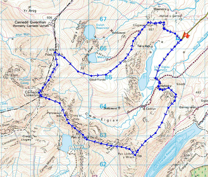
Route description: Parking area at the end of minor road from Tal-y-Bont into Cwm Eigiau-Hafod y rhiw-Pen Llithrig y Wrach-Pen yr Helgi Du-Carnedd Llewelyn-Foel Grach-Cefn Tal llyn Eigiau-Parking area at the end of minor road from Tal-y-Bont into Cwm Eigiau
It's been six years since my last walk in Snowdonia (the Glyders in June 2007) and at the beginning of this year I thought that it was about time I went back. It's a long day no matter where in Snowdonia I decide to go to but when the forecast is for a warm summers day the drive there and back is bearable.
After parking up at the end of the minor road up from Tal-y-bont (the drive up was an experience, several tight hairpin bends) I set off on the track up Cwm Eigiau. When I reached the dam of Llyn Eigiau the track turns left up to the house of Hafod-y-rhiw. A path then continues up onto the ridge and then the summit of Pen Llithrig y Wrach. The walk then took me over the summits at the head of Cwm Eigiau; Pen yr Helgi Du, Carnedd Llewelyn and Foel Grach. My route back took me down the broad grassy ridge of Cefn Tal-llyn-Eigiau at the end of which I joined a track that took me back to the start.
Route map
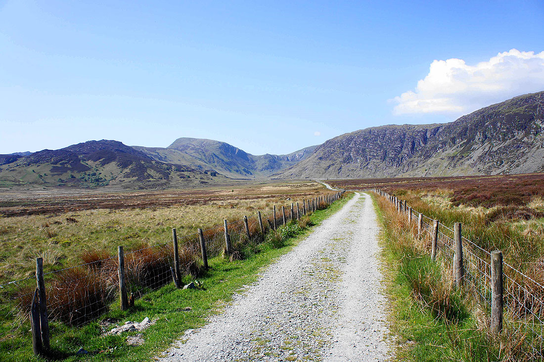
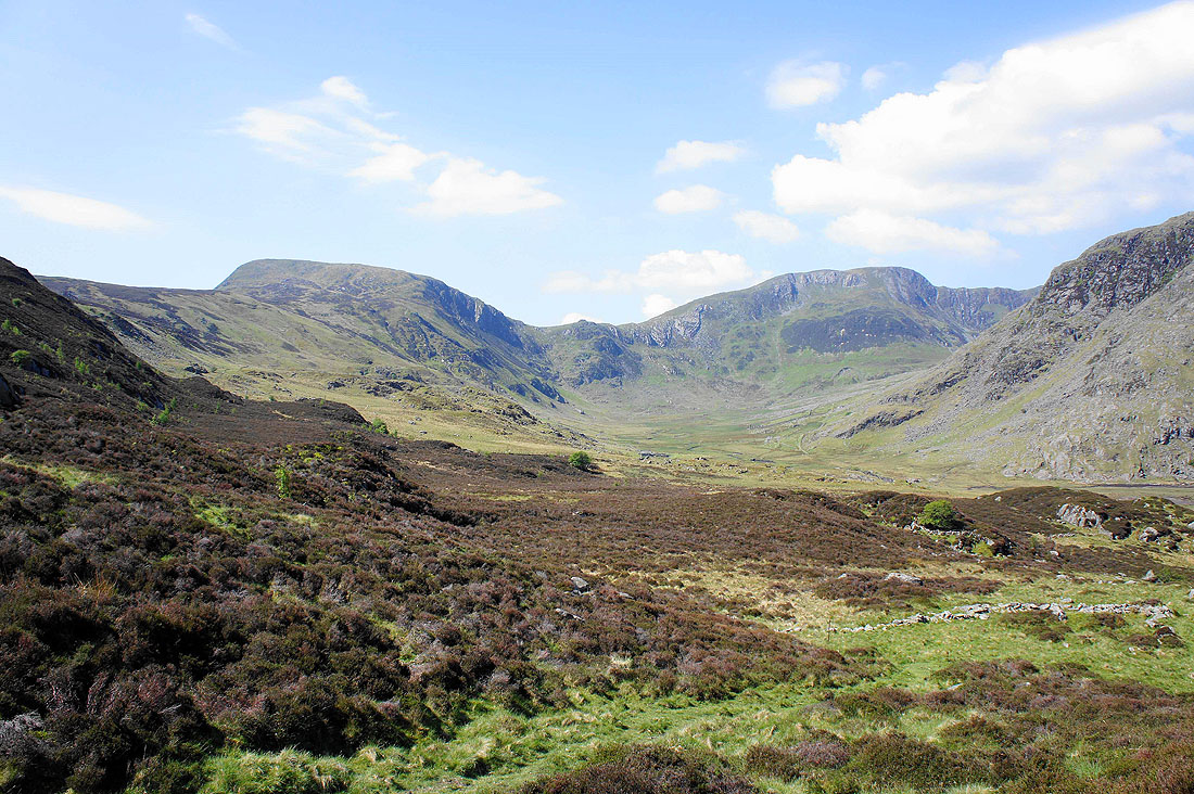
The track that leads into Cwm Eigiau from the end of the road where I'm parked. The first part of the walk will be the ridge that leads to the summit of Pen Llithrig y Wrach on the left.
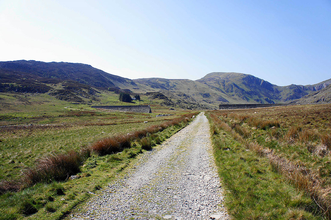
Approaching the dam at the end of the track. I'm going to head round to the left where the house of Hafod-y-rhiw is in those trees.
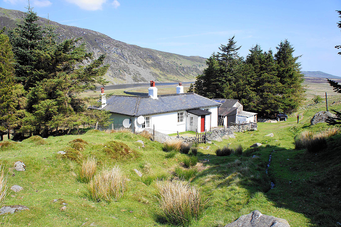
Hafod-y-rhiw
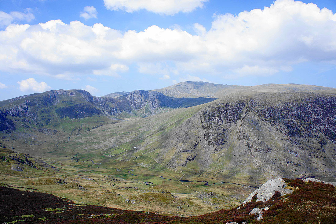
Climbing onto the ridge and I can see further into Cwm Eigiau. Pen Llithrig y Wrath on the left and Pen yr Helgi Du on the right.
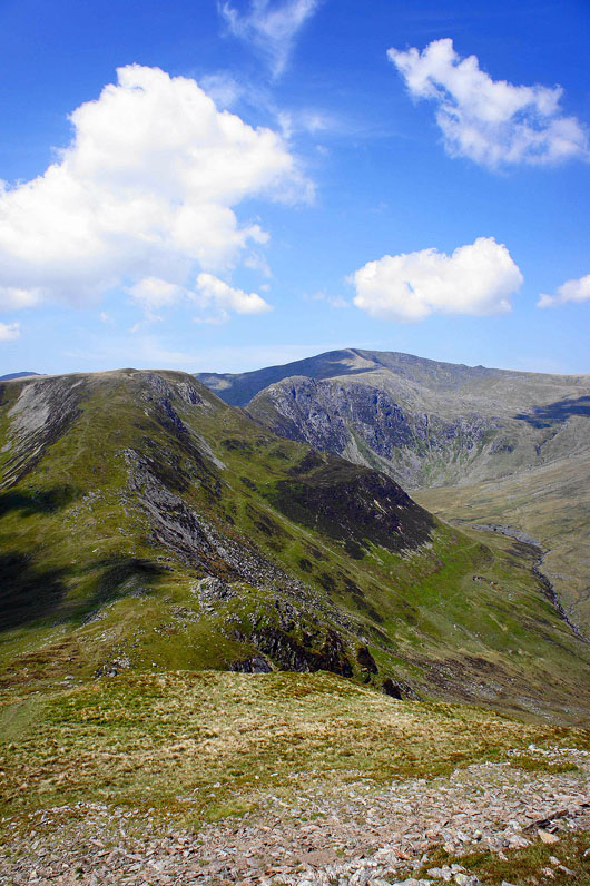
On the ridge looking across to Pen yr Helgi Du, Craig yr Ysfa and in the distance, the high point of the walk Carnedd Llewelyn
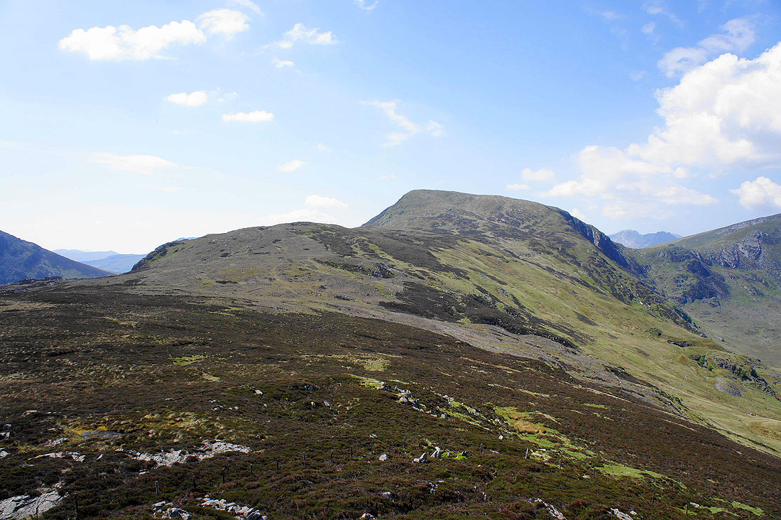
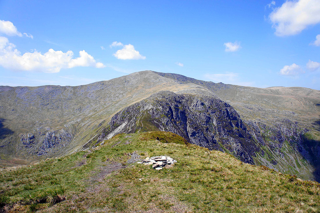
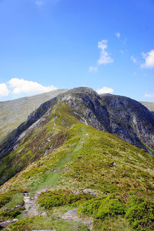
The summit of Pen Llithrig y Wrach ahead
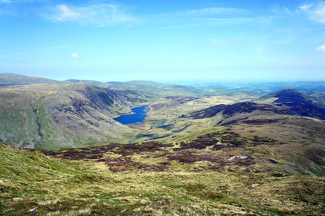
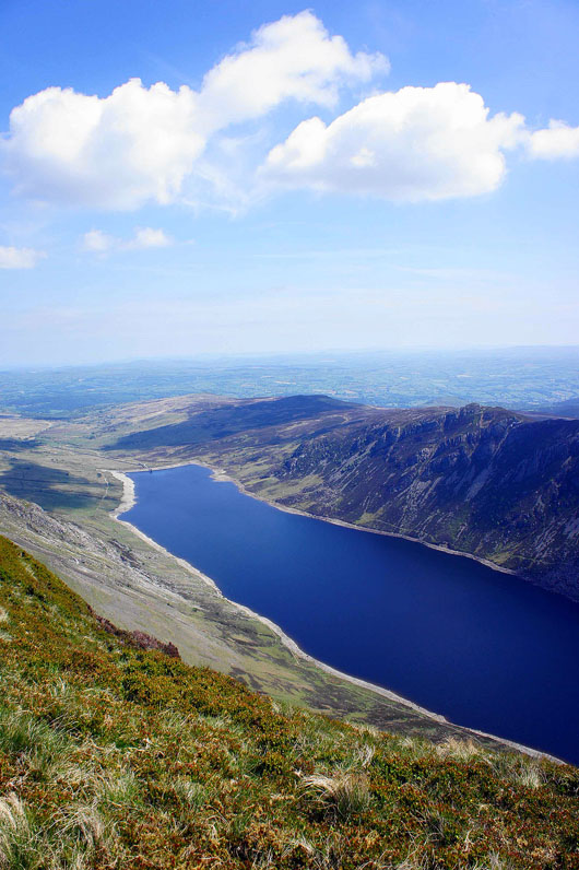
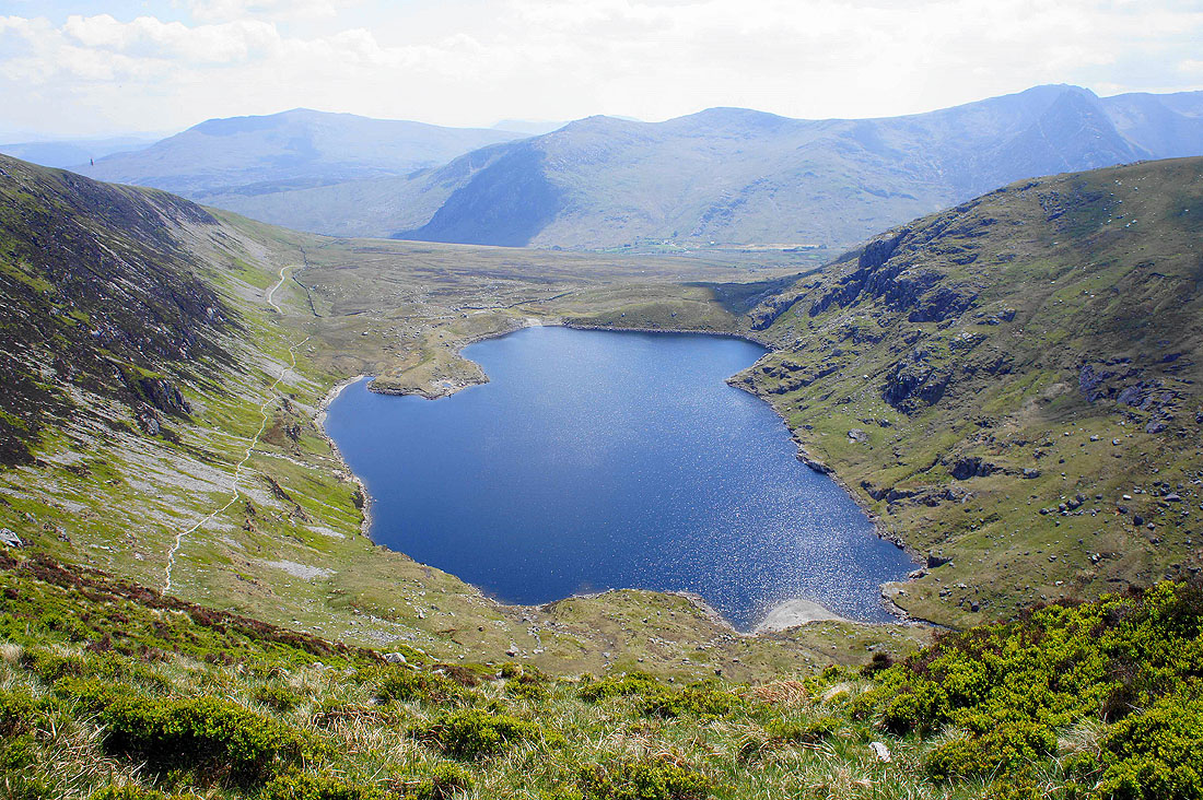
Looking back down to Llyn Eigiau as I near the top
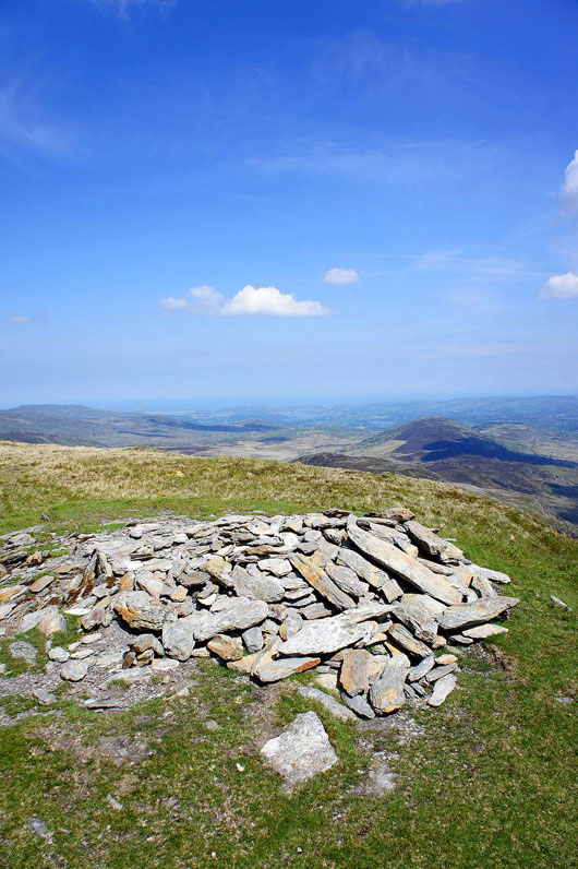
The summit of Pen Llithrig y Wrath
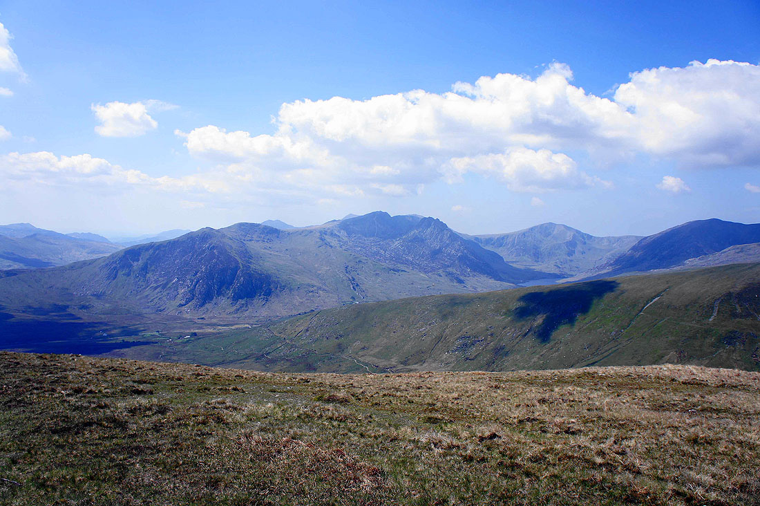
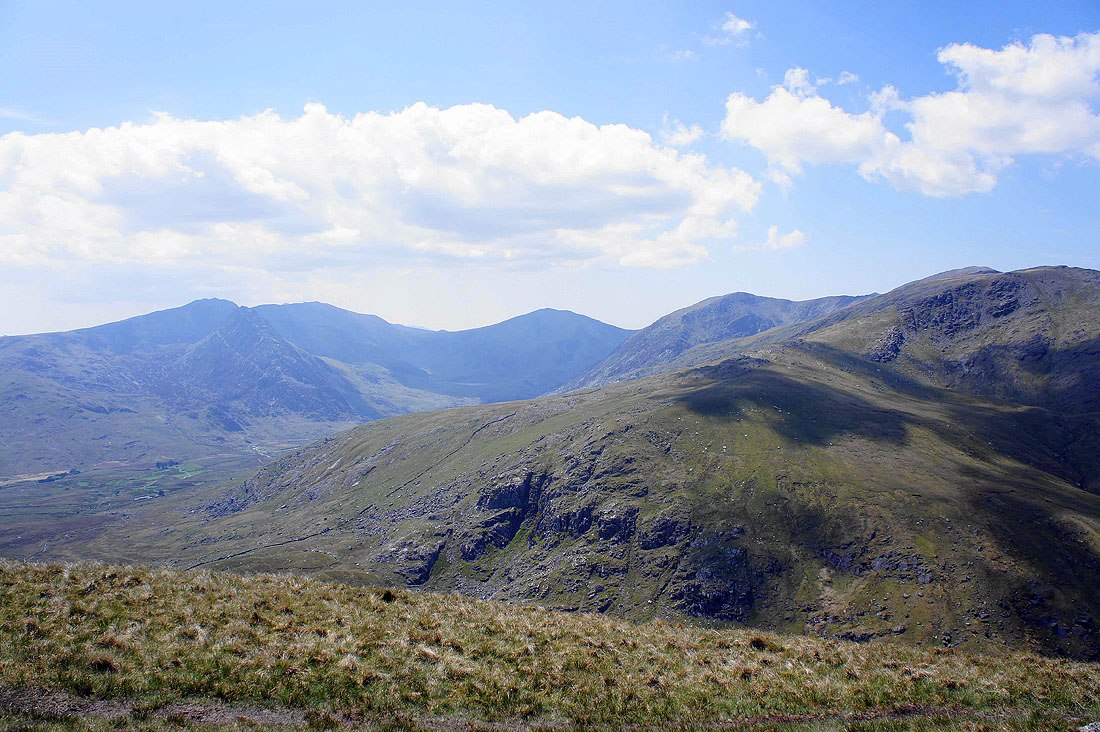
The Glyders. Starting from the left are the crags of Gallt yr Ogof, then Y Foel Goch, Glyder Fach and Fawr with the bristly Tryfan in front of them with Y Garn on the right.
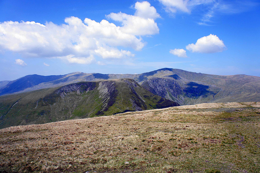
The next summit of Pen yr Helgi Du in the foreground with Pen yr Ole Wen, Carnedd Dafydd and Carnedd Llewelyn in the background
Moel Siabod
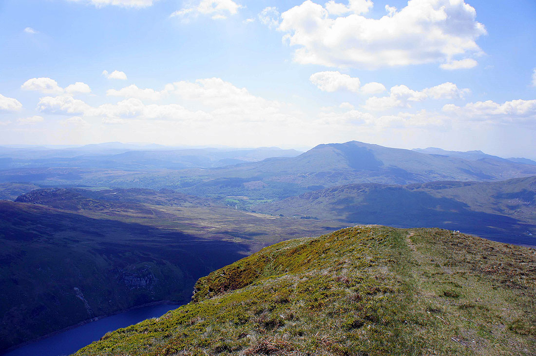
Llyn Cowlyd Reservoir below
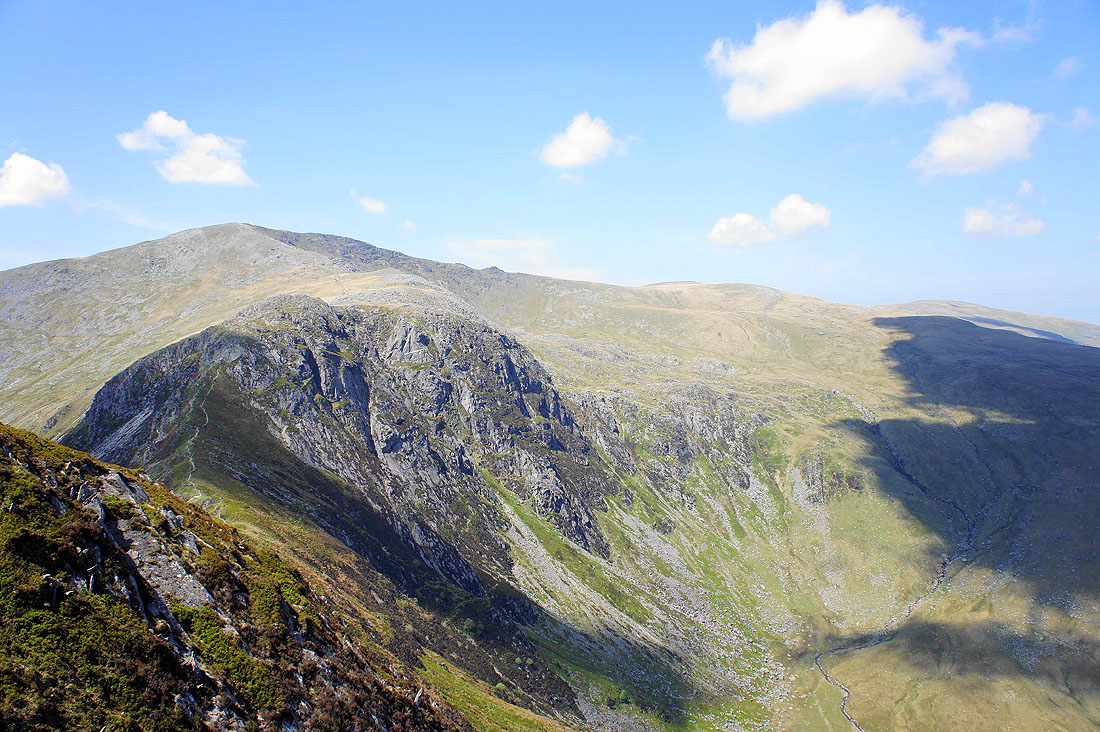
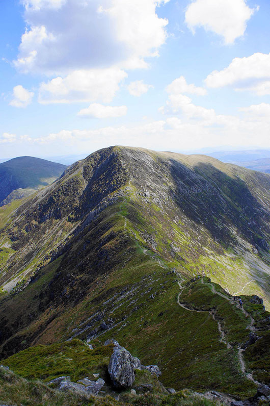
Pen yr Helgi Du and Carnedd Llewelyn as I head down to cross the Bwlch y Tri Marchog
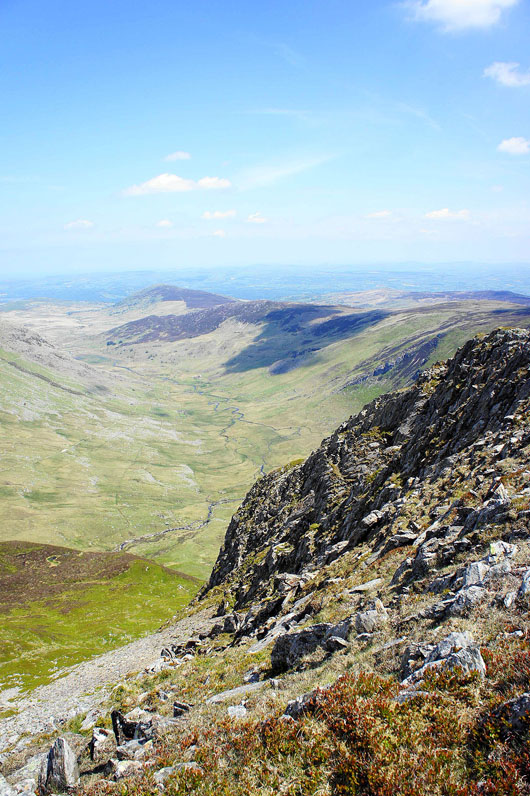
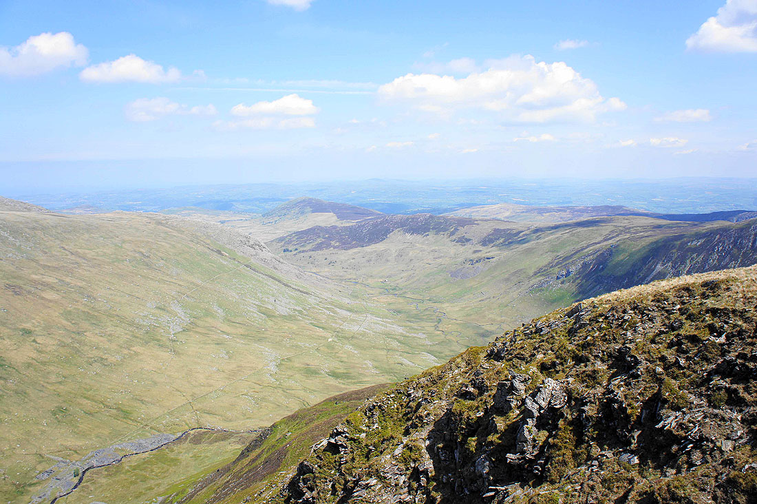
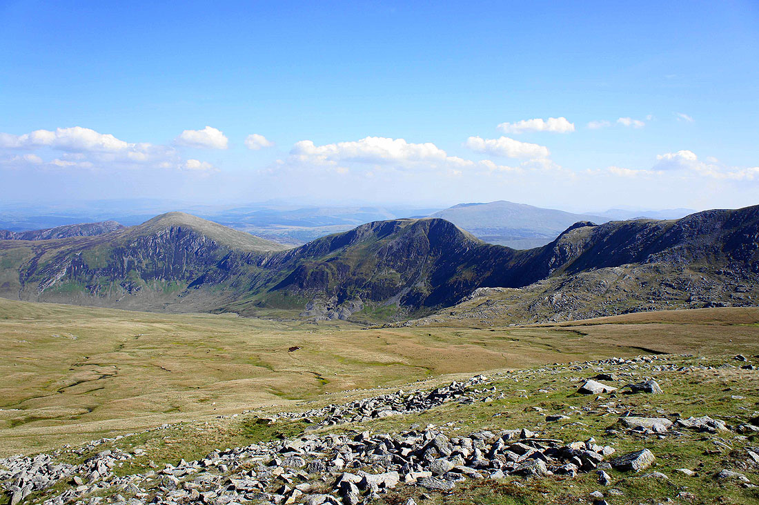
Cwm Eigiau as I near the top of Pen yr Helgi Du
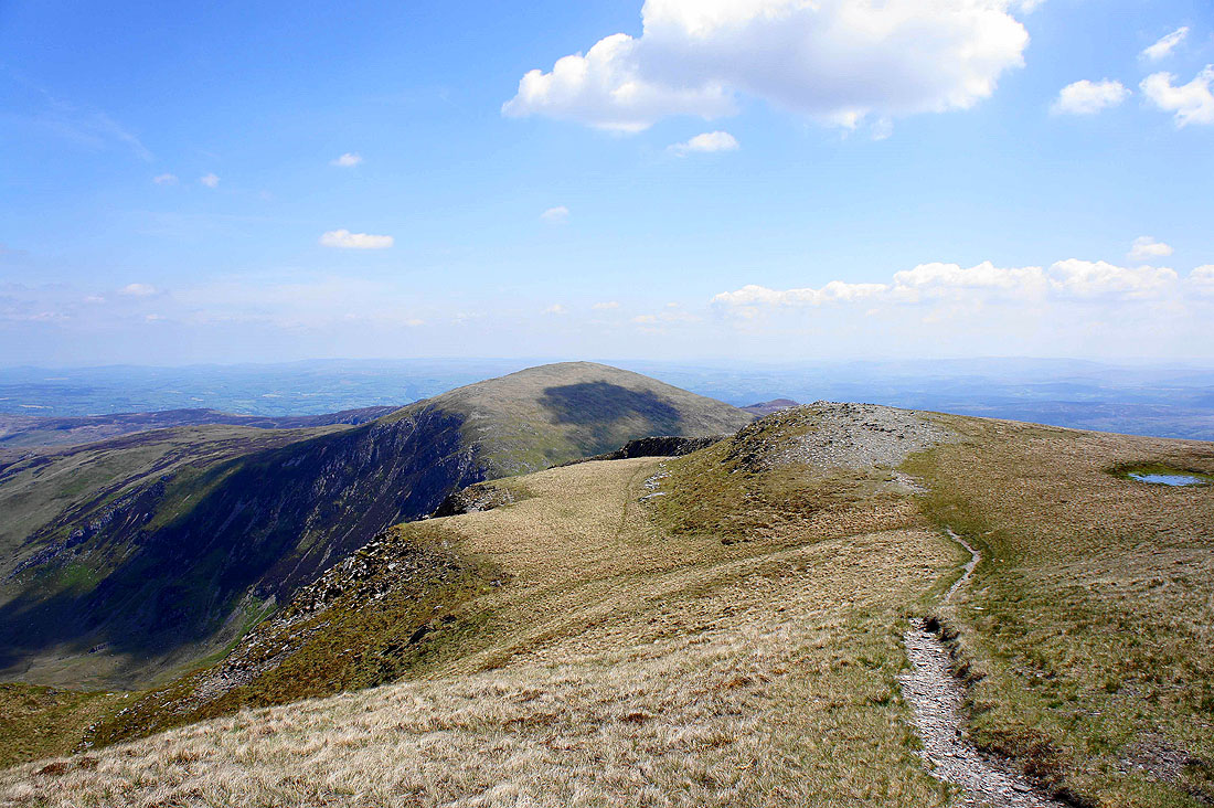
Looking back to Pen Llithrig y Wrach from Pen yr Helgi Du
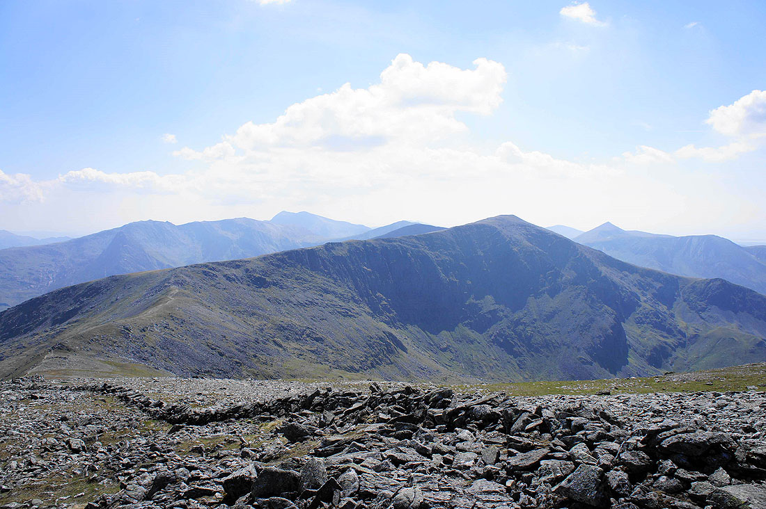
Carnedd Llewelyn and the crags of Craig yr Ysfa
Glyder Fach, Tryfan and Glyder Fawr, Y Garn, Pen yr Ole Wen and the slopes of Carnedd Dafydd
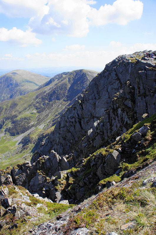
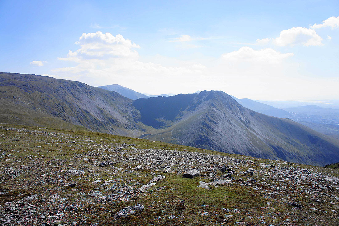
A better view of Craig yr Ysfa above Cwm Eigiau
Cwm Eigiau
A short scramble down from Pen yr Helgi Du onto the Bwlch Eryl Farchog with the top of Craig yr Ysfa ahead
Ffynnon Llugwy Reservoir
Pen yr Helgi Du and the ridge I've just traversed
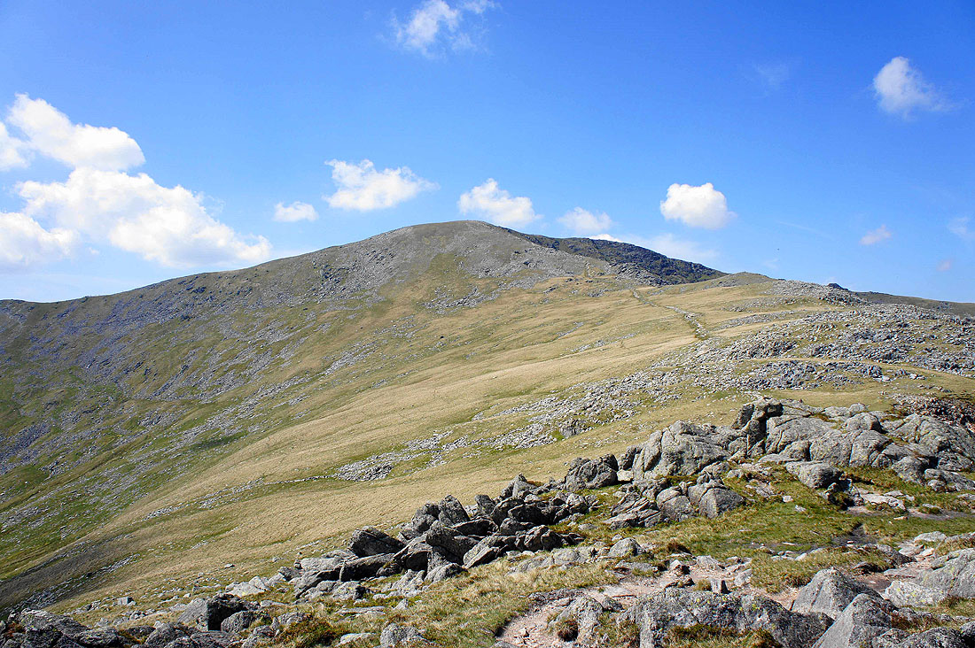
The final climb to Carnedd Llewelyn ahead
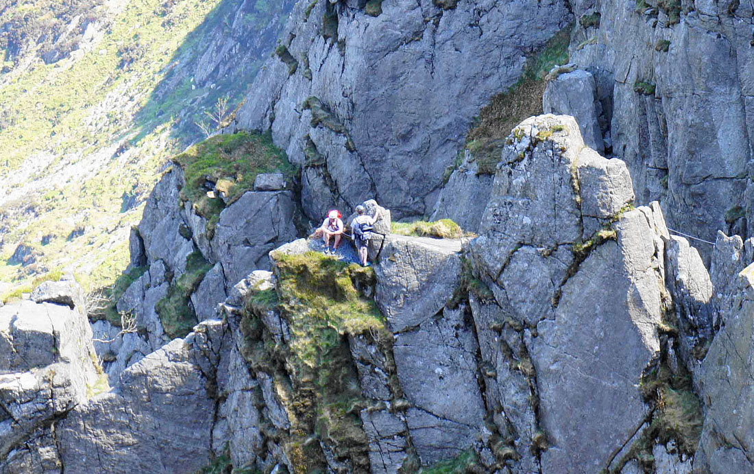
Craig yr Ysfa. There were several climbers making their way up. I've zoomed in on the rock tower bottom left to pick out a couple of them.
Pen Llithrig y Wrach and Pen yr Helgi Du seem much smaller now as I near the top of Carnedd Llewelyn
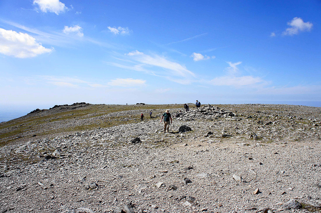
On the summit of Carnedd Llewelyn. A broad and stony top.
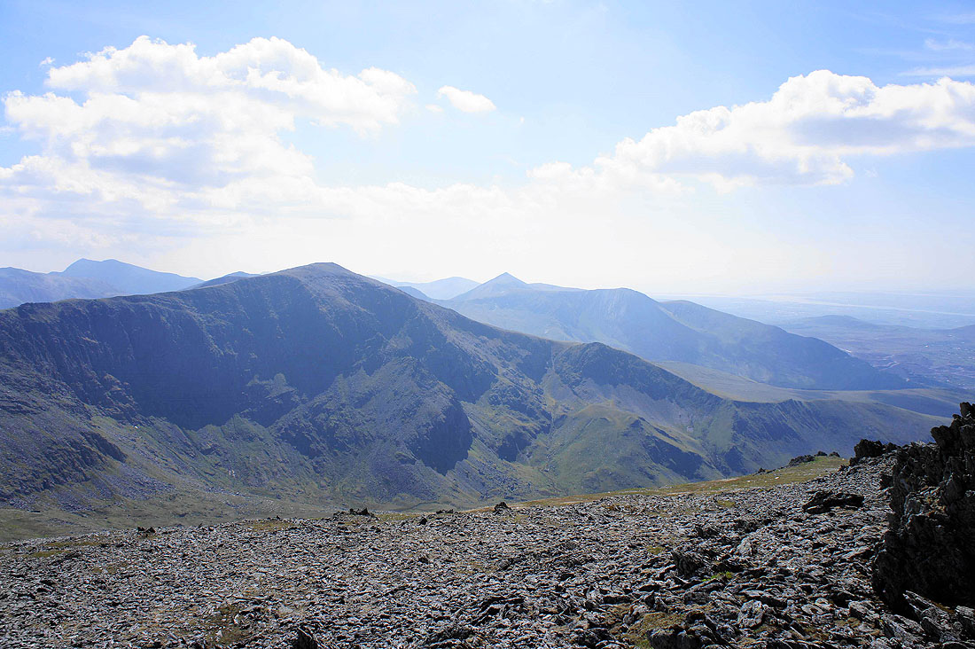
The Glyders and Snowden in the background beyond neighbouring Carnedd Dafydd
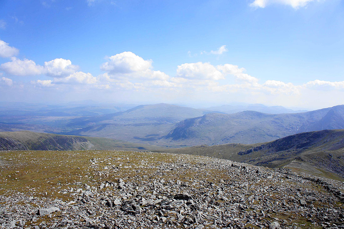
Moel Siabod in the distance
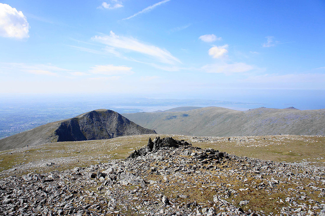
I've wandered across to a rocky top on the western edge of the summit for a better view to the west. Carnedd Dafydd and to its right the distinctive pointed top of Elidir Fawr in the Glyders.
The neighbouring peak of Yr Elen with the coast around Bangor, the Menai Straits and Anglesey in the background
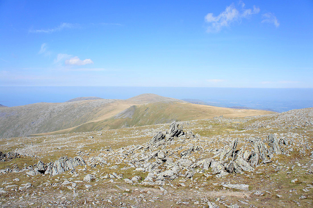
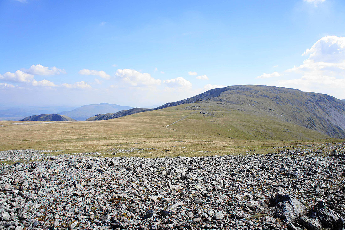
The next top of Foel Grach
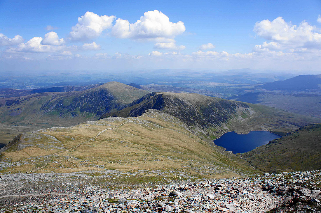
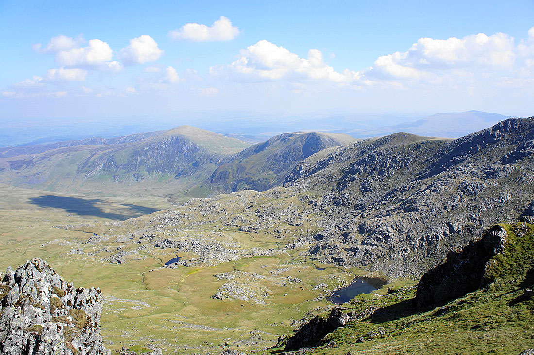
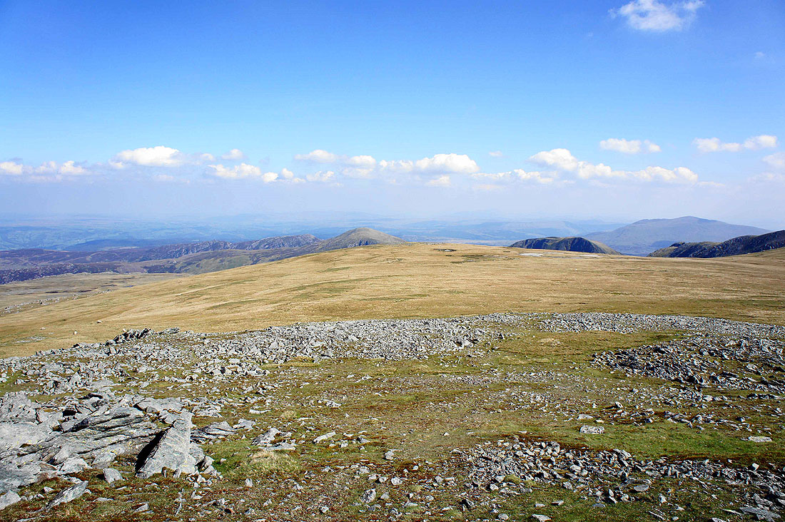
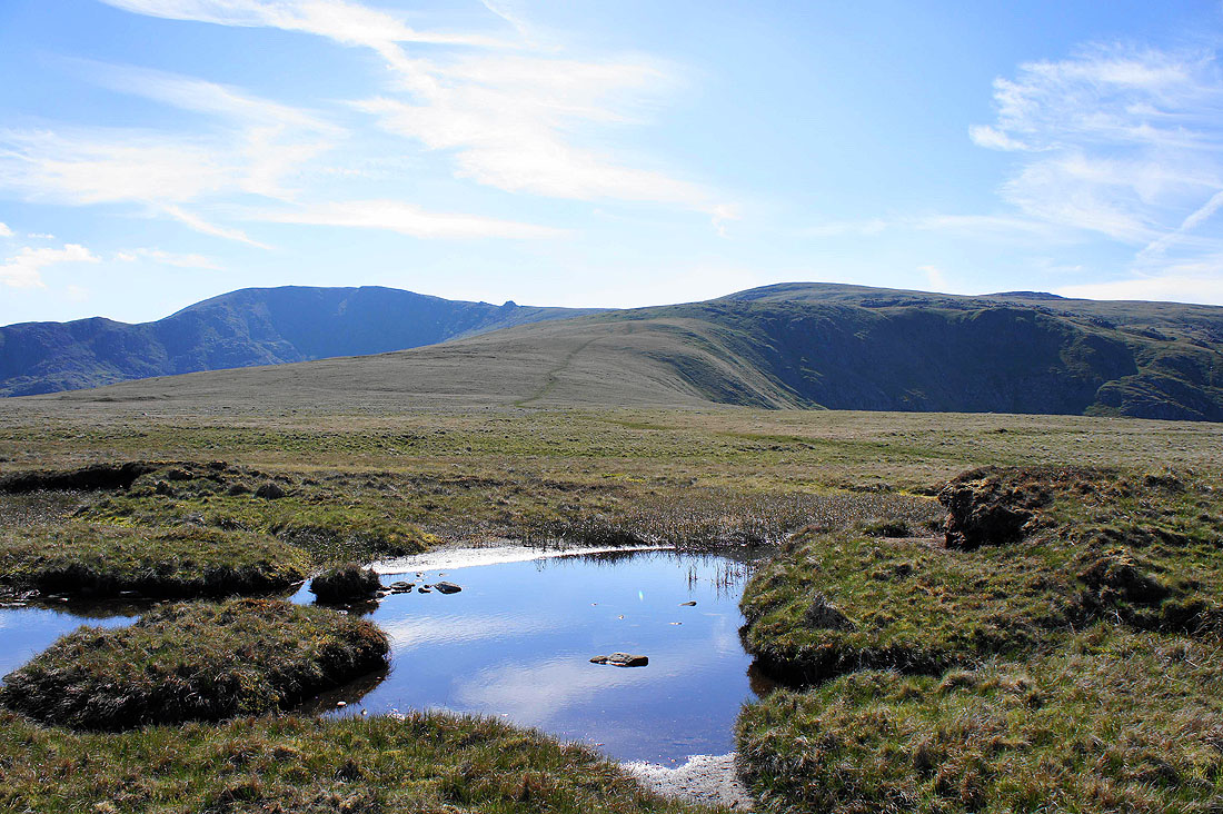
Pen Llithrig y Wrach, Pen yr Helgi Du and the northeastern cwm of Carnedd Llewelyn as I head for Foel Grach. The pool of water below on the right is Ffynnon Llyffant.
On the summit of Foel Grach. Looking north to Carnedd Gwenllian and Foel-Fras.
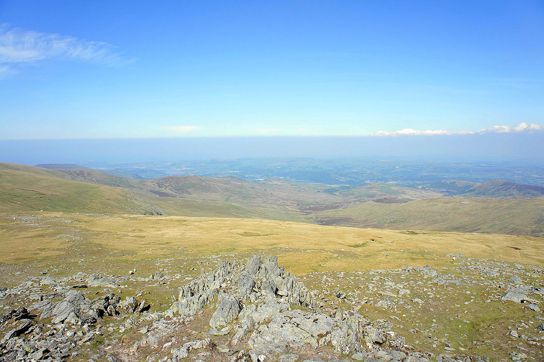
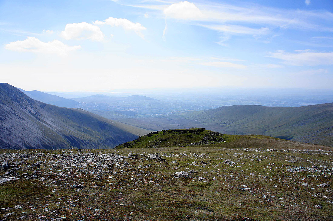
The Vale of Conwy below
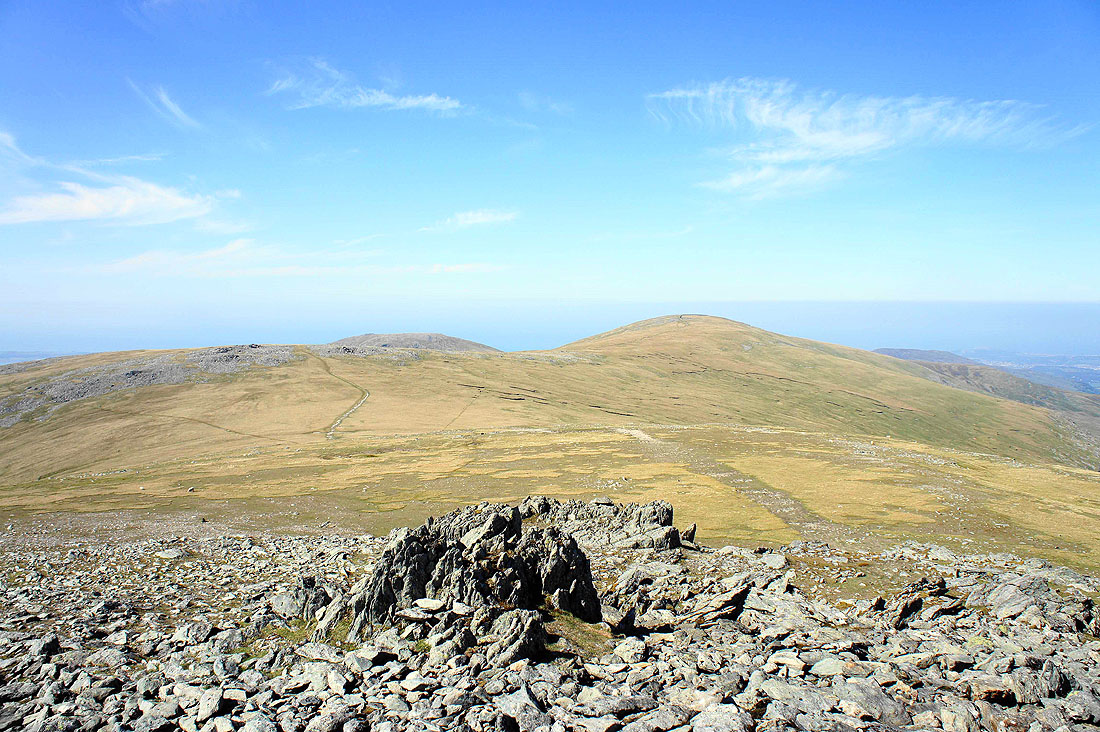
Looking back to Carnedd Llewelyn
The impressive looking Yr Elen
The valley of Afon Caseg heading down to Bethesda
Time to head back down a long grassy ridge
Pen Llithrig y Wrach and Pen yr Helgi Du across Cwm Eigiau
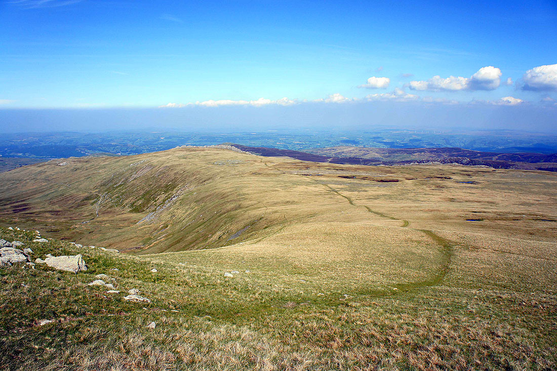
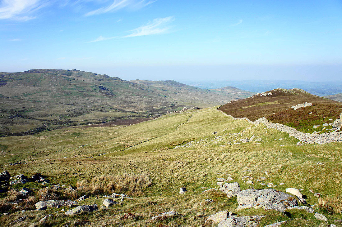
The grassy ridge of Cefn Tal-llyn-Eigiau, my route of descent
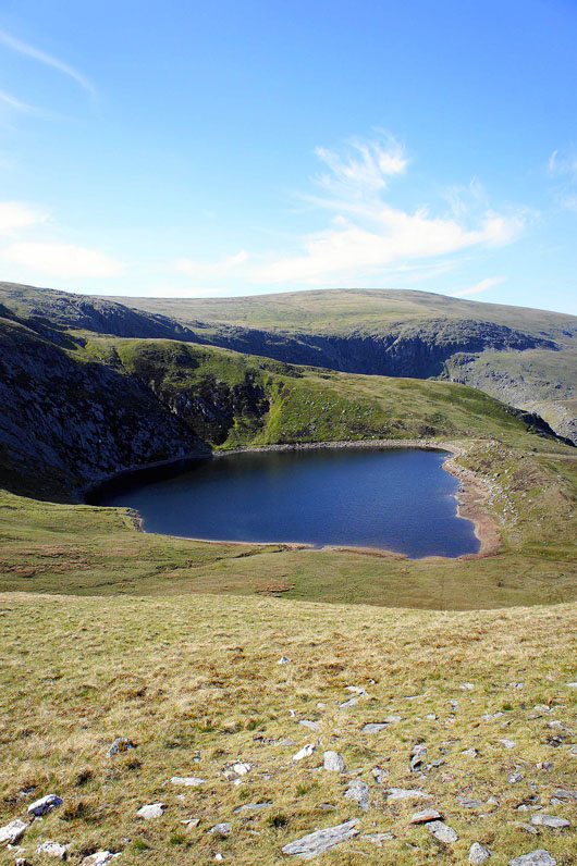
Melynllyn
Looking back to Carnedd Llewelyn and Foel Grach
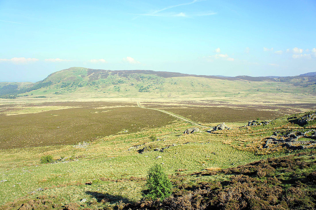
Nearing the end of the ridge and the track that will take me back to where I'm parked is just below
The photo doesn't show it but I can see where I'm parked. The hill on the other side of the valley is Moel Eilio.
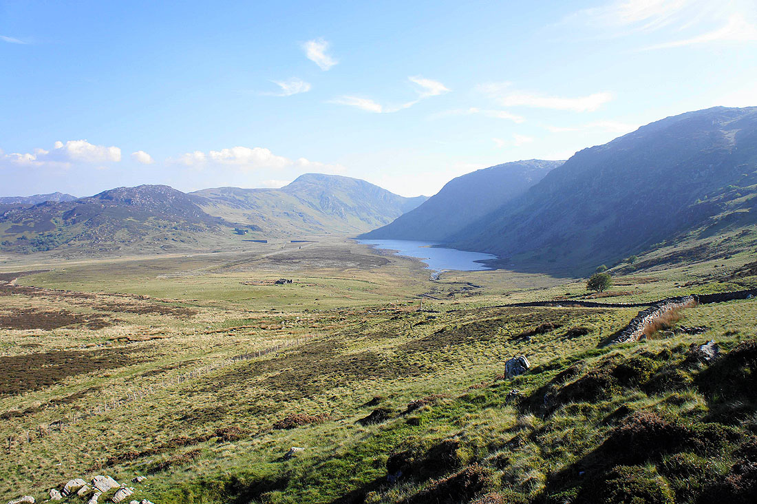
A final shot of Cwm Eigiau
