8th March 2020 - Bewerley Moor and Guise Cliff
Walk Details
Distance walked: 10.7 miles
Total ascent: 1990 ft
OS map used: 298 - Nidderdale
Time taken: 7 hrs
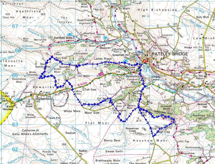
Route description: Pateley Bridge-Bridgehouse Gate-Nidderdale Way-Ladies Riggs-Hillend-Brandstone Dub Bridge-Nidderdale Way-Near Hardcastle-Bewerley Moor-Partridge Garth-B6265-The Coldstones Cut-Moor Houses-Gillbeck Farm-Low Moor-Fosse Gill-Nought Moor-Nought Moor Road-High Crag Ridge-Guise Cliff-Nidderdale Way-Nought Bank Road-Nought Moor-Nidderdale Way-Bewerley-Bridgehouse Gate-Pateley Bridge
This walk was the other one of the two routes that I had in mind when I last visited Nidderdale on 25th January, the one that deserved having better weather for. The walk that I did took in some of the moors on the western side of Nidderdale above Pateley Bridge, and Guise Cliff. Today's visit to Guise Cliff makes it three times in one year. I think there must be something about it that I like. It could be that it's a quiet spot to take in a great view of Nidderdale. Although the weather was better than the day back in January it wasn't perfect; with a strong, cold wind and a couple of passing showers. Things had improved by the time that I arrived on Guise Cliff though, as the the showers died away and there was more in the way of sunshine. While I was walking up Nought Bank Road in the afternoon I was passed by dozens of tractors heading south across the moor. They came in all shapes and sizes, from brand new to older than I am, and it took longer than 30 minutes for them all to pass through. I'm guessing that there'd been a tractor rally going on somewhere.
From the car park on the south side of Pateley Bridge I walked south by the B6265 to Bridgehouse Gate and turned right onto Low Wath Road. I then walked north by this road until I reached a lane on the left, which I took after crossing Low Wath Road, then walked up this lane to a footpath sign on the right. I followed this footpath up a track, and then up through fields past Eagle Hall, to reach the Nidderdale Way. The Nidderdale Way then took me west along a track over Ladies Riggs, down to and past Hillend, and over Brandstone Dub Bridge. As the Nidderdale Way was making its way around the hill of Nabs I left it for a footpath on the left along a track down to a ford over Brandstone Beck, then once across this I took a track up Bewerley Moor to reach the end of a lane down from the B6265. After walking up this lane for a short distance I took a bridleway on the left and followed it east towards Coldstones Fold before taking a footpath on the right up past Partridge Garth to the B6265. I then paid a visit to the monumental sculpture of The Coldstones Cut, the ruins of the Toft Gate Lime Kiln and had my lunch at the picnic site in the car park there. After this break I continued by walking south down the lane to Bewerley before taking a footpath on the left down through fields past Moor Houses to Gillbeck Farm. From here I took a track down to a beck and then a footpath up to the lane above, which I crossed, for the bridleway south across Low Moor. When this bridleway met another one I turned right, followed this south for a short distance, and then took a footpath on the left down to and across Fosse Gill and up across Nought Moor to Nought Bank Road. I then walked south up Nought Moor Road until I reached a footpath on the left across High Crag Ridge, past the trig point on High Crag, and to the southern end of Guise Cliff. I then made my way north along the top of Guise Cliff and onto the Nidderdale Way, which I followed down to Nought Bank Road, across Nought Moor, down through Skrikes Wood, and then down the road to the village of Bewerley. I left the trail behind in Bewerley for the walk along the road back to Bridgehouse Gate and the car park on the south side of Pateley Bridge.
Total ascent: 1990 ft
OS map used: 298 - Nidderdale
Time taken: 7 hrs
Route description: Pateley Bridge-Bridgehouse Gate-Nidderdale Way-Ladies Riggs-Hillend-Brandstone Dub Bridge-Nidderdale Way-Near Hardcastle-Bewerley Moor-Partridge Garth-B6265-The Coldstones Cut-Moor Houses-Gillbeck Farm-Low Moor-Fosse Gill-Nought Moor-Nought Moor Road-High Crag Ridge-Guise Cliff-Nidderdale Way-Nought Bank Road-Nought Moor-Nidderdale Way-Bewerley-Bridgehouse Gate-Pateley Bridge
This walk was the other one of the two routes that I had in mind when I last visited Nidderdale on 25th January, the one that deserved having better weather for. The walk that I did took in some of the moors on the western side of Nidderdale above Pateley Bridge, and Guise Cliff. Today's visit to Guise Cliff makes it three times in one year. I think there must be something about it that I like. It could be that it's a quiet spot to take in a great view of Nidderdale. Although the weather was better than the day back in January it wasn't perfect; with a strong, cold wind and a couple of passing showers. Things had improved by the time that I arrived on Guise Cliff though, as the the showers died away and there was more in the way of sunshine. While I was walking up Nought Bank Road in the afternoon I was passed by dozens of tractors heading south across the moor. They came in all shapes and sizes, from brand new to older than I am, and it took longer than 30 minutes for them all to pass through. I'm guessing that there'd been a tractor rally going on somewhere.
From the car park on the south side of Pateley Bridge I walked south by the B6265 to Bridgehouse Gate and turned right onto Low Wath Road. I then walked north by this road until I reached a lane on the left, which I took after crossing Low Wath Road, then walked up this lane to a footpath sign on the right. I followed this footpath up a track, and then up through fields past Eagle Hall, to reach the Nidderdale Way. The Nidderdale Way then took me west along a track over Ladies Riggs, down to and past Hillend, and over Brandstone Dub Bridge. As the Nidderdale Way was making its way around the hill of Nabs I left it for a footpath on the left along a track down to a ford over Brandstone Beck, then once across this I took a track up Bewerley Moor to reach the end of a lane down from the B6265. After walking up this lane for a short distance I took a bridleway on the left and followed it east towards Coldstones Fold before taking a footpath on the right up past Partridge Garth to the B6265. I then paid a visit to the monumental sculpture of The Coldstones Cut, the ruins of the Toft Gate Lime Kiln and had my lunch at the picnic site in the car park there. After this break I continued by walking south down the lane to Bewerley before taking a footpath on the left down through fields past Moor Houses to Gillbeck Farm. From here I took a track down to a beck and then a footpath up to the lane above, which I crossed, for the bridleway south across Low Moor. When this bridleway met another one I turned right, followed this south for a short distance, and then took a footpath on the left down to and across Fosse Gill and up across Nought Moor to Nought Bank Road. I then walked south up Nought Moor Road until I reached a footpath on the left across High Crag Ridge, past the trig point on High Crag, and to the southern end of Guise Cliff. I then made my way north along the top of Guise Cliff and onto the Nidderdale Way, which I followed down to Nought Bank Road, across Nought Moor, down through Skrikes Wood, and then down the road to the village of Bewerley. I left the trail behind in Bewerley for the walk along the road back to Bridgehouse Gate and the car park on the south side of Pateley Bridge.
Route map
© Crown copyright. All rights reserved. License number PU 100034184.
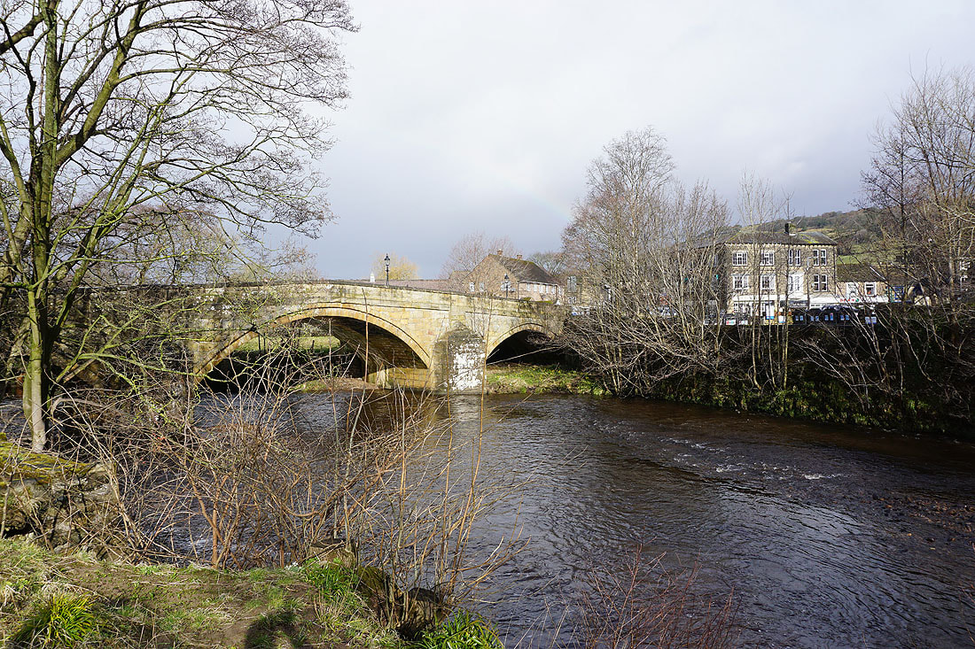
Pateley Bridge over the River Nidd
A burst of sunshine as I leave Bridgehouse Gate
Looking up Nidderdale towards Wath
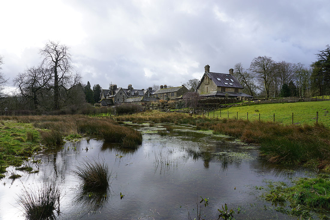
Eagle Hall
Sunshine on the moorland of High Bishopside
Heading west on the Nidderdale Way across Ladies Riggs
Looking back towards Nidderdale and Pateley Bridge
On the Nidderdale Way to Brandstone Dub Bridge..
Brandstone Beck from Brandstone Dub Bridge
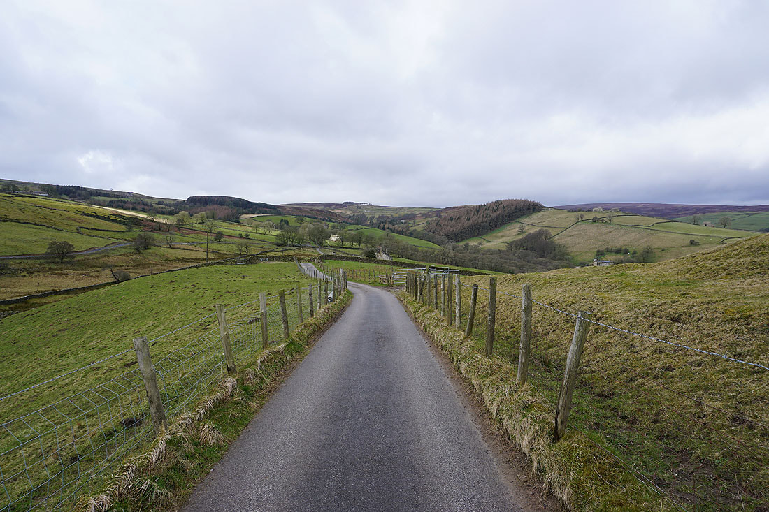
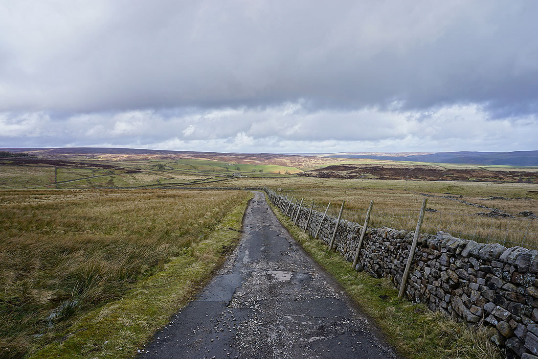
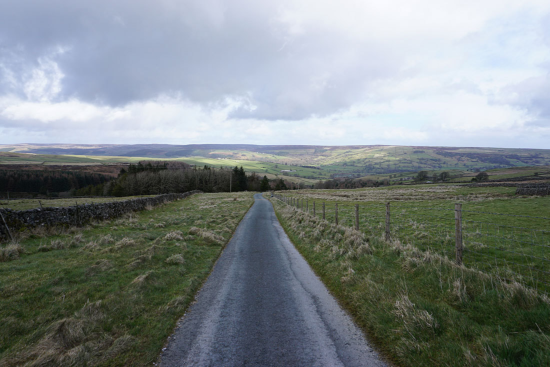
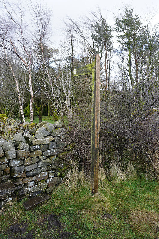
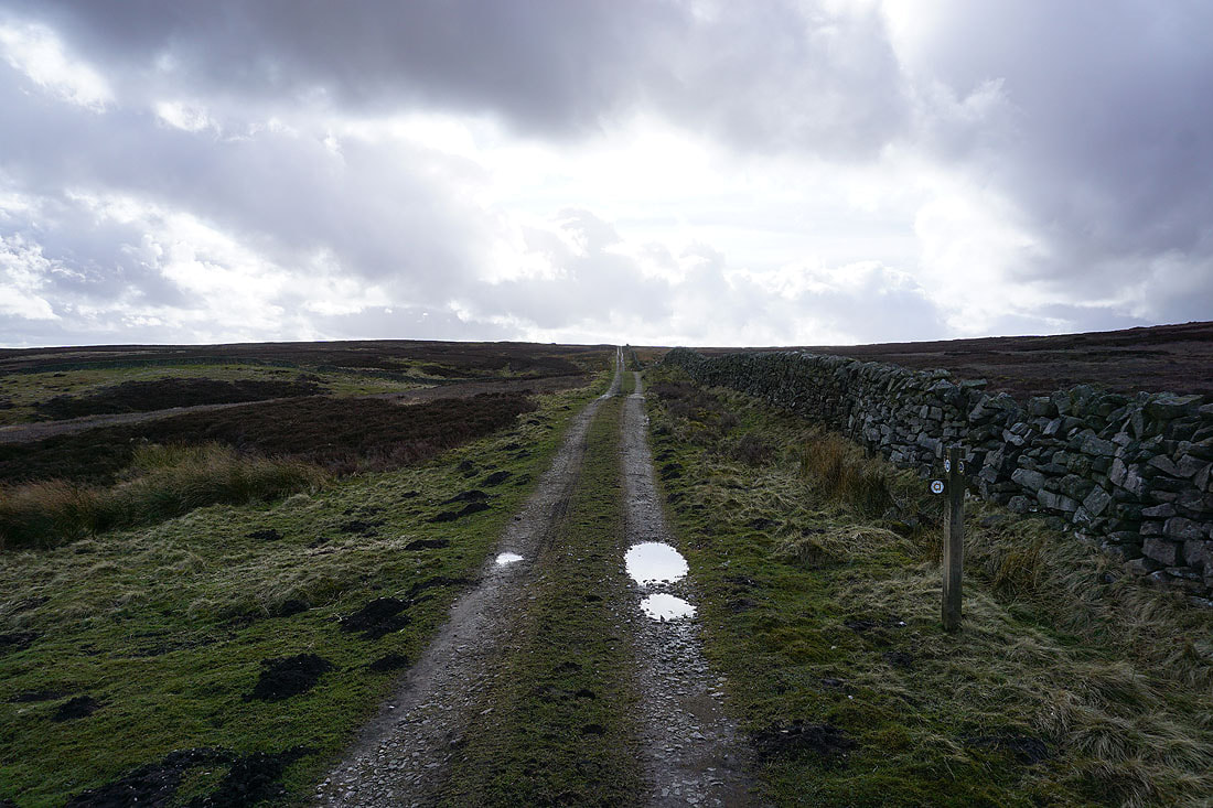
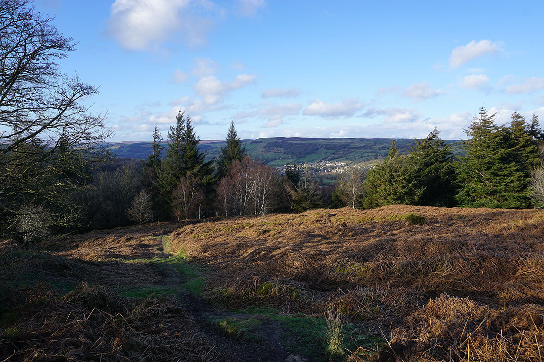
Still on the Nidderdale Way, but not for much longer, as I'll soon take a footpath on the left up to the disused mine workings on Bewerley Moor
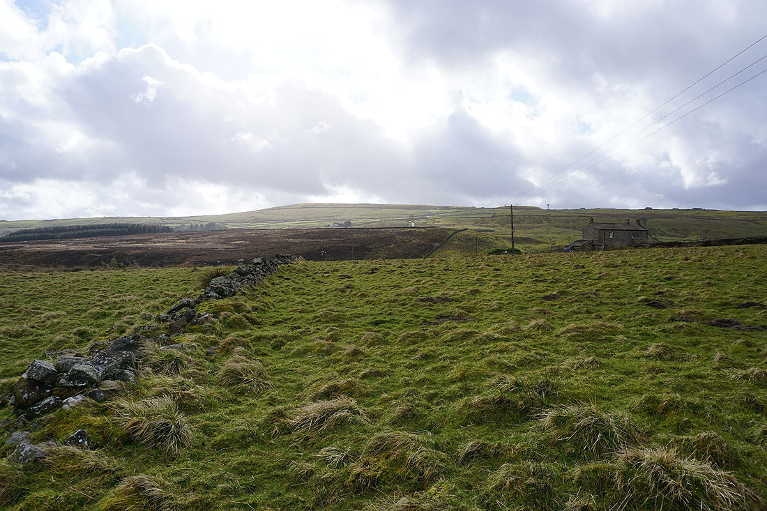
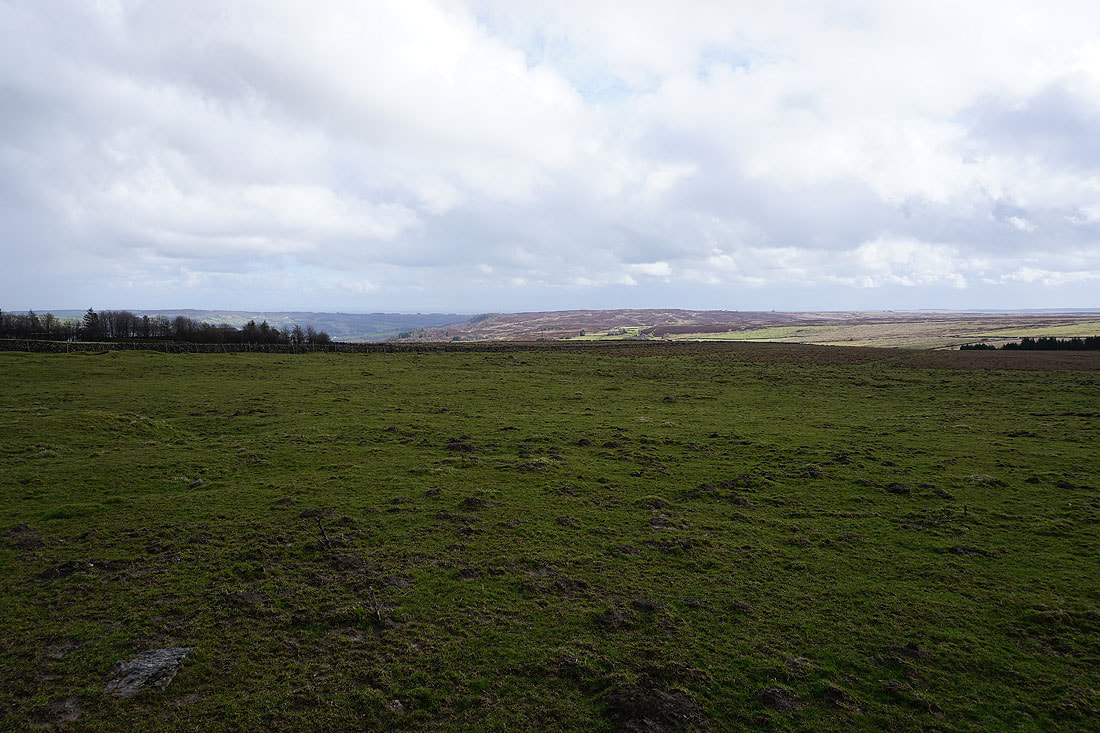
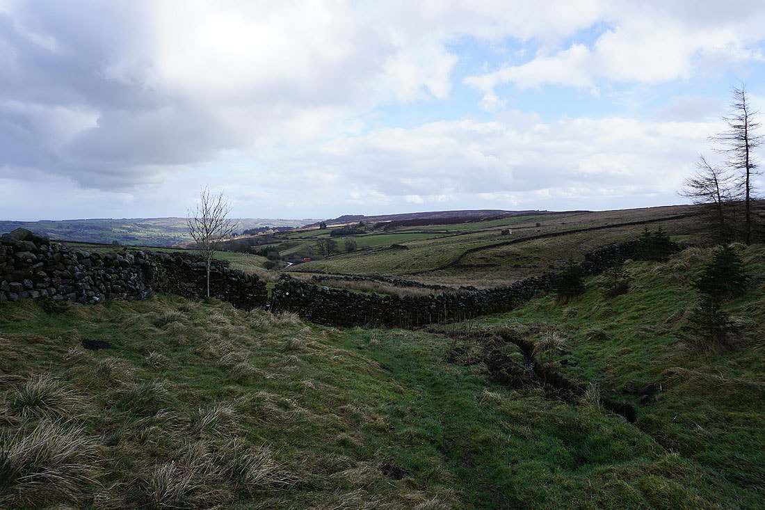
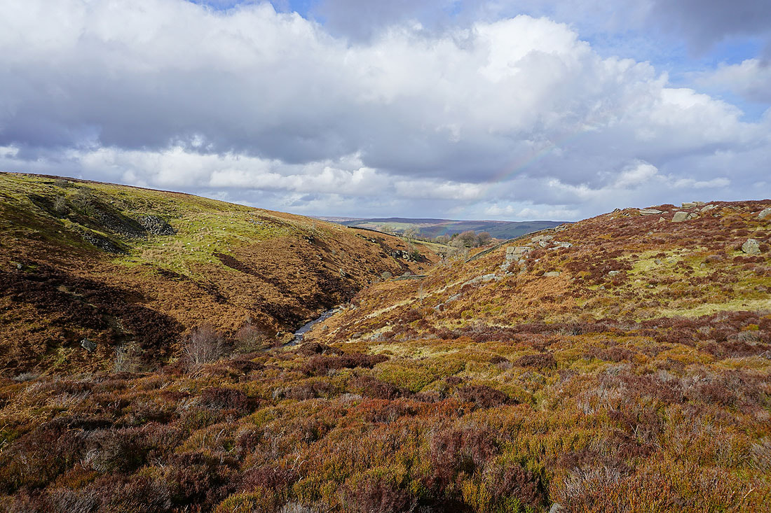
Bewerley Moor and Green Moor
Looking east towards Ladies Rigg and Nidderdale from the path up to Bewerley Moor
The path heads down to cross the ford over Brandstone Beck. I couldn't use the ford as the beck was in spate, an alternative crossing point had to be sought.
Above Brandstone Beck with sunshine on the hill of Nabs
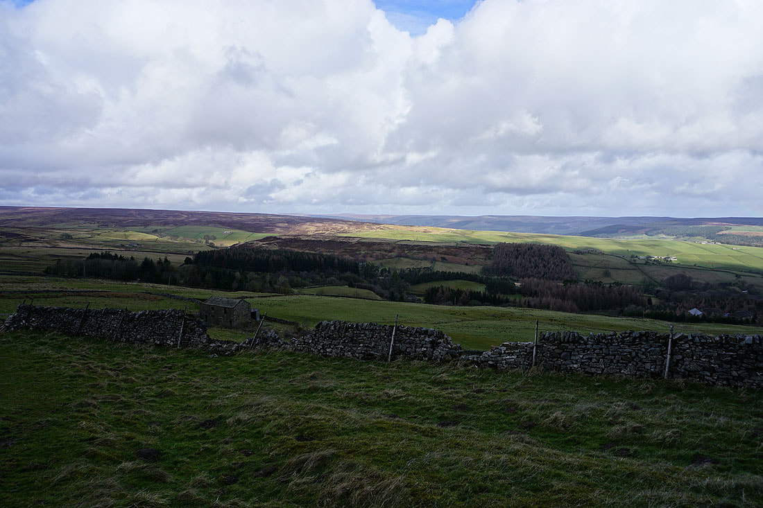
Heathfield Moor to the north from the byway on Bewerley Moor
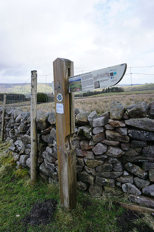
A pop-up information board on a local geology trail
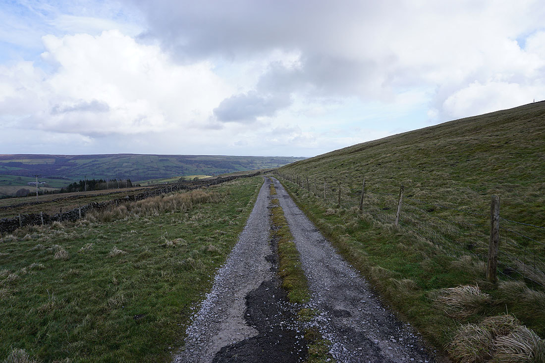
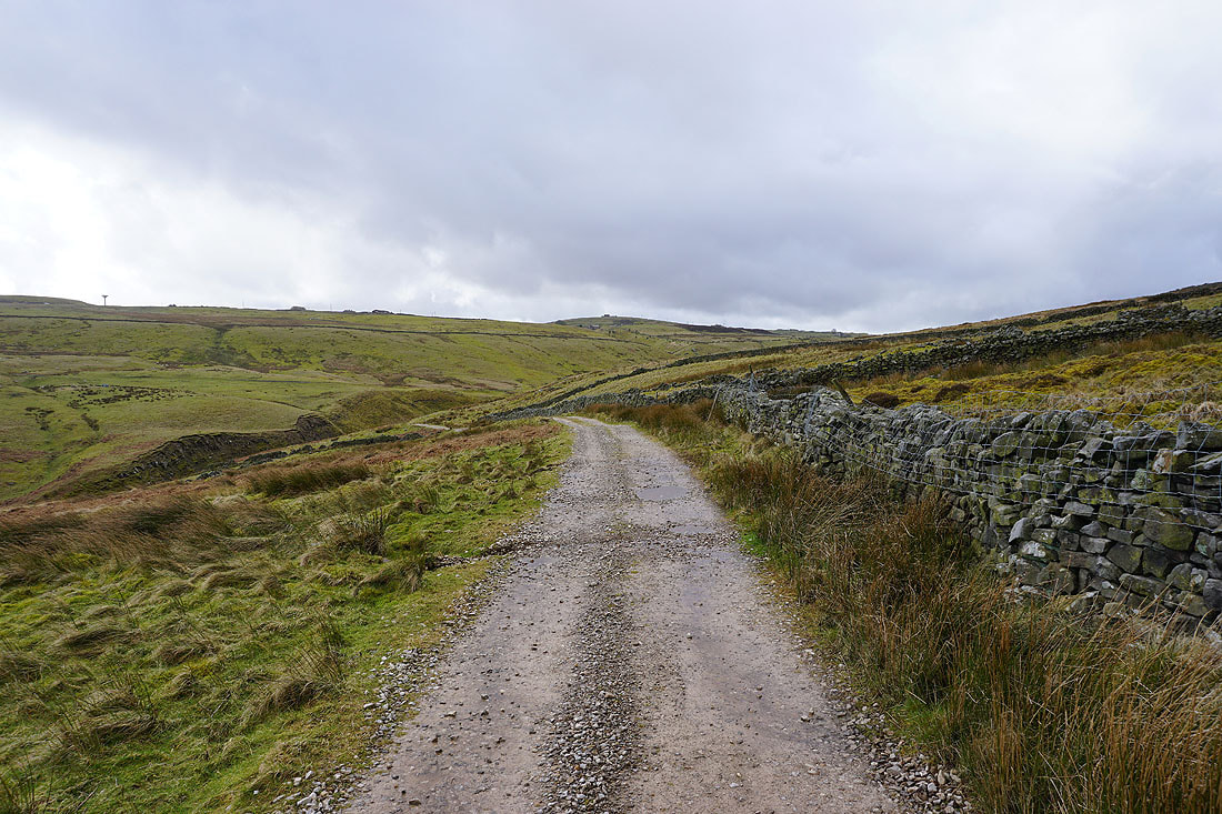
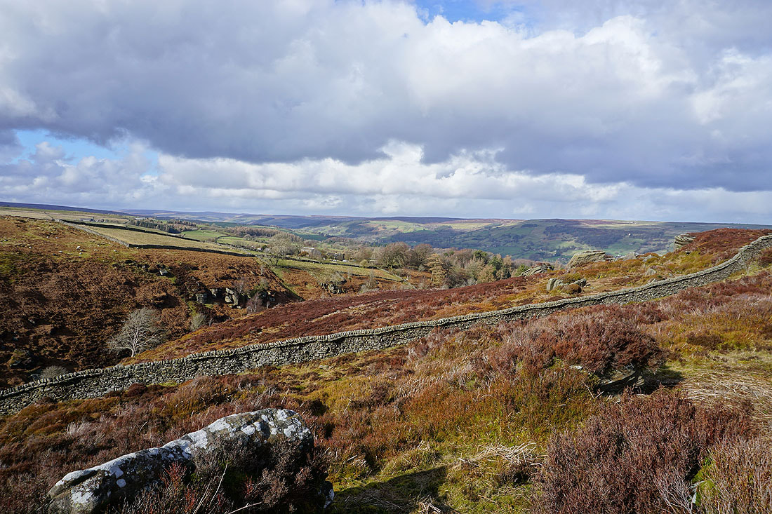
On the bridleway east to Coldstones Fold
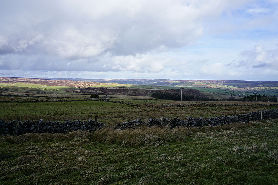
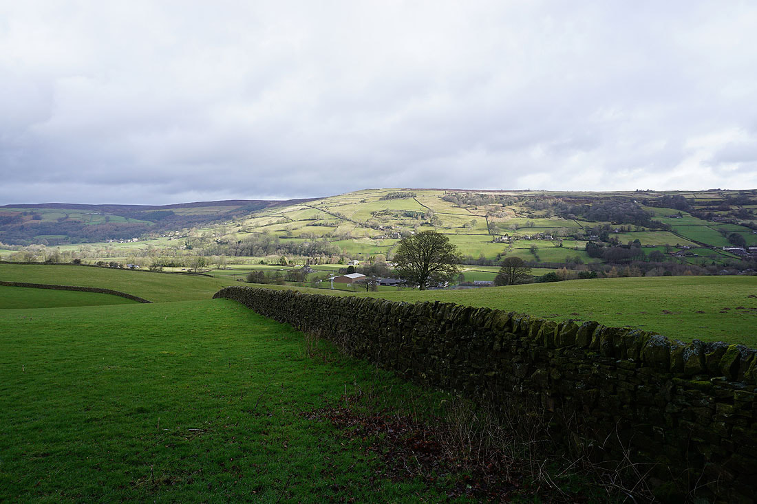
Views to the north and east across Nidderdale..
Looking north across Nidderdale from the path up to the B6265
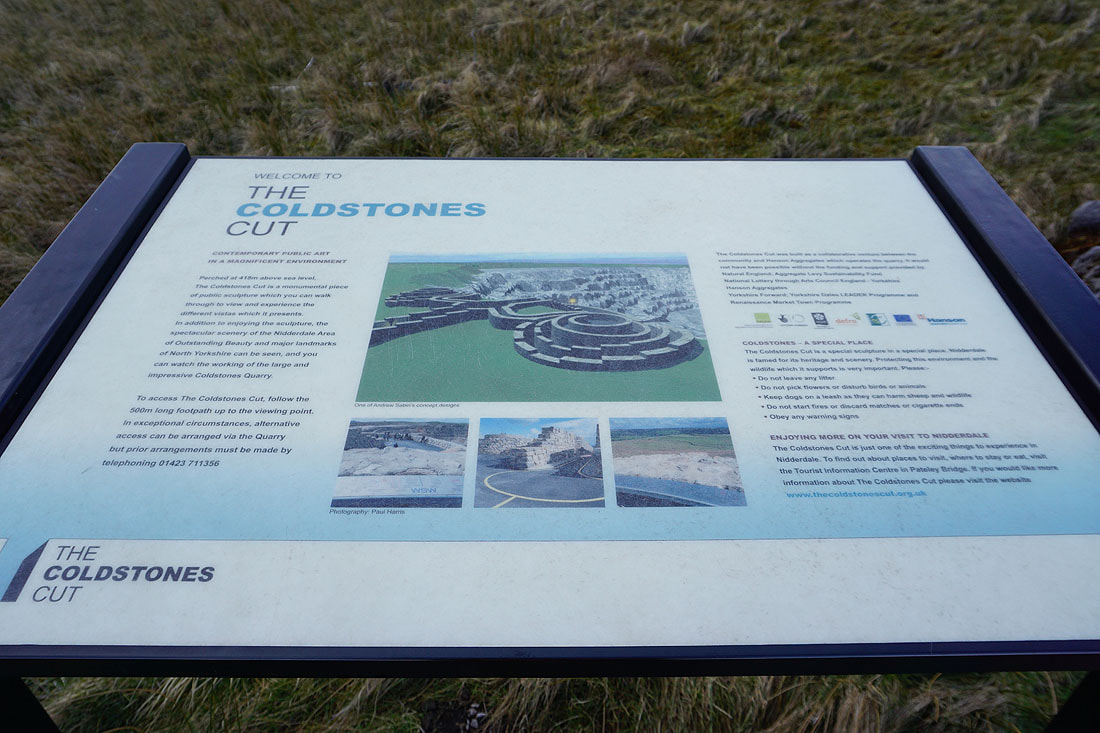
After crossing the B6265 I've made my way up to the monumental sculpture of The Coldstones Cut
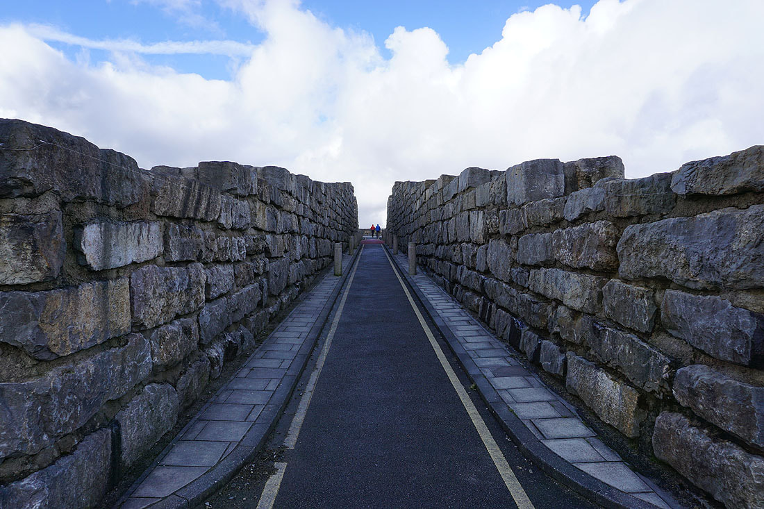
Heading up to the viewing point
The Nidderdale moors from The Coldstones Cut
Looking down Nidderdale to Brimham Moor and High Crag Ridge
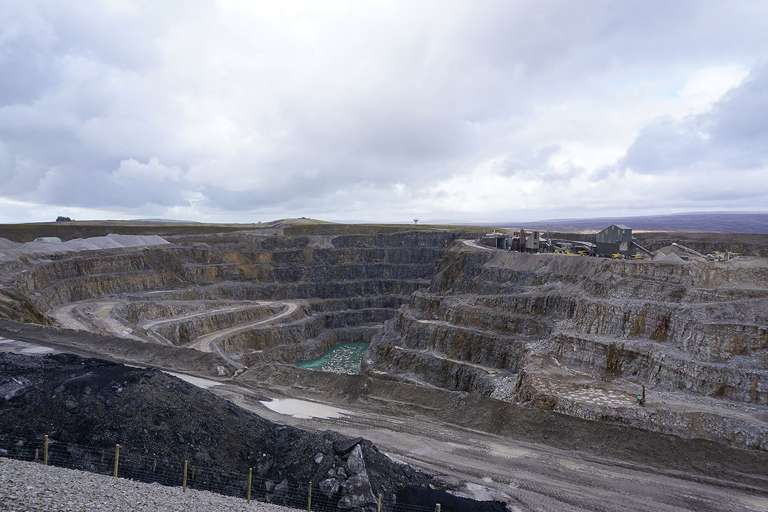
Coldstones Quarry
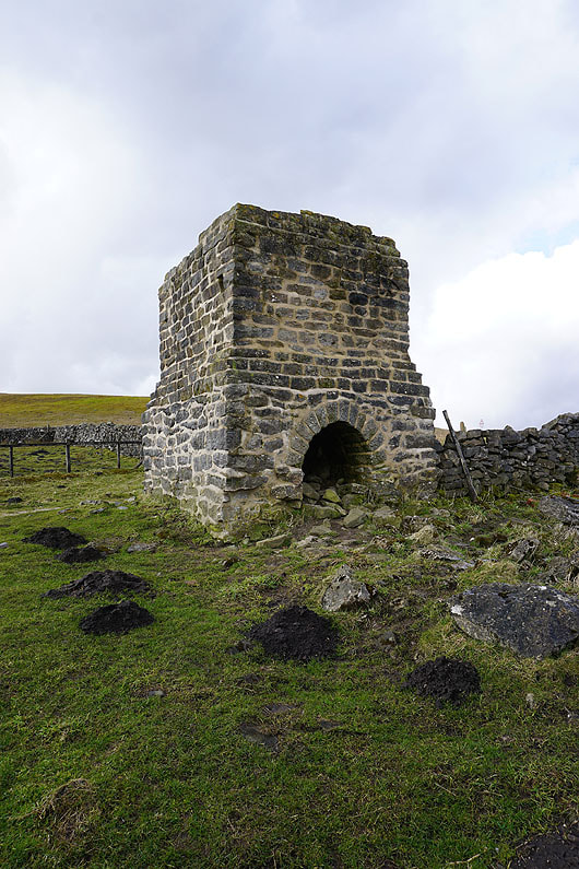
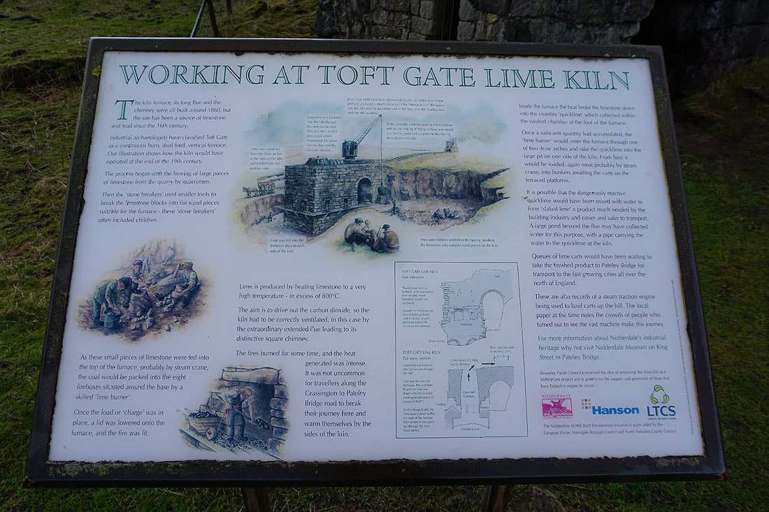
From The Coldstones Cut I've walked the short distance to have a look at the ruins of the Toft Gate Lime Kiln. The chimney at the top of the flue.
Looking southeast to sunshine on Nought Moor and High Crag Ridge
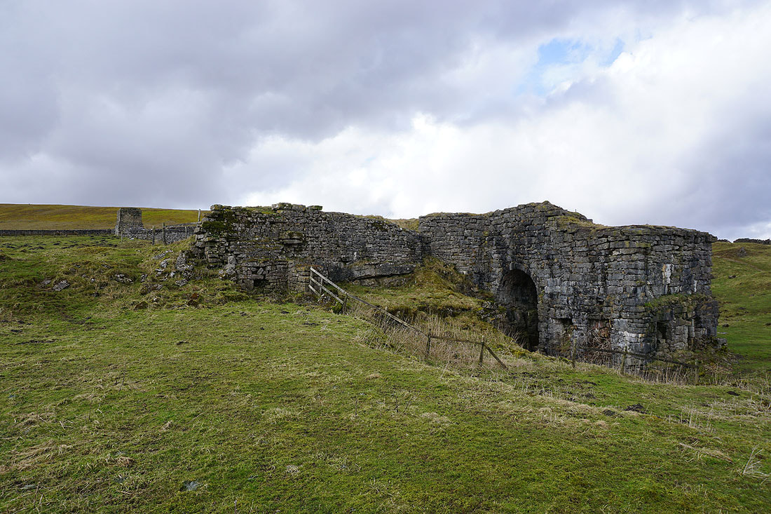
Toft Gate Lime Kiln..
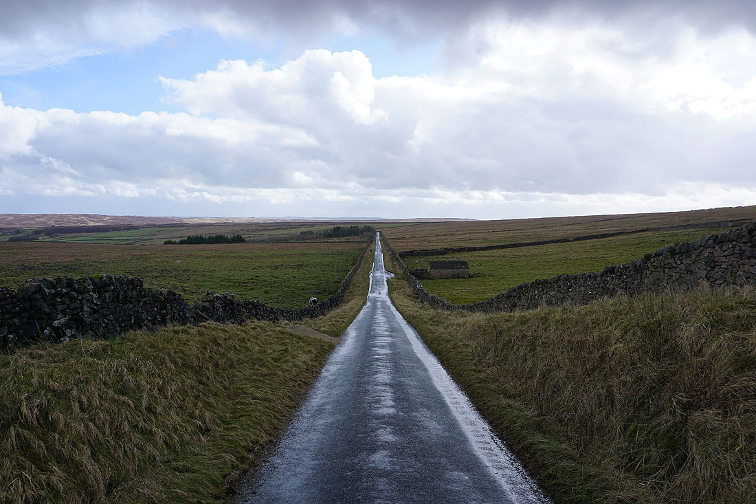
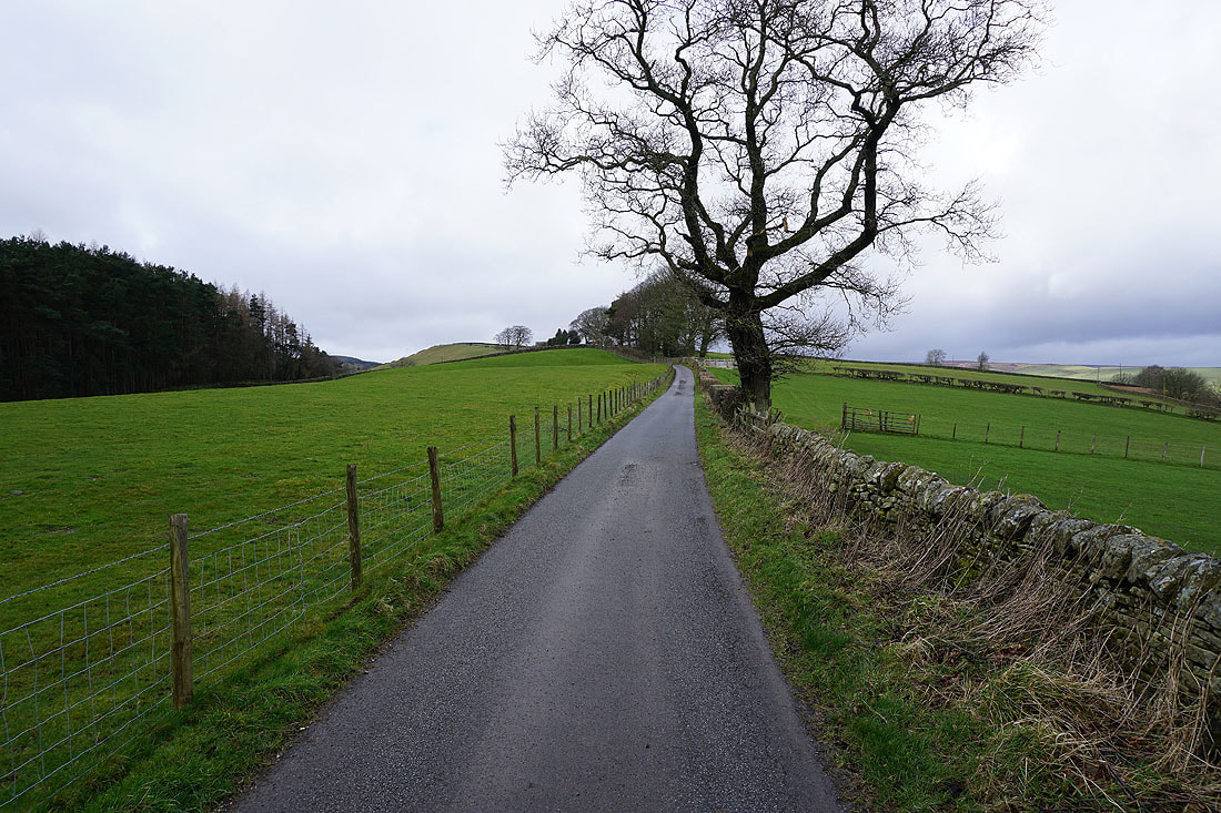
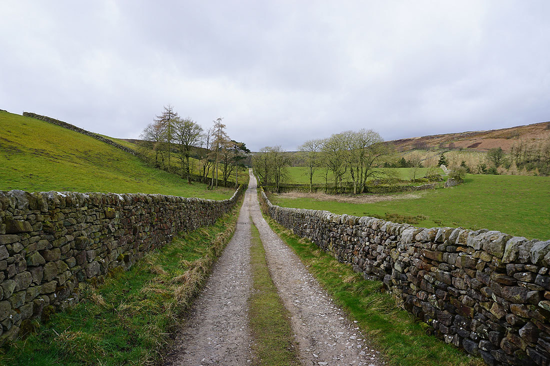
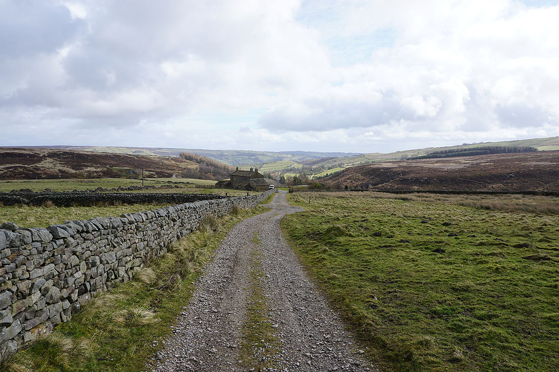
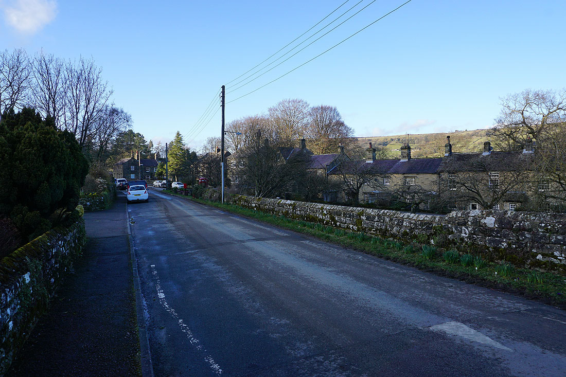
From the Toft Gate Lime Kiln I have a walk down the road to Bewerley..
..to reach a footpath on the left which will take me to Low Moor
Following the path down by Gill Beck and past Moor Houses..
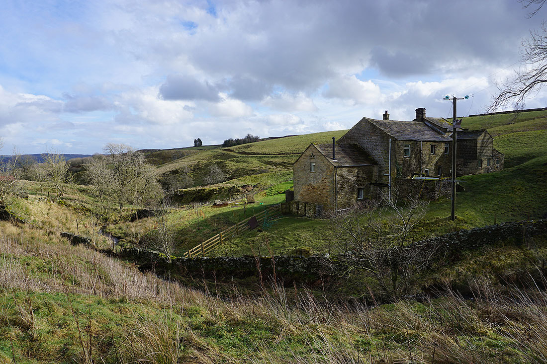
Looking back up to Moor Houses as I reach Gillbeck Farm
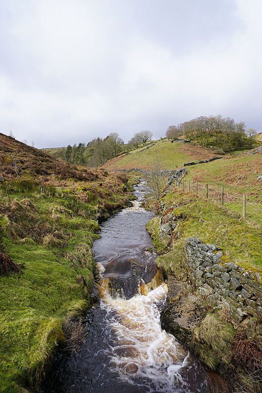
A tumbling beck by the path up to the road below Low Moor
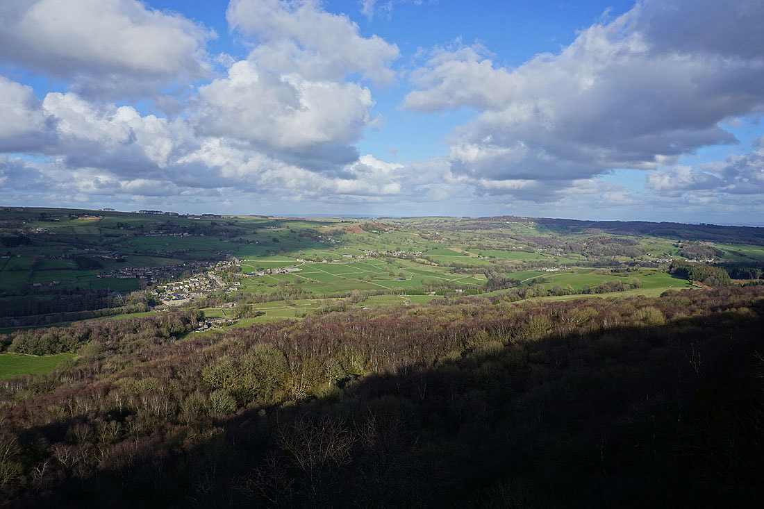
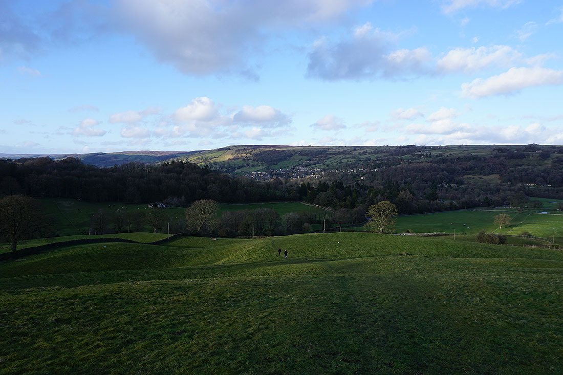
Pateley Bridge below the moorland of High Bishopside from Low Moor
Moor Houses with Bewerley Moor above
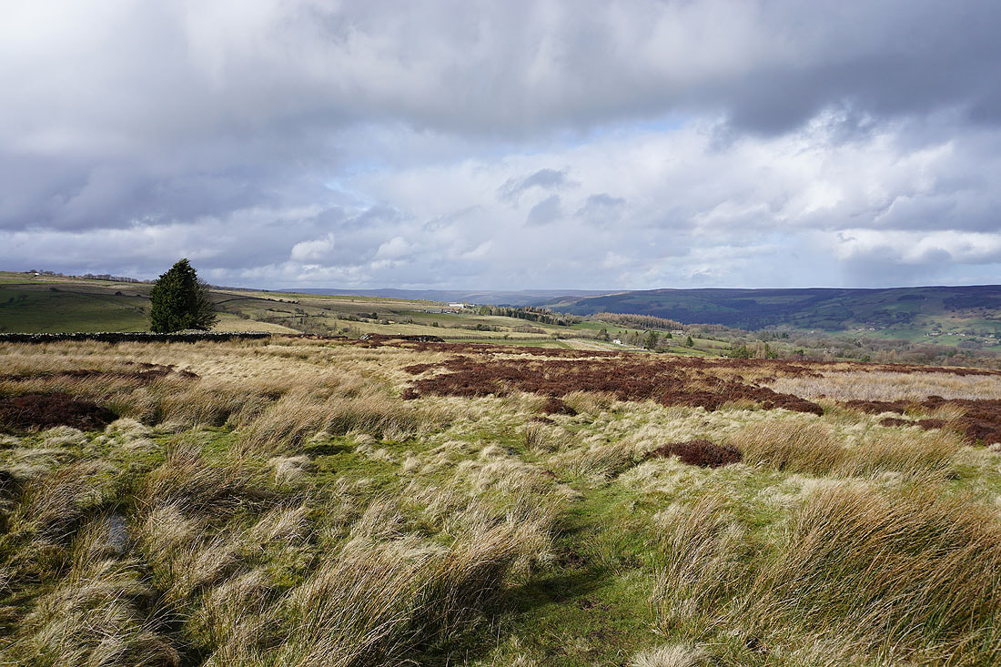
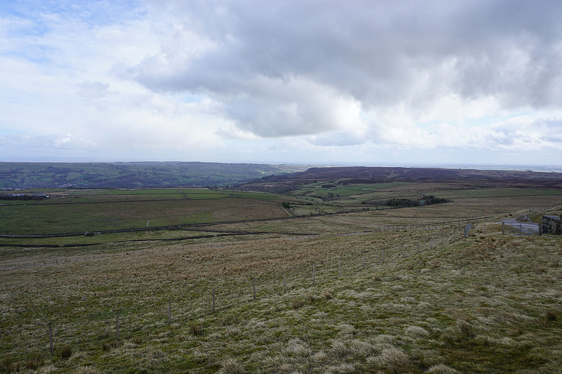
A view across Nidderdale from Low Moor
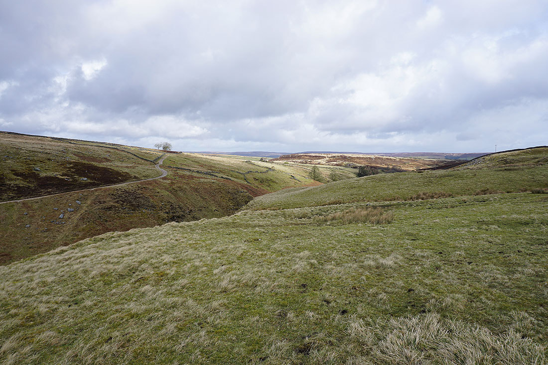
After a brief walk south along the bridleway to Flat Moor, I take a footpath on the left down to Fosse Gill
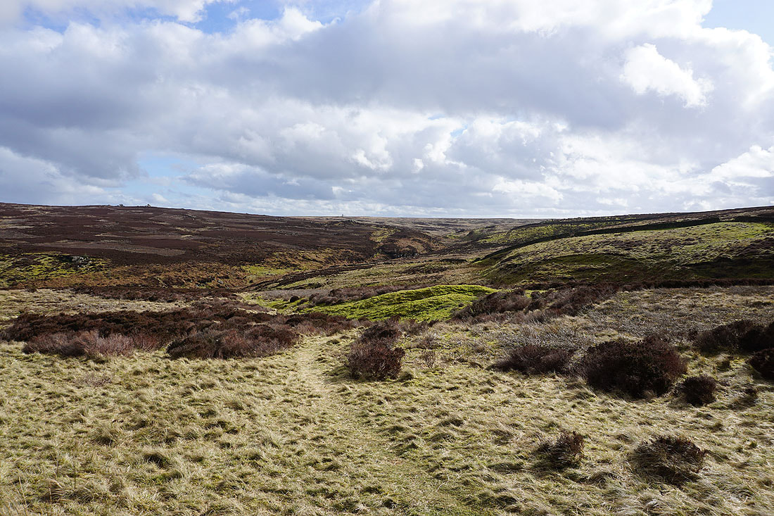
Down to and across Fosse Gill..
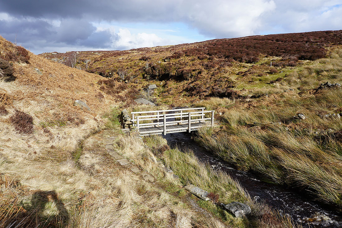
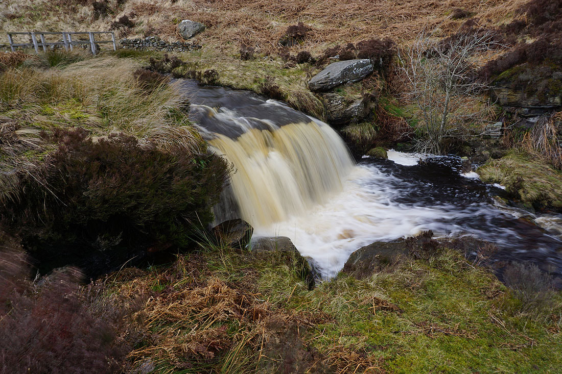
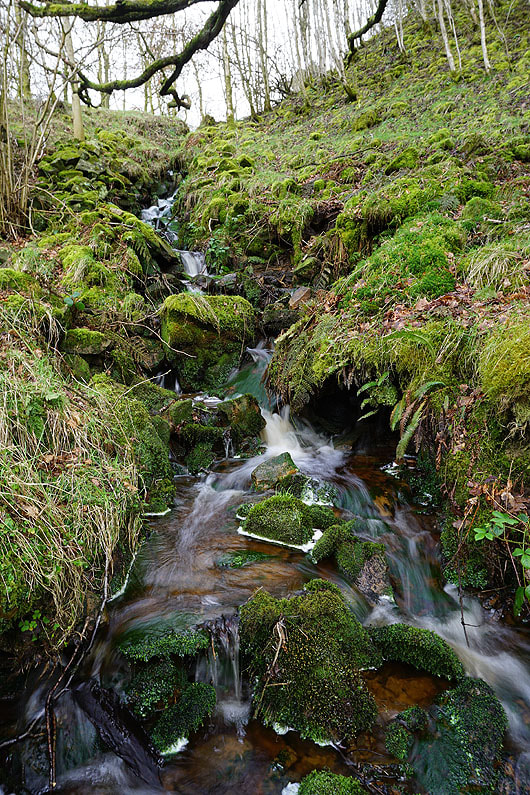
The small waterfall on Fosse Gill below the footbridge was worth stopping to take a photo of
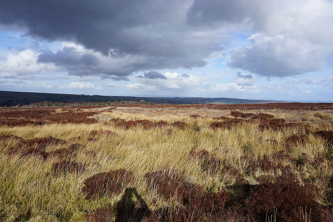
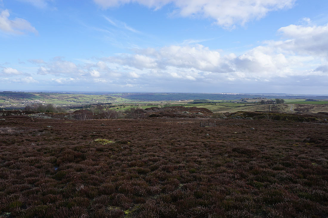
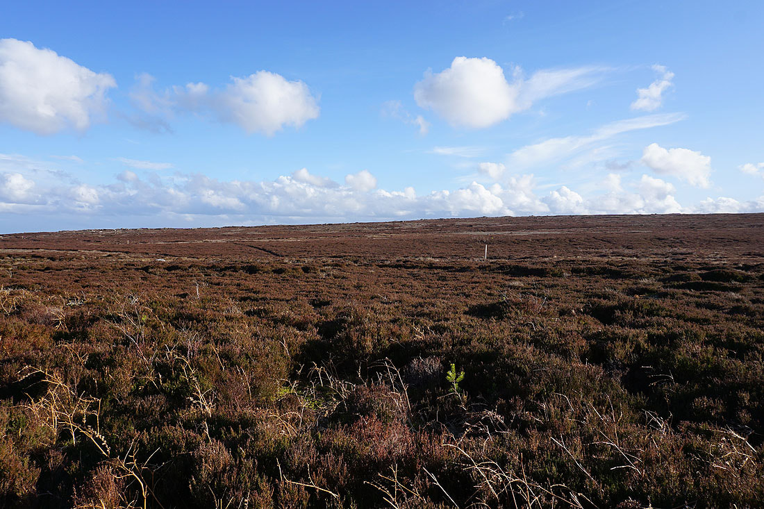
Low Moor and Nought Moor either side of Fosse Gill. Colourful moorland scenery...
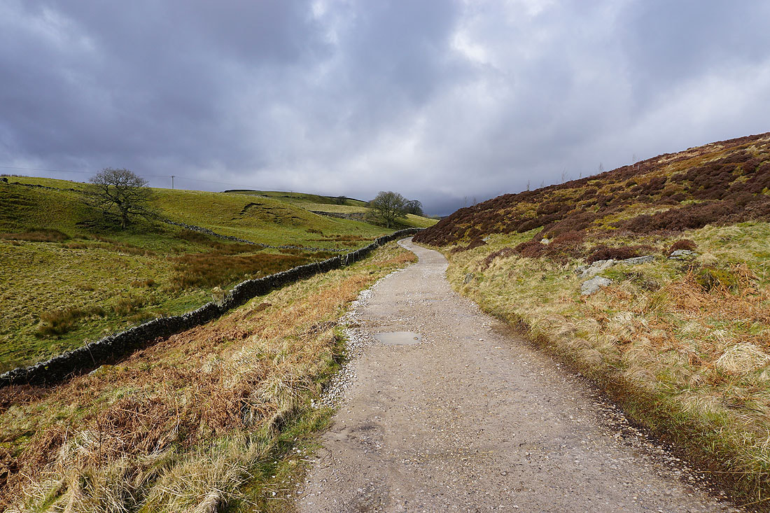
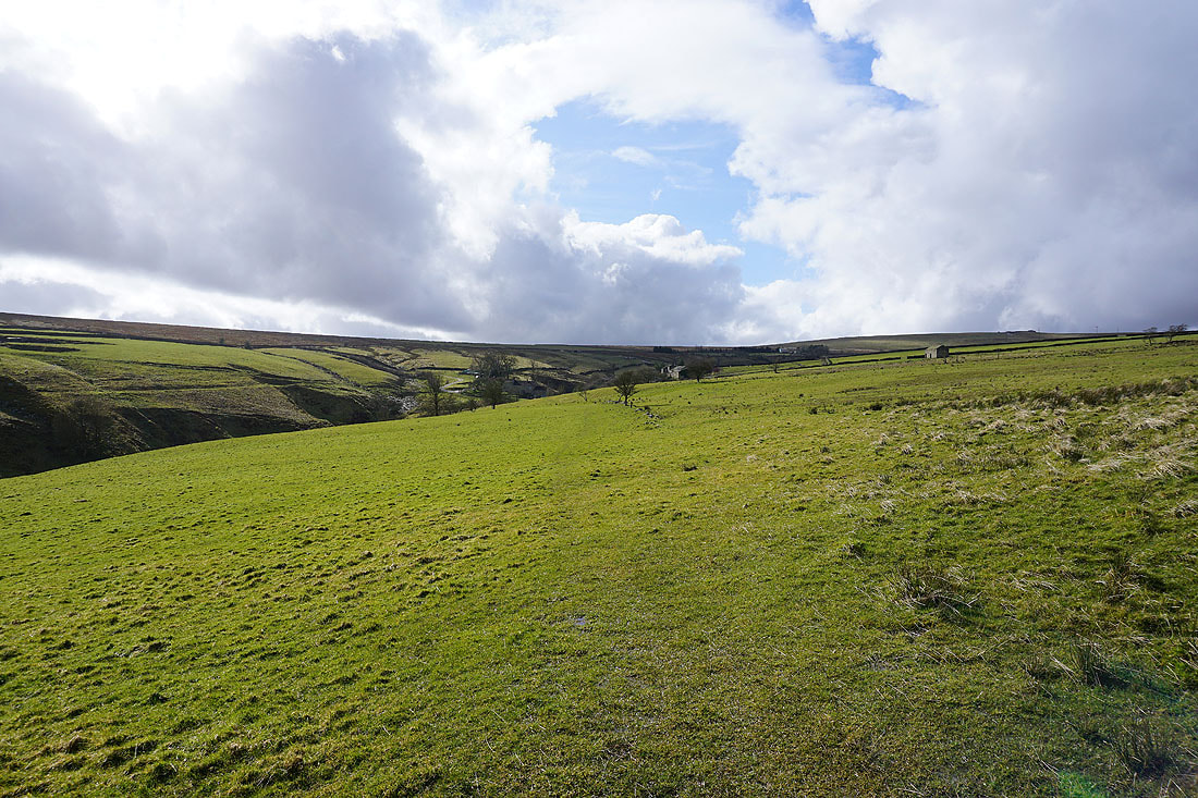
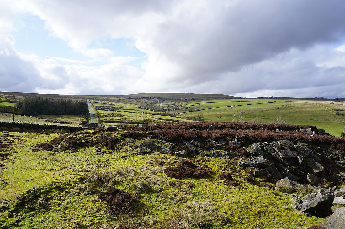
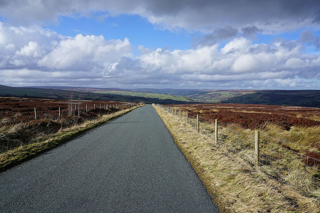
The view up Nidderdale as I walk up Nought Bank Road to the footpath to High Crag Ridge. There's a brief lull in the convoy of tractors that are driving across the moor. I'm guessing that there must have been a tractor rally somewhere. They came in all shapes and sizes, from brand new to older than I am, and it must have took more than 30 minutes for them all to pass through..
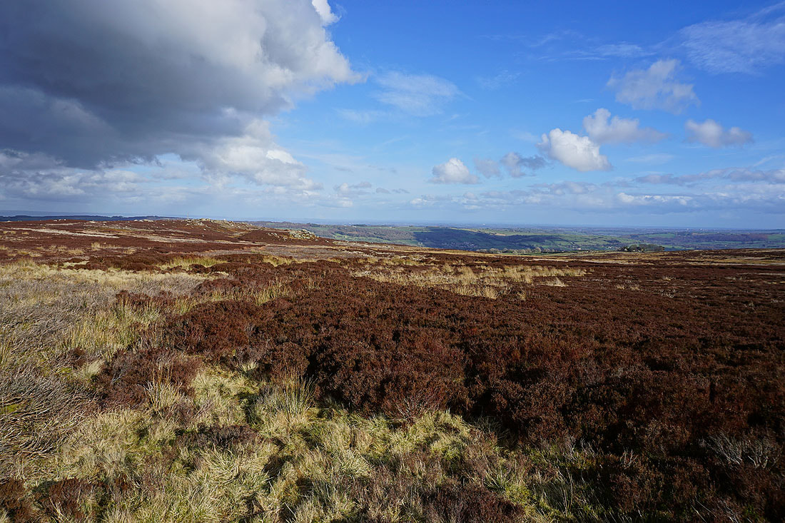
The moorland of High Crag Ridge
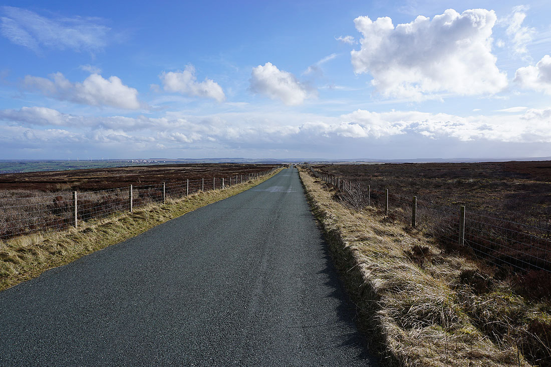
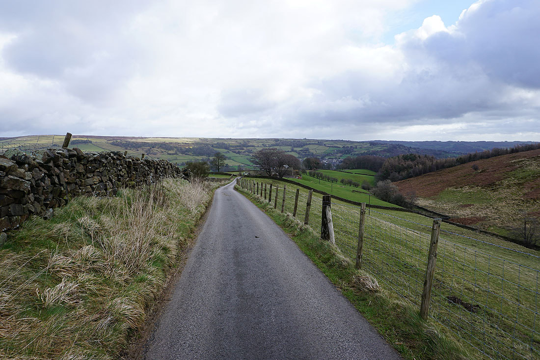
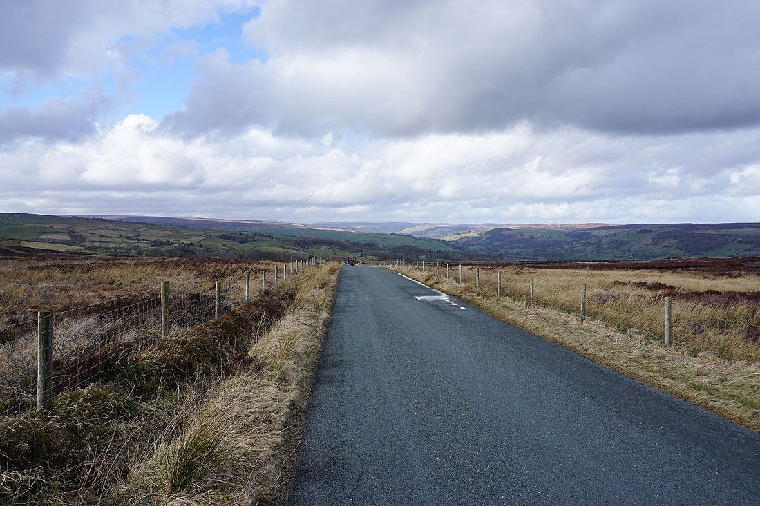
Looking south along the road to Heyshaw Moor. The radomes on Menwith Hill can be made out on the left.
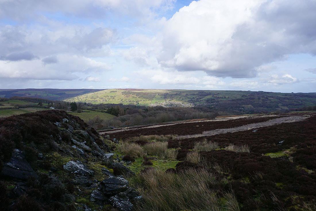
Looking across Nidderdale from High Crag Ridge
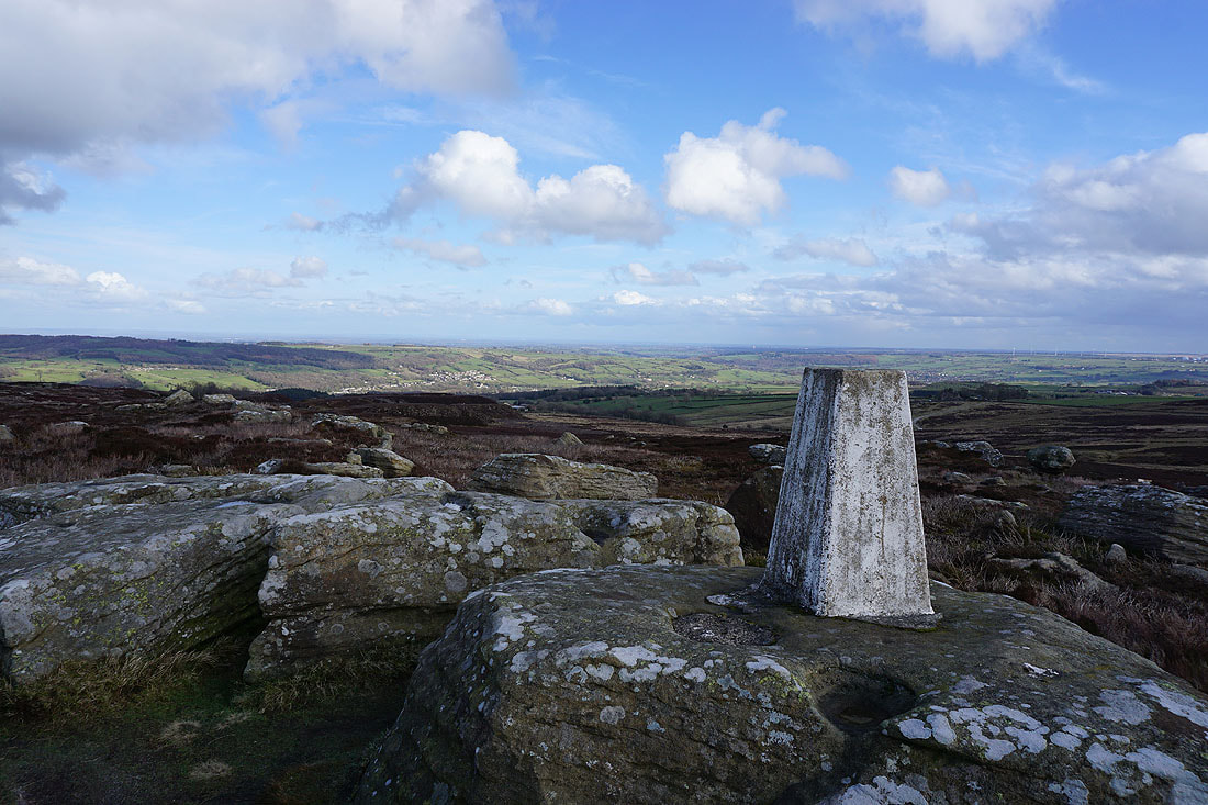
At the trig point on High Crag
Looking down Nidderdale
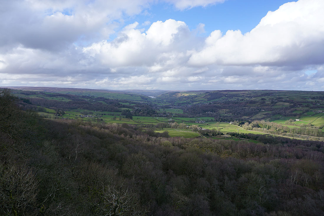
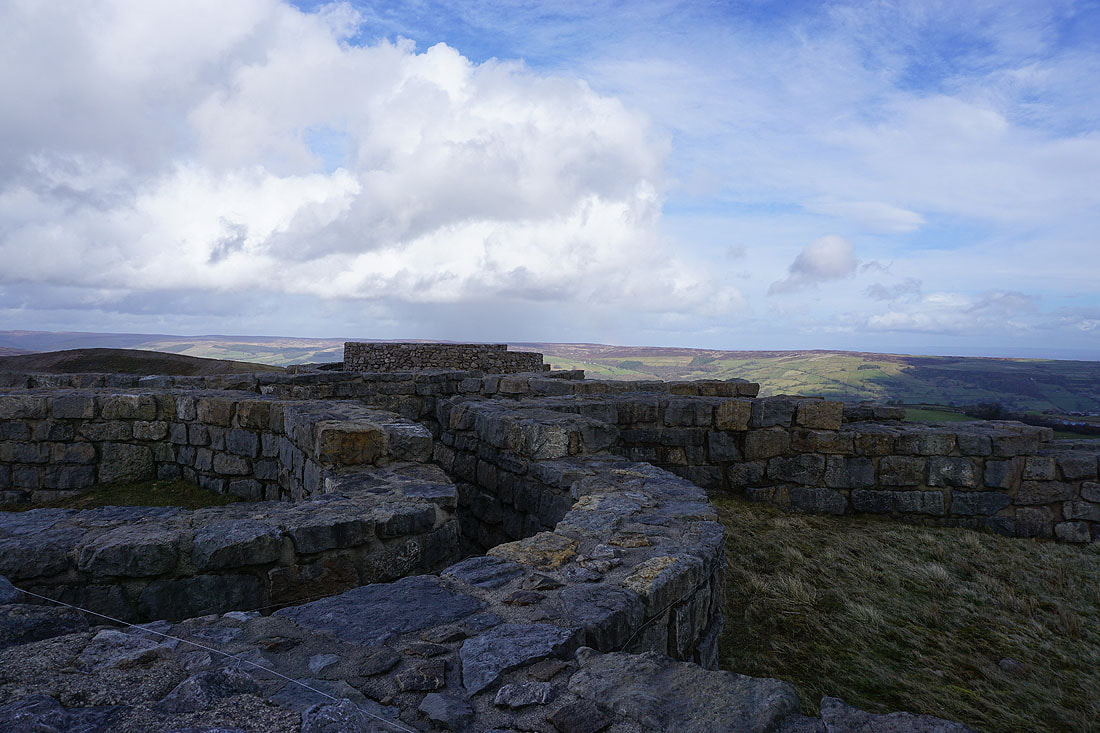
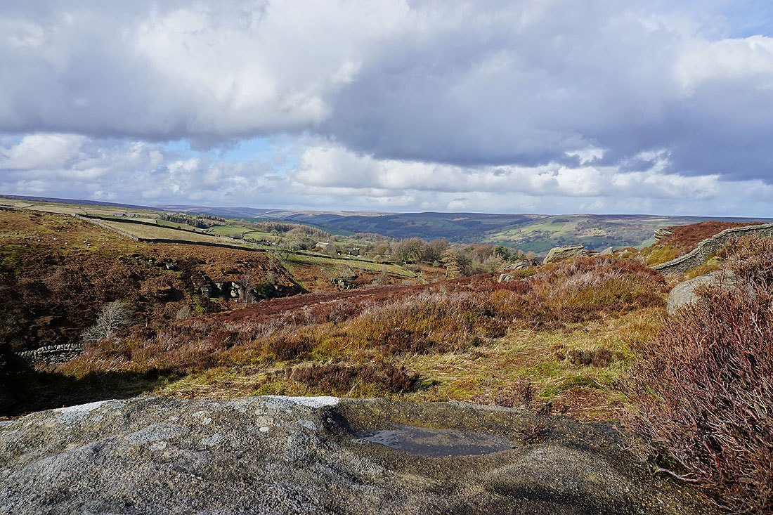
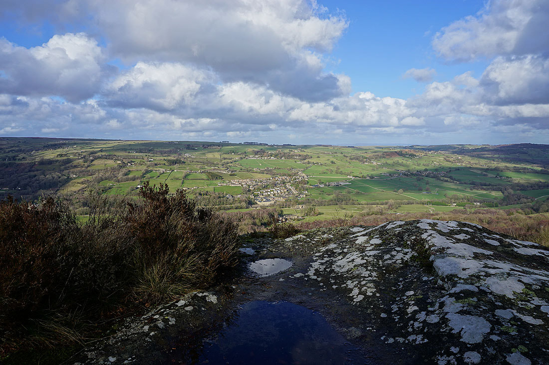
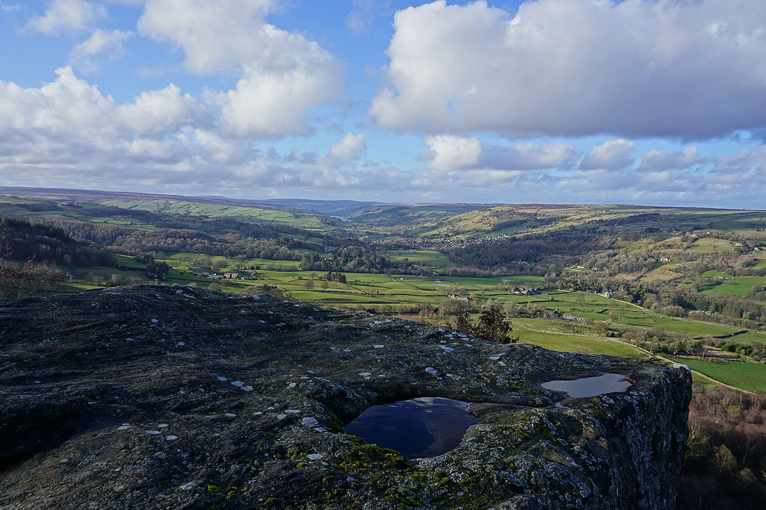
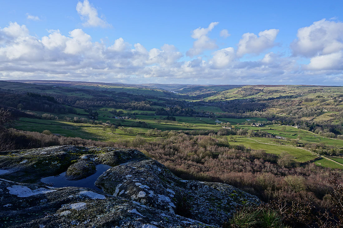
My first view of Nidderdale from the top of Guise Cliff. There's a much better viewpoint than this though, with an unrestricted view to the north.
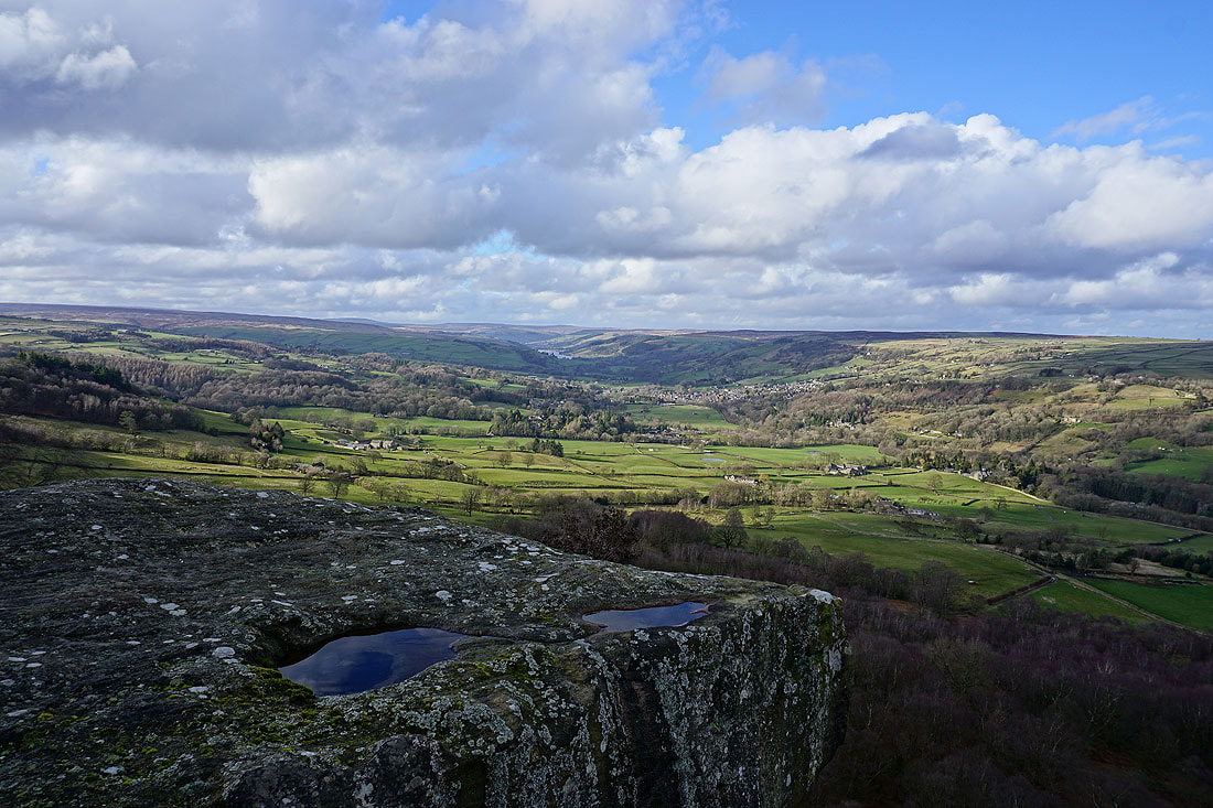
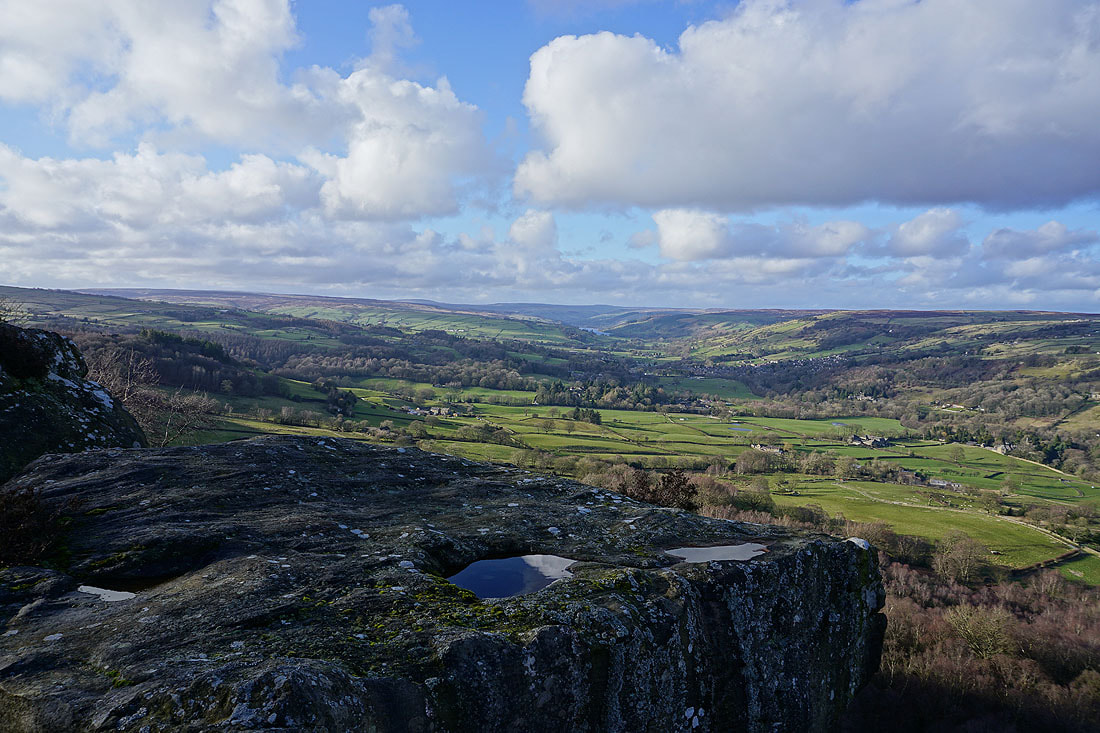
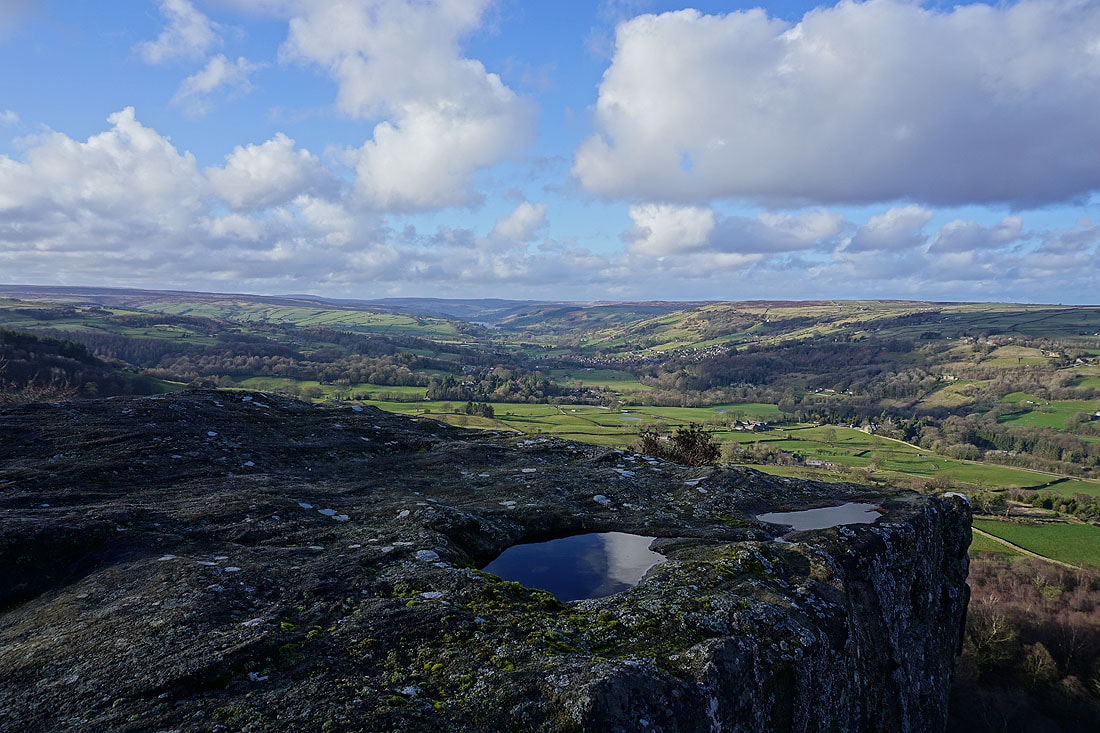
The view up Nidderdale to Gouthwaite Reservoir and Pateley Bridge. Boulders at the top of Guise Cliff can be reached from the path, it's a great place to stop, take a break and enjoy the view. Those boulders also make a good foreground for a photo.
Looking across Nidderdale to Glasshouses and Blazefield
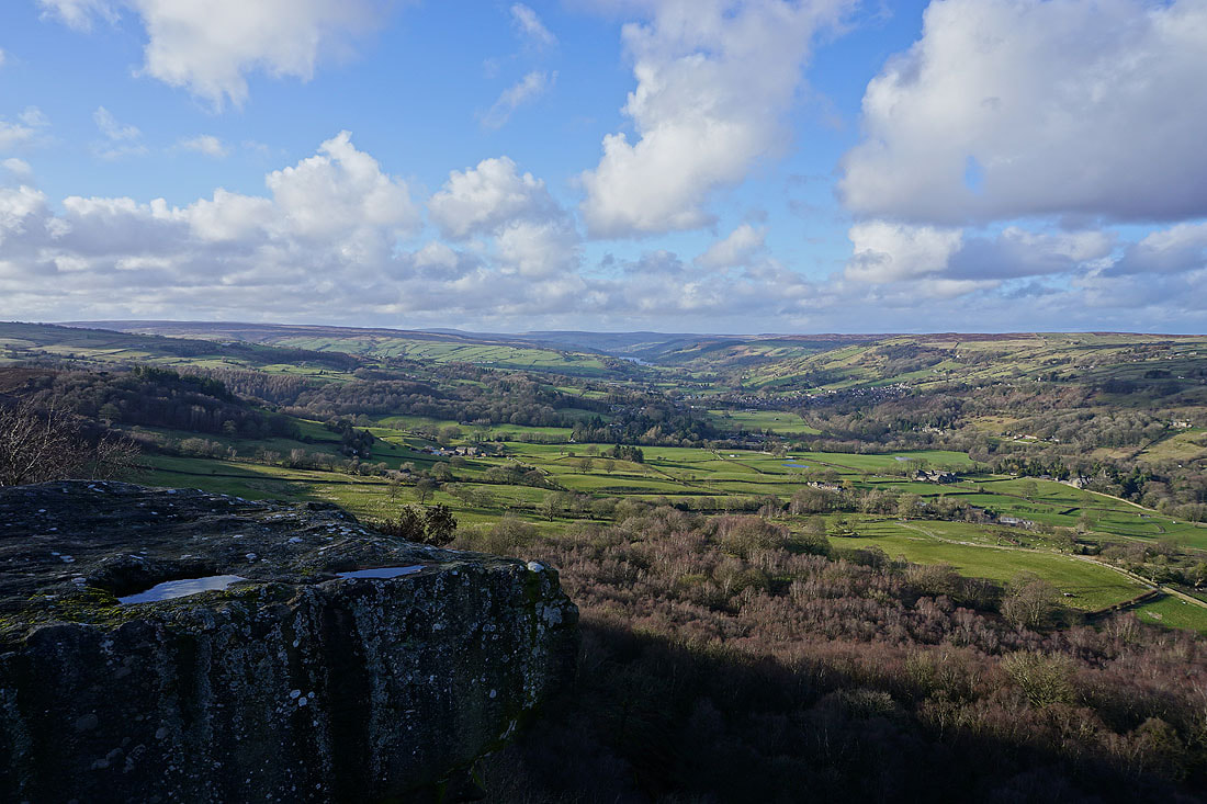
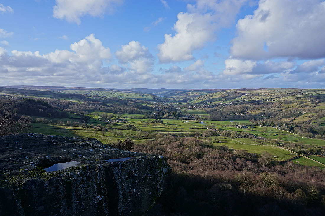
and down the dale to Wilsill and Brimham Moor
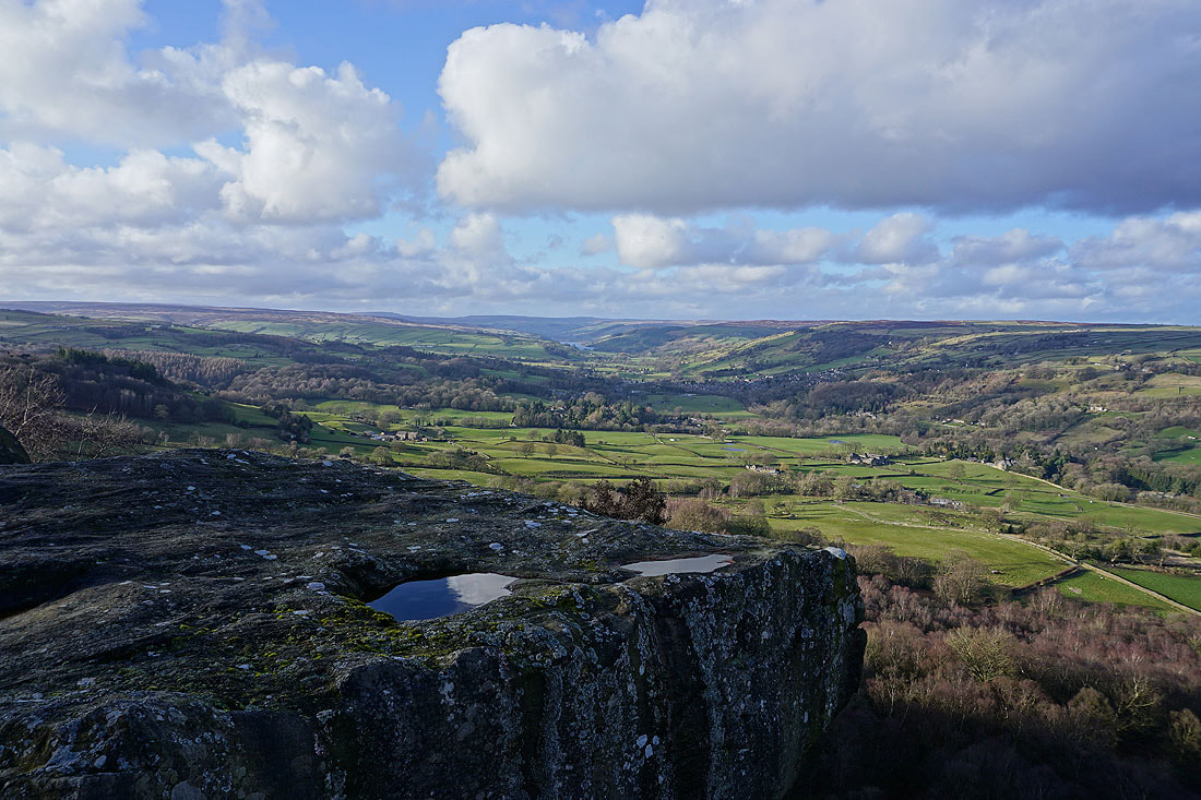
More photos of that view up Nidderdale.......
The moorland of High Crag Ridge. I can just about make out the trig point up there.
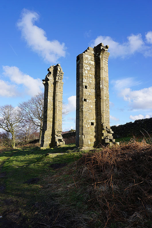
The ruins of Yorke's Folly
Onto Nought Moor
On the Nidderdale Way down to Bewerley...
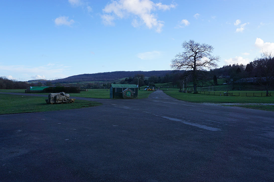
Back at the car park outside the showgrounds in Pateley Bridge with Guise Cliff in the distance