8th May 2011 - Darwen Moor
Walk Details
Distance walked: 5.0 miles
Total ascent: 897 ft
OS map used: 287 - West Pennine Moors
Time taken: 2.5 hrs
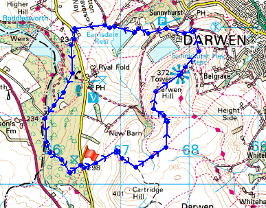
Route description: Slipper Lowe car park, Tockholes Rd-Darwen Moor-Jubilee Tower-Earnsdale Reservoir-Tockholes Plantations-Slipper Lowe car park, Tockholes Rd
A walk in the West Pennine Moors visiting Darwen Moor and Tower.
Route map
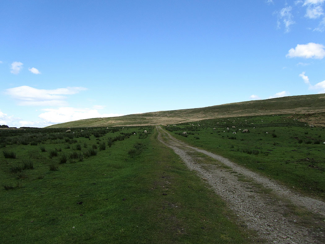
Track onto Darwen Moor
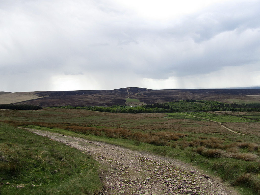
Fire damaged moorland on Great Hill and Withnell Moor
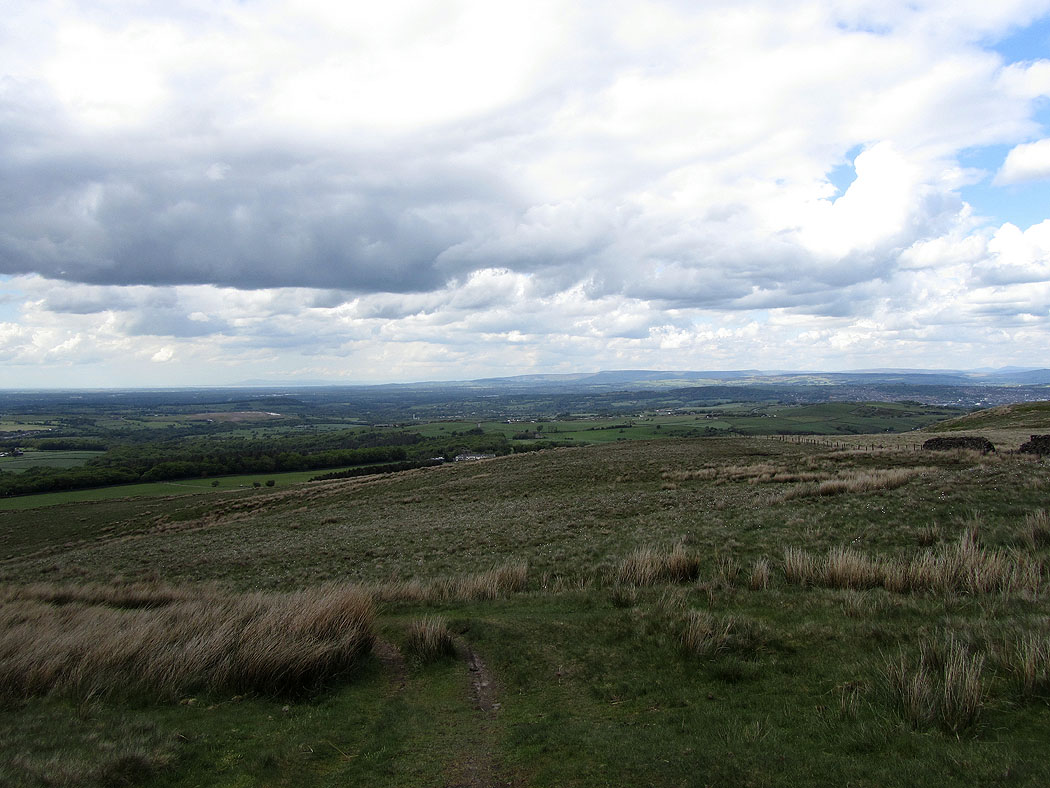
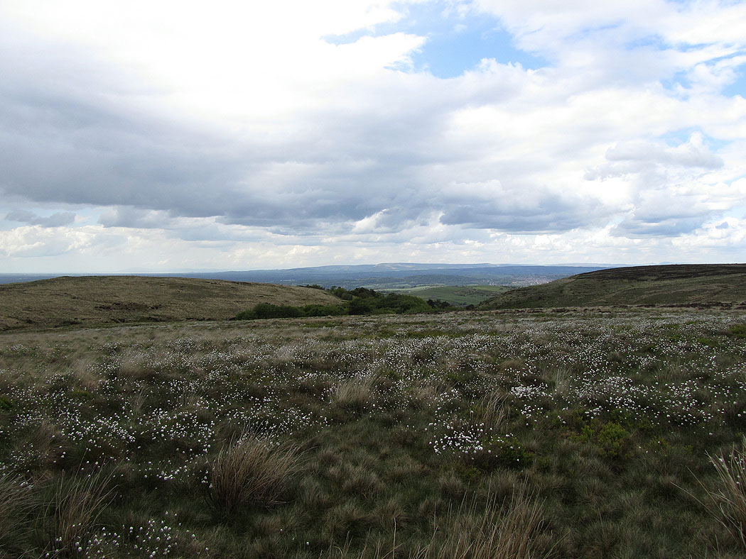
View across to the Forest of Bowland
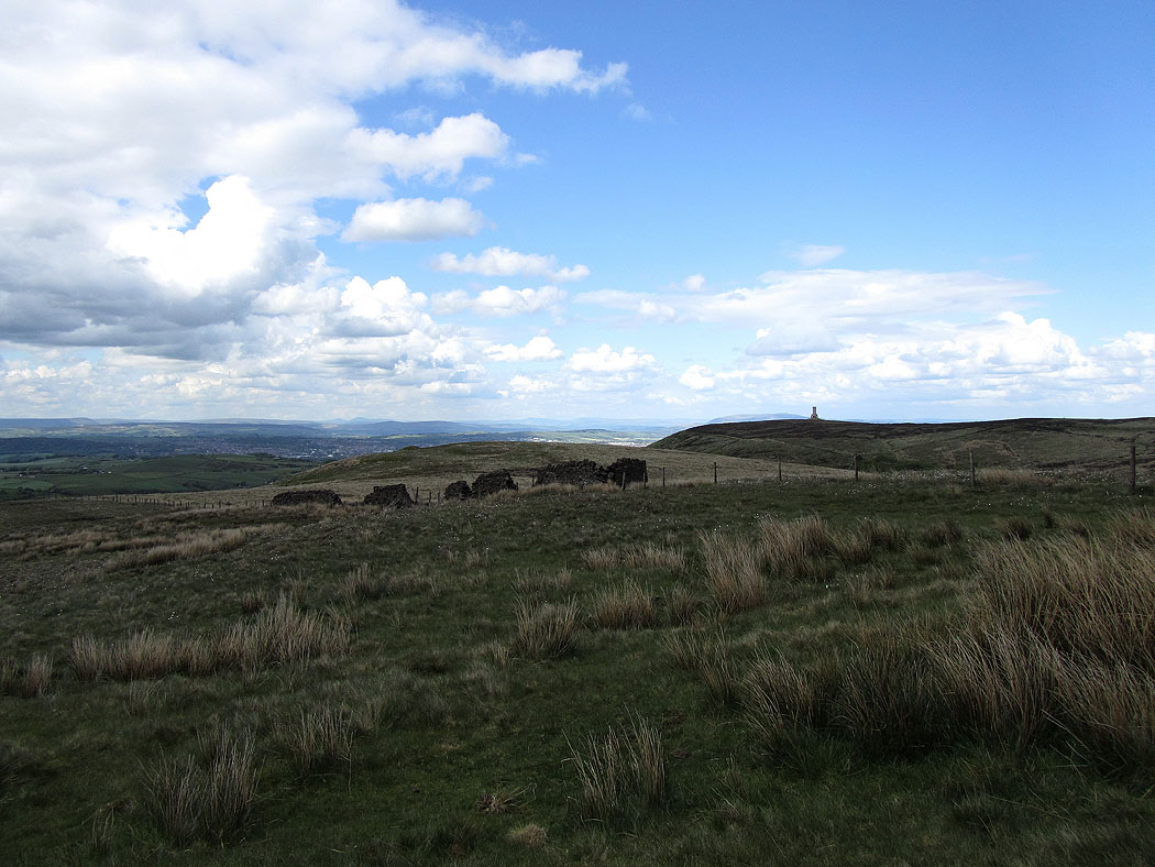
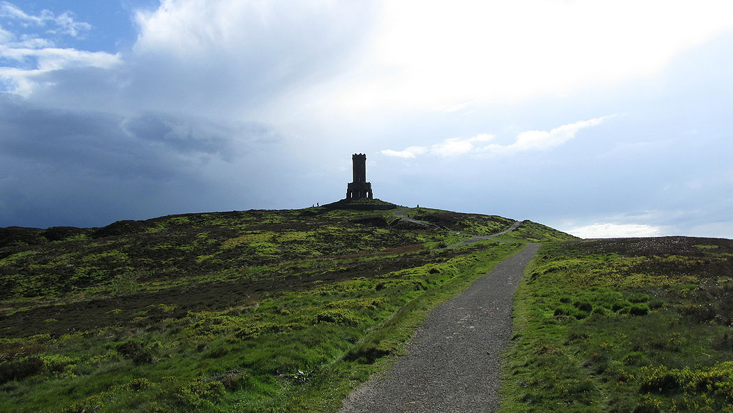
Darwen Tower ahead
Darwen Moor. A heavy shower then passed but I had shelter ahead at the tower.
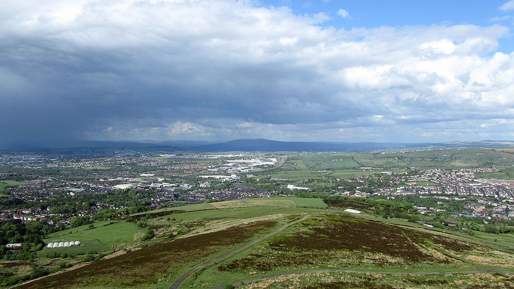
Views from the top of the tower. The West Pennine Moors.
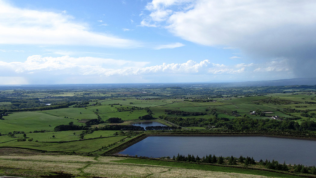
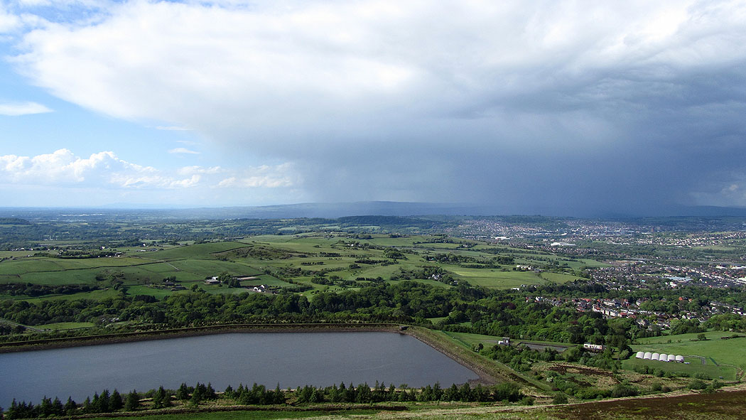
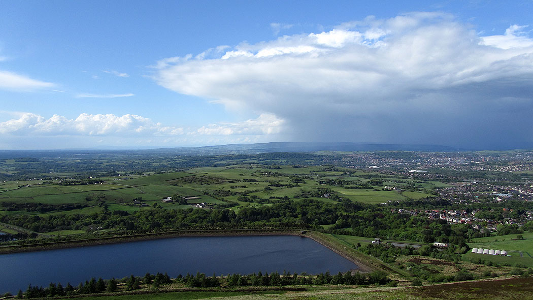
View towards the coast over Sunnyhurst Hey reservoir
Pendle Hill in the distance beyond Blackburn
The Forest of Bowland getting the shower
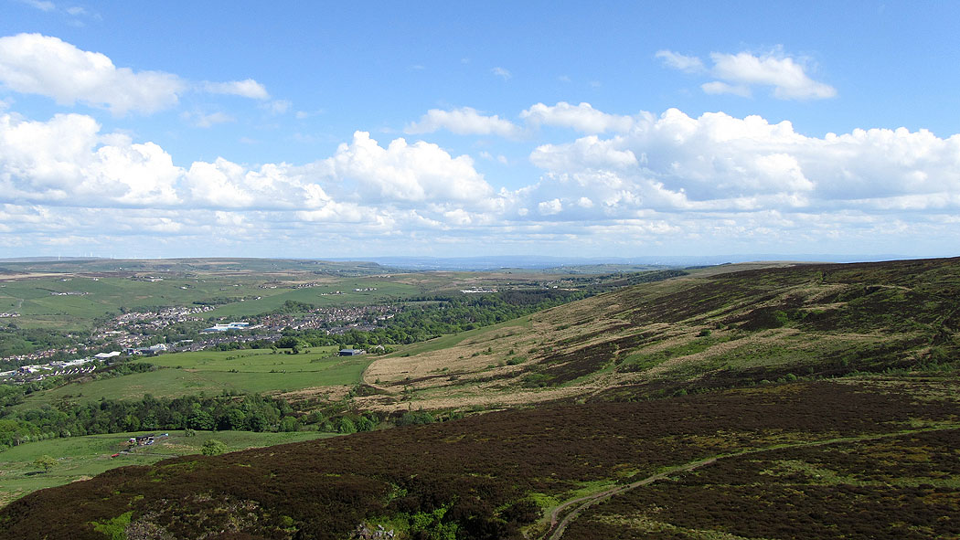
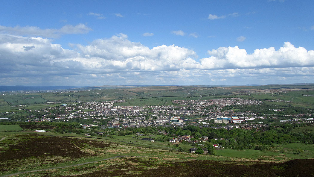
The town of Darwen
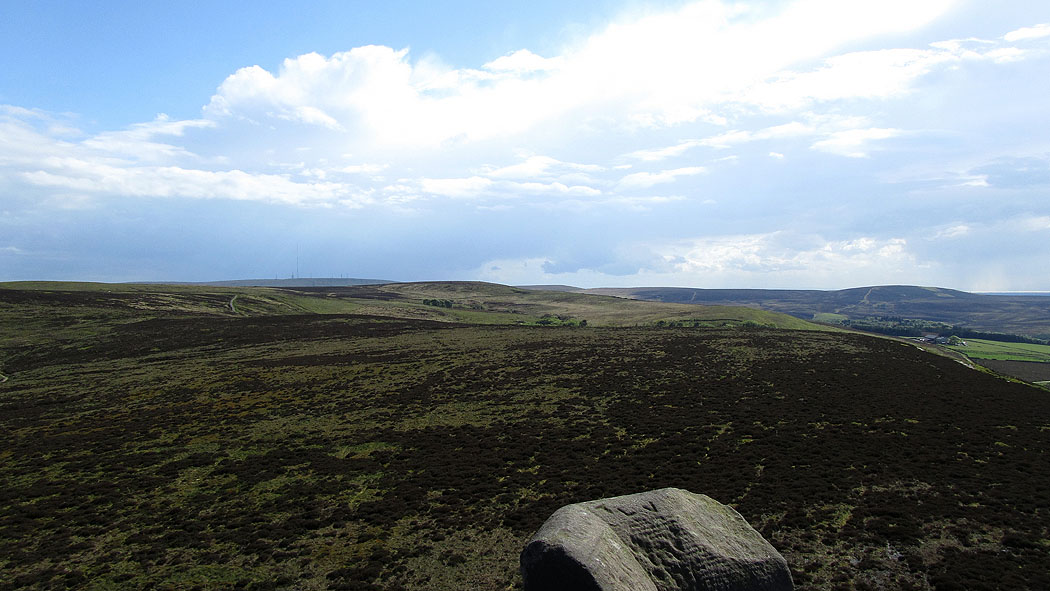
Darwen Moor. The TV mast can be seen on Winter Hill.
The Forest of Bowland appears as the shower clears away
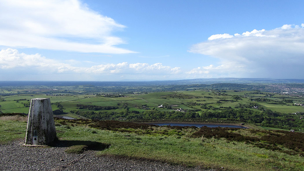
Back on the ground next to the trig point
Leaving Darwen Tower behind
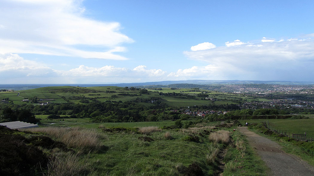
Heading down
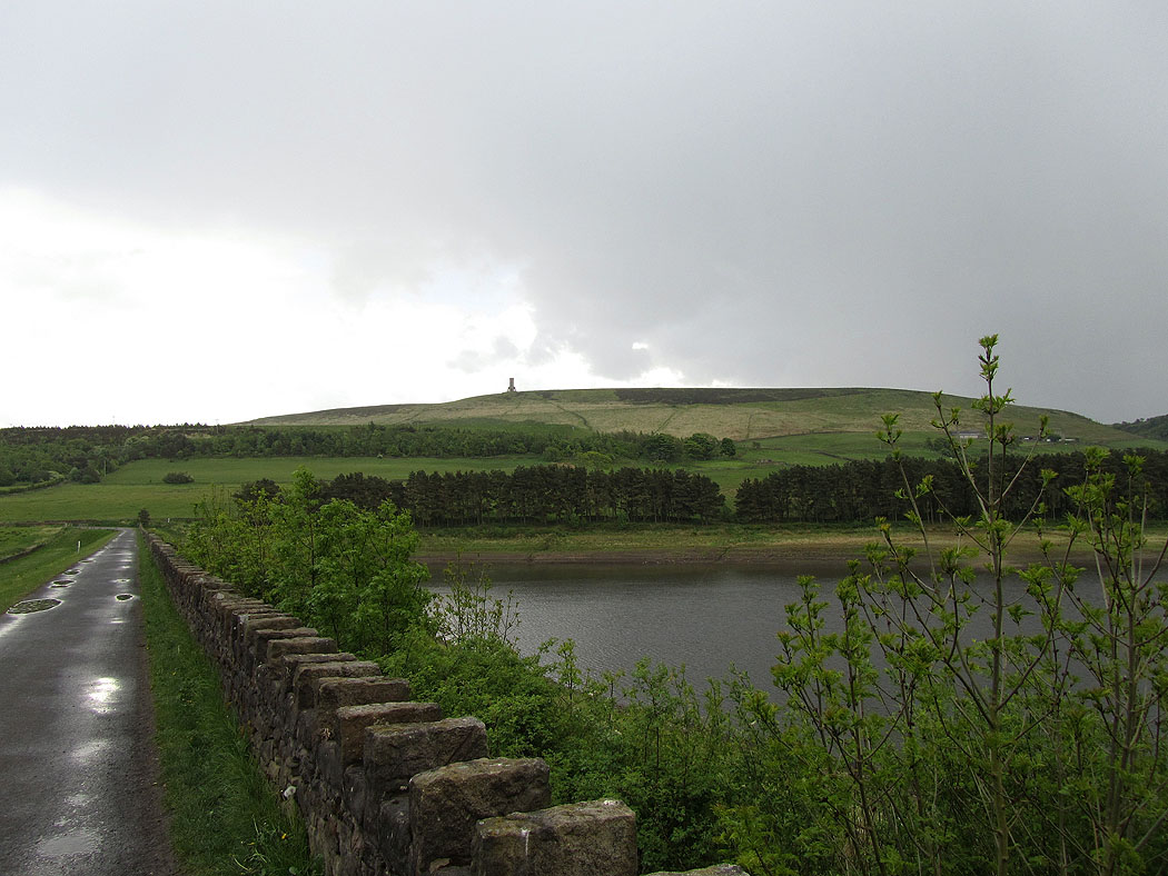
Darwen Moor and tower from the dam of Earnsdale reservoir. At this point there was a thunderstorm approaching but I escaped the worst of it and I was relatively sheltered walking through the woods of the Tockholes plantations.
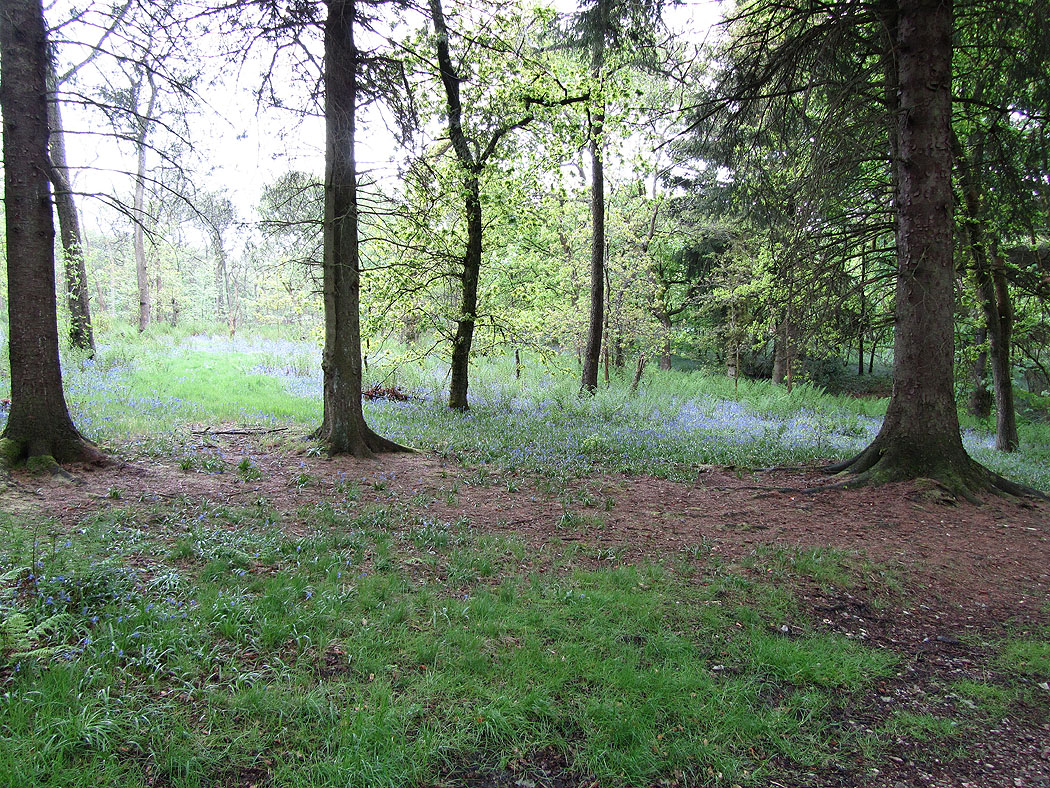
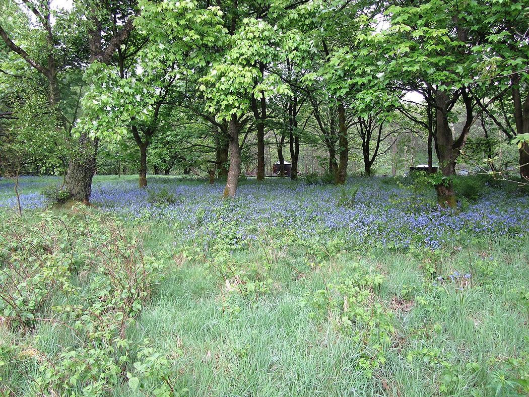
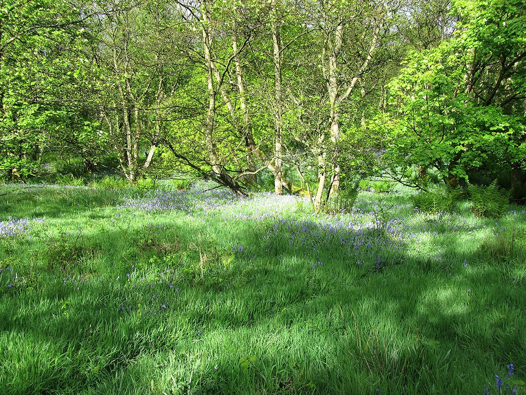
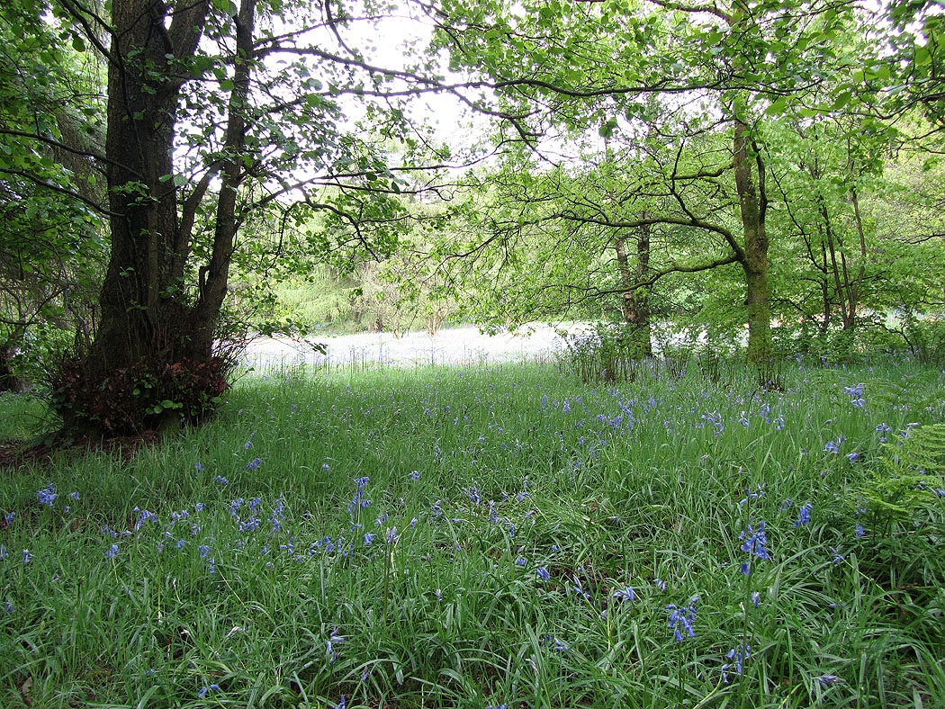
Bluebells as I walk through the woods....
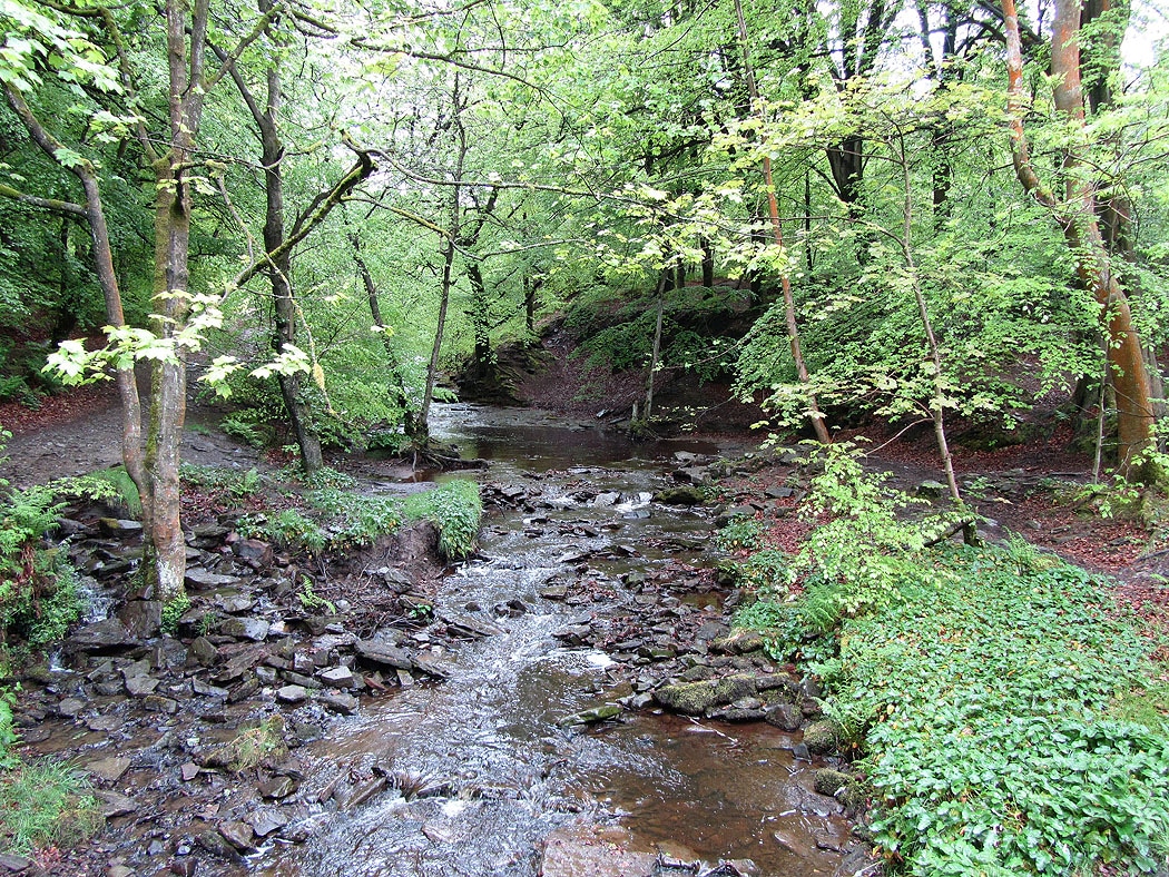
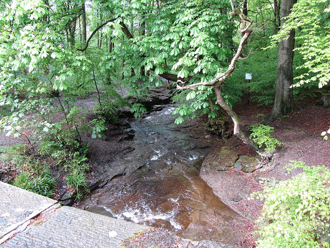
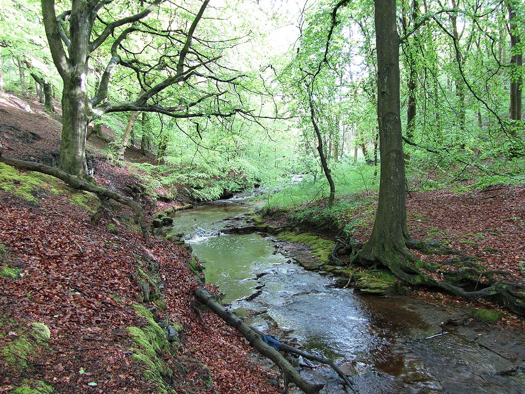
On the way back to the car park. The River Roddlesworth...
