8th May 2022 - Wolfhole Crag and Whins Brow
Walk Details
Distance walked: 12.2 miles
Total ascent: 2712 ft
OS map used: OL41 - Forest of Bowland & Ribblesdale
Time taken: 7 hrs
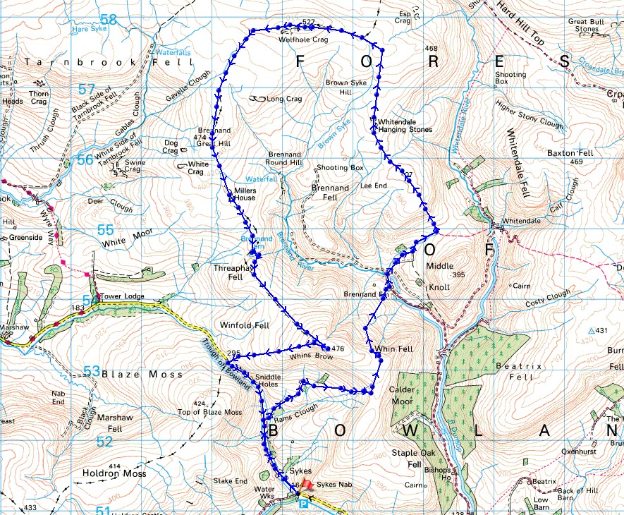
Route description: Parking area at Langden Intake on the Trough of Bowland road-Sykes Farm-Trough Barn-Trough House-Ouster Rake-Brennand Farm-Hunter Hole-Whitendale Hanging Stones-White Crag-Wolfhole Crag-Brennand Great Hill-Millers House-Brennand Tarn-Whins Brow-Trough of Bowland-Trough Barn-Sykes Farm-Parking area at Langden Intake on the Trough of Bowland road
A return to the Forest of Bowland for my second walk of the weekend. Although this route wasn't new, the only previous occasion that I'd done it was eleven years ago, so it might as well have been, and I didn't exactly have the best of weather on that day. I should have picked a day like today, warm spring sunshine with the clouds well above the moors. Although the walls and fences mean that navigation shouldn't be a problem if the clag descends, not having any view just turns the walk into a dull and featureless trudge. It also helps if it hasn't rained too much recently, as the fells of Bowland can be pretty wet underfoot at the best of times, and carrying trekking poles is to be recommended. I found the worst sections to be from Hunter Hole up to Wolfhole Crag, and then from Wolfhole Crag south to Brennand Great Hill. I've done a lot of walking across this sort of terrain in the past eleven years, I'm much more comfortable with doing so, and can appreciate the solitude and wide open spaces that it offers.
After parking at Langden Intake on the road from Dunsop Bridge to the Trough of Bowland I walked north along the road past Sykes Farm to Trough Barn. I left the road here and took the bridleway across to Brennand Farm in Brennandale, then the bridleway from Brennand Farm over to Whitendale. When the bridleway reached its summit on passing through a wall beneath Middle Knoll I climbed up access land on the hillside of Hunter Hole to reach the moorland above. I then followed the wall north on its eastern side to Whitendale Hanging Stones, and to White Crag to finally arrive at Wolfhole Crag, the high point of the walk, where I stopped for lunch. Break had I followed the wall west from Wolfhole Crag to a fence junction where I took the path south signposted for Millers House, and made my way south by the fence or wall on its western side to Brennand Great Hill, Millers House and then Brennand Tarn. Once I'd made my way round Brennand Tarn I climbed the hillside opposite on the eastern side of the wall to reach the trig point on Whins Brow. After taking in the view I followed the fence west from Whins Brow down to the top of the road across the Trough of Bowland. I then walked down the road from the Trough of Bowland back to Langden Intake.
Total ascent: 2712 ft
OS map used: OL41 - Forest of Bowland & Ribblesdale
Time taken: 7 hrs
Route description: Parking area at Langden Intake on the Trough of Bowland road-Sykes Farm-Trough Barn-Trough House-Ouster Rake-Brennand Farm-Hunter Hole-Whitendale Hanging Stones-White Crag-Wolfhole Crag-Brennand Great Hill-Millers House-Brennand Tarn-Whins Brow-Trough of Bowland-Trough Barn-Sykes Farm-Parking area at Langden Intake on the Trough of Bowland road
A return to the Forest of Bowland for my second walk of the weekend. Although this route wasn't new, the only previous occasion that I'd done it was eleven years ago, so it might as well have been, and I didn't exactly have the best of weather on that day. I should have picked a day like today, warm spring sunshine with the clouds well above the moors. Although the walls and fences mean that navigation shouldn't be a problem if the clag descends, not having any view just turns the walk into a dull and featureless trudge. It also helps if it hasn't rained too much recently, as the fells of Bowland can be pretty wet underfoot at the best of times, and carrying trekking poles is to be recommended. I found the worst sections to be from Hunter Hole up to Wolfhole Crag, and then from Wolfhole Crag south to Brennand Great Hill. I've done a lot of walking across this sort of terrain in the past eleven years, I'm much more comfortable with doing so, and can appreciate the solitude and wide open spaces that it offers.
After parking at Langden Intake on the road from Dunsop Bridge to the Trough of Bowland I walked north along the road past Sykes Farm to Trough Barn. I left the road here and took the bridleway across to Brennand Farm in Brennandale, then the bridleway from Brennand Farm over to Whitendale. When the bridleway reached its summit on passing through a wall beneath Middle Knoll I climbed up access land on the hillside of Hunter Hole to reach the moorland above. I then followed the wall north on its eastern side to Whitendale Hanging Stones, and to White Crag to finally arrive at Wolfhole Crag, the high point of the walk, where I stopped for lunch. Break had I followed the wall west from Wolfhole Crag to a fence junction where I took the path south signposted for Millers House, and made my way south by the fence or wall on its western side to Brennand Great Hill, Millers House and then Brennand Tarn. Once I'd made my way round Brennand Tarn I climbed the hillside opposite on the eastern side of the wall to reach the trig point on Whins Brow. After taking in the view I followed the fence west from Whins Brow down to the top of the road across the Trough of Bowland. I then walked down the road from the Trough of Bowland back to Langden Intake.
Route map
© Crown copyright. All rights reserved. License number PU 100034184.
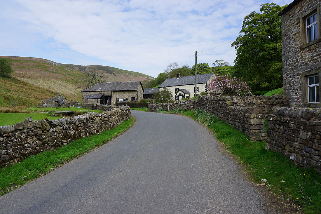
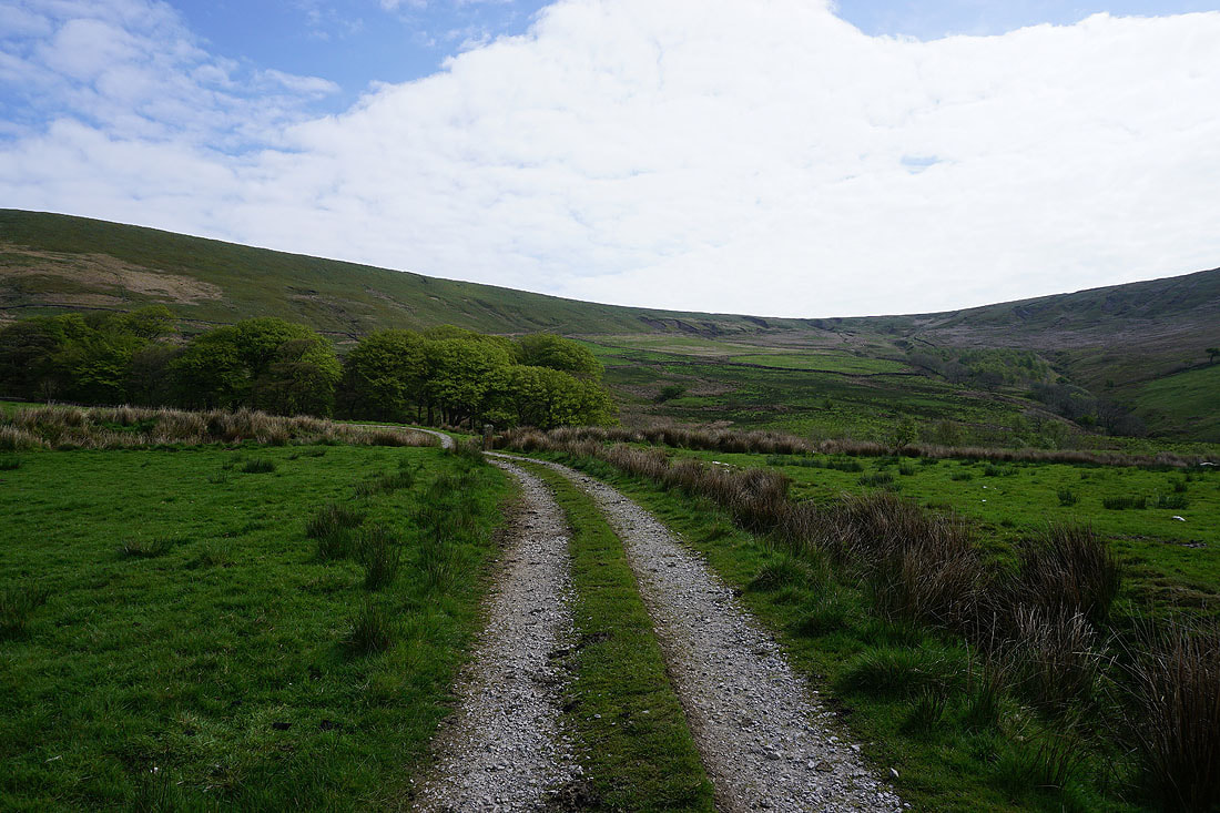
After parking at Langden Intake I walk up the Trough road past Sykes Farm to Trough Barn, where I'll take the bridleway across to Brennandale..
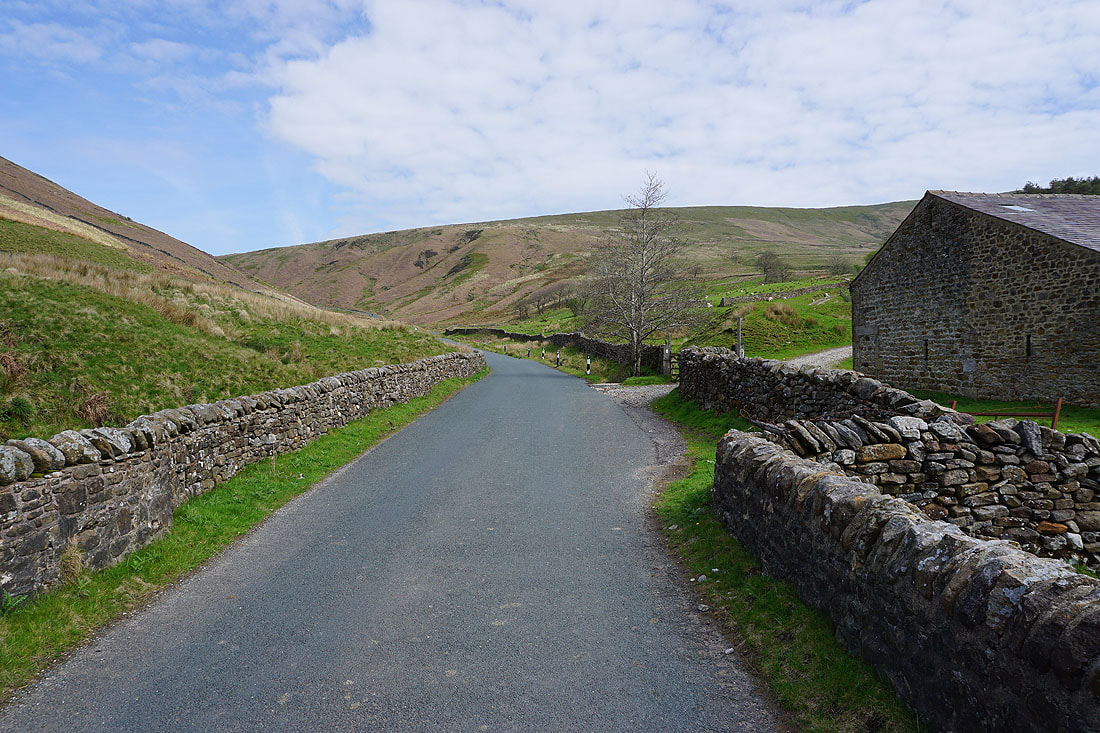
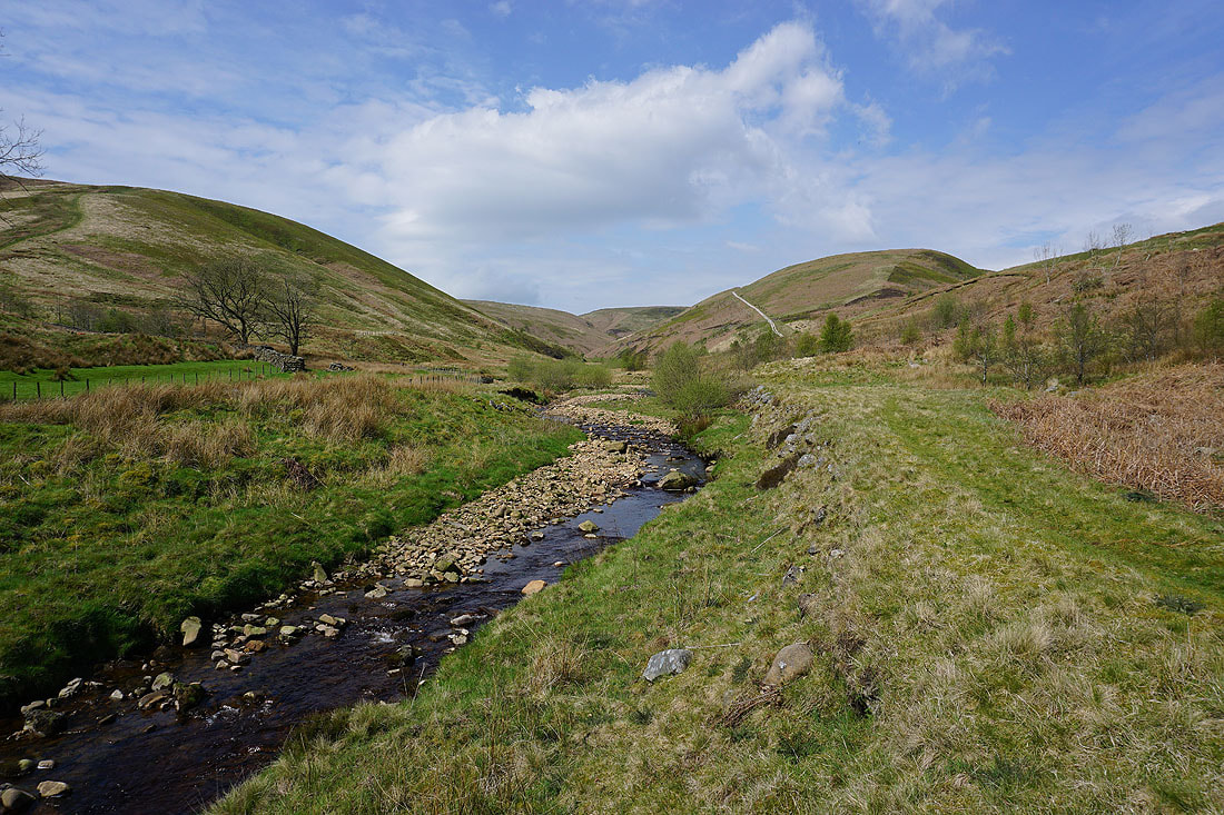
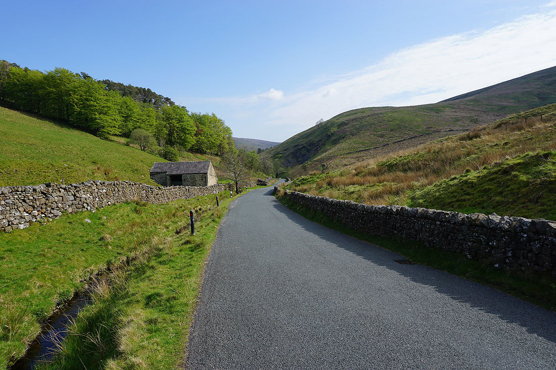
The road up the Trough of Bowland
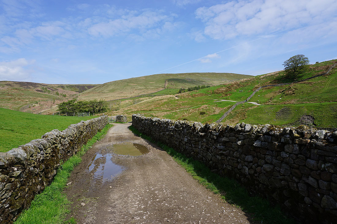
On the bridleway across to Brennandale
Looking back to Top of Blaze Moss on the other side of Losterdale
and from a bit higher up, Fair Snape Fell in the distance on the left, and the moorland around Langden Brook
Brennandale comes into view as the bridleway crosses the shoulder of Whins Brow
Heading down to Brennand Farm
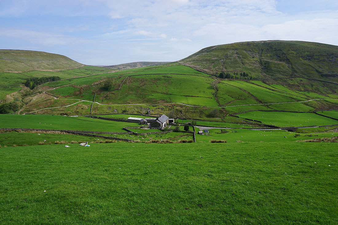
Making my way through Brennand Farm. I'm taking the bridleway to Whitendale..
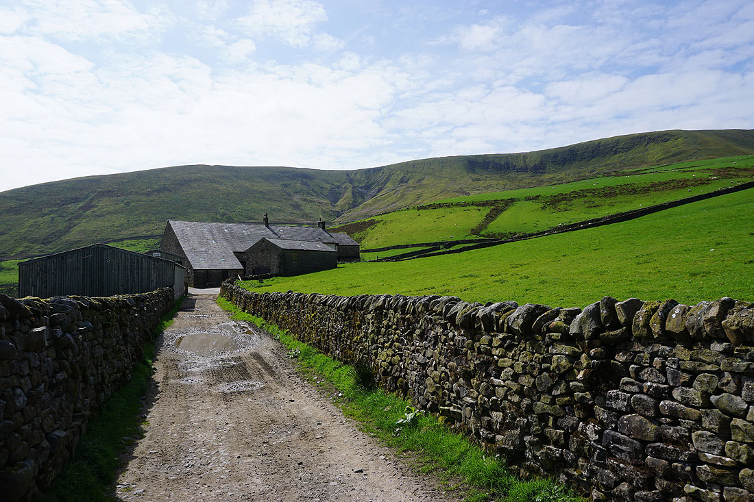
Brennand Farm set beneath the steep northern slopes of Whins Brow
The upper reaches of the Brennand River
Looking back across Brennandale to Whins Brow and Threaphaw Fell. I'll be up there later this afternoon.
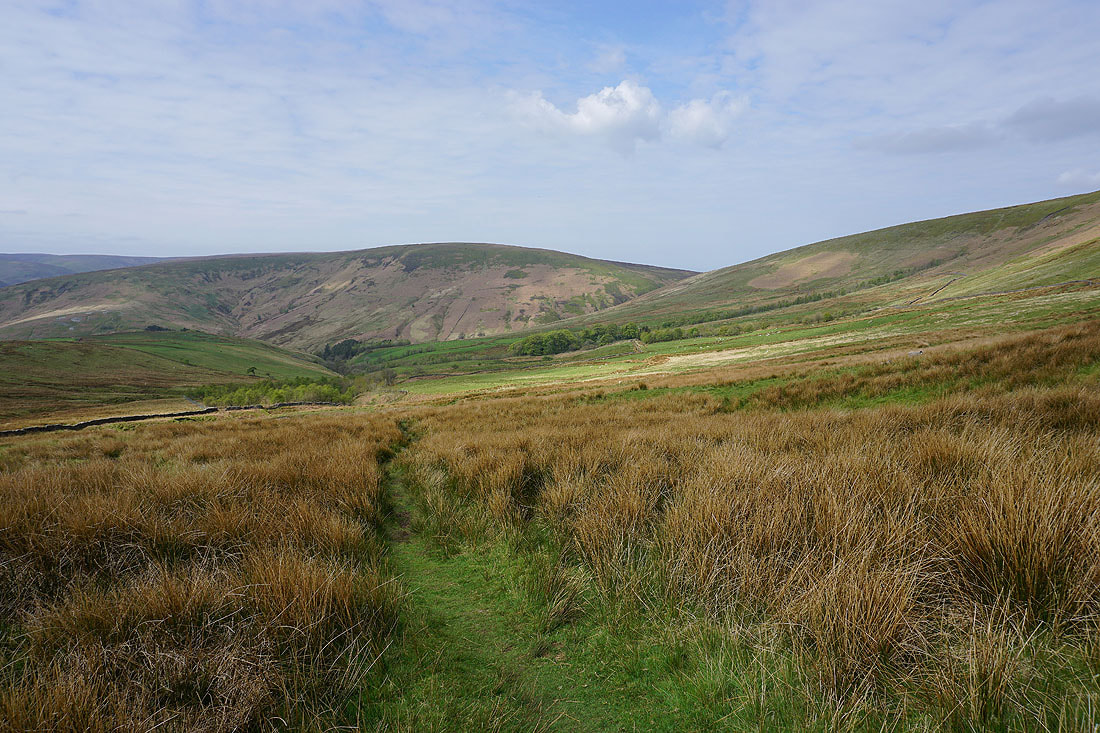
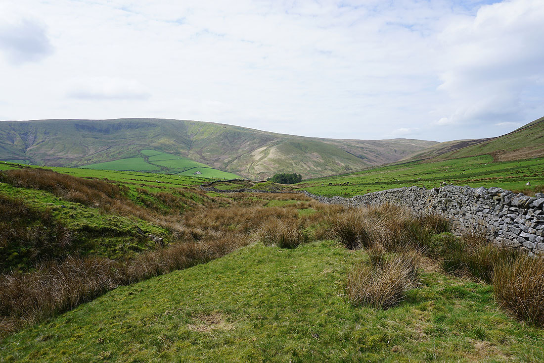
Whitendale as I take a brief pause on the climb from the top of the bridleway up the hillside of Hunter Hole
and from a bit higher up, Middle Knoll with Brennandale on the right
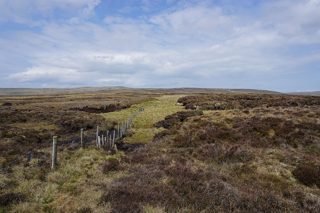
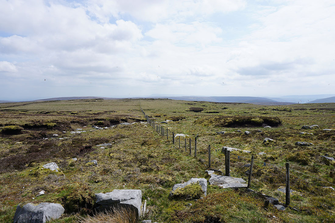
The way ahead to Wolfhole Crag. Just follow the fence.
Whitendale and White Hill to my right
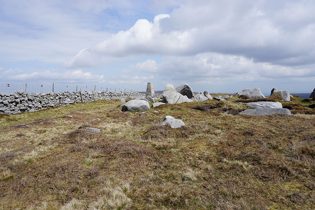
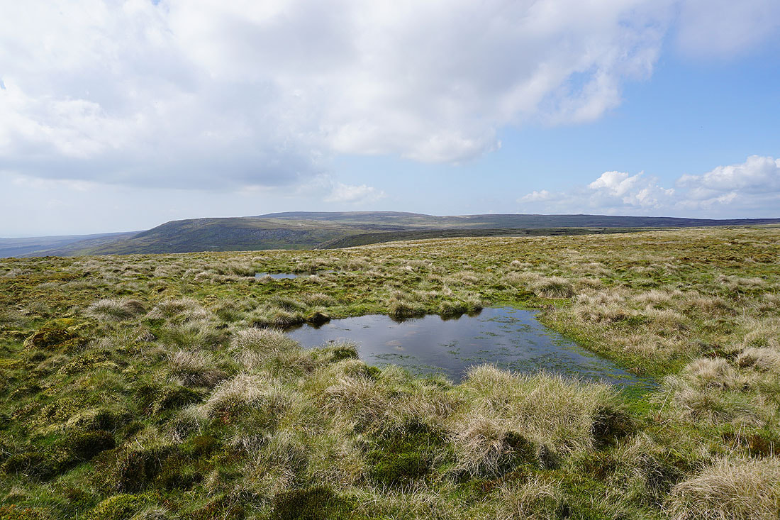
I can make out the collection of boulders that are Whitendale Hanging Stones on the hillside ahead. The going underfoot isn't too bad at the moment.
Whins Brow and Hawthornthwaite Fell from the southernmost of the stones
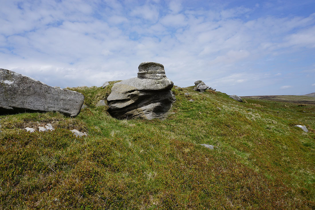
Whitendale Hanging Stones. Supposedly at the centre of Great Britain.
Back to following the fence, north to White Crag, which are just boulders scattered across the moor
At White Crag. Looking back south along the fence towards Whins Brow. I'm going to have the company of Lesser Black-backed Gulls for the next couple of hours as they nest on these moors at this time of year. It was quite noisy at times.
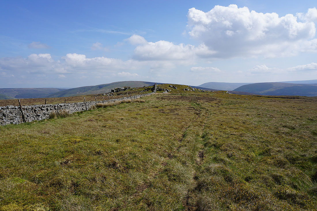
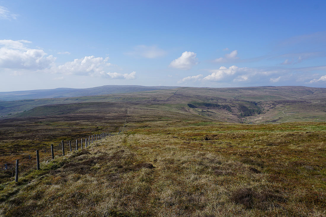
Not far to go to Wolfhole Crag
Looking back along the fence to White Crag as I reach the fence junction just east of Wolfhole Crag
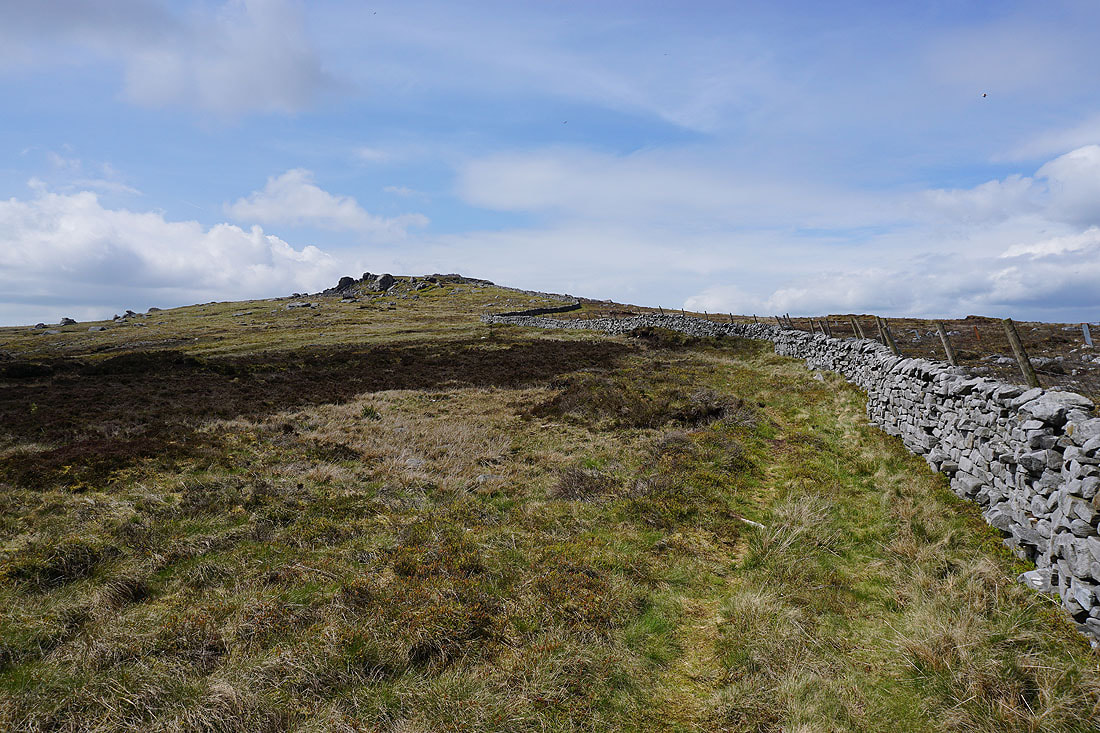
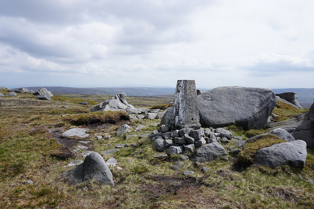
The final climb to the summit of Wolfhole Crag
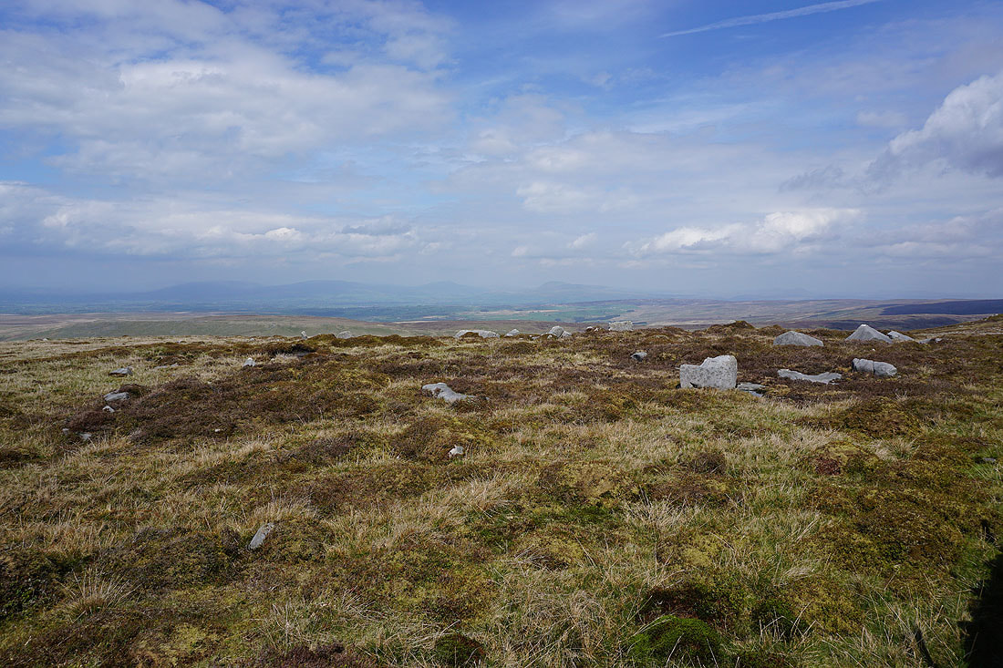
White Hill, Burn Fell and Baxton Fell from the eastern end of Wolfhole Crag's summit
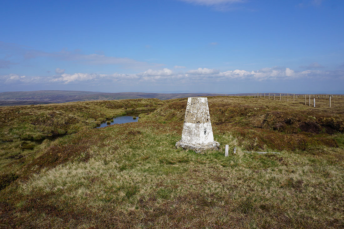
The trig point on Wolfhole Crag is in sight at last. I need a break!
The trig point on Wolfhole Crag
The hazy outline of Pendle Hill in the distance
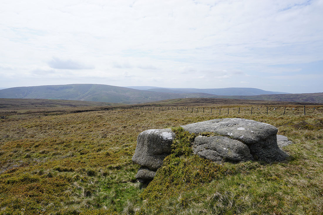
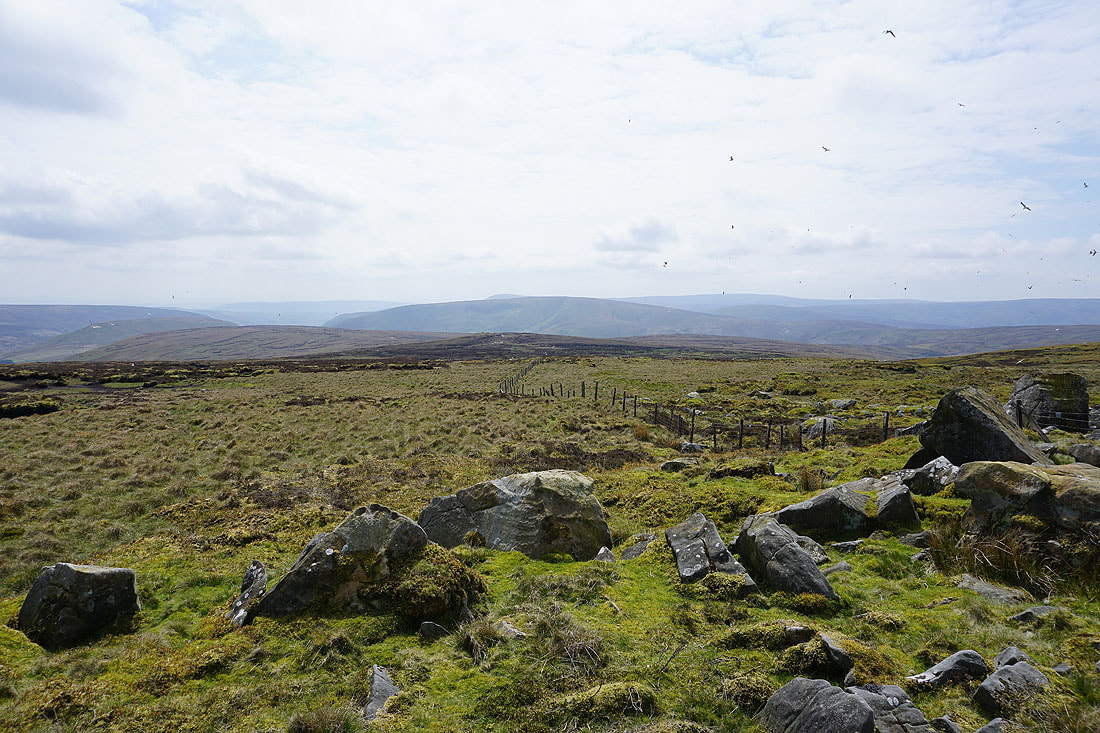
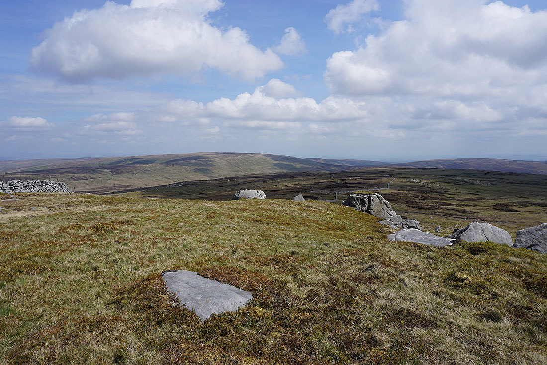
To the south, Beatrix Fell, Brennand Fell and Whins Brow
On the western top of Wolfhole Crag. Looking back to the rise with the trig point on it.
Middleton Fell, Great Coum, Whernside, Ingleborough and Penyghent in the Yorkshire Dales to the northeast
The broad swell of Ward's Stone rises to the west
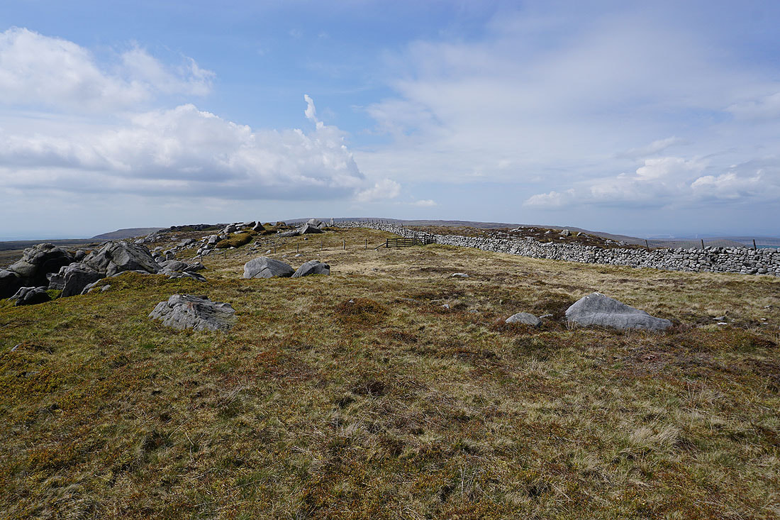
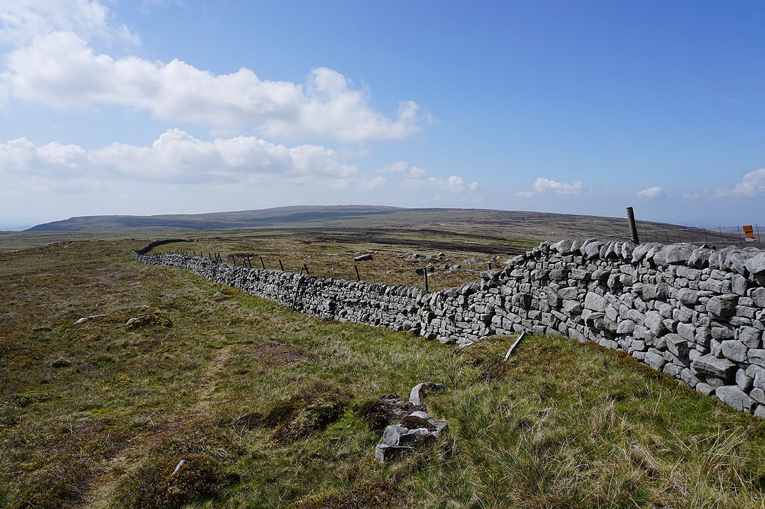
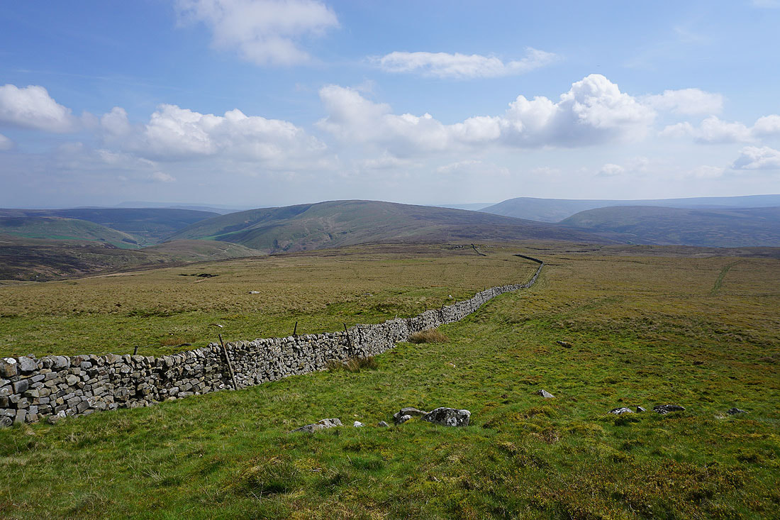
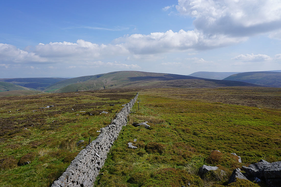
When I reached the fence junction just to the west of Wolfhole Crag I turned left to follow the fence south to Brennand Great Hill
Looking back to Wolfhole Crag
Ward's Stone to my right
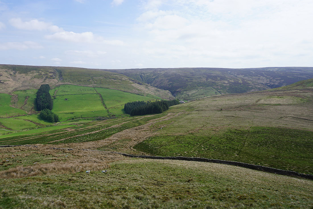
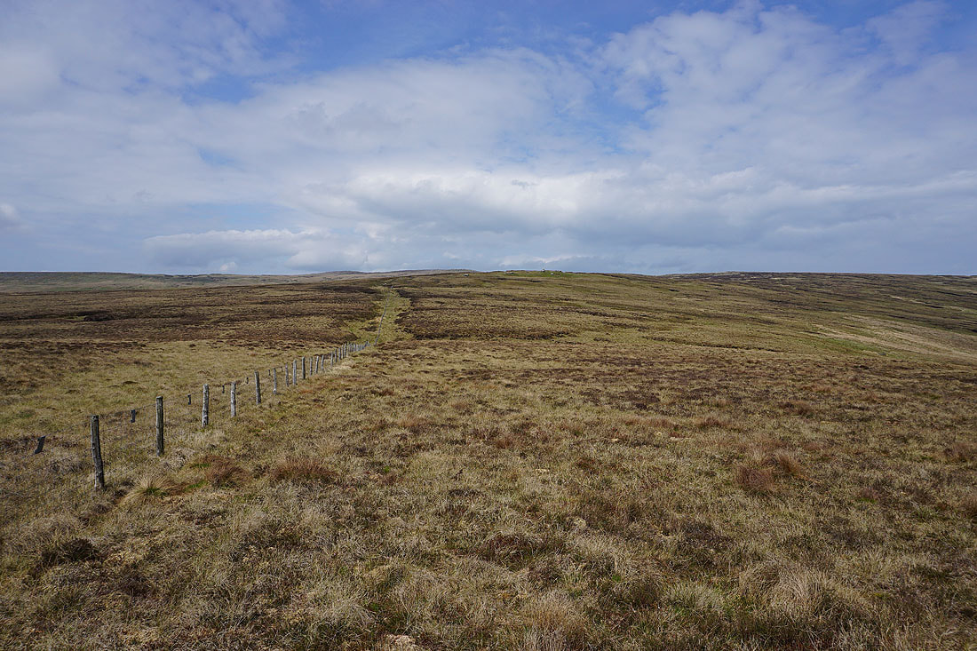
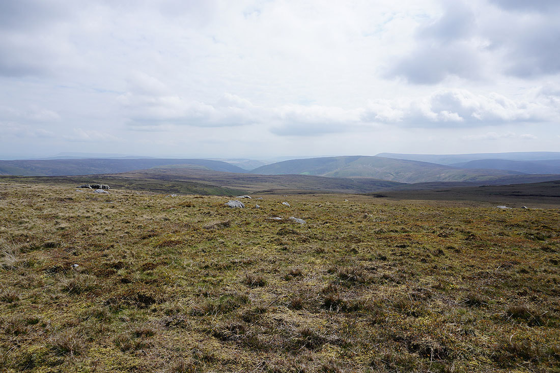
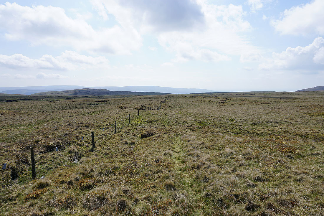
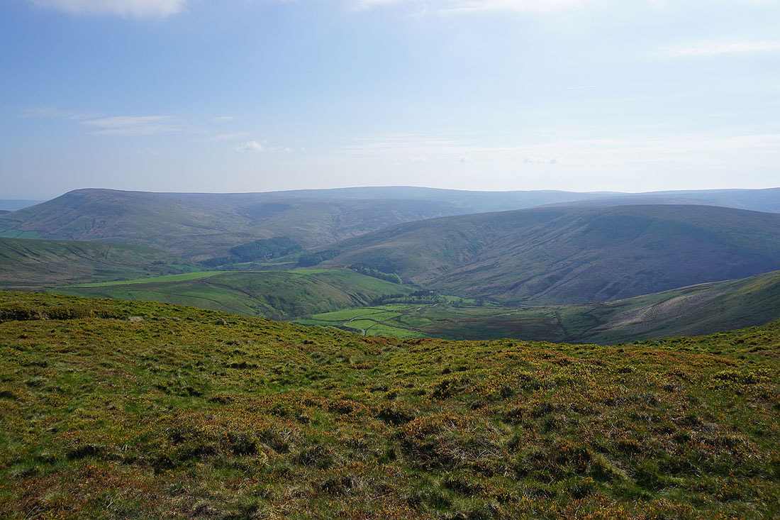
On Brennand Great Hill. My next destination of Whins Brow is ahead.
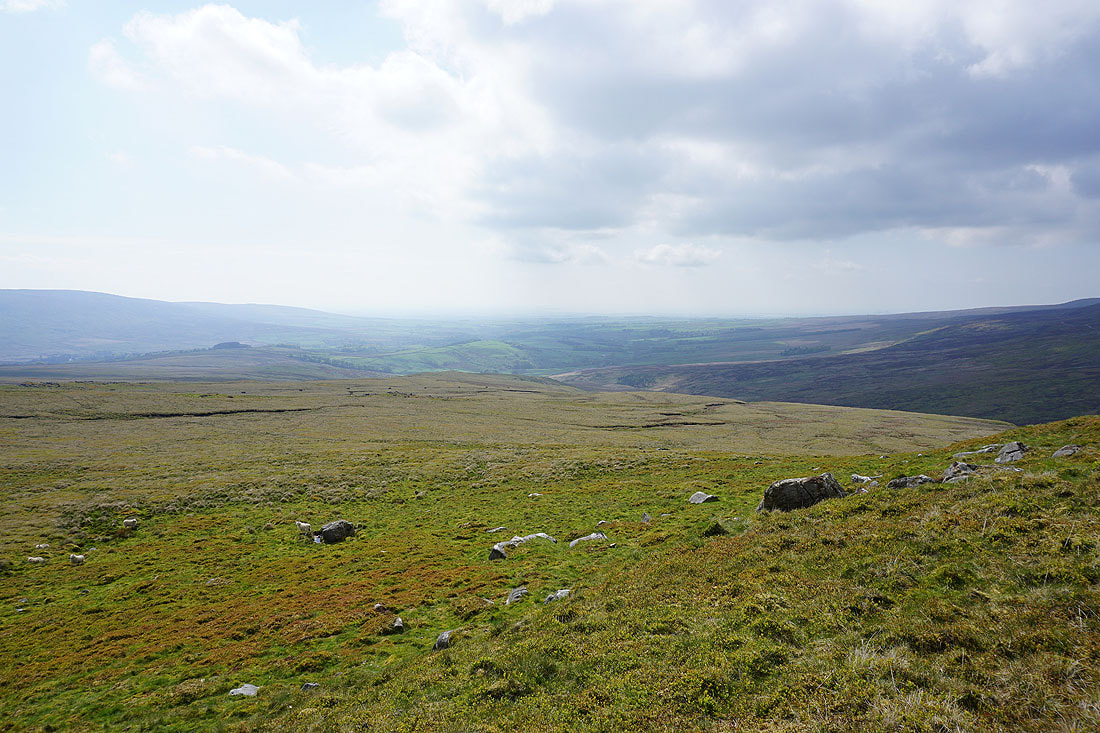
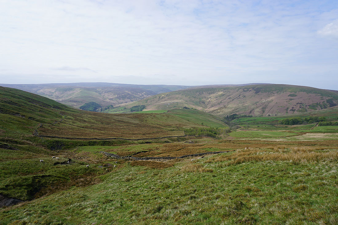
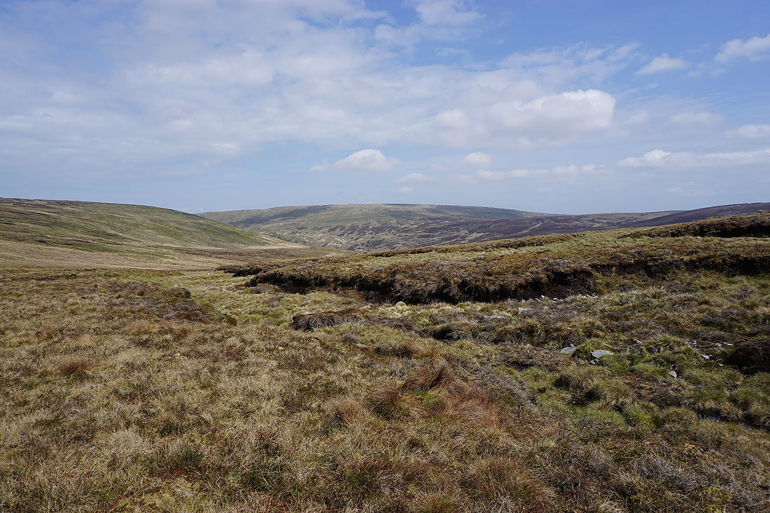
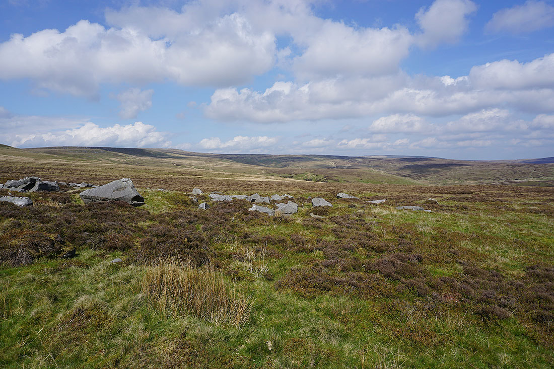
Looking down into the valley of Wyresdale
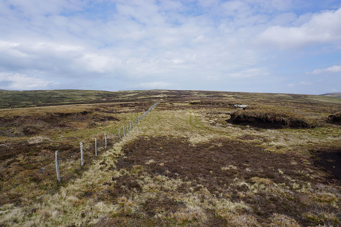
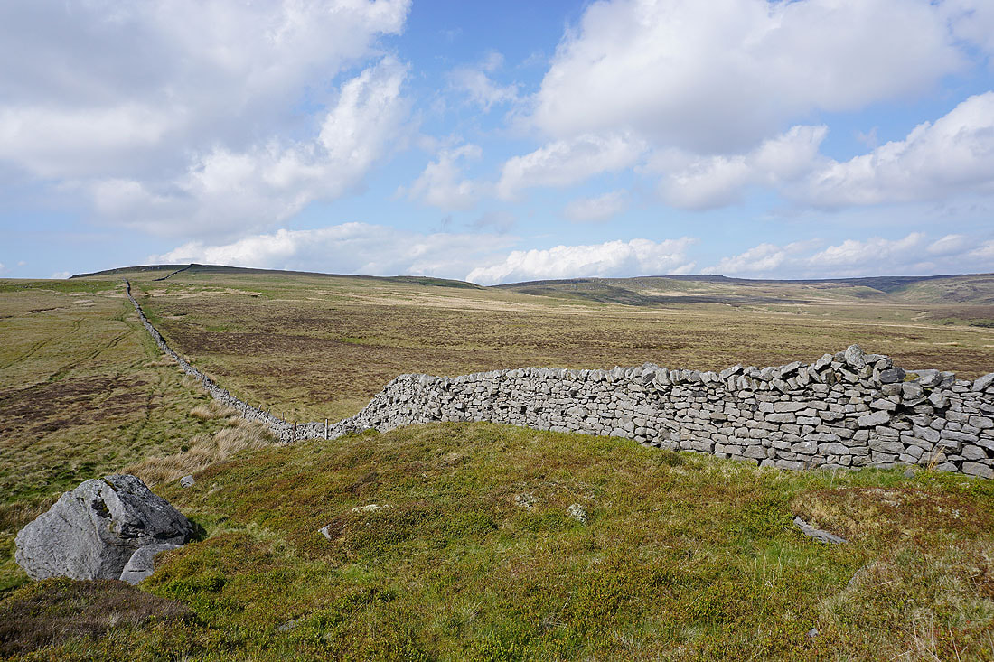
Following the wall south to the gritstone knoll of Millers House
Approaching Millers House
Whins Brow from Millers House. I've got a tough walk ahead of me to get there, along with a bit of a descent and a longer climb.
Looking back up to Brennand Great Hill and Wolfhole Crag
On the other side of the wall and I can see Wolfhole Crag and the moorland that surrounds the upper reaches of the Brennand River
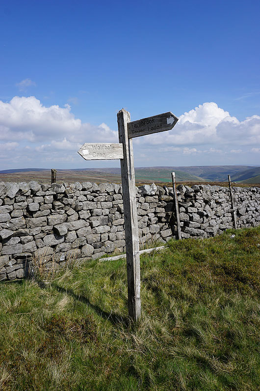
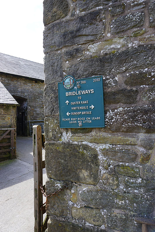
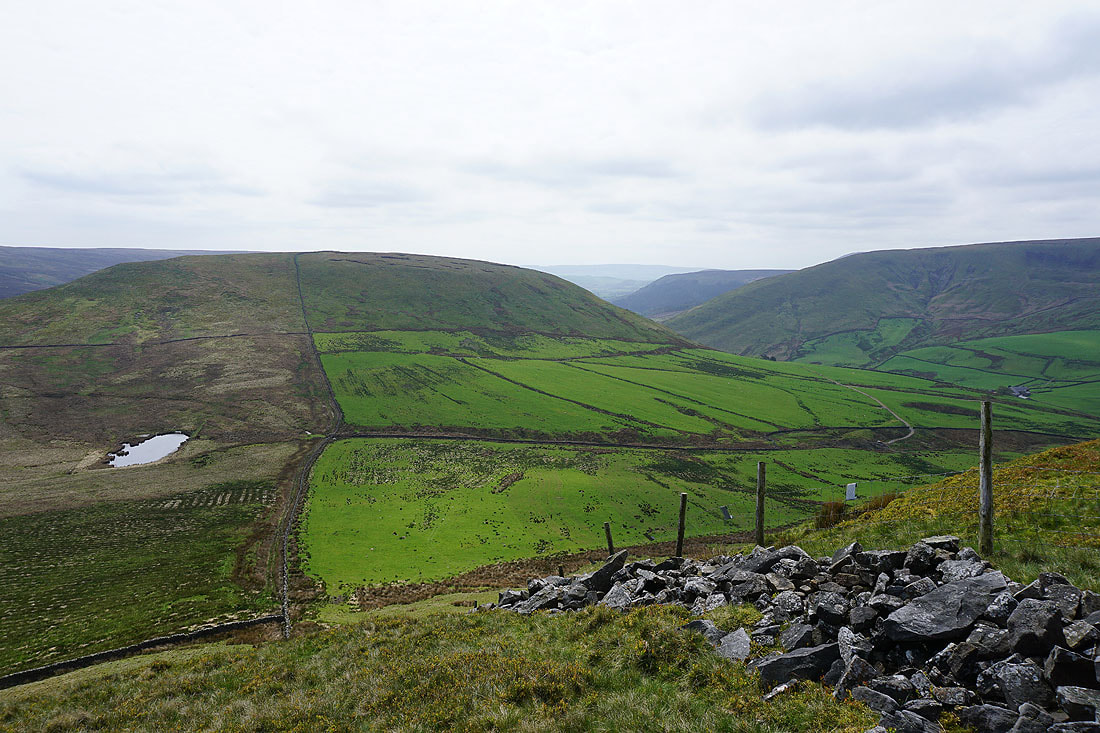
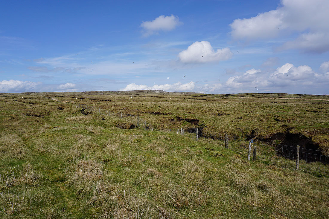
At the signpost just below Millers House. A concessionary footpath links up access land with the Wyre Way.
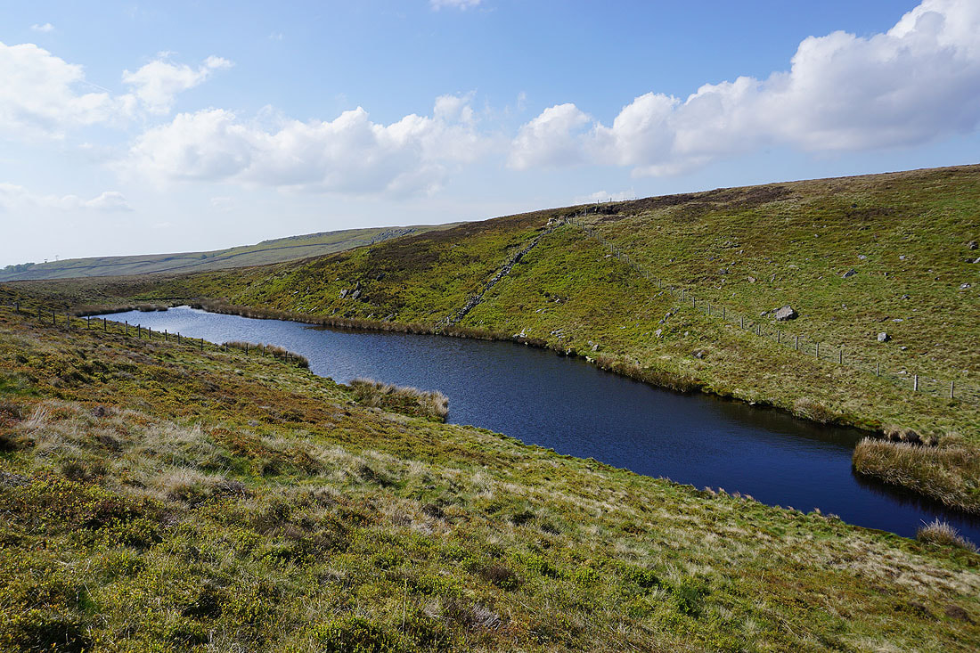
Brennand Tarn
Above the depression that holds Brennand Tarn. Looking north to Millers House and Brennand Great Hill.
and across the upper reaches of the Brennand River to Wolfhole Crag
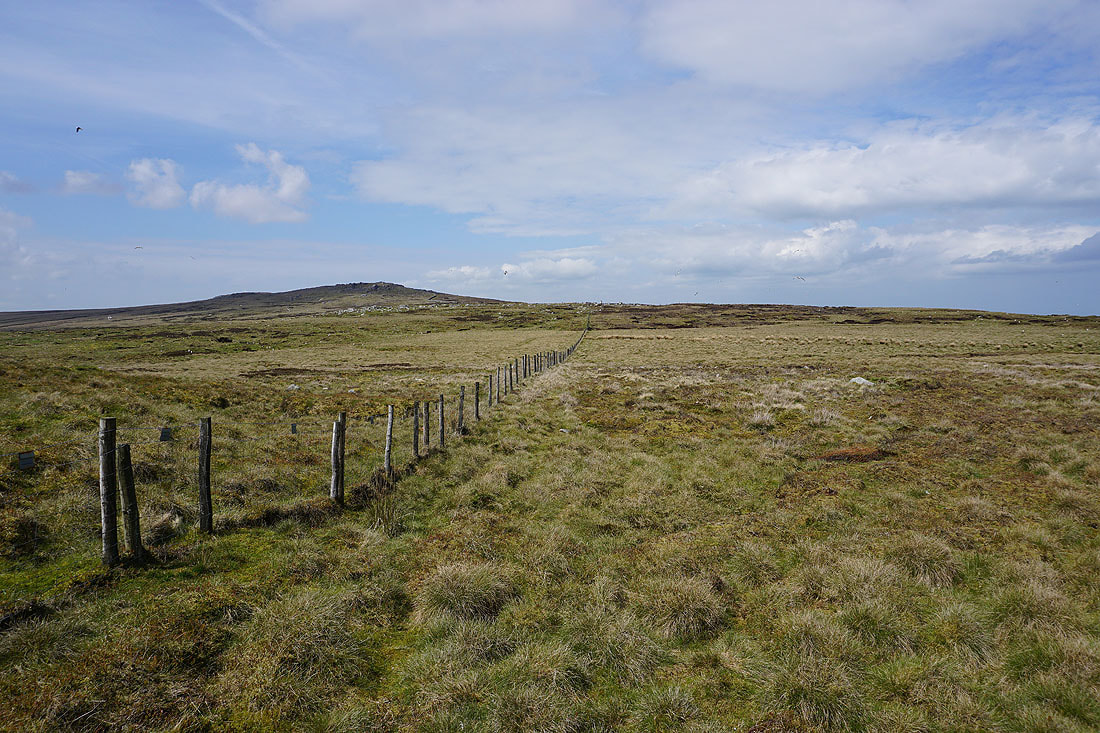
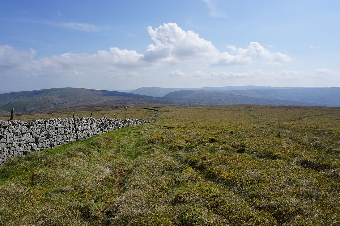
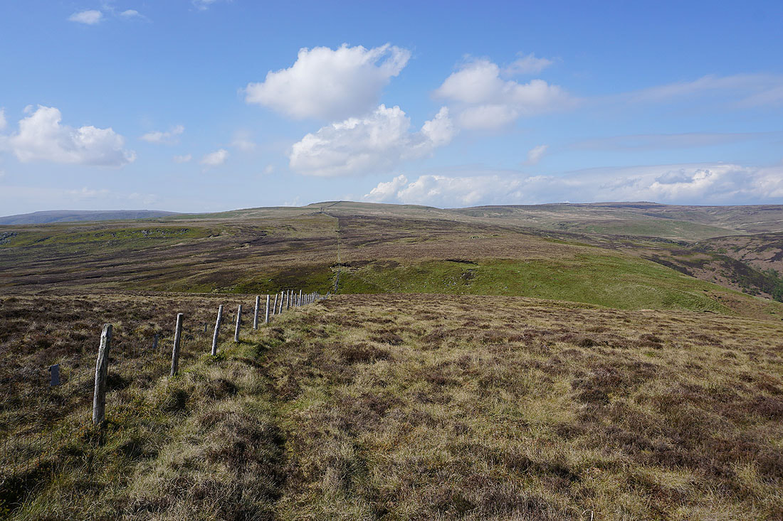
Looking back as I near the top of Whins Brow to Ward's Stone and Wolfhole Crag in the distance
At the trig point on Whins Brow
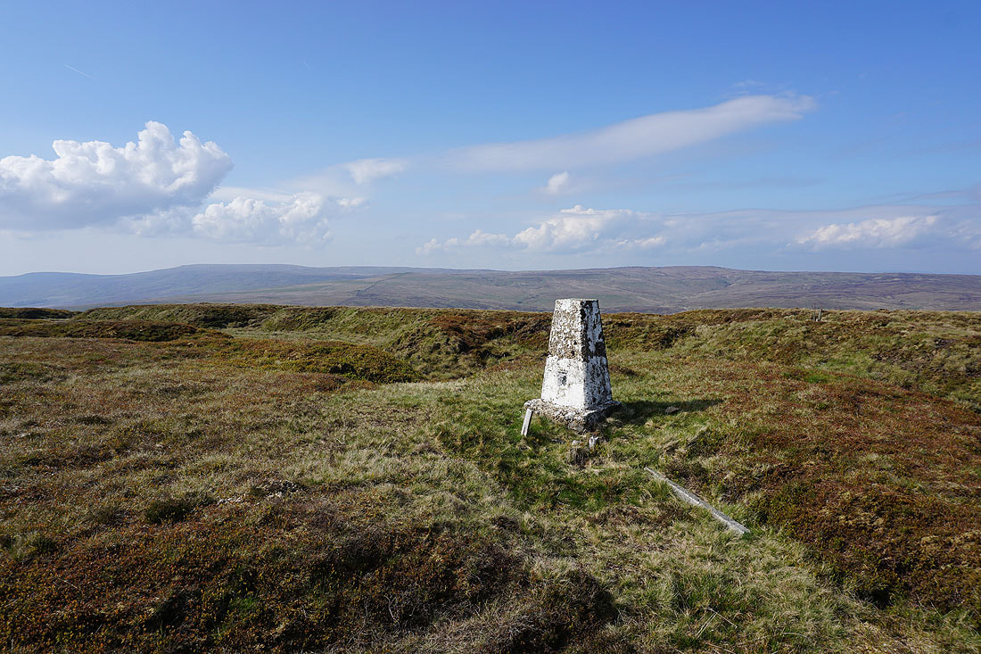
Ward's Stone and Wolfhole Crag to the north
Pendle Hill in the distance beyond Waddington Fell
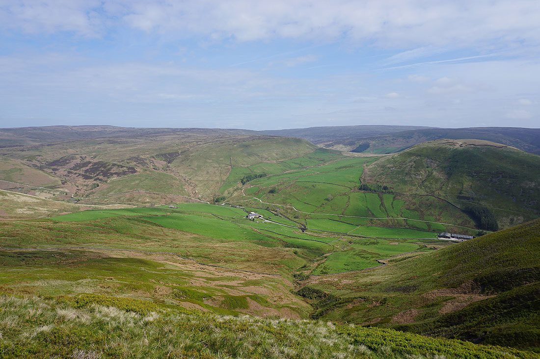
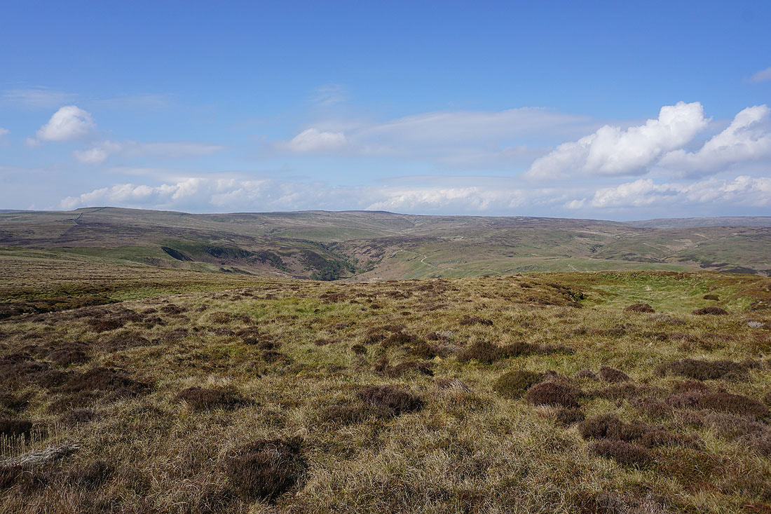
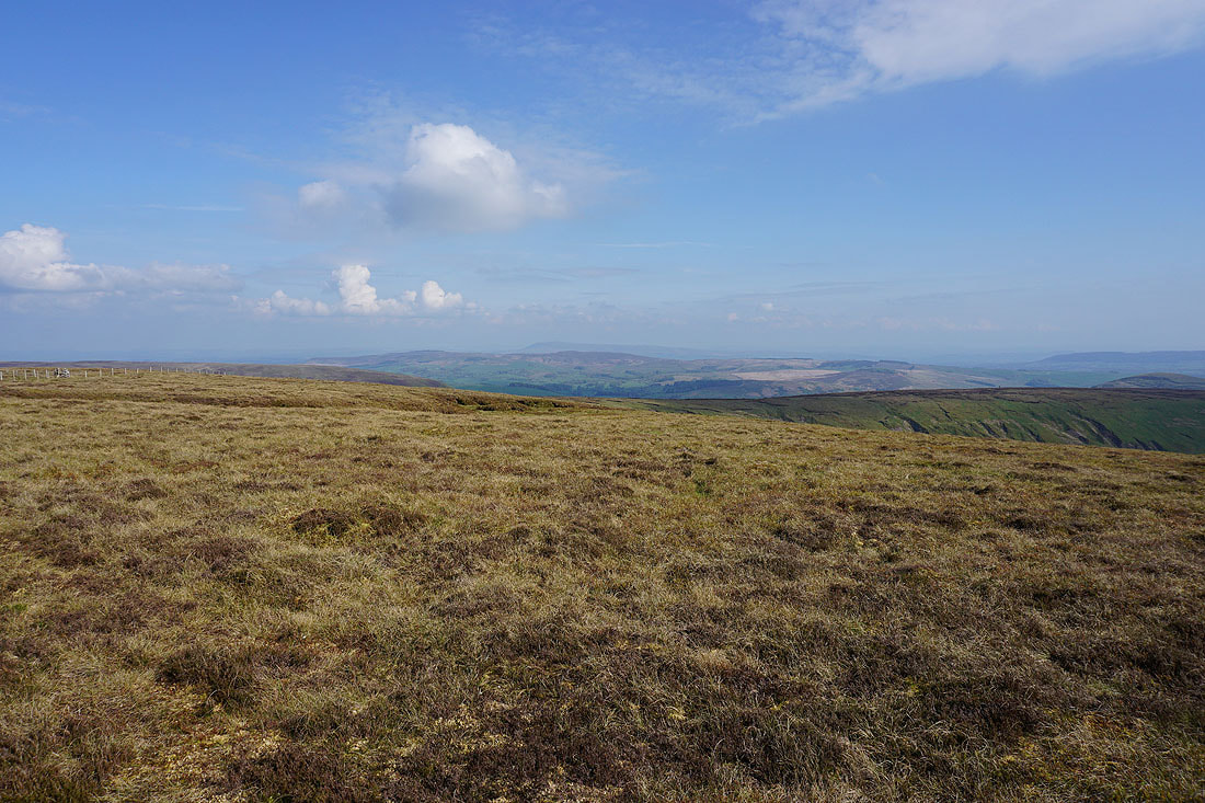
Looking across Losterdale to Totridge, Hareden Fell, Fair Snape Fell and Top of Blaze Moss
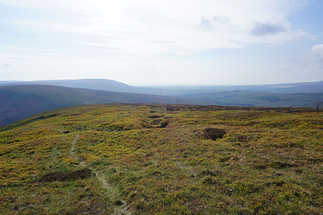
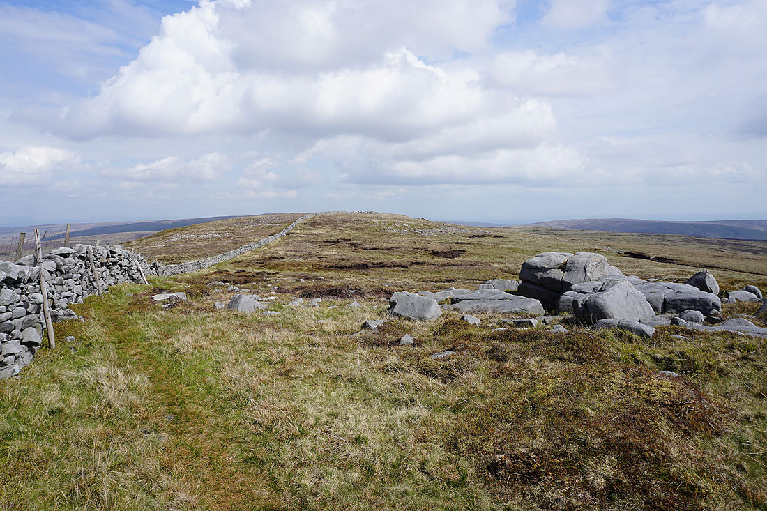
I leave Whins Brow and follow the fence down to the Trough of Bowland
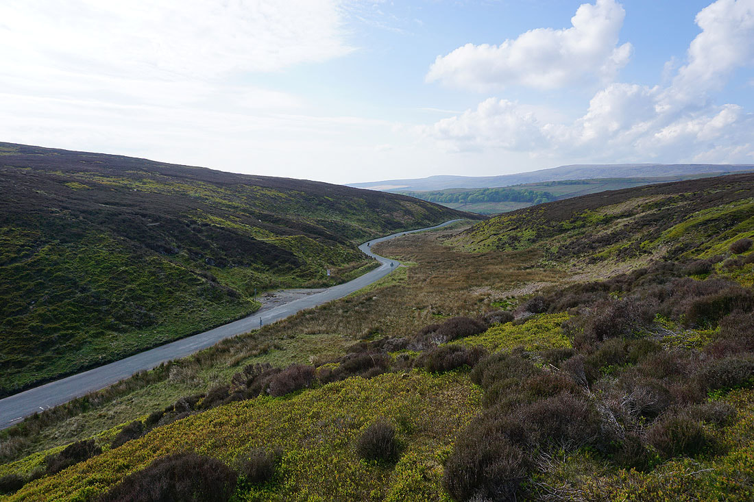
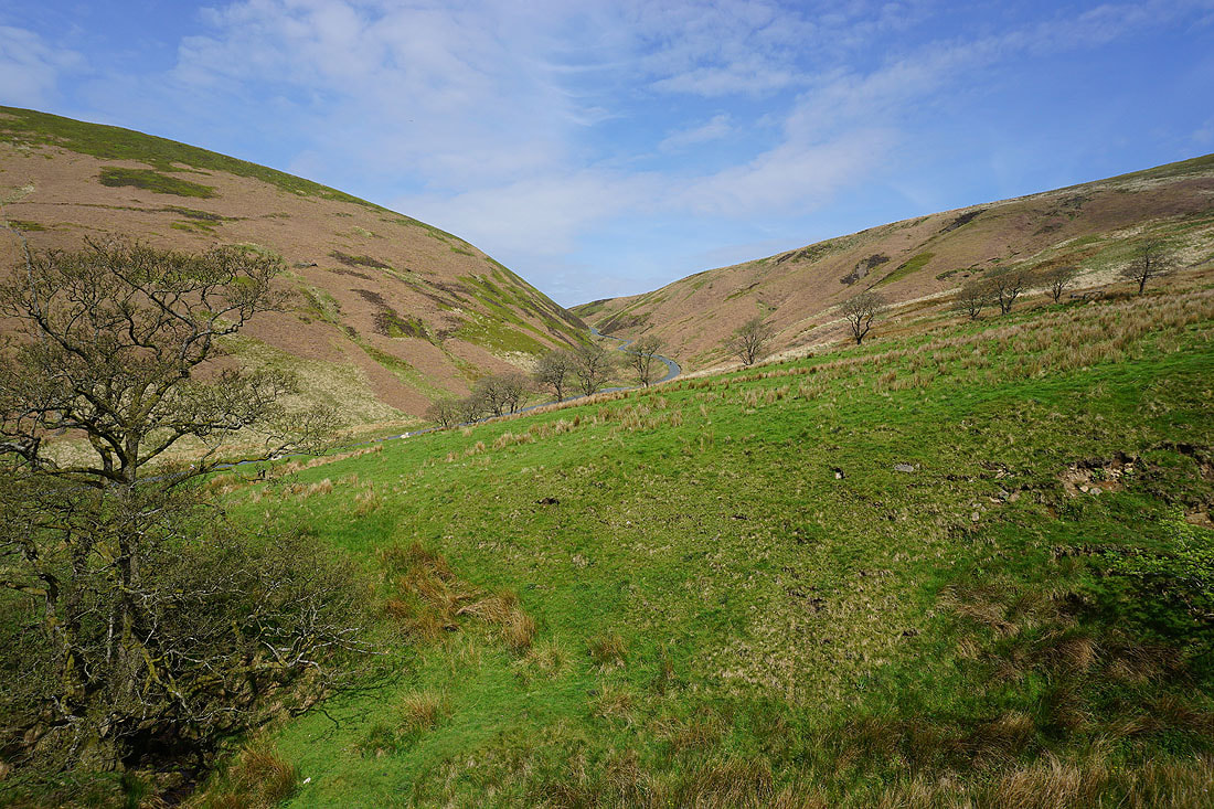
The road across the Trough of Bowland looking towards Wyresdale
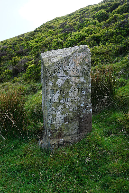
The Grey Stone of Trough
Walking along the Trough road through Losterdale back to Langden Intake