8th October 2022 - Weets Hill and Wheathead Height
Walk Details
Distance walked: 14.8 miles
Total ascent: 2389 ft
OS map used: OL21 - South Pennines
Time taken: 7.5 hrs
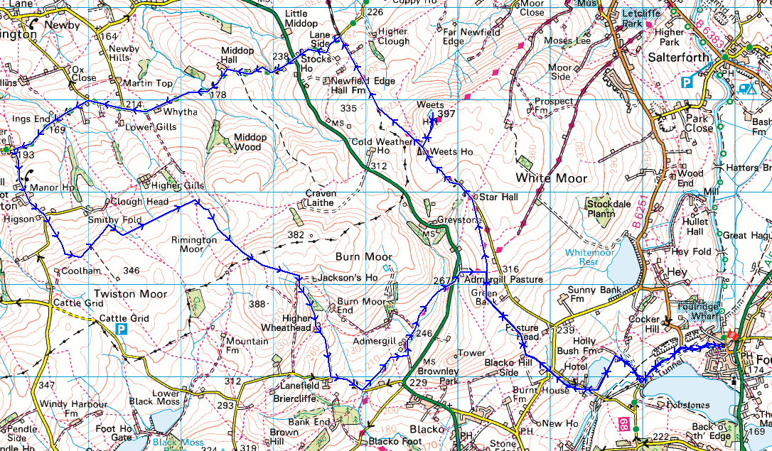
Route description: Foulridge-B6251-Reedymoor Lane-Sand Hall-Slipper Hill Reservoir-Barnoldswick Road-Hollin Hall-Blacko Hill-Pendle Way-Gisburn Old Road-Weets Hill-Pennine Bridleway-Stocks Lane-Middop Hall-Whytha Road-Skeleron Lane-Ings End-Skeleron Lane-Twiston Lane-Twiston-Twiston Moor-Rimington Moor-Wheathead Height-Higher Wheathead Farm-Wheathead Lane-Pendle Way-Admergill Hall Farm-Pendle Way-Blacko Hill-Hollin Hall-Barnoldswick Road-Slipper Hill Reservoir-Sand Hall-Reedymoor Lane-B6251-Foulridge
I decided to have a long walk from home today. It's been eighteen months since I last did one of this length from home, not since COVID-19 restrictions were lifted at the beginning of April last year. Perhaps it wasn't that surprising that it's taken this long, given that the lockdown because of COVID had me exploring all the possible routes that I could do from home, which included variations of the one that I did today. I set off from home at about 0930 with a forecast of a mostly fine autumn day, the chance of a light shower improving to more in the way of sunshine during the afternoon. The best of the weather was while I was up on Twiston Moor during the early afternoon, I had great views across the Ribble Valley to the Forest of Bowland and the Yorkshire Dales.
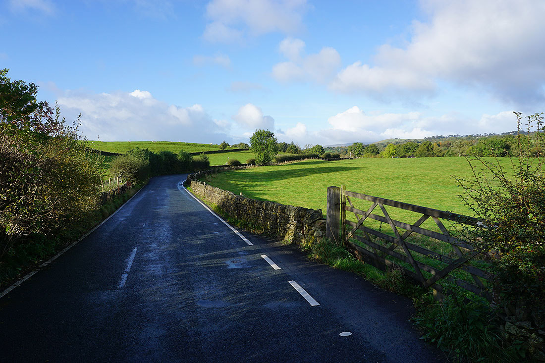
From where I live in Foulridge I walked up to and then west along the B6251, then along Reedymoor Lane to Foulridge Lower Reservoir. I then walked up the track to Sand Hall, took the footpath on the left past Slipper Hill Reservoir and to Slipper Hill, where I crossed the lane and took the footpath opposite past cottages and up the hillside to Barnoldswick Road. After crossing the road I took the footpath opposite from Hollin Hall up onto Blacko Hill and then north to join the Pendle Way to Gisburn Old Road. I then walked up Gisburn Old Road to its top at Weets House Farm, and from there I took the path to the top of Weets Hill. After a stop for a break and to take in the view, I returned to the top of Gisburn Old Road and took the Pennine Bridleway and followed it north until I reached Stocks Lane, which took me west and across the A682 to Middop Hall. From Middop Hall I then walked west along Whytha Road, passing Whytha Farm, until I reached a fork in the road where I took Skeleron Lane on the left, which took me west through the hamlet of Ings End and up to Twiston Lane. I turned left and then walked up Twiston Lane through the hamlet of Twiston, past the lane on the left to Smithy Fold, and up to a public footpath sign on the left, which I took up onto Twiston Moor. Once up on Twiston Moor I made my way to the western end of a track above Smithy Fold, where I stopped for lunch. After this break I walked down the track to where it turned left, and I turned right and took the footpath down to and across Clough Beck and then east across Rimington Moor. From the eastern end of Rimington Moor I took the footpath signposted for Jackson's House and followed it south up onto the top of Rimington Moor and then south to Wheathead Height, where I kept on the footpath towards Jackson's House before taking the footpath down to Higher Wheathead Farm. I then walked down the track from Higher Wheathead Farm to Wheathead Lane where I turned left and walked down the road to the bridge over Admergill Water, where I joined the Pendle Way. I then followed the Pendle Way north to Admergill Hall Farm, by Admergill Water, up to and across the A682 and by Admergill Pasture Cottage, where I joined my outbound route. I retraced my steps from here to get back home.
Total ascent: 2389 ft
OS map used: OL21 - South Pennines
Time taken: 7.5 hrs
Route description: Foulridge-B6251-Reedymoor Lane-Sand Hall-Slipper Hill Reservoir-Barnoldswick Road-Hollin Hall-Blacko Hill-Pendle Way-Gisburn Old Road-Weets Hill-Pennine Bridleway-Stocks Lane-Middop Hall-Whytha Road-Skeleron Lane-Ings End-Skeleron Lane-Twiston Lane-Twiston-Twiston Moor-Rimington Moor-Wheathead Height-Higher Wheathead Farm-Wheathead Lane-Pendle Way-Admergill Hall Farm-Pendle Way-Blacko Hill-Hollin Hall-Barnoldswick Road-Slipper Hill Reservoir-Sand Hall-Reedymoor Lane-B6251-Foulridge
I decided to have a long walk from home today. It's been eighteen months since I last did one of this length from home, not since COVID-19 restrictions were lifted at the beginning of April last year. Perhaps it wasn't that surprising that it's taken this long, given that the lockdown because of COVID had me exploring all the possible routes that I could do from home, which included variations of the one that I did today. I set off from home at about 0930 with a forecast of a mostly fine autumn day, the chance of a light shower improving to more in the way of sunshine during the afternoon. The best of the weather was while I was up on Twiston Moor during the early afternoon, I had great views across the Ribble Valley to the Forest of Bowland and the Yorkshire Dales.
From where I live in Foulridge I walked up to and then west along the B6251, then along Reedymoor Lane to Foulridge Lower Reservoir. I then walked up the track to Sand Hall, took the footpath on the left past Slipper Hill Reservoir and to Slipper Hill, where I crossed the lane and took the footpath opposite past cottages and up the hillside to Barnoldswick Road. After crossing the road I took the footpath opposite from Hollin Hall up onto Blacko Hill and then north to join the Pendle Way to Gisburn Old Road. I then walked up Gisburn Old Road to its top at Weets House Farm, and from there I took the path to the top of Weets Hill. After a stop for a break and to take in the view, I returned to the top of Gisburn Old Road and took the Pennine Bridleway and followed it north until I reached Stocks Lane, which took me west and across the A682 to Middop Hall. From Middop Hall I then walked west along Whytha Road, passing Whytha Farm, until I reached a fork in the road where I took Skeleron Lane on the left, which took me west through the hamlet of Ings End and up to Twiston Lane. I turned left and then walked up Twiston Lane through the hamlet of Twiston, past the lane on the left to Smithy Fold, and up to a public footpath sign on the left, which I took up onto Twiston Moor. Once up on Twiston Moor I made my way to the western end of a track above Smithy Fold, where I stopped for lunch. After this break I walked down the track to where it turned left, and I turned right and took the footpath down to and across Clough Beck and then east across Rimington Moor. From the eastern end of Rimington Moor I took the footpath signposted for Jackson's House and followed it south up onto the top of Rimington Moor and then south to Wheathead Height, where I kept on the footpath towards Jackson's House before taking the footpath down to Higher Wheathead Farm. I then walked down the track from Higher Wheathead Farm to Wheathead Lane where I turned left and walked down the road to the bridge over Admergill Water, where I joined the Pendle Way. I then followed the Pendle Way north to Admergill Hall Farm, by Admergill Water, up to and across the A682 and by Admergill Pasture Cottage, where I joined my outbound route. I retraced my steps from here to get back home.
Route map
© Crown copyright. All rights reserved. License number PU 100034184.
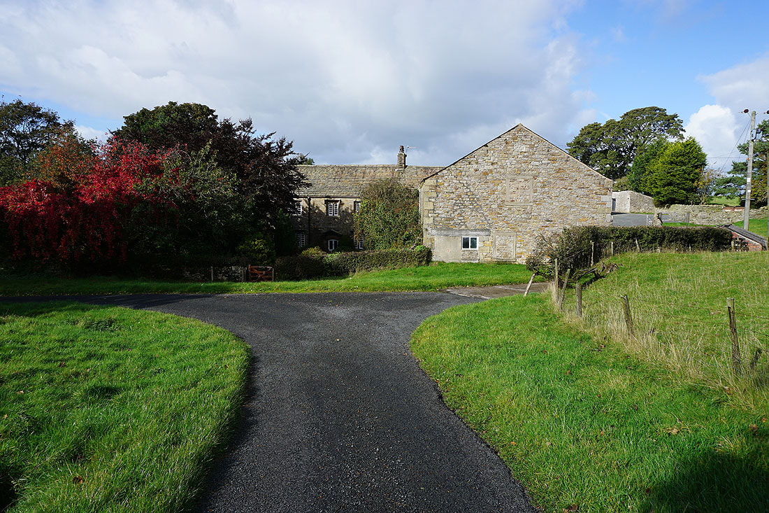
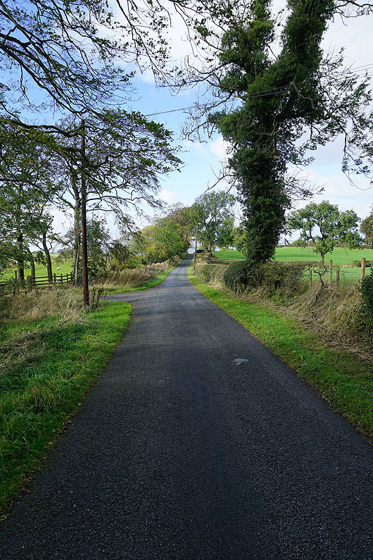
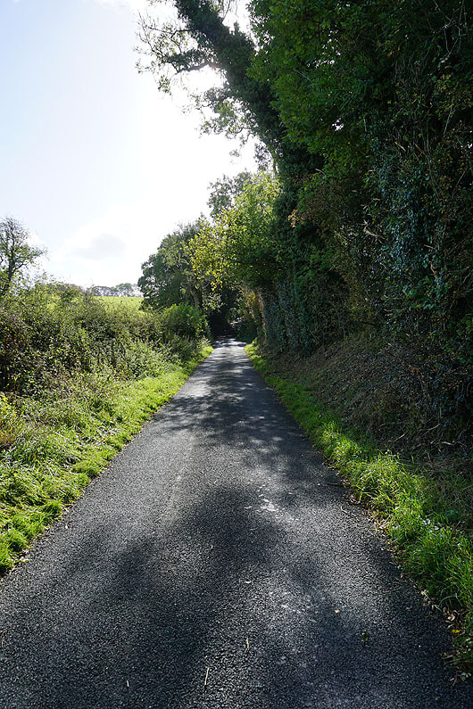
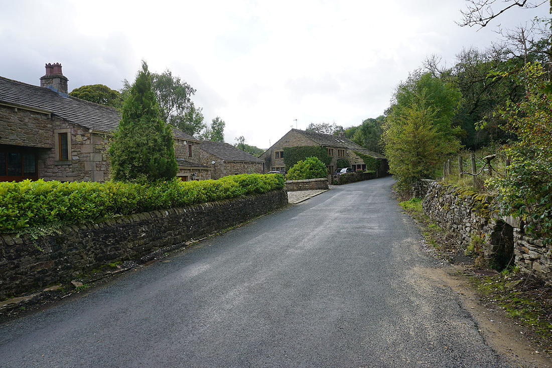
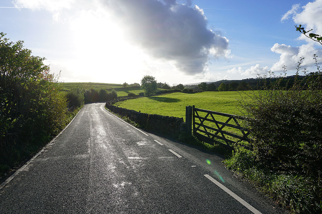
Leaving Foulridge on the B6251
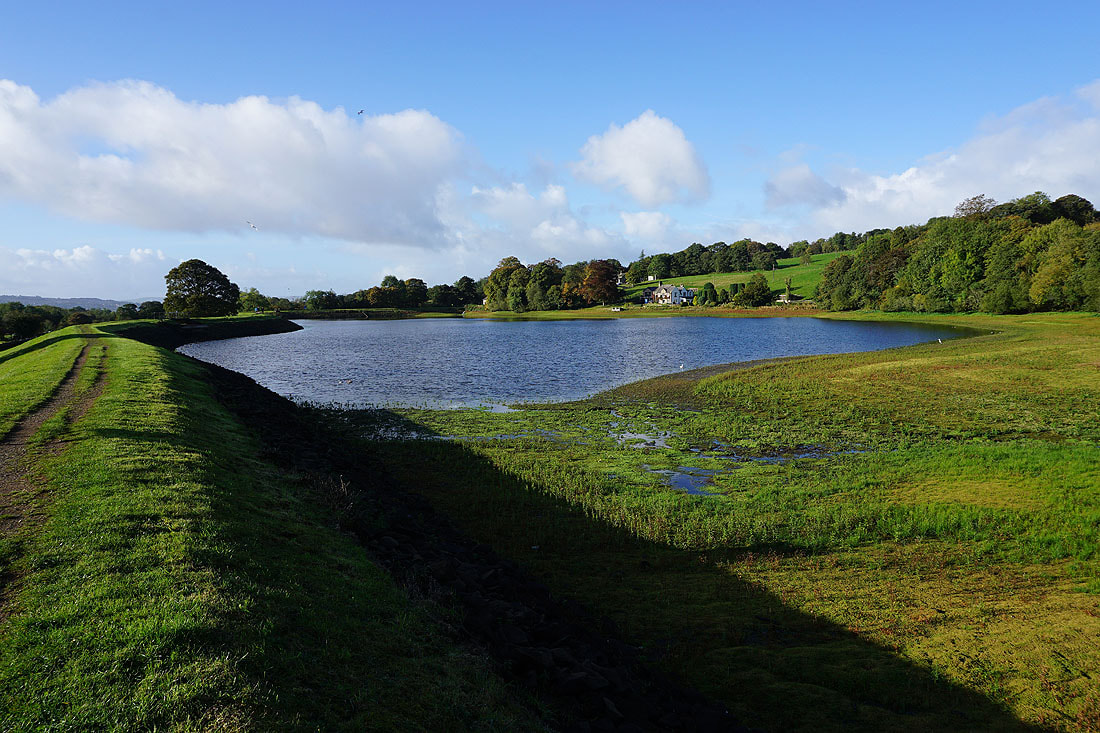
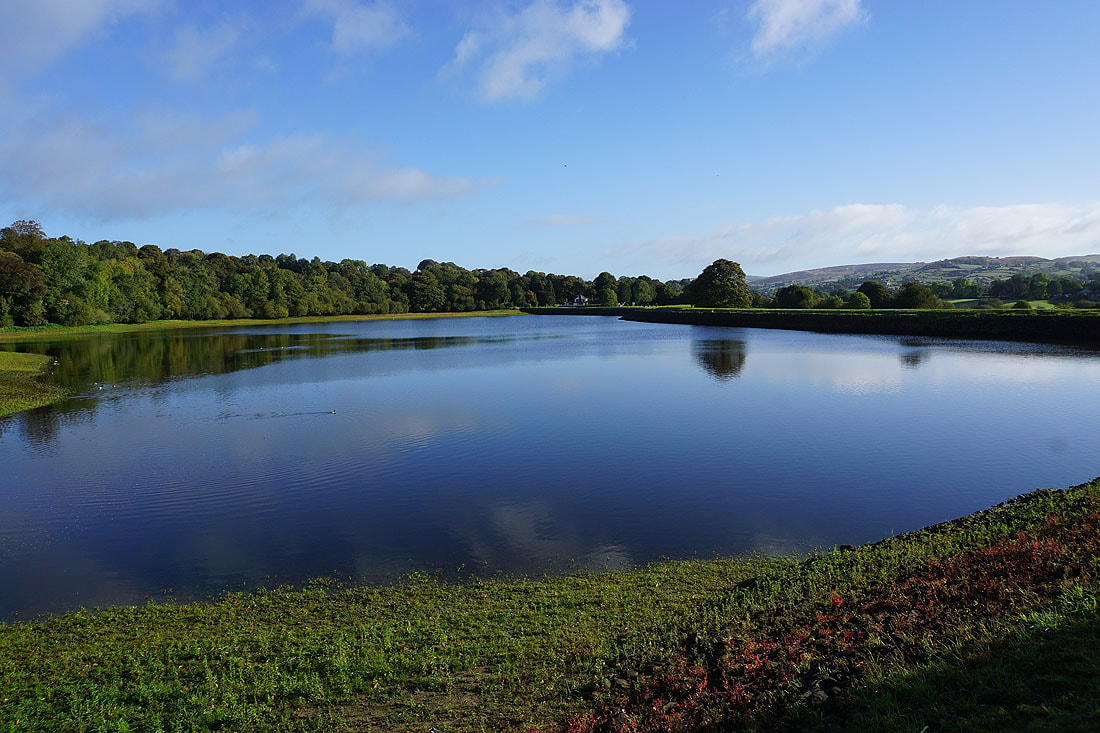
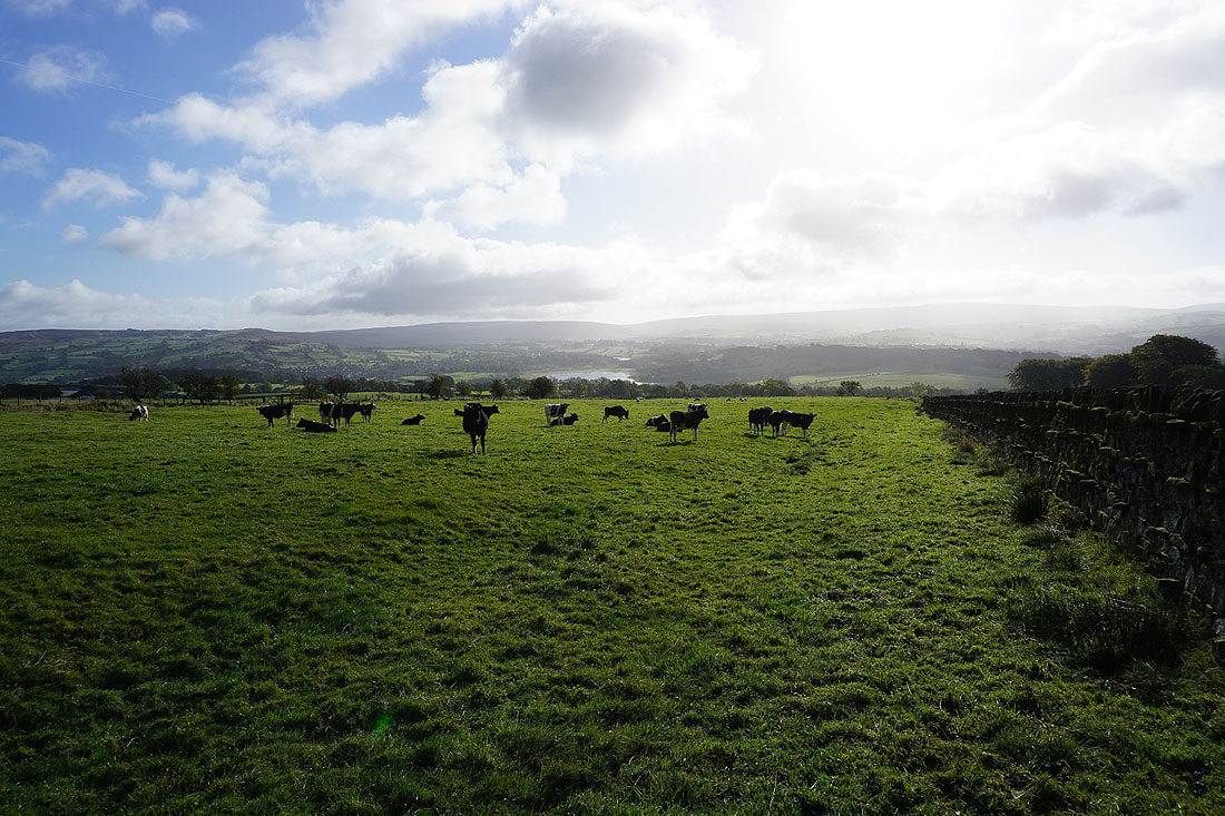
Making my way round Slipper Hill Reservoir, which is starting to fill up..
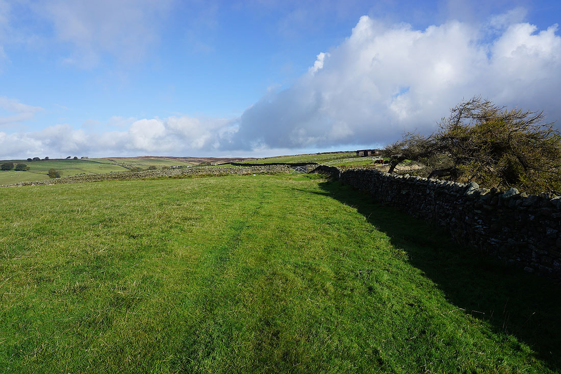
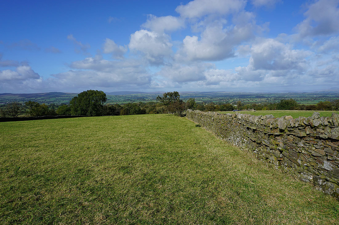
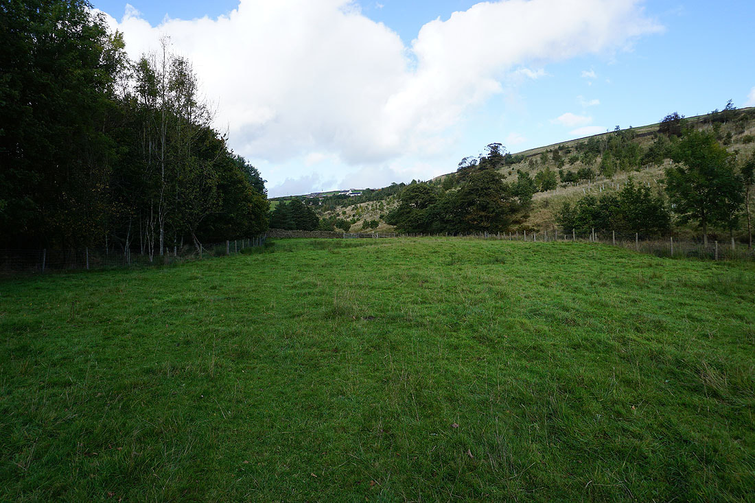
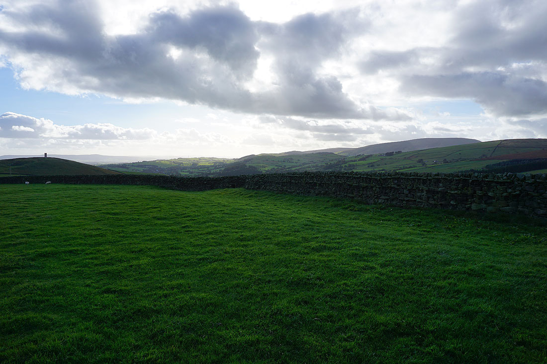
Having crossed Barnoldswick Road, on my way up onto Blacko Hill
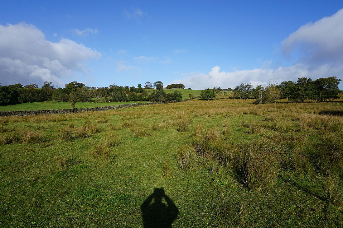
Looking back to Ickornshaw Moor, Foulridge Lower Reservoir and Boulsworth Hill in the distance
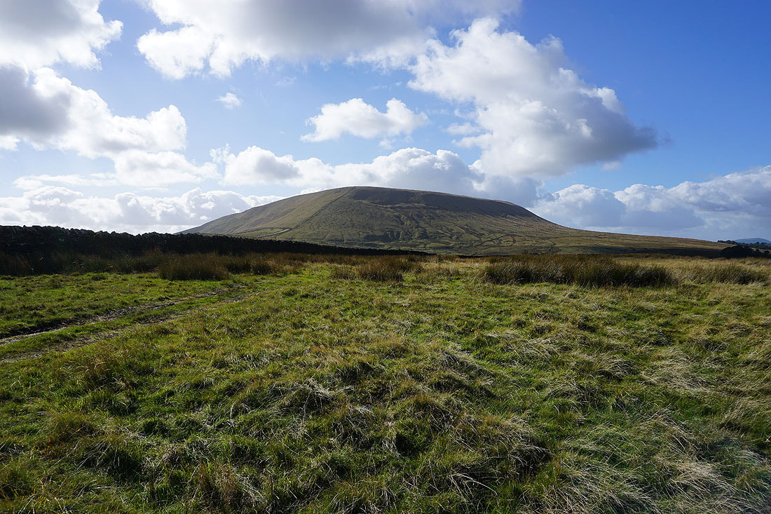
Blacko Hill and Pendle Hill
Stansfield Tower on Blacko Hill
Heading for Peel's House Farm to join the Pendle Way
Blacko Hill, the Forest of Pendle and Pendle Hill from the Pendle Way
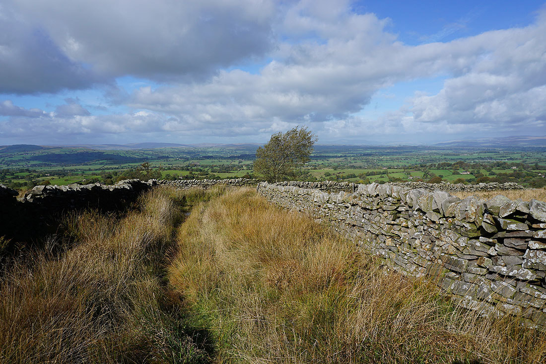
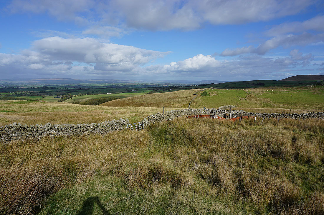
Looking back down Gisburn Old Road with Boulsworth Hill in the distance
Weets House Farm at the top of Gisburn Old Road is in sight
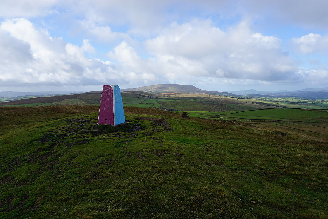
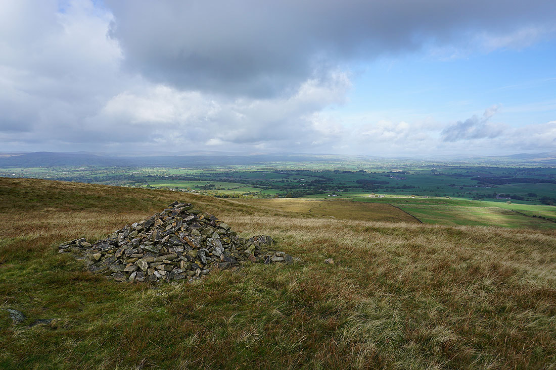
Pendle Hill from the trig point on Weets Hill. It's been painted in the colours of a nearby football team.
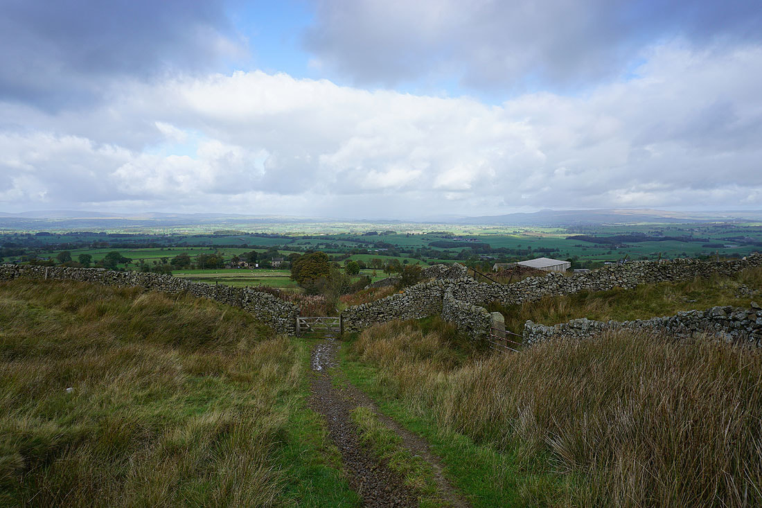
At the eastern end of the hill
Looking north to the Yorkshire Dales and the moors above Settle and Malham
Great Whernside in the distance on the left, Barden Moor on the right, and Barnoldswick below
The eastern fells of the Forest of Bowland in the distance on the other side of the Ribble Valley
Heading back to Weets House Farm
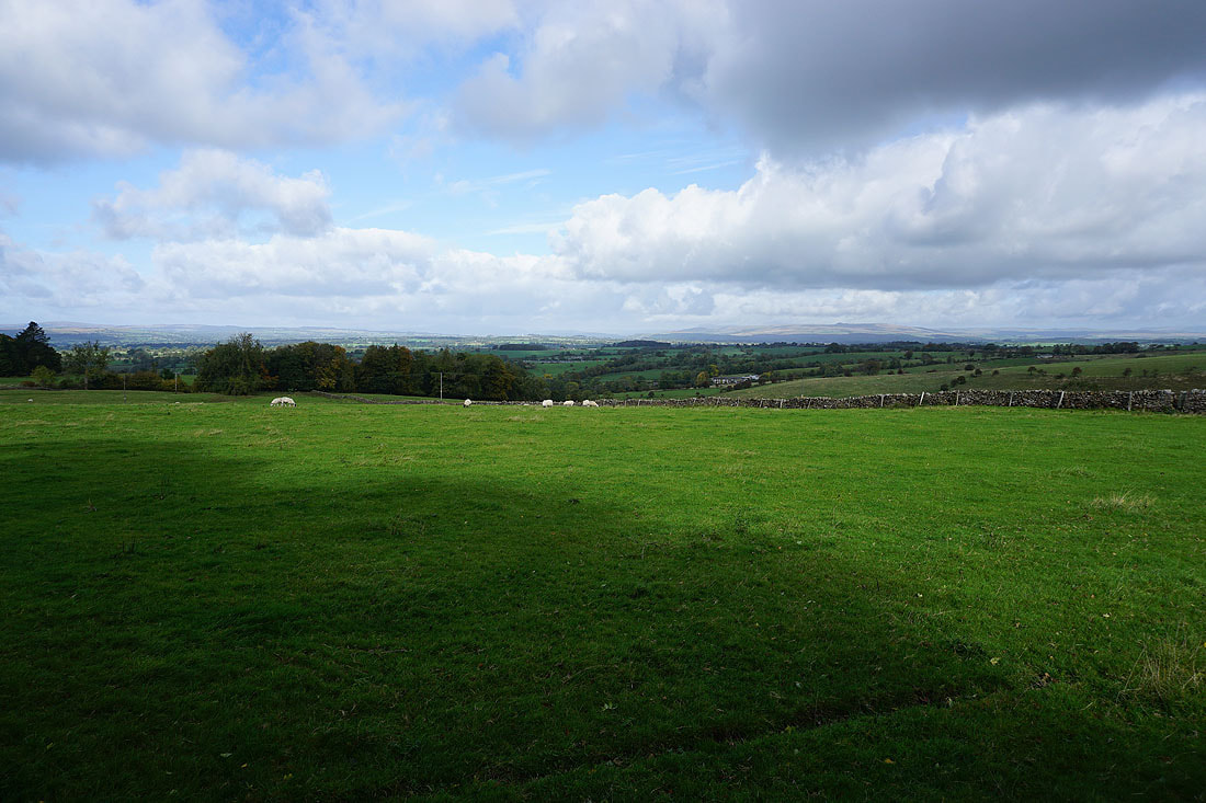
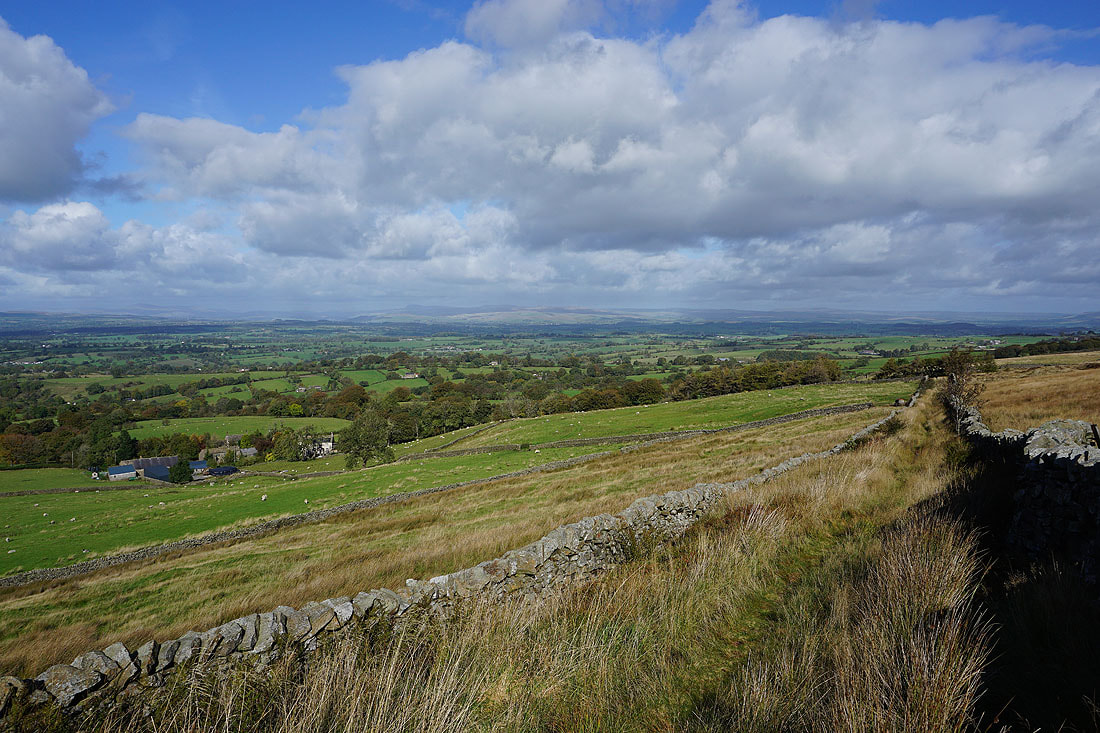
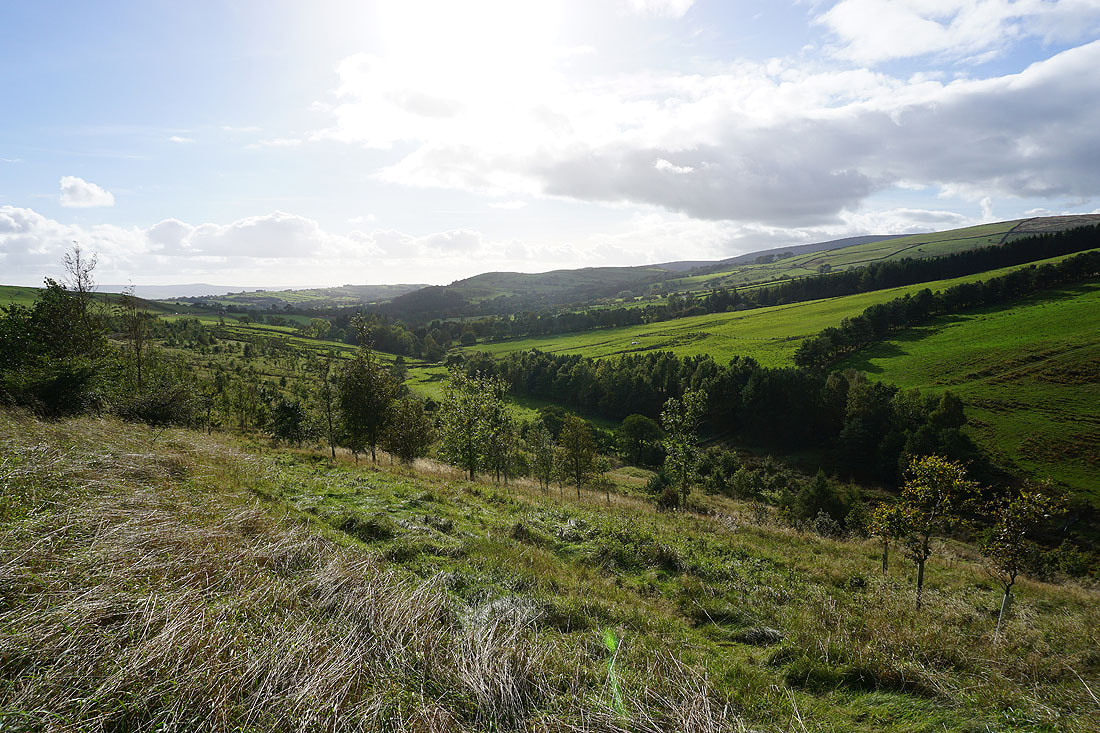
Looking across the Ribble Valley to the Forest of Bowland
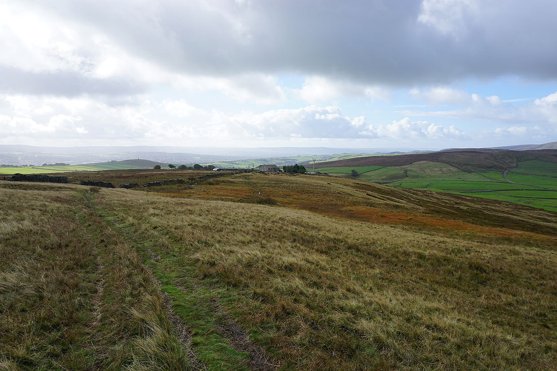
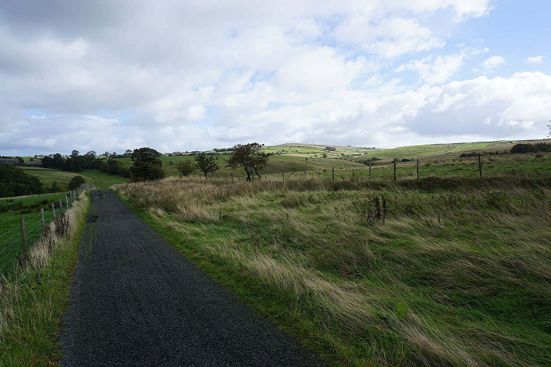
Heading north on the Pennine Bridleway...
..then west along Stocks Lane
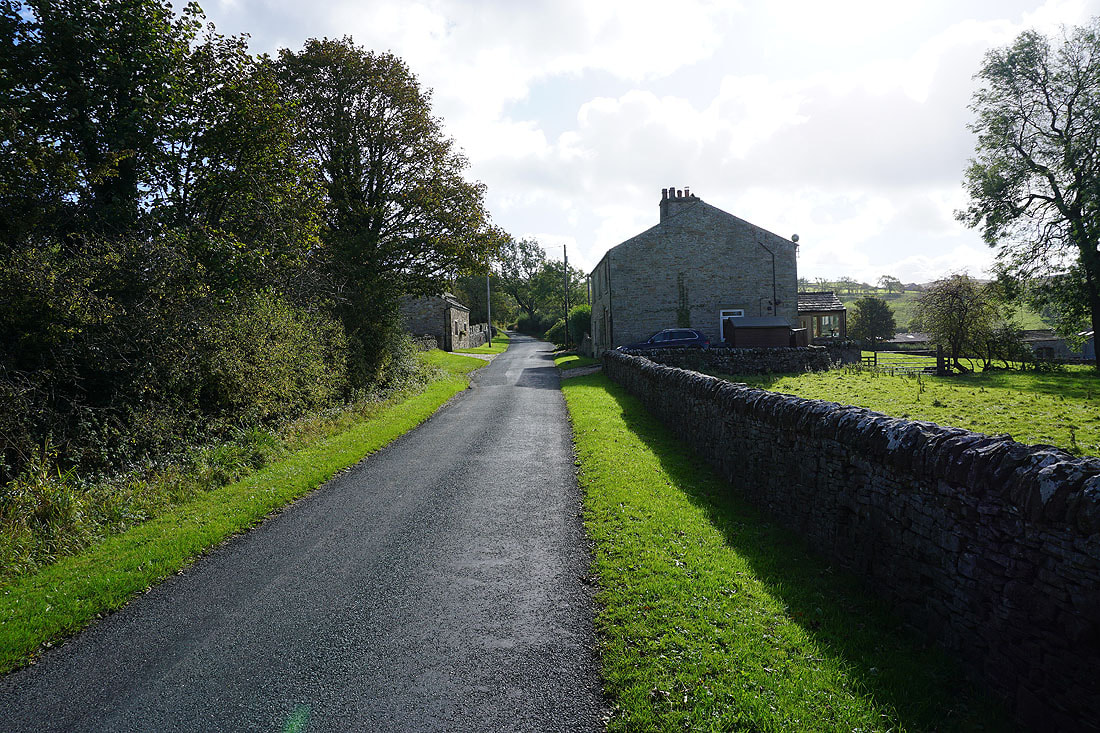
Passing Higher Laithe
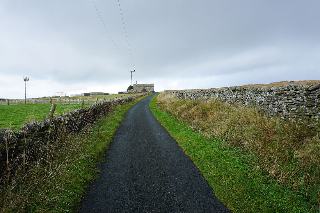
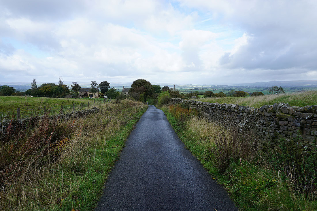
I've reached Middop Hall, and Stocks Lane becomes Whytha Road
Looking back along Whytha Road with Weets Hill in the distance on the right
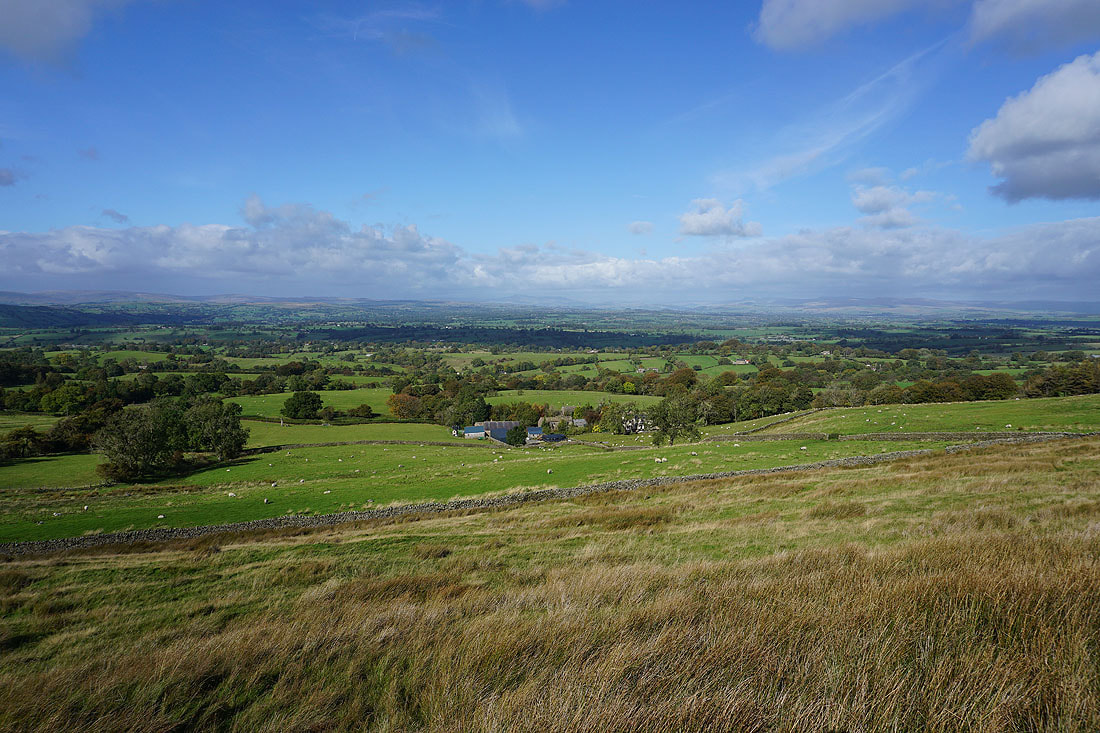
and north to the western fells of the Yorkshire Dales
Pendle Hill from Whytha Road
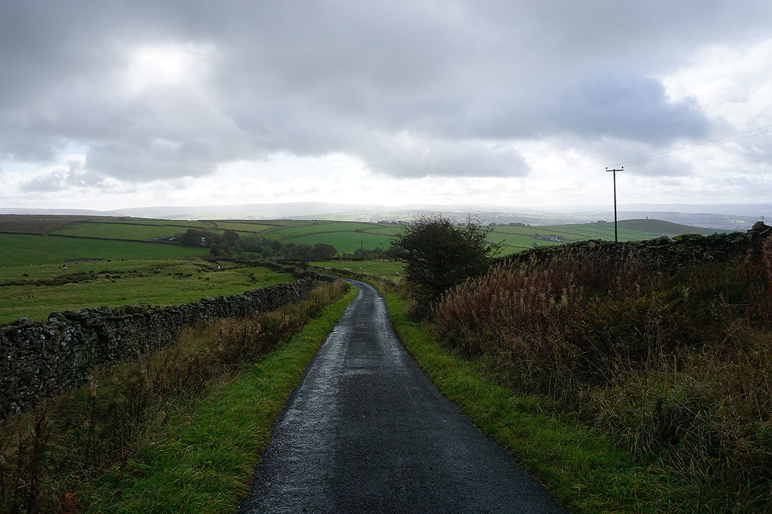
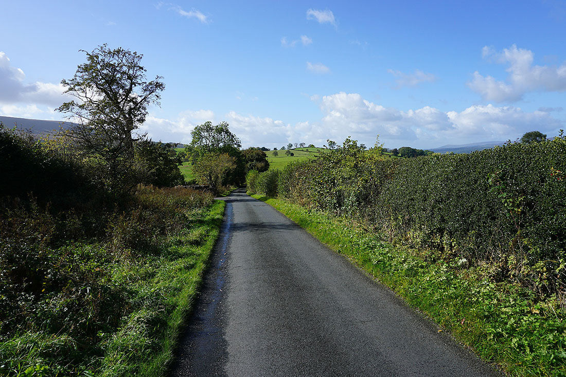
Heading west along Whytha Road..
..and then down Skeleron Lane
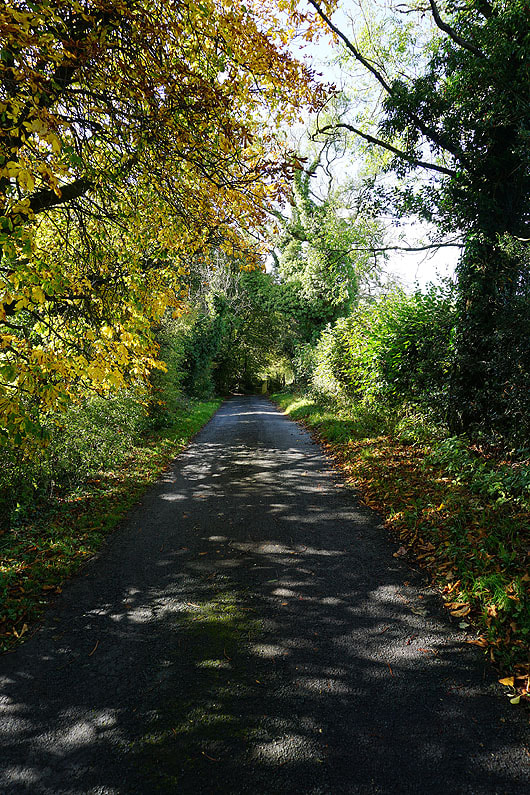
There's a bit of autumn colour in the trees
Passing through the hamlet of Ings End
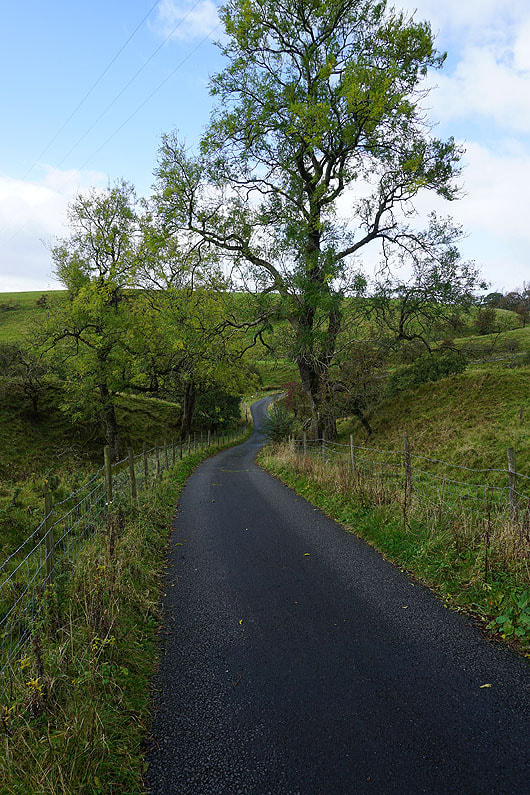
Heading up Twiston Lane..
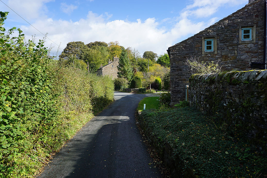
..and through the hamlet of Twiston
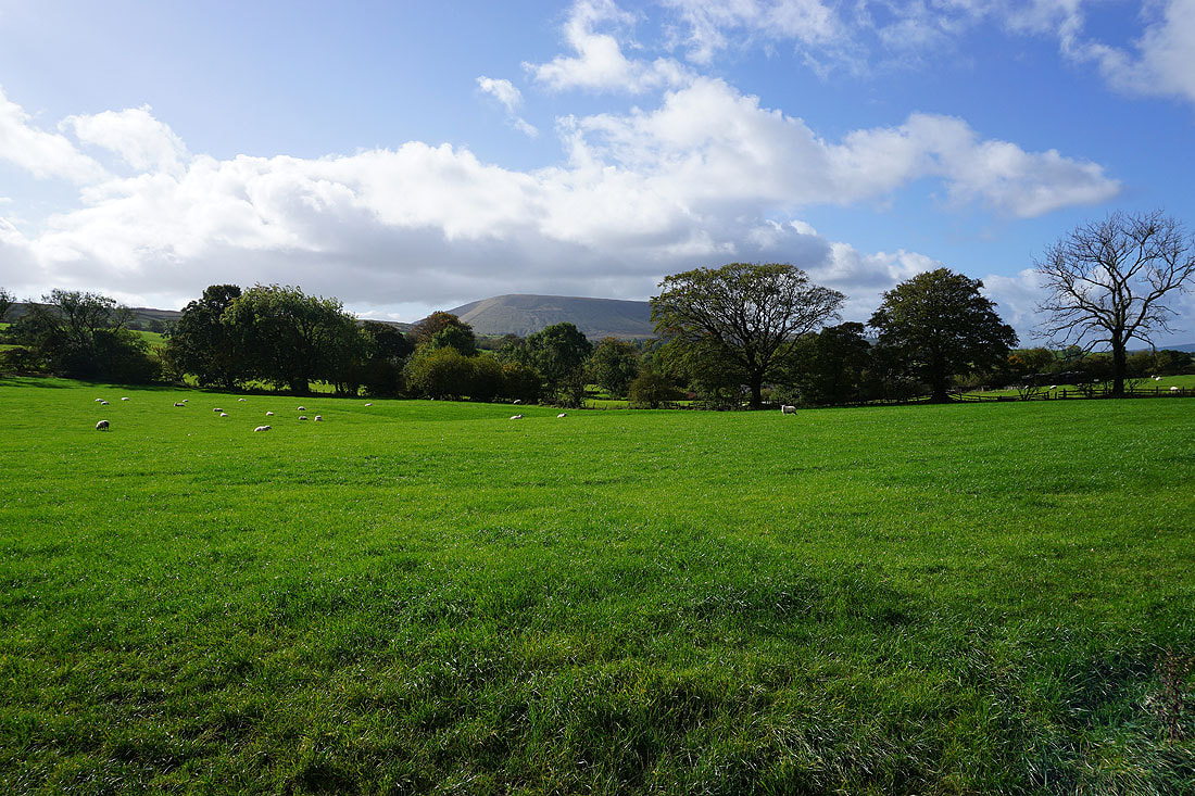
Pendle Hill starts to loom large in the hamlet of Twiston
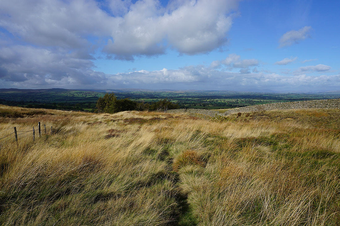
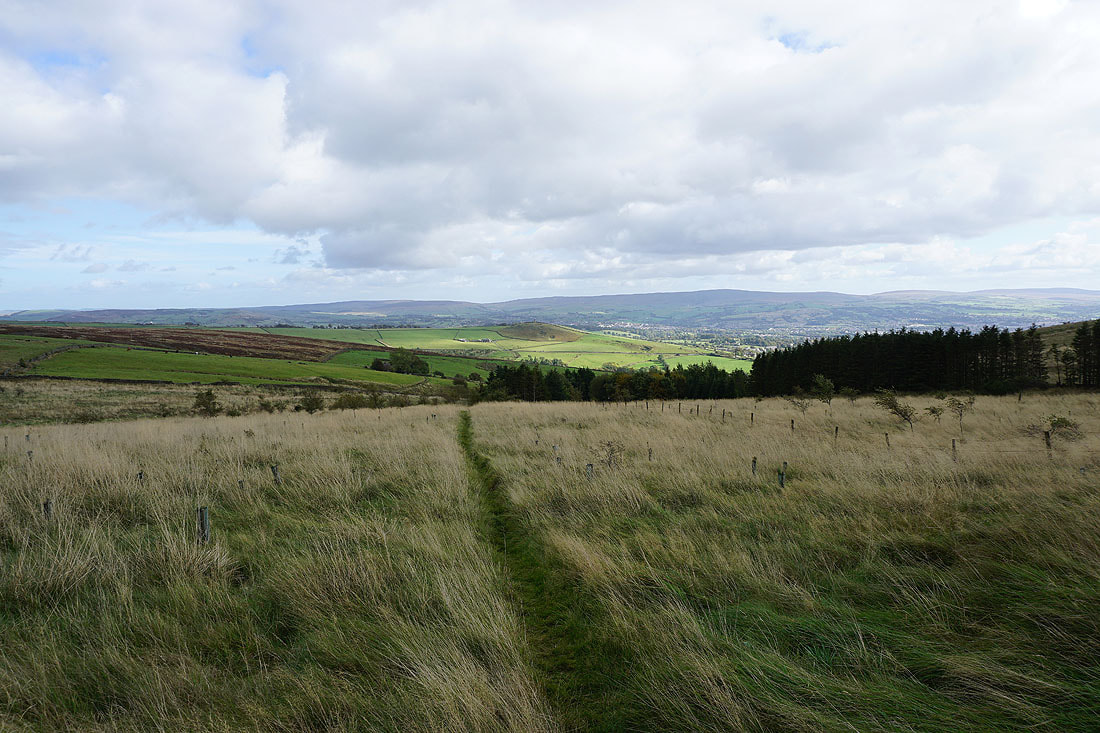
From Twiston Lane I take a footpath up onto Twiston Moor. There are great views across to the Forest of Bowland and the Yorkshire Dales as I gain height....
Looking east to Weets Hill
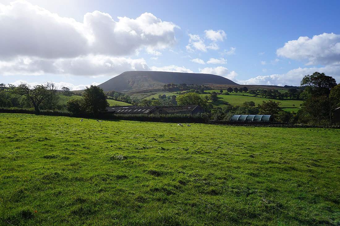
Pendle Hill's "Big End" from Twiston Moor
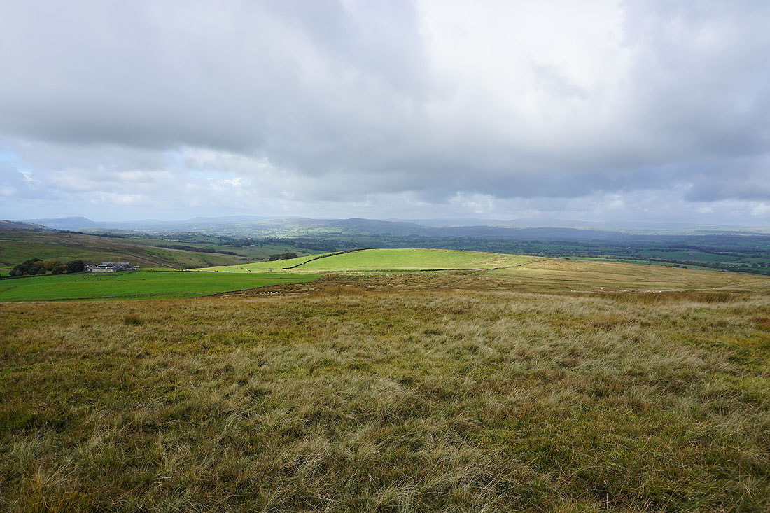
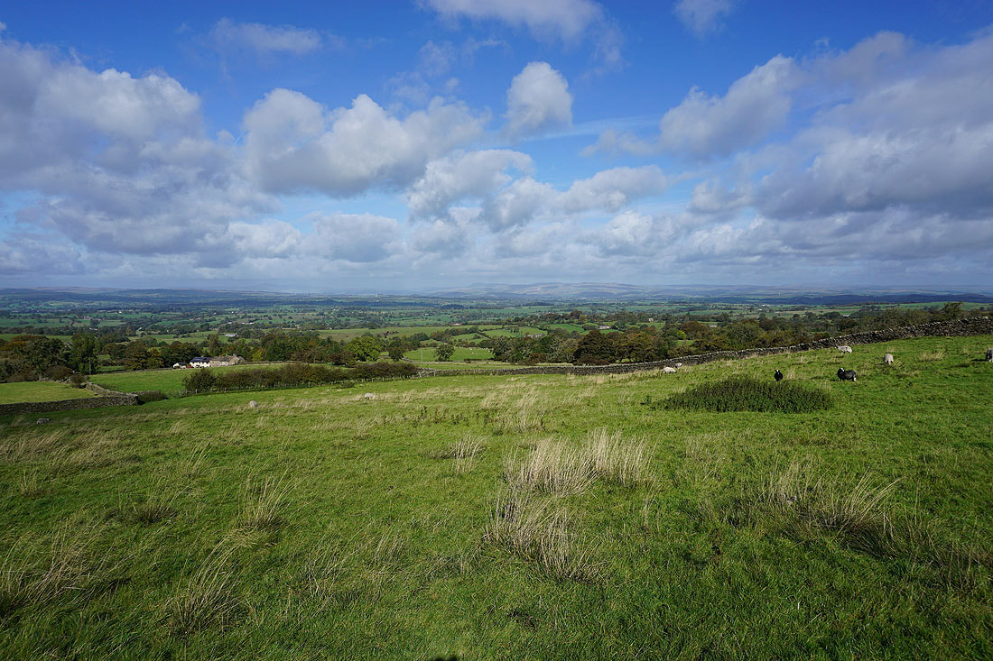
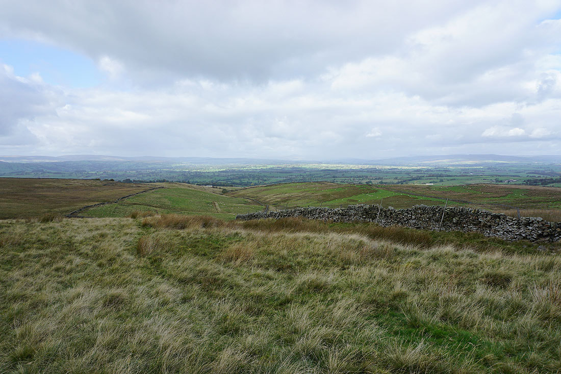
I take a track along the northern edge of the moor above Smithy Fold. More fantastic views across the Ribble Valley to the Forest of Bowland, and Ingleborough, Penyghent, the hills above Settle and Malham, and Great Whernside in the distance in the Yorkshire Dales. I could take them in for hours...
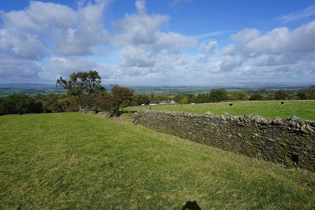
The Forest of Bowland and Ingleborough from the western end of Rimington Moor
Pendle Hill behind Twiston Moor after crossing Clough Beck
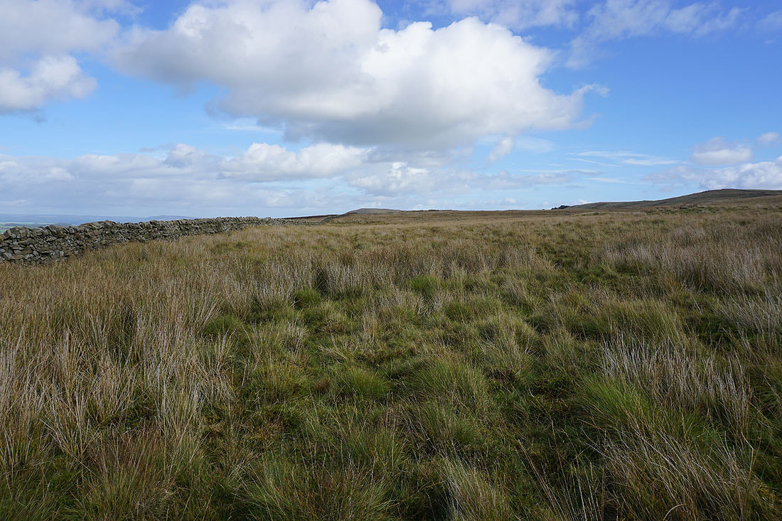
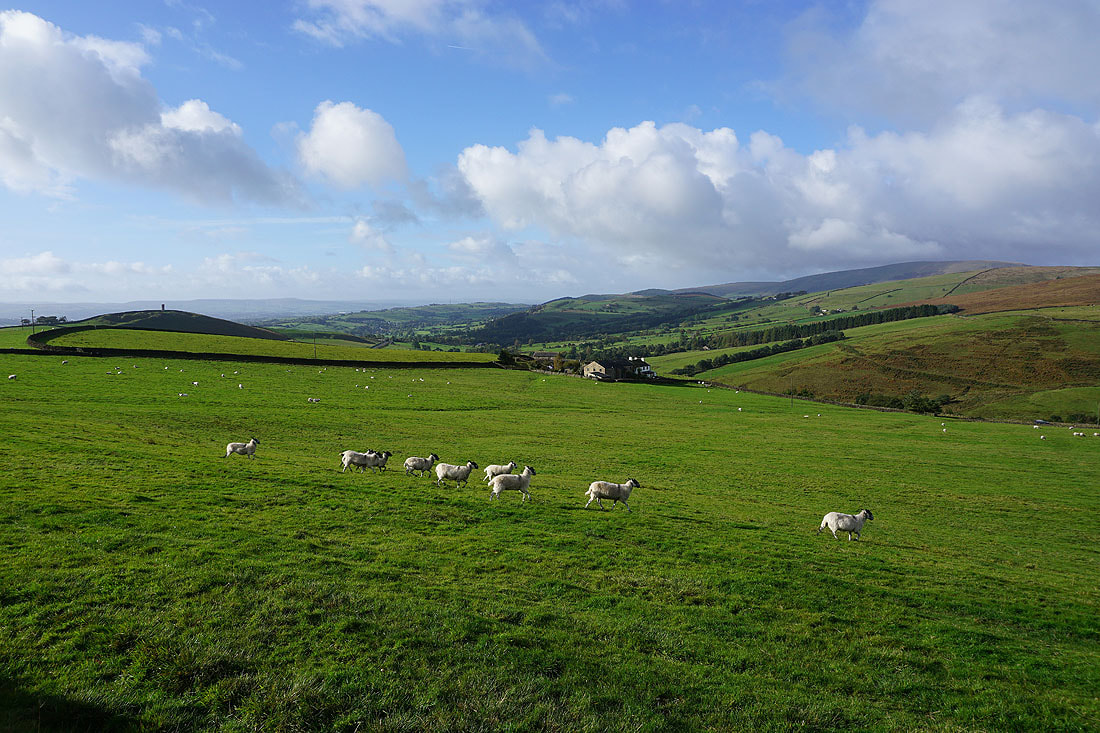
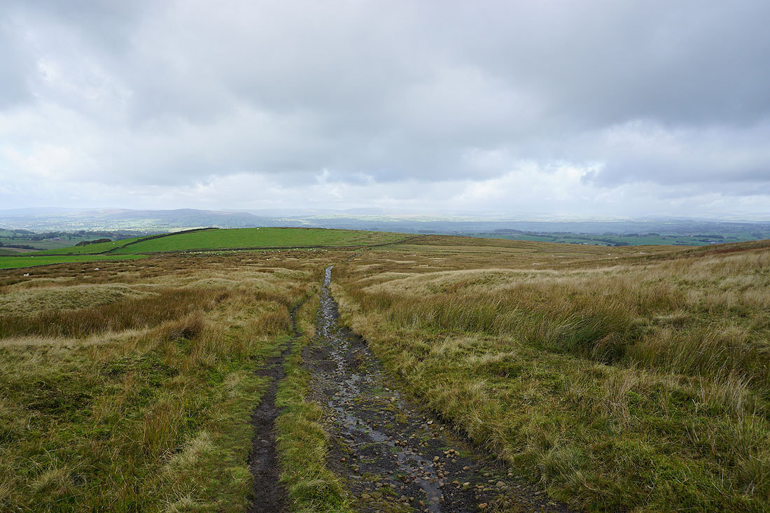
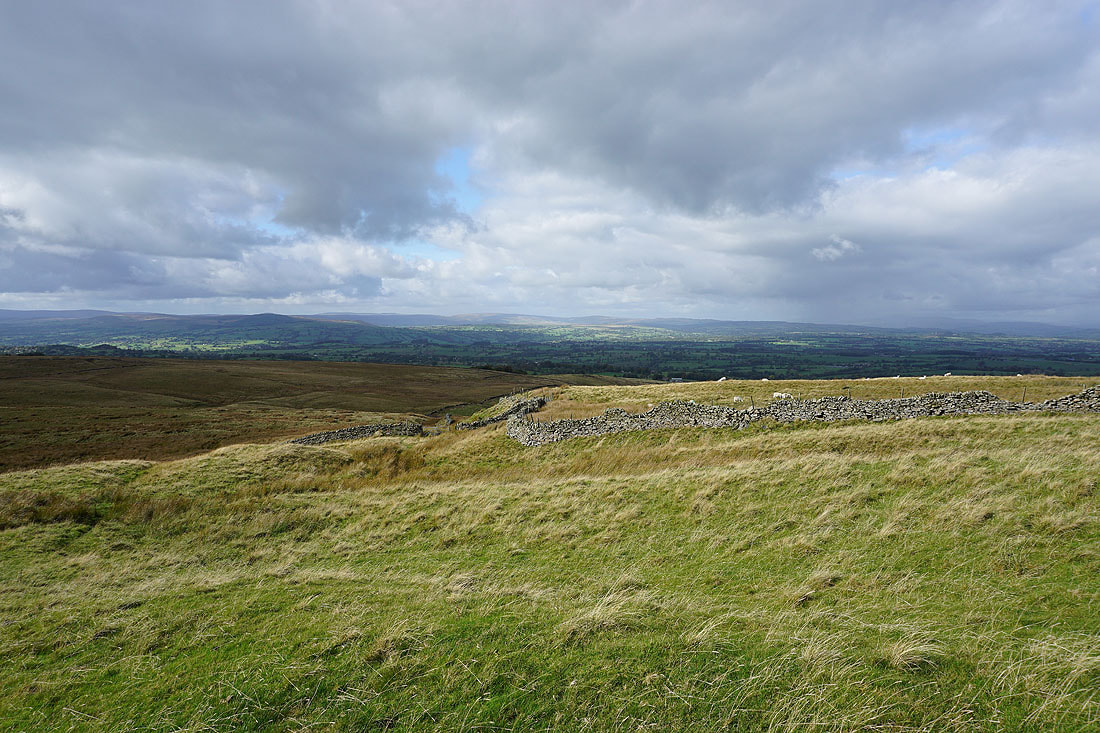
Heading east across Rimington Moor
Pendle Hill from Rimington Moor
The moors above Settle and Malham, and around Wharfedale, in the distance as I reach the eastern end of Rimington Moor
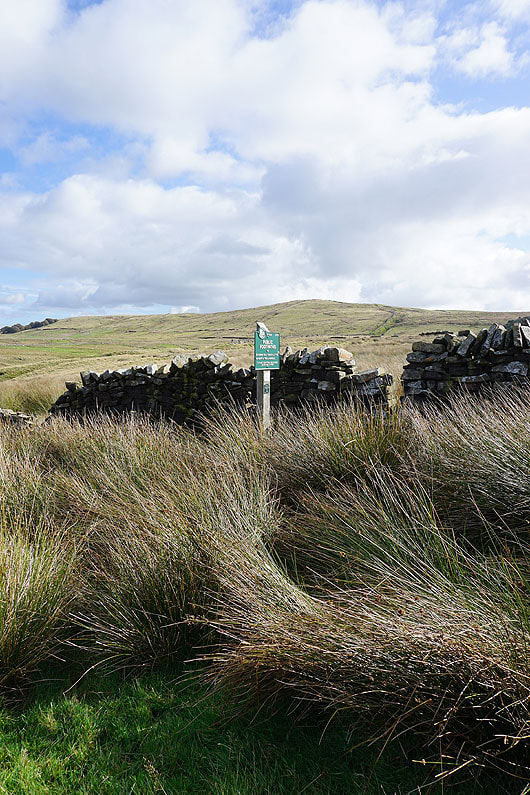
The first of a couple of Peak and Northern Footpath Society signs. This one directs me to Jackson's House and Craven Laithe.
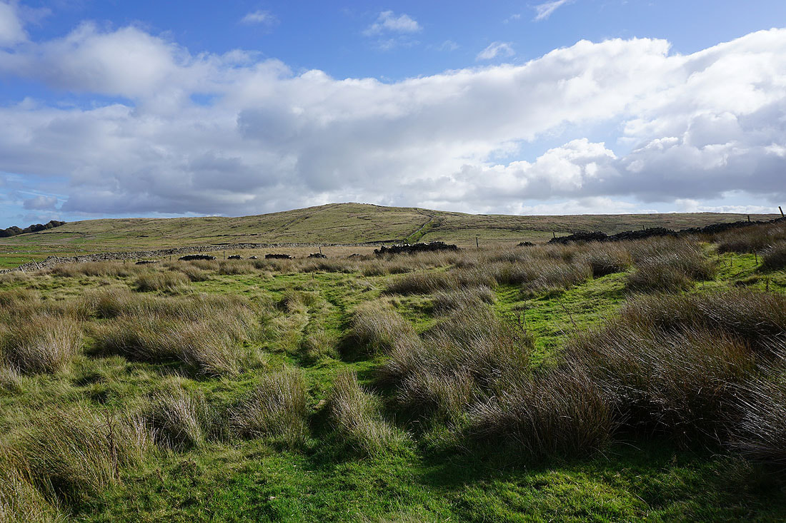
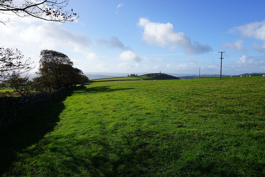
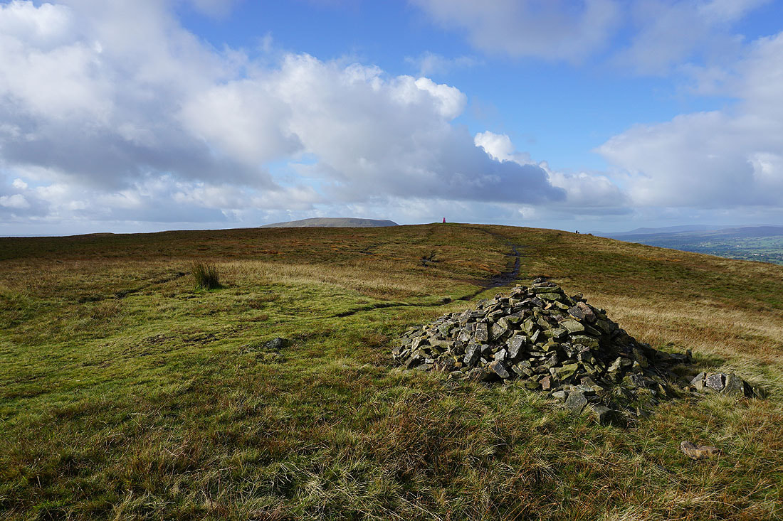
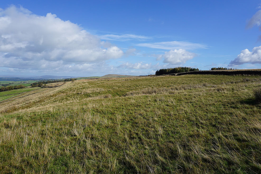
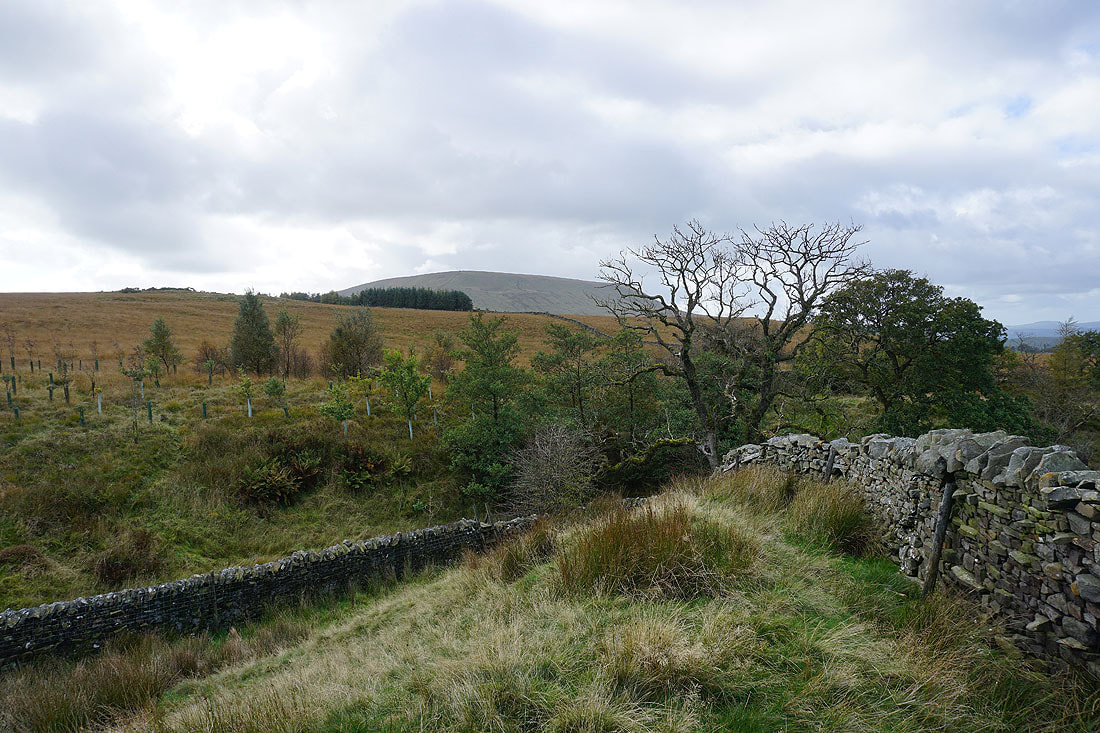
Wheathead Height above
Looking north to Ingleborough and Penyghent from the top of Tory Log Clough
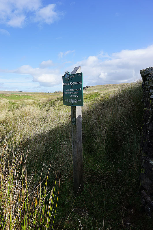
At the second sign I take the footpath to Jackson's House and Blacko
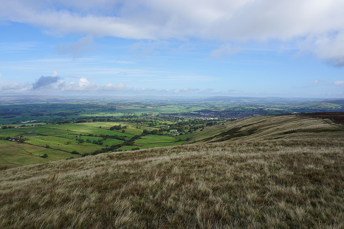
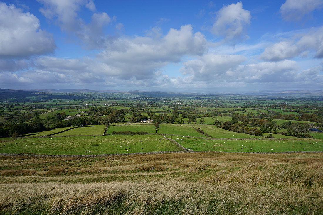
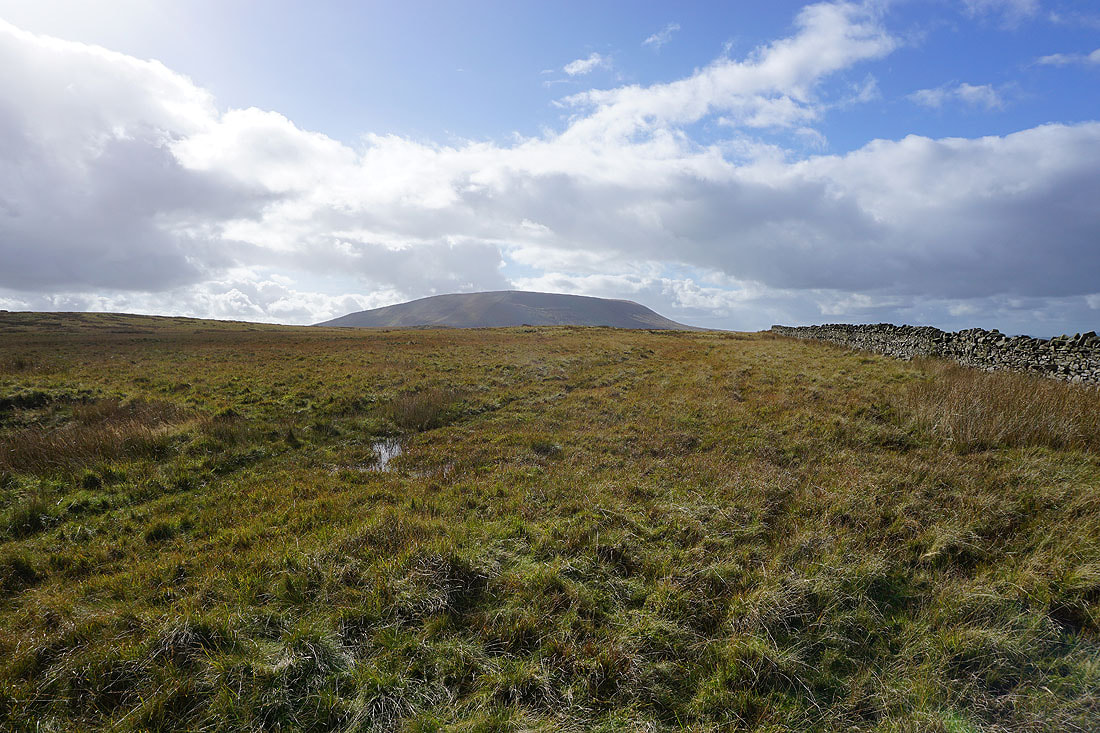
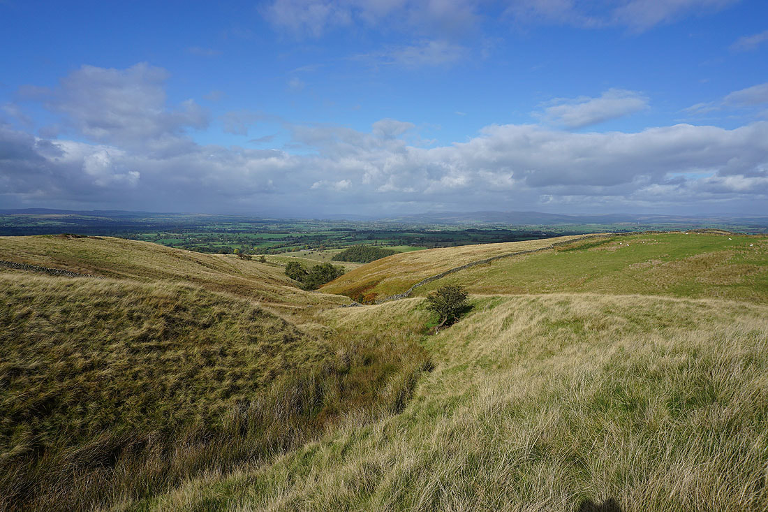
The view across the Ribble Valley to the Forest of Bowland, Ingleborough and Penyghent as I head south up onto Wheathead Height
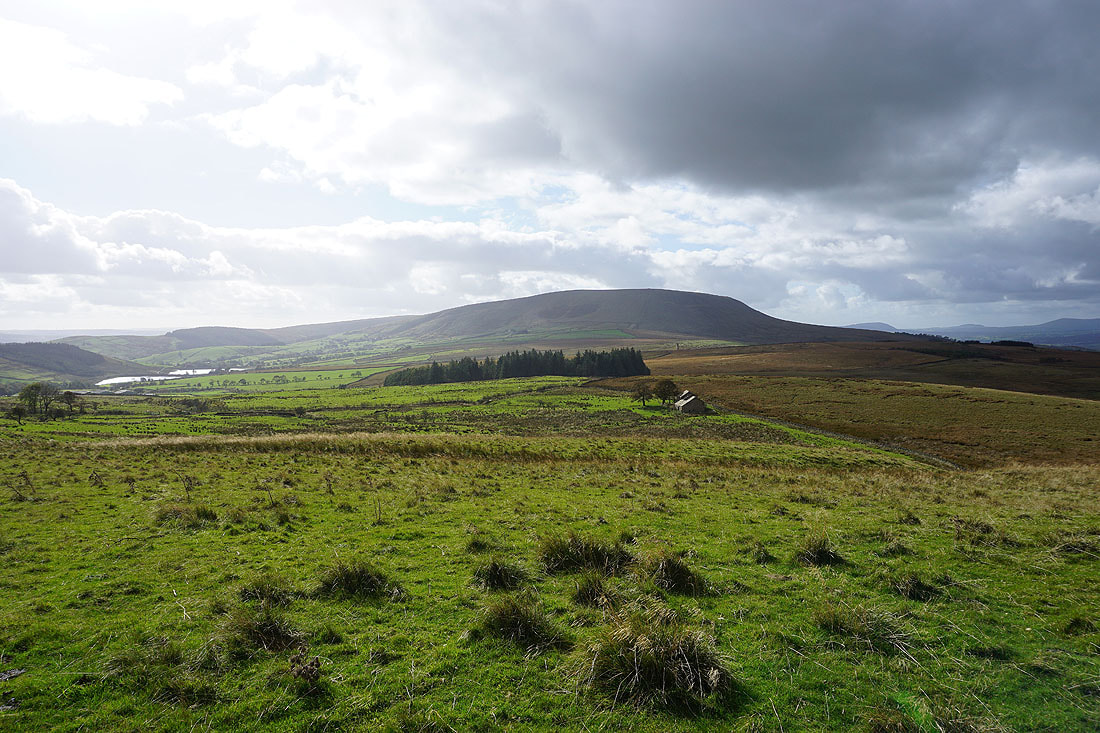
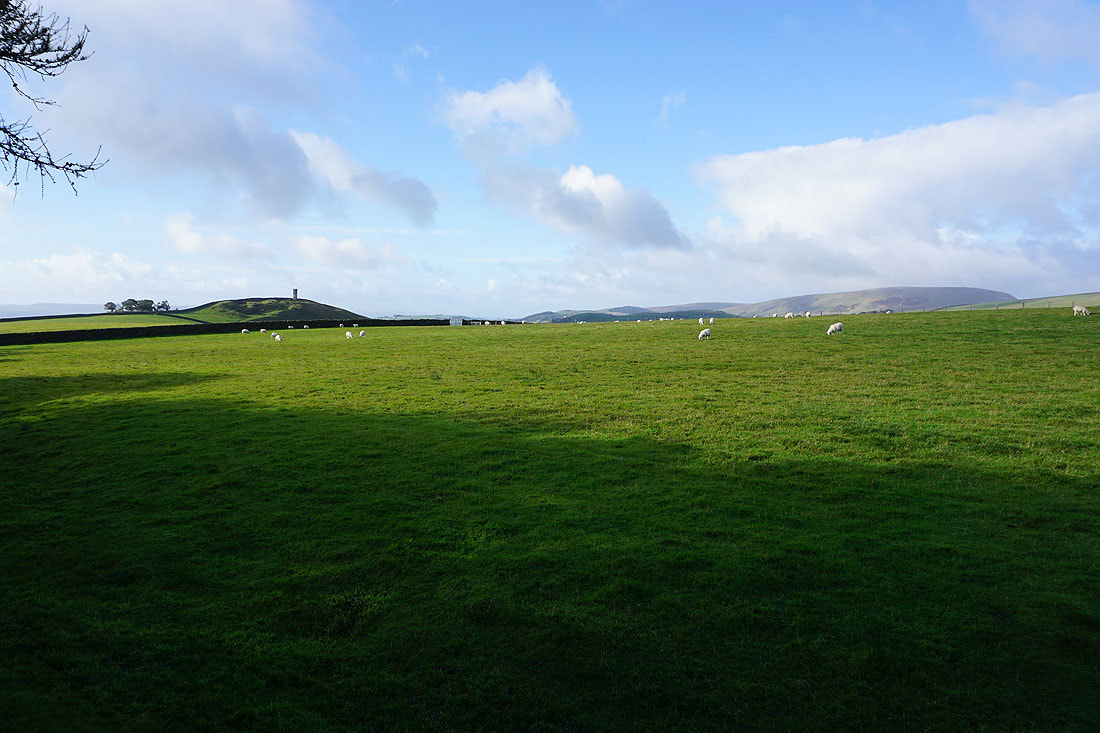
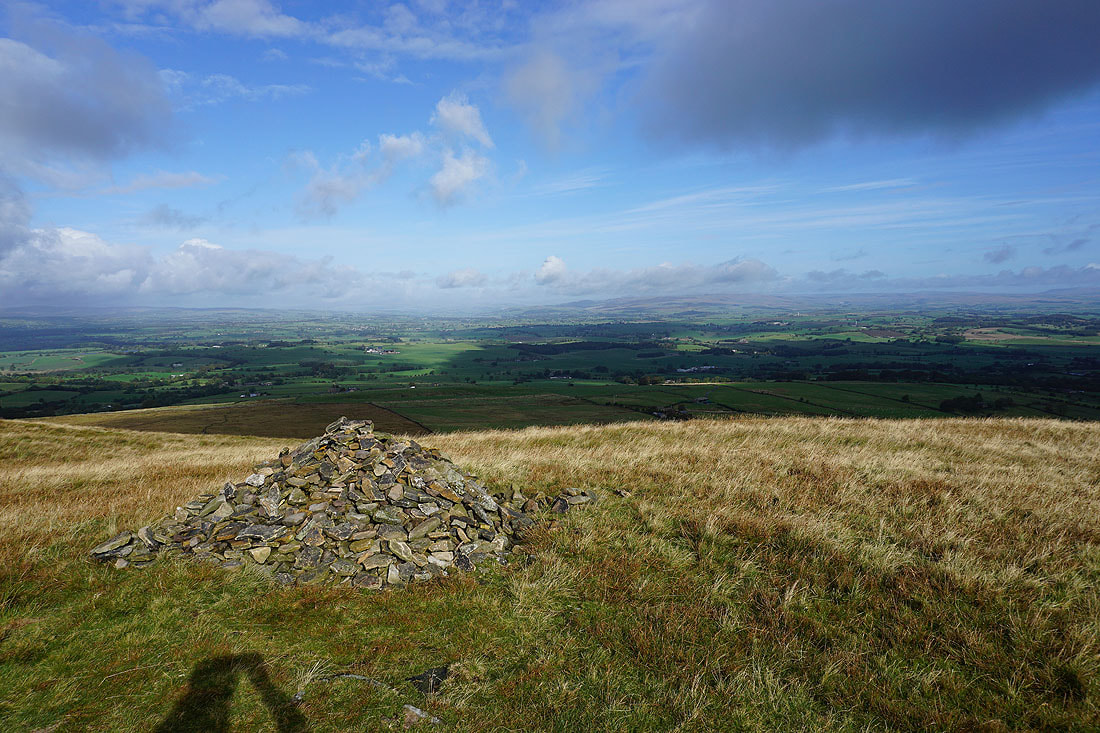
The Black Moss Reservoirs, Pendle Hill, and the ruins of Firber House from Wheathead Height
One last shot of the view to the north
Ickornshaw Moor and Boulsworth Hill in the distance as I take the footpath towards Jackson's House from Wheathead Height
Heading down to Higher Wheathead Farm
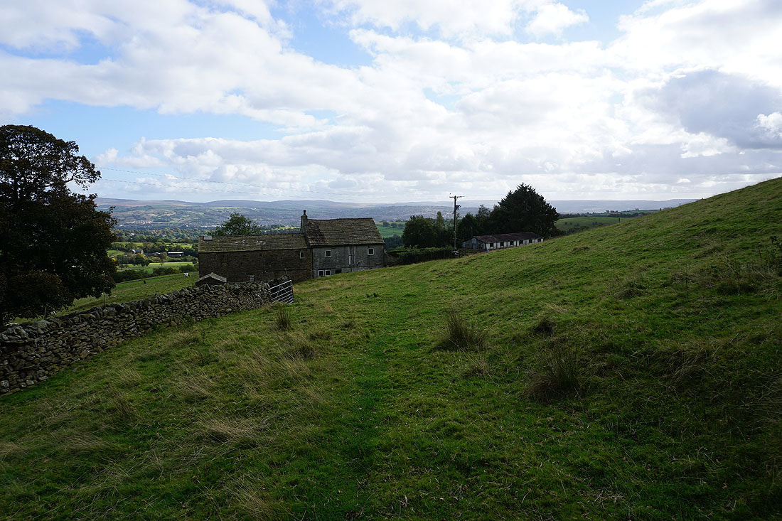
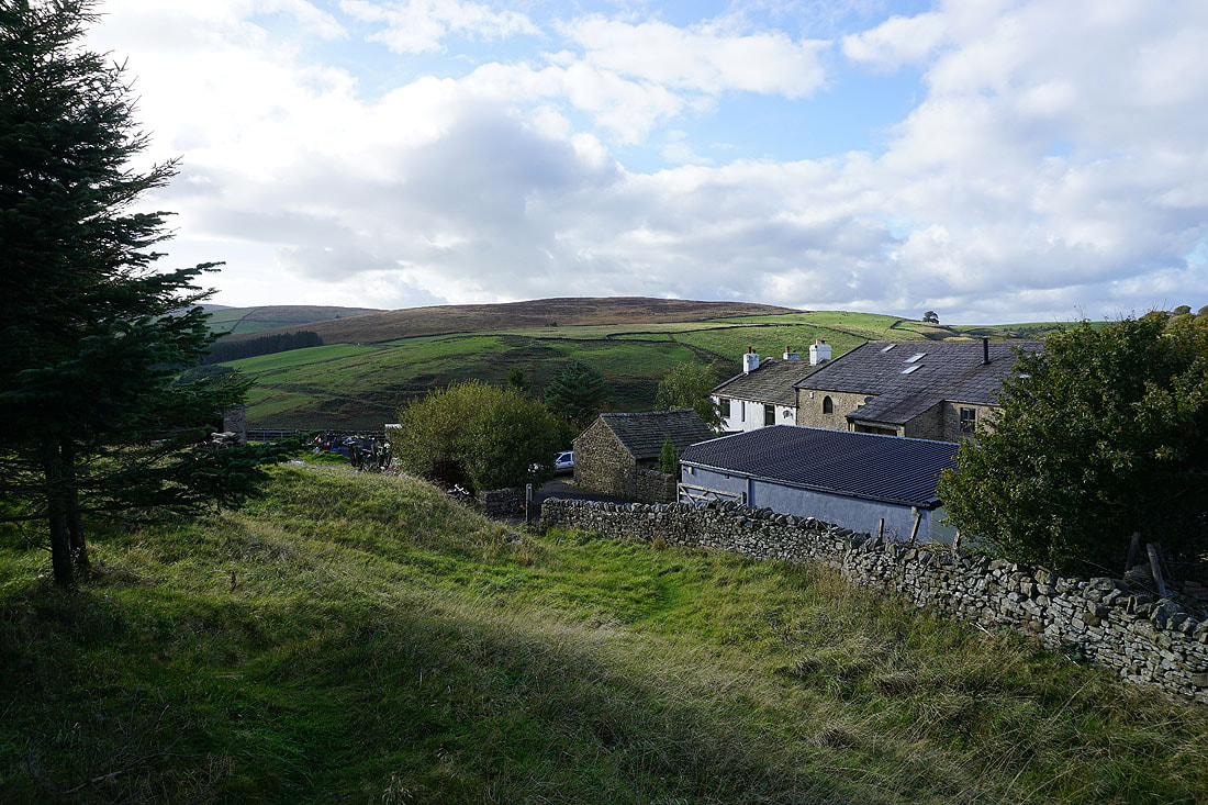
At Higher Wheathead Farm
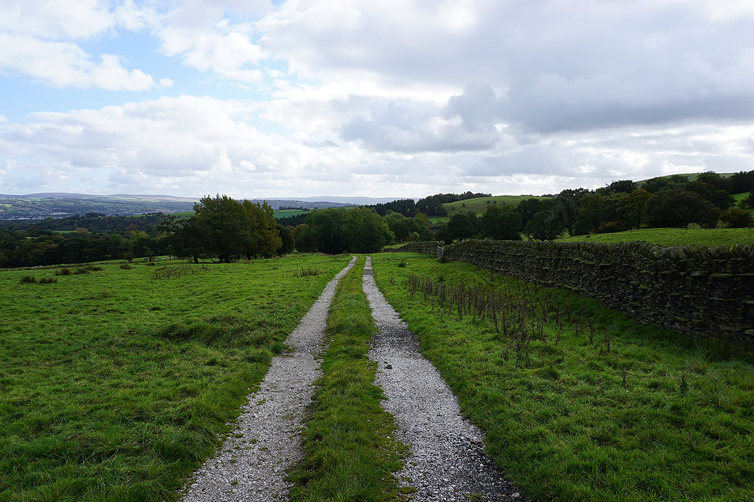
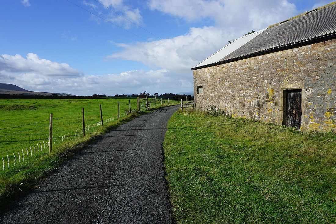
From Higher Wheathead Farm I walk down a track..
..to Wheathead Lane at Lanefield
From Lanefield I walk down Wheathead Lane to the bridge over Admergill Water, where I take the Pendle Way north to Admergill Hall Farm
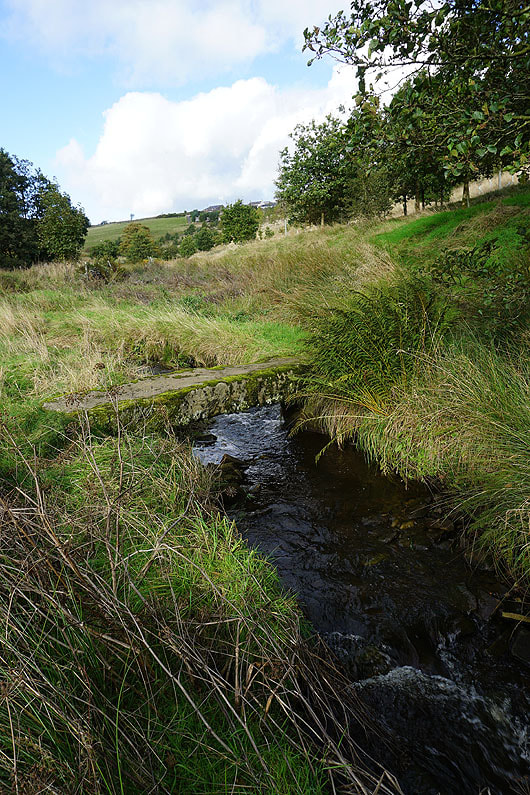
Crossing Admergill Water
Following the Pendle Way past Admergill Hall Farm, and then up the valley of Admergill Water...
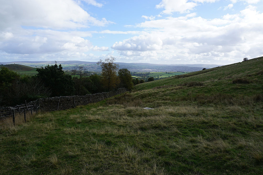
Looking back down the valley of Admergill Water
At Admergill Pasture Cottage
Blacko Hill and Pendle Hill
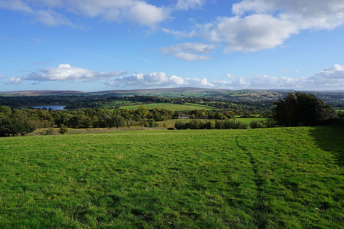
Ickornshaw Moor, Foulridge Lower Reservoir and Boulsworth Hill as I follow the path down to Barnoldswick Road
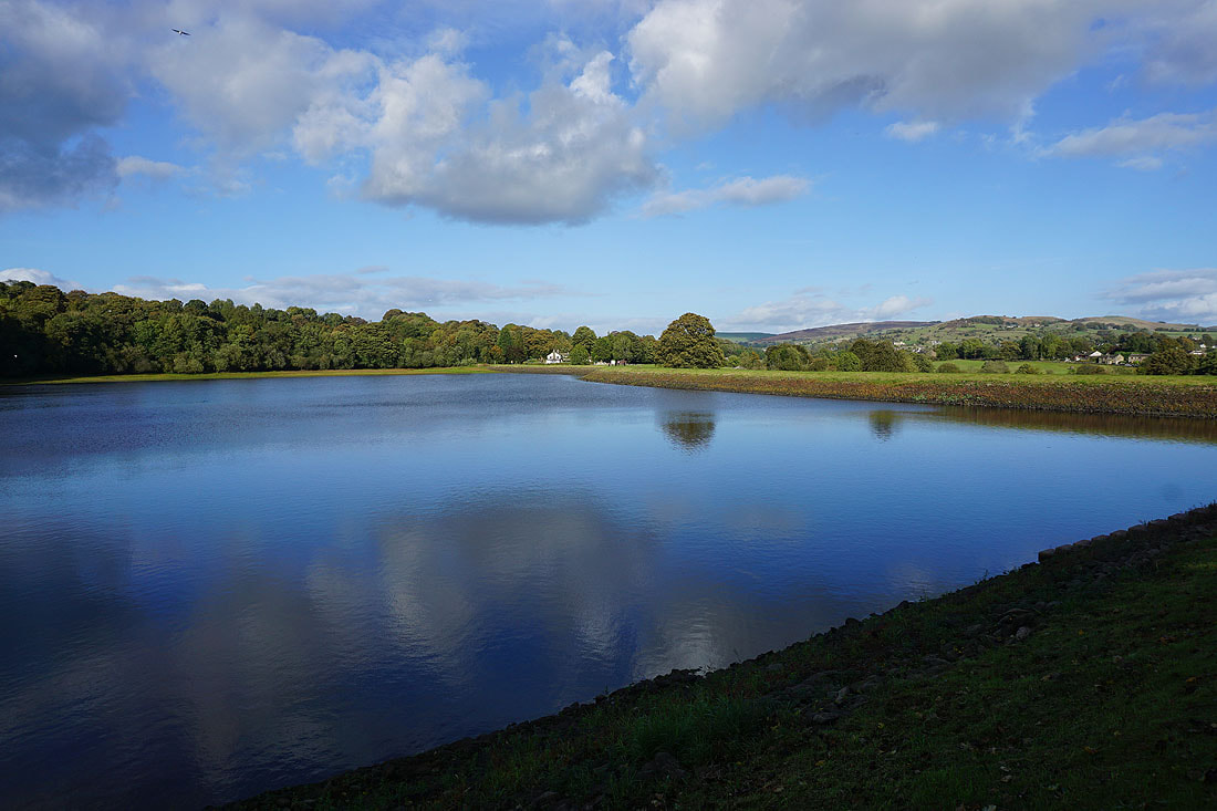
Reflections in Slipper Hill Reservoir
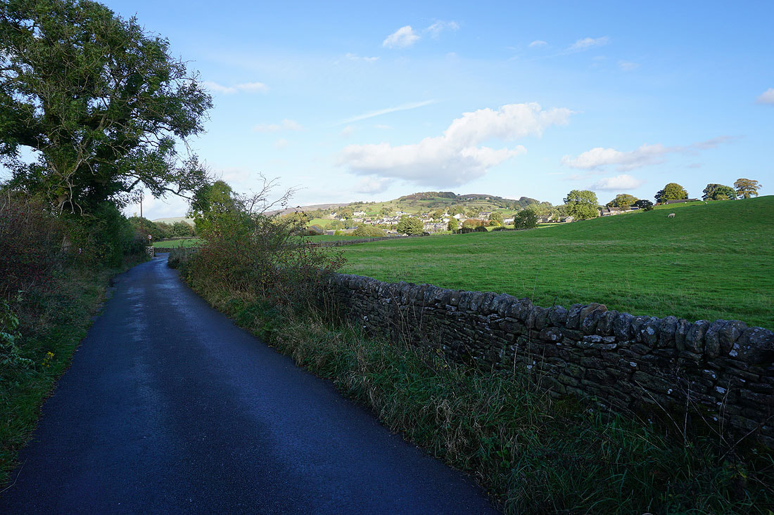
On Reedymoor Lane back to Foulridge
A fine end to the afternoon as I return to Foulridge