8th October 2023 - Great Manshead Hill
Walk Details
Distance walked: 10.2 miles
Total ascent: 1611 ft
OS map used: OL21 - South Pennines
Time taken: 6 hrs
Route description: Church Bank Lane, Cragg Vale-Blackstone Edge Road-Calderdale Way-Marshaw Bank-High Lane-Coppy Nook Lane-Catherine House-Water Stalls Road-Great Manshead Hill-Manshead End-Greenwood Clough-A58-Blue Ball Road-Coal Gate Road-Slate Delfs Hill-Nook Lane-Crow Hill End Farm-Crow Hill-Water Stalls Road-High Stones Road-Coppy Nook Lane-Weather Hill Cottage-Cragg Road-Castle Gate-Church Bank Lane, Cragg Vale
For my second walk of the weekend I'm still in the South Pennines, but further from home in Cragg Vale, a side valley of Calderdale. The route that I ended up doing today wasn't the one that I intended to do when I set off. That had been to take in Great Manshead Hill on one side of Cragg Vale and then to cross the valley and head for Stoodley Pike. The first part to Great Manshead Hill was completed with no problems, but the boggy ground below the western slopes of Manshead End defeated me. Despite me having trekking poles with me I couldn't find a way across, and after about 15-20 minutes of trying I had to concede defeat, and work out an alternative route back to where I started. That was to use the country lanes below the eastern slopes of Great Manshead Hill to make my way north, take in Crow Hill, and then head down into Cragg Vale and back to where I started. Despite that issue I had a really enjoyable walk. There was lots of warm autumnal sunshine which helped the moorland colours look at their best, and with hindsight changing the route was probably a blessing in disguise as it was quite a bit longer.
After parking my car on Church Bank Lane in Cragg Vale I walked up to Blackstone Edge Road, then a short distance up this road to cross it and take a footpath up a track. I followed this uphill through woodland to Marshaw Bank, and then up to the track of High Lane, which I walked up to Coppy Nook Lane. I then walked up Coppy Nook Lane to its top, crossed the junction there, and took the bridleway opposite up past Catherine House to reach Water Stalls Road. This bridleway was followed south to access land, and from there a clear path took me across Great Manshead Hill and to the trig point on Manshead End. After finally accepting that I wasn't going to be able to get across the boggy ground below the western slopes of Manshead End, I took the permissive path down Greenwood Clough to reach the A58. I had a short walk east along the verge to Blue Ball Road, which I walked east along, then took Coal Gate Road north (a bench by the side of road enabled me to finally stop for lunch) until I reached Greave Head. I left the road here for a bridleway on the left up onto Slate Delfs Hill, then took another bridleway northeast down to Nook Lane, where I turned left and walked up to a right hand bend to take a bridleway uphill. I followed this up and across the hillside, passing Sandbeds Farm and then Crow Hill End Farm to reach access land, to then take a path up to the trig point on Crow Hill. After taking in the view I made my way back down to the bridleway, and followed it northwest to Water Stalls Road, where I turned right for a short walk to reach High Stones Road. I turned left here, walked along High Stones Road, took a bridleway on the right down to Coppy Nook Lane, then turned right and walked along Coppy Nook Lane to take a footpath on the left down a track to Weather Hill Cottage. The footpath took me through the grounds at the back of the property, then across the hillside to a track below Olde House Farm, which I followed downhill to Cragg Road. After a short walk south along the road I crossed it and took the track of Castle Gate down to a bridge over Cragg Brook. A footpath was followed south by Cragg Brook back to Church Bank Lane in Cragg Vale, where I'd parked my car.
Total ascent: 1611 ft
OS map used: OL21 - South Pennines
Time taken: 6 hrs
Route description: Church Bank Lane, Cragg Vale-Blackstone Edge Road-Calderdale Way-Marshaw Bank-High Lane-Coppy Nook Lane-Catherine House-Water Stalls Road-Great Manshead Hill-Manshead End-Greenwood Clough-A58-Blue Ball Road-Coal Gate Road-Slate Delfs Hill-Nook Lane-Crow Hill End Farm-Crow Hill-Water Stalls Road-High Stones Road-Coppy Nook Lane-Weather Hill Cottage-Cragg Road-Castle Gate-Church Bank Lane, Cragg Vale
For my second walk of the weekend I'm still in the South Pennines, but further from home in Cragg Vale, a side valley of Calderdale. The route that I ended up doing today wasn't the one that I intended to do when I set off. That had been to take in Great Manshead Hill on one side of Cragg Vale and then to cross the valley and head for Stoodley Pike. The first part to Great Manshead Hill was completed with no problems, but the boggy ground below the western slopes of Manshead End defeated me. Despite me having trekking poles with me I couldn't find a way across, and after about 15-20 minutes of trying I had to concede defeat, and work out an alternative route back to where I started. That was to use the country lanes below the eastern slopes of Great Manshead Hill to make my way north, take in Crow Hill, and then head down into Cragg Vale and back to where I started. Despite that issue I had a really enjoyable walk. There was lots of warm autumnal sunshine which helped the moorland colours look at their best, and with hindsight changing the route was probably a blessing in disguise as it was quite a bit longer.
After parking my car on Church Bank Lane in Cragg Vale I walked up to Blackstone Edge Road, then a short distance up this road to cross it and take a footpath up a track. I followed this uphill through woodland to Marshaw Bank, and then up to the track of High Lane, which I walked up to Coppy Nook Lane. I then walked up Coppy Nook Lane to its top, crossed the junction there, and took the bridleway opposite up past Catherine House to reach Water Stalls Road. This bridleway was followed south to access land, and from there a clear path took me across Great Manshead Hill and to the trig point on Manshead End. After finally accepting that I wasn't going to be able to get across the boggy ground below the western slopes of Manshead End, I took the permissive path down Greenwood Clough to reach the A58. I had a short walk east along the verge to Blue Ball Road, which I walked east along, then took Coal Gate Road north (a bench by the side of road enabled me to finally stop for lunch) until I reached Greave Head. I left the road here for a bridleway on the left up onto Slate Delfs Hill, then took another bridleway northeast down to Nook Lane, where I turned left and walked up to a right hand bend to take a bridleway uphill. I followed this up and across the hillside, passing Sandbeds Farm and then Crow Hill End Farm to reach access land, to then take a path up to the trig point on Crow Hill. After taking in the view I made my way back down to the bridleway, and followed it northwest to Water Stalls Road, where I turned right for a short walk to reach High Stones Road. I turned left here, walked along High Stones Road, took a bridleway on the right down to Coppy Nook Lane, then turned right and walked along Coppy Nook Lane to take a footpath on the left down a track to Weather Hill Cottage. The footpath took me through the grounds at the back of the property, then across the hillside to a track below Olde House Farm, which I followed downhill to Cragg Road. After a short walk south along the road I crossed it and took the track of Castle Gate down to a bridge over Cragg Brook. A footpath was followed south by Cragg Brook back to Church Bank Lane in Cragg Vale, where I'd parked my car.
Route map
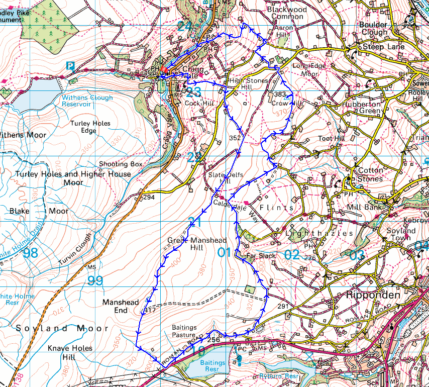
© Crown copyright. All rights reserved. License number PU 100034184.
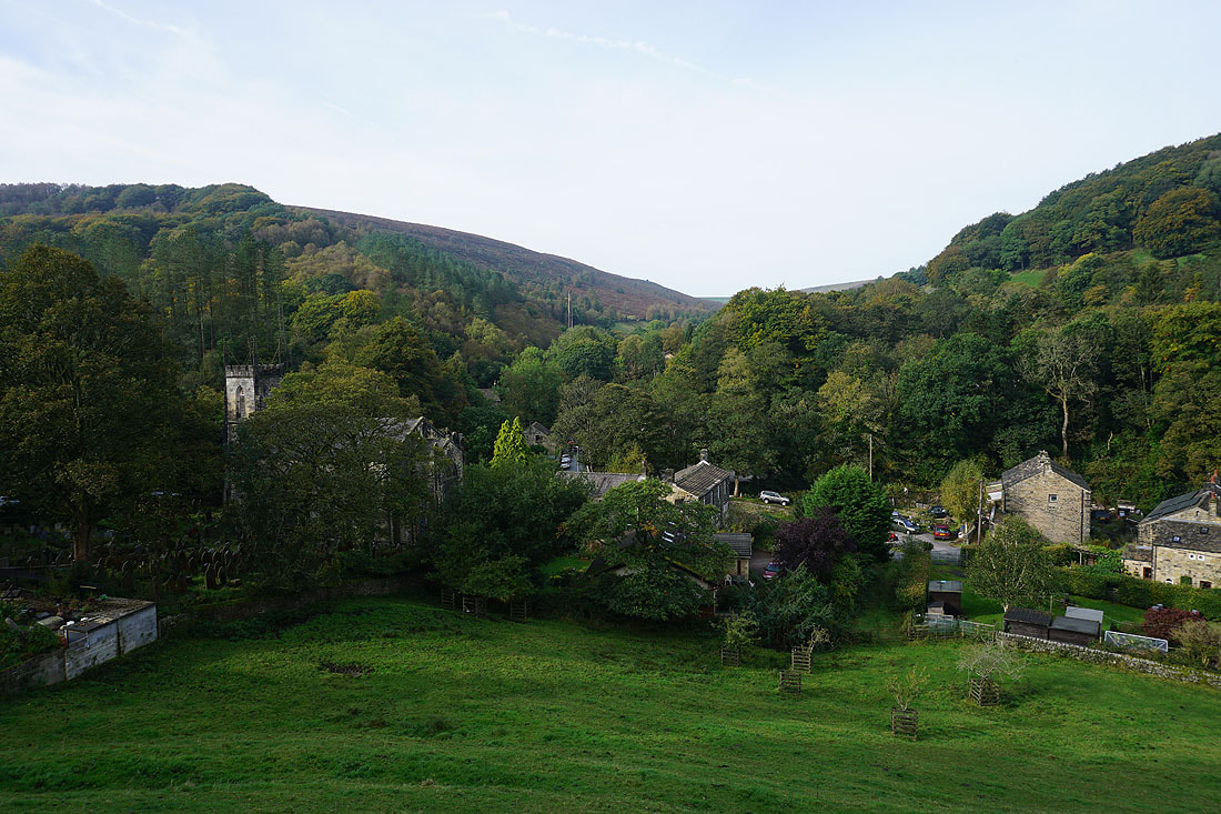
The church of St. John below as I walk up Church Bank Lane to Blackstone Edge Road
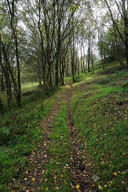
Having crossed Blackstone Edge Road, I head up Marshaw Bank on the Calderdale Way

Looking back across Cragg Vale to Bell House Moor as I walk up the track of High Lane
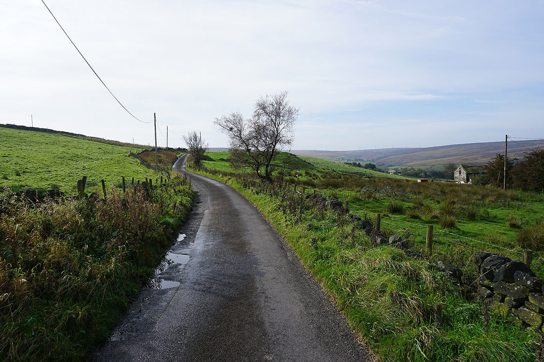
Walking up Coppy Nook Lane
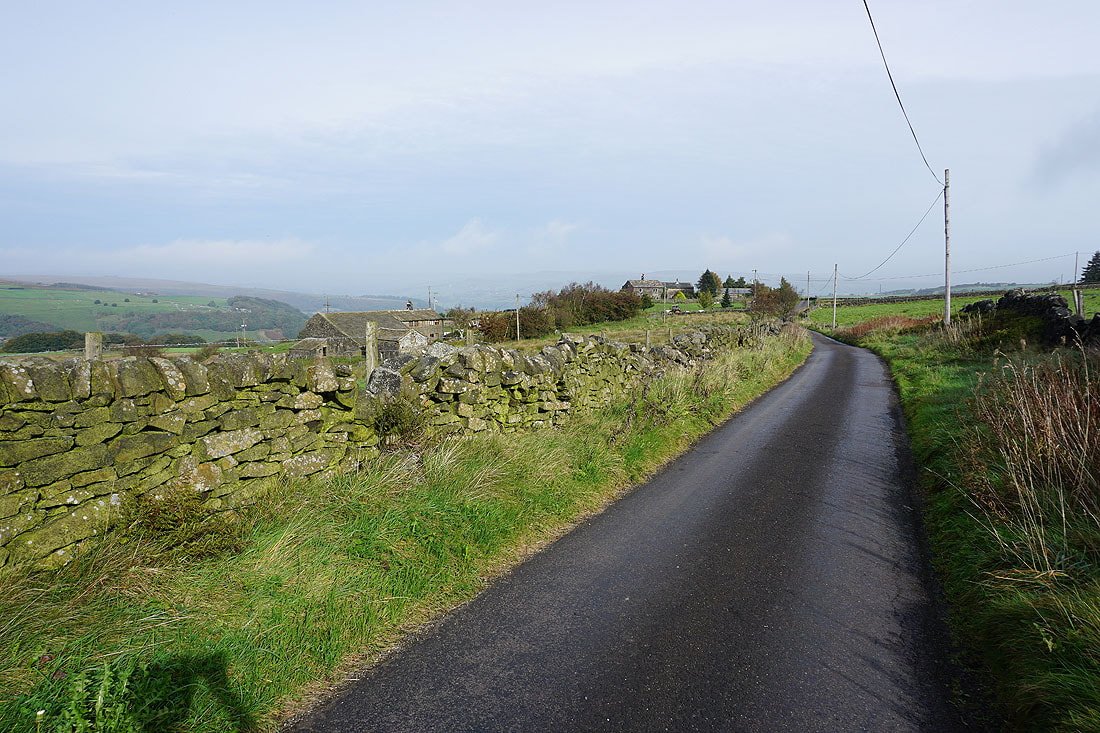
Looking back along Coppy Nook Lane
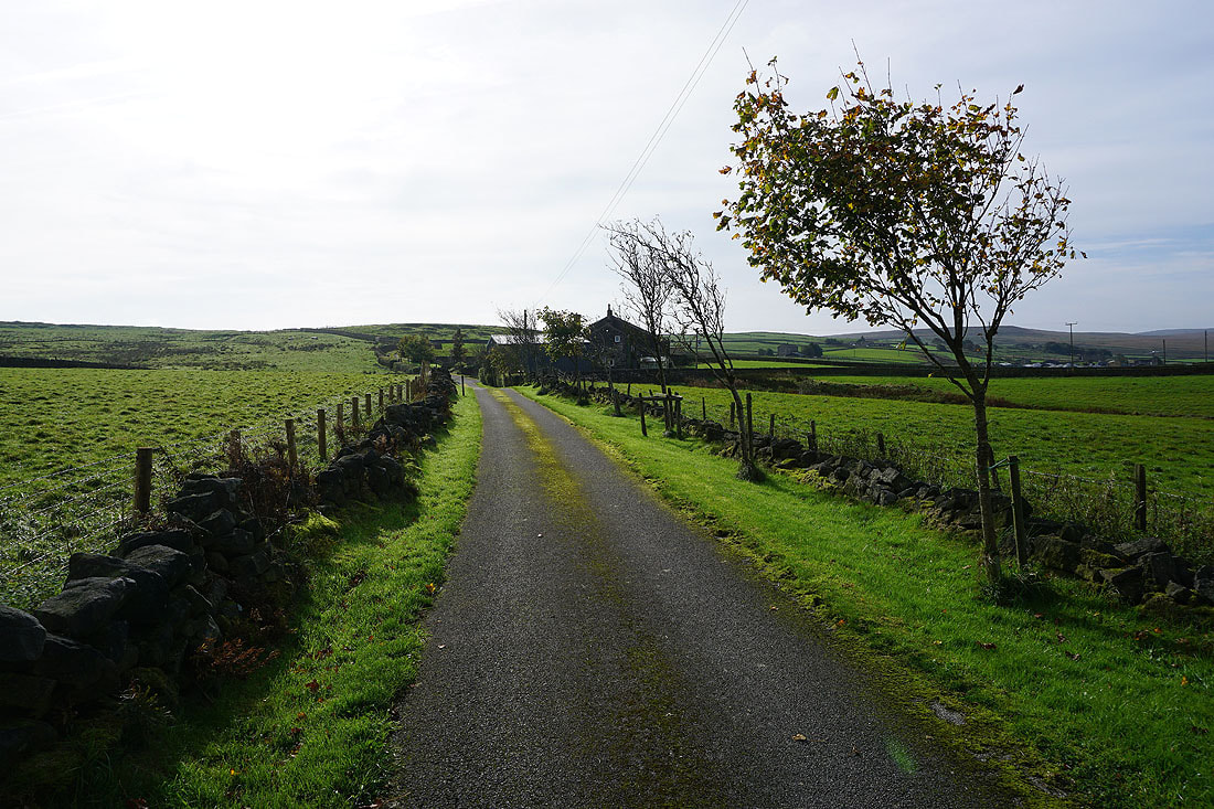
On the bridleway up past Catherine House to reach Water Stalls Road..
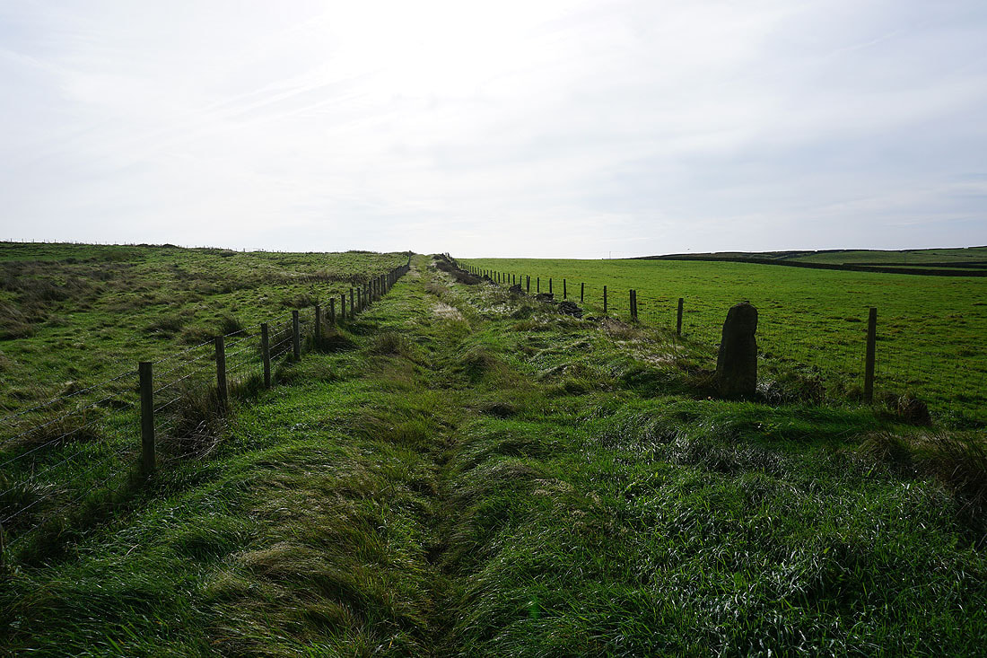
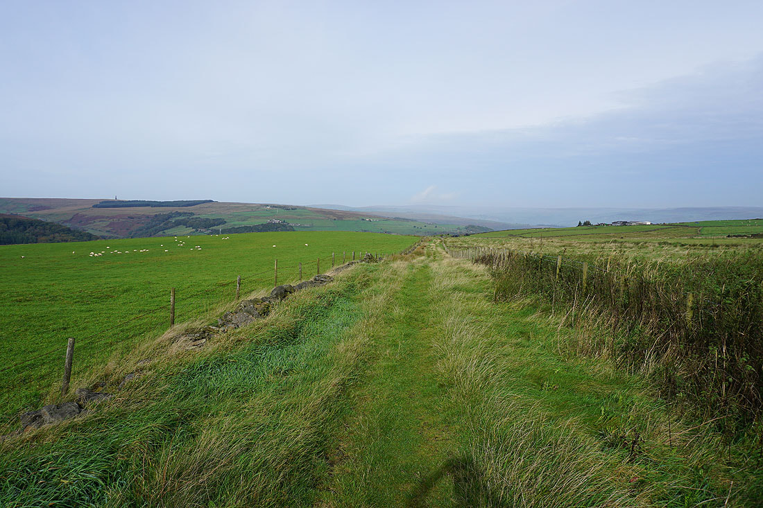
Looking north as I join Water Stalls Road to the moorland on the other side of Calderdale
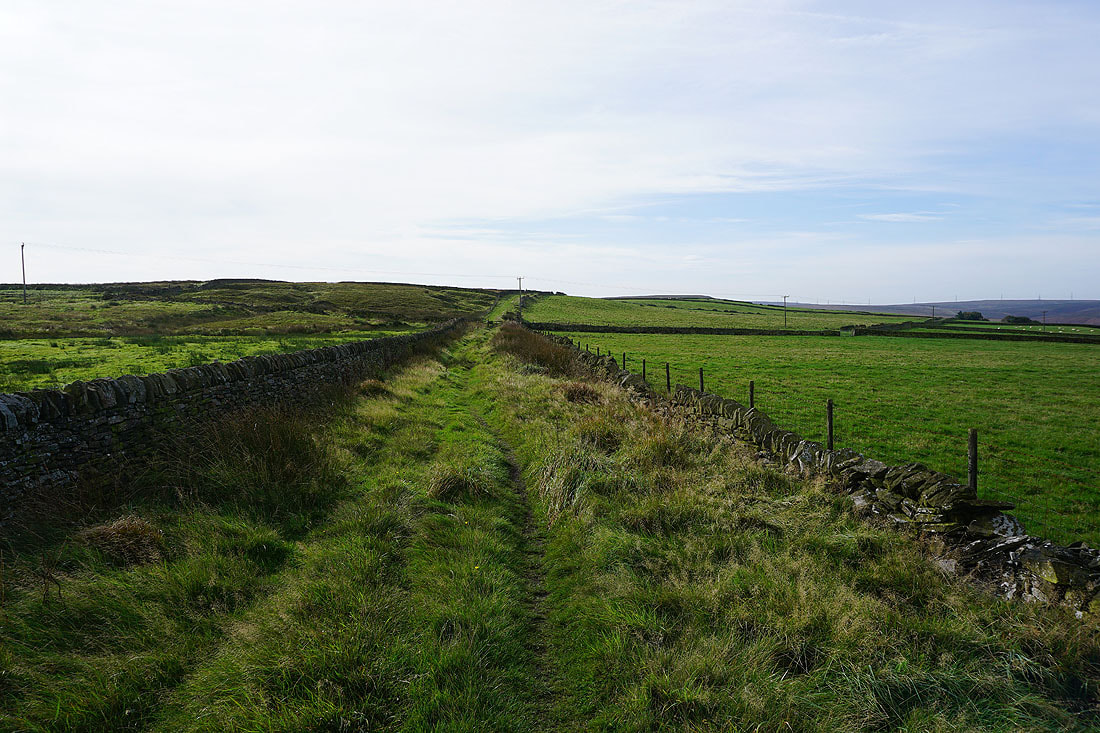
Heading south along the bridleway of Water Stalls Road
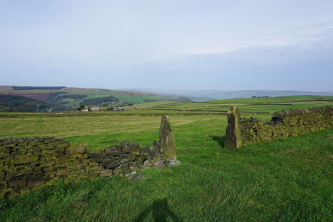
Behind me, I have a view across Cragg Vale to Bell House Moor..
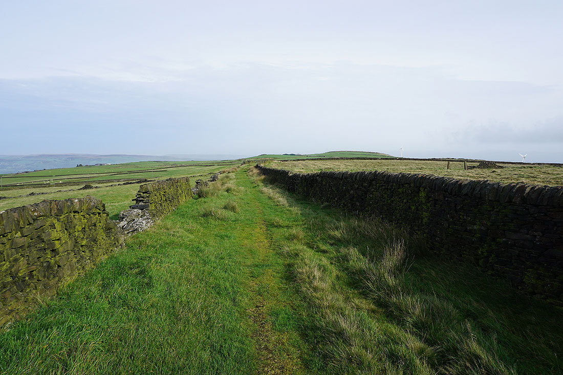
..and to Crow Hill on the right, which I'll visit later in the day
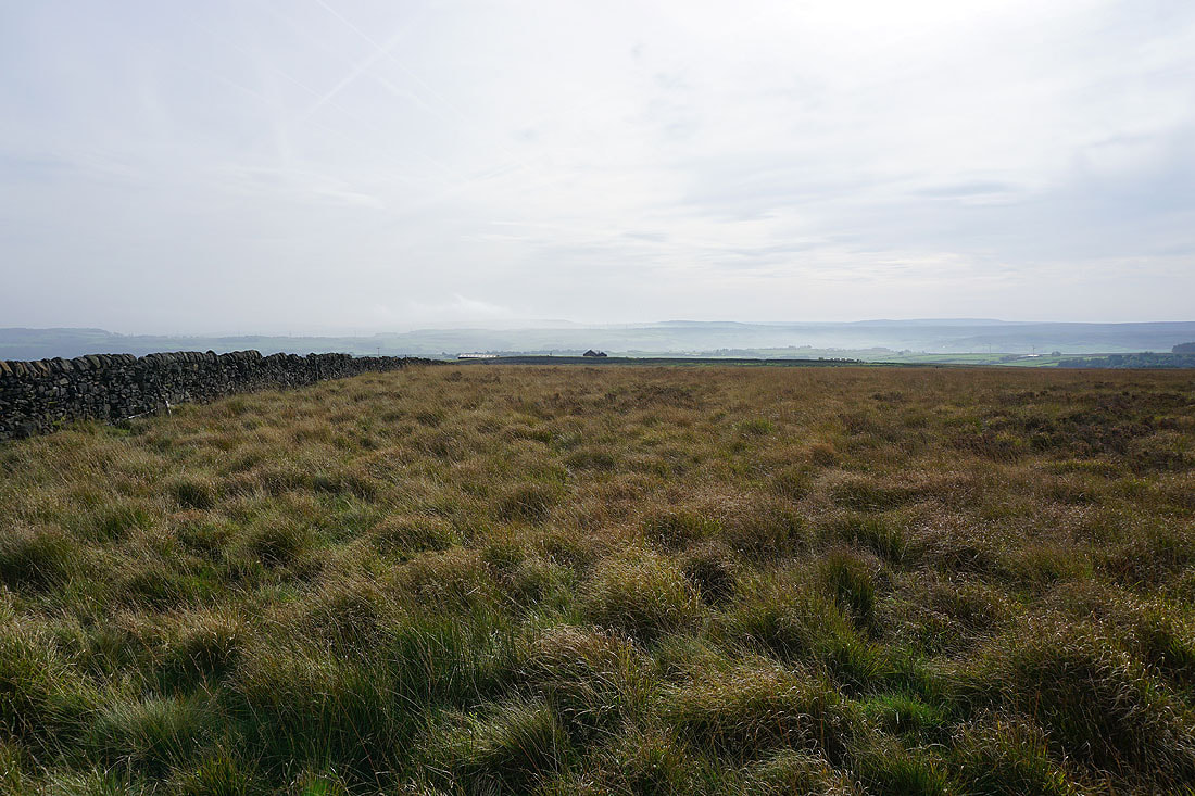
The rough moorland of Slate Delfs Hill

The southern end of Great Manshead Hill comes into view
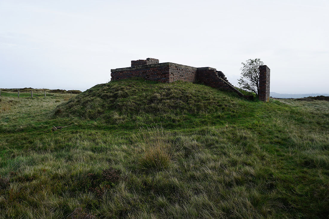
The remains of a WW2 decoy bunker
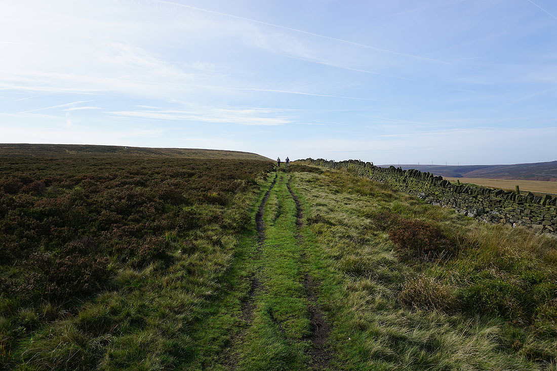
Heading up onto Great Manshead Hill
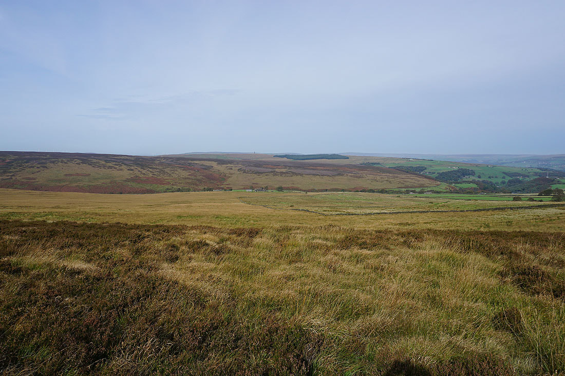
There are great views of the moorland around Cragg Vale on this beautiful autumn morning..
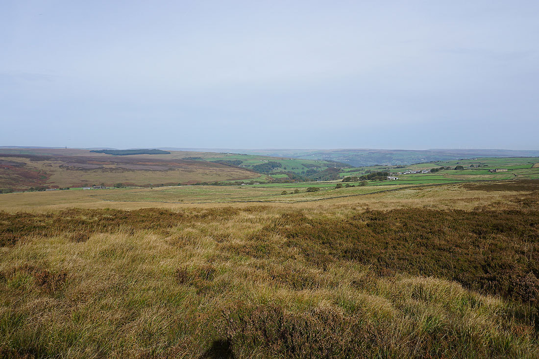
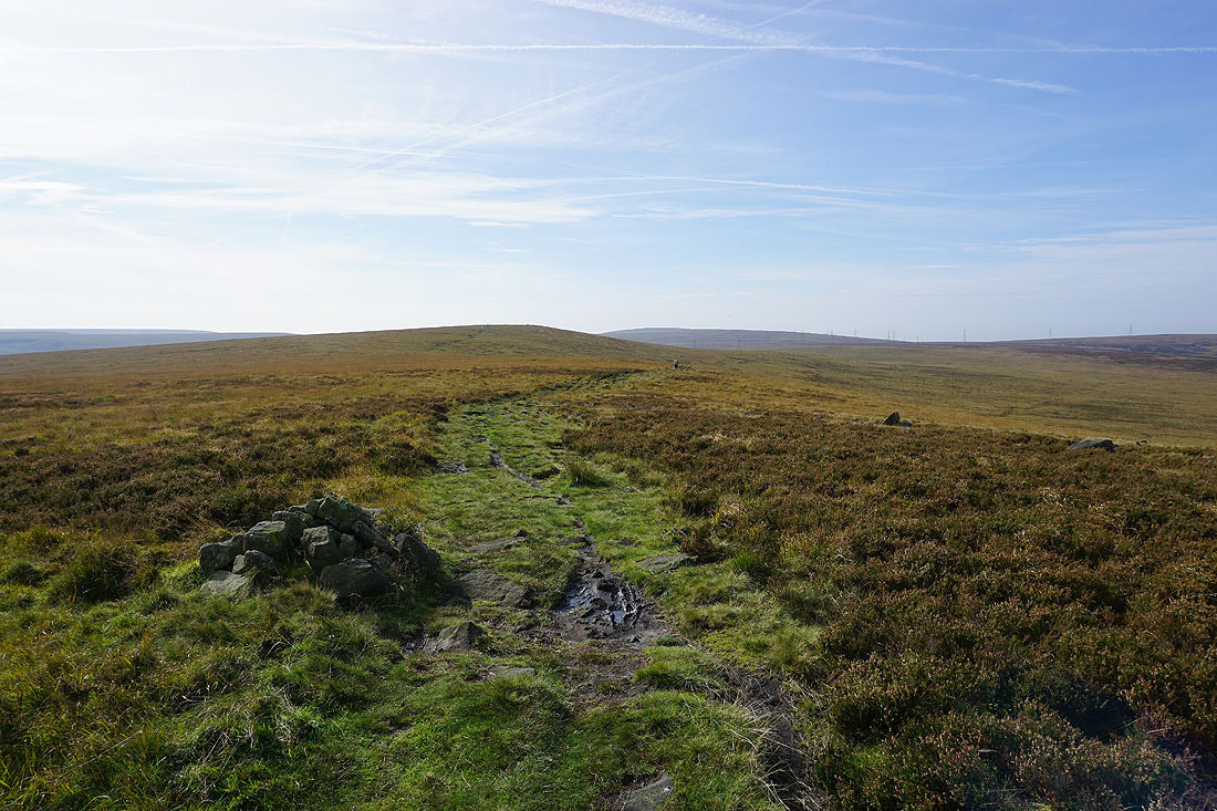
The trig point on Manshead End is on top of the hill just ahead
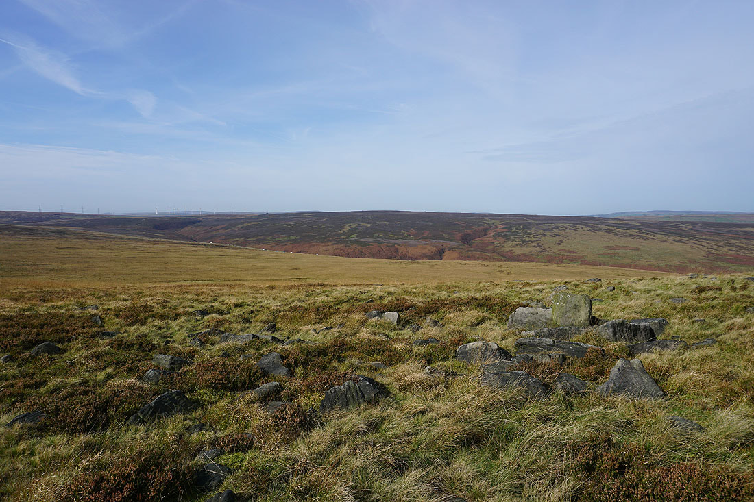
Looking west across Turvin Clough to Blake Moor
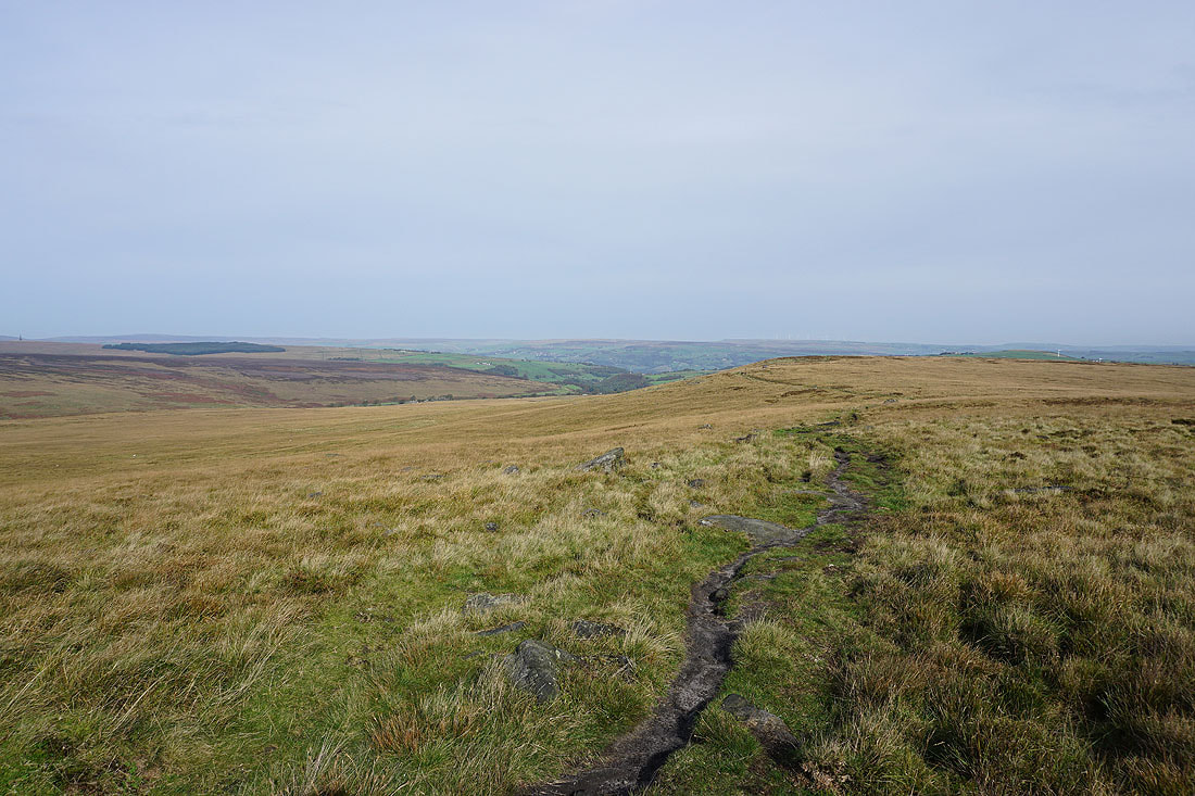
and down Cragg Vale to the moorland around Hebden Bridge and Mytholmroyd in Calderdale
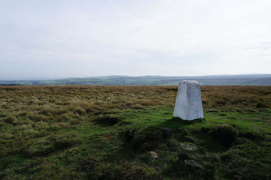
At the trig point on Manshead End, with the moorland around Rishworth behind
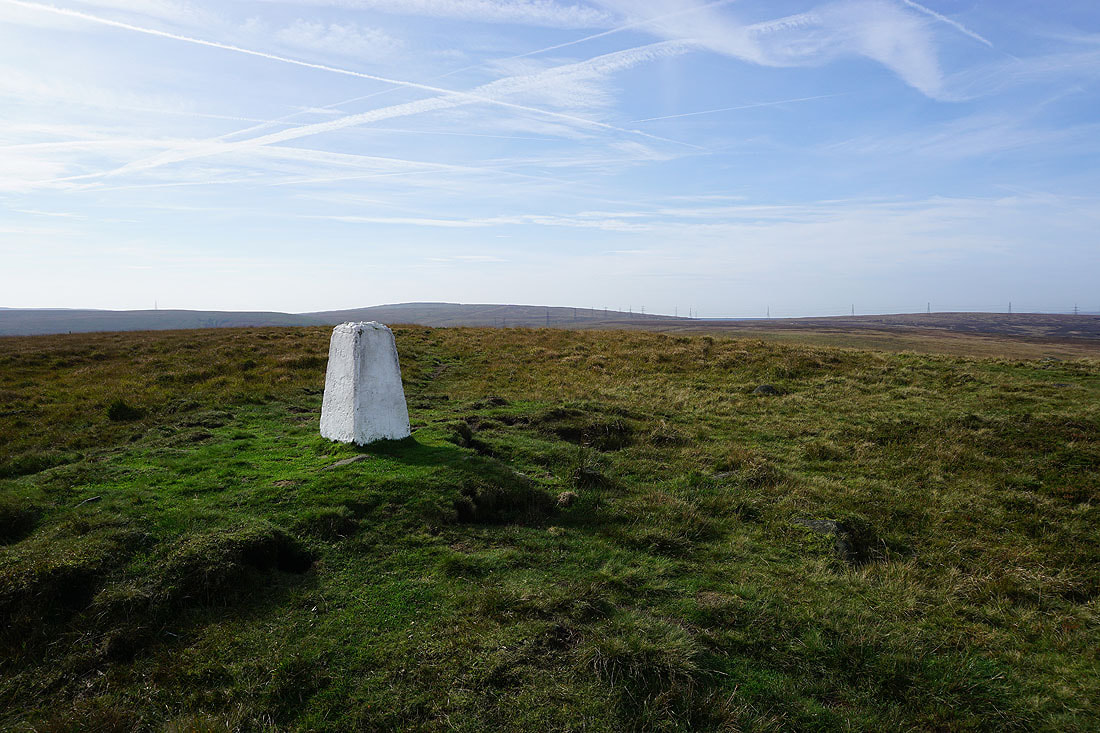
Blackstone Edge rises to the southwest
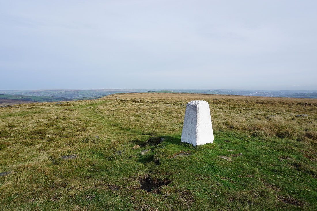
The moorland of Great Manshead Hill to the north

Blake Moor on the other side of Turvin Clough
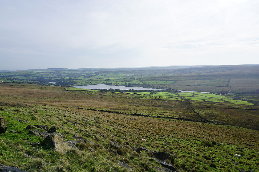
Looking across Baitings Reservoir to Blackwood Common and Rishworth Moor
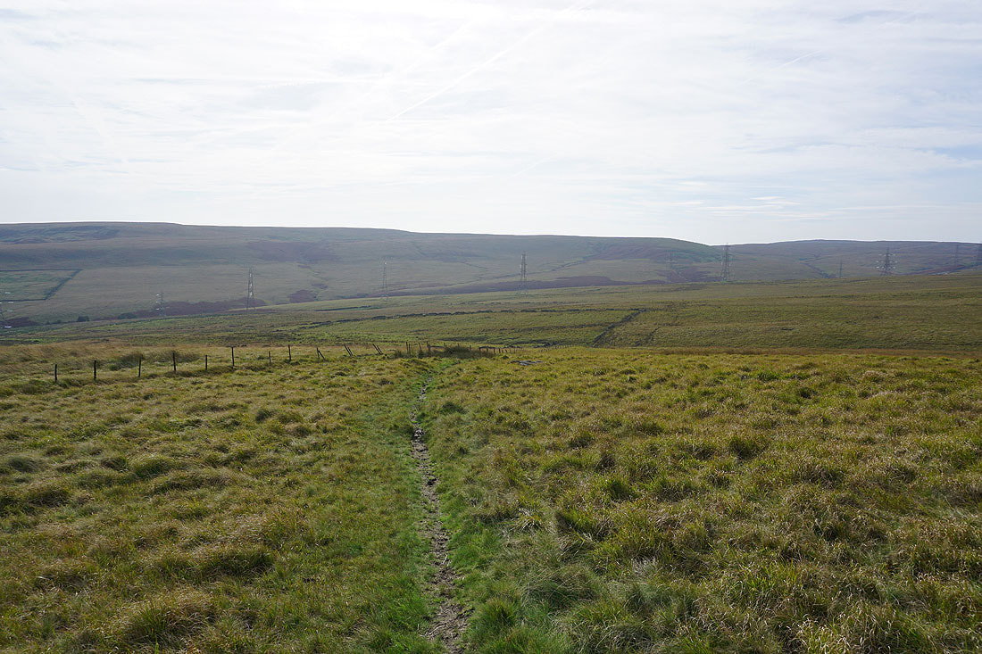
I leave Manshead Head via the permissive path down Greenwood Clough to the A58
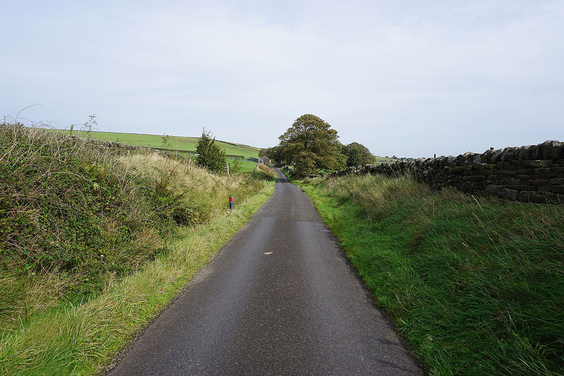
Walking east along Blue Ball Road
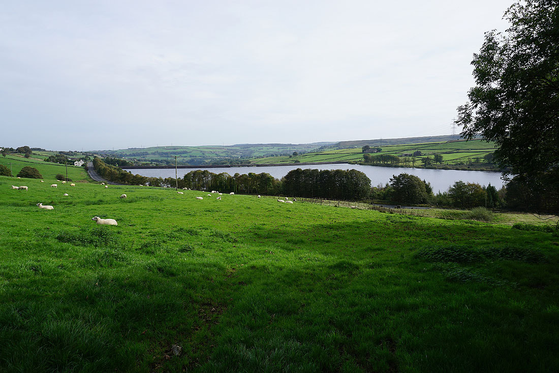
Passing a full Baitings Reservoir to my right..
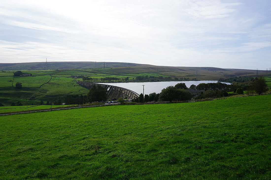
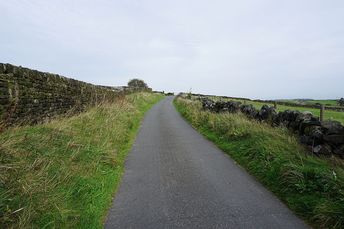
Heading north up Coal Gate Road

To my right, the valley of the River Ryburn
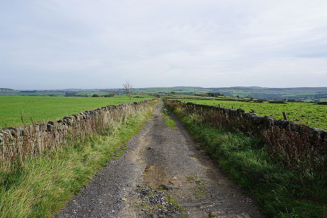
Passing the bridleway of Flight House Road
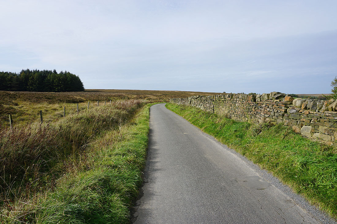
It's a lovely autumn afternoon as I walk north along Coal Gate Road
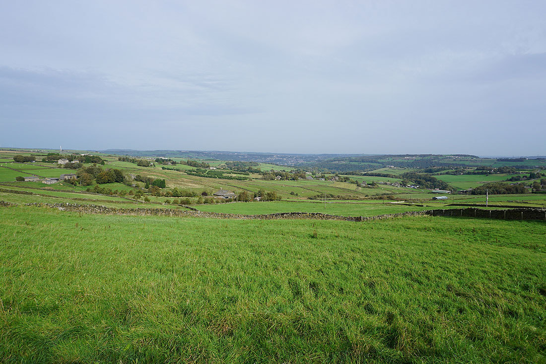
Looking across the valley of the River Ryburn to where it meets Calderdale around Sowerby Bridge
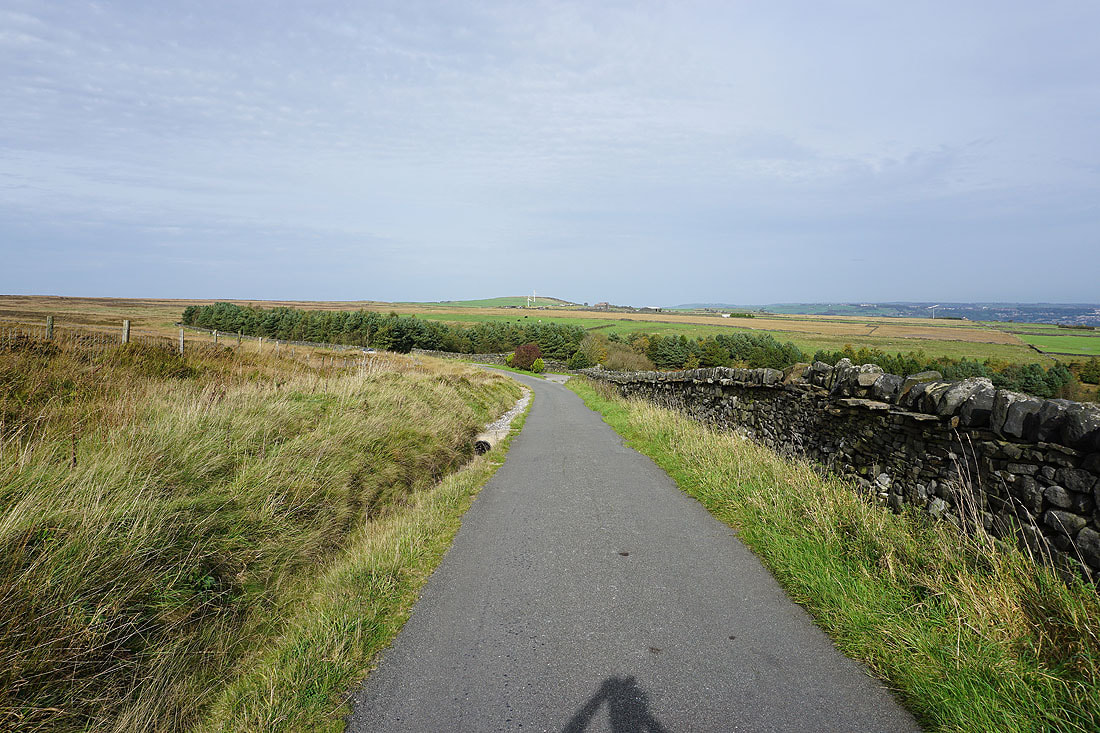
At the woodland just ahead I'll leave Coal Gate Road for a bridleway on the left
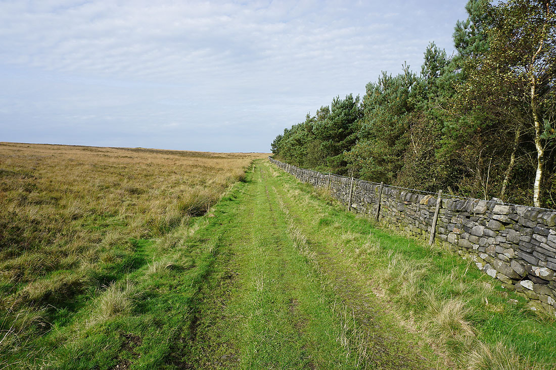
Following the bridleway up onto Slate Delfs Hill..
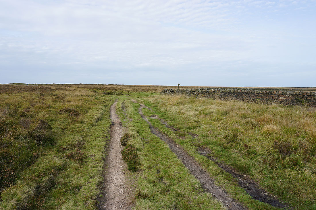

Heading north across Slate Delfs Hill on the bridleway to Nook Lane..
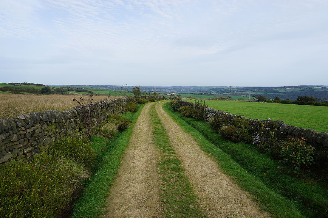
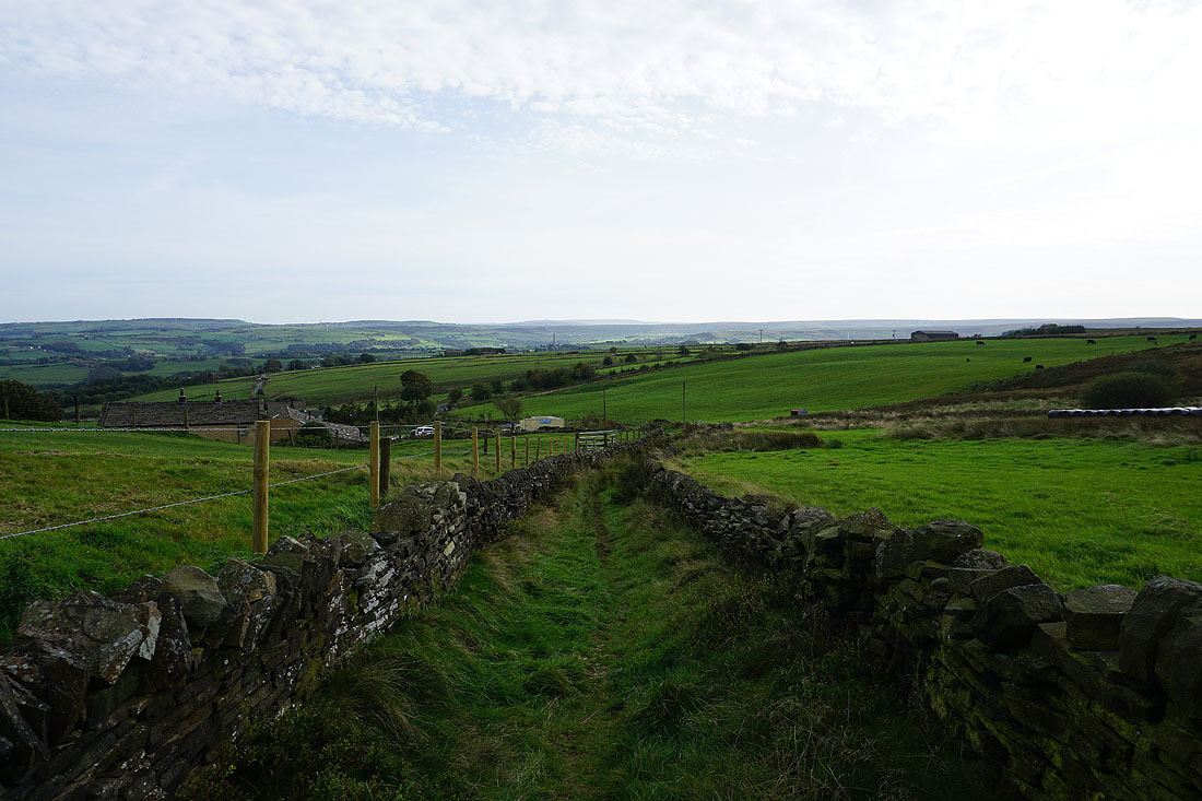
Looking back down to Delves Farm as I take the bridleway at the corner of Nook Lane and Delfs Lane
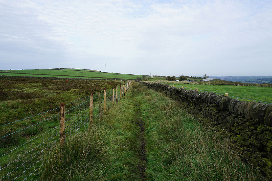
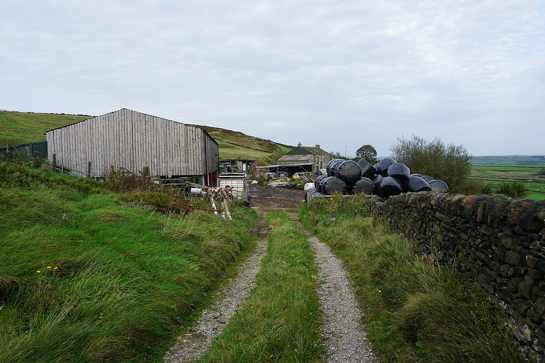
I follow the bridleway north to Crow Hill End Farm..
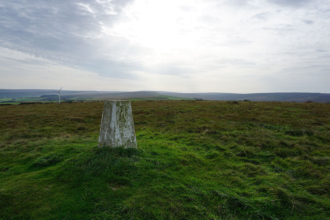
At the trig point on Crow Hill. Looking south to Great Manshead Hill.
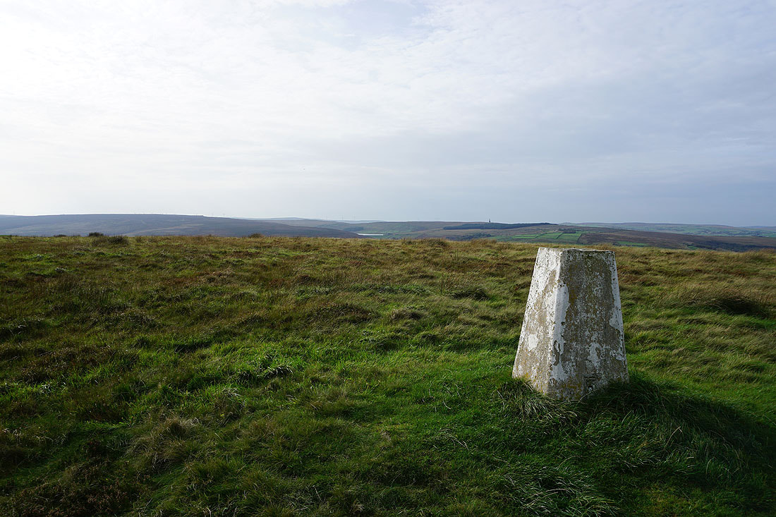
and across Cragg Vale to Turley Holes and Higher House Moor, Withens Clough Reservoir, and Bell House Moor
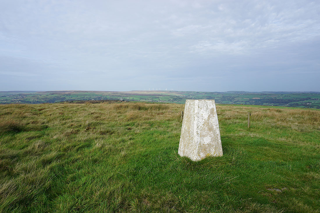
Midgley Moor and Ovenden Moor to the north on the other side of Calderdale
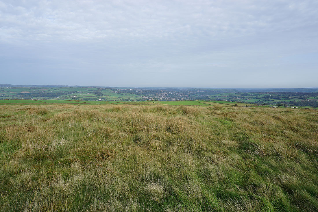
Looking down Calderdale to Halifax
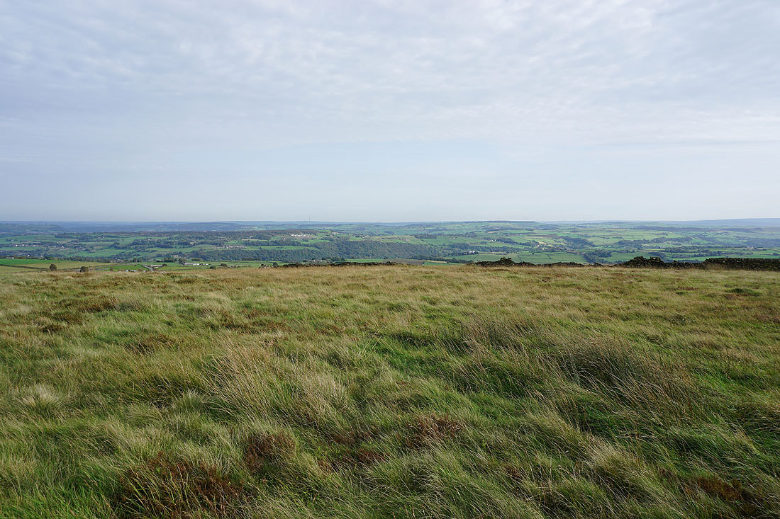
To the east and southeast, Norland Moor and Ringstone Edge Moor on the other side of the valley of the River Ryburn..


Down from Crow Hill and I follow the bridleway to High Stones Road
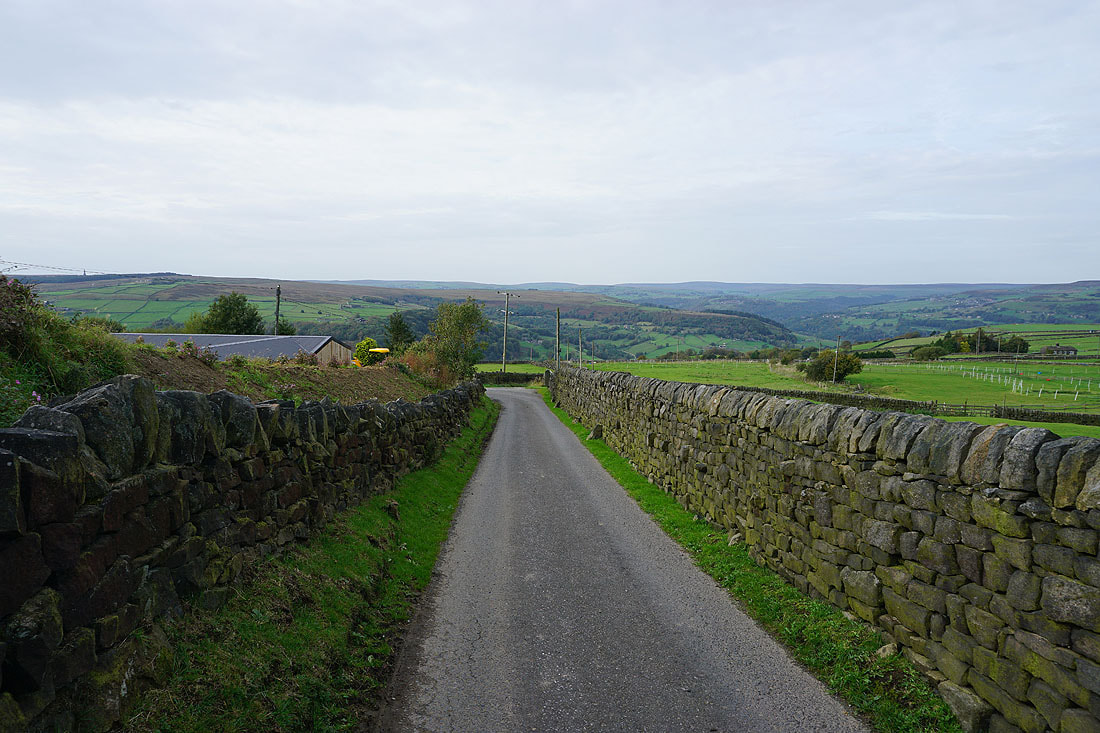
Then the bridleway down to Coppy Nook Lane
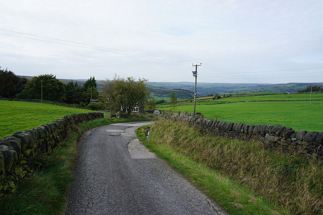
Following the bridleway down to Weather Hill Cottage
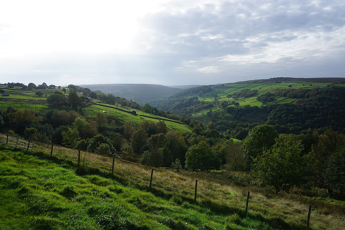
It took me a while to find through the grounds of Weather Hill Cottage. It then heads south across the hillside, with great views across Cragg Vale...
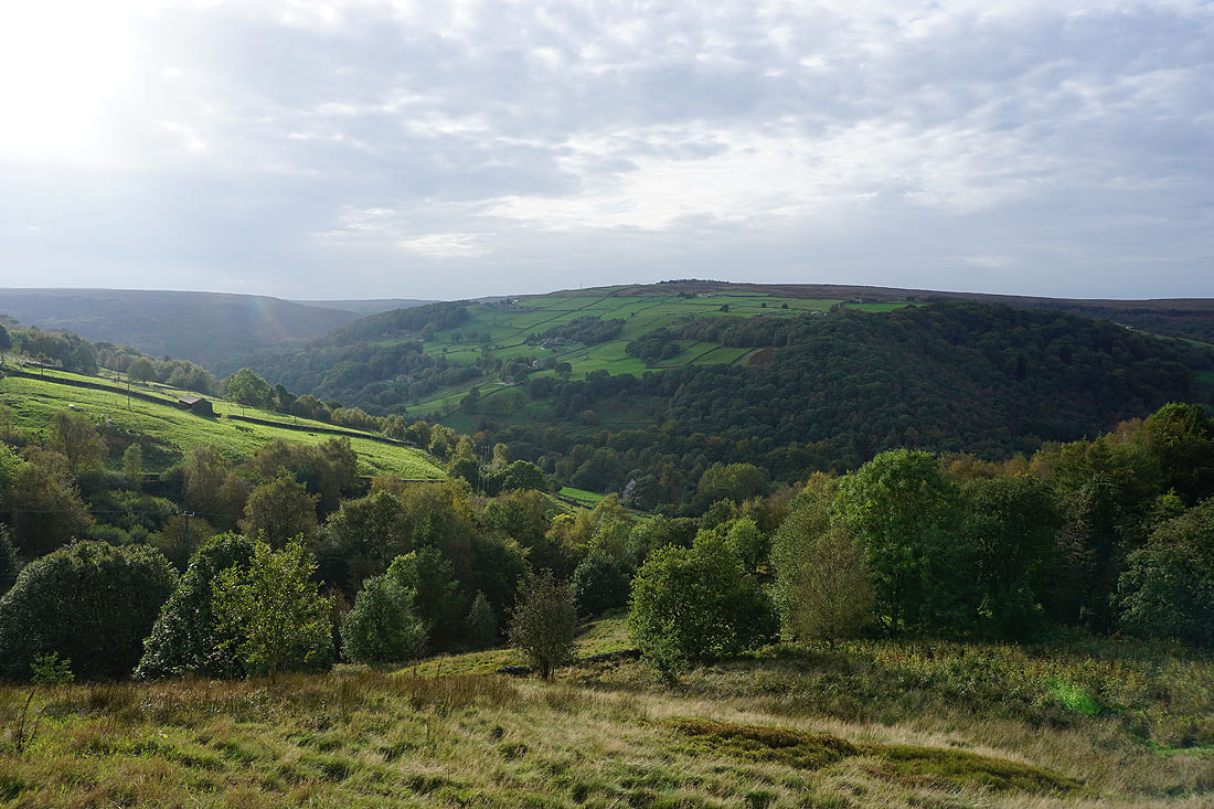

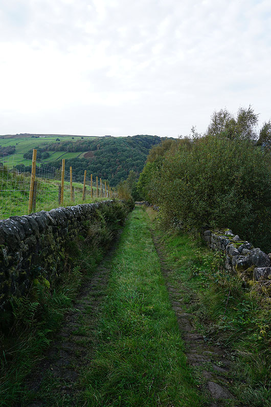
The footpath joins a track as I continue downhill
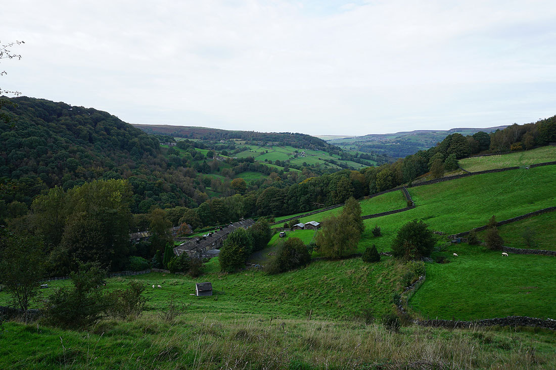
To my right, I have a view down Cragg Vale towards Mytholmroyd
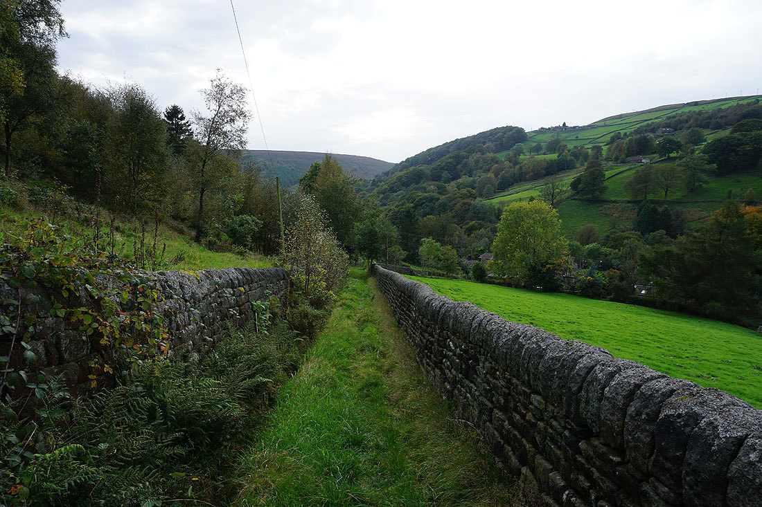
The final descent to Cragg Road
|
|
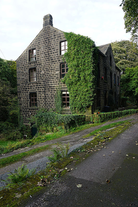
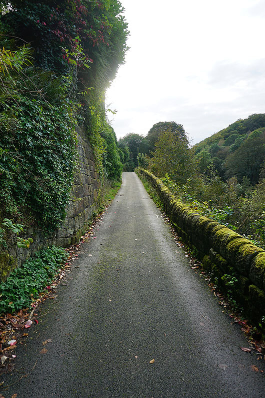
After crossing Cragg Road I take the narrow lane of Castle Gate down to Cragg Brook..
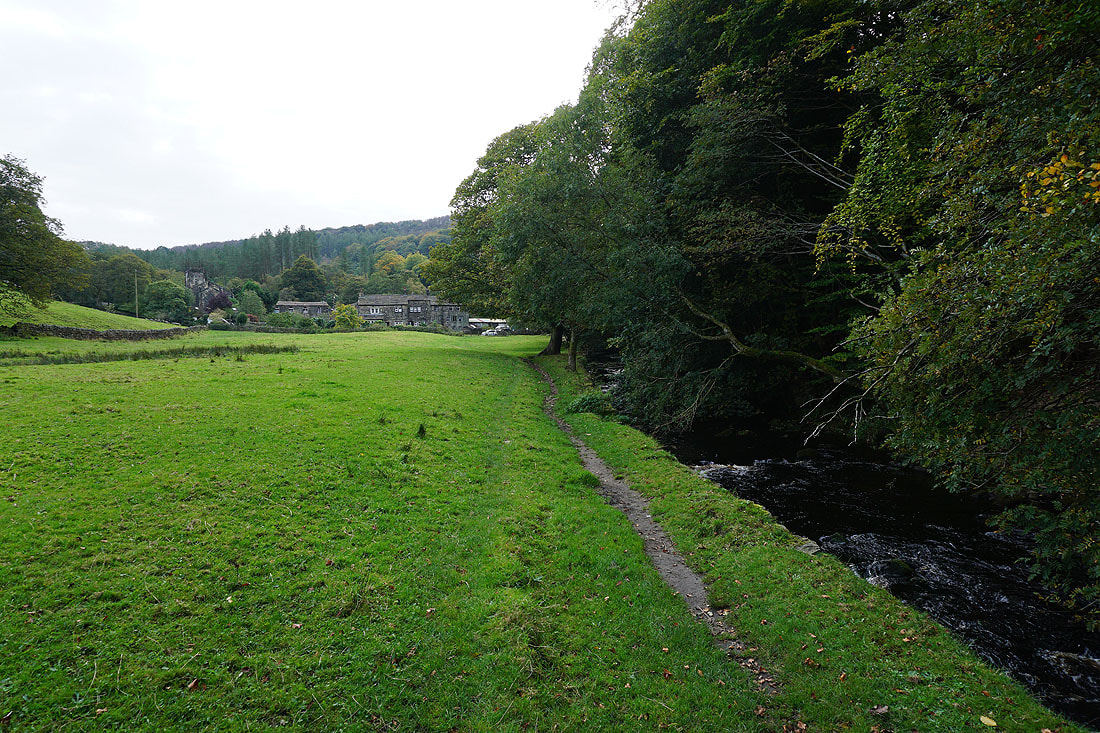
Following the footpath by Cragg Brook back to Church Bank Lane