8th September 2013 - Pinhaw Beacon
Walk Details
Distance walked: 8.0 miles
Total ascent: 1259 ft
OS map used: OL21 - South Pennines
Time taken: 4.5 hrs
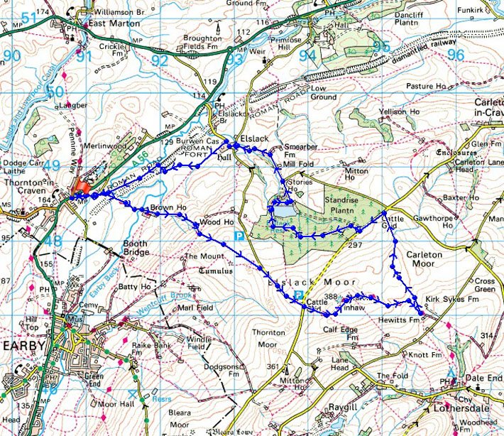
Route description: Thornton in Craven-Old Road-Pennine Way-Pinhaw Beacon-Pennine Way-Carleton Moor-Carleton Lane-Elslack Reservoir-Moor Lane-Elslack-Old Road-Thornton in Craven
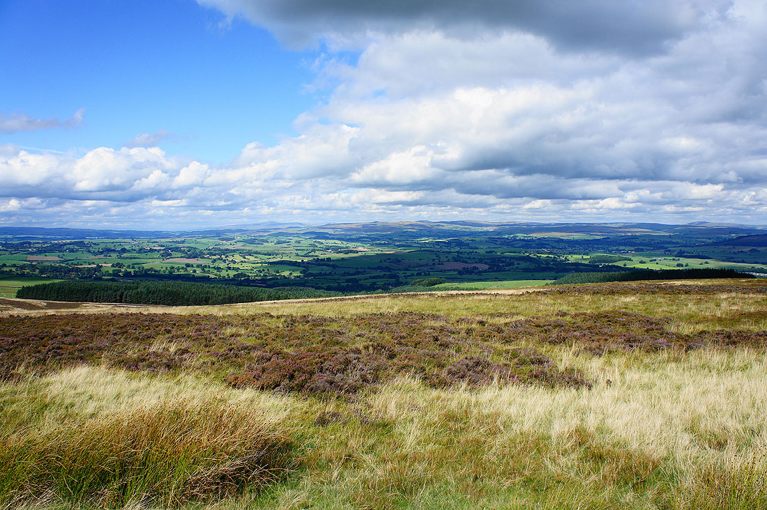
A fine early autumn day to appreciate the great views from Pinhaw Beacon.
After finding somewhere to park in Thornton-in-Craven I set off along Old Road to then join the Pennine Way to head for Pinhaw Beacon. After enjoying the views from the summit I continued along the Pennine Way for while until it reaches Kirk Sykes Farm where I left it for a path across Carleton Moor to Carleton Lane. I then had to walk along the road for a few hundred yards to reach the path that would take me down through Standrise Plantation to Elslack Reservoir. My route back then took me down Moor Lane into Elslack and across fields to Thornton-in Craven.
Route map
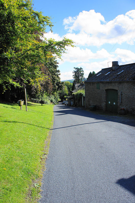
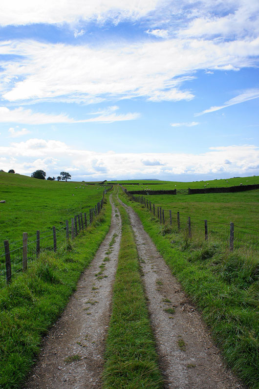
Leaving Thronton-in-Craven along Old Road
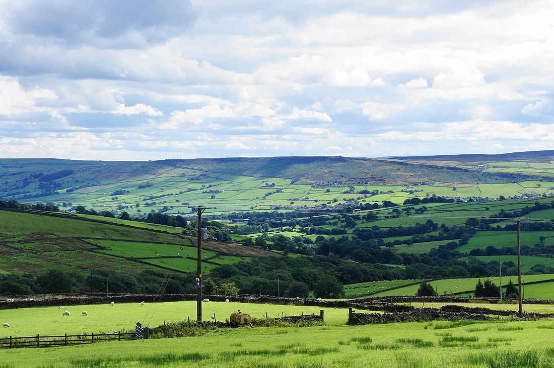
I've not been on the Pennine Way for long and I already have great views of the surrounding countryside..
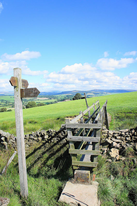
The Pennine Way crosses this footbridge near Wood House Farm
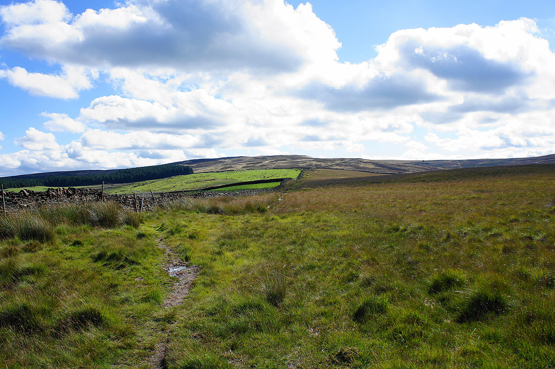
Up onto moorland bound for Clogger Lane with Elslack Moor above
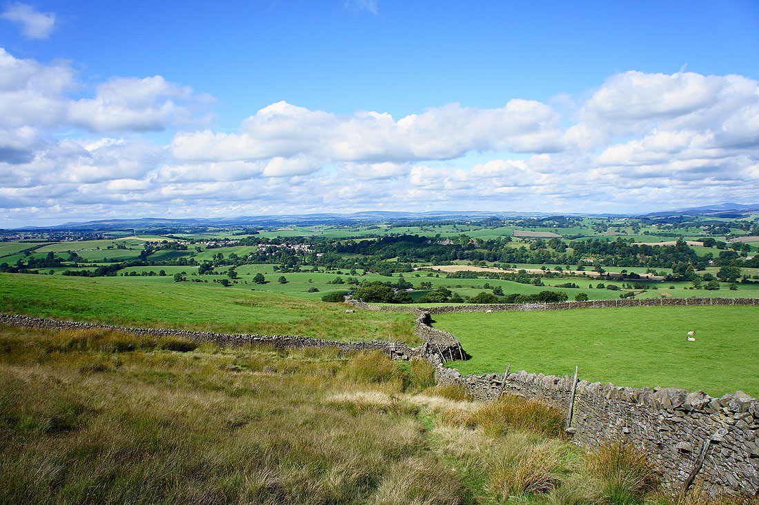
Looking back to Thornton-in-Craven
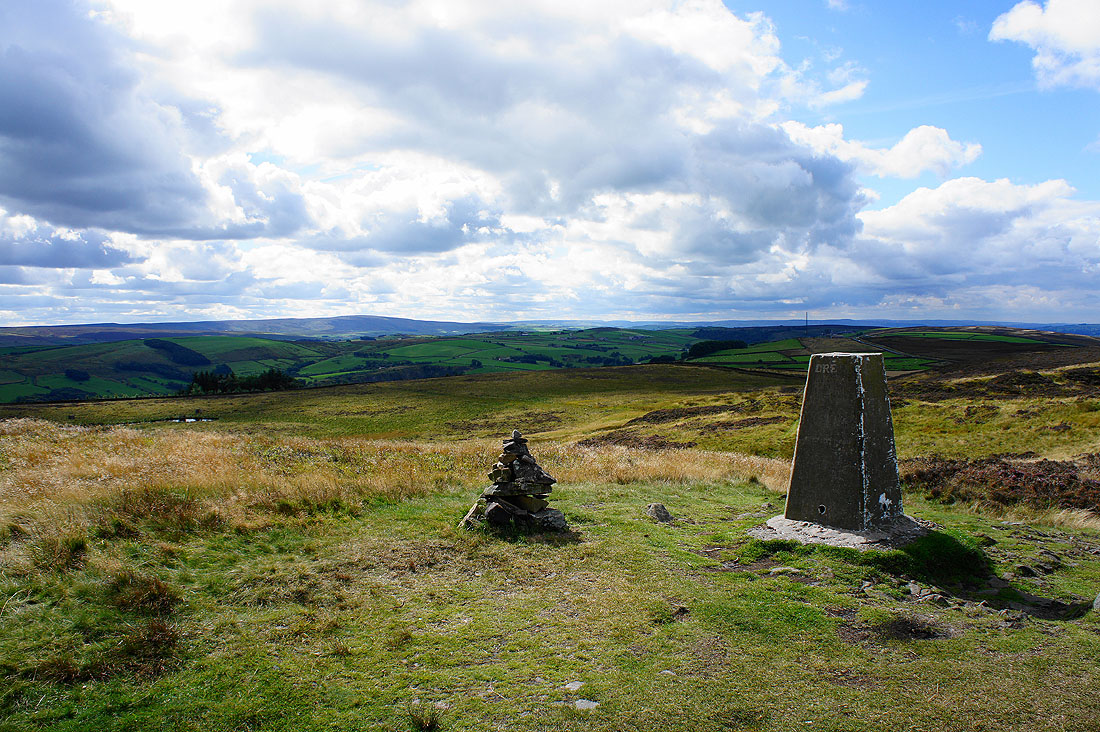
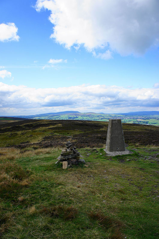
On the summit of Pinhaw Beacon. Looking south to distant Boulsworth Hill.
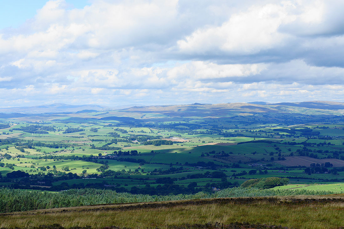
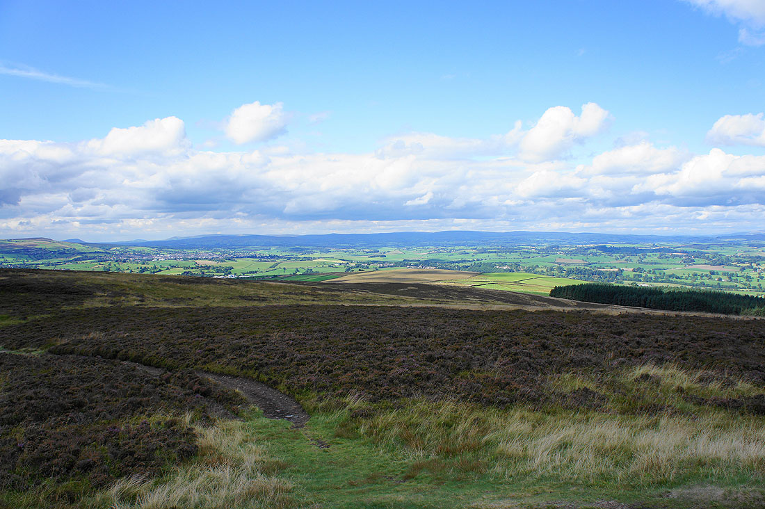
To the north are the hills of the Yorkshire Dales..
Zooming in to show Ingleborough on the left. The distinctive profile of Penyghent is hidden by the hills above Settle.
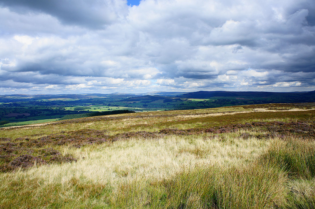
The hills above Wharfedale to the northeast
Zooming in on Buckden Pike and Great Whernside
Pendle Hill and Weets Hill
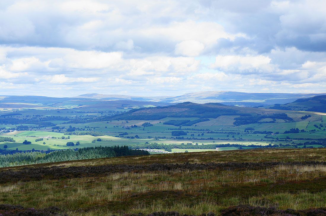
The Forest of Bowland
Panorama from Pendle Hill round to the hills of the Yorkshire Dales
Leaving Pinhaw Beacon on the Pennine Way
The valley of Lothersdale below. This is where I'm going to leave the Pennine Way to head across Carleton Moor.
Zooming in across Lothersdale to Earl Crag
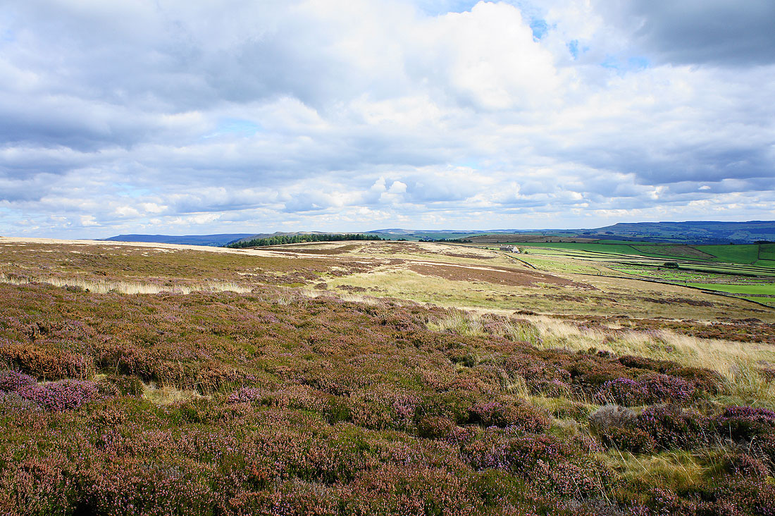
On Carleton Moor
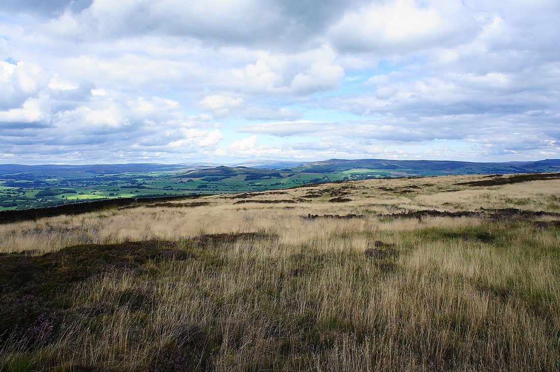
Great views as I head down off Carleton Moor. Flasby Fell and Barden Moor.
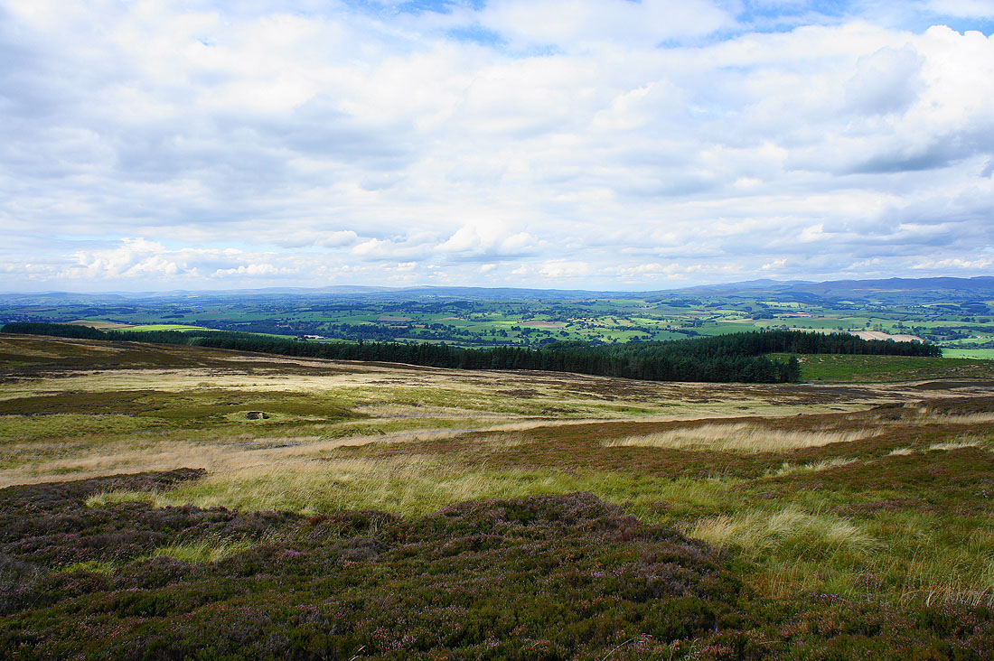
The Forest of Bowland to the left and Ingleborough to the right
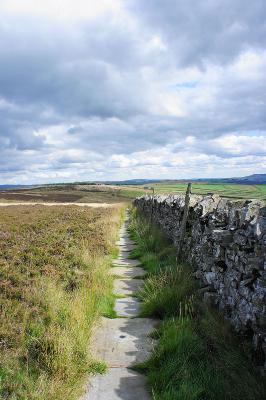
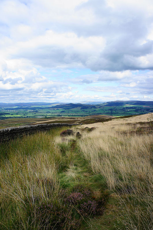
Just follow the wall down to Carleton Lane
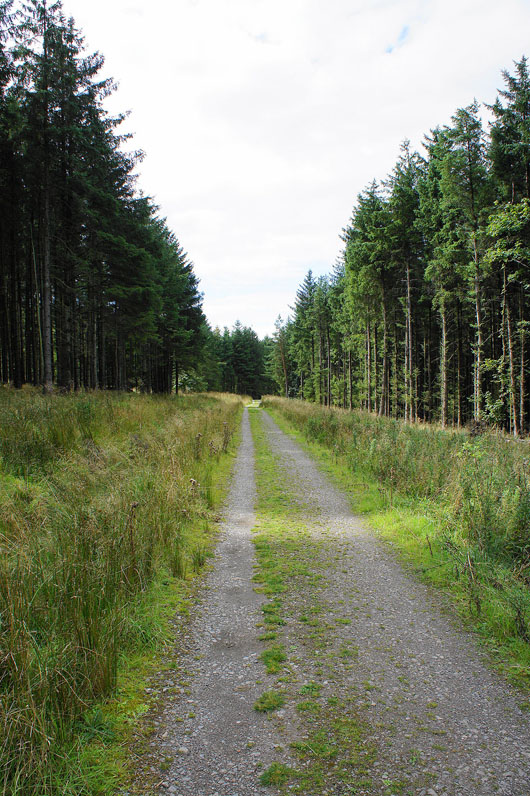
Not the most interesting part of the walk on the track through Standrise Plantation
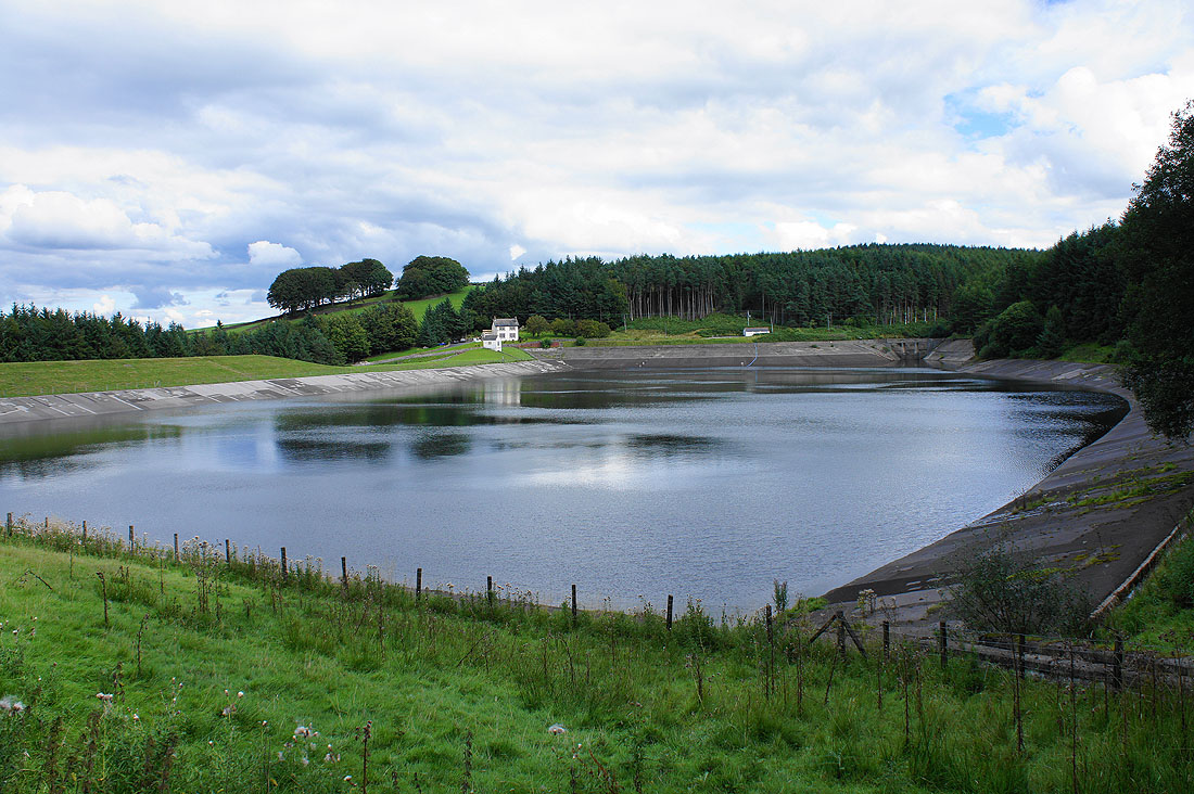
Elslack Reservoir
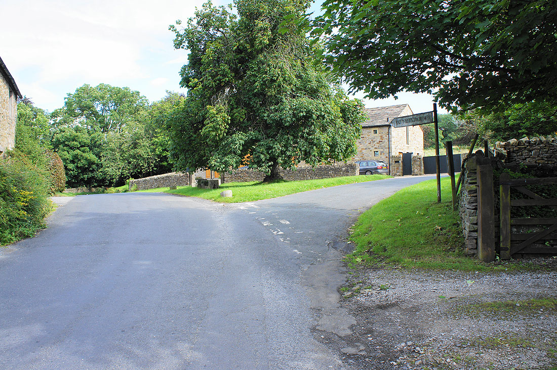
In Elslack
This track next to Elslack Hall will take me across farmland and back to Thornton
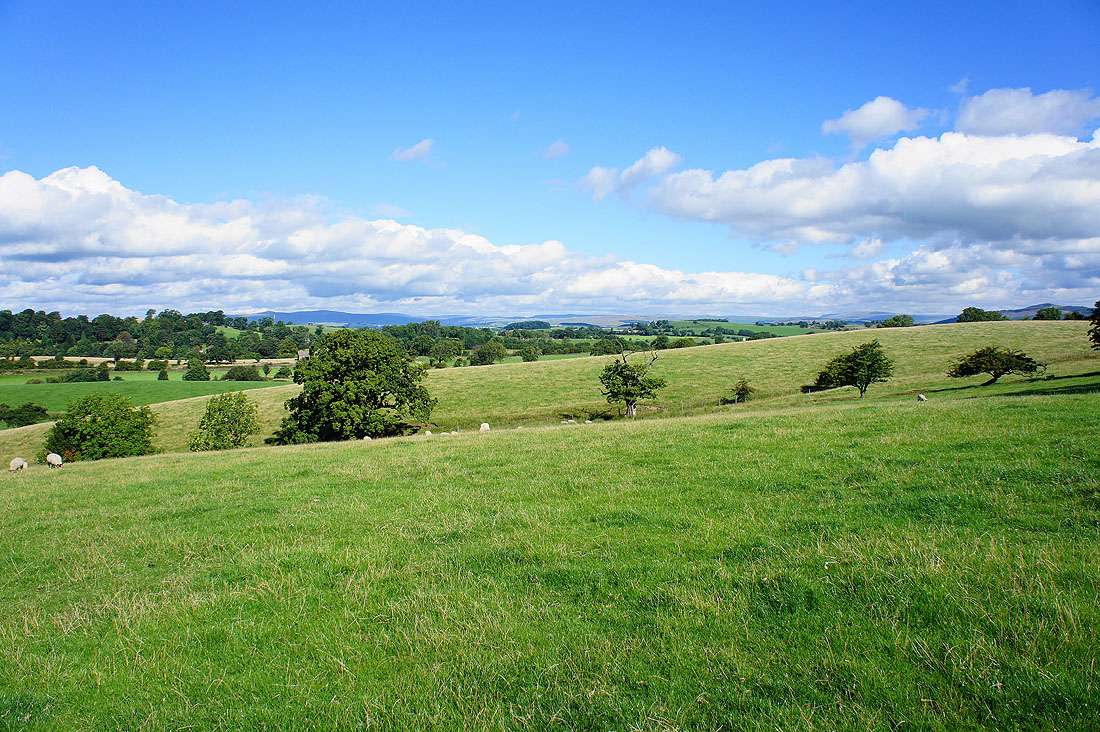
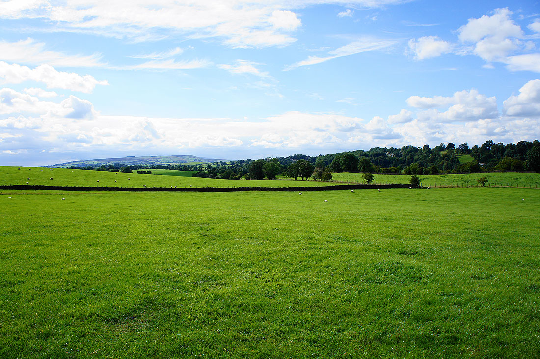
Barden Moor in the distance..
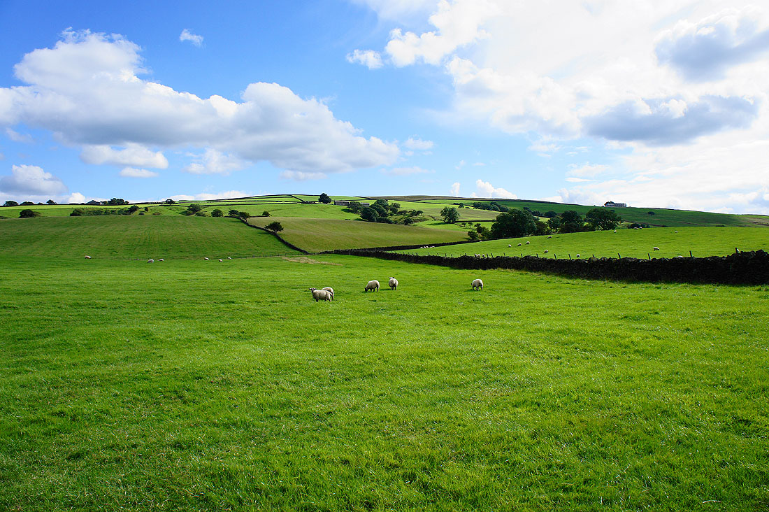
..and the slopes that rise to Elslack Moor
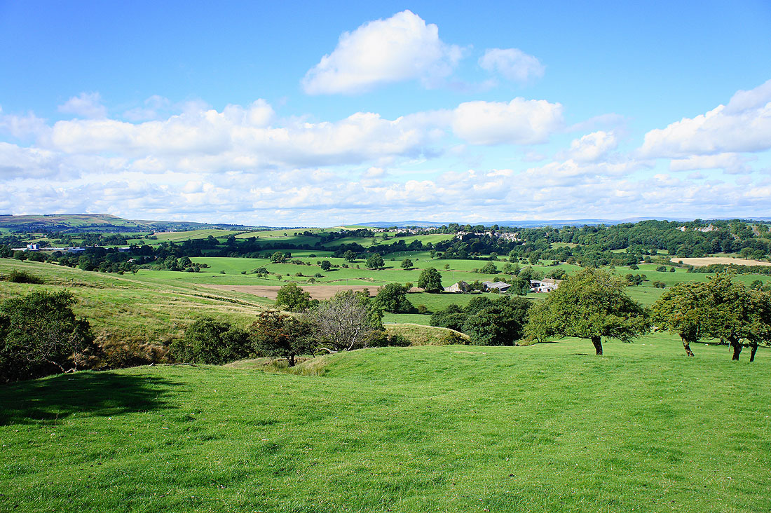
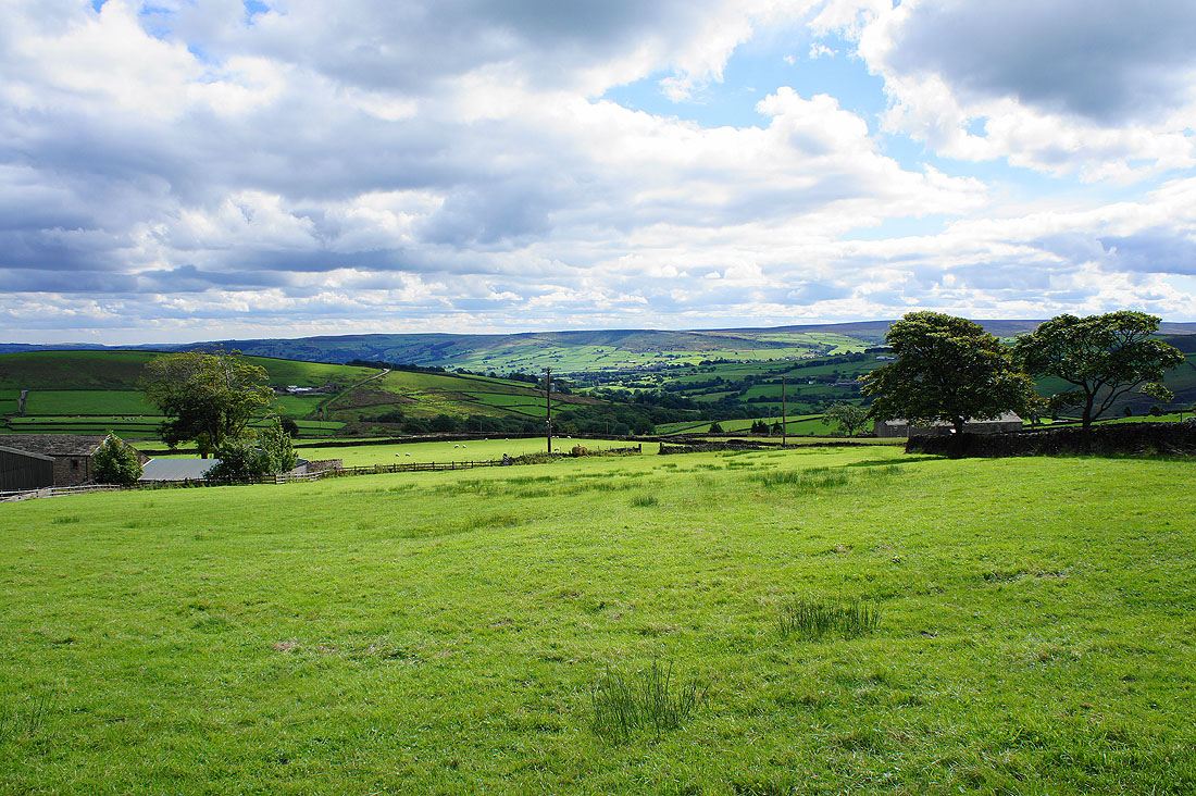
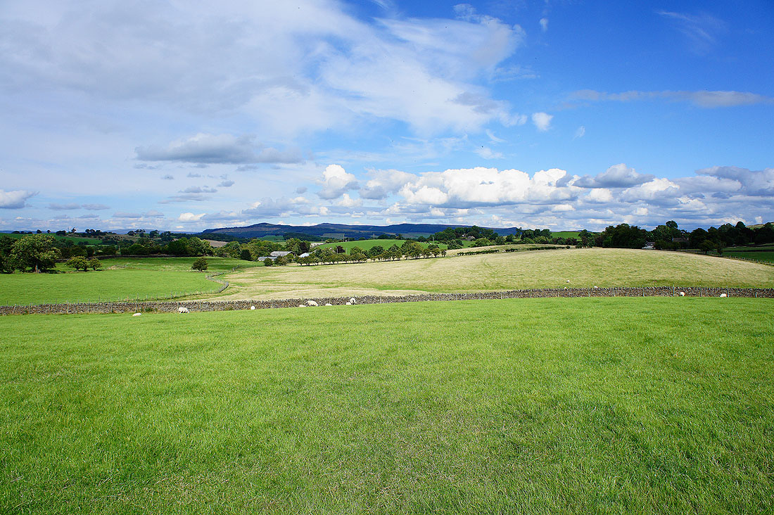
Thornton-in-Craven is just a few fields away beyond the trees
