8th September 2015 - High Stile, High Crag & Haystacks
Walk Details
Distance walked: 6.4 miles
Total ascent: 3389 ft
OS map used: OL4 - The English Lakes, Northwestern area
Time taken: 7.5 hrs
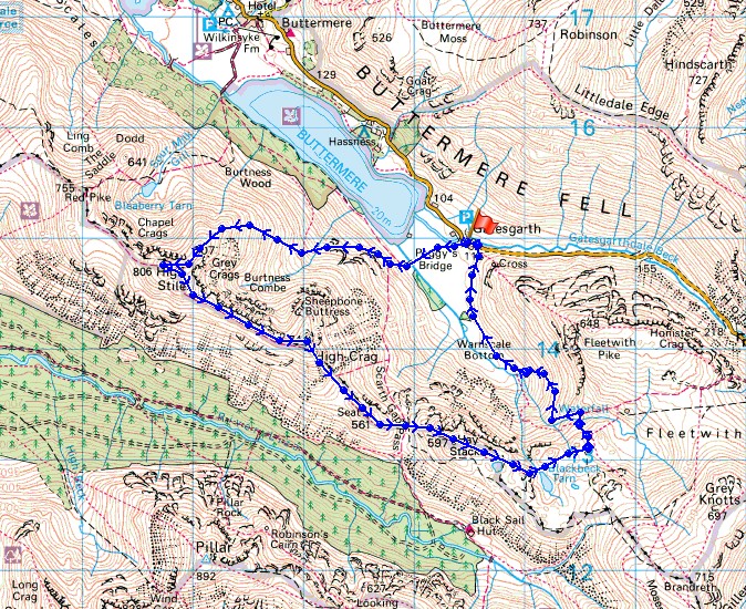
Route description: Gatesgarth Farm-Peggy's Bridge-Comb Beck-Burtness Comb-High Stile-High Crag-Seat-Scarth Gap-Haystacks-Innominate Tarn-Blackbeck Tarn-Warnscale Bottom-Gatesgarth Farm
It's Tuesday and with another fine day of sunny spells and light winds forecast I decided to do this walk which included an ascent of High Stile by a route that is new for me. I'd always done High Stile by walking along the ridge to it from Red Pike but I quite enjoyed this direct way up and it wasn't as bad as I thought it might be. The path up sees a reasonable amount of traffic and was clearer and easier to follow than I expected. Although it started out sunny some cloud built up during the afternoon and it became quite murky and hazy towards the end of the walk. The warm sunshine and light winds certainly encouraged the flying ants out, at times they drove me to distraction.
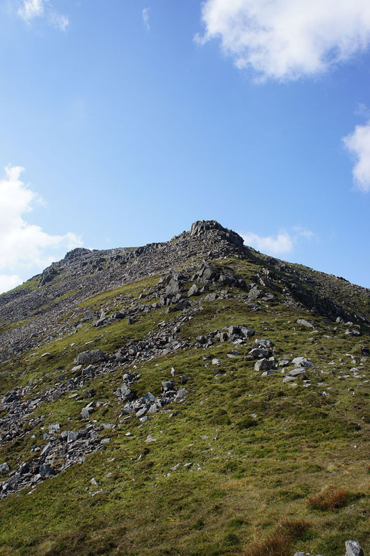
From the car park at Gatesgarth Farm I took the track to and across Peggy's Bridge and then up the path to Scarth Gap. Where it turns sharp left by the conifers I went straight on along a thin path through the bracken and under Low Crag towards Burtness Comb. After crossing Comb Beck I looked above me for a stile over the wall that allows access to Burtness Comb and this was where I started the ascent of High Stile's NE ridge from. The path makes its way up through the rocks and heather with a few little scrambles to arrive at the northern end of the summit. After all that effort I needed a break, time for lunch. I then made my way along the ridge to High Crag, down Gamlin End, across Seat and Scarth Gap and up to the summit of Haystacks. My route back to Gatesgarth Farm took me past Innominate and Blackbeck Tarns, then down into Warnscale Bottom and around the western end of Fleetwith Pike to the Honister Road.
Route map
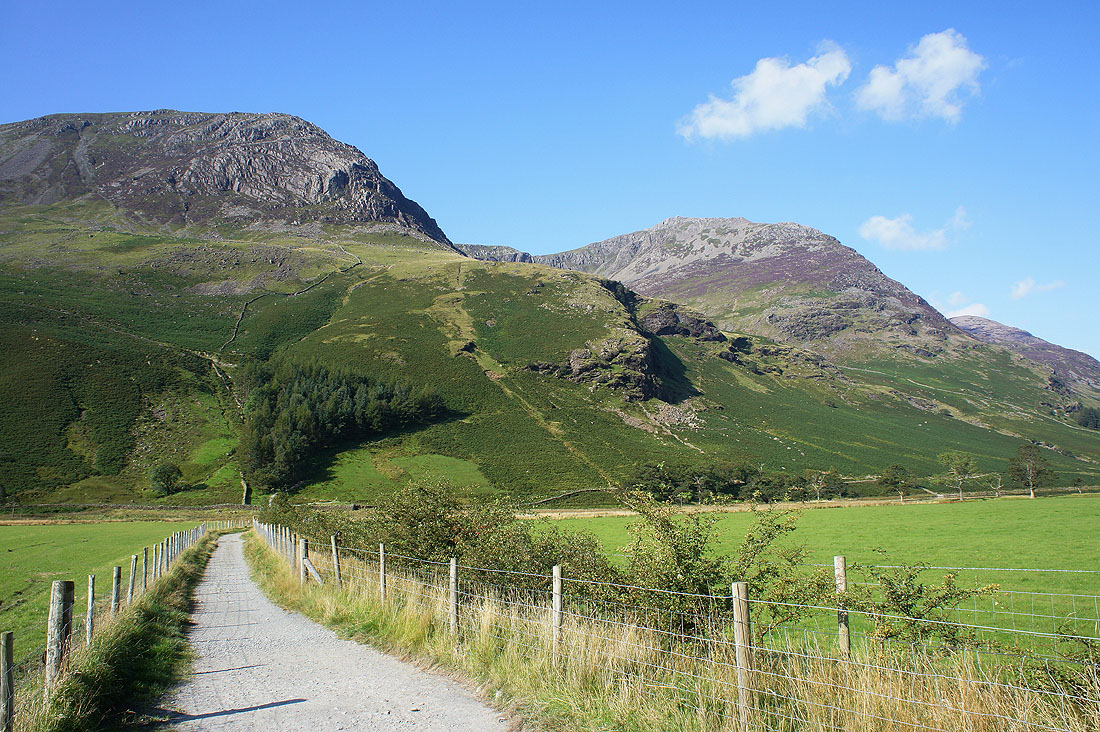
On the track from Gatesgarth Farm to Peggy's Bridge and the route I have to take is clearer to see. A thin path heads from the conifers through the bracken and under Low Crag to Burtness Comb.
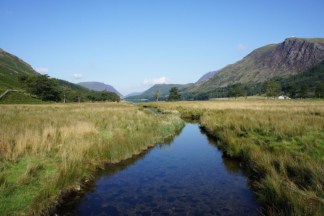
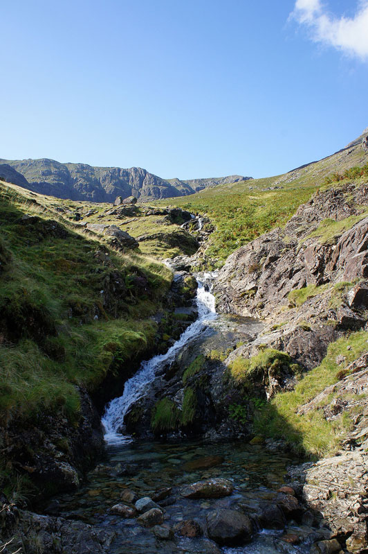
Across Warnscale Beck
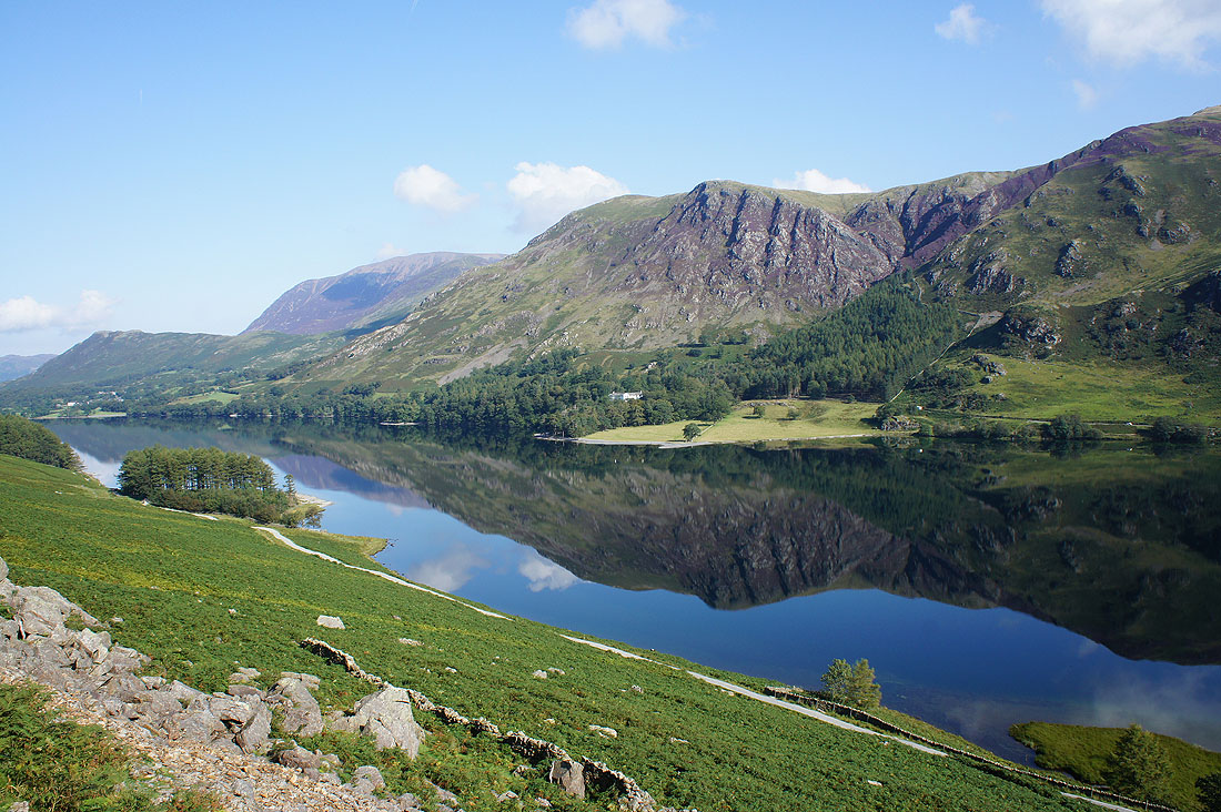
Nice reflections in Buttermere as I traverse the fellside
Across Comb Beck. Once across I looked for a stile in the wall above to get up into Burtness Comb.
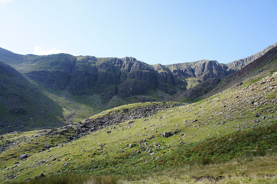
Comb Crags
High Snockrigg and Robinson on the other side of Buttermere. I think I've done most of the climb now.
Red Pike and Dodd
A bit of rock above me to negotiate
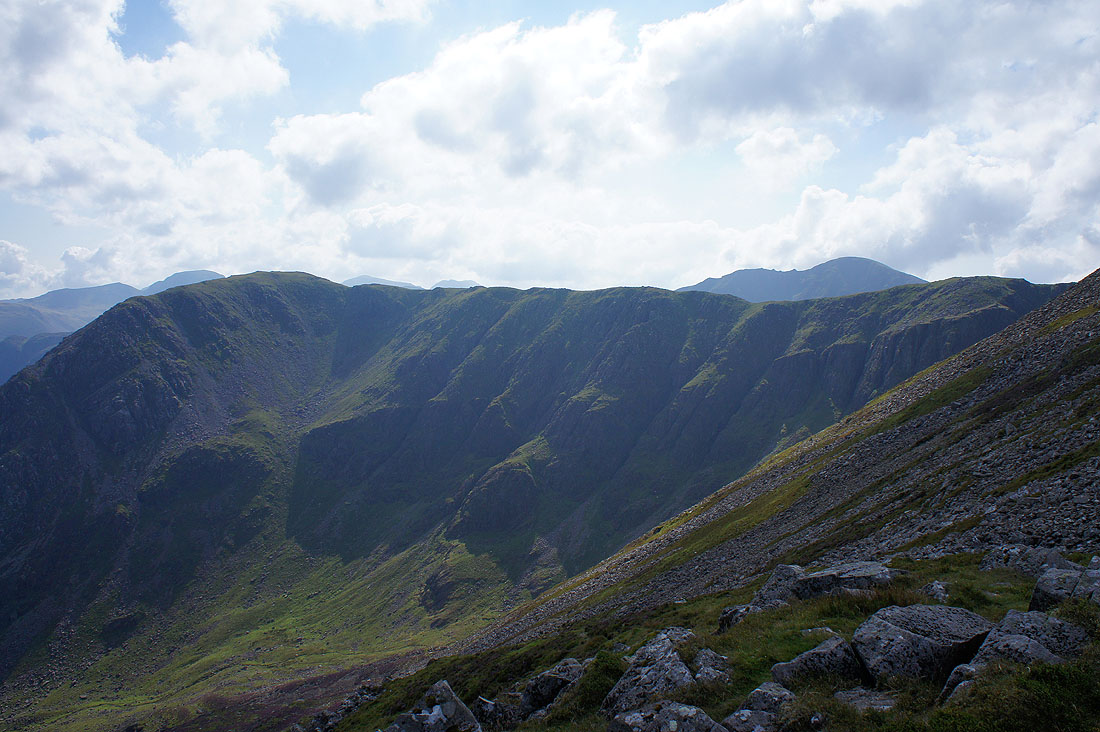
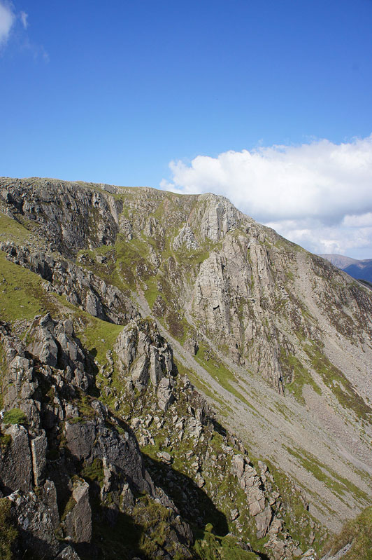
High Crag and Comb Crags on the other side of Burtness Comb
Made it the cairn at the northern end of the summit. The best views are from here. Red Pike, Bleaberry Tarn and Dodd.
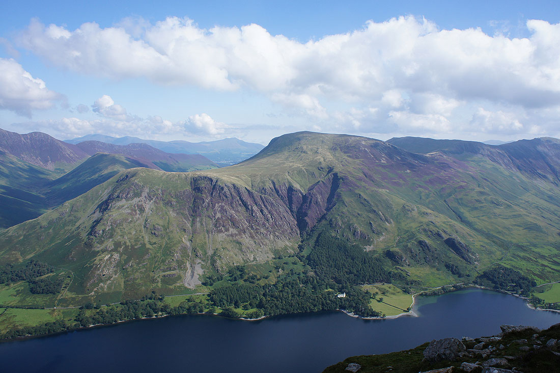
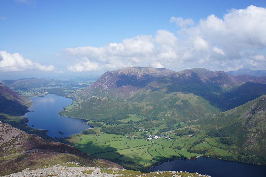
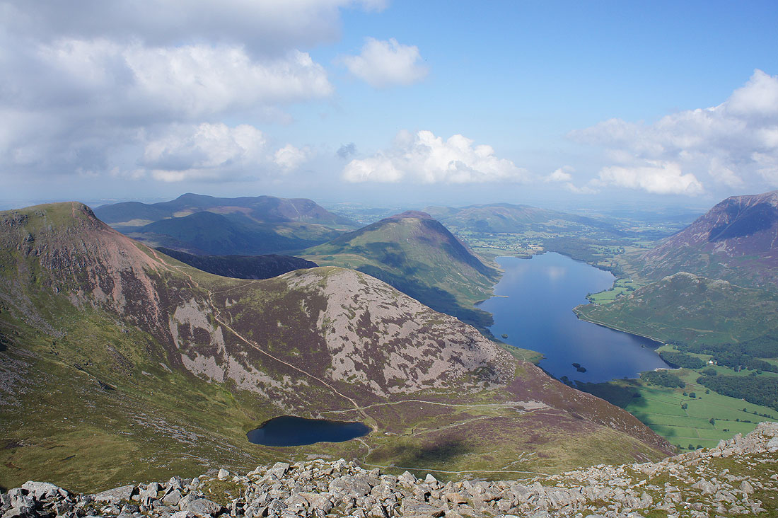
Crummock Water, Grasmoor, Eel Crag and Buttermere
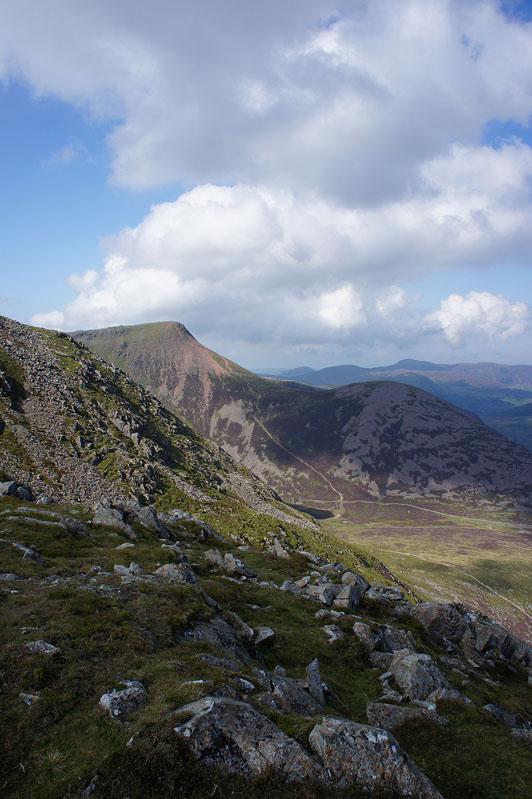
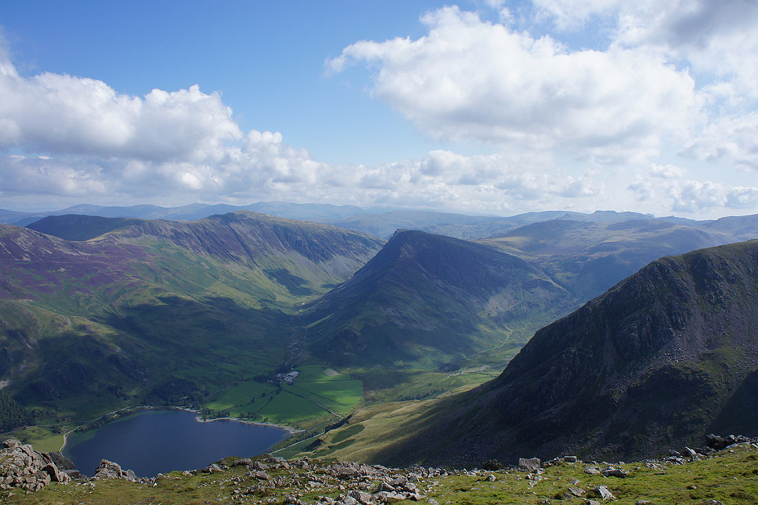
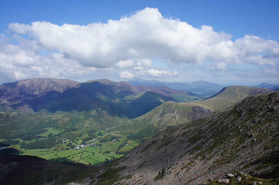
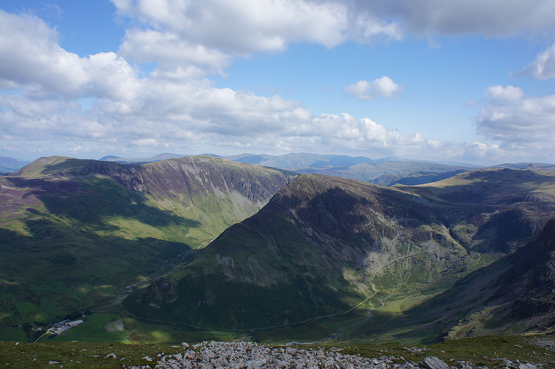
Hindscarth, Dale Head, Gatesgarthdale and Fleetwith Pike
A great view of Red Pike, Bleaberry Tarn, Dodd and Crummock Water as I make my way along the western edge of the summit
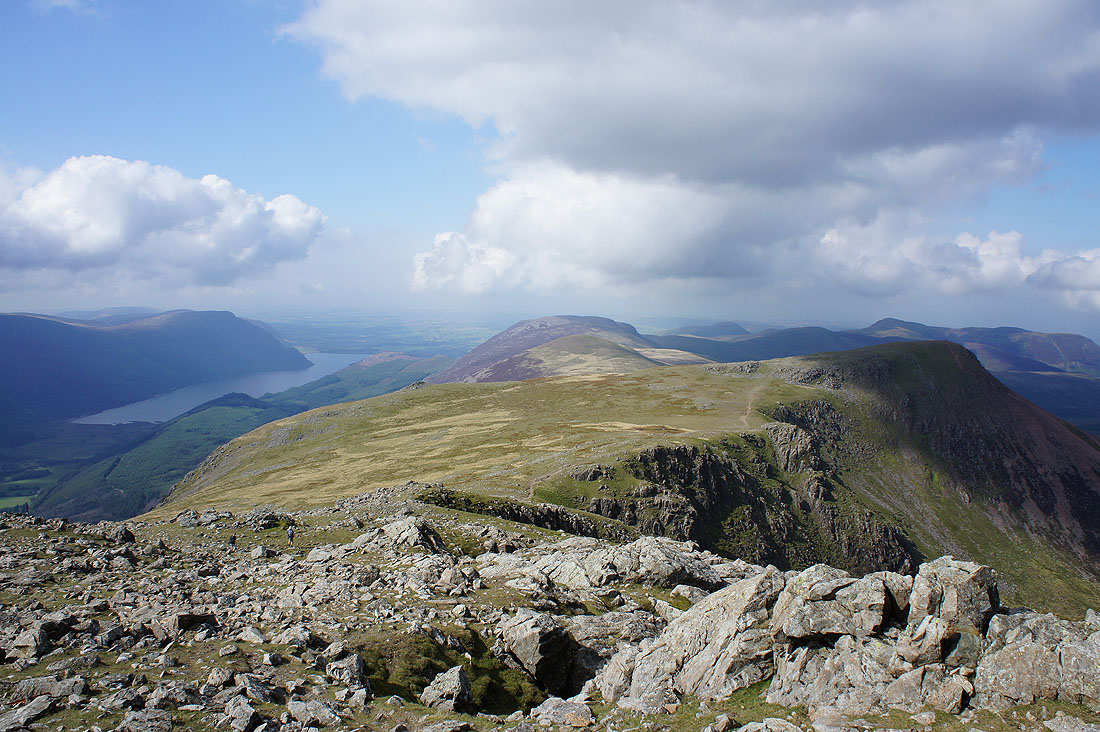
I decided to stop and have lunch here, not a bad spot. Ennerdale Water and west along the ridge to Red Pike, Starling Dodd and Great Borne.
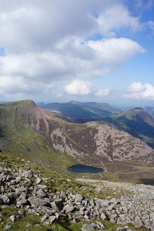
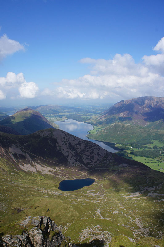
Bleaberry Tarn and Crummock Water
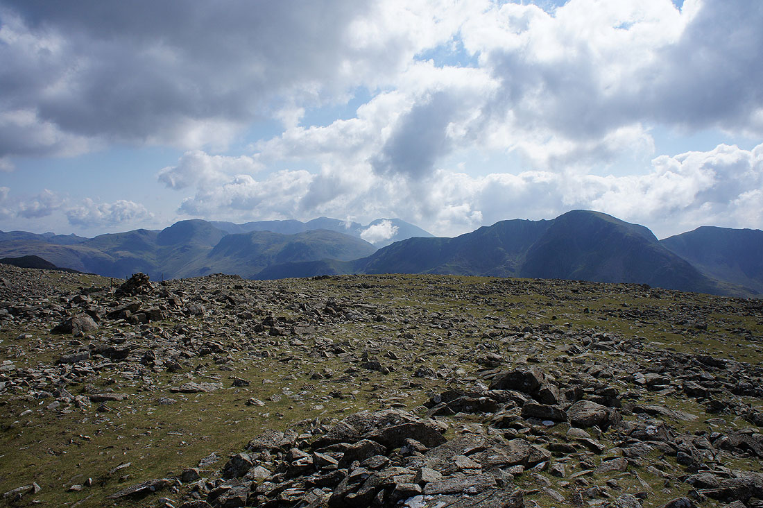
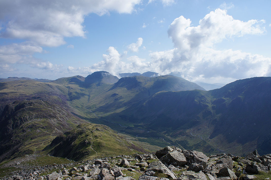
Great Gable, the Scafells, Kirk Fell and Pillar. Seems to be some cloud bubbling up over there.
Grasmoor and the Eel Crag to Causey Pike ridge plus Skiddaw and Blencathra
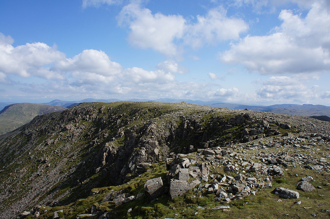
The summit of High Stile
Grey Crag
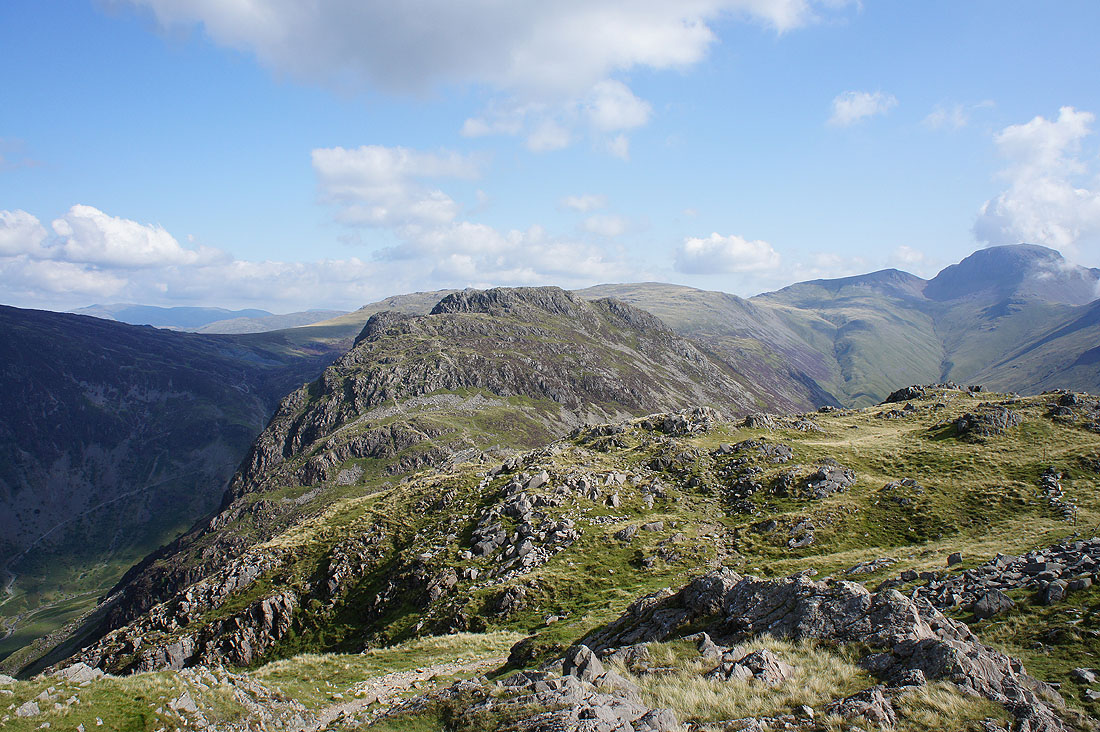
On the summit of High Crag and the fantastic view of Great Gable and Ennerdale
Hindscarth, Dale Head, Fleetwith Pike and a distant Helvellyn range
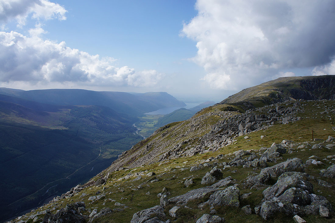
You can also see down Ennerdale to Ennerdale Water from here
Gamlin End. Not the nicest descent in the Lakes.
Haystacks from the top of Seat
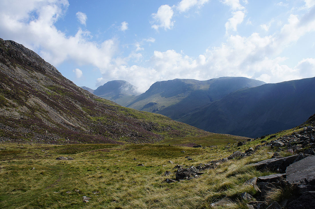
Great Gable and Kirk Fell from Scarth Gap
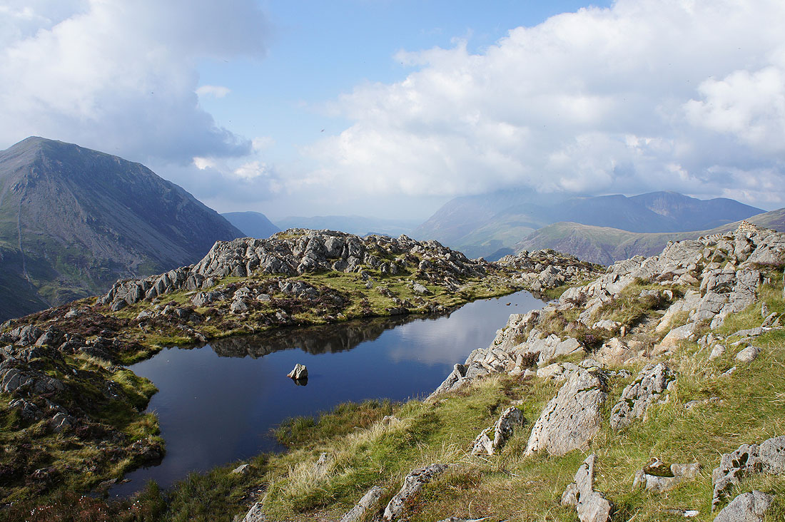
By the summit pool on Haystacks. It's a great summit with fantastic views, though the flying ants that are out today are driving me to distraction.
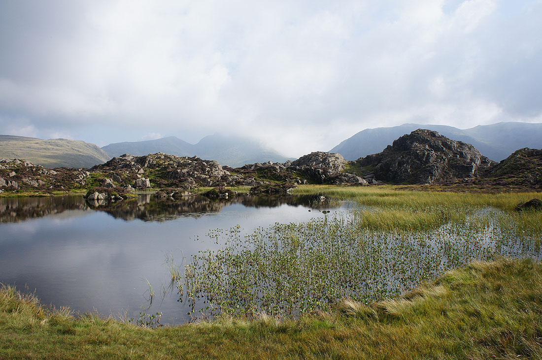
Innominate Tarn, the head of Ennerdale, Green Gable and Great Gable which is now almost hidden by cloud
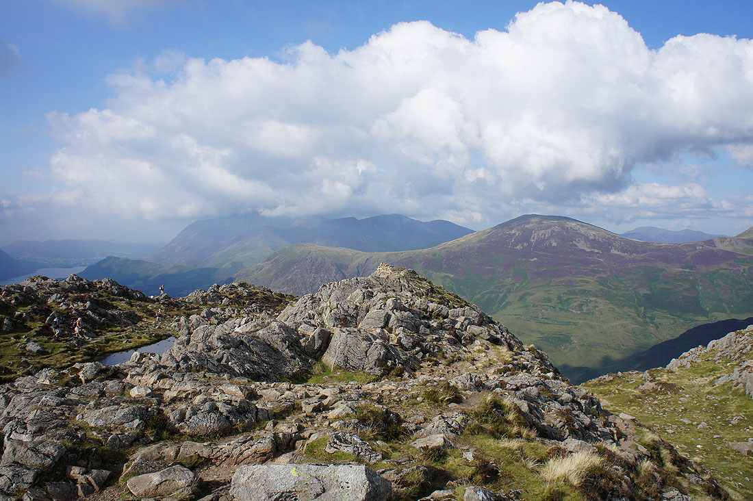
Grasmoor, Eel Crag and Robinson
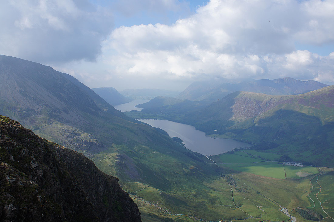
Crummock Water and Buttermere from the northern end of the summit
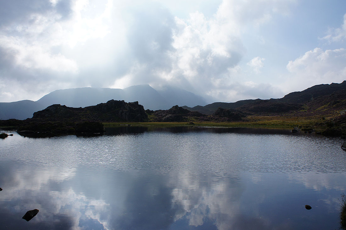
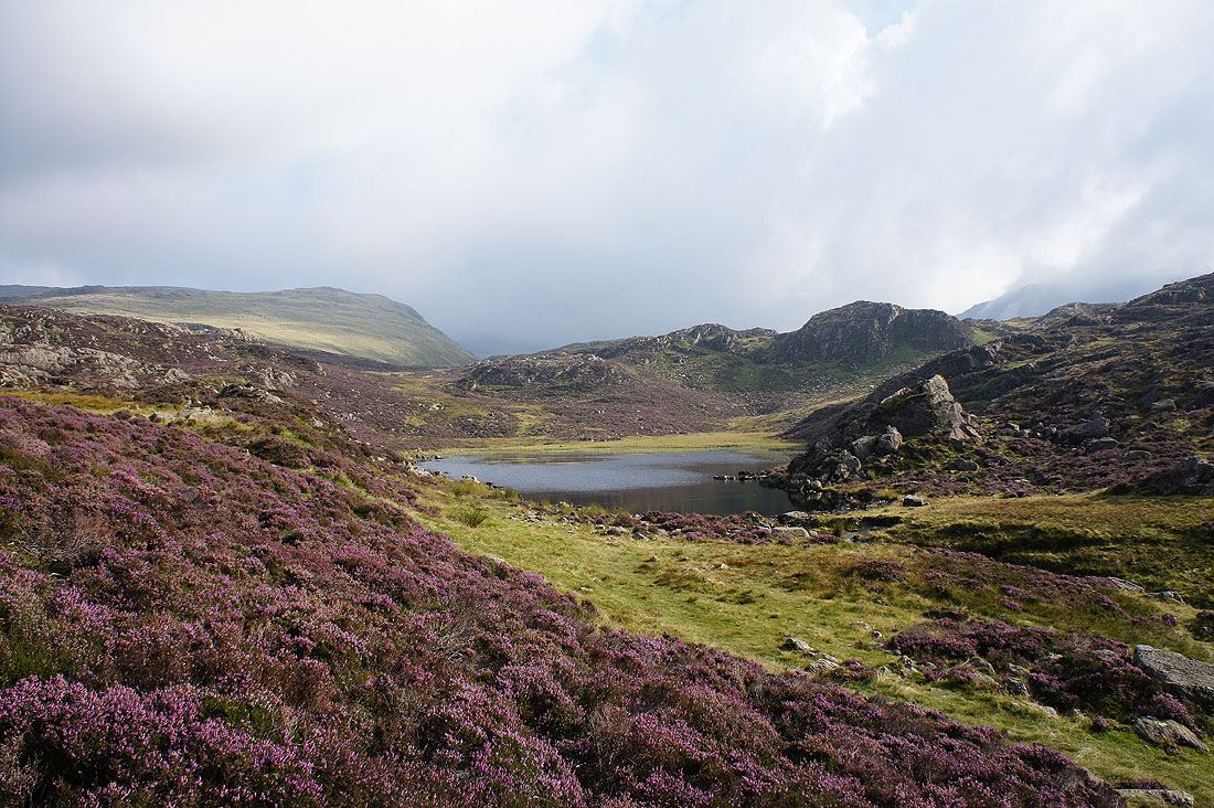
Innominate Tarn watched over by Gable..
..and Pillar
Crummock Water and Buttermere as I cross the top of Black Beck
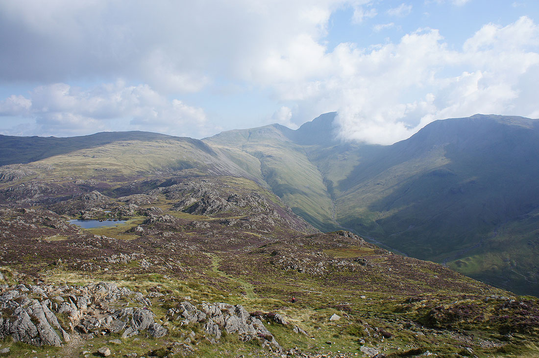
Blackbeck Tarn
Great colours in the landscape around Little and Great Round Hows
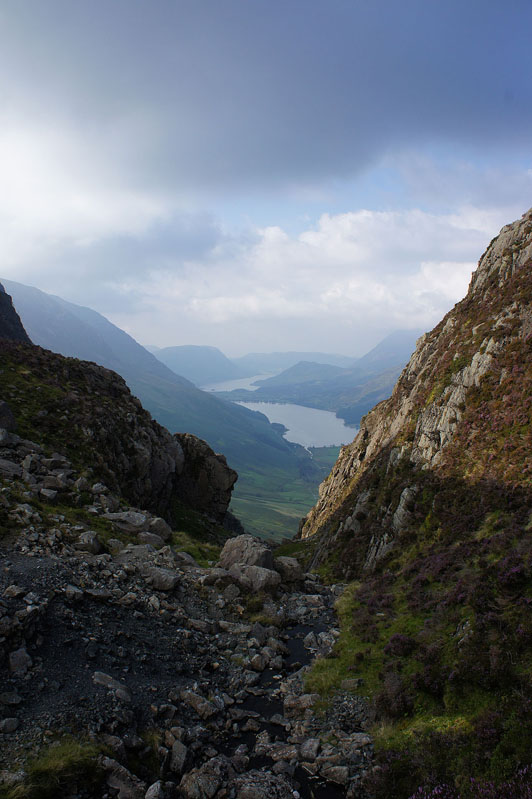
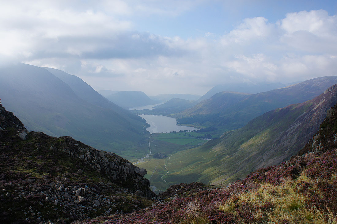
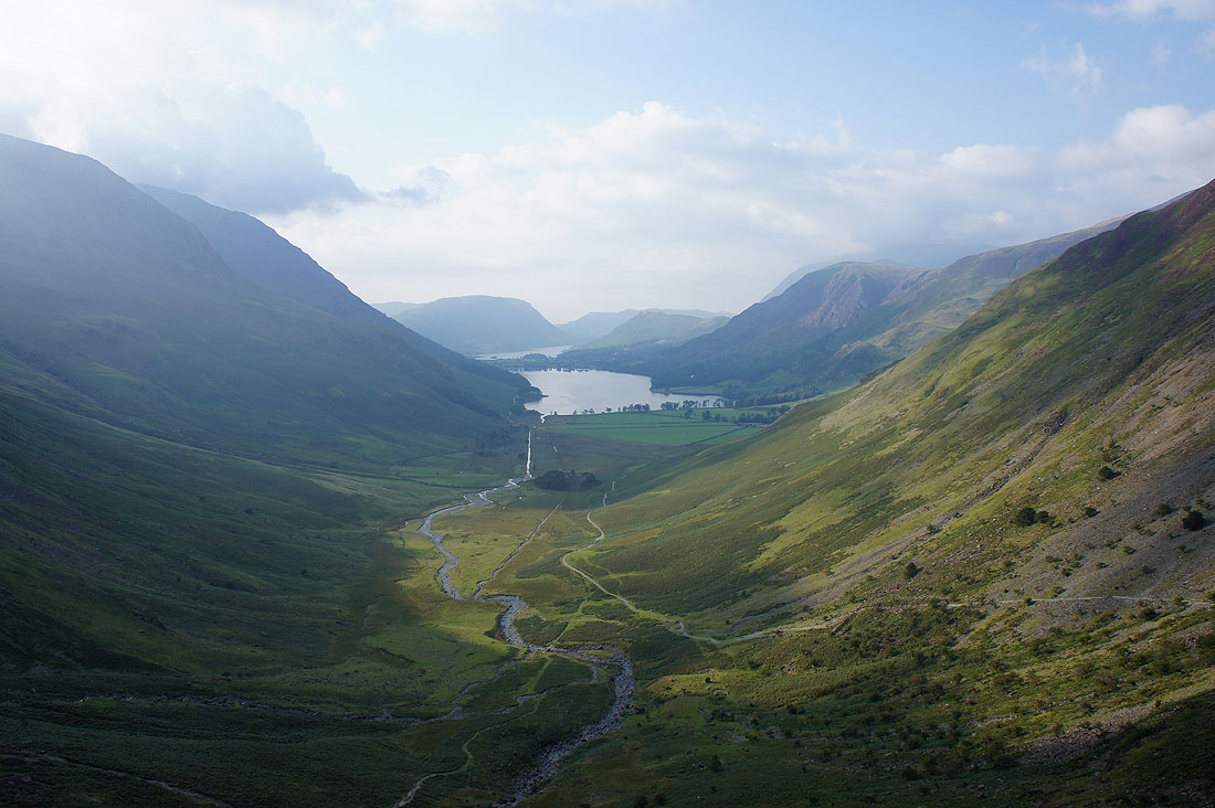
I couldn't resist the taking the opportunity of taking another photo of the Buttermere valley from this spot
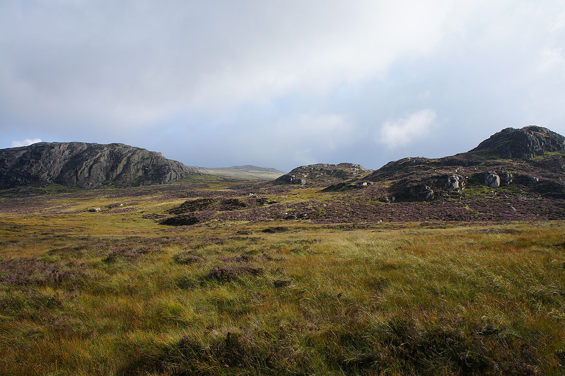
On from the path down to Warnscale Bottom
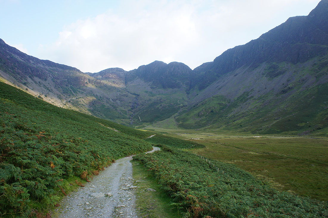
Looking back to Green Crag at the head of Warnscale Bottom
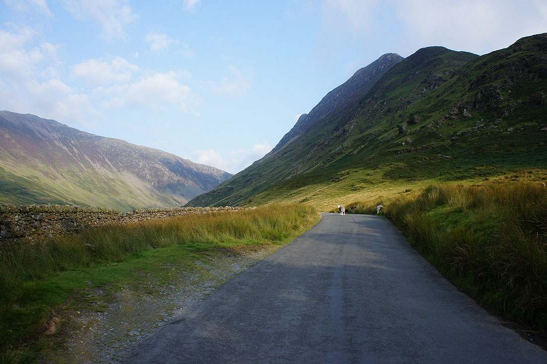
On the road up to the Honister Pass, bounded by Yew Crag and Honister Crag
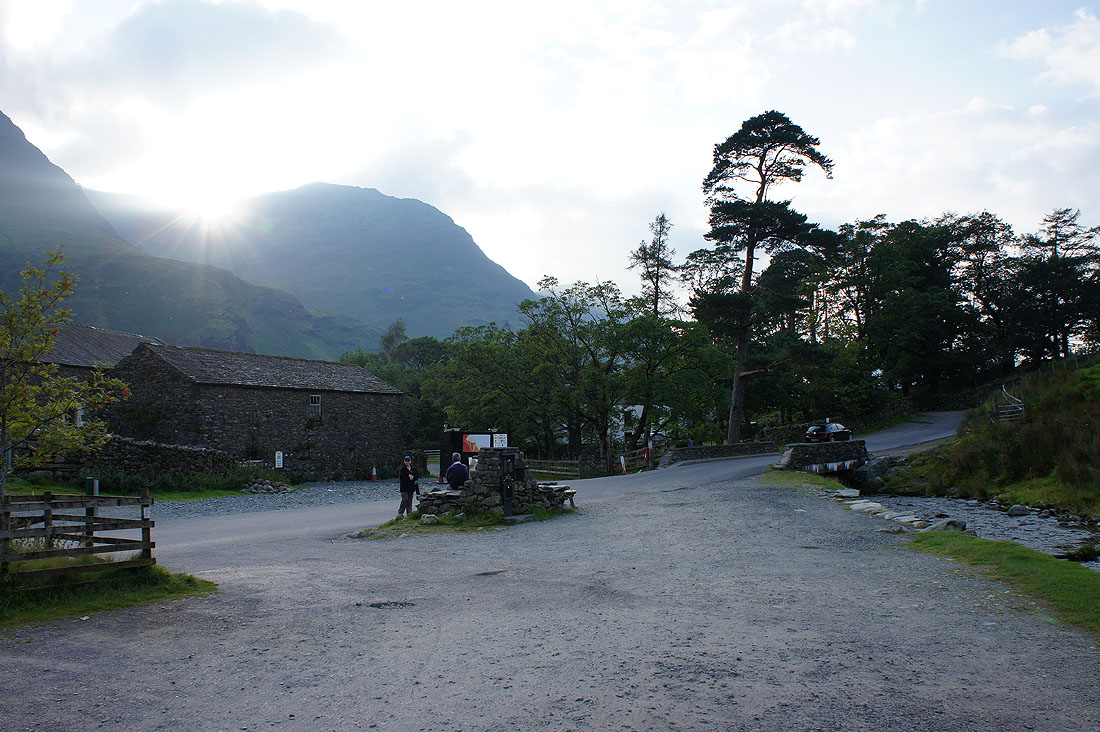
Back at Gatesgarth Farm as the sun sets behind High Stile
