8th September 2019 - Fountains Fell
Walk Details
Distance walked: 13.4 miles
Total ascent: 1983 ft
OS map used: OL2 - Yorkshire Dales, Southern & Western areas
Time taken: 7 hrs
Route description: Water Sinks car park-Pennine Way-Malham Tarn-Monk's Road-Middle House Farm-Back Pasture-Cowside-Pennine Way-Tennant Gill Farm-Pennine Way-Fountains Fell-Knowe Fell-Henside Road-Black Hill-Pennine Bridleway-Langscar Gate-Dean Moor Hill-Water Sinks car park
For my walk this weekend I decided to climb Fountains Fell from Malham Tarn. It's a route that I've done before but to make more of a day of it and to explore a bit of new ground I made a couple of additions. The first was leaving the Pennine Way by Malham Tarn and heading to Middle House Farm to cross the limestone moorland of Back Pasture, then joining the Pennine Way again near Tennant Gill Farm; and the second was using the Pennine Bridleway to return to Malham Tarn instead of sticking to walking along the road all the way from leaving the bridleway off Knowe Fell. I was certainly glad that I decided to take the Pennine Bridleway. I don't particularly enjoy having to spend lots of time walking along tarmacked roads. It was a really nice early autumn day for being on the fells with sunny spells, good visibility and just a gentle breeze. That light wind made for some nice reflections in Malham Tarn when I passed it in the morning.
From the Water Sinks car park I set off by taking the Pennine Way north to Malham Tarn, and then round its eastern shore to where I picked up the Monk's Road path east across the side of Great Close Hill to Middle House Farm. I briefly followed the bridleway north from here up onto Back Pasture Hill, but soon left it when it made a right hand turn for a track then path northwest across Back Pasture and Cowside, and then down to where the Pennine Way meets the Malham to Arncliffe road. I then followed the Pennine Way north to Tennant Gill Farm and then up onto Fountains Fell, where I stopped for lunch at the top of the path on the northern edge of the summit plateau. Break had, I walked the short distance south to the summit cairn on Fountains Fell and then continued by following the wall south along the ridge to the trig point on Knowe Fell, and then on down the fellside to where I picked up the bridleway southwest down to Henside Road. After walking southeast along the road towards Capon Hall I reached a footpath on the right signposted for Langcliffe. I took this and followed it southwest onto access land, then left it for a faint path south across the side of Black Hill to reach the Pennine Bridleway, which took me east to Langscar Gate. After crossing the road at Langscar Gate I took the bridleway north past Dean Scar back to the Water Sinks car park.
Route map
© Crown copyright. All rights reserved. License number PU 100034184.
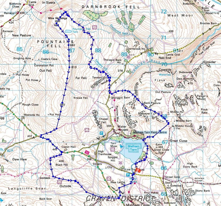
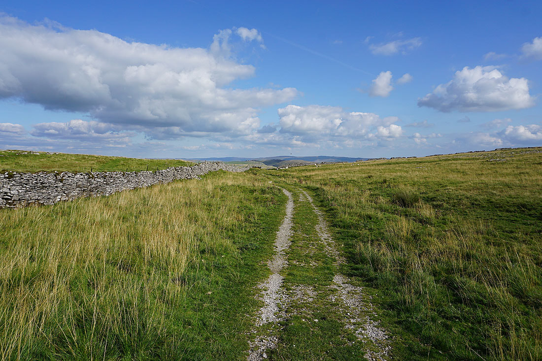
It's a beautiful morning as I set off from the Water Sinks car park and onto the Pennine Way
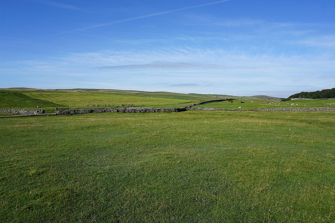
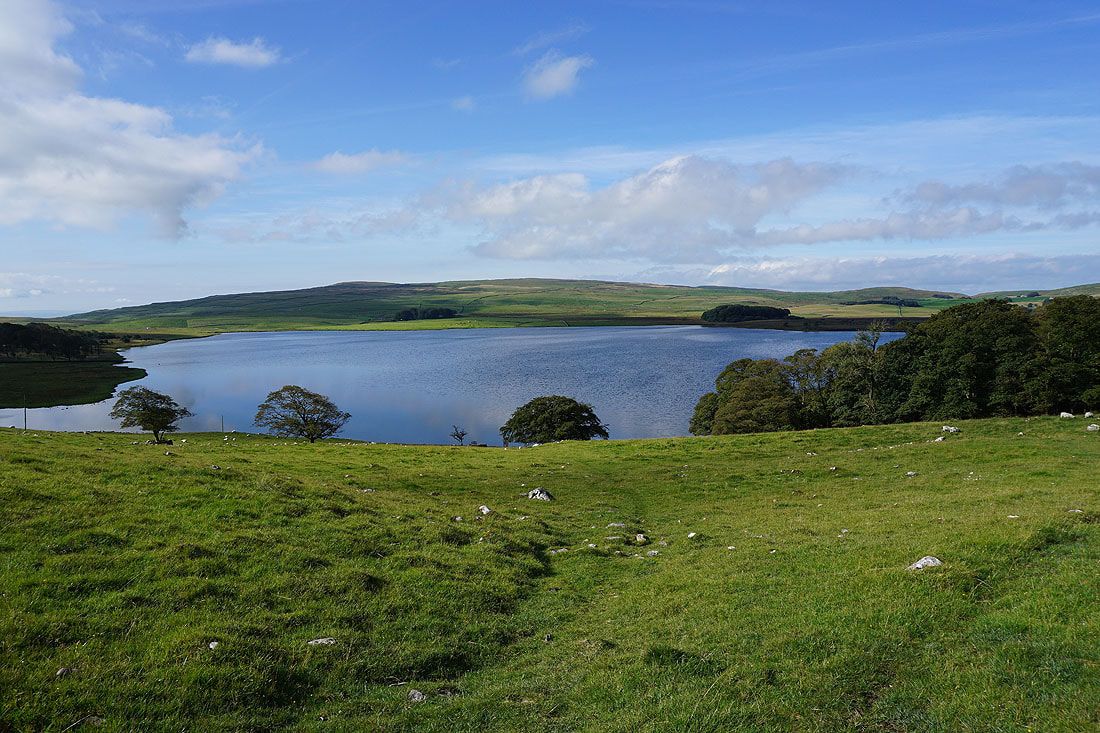
Malham Tarn from Tarn Foot
On the Pennine Way to Great Close Scar
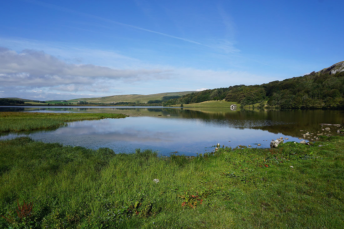
Great reflections in Malham Tarn this morning. I took a lot of photos and these two were my favourites..
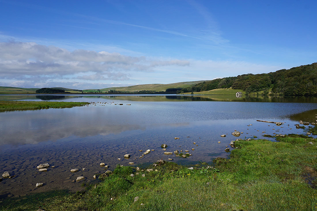
I leave Malham Tarn behind..
..for the Monk's Road path to Middle House Farm
Looking back with Great Close Hill on the left
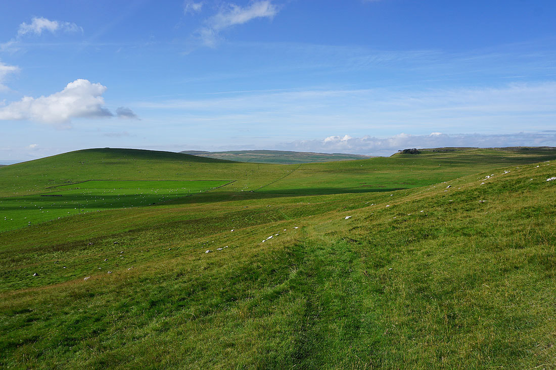
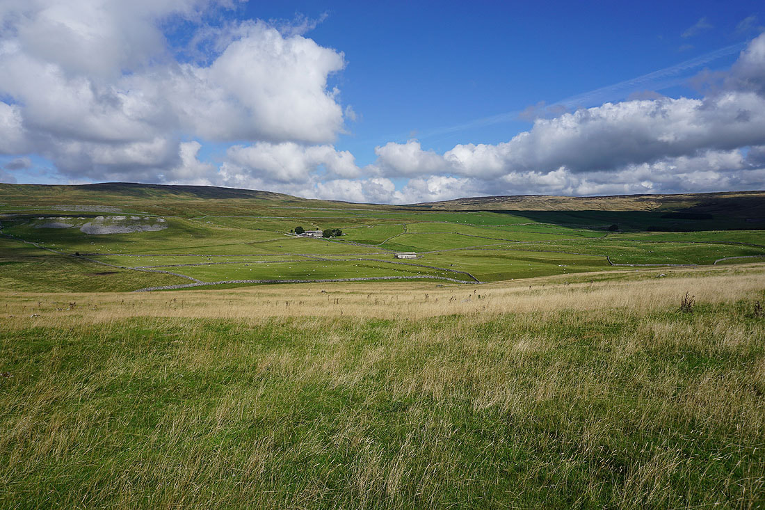
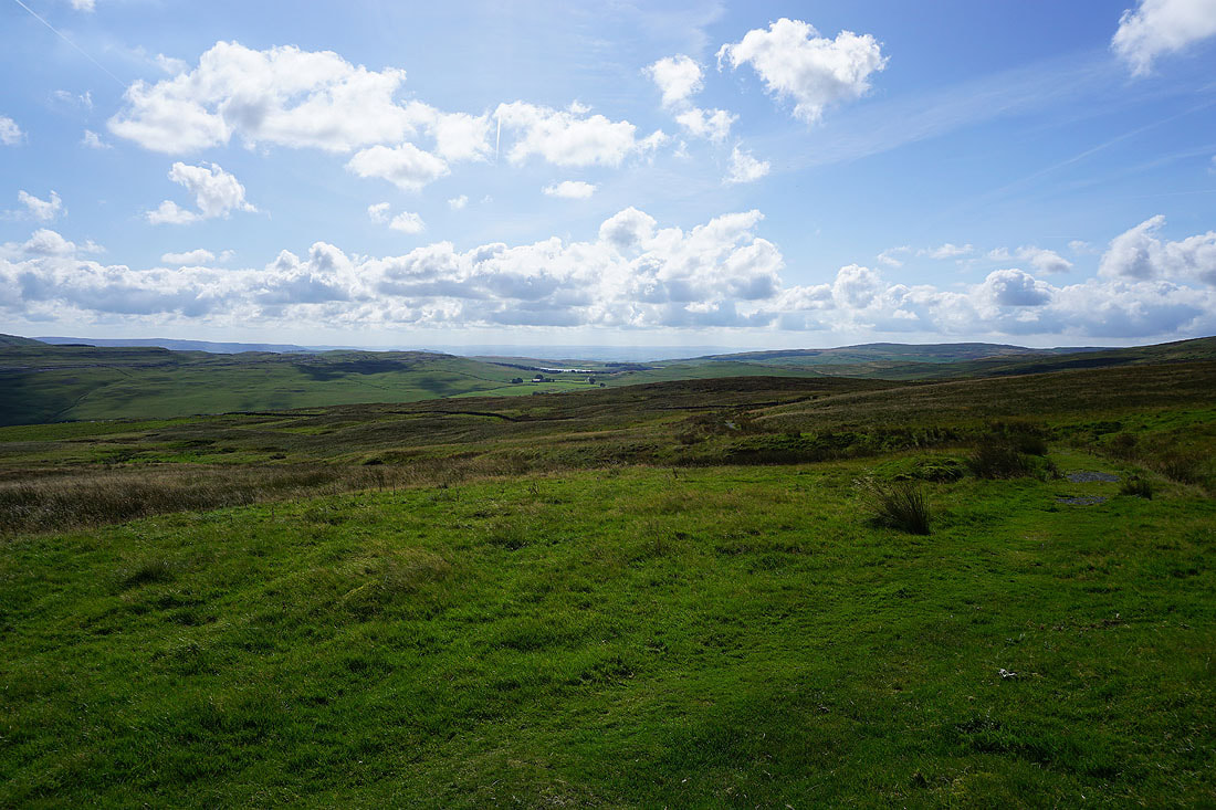
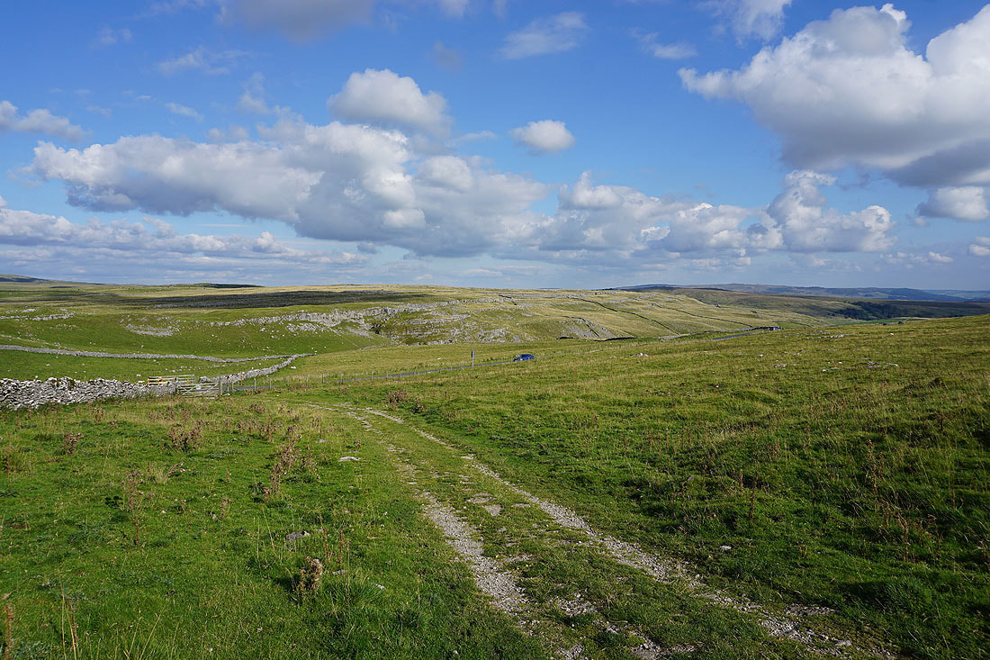
From Middle House Farm I take a path northwest on access land across the limestone moorland of Back Pasture
Great Close Hill and a glimpse of Pendle Hill in the distance
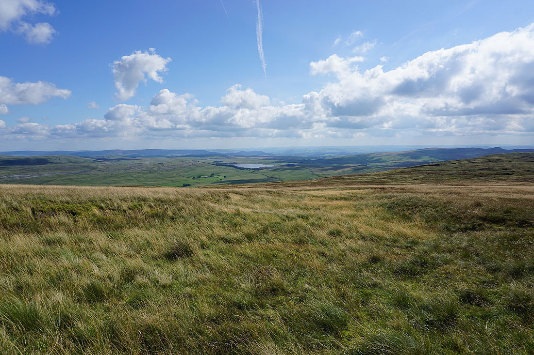
Fountains Fell and Darnbrook Fell ahead
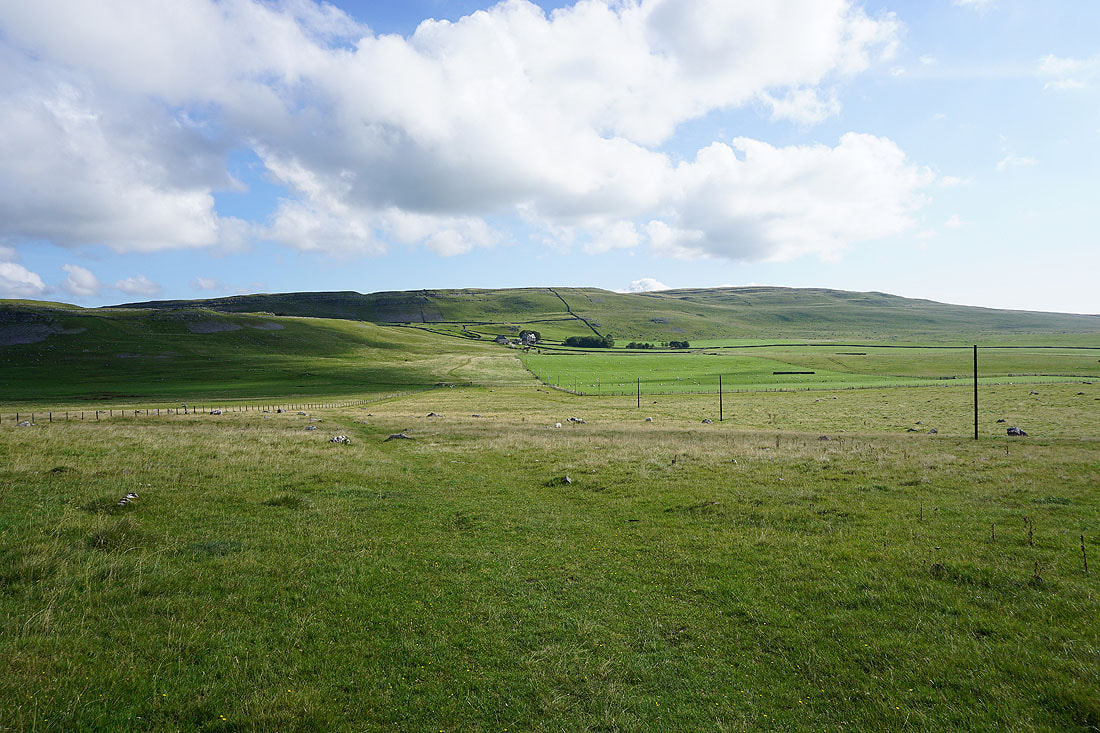
Tennant Gill Farm on the slopes beneath Fountains Fell
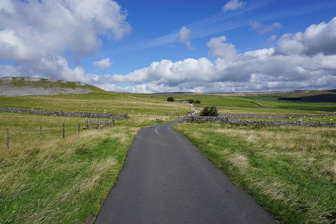
Great Hill Scar on the left as I walk along the Malham to Arncliffe road to join the Pennine Way to Tennant Gill Farm
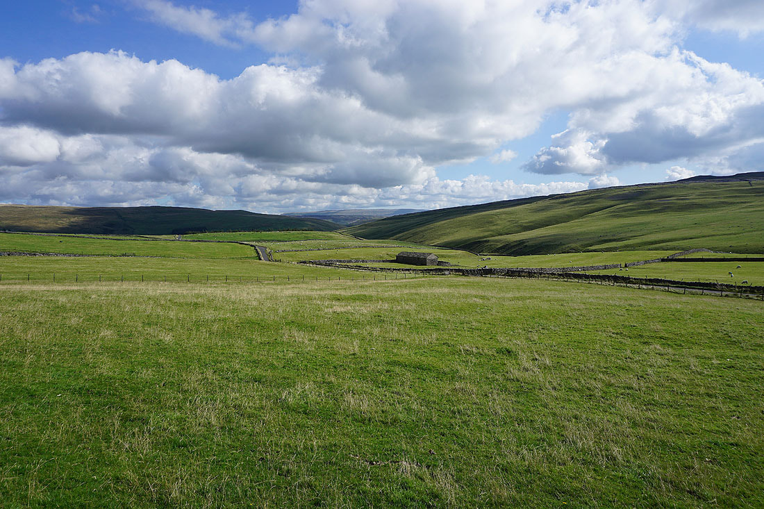
Looking down the valley of Cowside Beck with Great Whernside in the distance
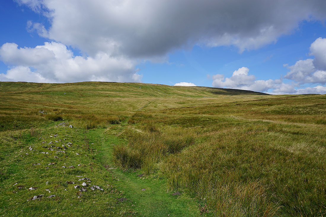
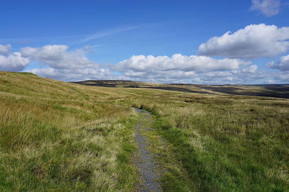
On the Pennine Way up onto Fountains Fell
As I gain height I can see Malham Tarn in the distance when I look back
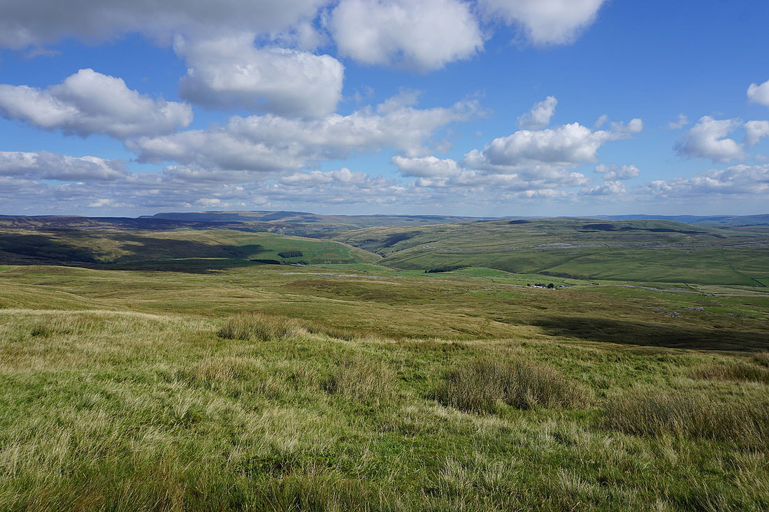
Darnbrook Fell, Fountains Fell's near neighbour, fills my view at the moment
Great Whernside and the other fells around Wharfedale and Littondale to the east
The final climb up onto the summit plateau
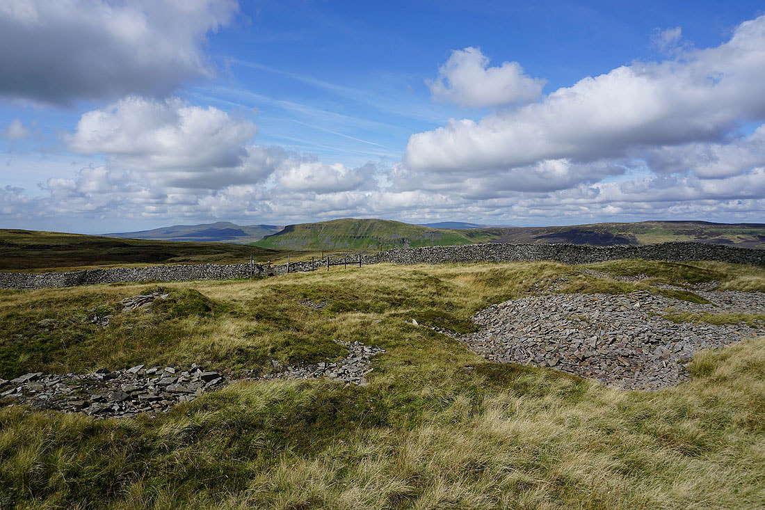
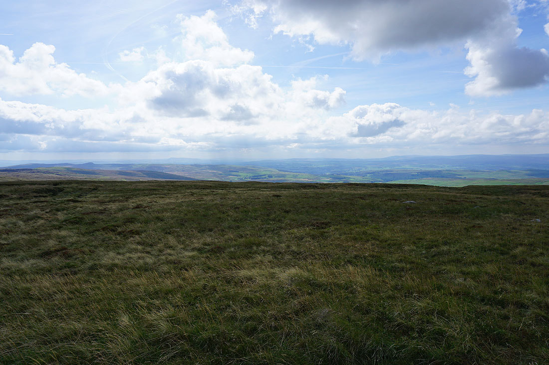
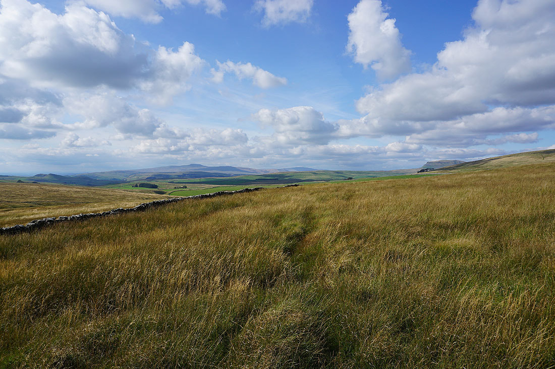
Ingleborough, Penyghent and Whernside from Fountains Fell. This isn't the actual summit, which is only a few minutes walk away, but where the Pennine Way crosses the fell and heads down into Silverdale.
Buckden Pike and Great Whernside in the distance beyond Darnbrook Fell and Birks Fell
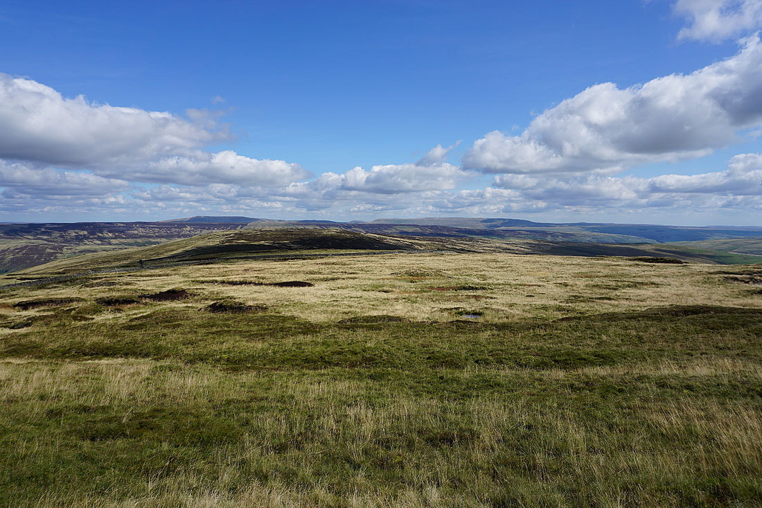
Looking north to Dodd Fell Hill, Great Shunner Fell, Lovely Seat, Horse Head Moor and Yockenthwaite Moor
The limestone moors north of Malham to the southeast, with Barden Fell and Barden Moor in the distance
I couldn't resist taking a couple more photos of the view across to Buckden Pike and Great Whernside..
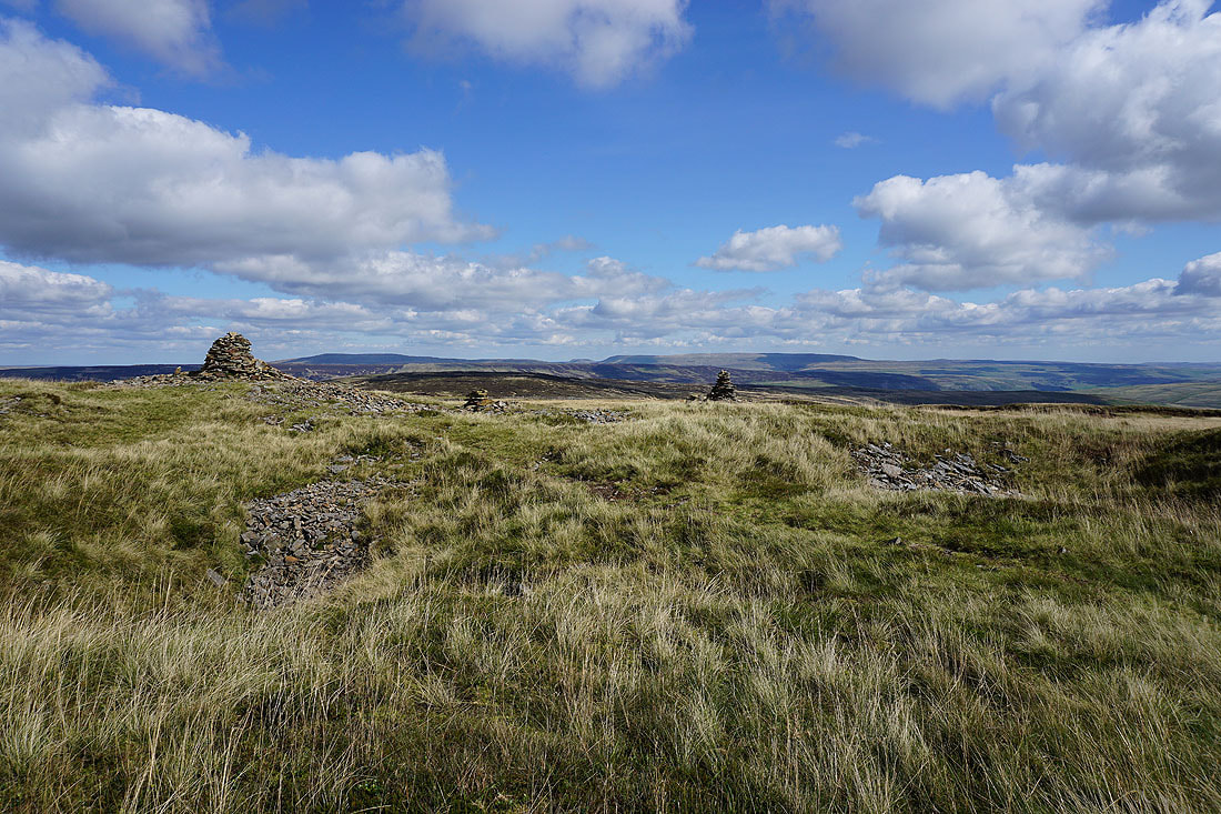
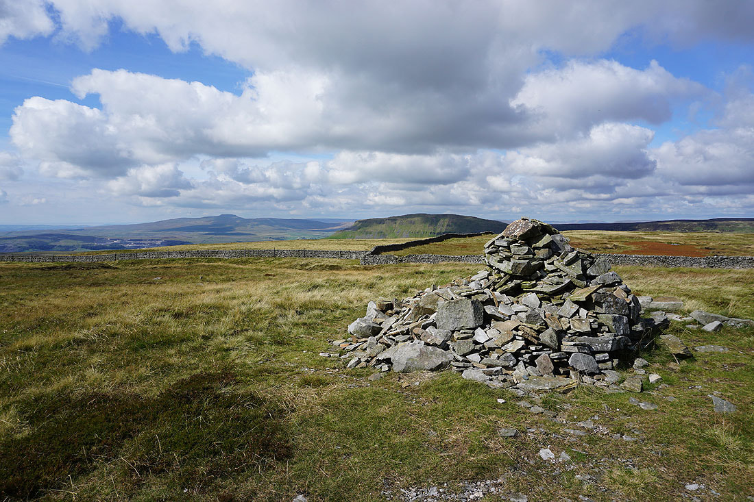
Ingleborough and Penyghent from the summit cairn on Fountains Fell
Plover Hill, Dodd Fell Hill, Great Shunner Fell, Lovely Seat, Horse Head Moor and Yockenthwaite Moor
The view across Ribblesdale towards Pendle Hill and the Forest of Bowland is a bit on the hazy side
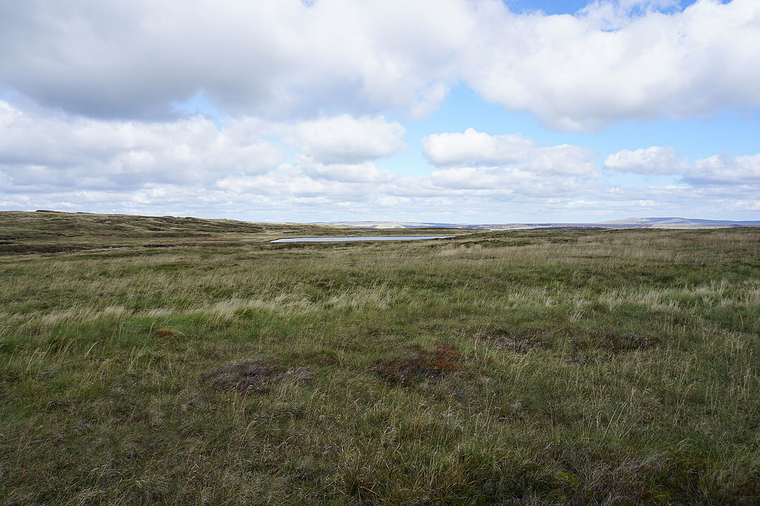
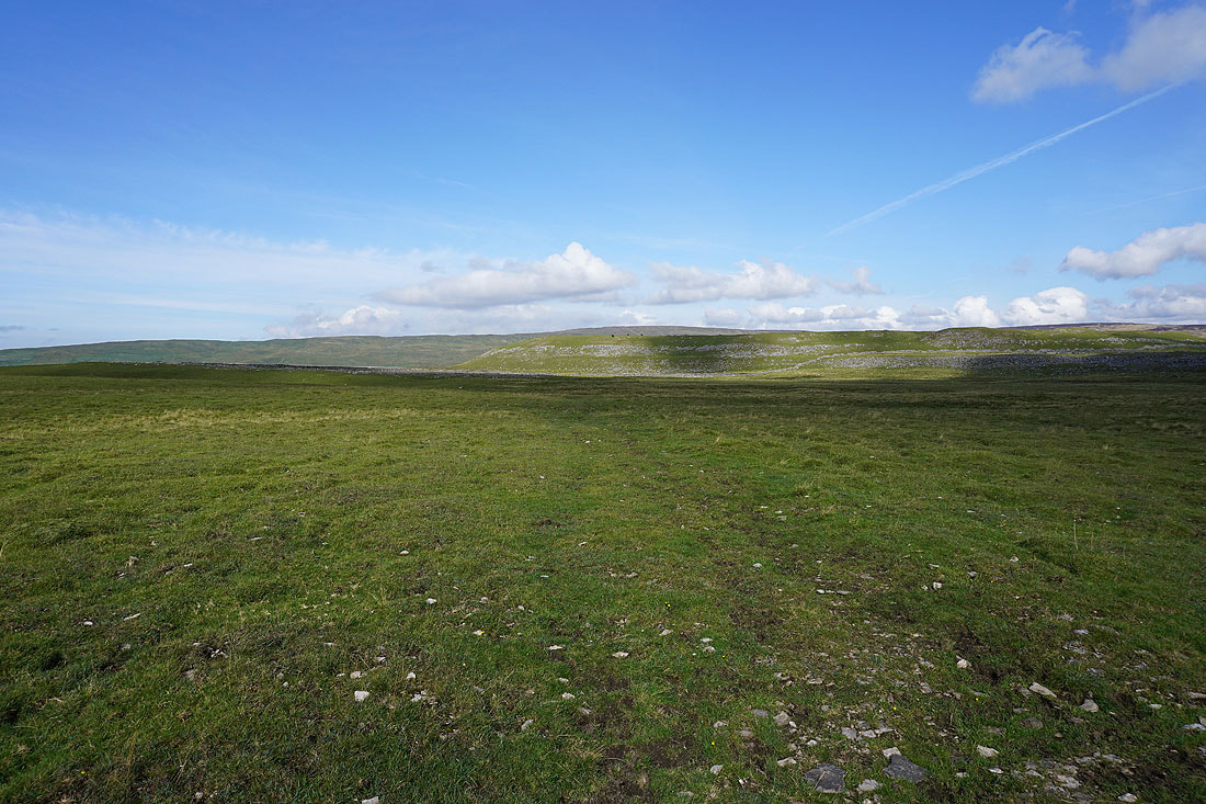
Passing Fountains Fell Tarn
Buckden Pike and Great Whernside from the south top of Fountains Fell
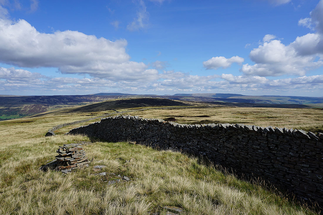
and a wall running across the fell adds a bit of interest in the foreground
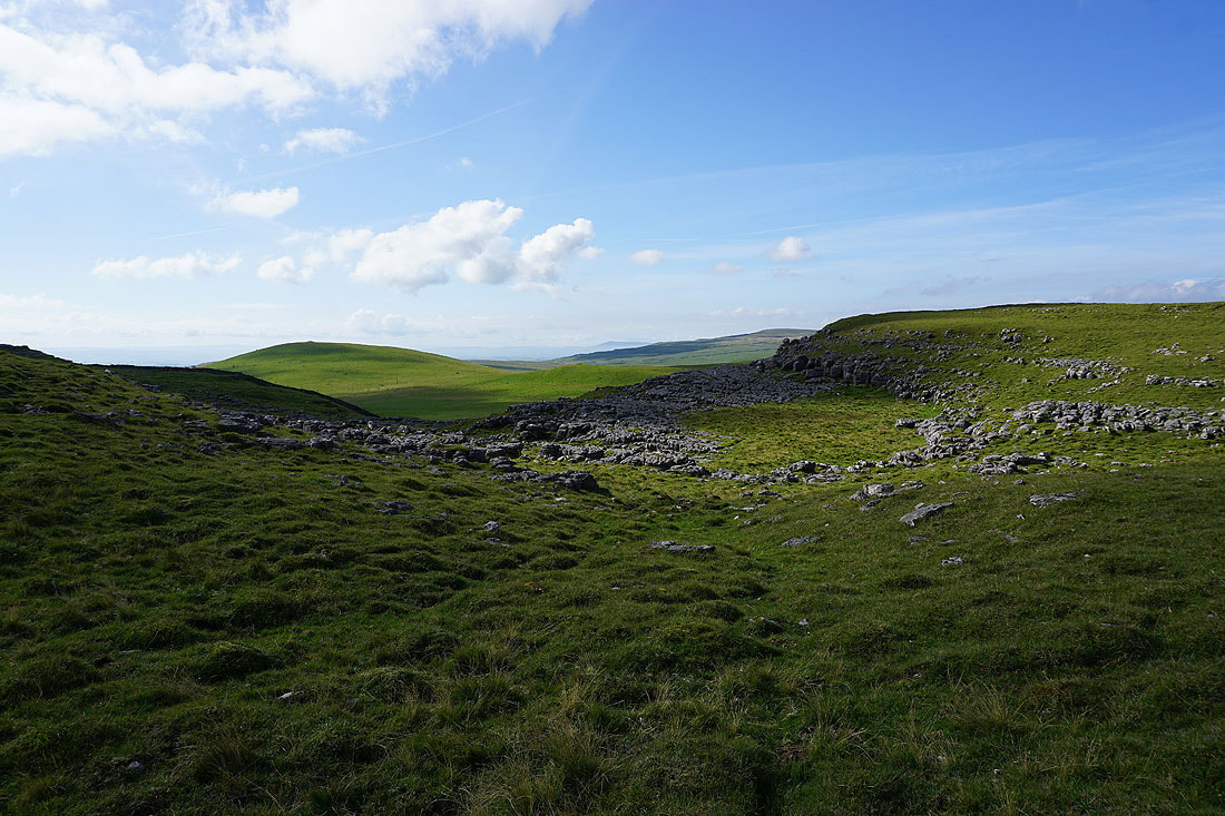
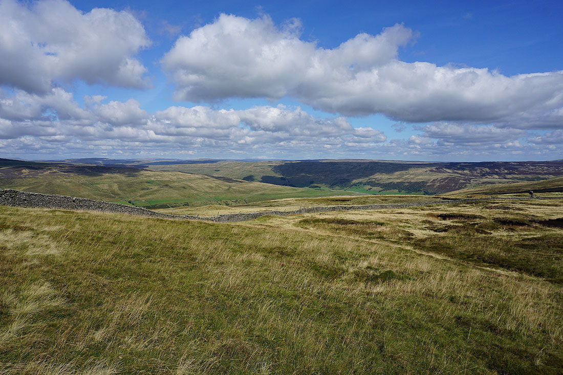
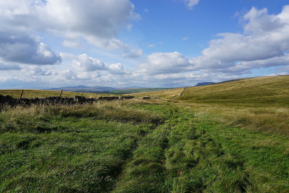
There's a great view of Malham Tarn as I follow the ridge south towards Knowe Fell
Great Whernside, Parson's Pulpit and Proctor High Mark with Tennant Gill Farm below
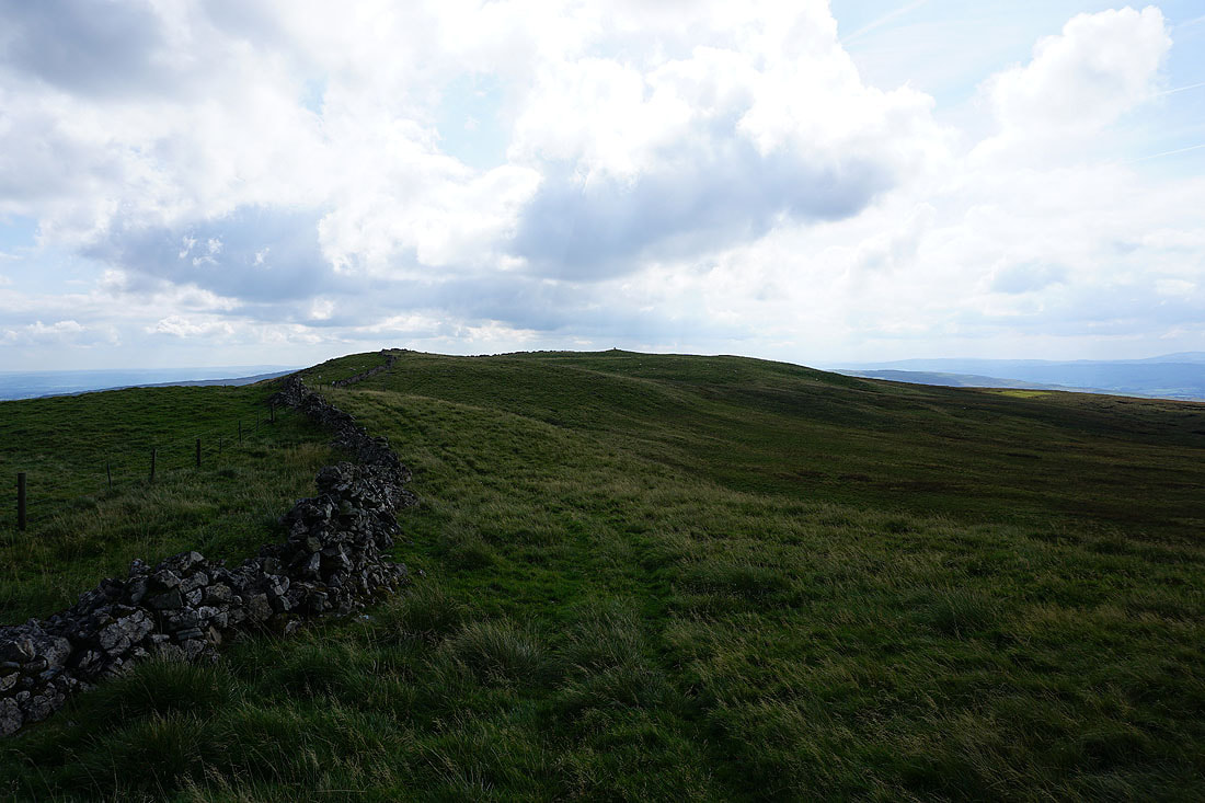
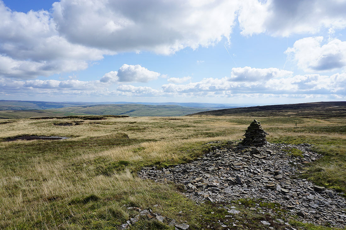
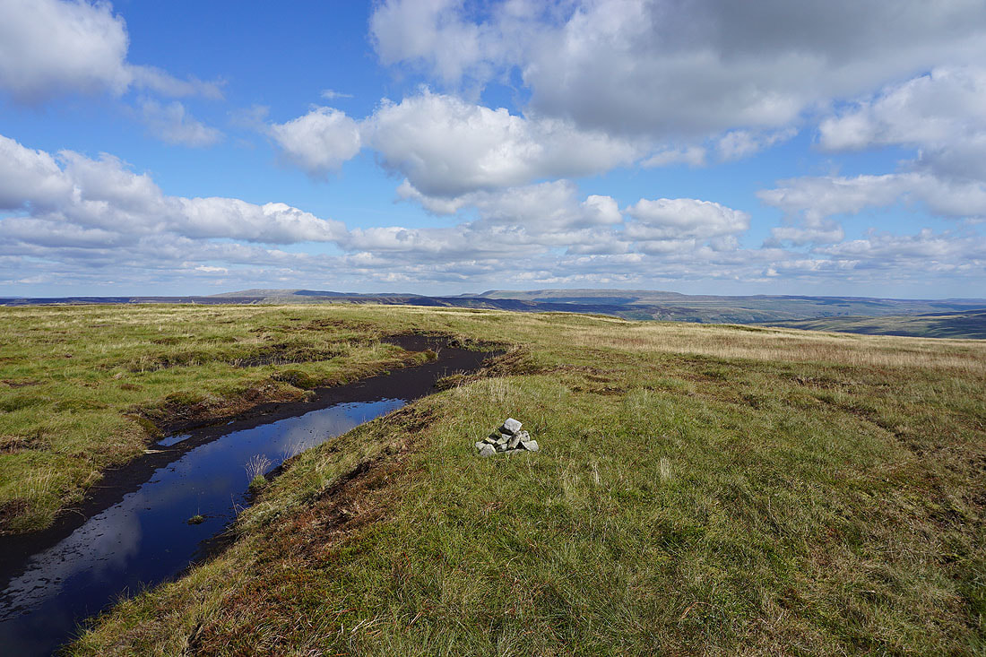
The trig point on Knowe Fell is in sight
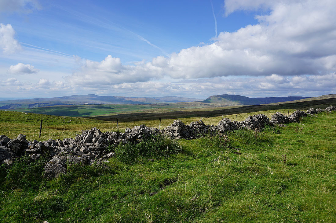
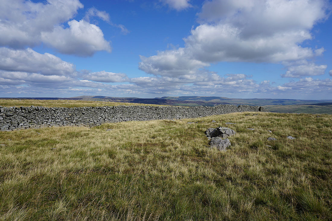
Ingleborough, Whernside and Penyghent with a limestone wall for a foreground
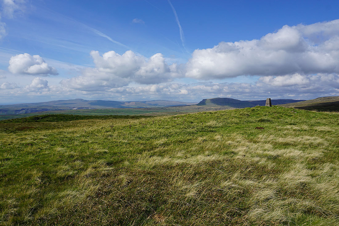
and with the trig point in the shot
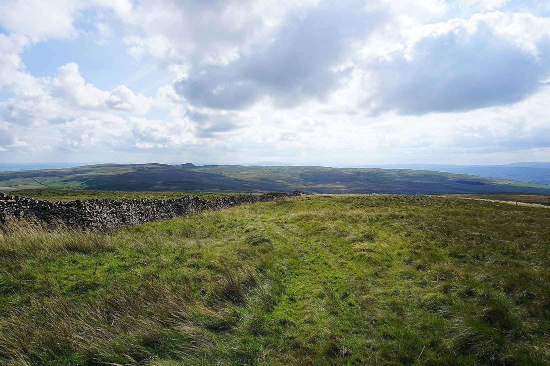
Rye Loaf Hill with Pendle Hill in the distance as I follow the wall south down Knowe Fell
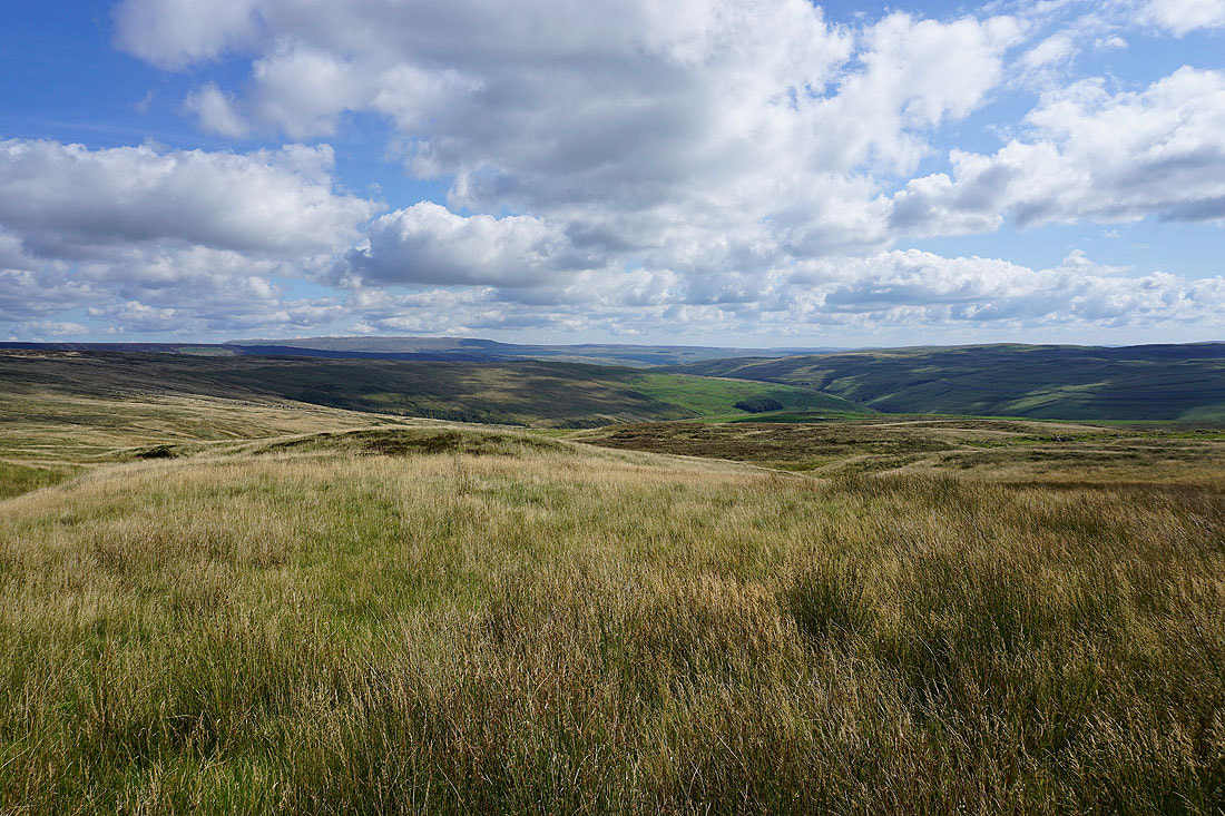
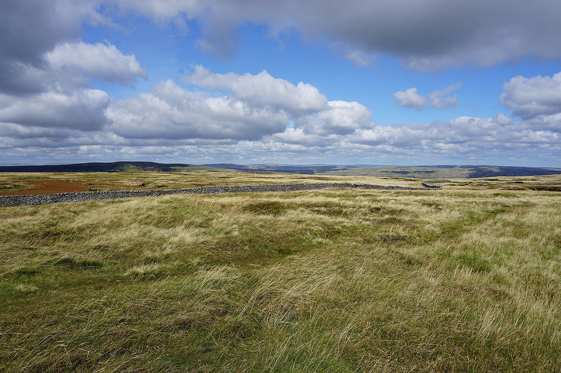
Looking across Ribblesdale to the Forest of Bowland in the distance from the bridleway down to Henside Road
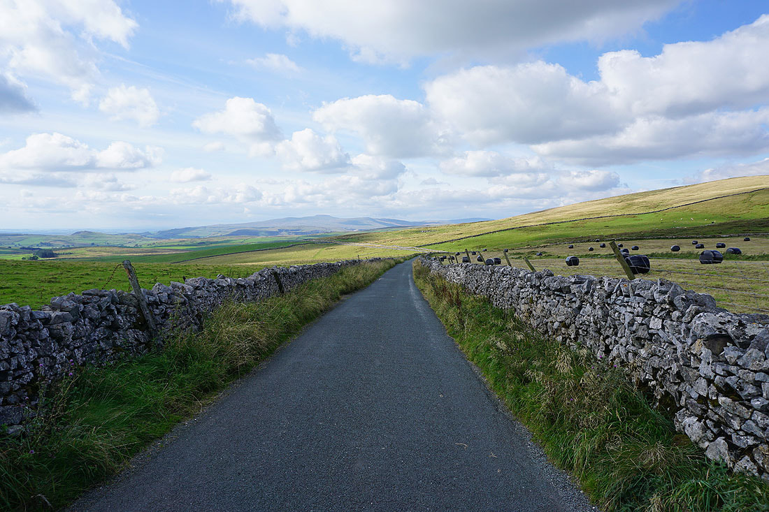
Ingleborough from the Langcliffe to Malham road
This view of Ingleborough, Whernside and Penyghent from Black Hill might be be favourite of the day..
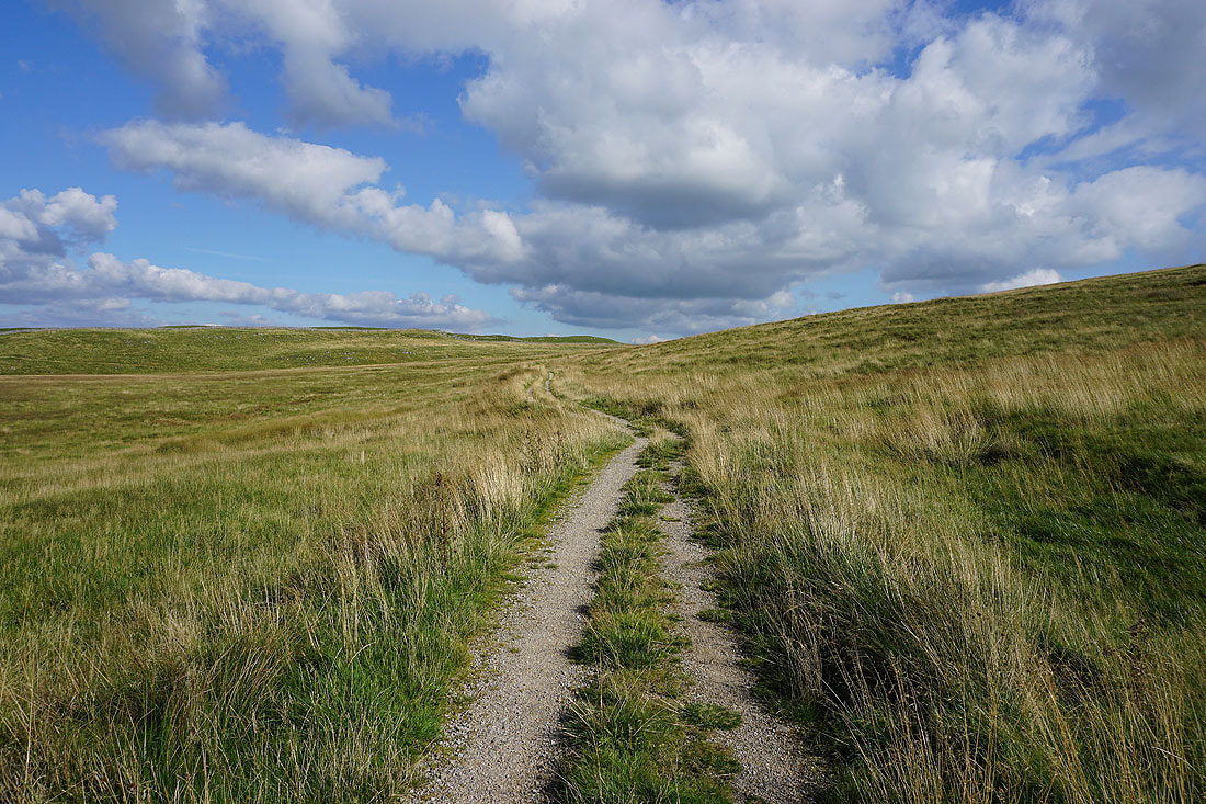
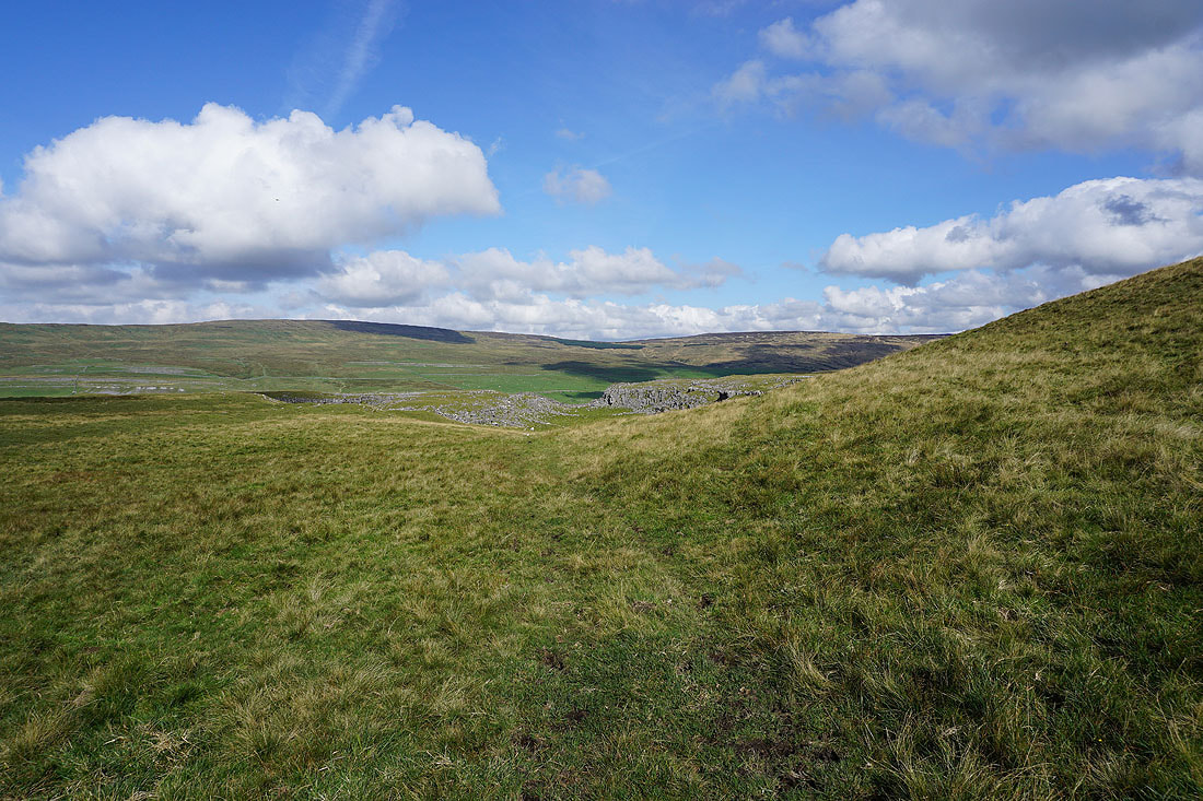
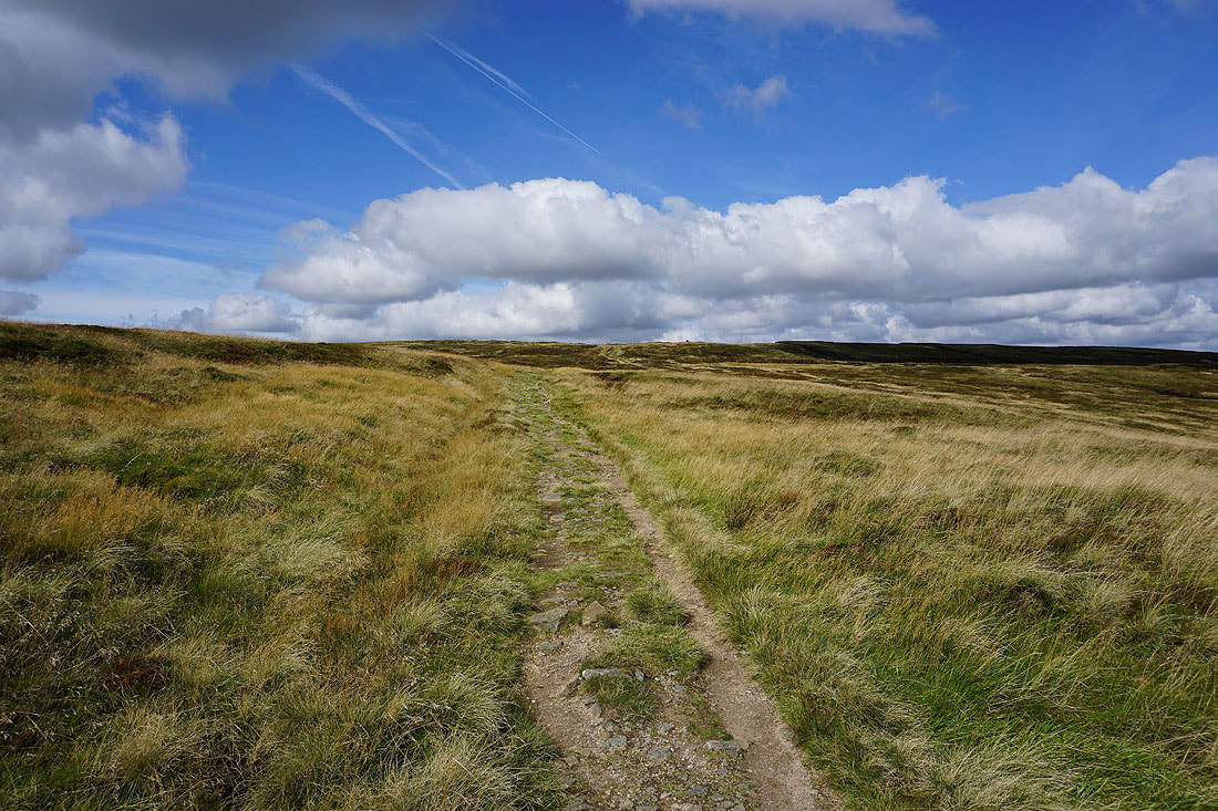
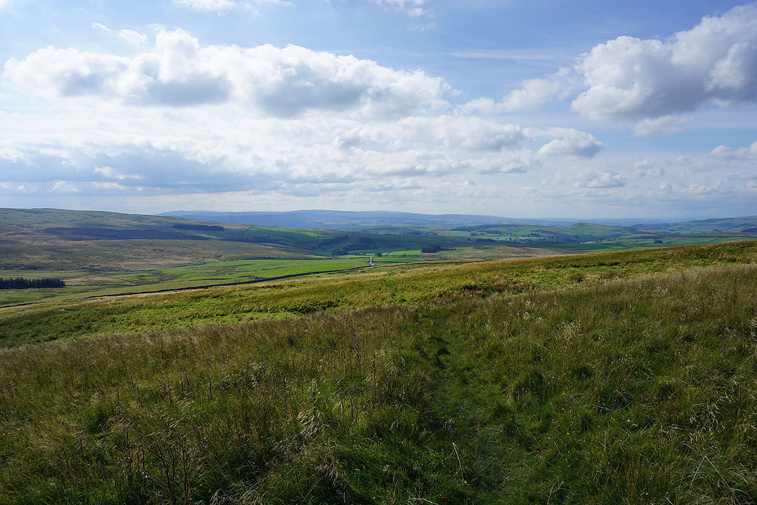
On the Pennine Bridleway to Langscar Gate
A last look back to Ingleborough in the distance
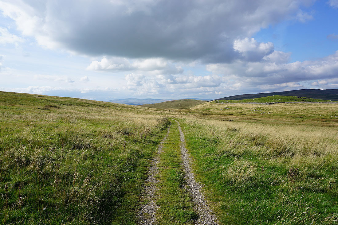
Heading down to Langscar Gate..
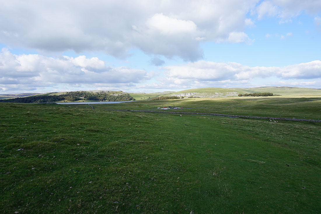
Highfolds Scar, Malham Tarn and Great Close Hill as I head back to the Water Sinks car park