9th April 2011 - The northern Coniston fells
Walk Details
Distance walked: 10.4 miles
Total ascent: 3533 ft
OS map used: OL6 - The English Lakes, South-western area & OL7 - The English Lakes, South-eastern area
Time taken: 8 hrs
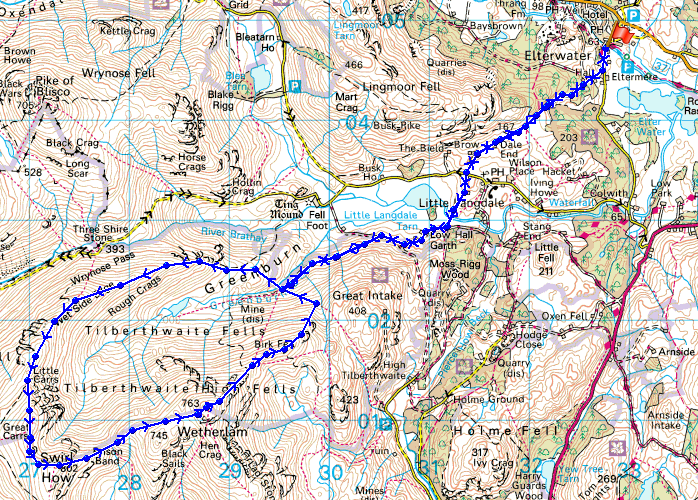
Route description: Elterwater-Dale End-Slater Bridge-Low Hall Garth-Greenburn-Wet Side Edge-Little Carrs-Great Carrs-Swirl How-Prison Band-Wetherlam-Wetherlam Edge-Birk Fell Man-Greenburn-Low Hall Garth-Slater Bridge-Dale End-Elterwater
A walk from Elterwater into Little Langdale with an ascent of Wet Side Edge to Great Carrs, followed by Swirl How and Wetherlam. A descent of Wetherlam Edge with a walk back to Elterwater.
Route map
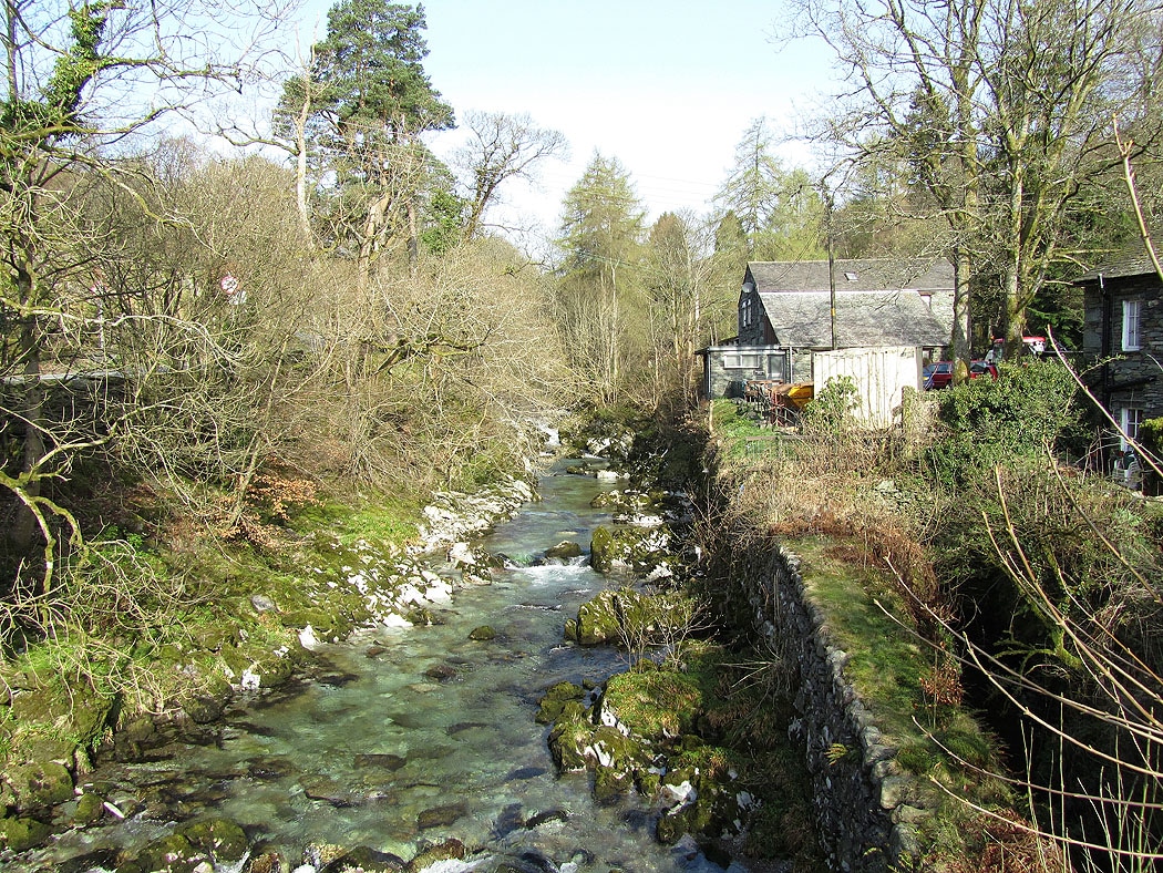
Great Langdale Beck in Elterwater
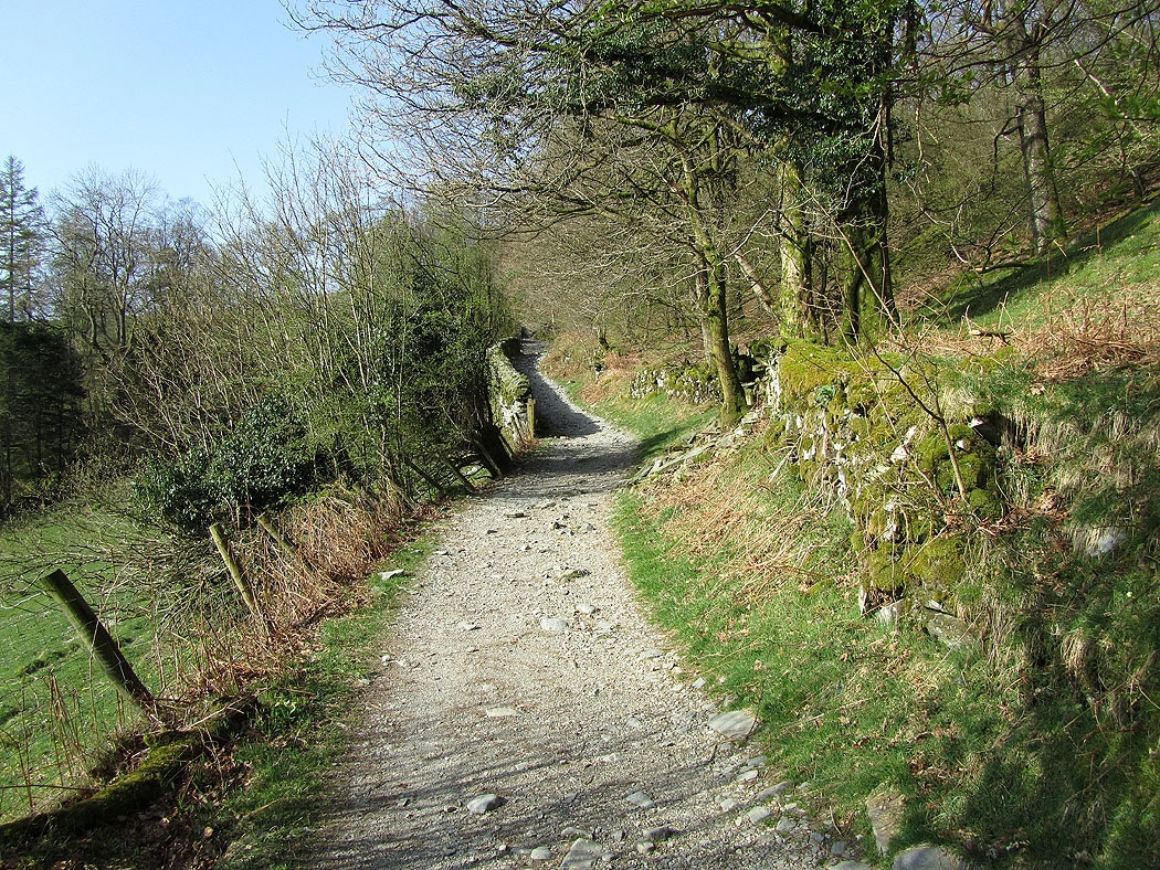
On the bridleway to Little Langdale
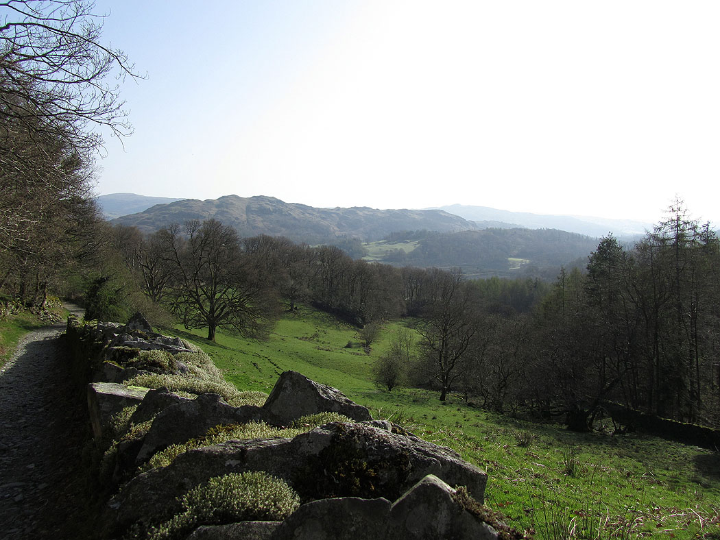
Loughrigg Fell
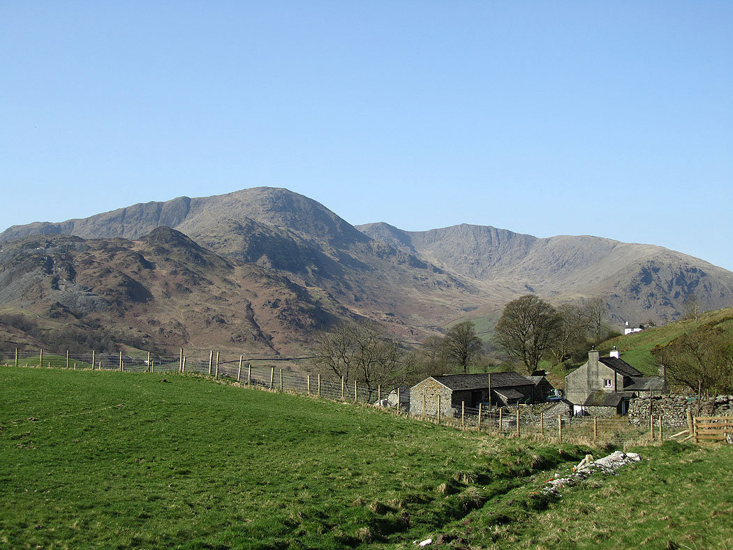
My objectives for the day. Wet Side Edge on the right leads up to Great Carrs then on to Swirl How. Wetherlam to the left.
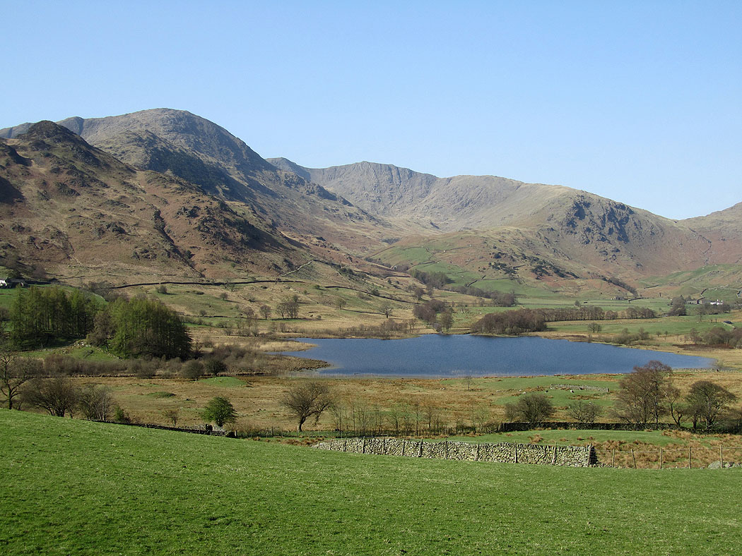
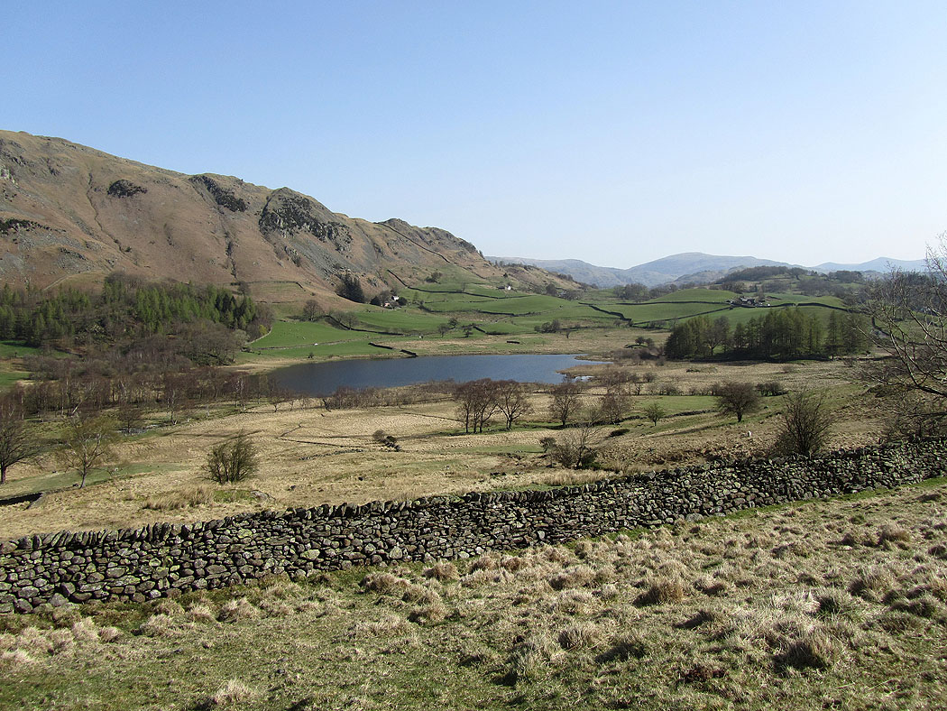
Little Langdale Tarn
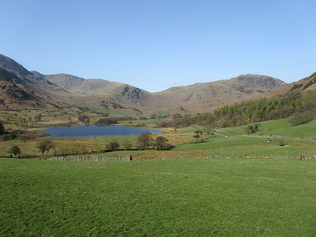
Little Langdale
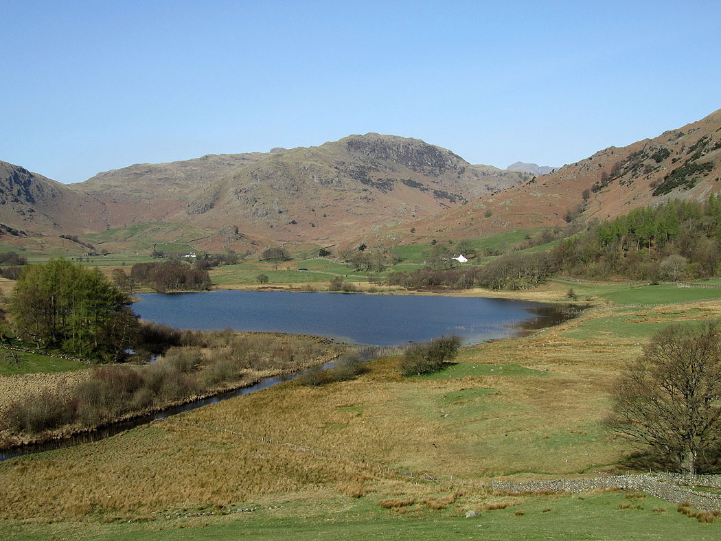
Little Langdale Tarn
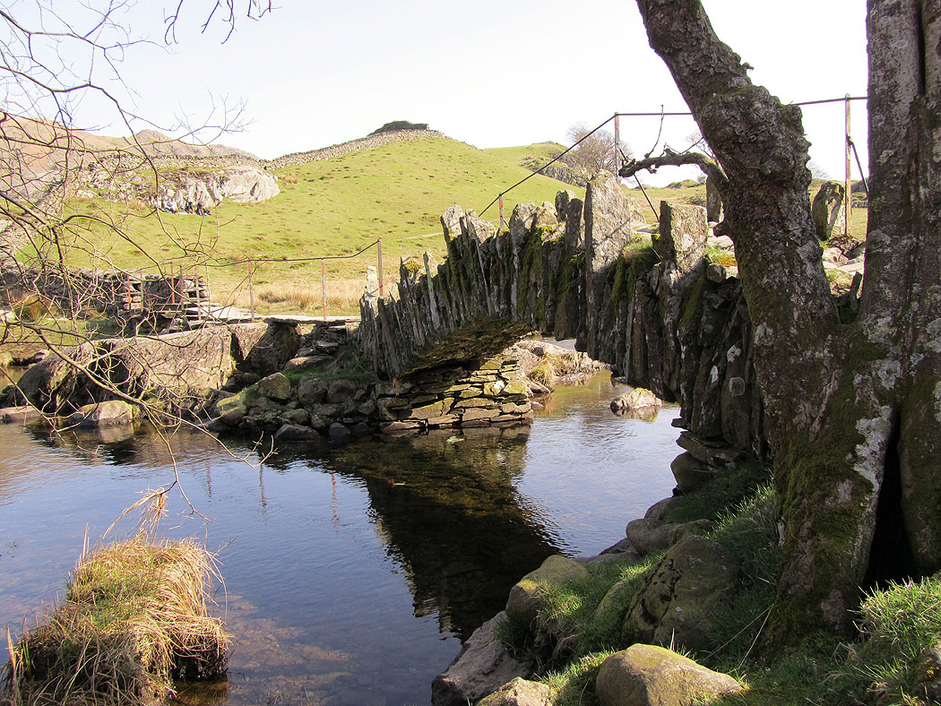
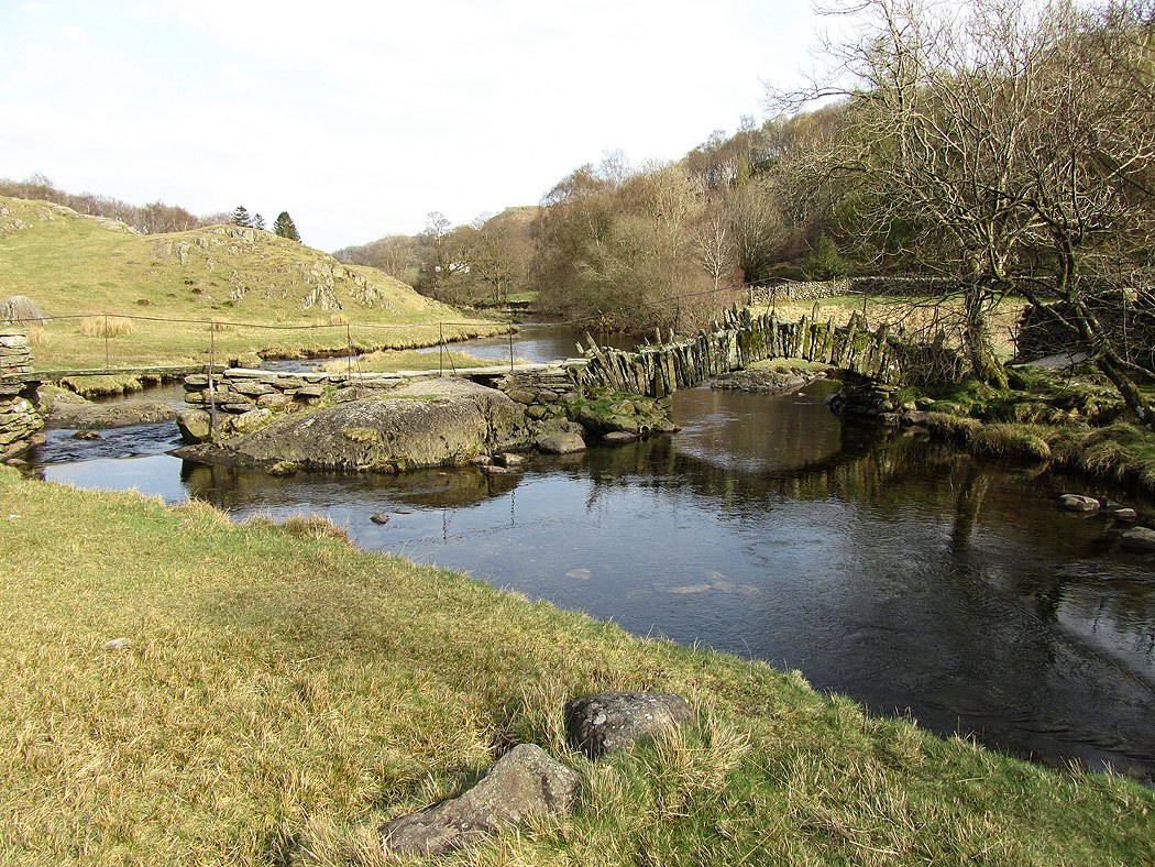
Slaters Bridge
Little Langdale Tarn
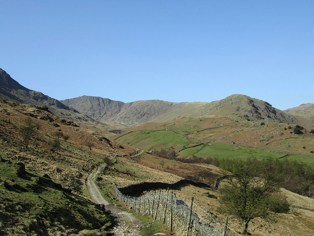
The route ahead. Wet Side Edge up to Great Carrs.
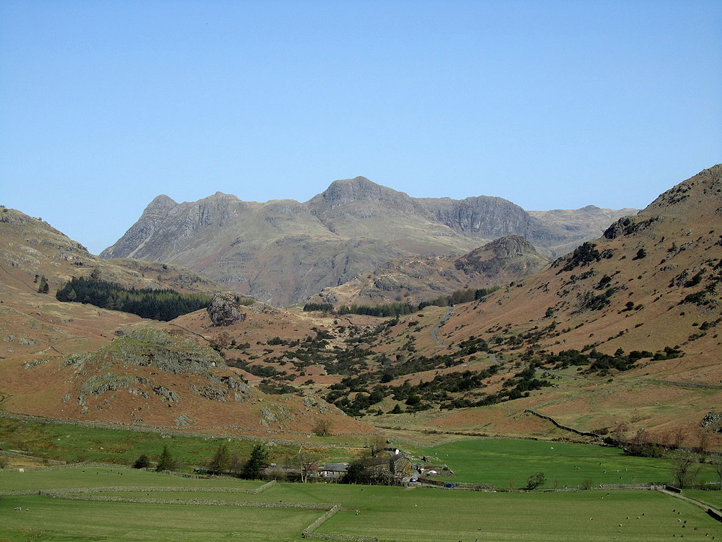
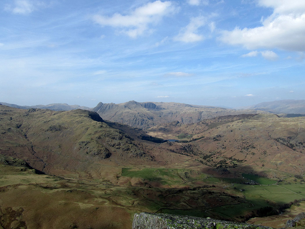
The Langdale Pikes through the Blea Tarn gap
Great Carrs at the head of Greenburn
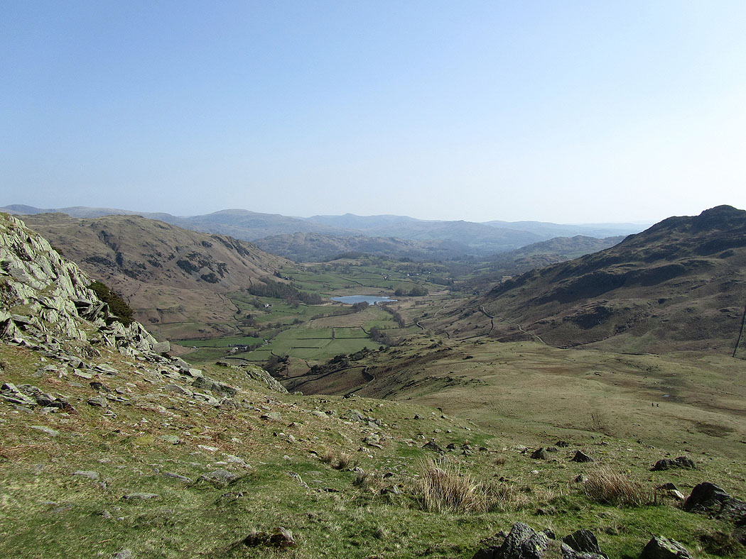
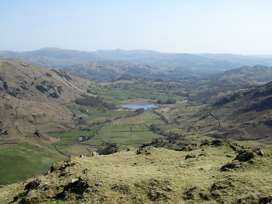
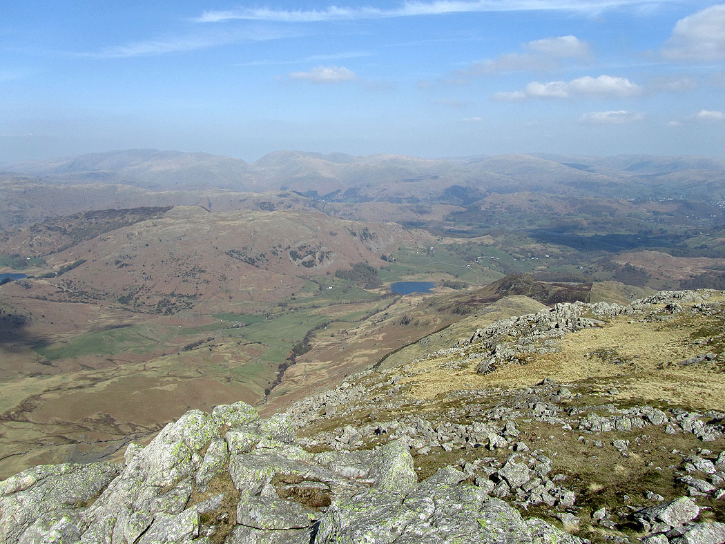
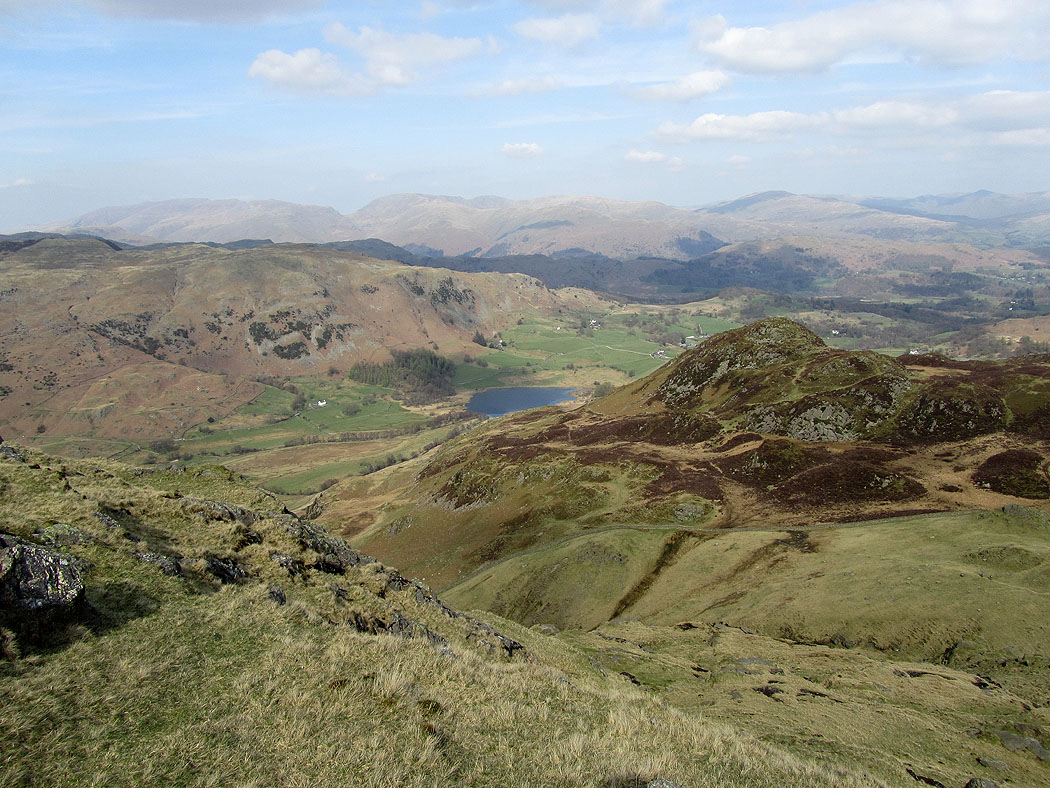
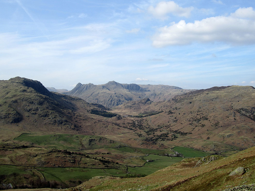
Little Langdale from Wet Side Edge
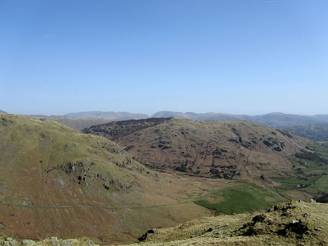
A view across to the eastern fells over Lingmoor Fell
Crinkle Crags and Pike o'Blisco
Little Langdale
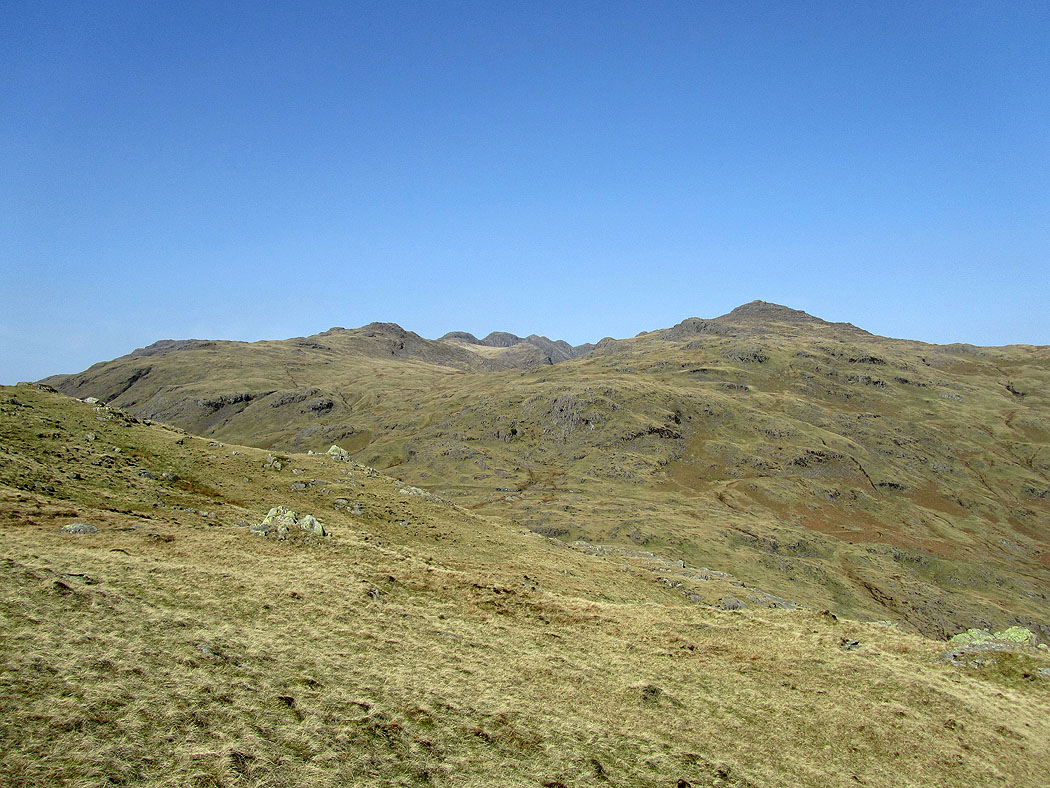
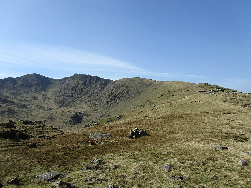
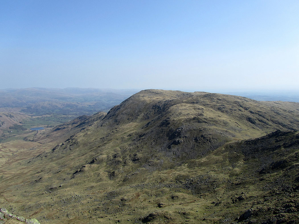
Wet Side Edge to Great Carrs and Swirl How
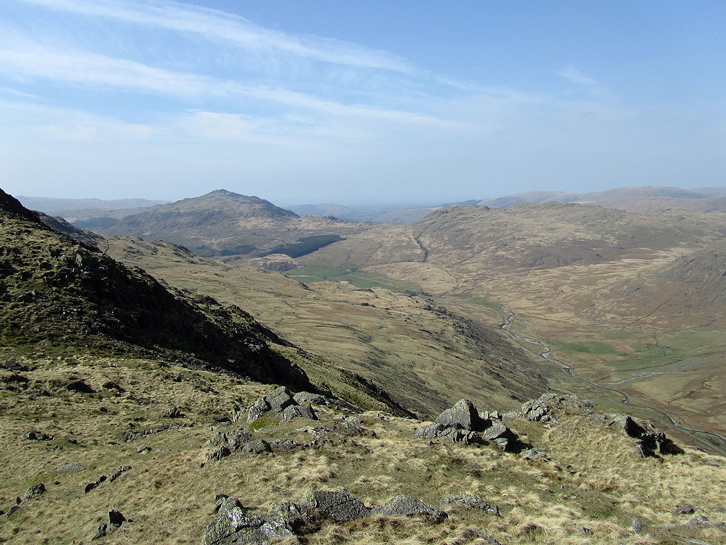
A view into the Duddon valley and the pointed top of Harter Fell
On Great Carrs. Despite the breeze it was warm enough to stay in short sleeves.
Wetherlam
The Scafell range, Crinkle Crags and Bowfell
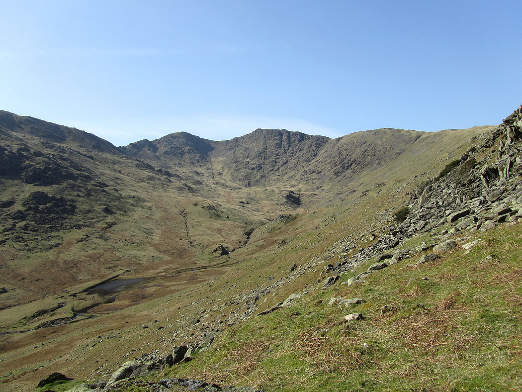
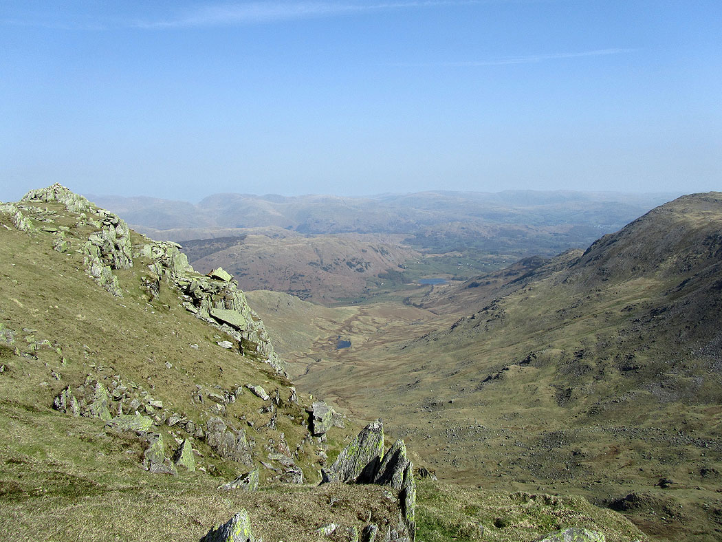
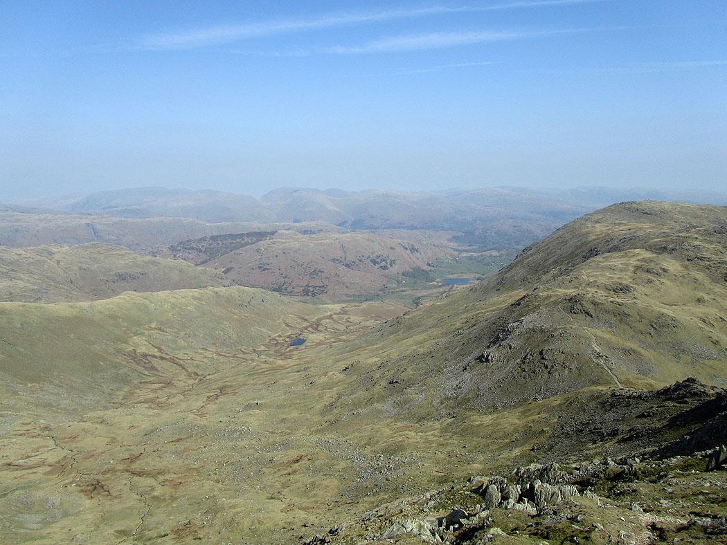
Greenburn from Great Carrs
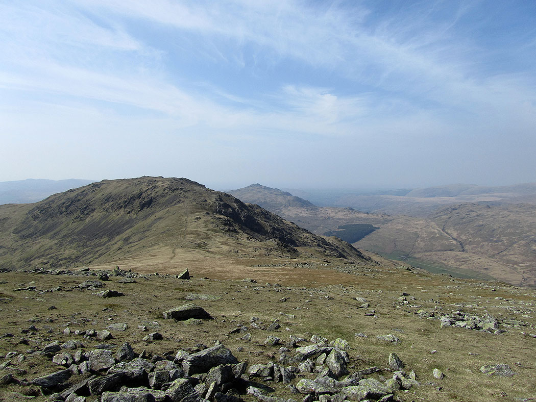
Grey Friar and Harter Fell
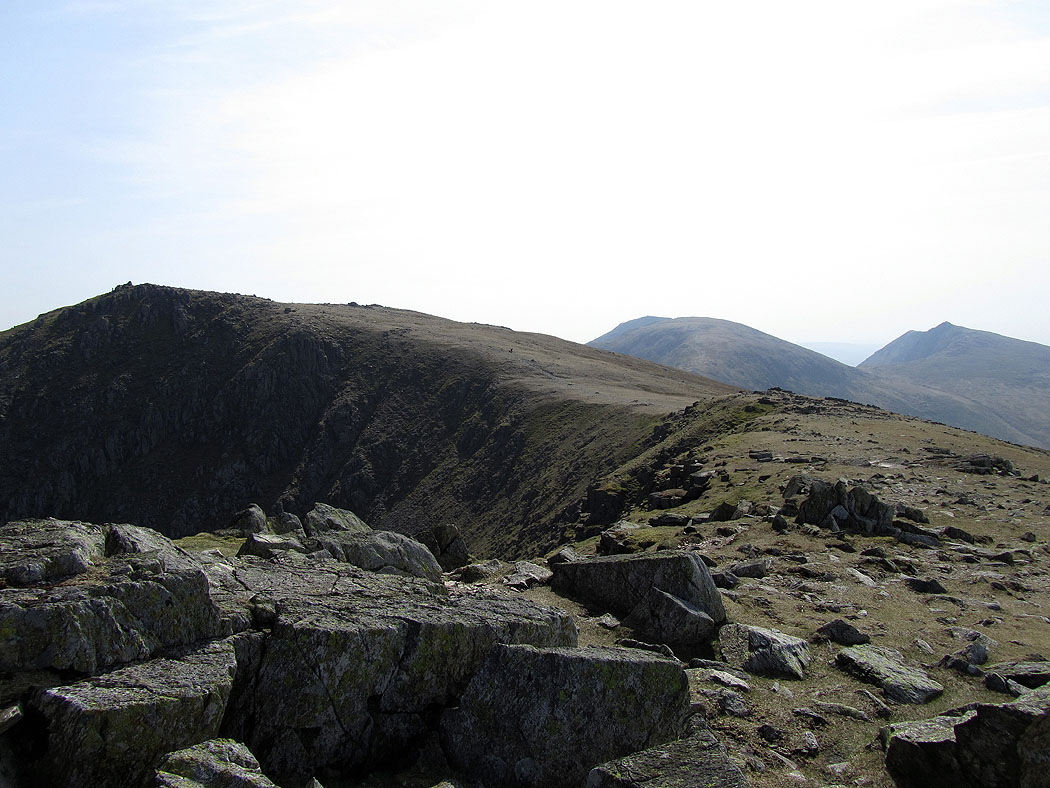
Left to right. Swirl How, the Old Man of Coniston and Dow Crag.
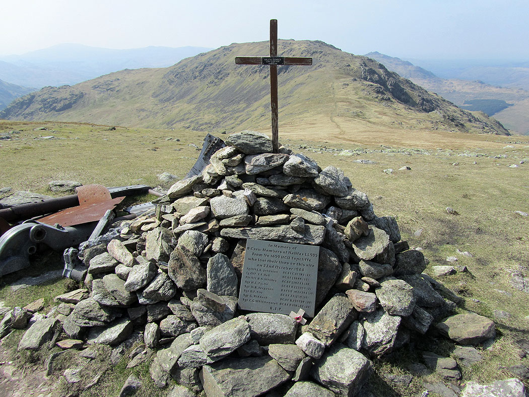
The memorial on Great Carrs
On Swirl How. The Scafell range and Bowfell beyond Great Carrs.
Greenburn
Coniston Water
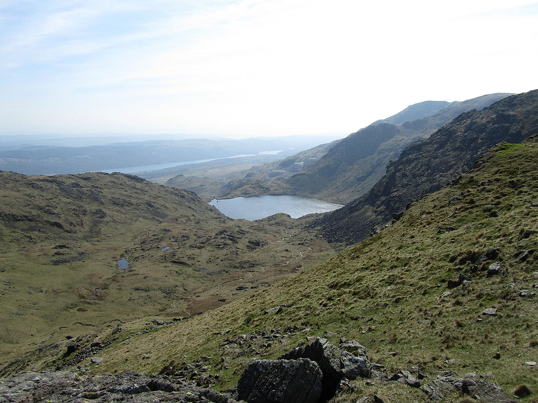
Levers Water
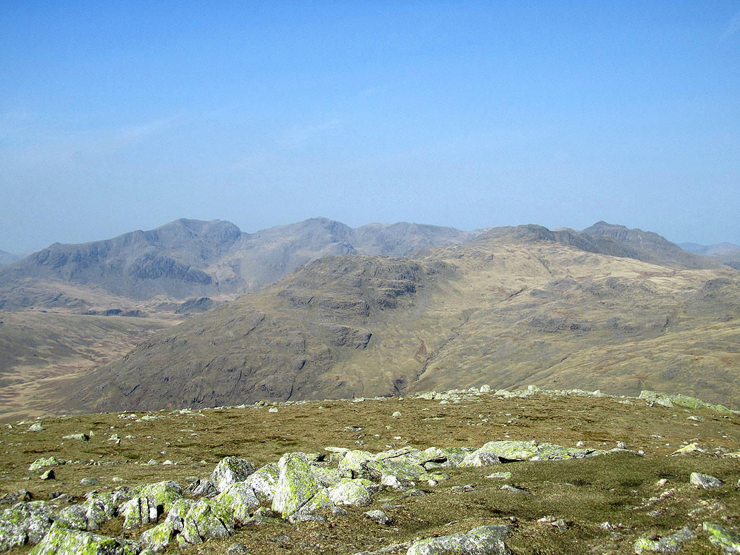
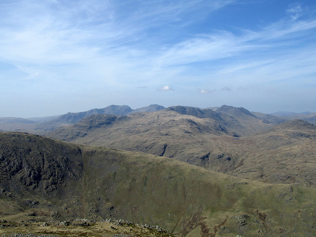
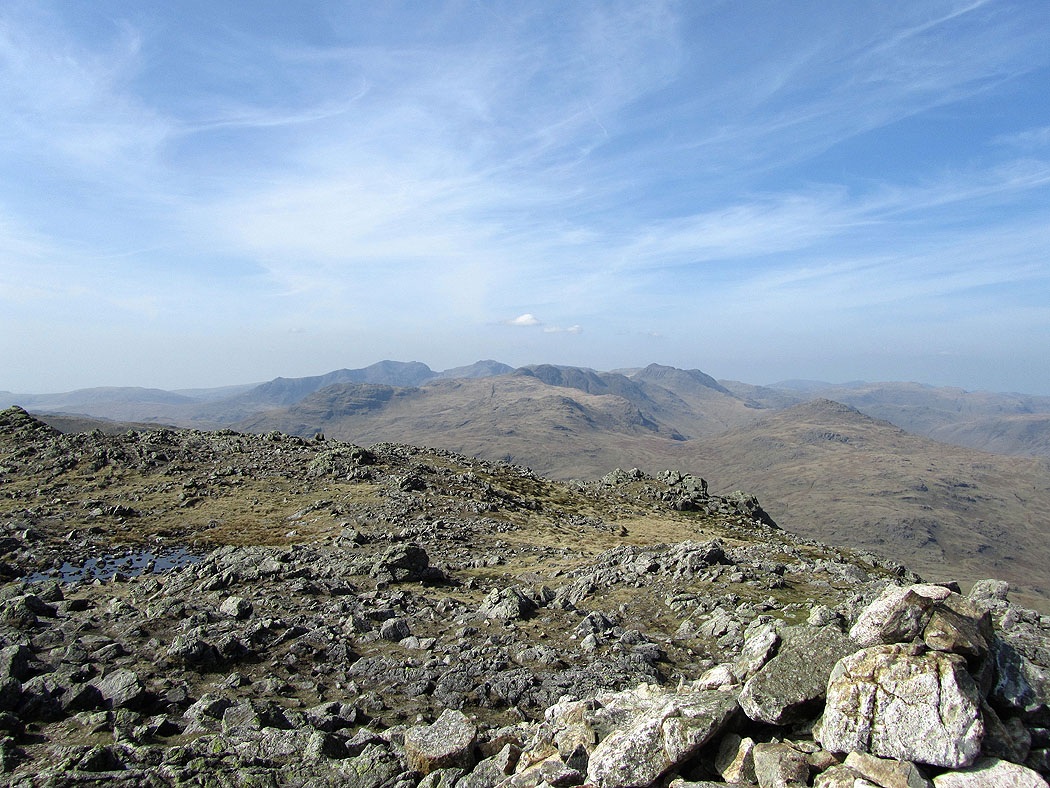
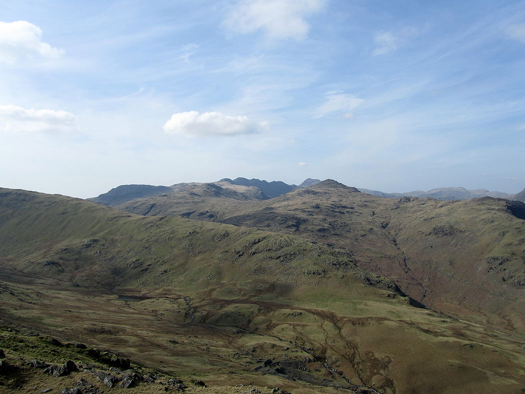
On the summit of Wetherlam I have this view over Wet Side Edge to the Scafell range, Crinkle Crags and Bowfell.
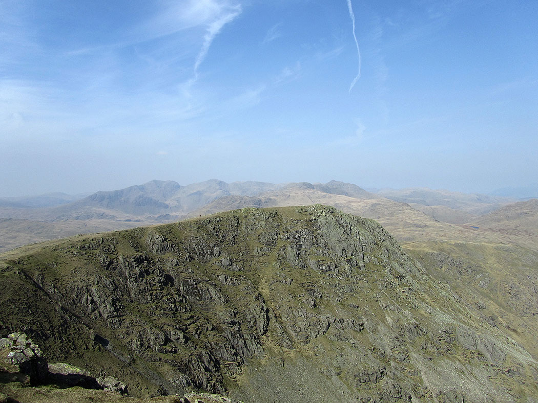
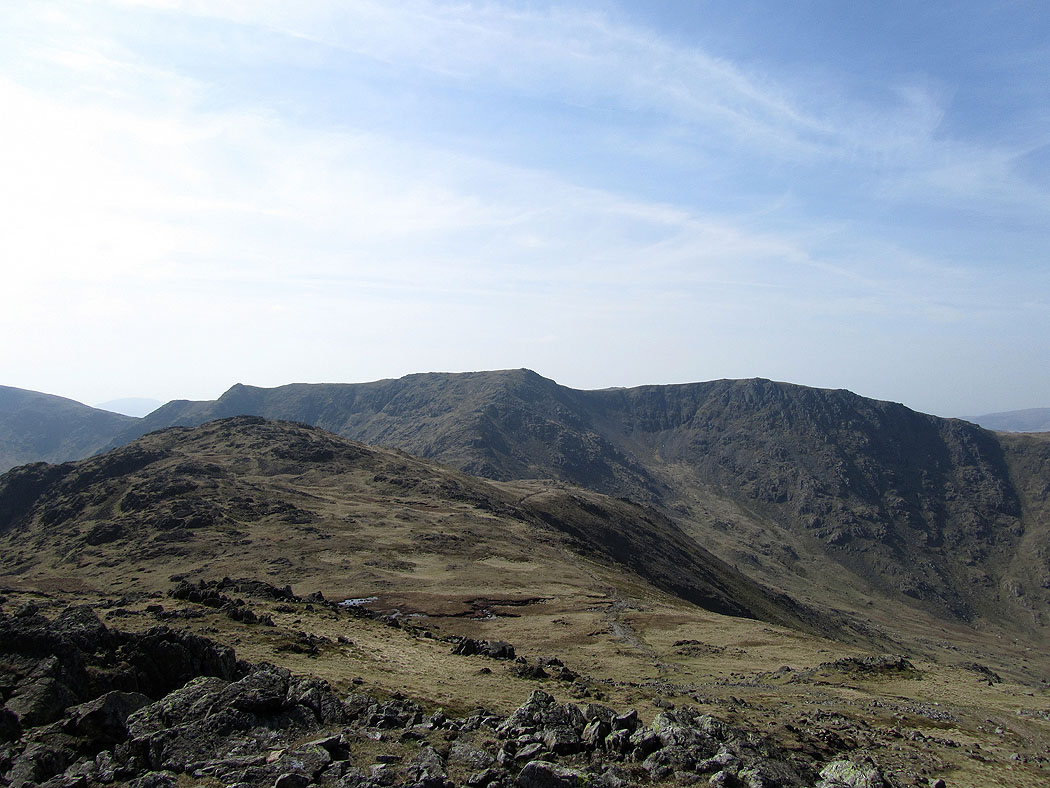
Swirl How and Great Carrs
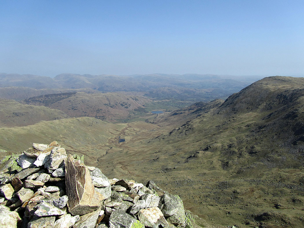
Little Langdale
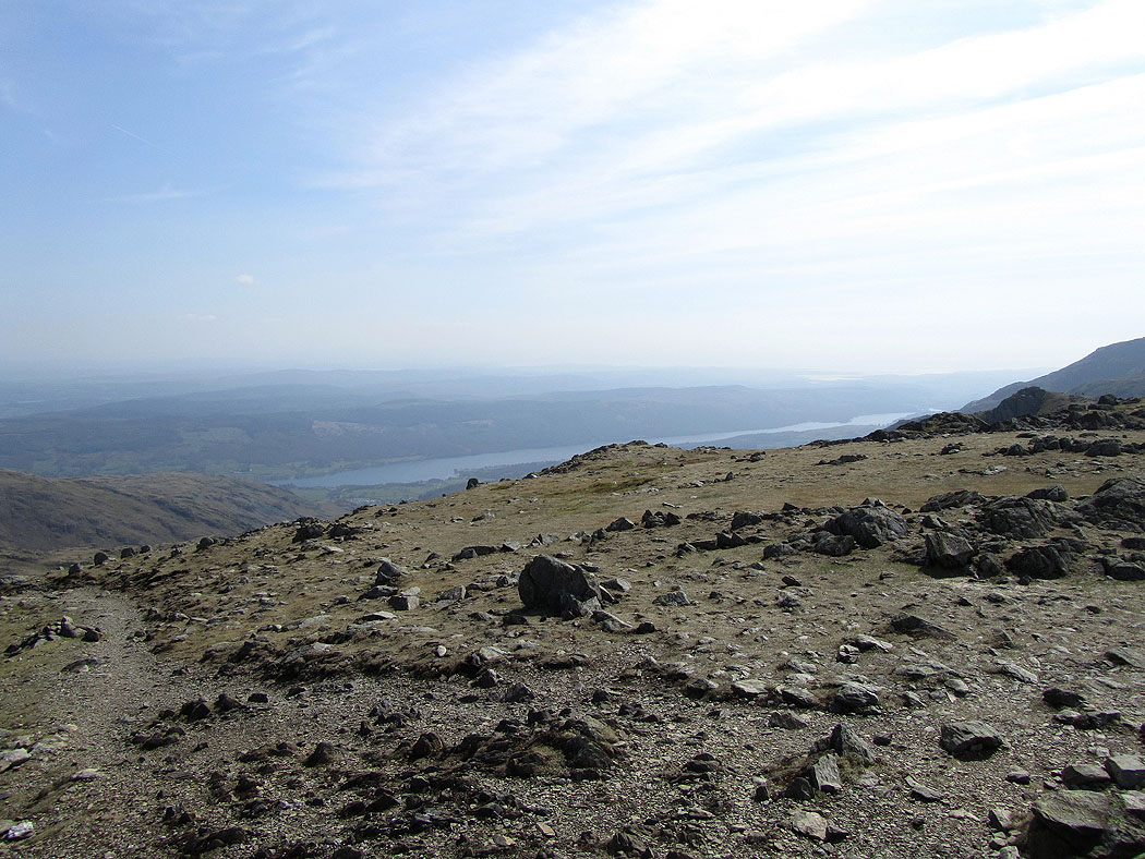
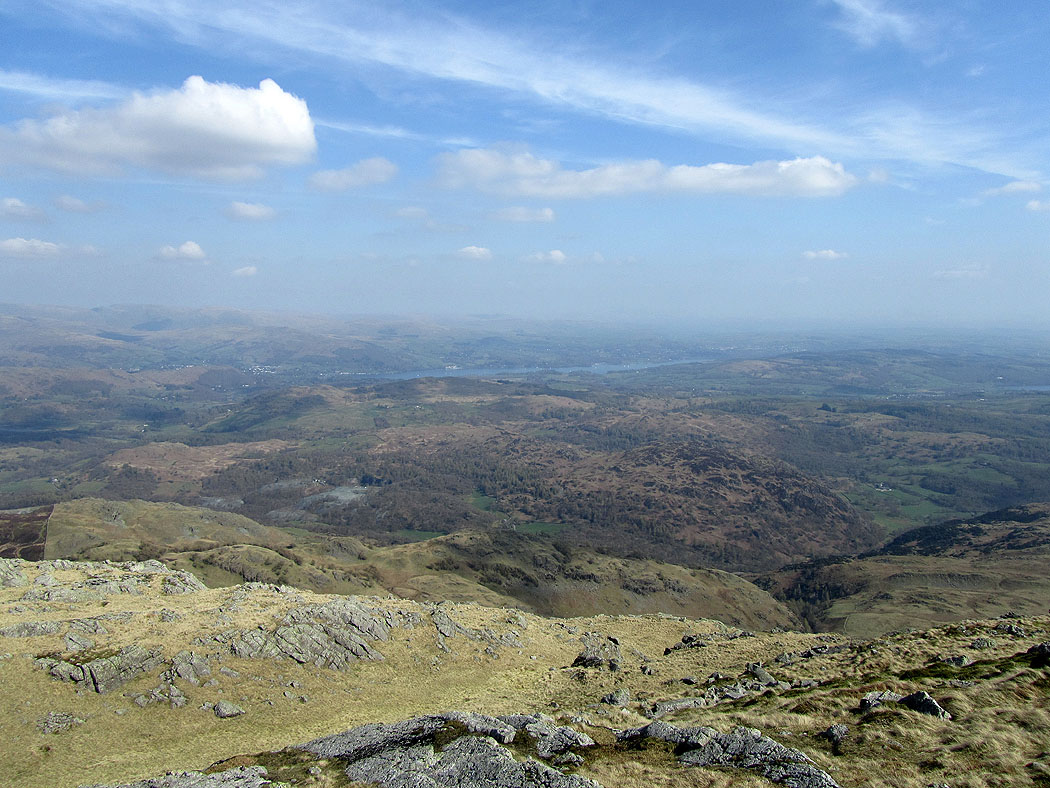
The view across to Windermere
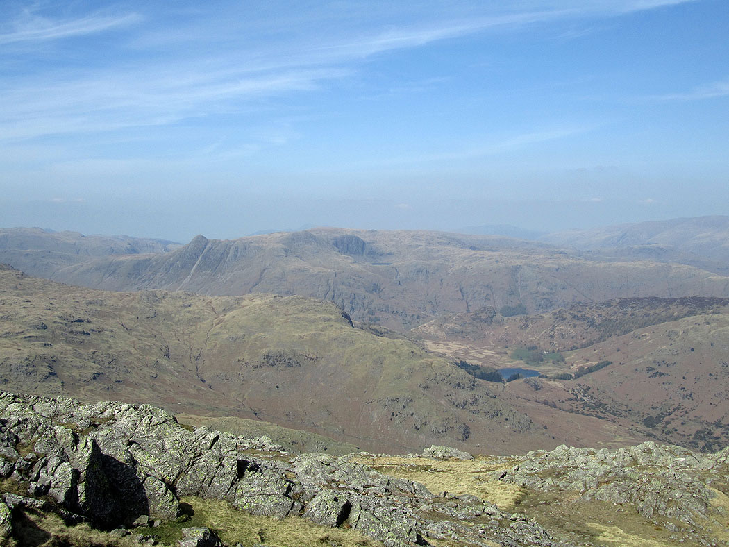
The Langdale Pikes
The Scafell range, Crinkle Crags and Bowfell from Wetherlam summit
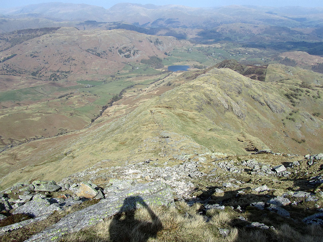
On Wetherlam Edge
The Langdale Pikes from Birk Fell Man. After descending Wetherlam Edge I went across to the summit of Birk Fell Man before descending back into Greenburn then Little Langdale.
Crinkle Crags, Bowfell and Pike o'Blisco
Little Langdale
Langdale Pikes on the descent into Greenburn
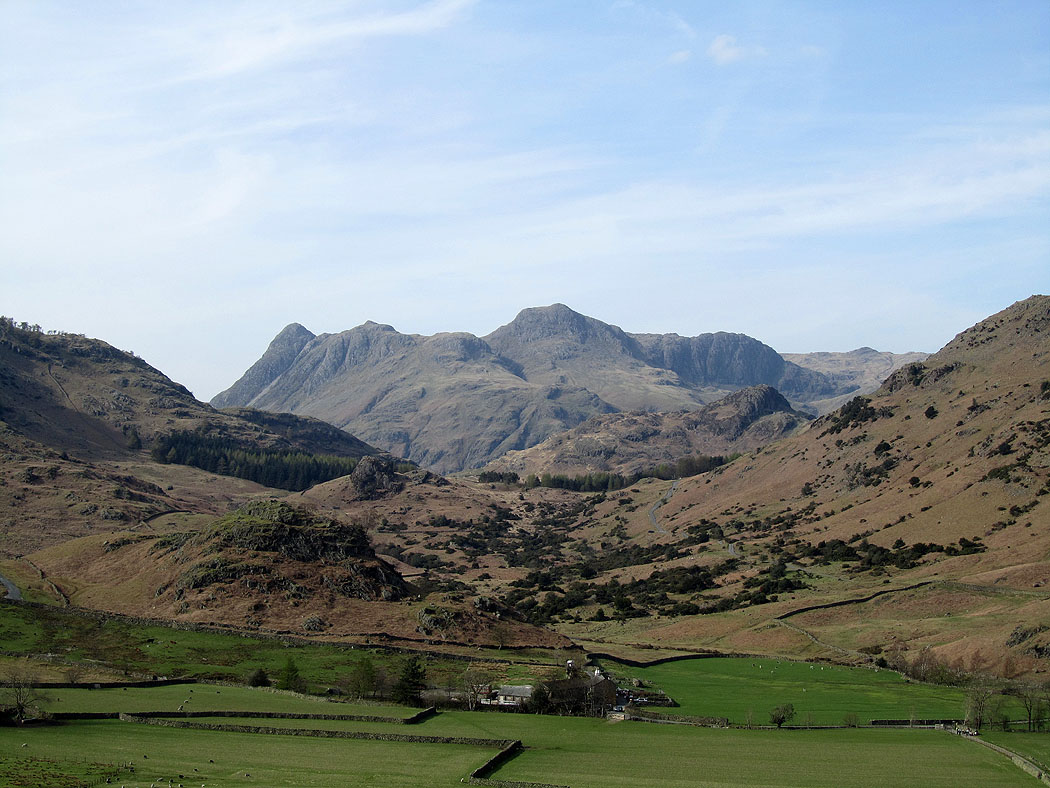
A view of the Langdale Pikes on the way back through Little Langdale
Slaters Bridge on the way back to Elterwater
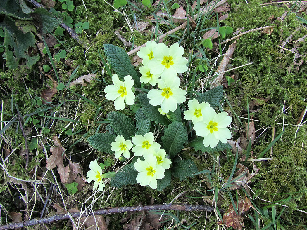
Primroses by the bridleway back to Elterwater
