9th April 2014 - Muncaster Fell
Walk Details
Distance walked: 6.9 miles
Total ascent: 1329 ft
OS map used: OL6 - The English Lakes, Southwestern area
Time taken: 4 hrs
Route description: Muncaster Castle-Fell Lane-Muncaster Tarn-Muncaster Fell-Muncaster Head-High Eskholme-Fell Lane-Muncaster Castle
After yesterdays fine weather today dawned grey and drizzly with the cloud sitting really low on the fells. A walk I'd thought of doing on just such a day was Muncaster Fell, so I made the short drive down the valley to Muncaster Castle. By the time I set off the drizzle had stopped and on the way down off Muncaster Fell the cloud started to break up with some sunshine.
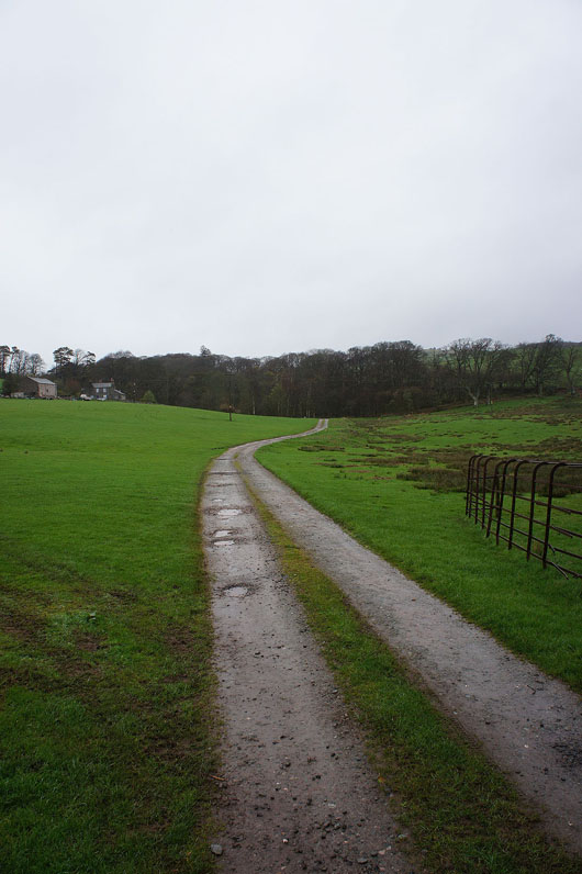
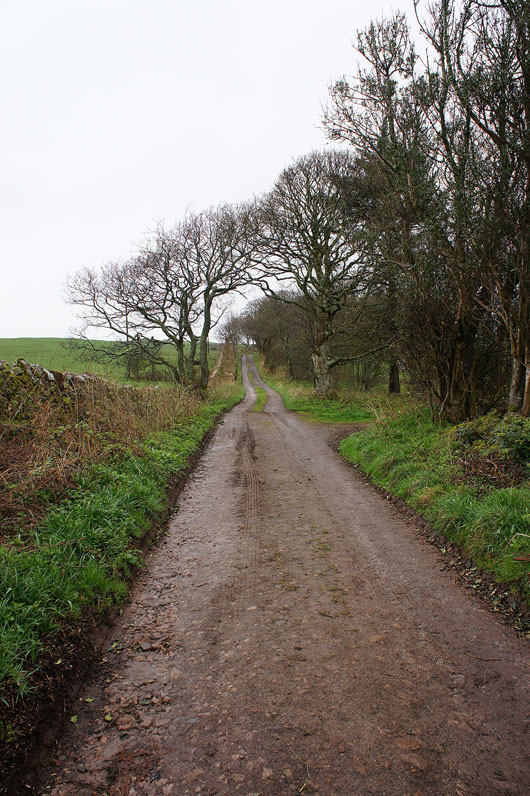
From the Muncaster Castle car park I took the bridleway of Fell Lane to Muncaster Tarn. After visiting the summit I continued across the top of the fell and down to Muncaster Head. To make my way back I used the bridleway through the plantations on the eastern side of the fell to Fell Lane and I then retraced my steps.
Total ascent: 1329 ft
OS map used: OL6 - The English Lakes, Southwestern area
Time taken: 4 hrs
Route description: Muncaster Castle-Fell Lane-Muncaster Tarn-Muncaster Fell-Muncaster Head-High Eskholme-Fell Lane-Muncaster Castle
After yesterdays fine weather today dawned grey and drizzly with the cloud sitting really low on the fells. A walk I'd thought of doing on just such a day was Muncaster Fell, so I made the short drive down the valley to Muncaster Castle. By the time I set off the drizzle had stopped and on the way down off Muncaster Fell the cloud started to break up with some sunshine.
From the Muncaster Castle car park I took the bridleway of Fell Lane to Muncaster Tarn. After visiting the summit I continued across the top of the fell and down to Muncaster Head. To make my way back I used the bridleway through the plantations on the eastern side of the fell to Fell Lane and I then retraced my steps.
Route map
© Crown copyright. All rights reserved. License number PU 100034184.
|
|
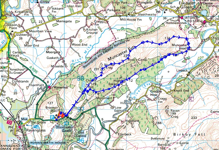
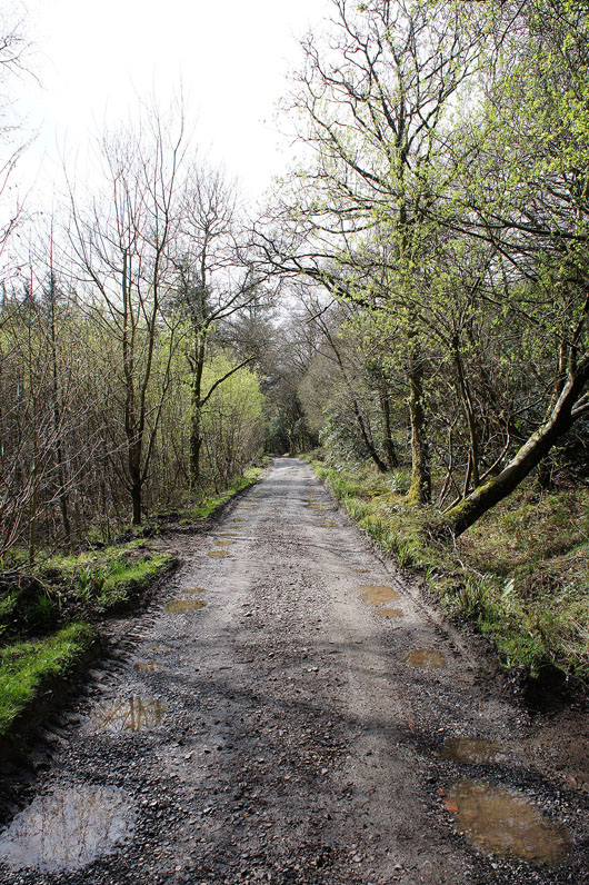
I've parked in the car park for Muncaster Castle and I'll follow the track on the left to reach the A595 then onto Fell Lane to head up Muncaster Fell
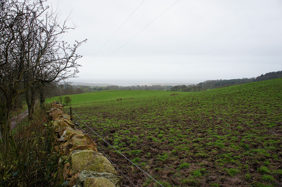
A murky view of the Esk estuary
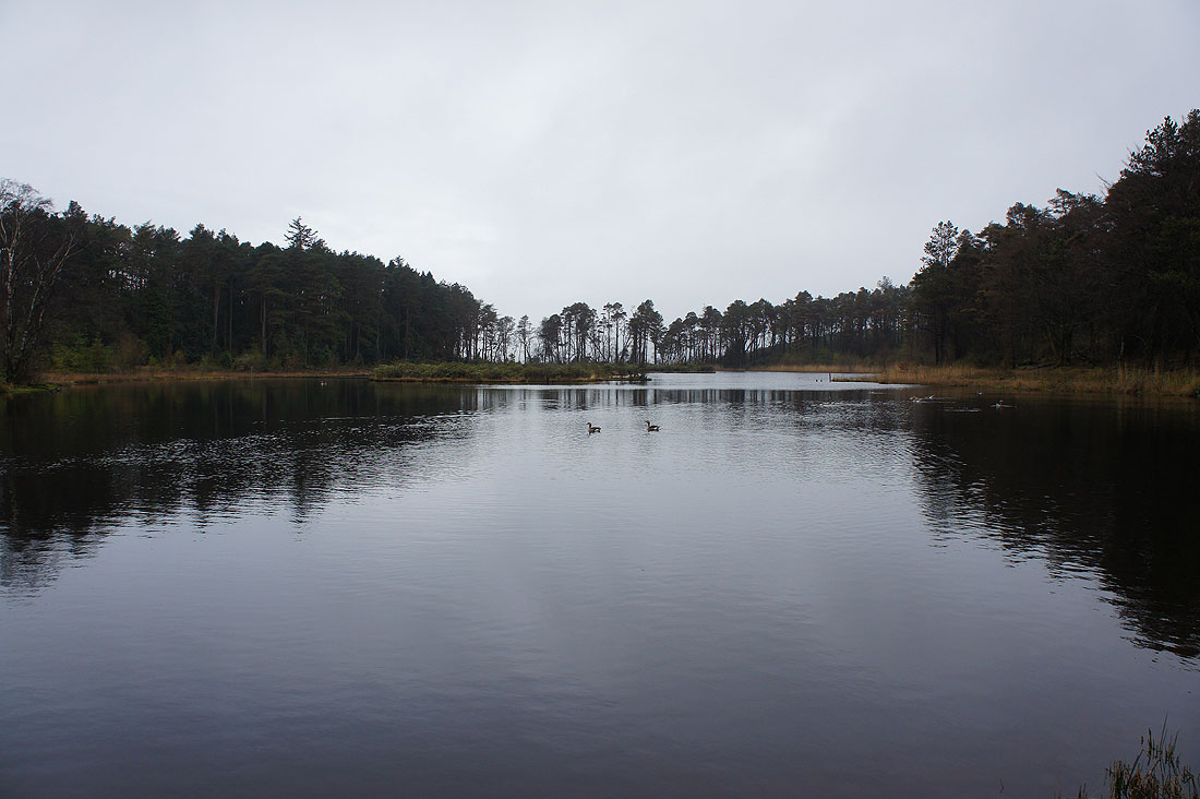
A tranquil Muncaster Tarn
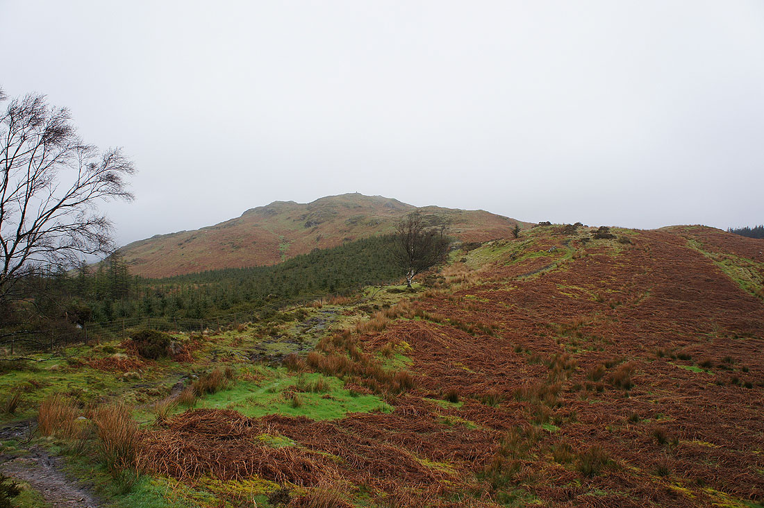
The summit is in sight
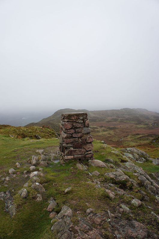
On the summit of Muncaster Fell. Unfortunately there's not much to see but at least I'm below the cloud base, just.
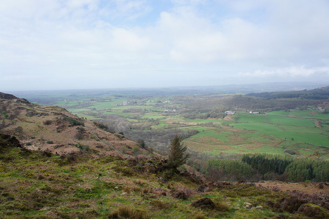
Looking towards the coast around Ravenglass. Muncaster Tarn is in the trees below.
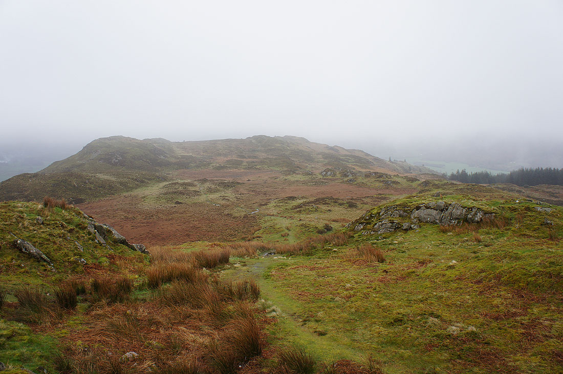
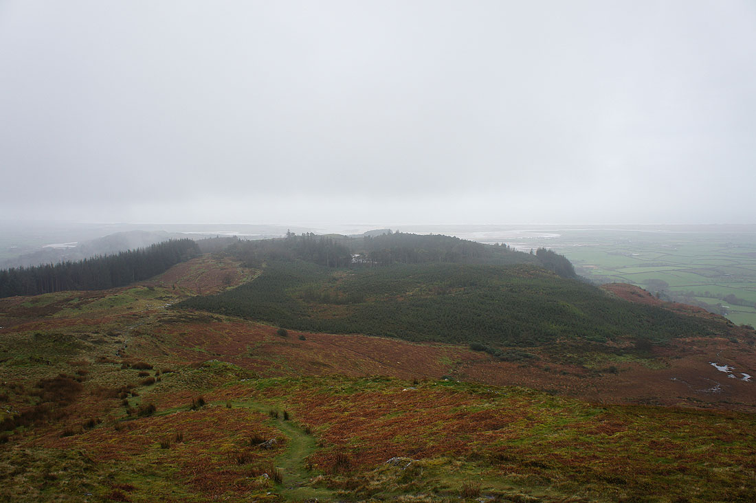
Onwards across the top of the fell. It was boggy underfoot all the way.
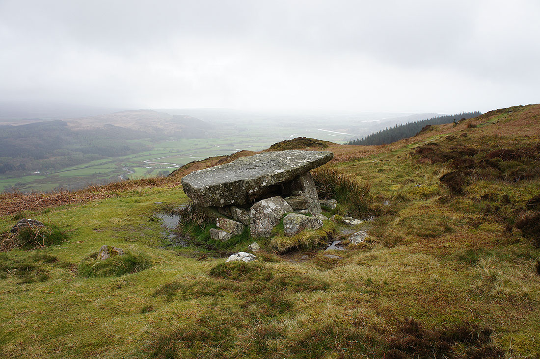
The stone table of Ross's Camp. Not exactly picnic weather today though.
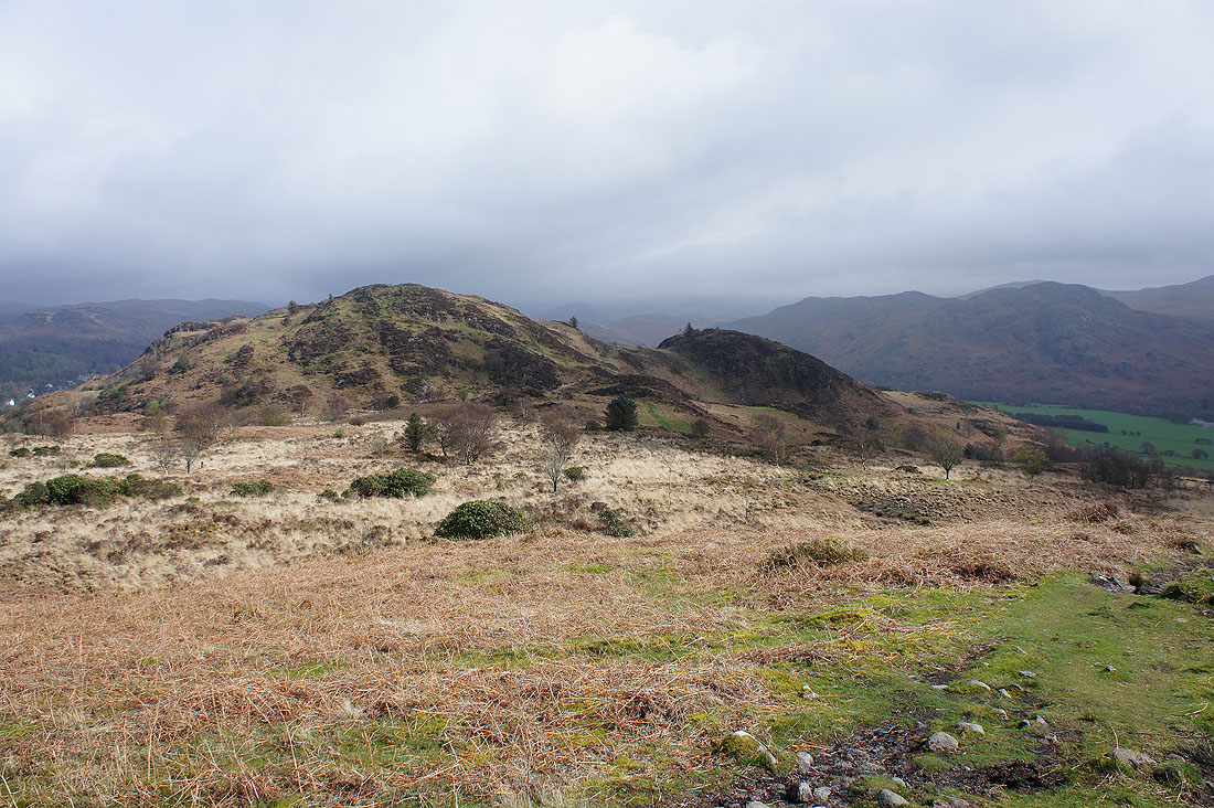
The cloud is breaking up and the sun is coming out. The path goes between the two hillocks ahead. I'm going to go to the top of the left hand one.
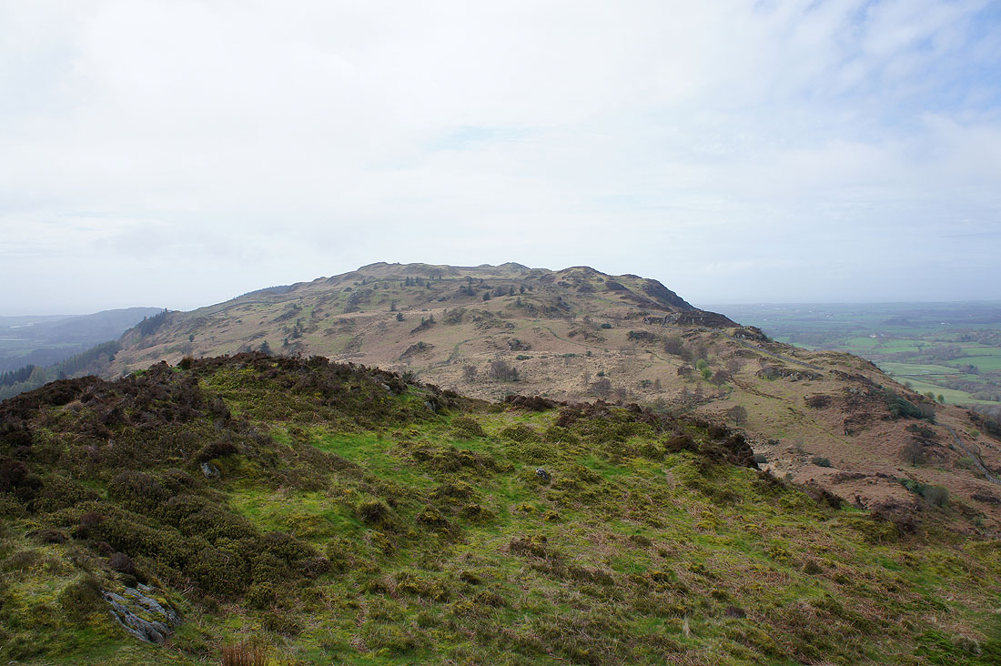
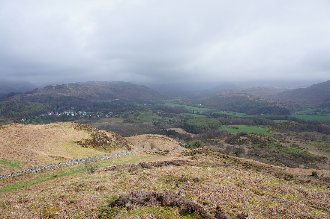
On that top looking back to the summit of Muncaster Fell
Miterdale below
As I head down Eskdale stretches ahead. The village on the left is Eskdale Green. It may have brightened up here but further inland the fells are still shrouded in cloud.
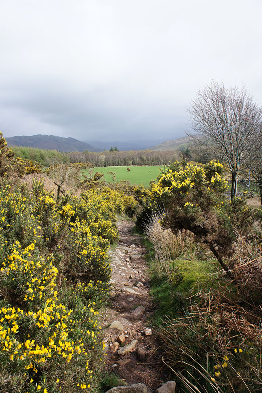
The gorse is out
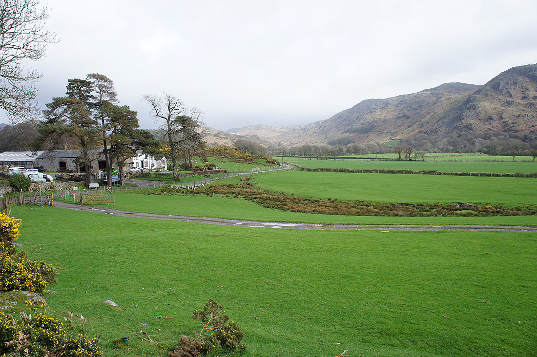
At Muncaster Head
|
|
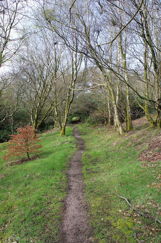
The bridleway below the eastern flank of the fell will take me back to Fell Lane
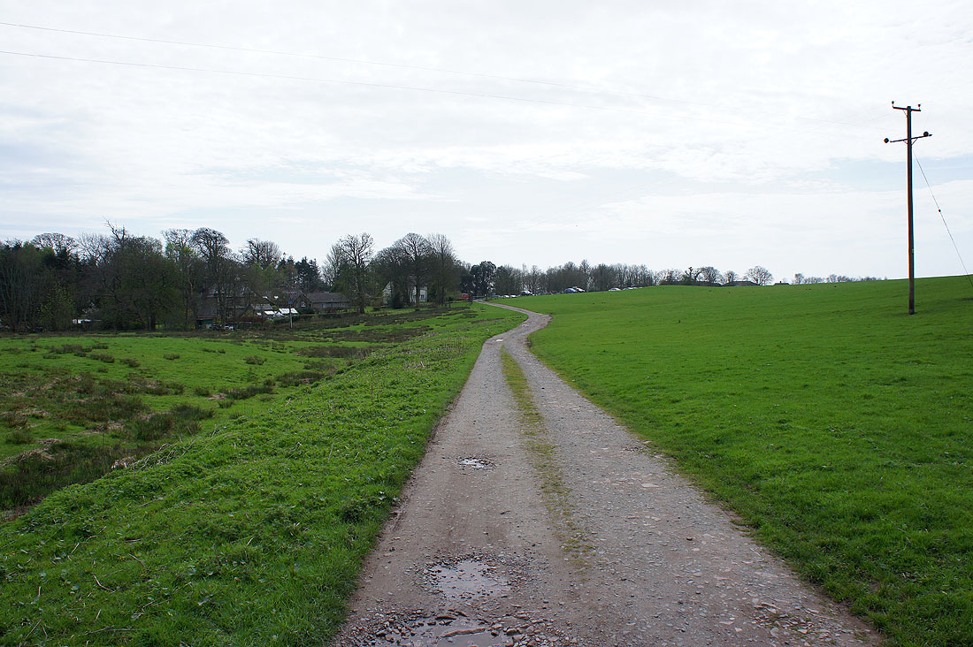
The car park at Muncaster Castle is in sight