9th April 2017 - Easington Fell
Walk Details
Distance walked: 7.1 miles
Total ascent: 1225 ft
OS map used: OL41- Forest of Bowland & Ribblesdale
Time taken: 4 hrs
Route description: Slaidburn-Newton Bridge-Meanley-Smelfthwaites-Standridge Hill-Easington Fell-Fell Side-Skelshaw-Broadhead Farm-Slaidburn
I couldn't resist heading out again this morning, especially since there was more warm spring weather forecast, at least for the morning and into the early afternoon. Slaidburn in the Forest of Bowland was my destination and a walk that I've done before a few times. The difference on this occasion was that I went the other way around, doing the riverside stretch from Slaidburn to Newton-in-Bowland in the morning sunshine just in case the weather had changed before I'd returned to the valley from Easington Fell. That proved to be the case with warm sunshine having being replaced by cooler cloudier weather and a strengthening breeze by the time I'd returned to Slaidburn.
From the car park in Slaidburn I crossed the village green and took the footpath that follows the north bank of the River Hodder downstream to Newton-in-Bowland. Here I crossed Newton Bridge and after a short walk by the south bank of the river I took the footpath on the right that heads uphill across fields to reach the road to Easington. I briefly walked east along the road then turned right to follow the public footpath that heads up the driveway past Meanley and the track on to Smelfthwaites, where after walking through the buildings the path across a field and up to access land and Easington Fell is reached. Lunch was taken on the brow of the hill before making my way across Standridge Hill to the Waddington to Newton road. I then followed the track east across the fell and down to Fell Side and Skelshaw, where a footpath on the right took me across Skelshaw Brook and then up to Broadhead Farm. After walking up the farm's driveway to the road above I took the footpath directly opposite that makes its way north across fields and down to Slaidburn.
Route map
© Crown copyright. All rights reserved. License number PU 100034184.

It's a beautiful spring morning in Slaidburn
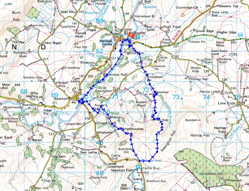
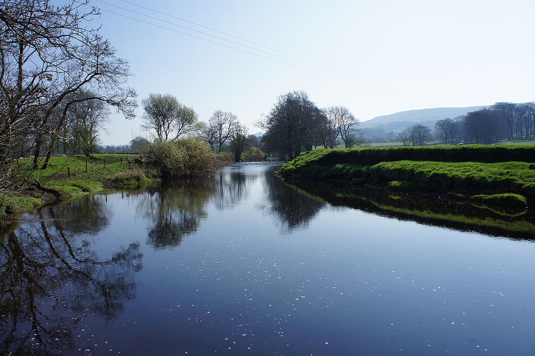
After taking advantage of the cafe I set off along the path by the River Hodder to Newton-in-Bowland
Looking back to Slaidburn
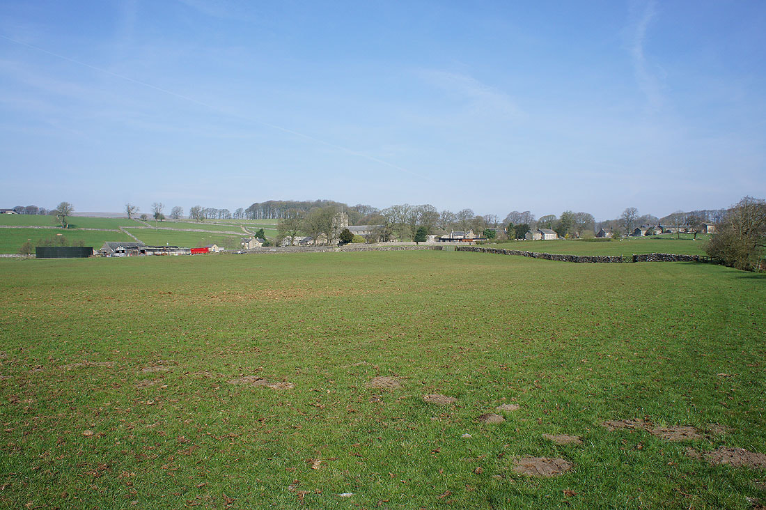
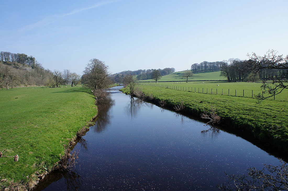
Photos from by the river on the way to Newton-in-Bowland including a couple taken from the footbridge over it......
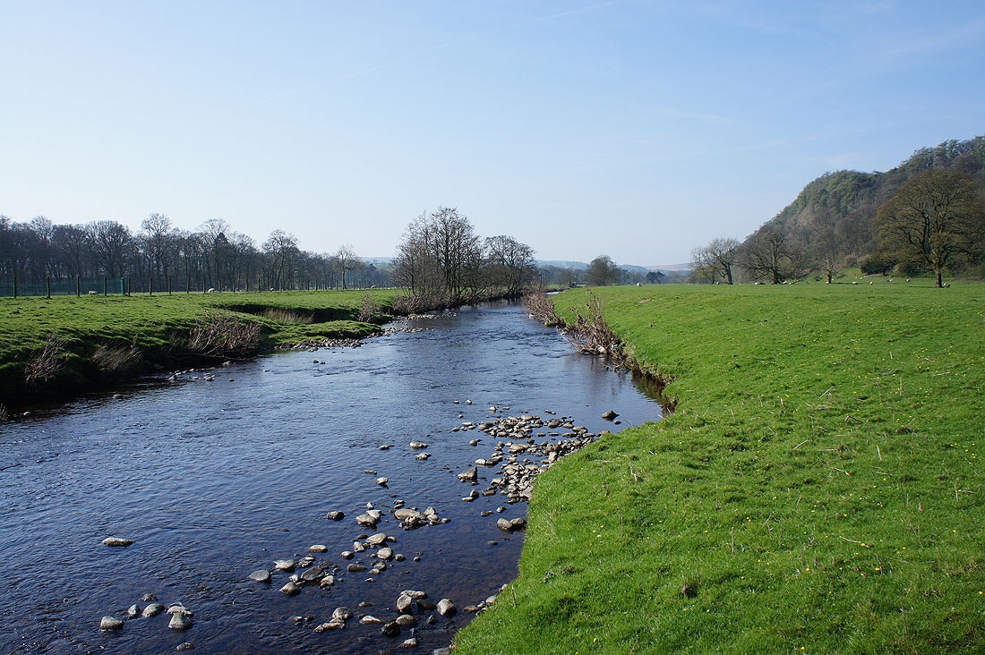
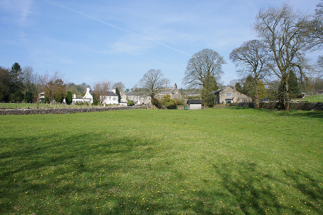
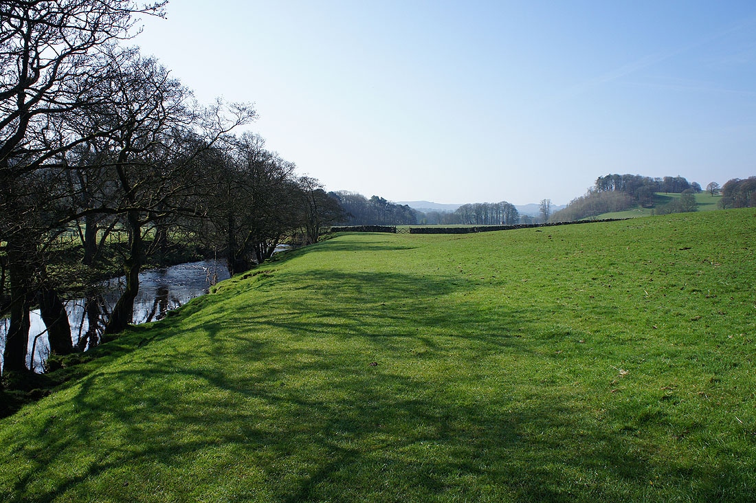
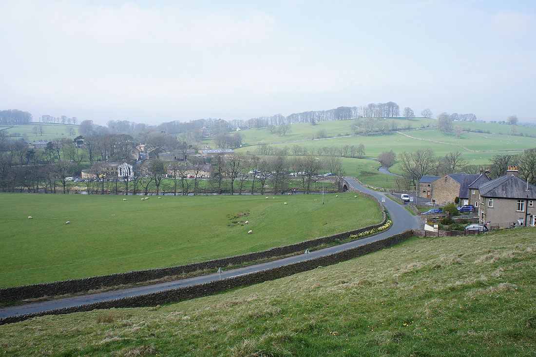
Arriving in Newton-in-Bowland
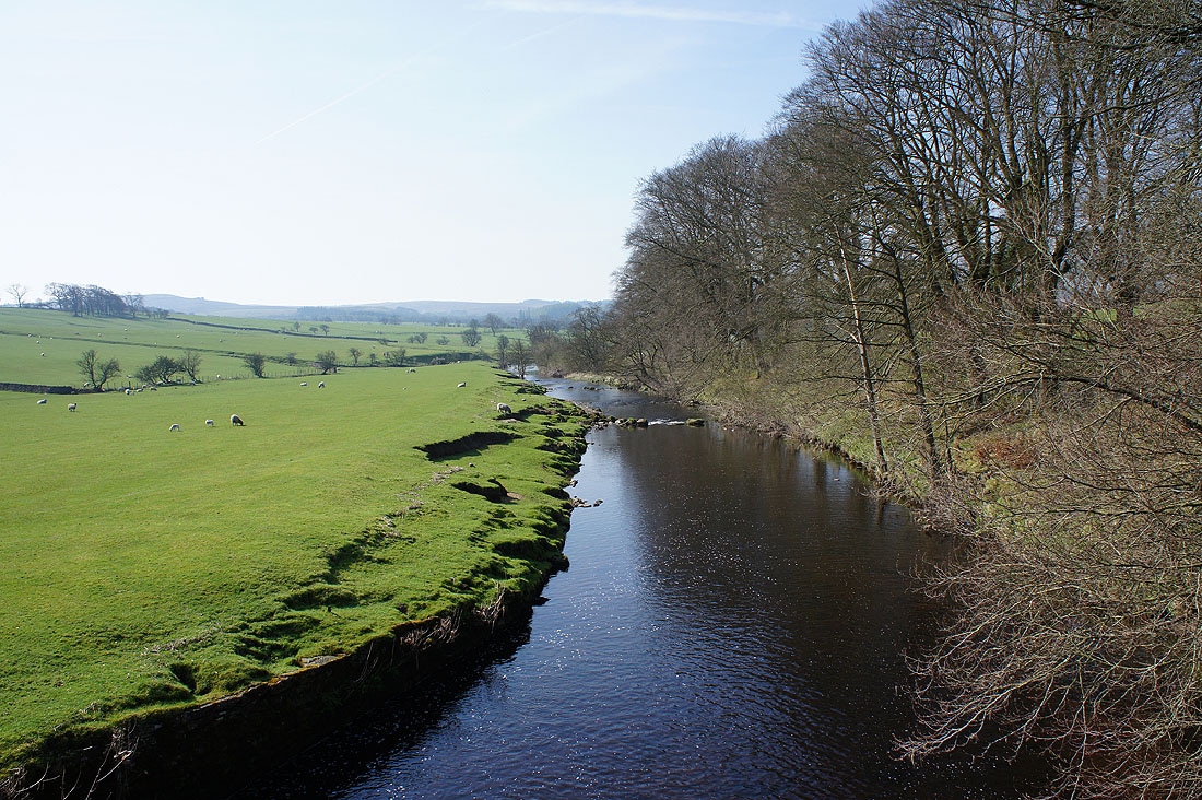
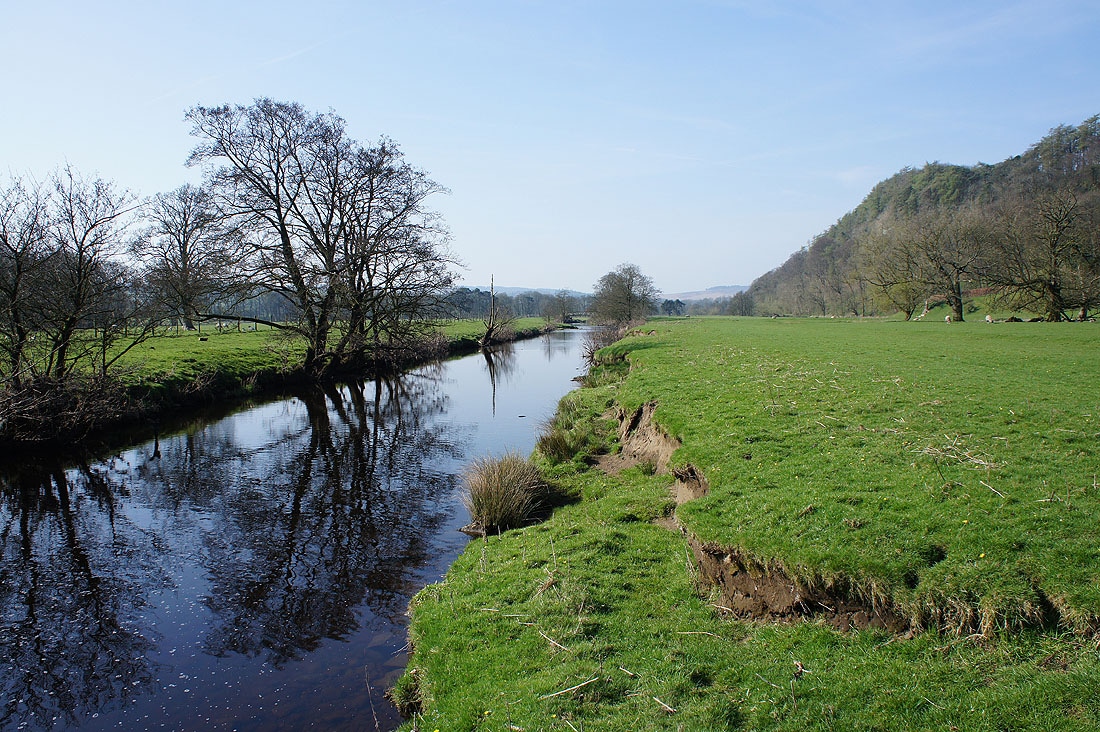
Looking downstream as I cross Newton Bridge
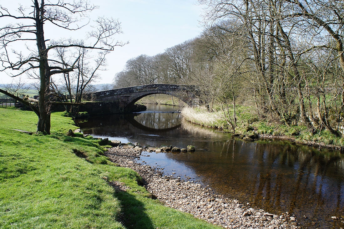
Newton Bridge
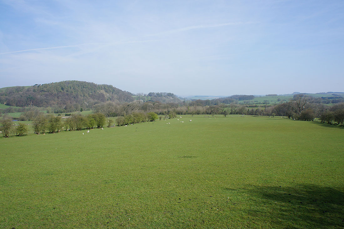
The hill of Great Dunnow and the Hodder valley as I head uphill towards Easington Fell
Looking up the valley towards Slaidburn as I enter access land
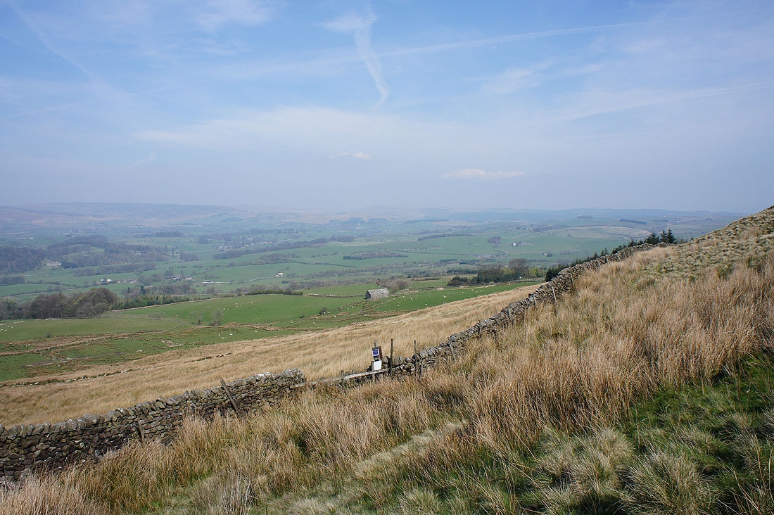
There's a fantastic view of Hodder country as I reach the brow of the hill. Looking towards the fell of Totridge and the countryside around Dunsop Bridge.
Whins Brow and Burn Fell beyond the village of Newton-in-Bowland
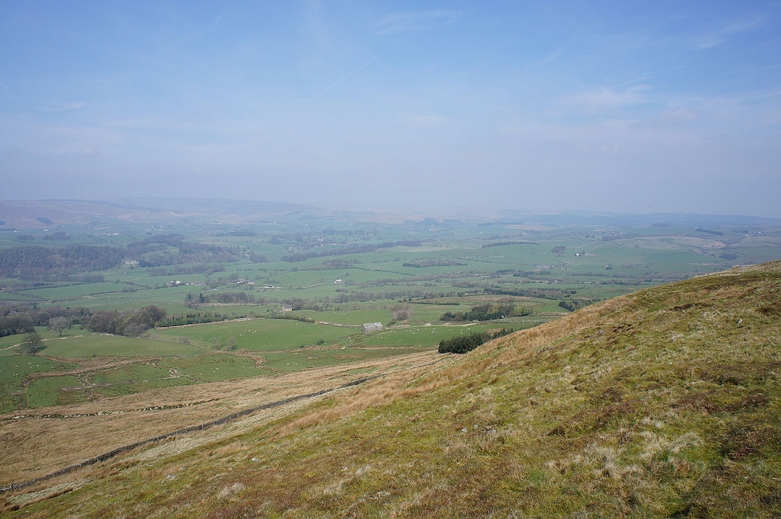
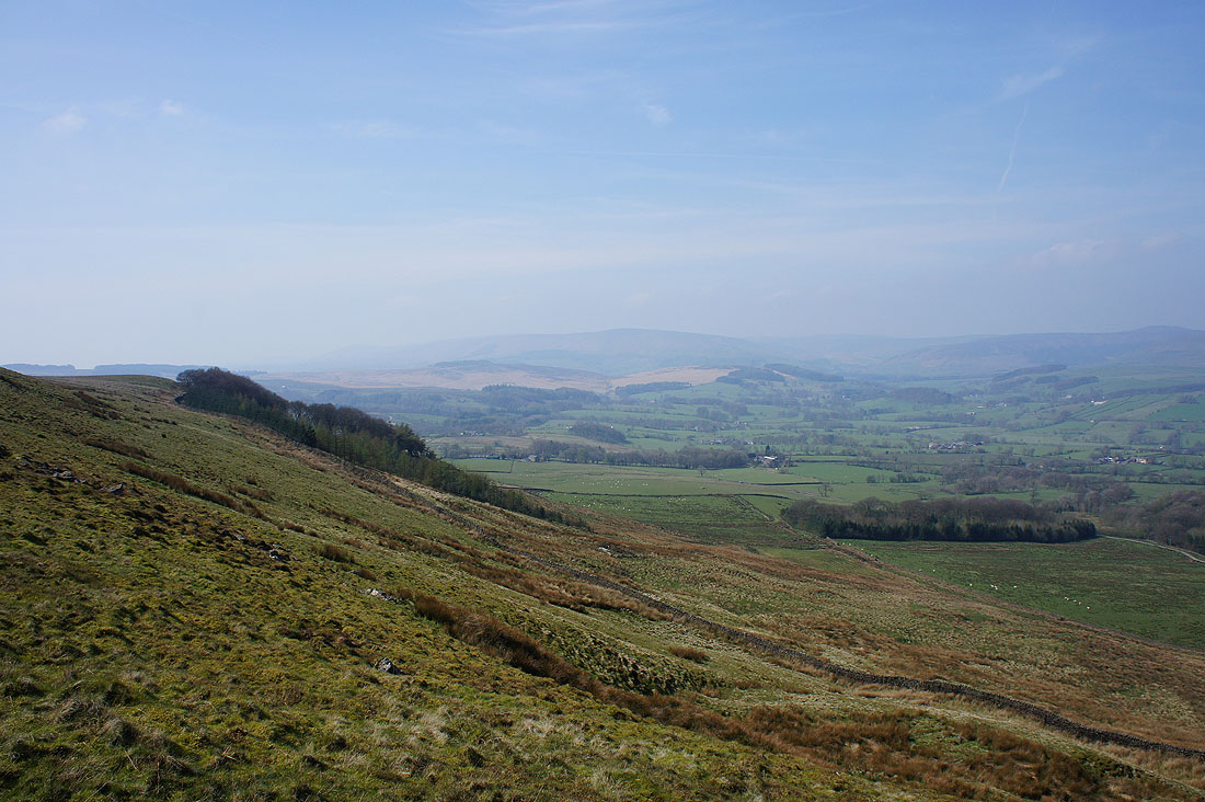
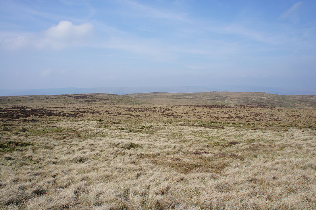
A hazy view up the valley towards Slaidburn
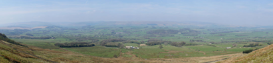
A panorama of the view
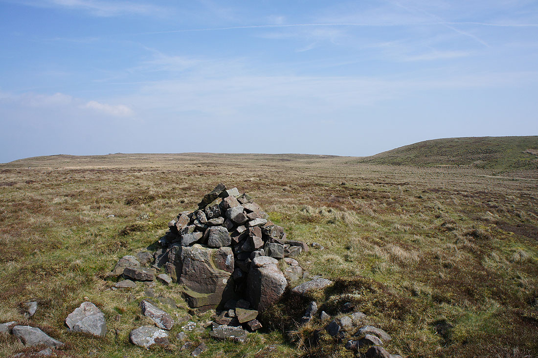
The cairn on Standridge Hill that was my lunch stop
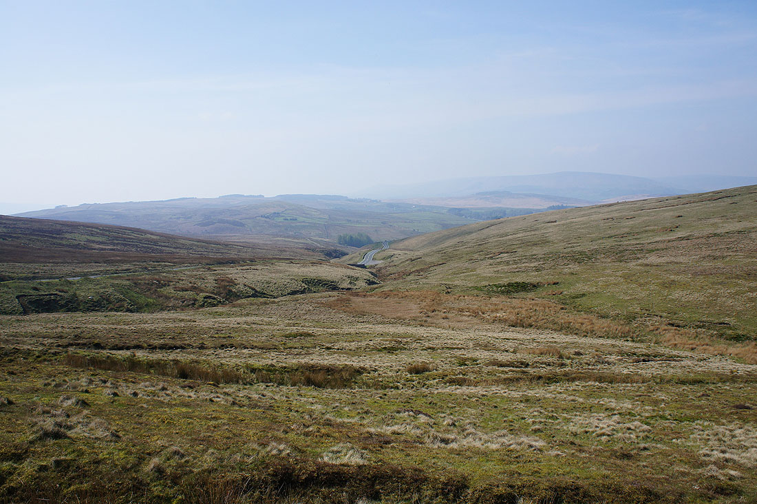
The road from Waddington down to Newton-in-Bowland
Looking back to the distant fell of Totridge as take the track onto Easington Fell
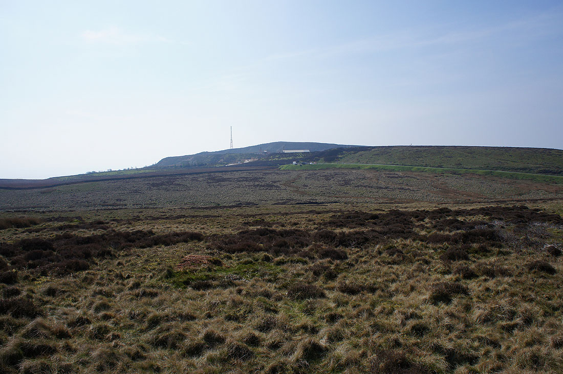
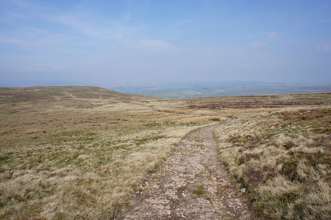
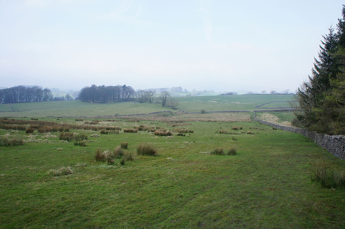
The quarry on the top of Easington Fell
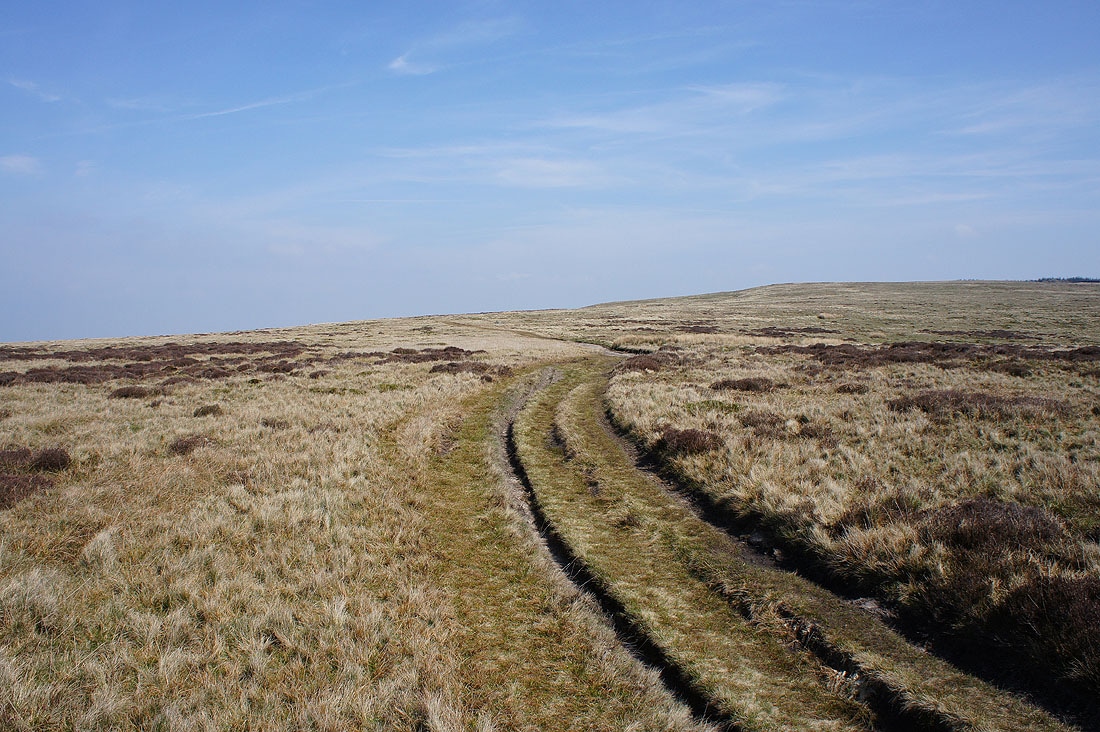
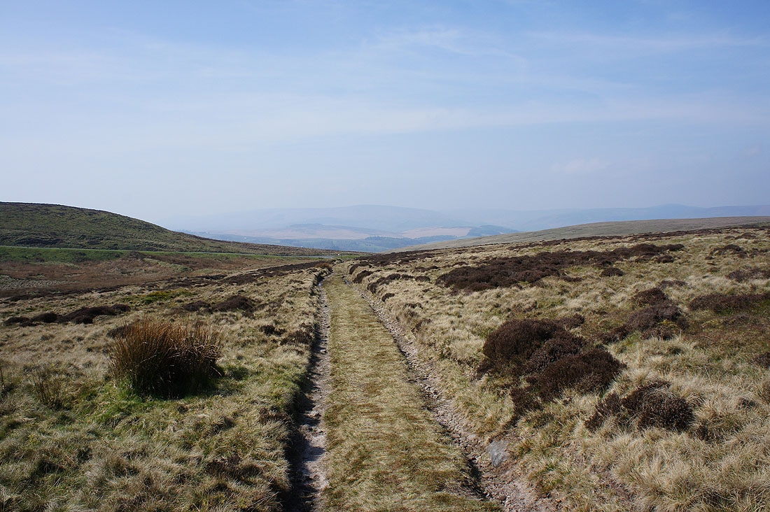
Making my way across the top of Easington Fell...
Approaching Skelshaw. The footpath goes to the right, down to..
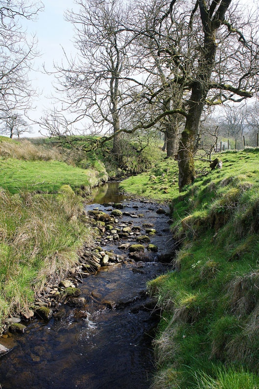
..and across Skelshaw Brook
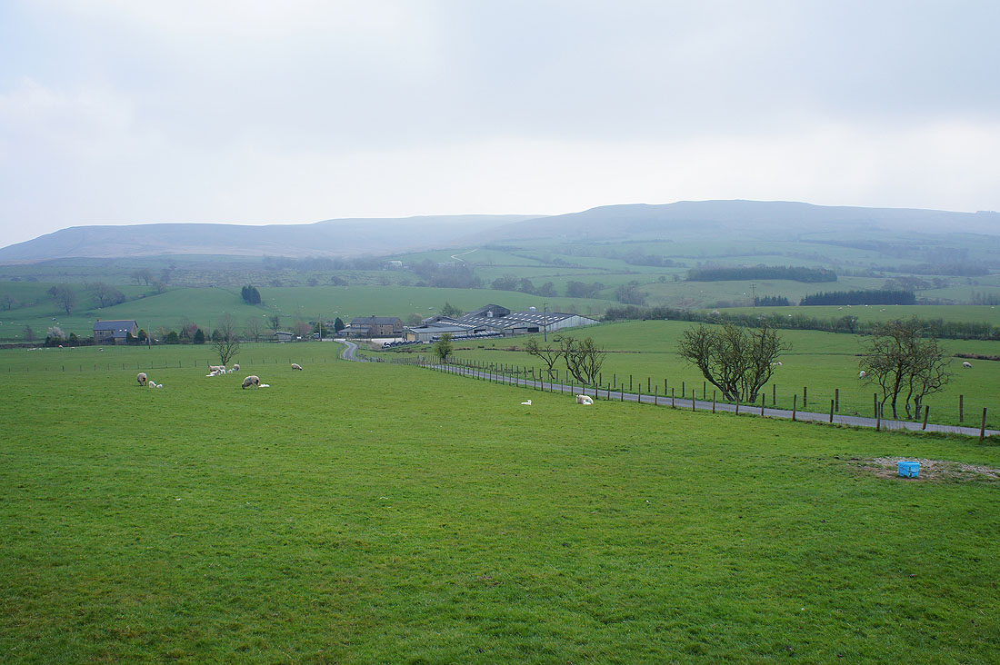
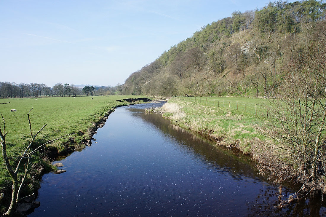
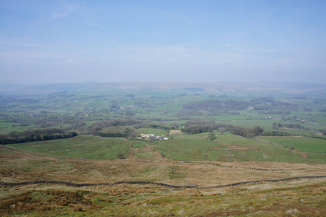
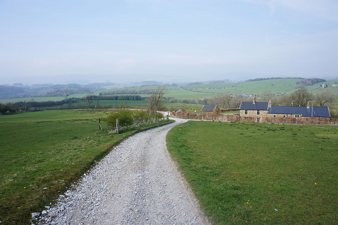
Easington Fell behind Broadhead Farm. It's clouded over quickly from the sunny skies of less than an hour ago.
Crossing fields to Slaidburn
Back in Slaidburn