9th April 2022 - Great Shunner Fell and Lovely Seat
Walk Details
Distance walked: 13.3 miles
Total ascent: 2432 ft
OS map used: OL19 - Howgill Fells & Upper Eden Valley
Time taken: 7 hrs
Route description: Hardraw-Pennine Way-Great Shunner Fell-Little Shunner Fell-Grimy Gutter Hags-Buttertubs Pass-Lovely Seat-Buttertubs Pass-Cliff Gate Road-Pike Hill-High Clint-Shutt Gate-Shutt Lane-Sedbusk-Simonstone-Hardraw
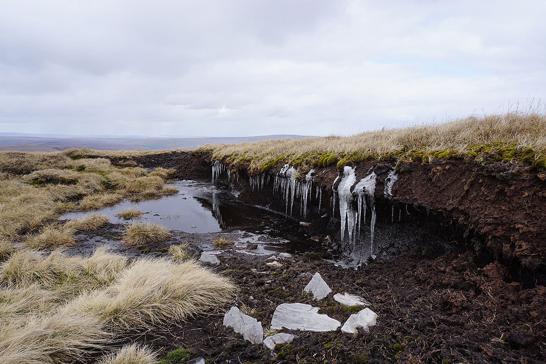
I decided to head to Wensleydale today and do a route that I worked out that would take in Great Shunner Fell and Lovely Seat, a couple of fells that I've not visited very often, in the case of Lovely Seat just the once in 2010, and the limestone scars of High Clint, which I was hoping to take in a great view of Wensleydale from. Most of the route was already familiar to me with the Pennine Way from Hardraw to the top of Great Shunner Fell used in my previous two ascents, and the route from Great Shunner Fell across to Lovely Seat used when I did both fells from Thwaite in Swaledale in 2010. I briefly thought about heading south across the moorland of Stags Fell to get from Lovely Seat down to High Clint, but decided to take the sensible option of returning to Cliff Gate Road and walking down it to take the bridleway onto the moorland behind High Clint. A pathless traipse across Stags Fell after all the miles I'd already walked wasn't something to look forward to. The cold spring weather from last weekend was still around on the tops of the fells, there was ice, the ground was frozen in places, and the strong northwesterly wind that was blowing was bitterly cold. After setting off from Hardraw under largely sunny skies cloud built up through the morning, then during the afternoon it tended to cloud over with a few light wintry showers and flakes of snow in the wind.
After parking my car in Hardraw I set off by taking the Pennine Way and following it north all the way to the top of Great Shunner Fell, where I stopped for lunch. Once I'd finished my break and taken in the view I left the summit by following the fence east, southeast and then east to Little Shunner Fell, then southeast to Grimy Gutter Hags and down to the road at the Buttertubs Pass. I then crossed the road and followed the fence up Lovely Seat to its summit, where I stopped for a break. After this and once I'd taken in the view I retraced my steps down to the road at the Buttertubs Pass, and walked down it towards Wensleydale until I reached a sign for a bridleway on the left. I took this and followed it southeast onto Pike Hill, joining a track that took me onto the moorland north of High Clint. At a convenient spot I left the track behind and made my way to the top of High Clint, then east along the top of the escarpment, then down to the edge of access land at Shutt Gate to pick up the bridleway again. From Shutt Gate I followed the bridleway down to the top of the track of Shutt Lane, which took me down to Sedbusk. I left Sedbusk by taking a footpath on the right at Sedbusk Farm and following it west across fields to the road through Simonstone, where I turned left and briefly walked south along the road to a public footpath on the right which took me up the driveway of Simonstone Hall. I left this for a footpath on the left which took me down a hillside and back to Hardraw.
Total ascent: 2432 ft
OS map used: OL19 - Howgill Fells & Upper Eden Valley
Time taken: 7 hrs
Route description: Hardraw-Pennine Way-Great Shunner Fell-Little Shunner Fell-Grimy Gutter Hags-Buttertubs Pass-Lovely Seat-Buttertubs Pass-Cliff Gate Road-Pike Hill-High Clint-Shutt Gate-Shutt Lane-Sedbusk-Simonstone-Hardraw
I decided to head to Wensleydale today and do a route that I worked out that would take in Great Shunner Fell and Lovely Seat, a couple of fells that I've not visited very often, in the case of Lovely Seat just the once in 2010, and the limestone scars of High Clint, which I was hoping to take in a great view of Wensleydale from. Most of the route was already familiar to me with the Pennine Way from Hardraw to the top of Great Shunner Fell used in my previous two ascents, and the route from Great Shunner Fell across to Lovely Seat used when I did both fells from Thwaite in Swaledale in 2010. I briefly thought about heading south across the moorland of Stags Fell to get from Lovely Seat down to High Clint, but decided to take the sensible option of returning to Cliff Gate Road and walking down it to take the bridleway onto the moorland behind High Clint. A pathless traipse across Stags Fell after all the miles I'd already walked wasn't something to look forward to. The cold spring weather from last weekend was still around on the tops of the fells, there was ice, the ground was frozen in places, and the strong northwesterly wind that was blowing was bitterly cold. After setting off from Hardraw under largely sunny skies cloud built up through the morning, then during the afternoon it tended to cloud over with a few light wintry showers and flakes of snow in the wind.
After parking my car in Hardraw I set off by taking the Pennine Way and following it north all the way to the top of Great Shunner Fell, where I stopped for lunch. Once I'd finished my break and taken in the view I left the summit by following the fence east, southeast and then east to Little Shunner Fell, then southeast to Grimy Gutter Hags and down to the road at the Buttertubs Pass. I then crossed the road and followed the fence up Lovely Seat to its summit, where I stopped for a break. After this and once I'd taken in the view I retraced my steps down to the road at the Buttertubs Pass, and walked down it towards Wensleydale until I reached a sign for a bridleway on the left. I took this and followed it southeast onto Pike Hill, joining a track that took me onto the moorland north of High Clint. At a convenient spot I left the track behind and made my way to the top of High Clint, then east along the top of the escarpment, then down to the edge of access land at Shutt Gate to pick up the bridleway again. From Shutt Gate I followed the bridleway down to the top of the track of Shutt Lane, which took me down to Sedbusk. I left Sedbusk by taking a footpath on the right at Sedbusk Farm and following it west across fields to the road through Simonstone, where I turned left and briefly walked south along the road to a public footpath on the right which took me up the driveway of Simonstone Hall. I left this for a footpath on the left which took me down a hillside and back to Hardraw.
Route map
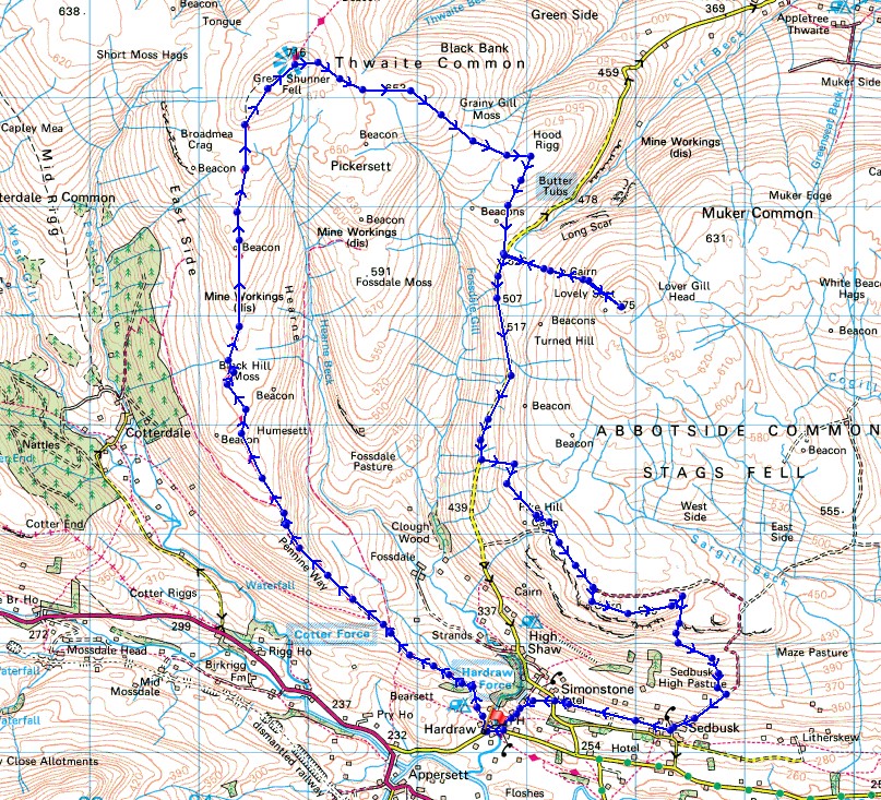
© Crown copyright. All rights reserved. License number PU 100034184.
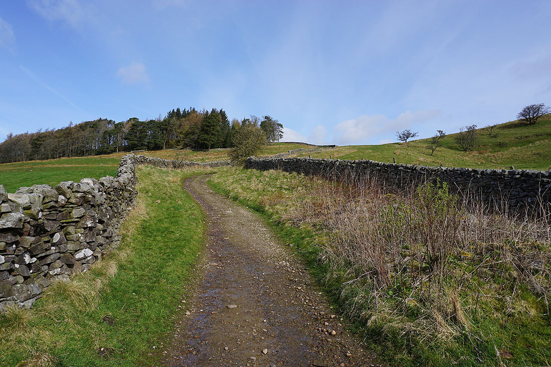
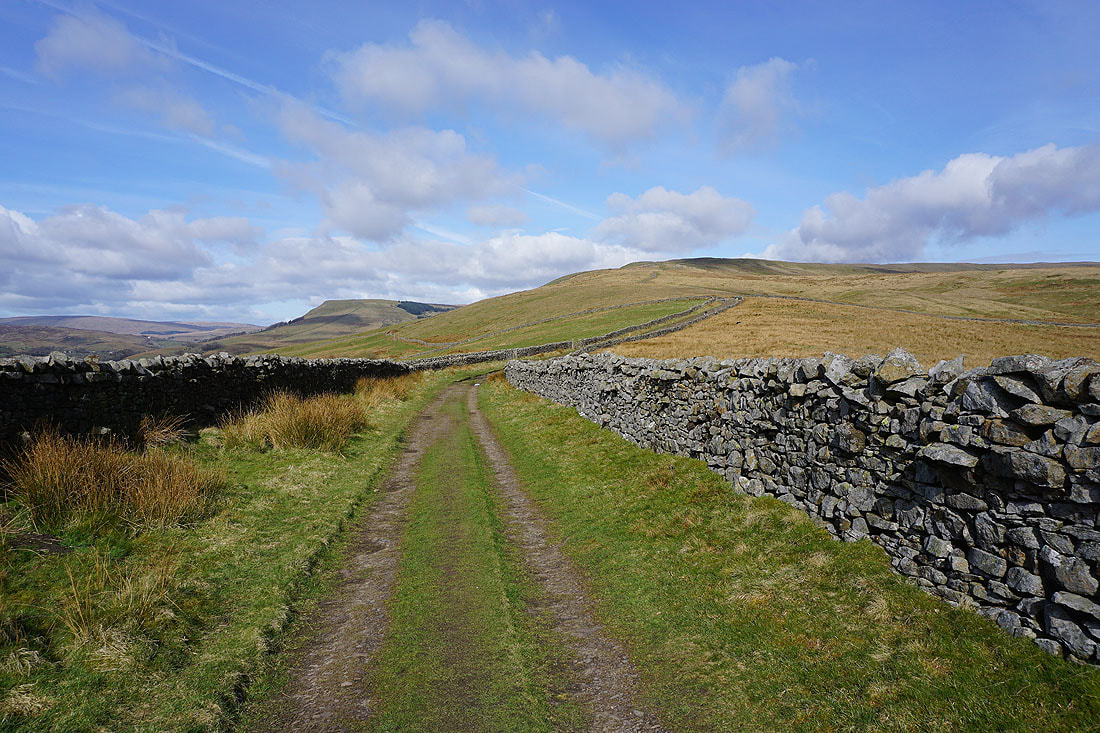
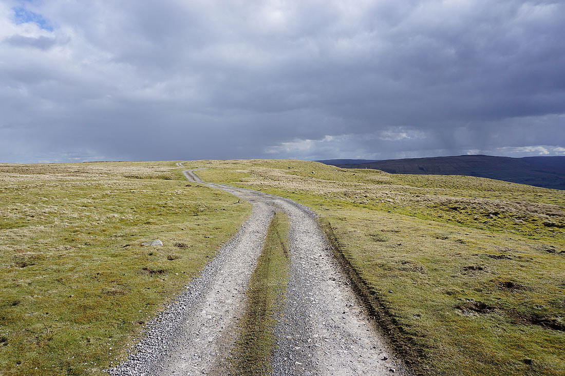
Leaving Hardraw on the Pennine Way
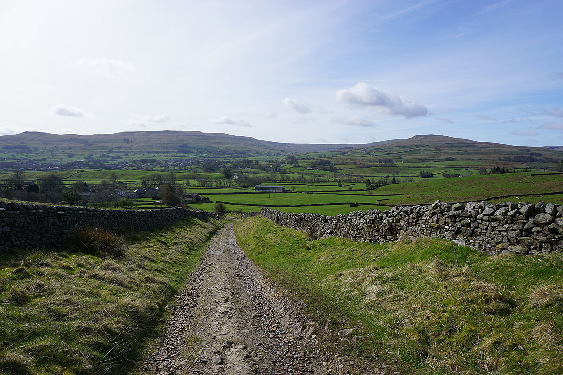
Looking back across Wensleydale to Wether Fell and Ten End
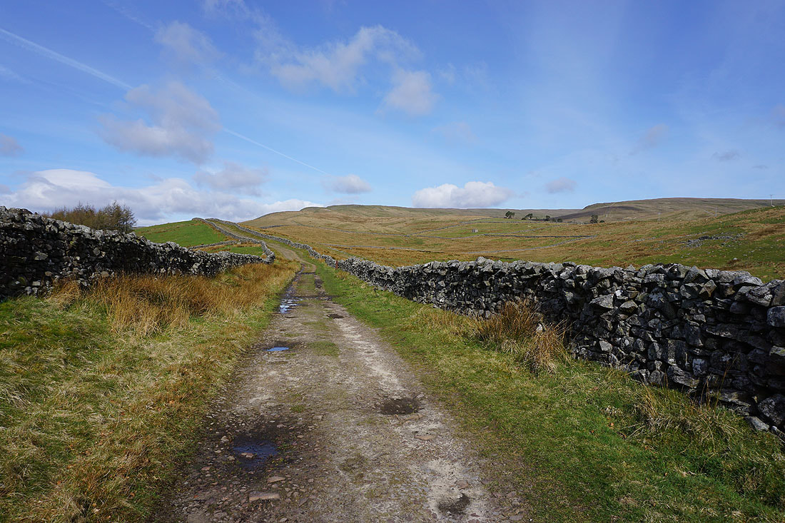
As I gain height the view opens up to Cotter End and Hearne Top..
Looking back down the Pennine Way to Wensleydale, Hawes and Wether Fell
and across Wensleydale to Ten End, Snaizeholme Fell and Widdale Fell
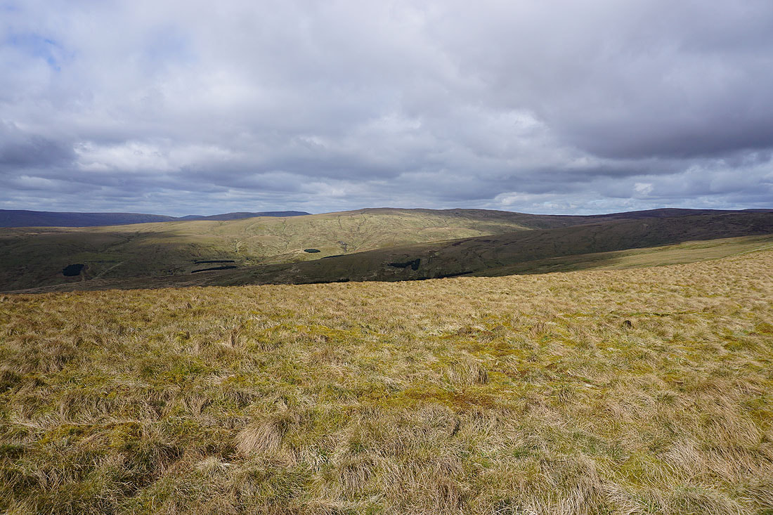
Lovely Seat and Abbotside Common to the east
The first sighting of the top of Great Shunner Fell
Looking southeast to Wensleydale and Wether Fell
and south to Dodd Fell Hill
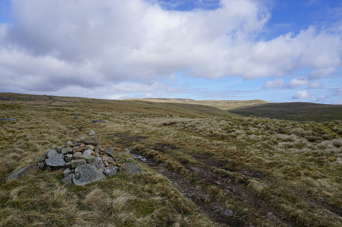
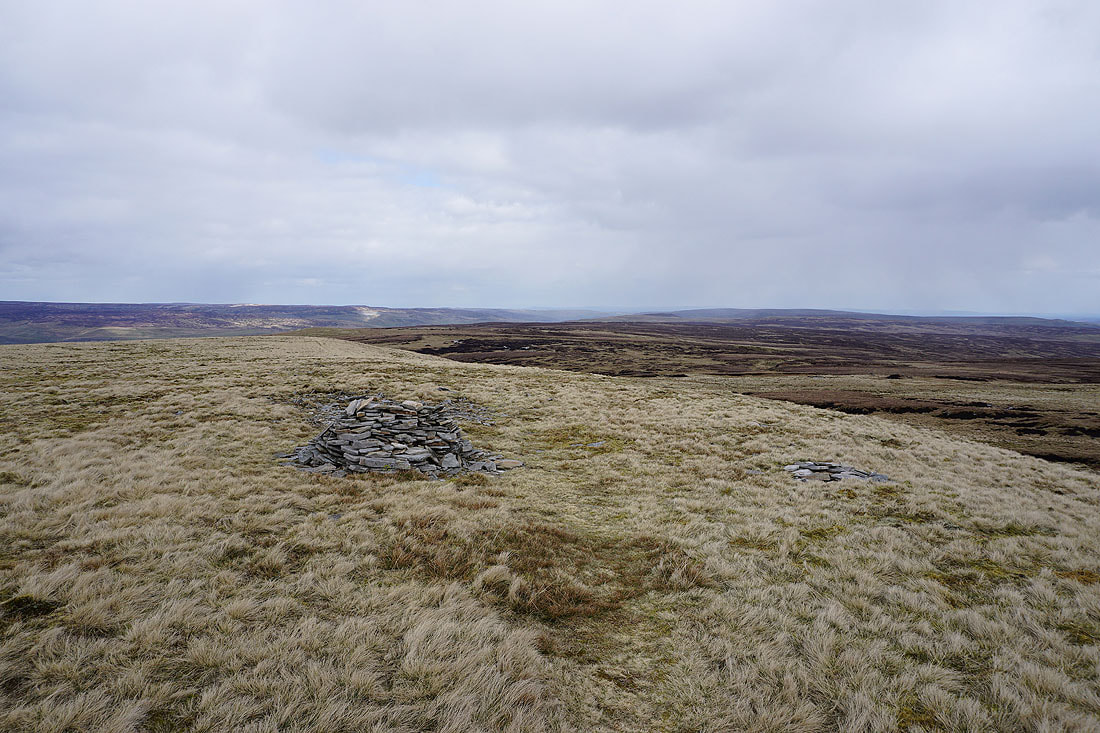
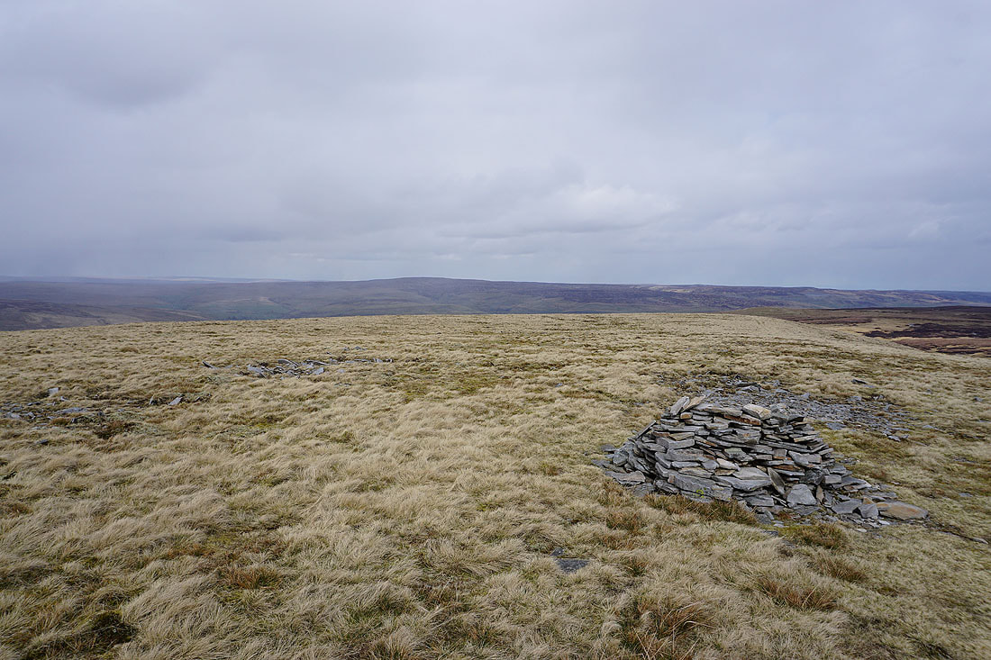
The cairn at Crag End Beacon ahead
Sunshine on Lunds Fell on the other side of Cotterdale
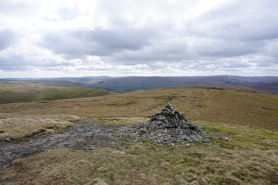
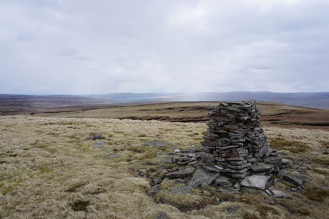
The view across Wensleydale from the cairn on Crag End Beacon
and to the south to Wether Fell, Dodd Fell Hill, Ingleborough and Great Knoutberry Hill from Hearne Head
The summit shelter is in sight at last, and the ice on the ground shows just how chilly it is up here
A fence provides a bit of foreground interest looking south to Wether Fell, Dodd Fell Hill, Ingleborough, Great Knoutberry Hill and Whernside
Wild Boar Fell and High Seat to the west and northwest. I can make out a dusting of snow on the tops of the Lake District fells through the gap between them.
A dusting of snow on Cross Fell in the North Pennines in the distance
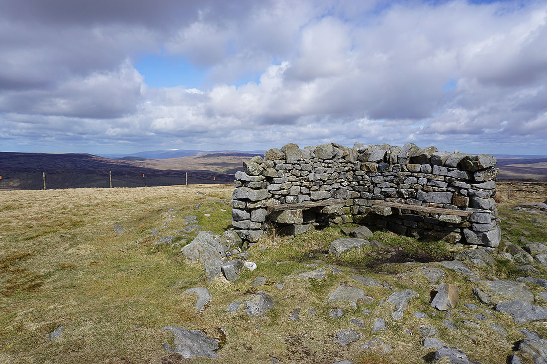
The perfect place to stop for lunch, and I'll have some shelter from the cold wind that's blowing
The good visibility means that I've got a great all-round view from up here today. Looking southwest to Ingleborough, Great Knoutberry Hill, Whernside, Great Coum and Baugh Fell.
Swarth Fell, Lunds Fell, Wild Boar Fell, Hugh Seat and High Seat to the west
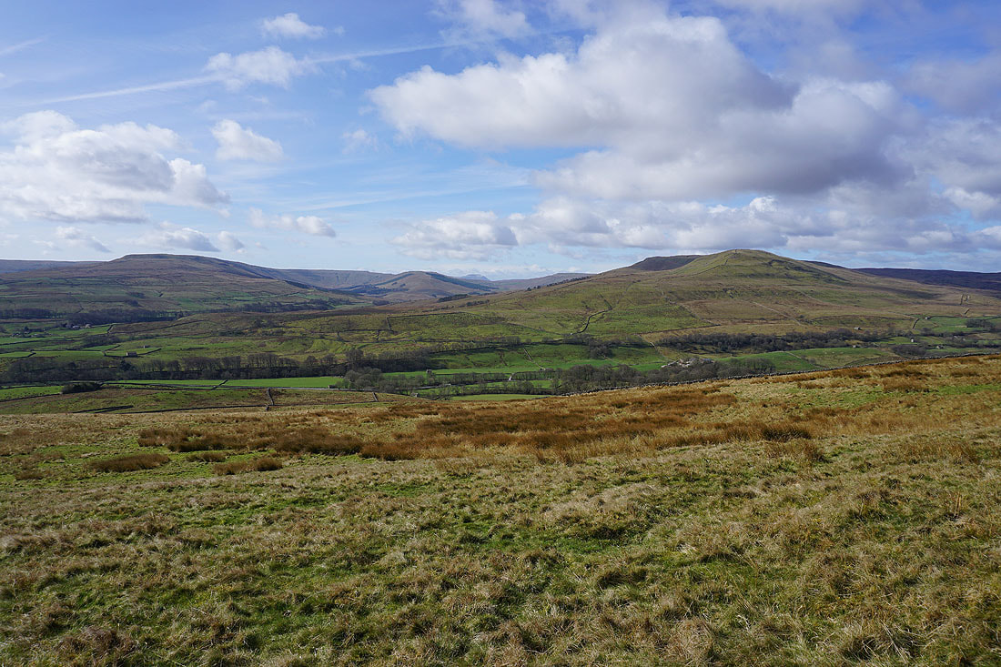
The fells around Wensleydale to the southeast, and I can make out the top of Buckden Pike in the distance
Finally, looking north to Nine Standards Rigg and the North Pennines
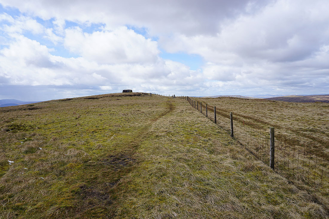
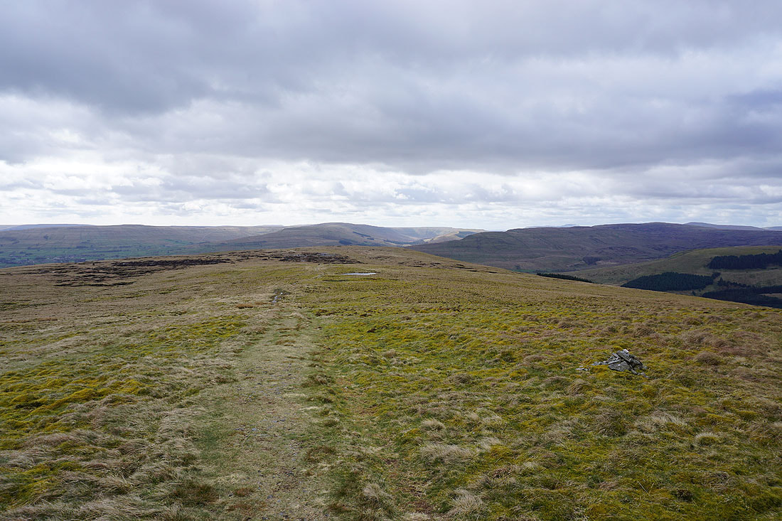
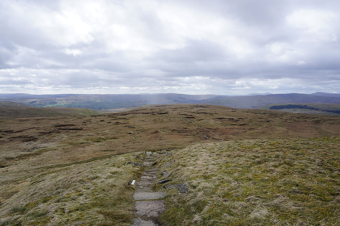
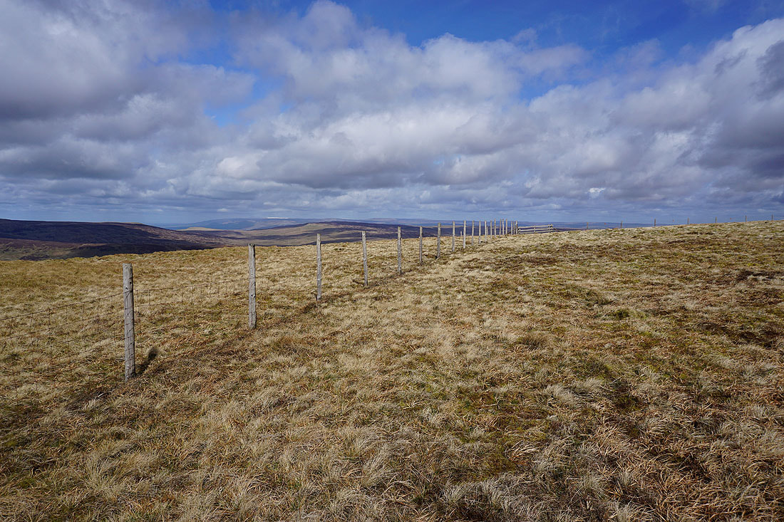
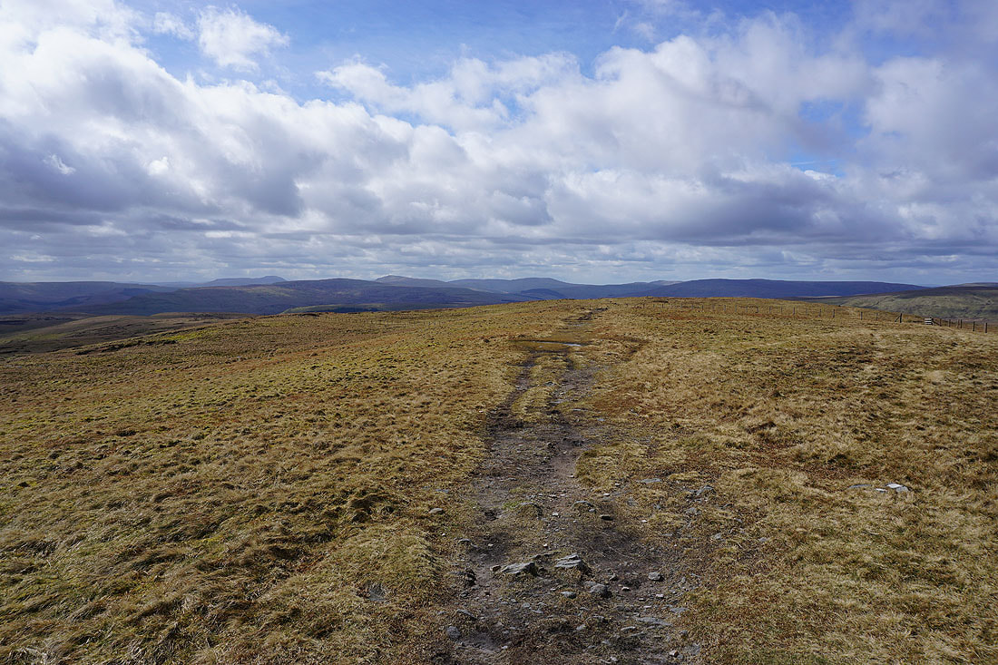
Looking back to the cross shelter as I leave it behind and follow the fence to Little Shunner Fell
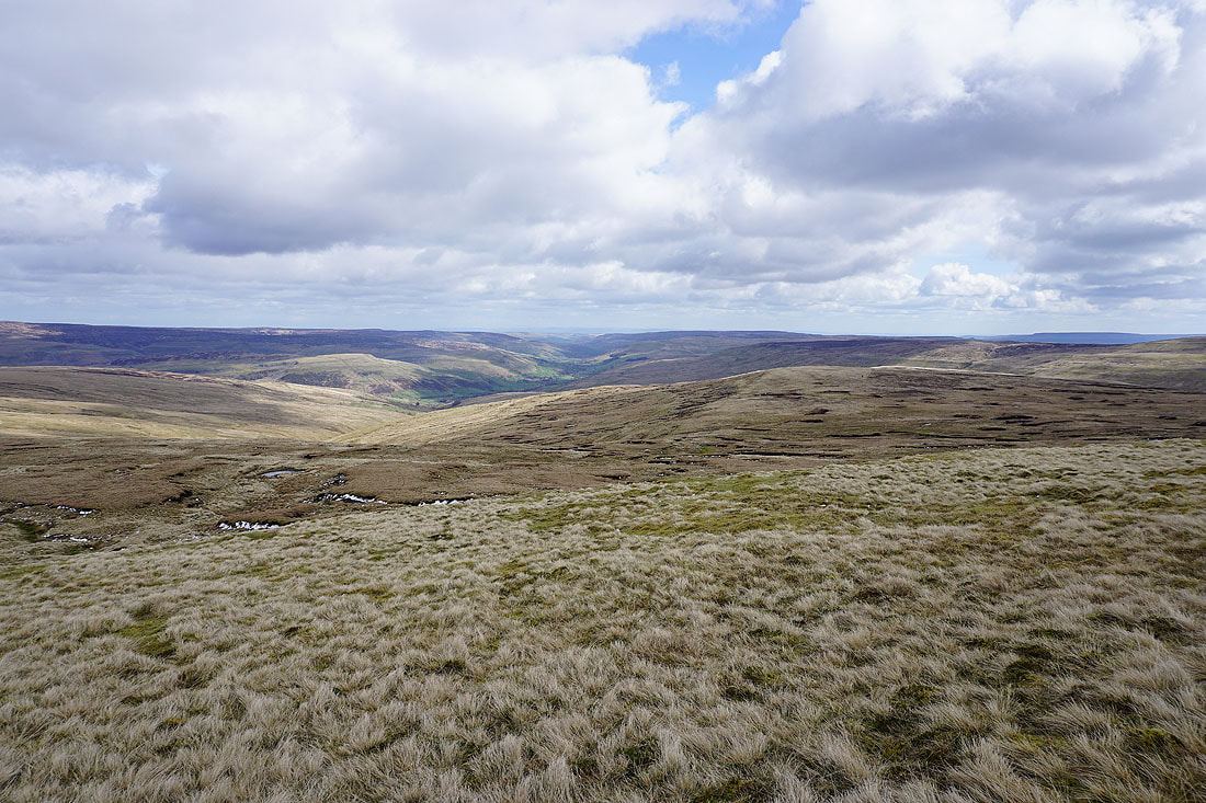
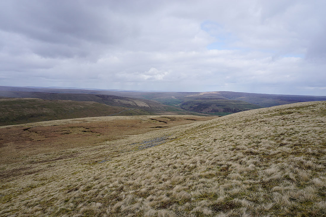
A short diversion to the top of the slopes of Thwaite Common gives me a great view of Swaledale. Much better than from the top of Great Shunner Fell.
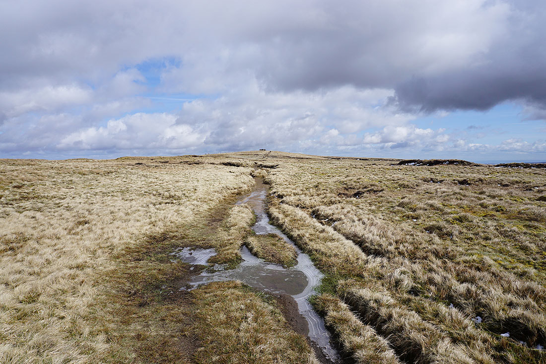
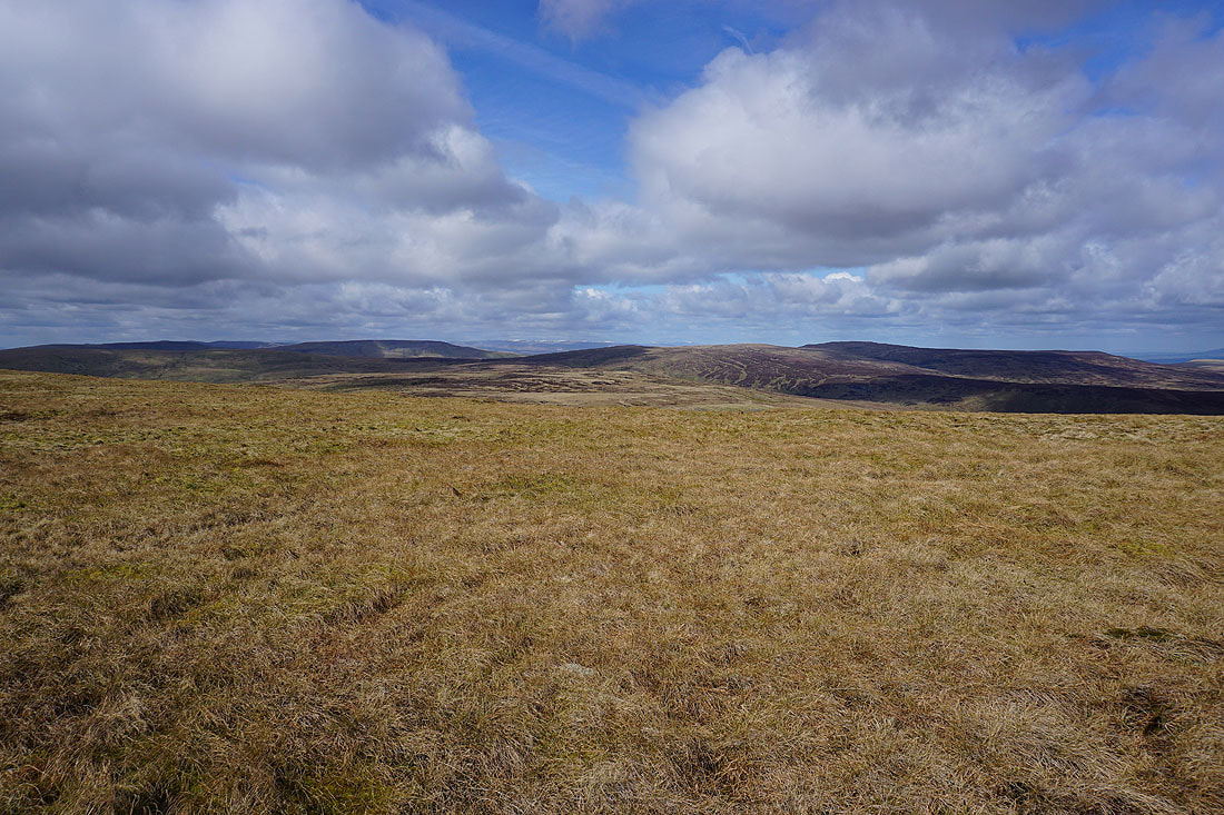
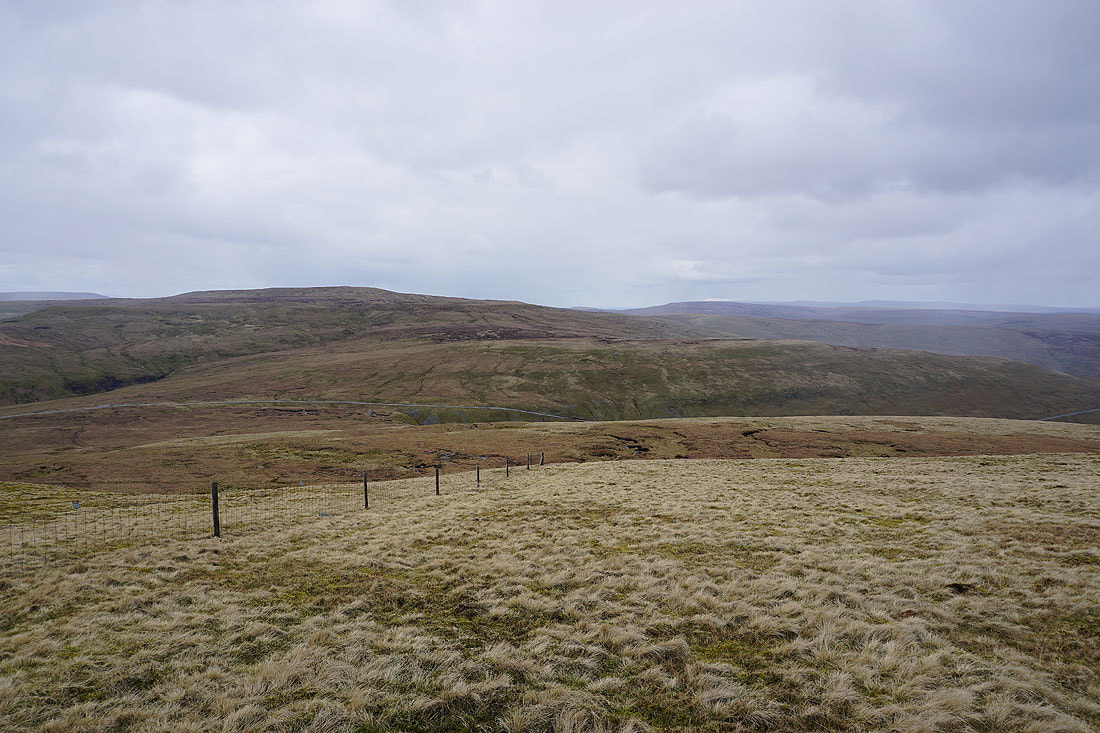
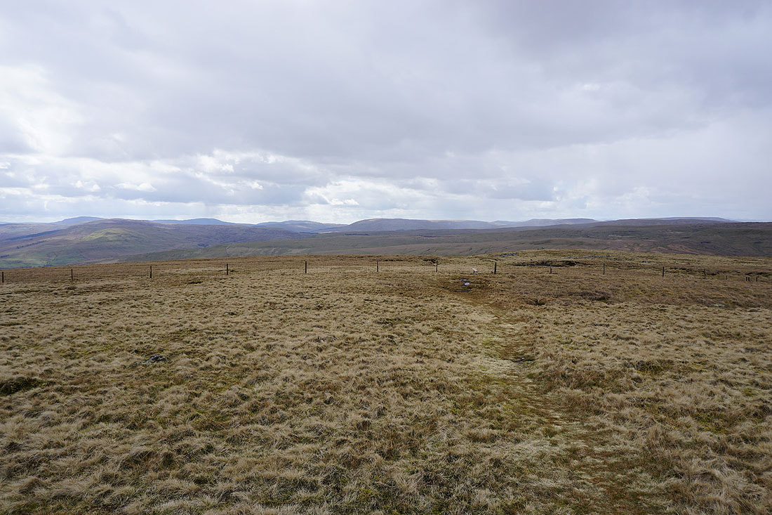
Following the fence across Little Shunner Fell. The ground is quite firm underfoot.
Great Shunner Fell from Little Shunner Fell
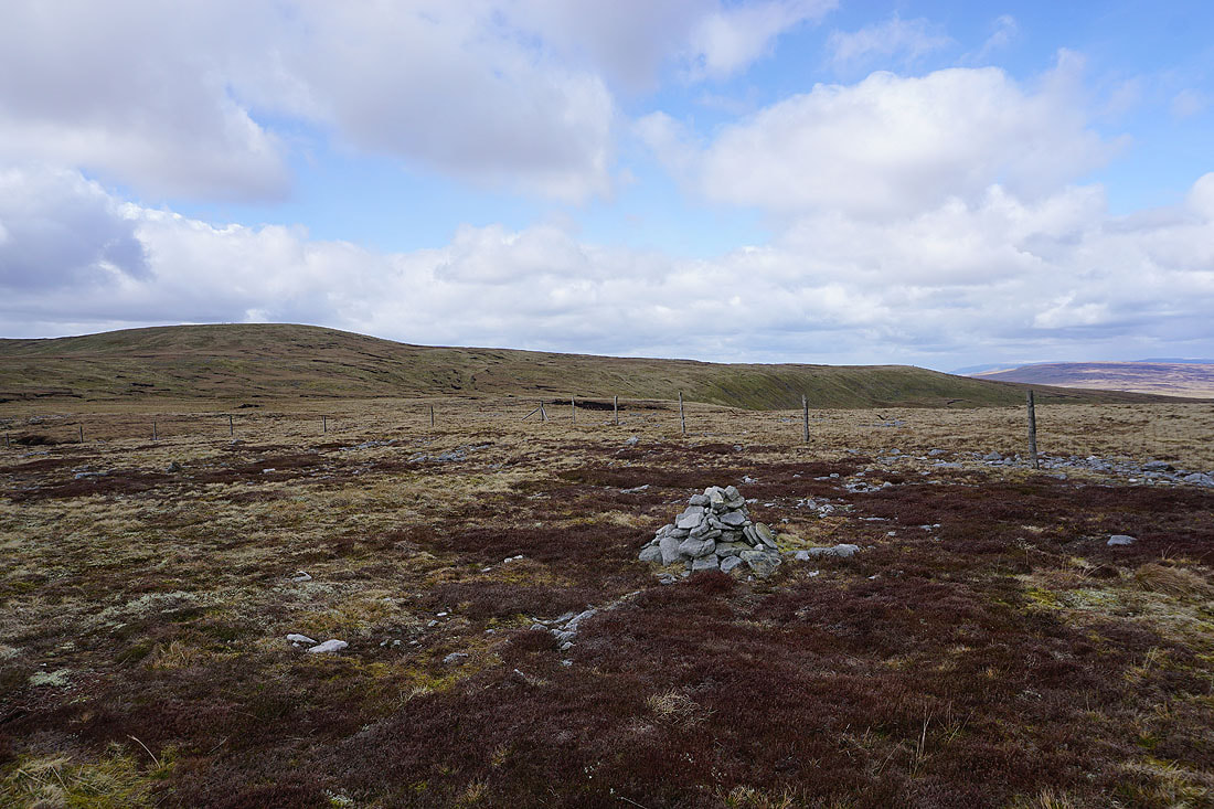
A cairn at the top of the slopes of Grainy Gill Moss gives me a view of a snow topped Cross Fell in the distance
Along with one looking east down Swaledale
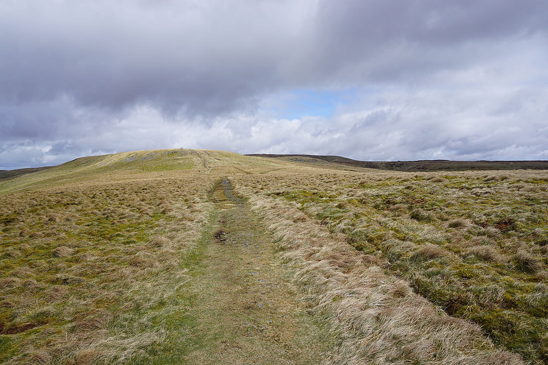
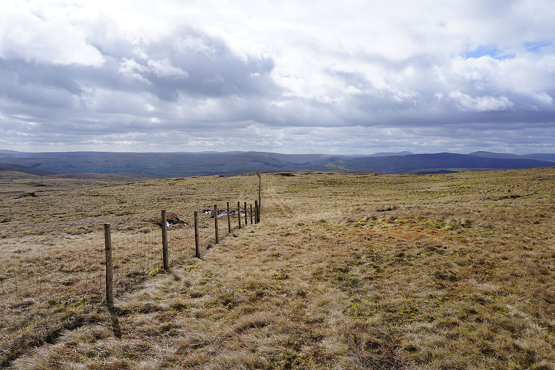
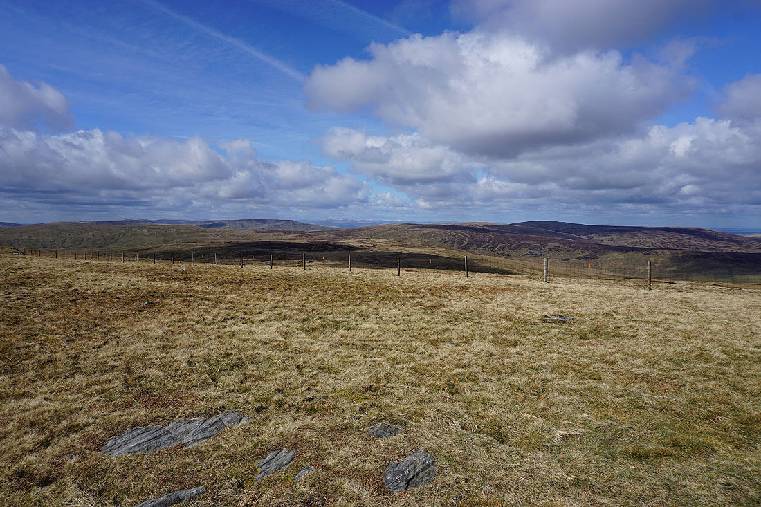
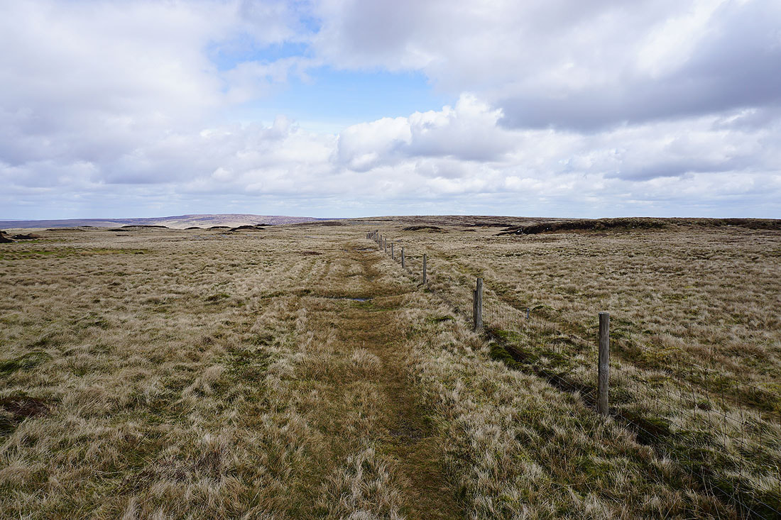
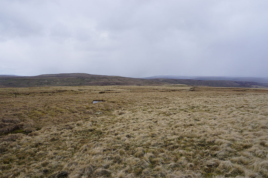
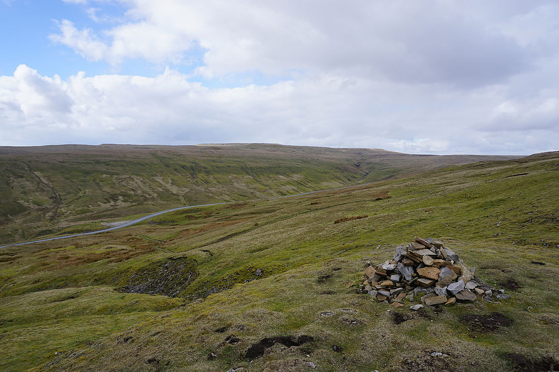
From Little Shunner Fell I follow the fence across Grimy Gutter Hags and down to the road across the Buttertubs pass..
The road down to Thwaite in Swaledale. I had thought about visiting the Butter Tubs until I remembered just how far down I'd have to walk, and of course back up again.
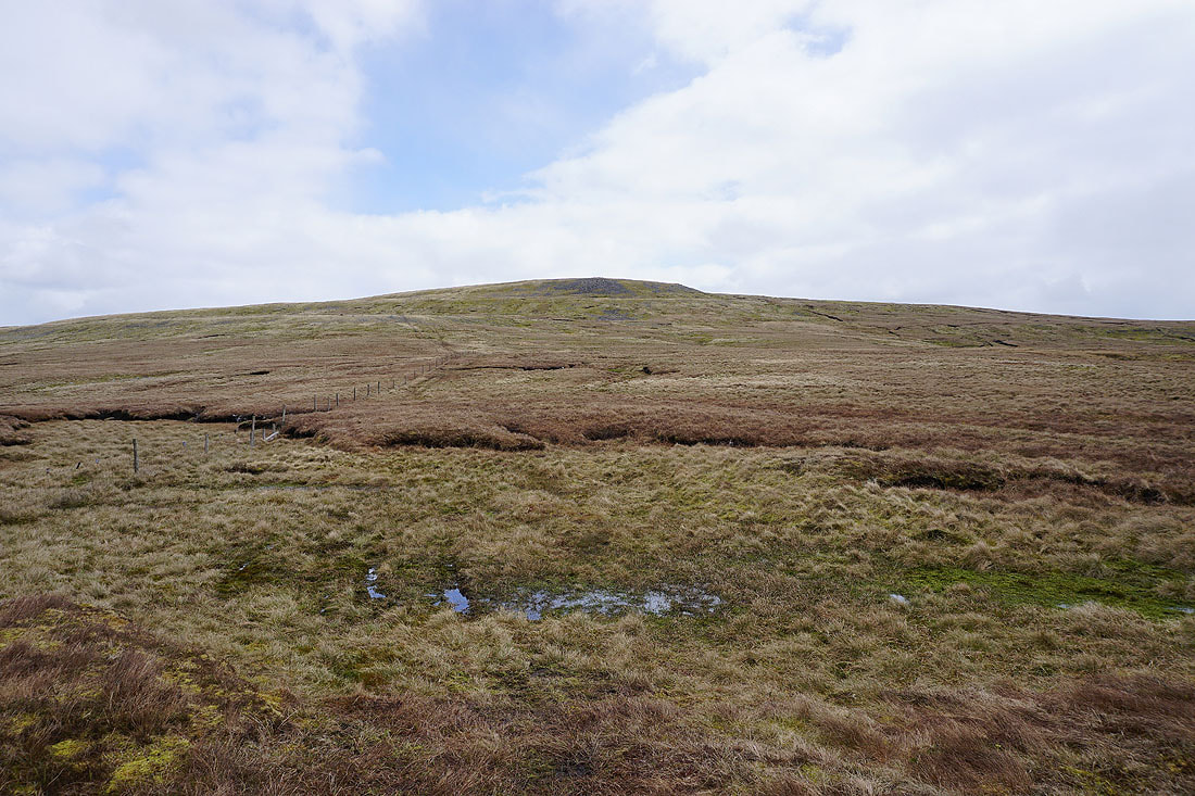
Starting the climb of Lovely Seat
A pause to take in the view. The moors around Keld in Swaledale, with Rogan's Seat on the right.
Looking across the Buttertubs Pass to Great Shunner Fell
It's still a bit nippy up here
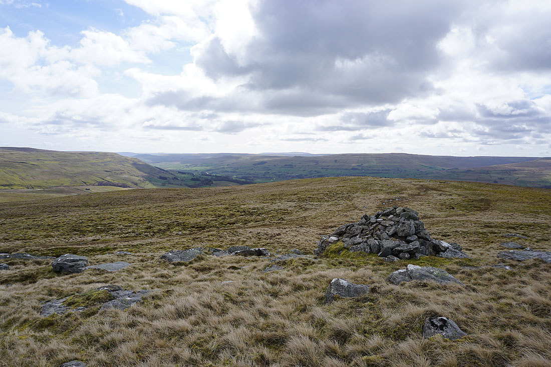
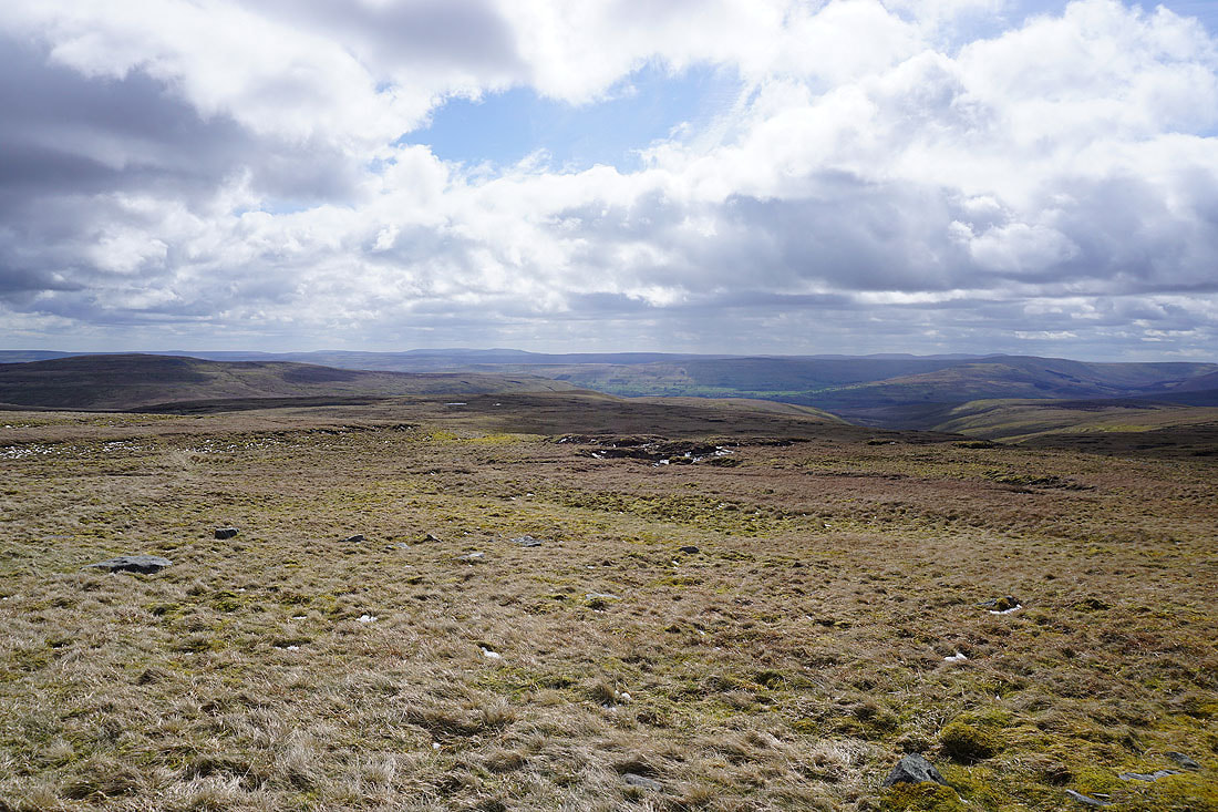
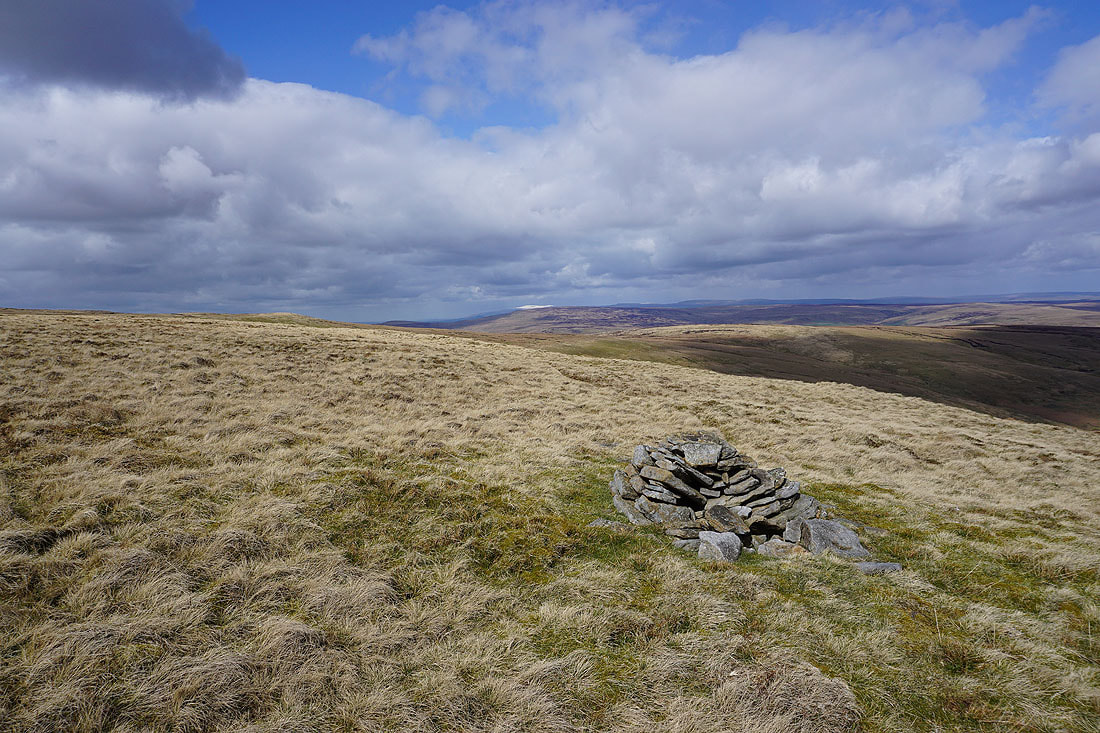
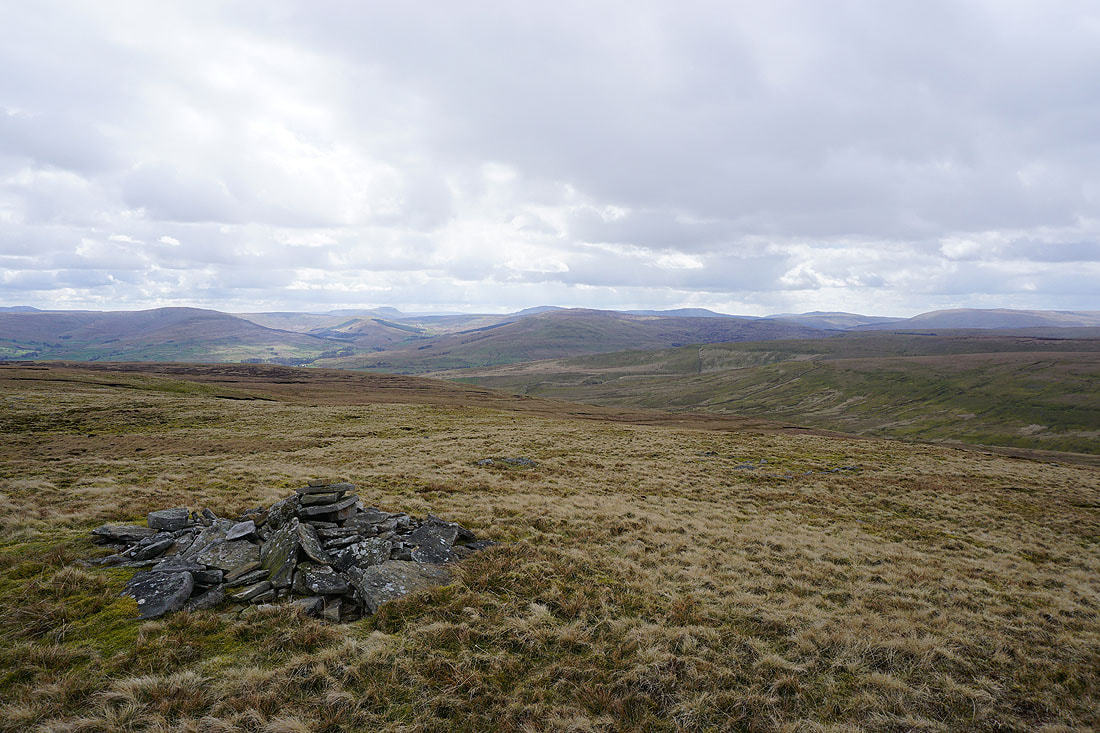
On the summit of Lovely Seat. Since I left Great Shunner Fell it's clouded over and now there are a few flakes of snow in the wind. Fortunately the visibility is still good for taking in the extensive view. To the east, the moorland around Swaledale.
Rogan's Seat on the other side of Swaledale
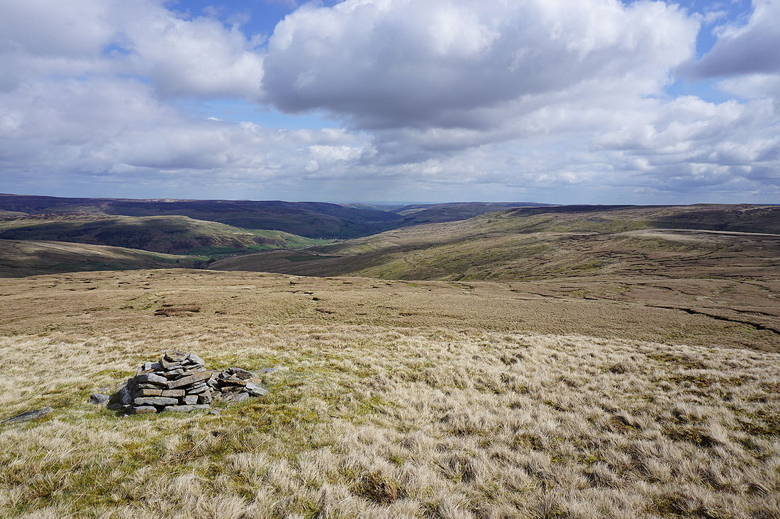
Wensleydale beyond the moorland of Abbotside Common
Whernside, Great Knoutberry Hill, Great Coum, Baugh Fell and Swarth Fell in the distance to the southwest and west
Great Shunner Fell, Thwaite Common and the worsening weather that's approaching from the northwest
Finally, Dodd Fell Hill, Ingleborough, Whernside, Great Knouberry Hill, Great Coum and Baugh Fell to the south and southwest
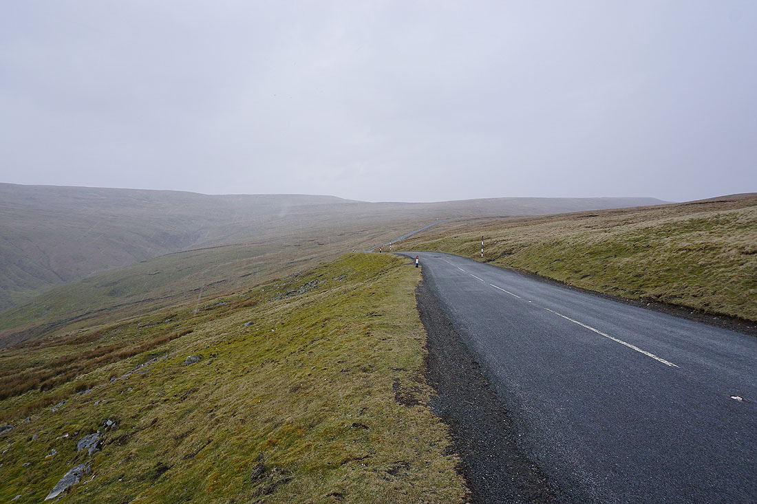
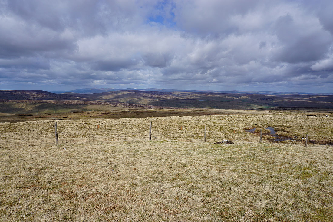
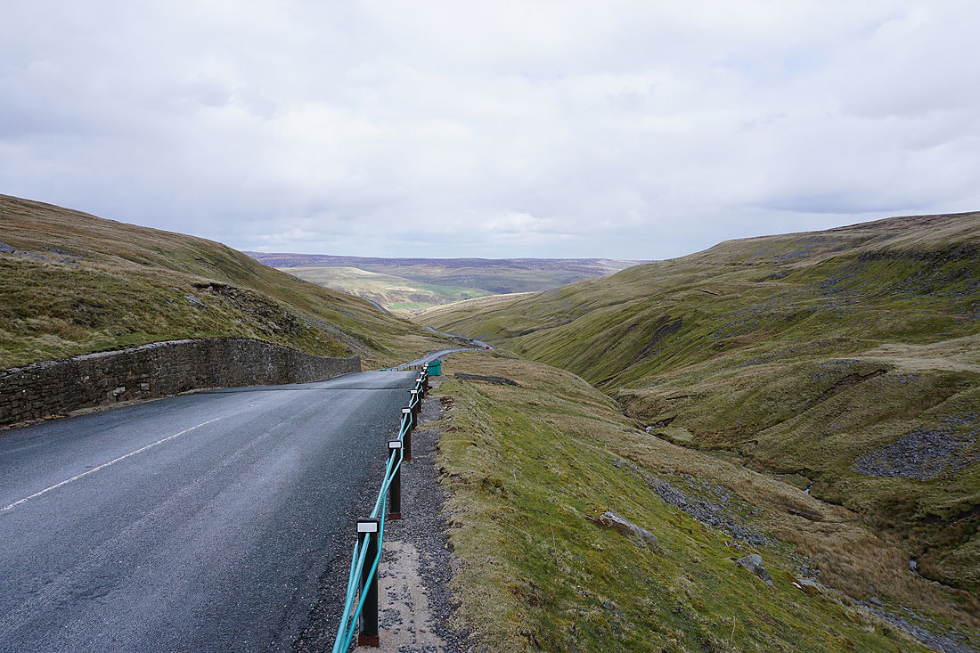
Back down on the road across the Buttertubs pass and that deterioration in the weather has arrived
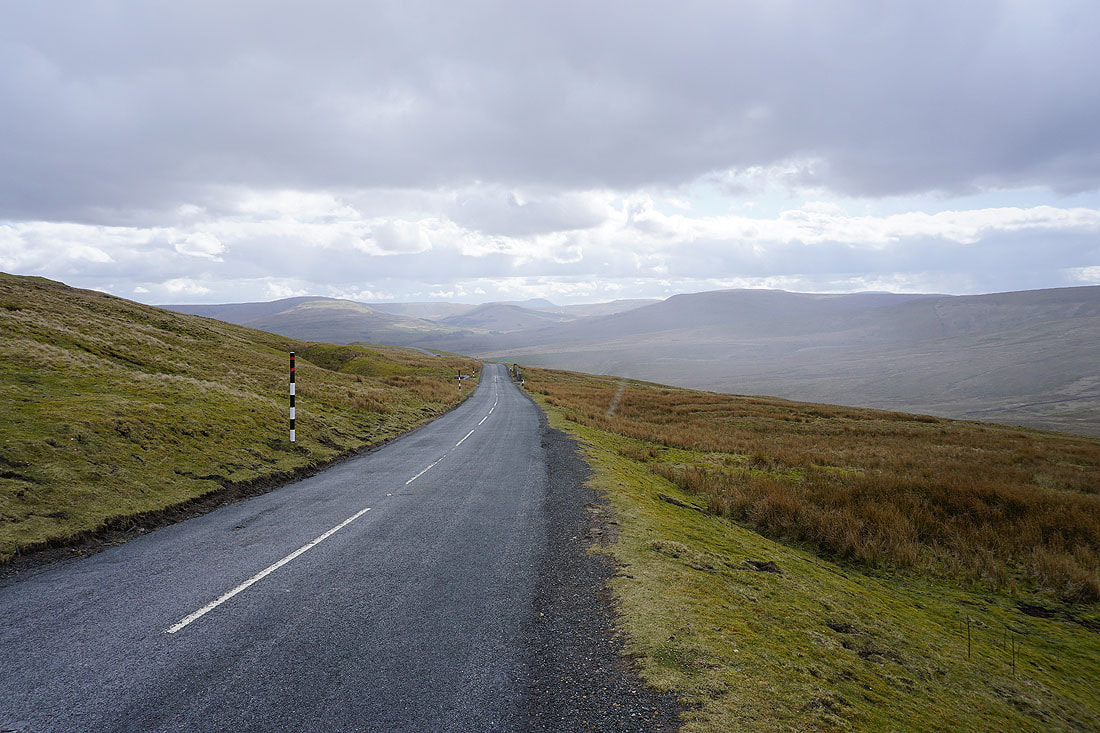
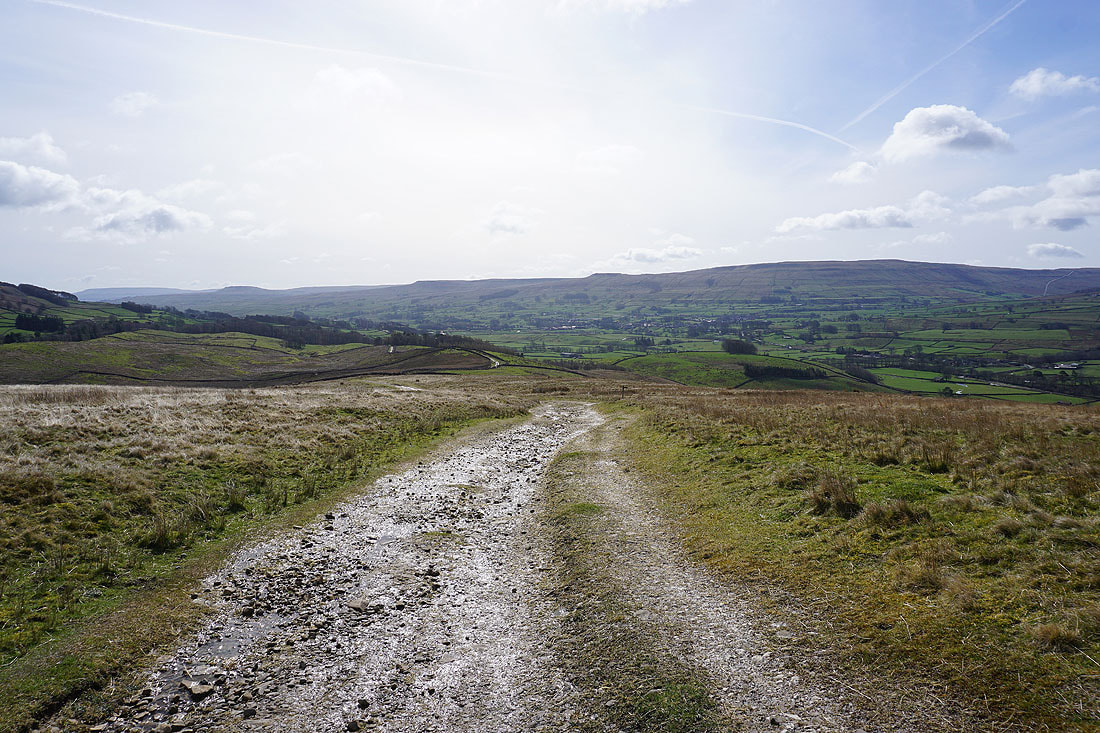
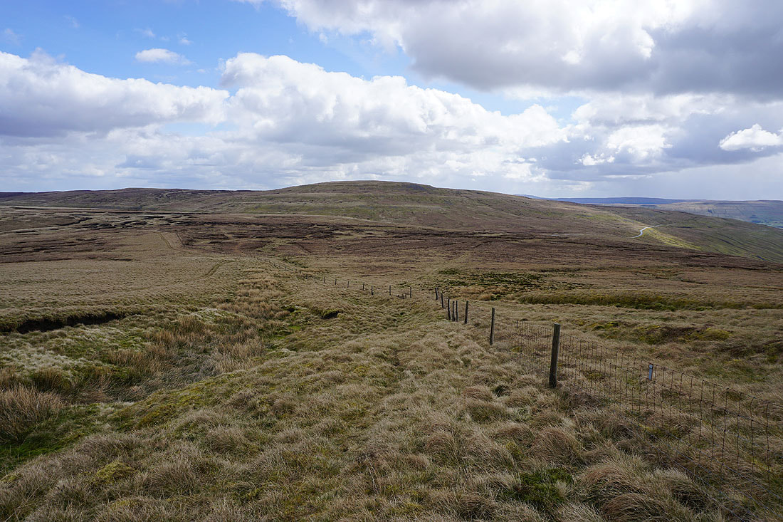
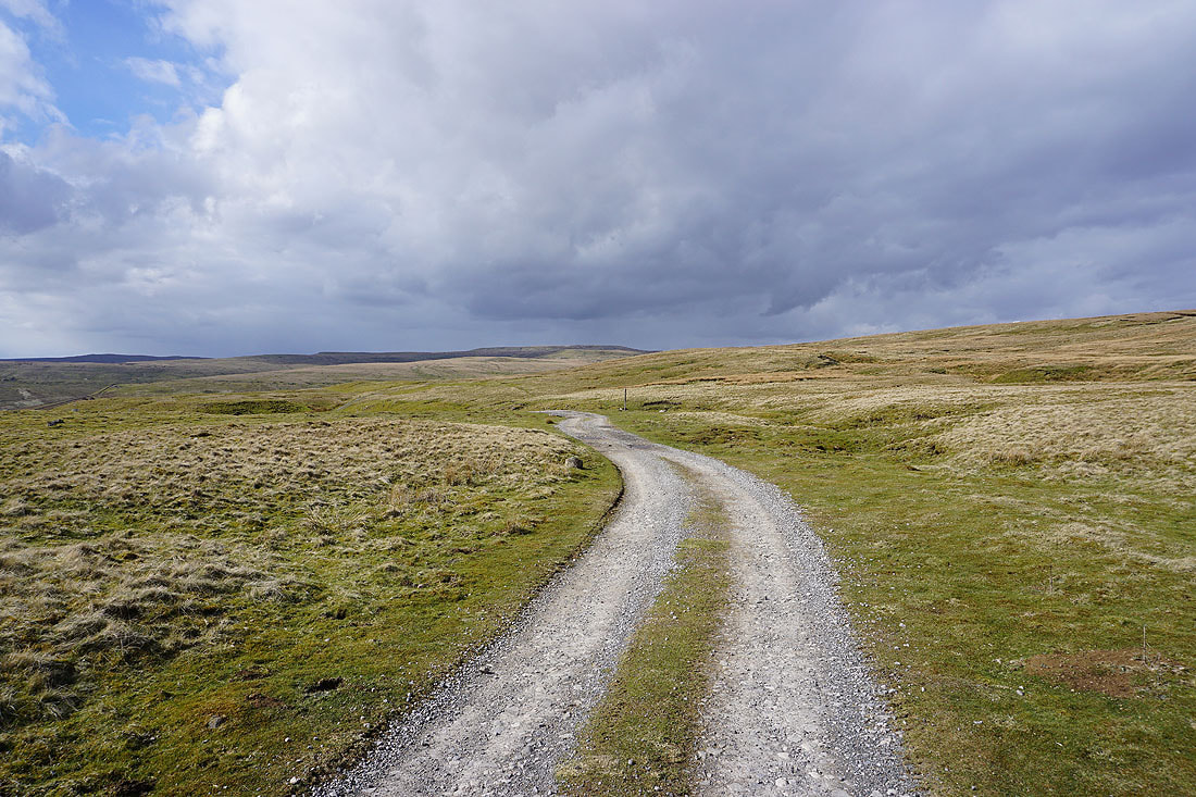
I have a walk down the road to reach the bridleway onto High Clint
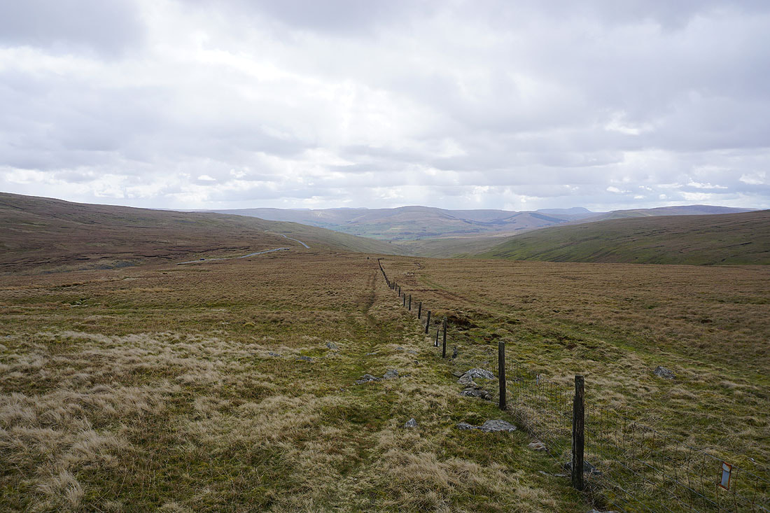
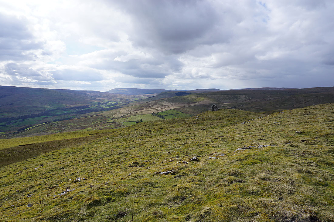
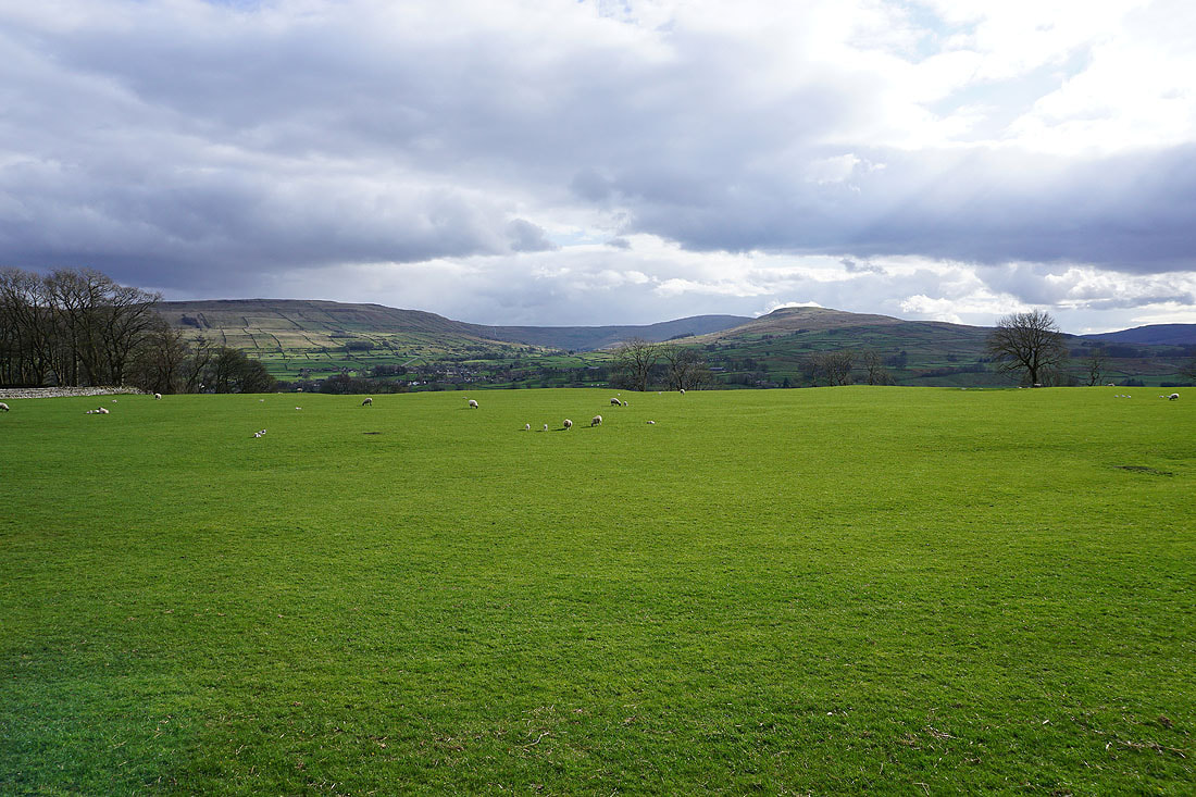
Off the road and onto the bridleway. Looking back to Great Shunner Fell and Fossdale.
and across Wensleydale to Wether Fell, Dodd Fell Hill and Ten End
The sun makes a welcome return as I head east along the track above High Clint..
The head of Wensleydale with Baugh Fell in the distance as I head down to the top of High Clint
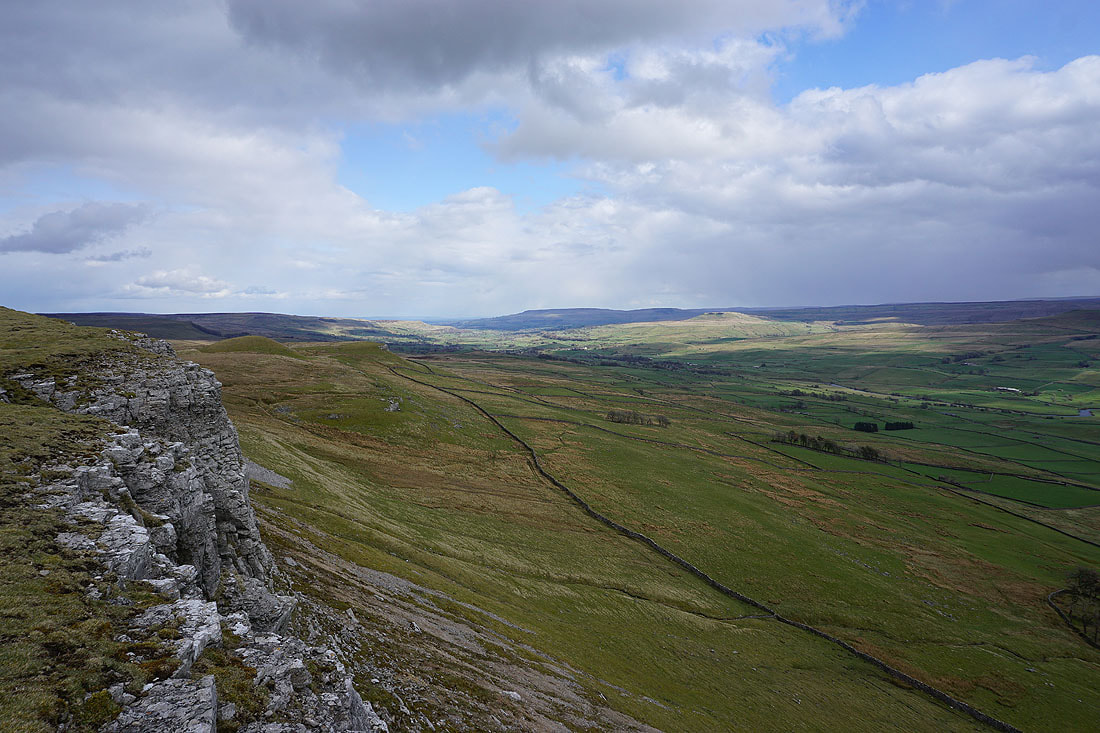
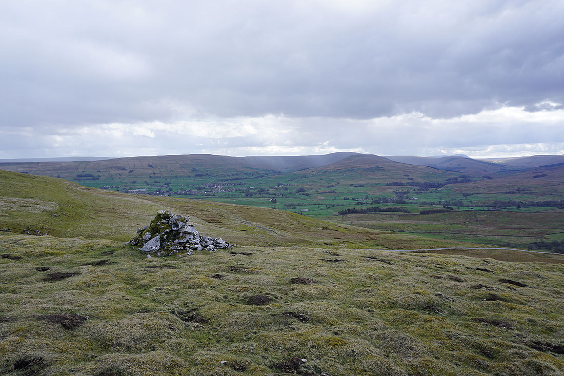
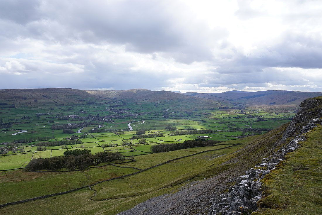
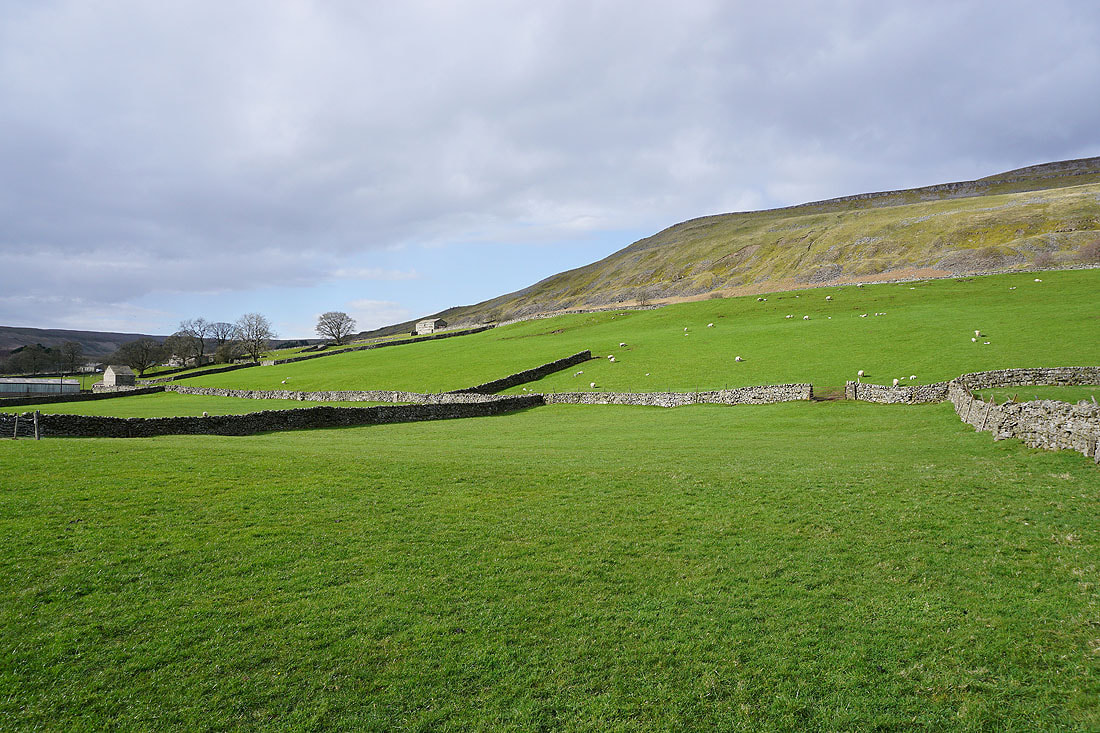
There's a great view of Wensleydale from High Clint. Looking down dale to Penhill, with Addlebrough in sunshine on the right.
and across to Wether Fell, Hawes and Gayle, Sleddale, Dodd Fell Hill and Ten End, and Widdale and Widdale Fell..
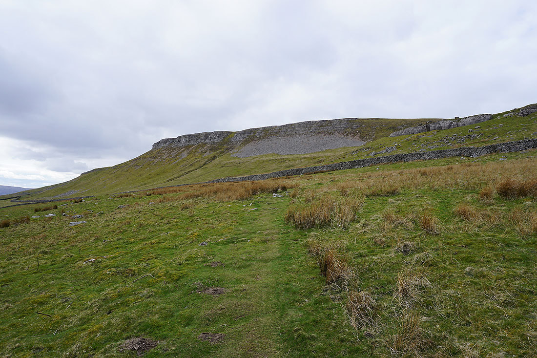
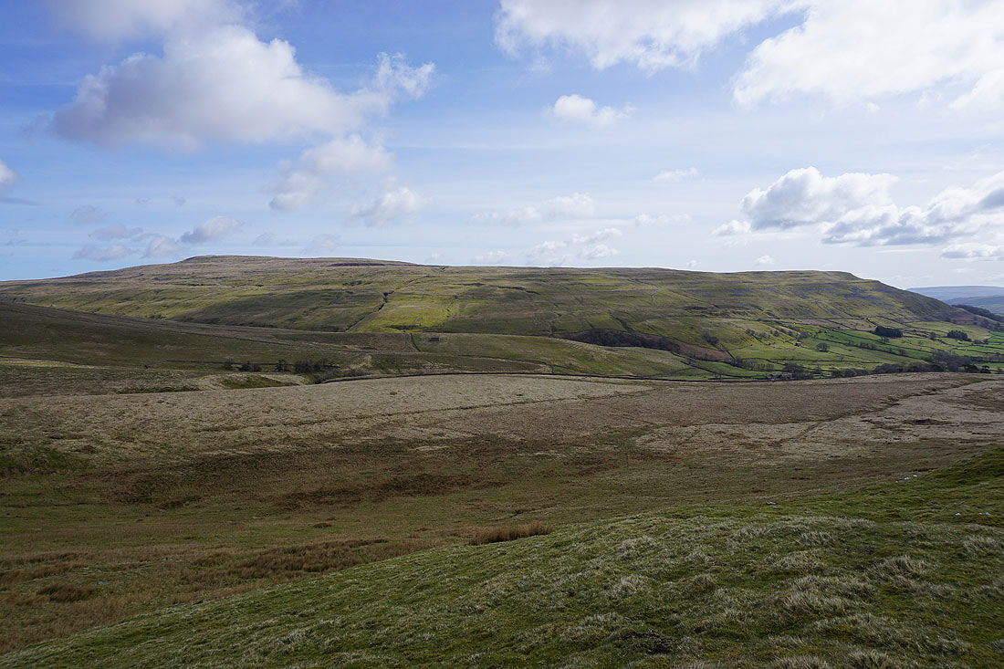
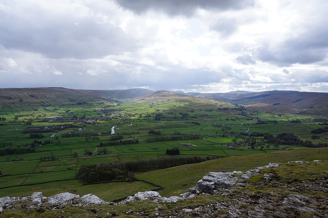
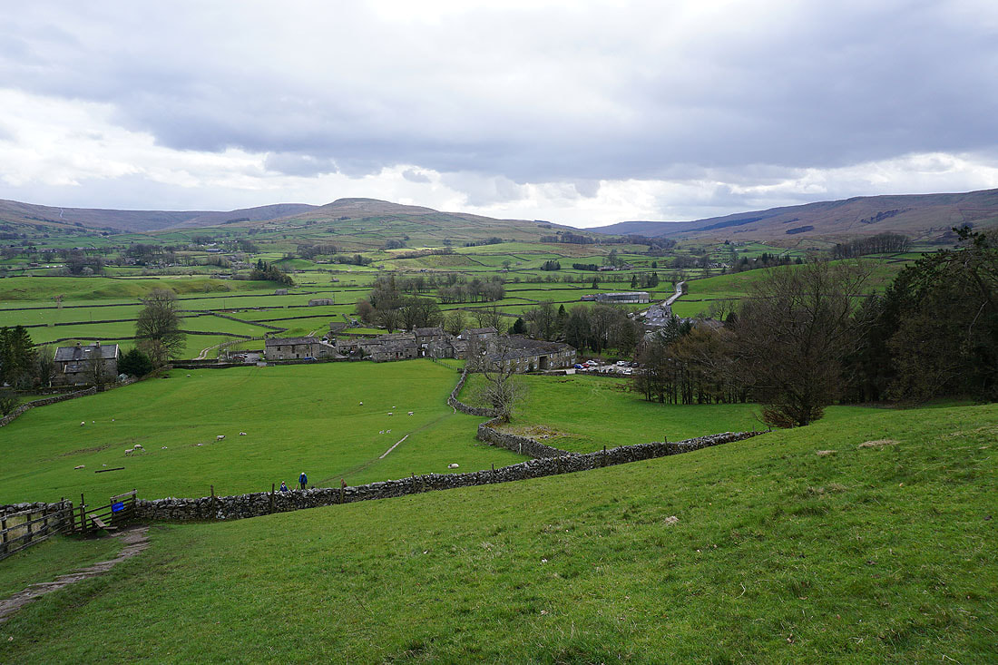
High Clint from the bridleway down to Shutt Lane
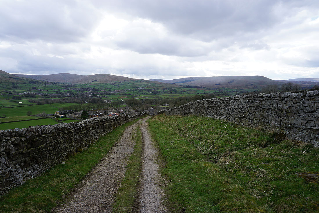
Following Shutt Lane down to Sedbusk
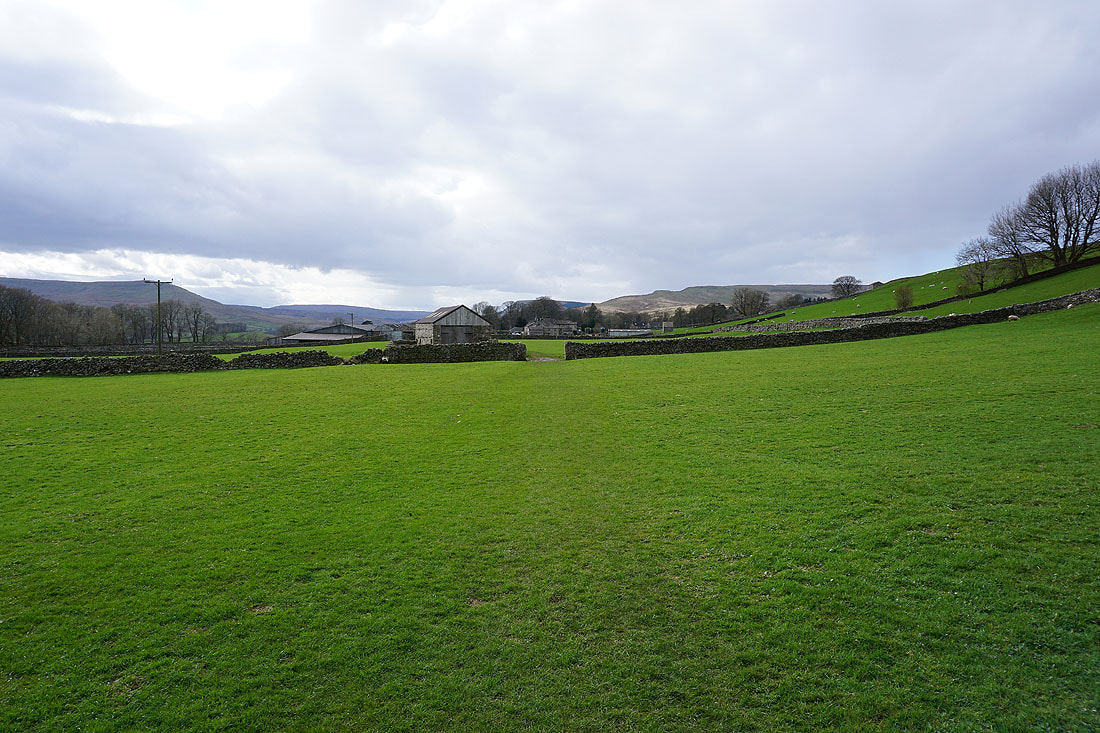
From Sedbusk I take a footpath west across fields to Simonstone
High Clint above
and to my left Wether Fell and Ten End on the other side of Wensleydale
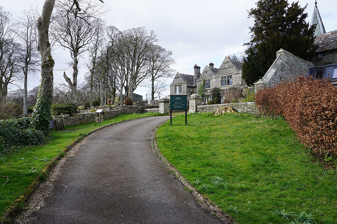
After crossing the road through Simonstone I take the footpath up the drive to Simonstone Hall, which I'll leave on the left for the footpath down to Hardraw
Hardraw below
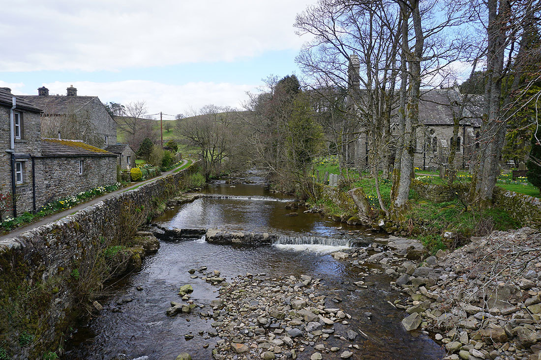
Back in Hardraw and a final photo of Hardraw Beck, with the church of St. Mary's and St. John's in the trees on the right