9th August 2014 - Back Tor & Derwent Edge
Walk Details
Distance walked: 11.7 miles
Total ascent: 2065 ft
OS map used: OL1 - The Peak District, Dark Peak area
Time taken: 7 hrs
Route description: Fairholmes-Derwent Reservoir-Abbey Clough-Cartledge Stones Ridge-Back Tor-Derwent Edge-Whinstone Lee Tor-Derwent-Fairholmes
One of my favourite walks in the Dark Peak and good weather to enjoy it. More sunshine developed as the afternoon went on which made the displays of blooming heather even better to look at. Quite windy on the tops though, which I was glad of, as it kept all the insects away that would have been attracted to the heather.
From the car park at Fairholmes I took the path that heads under the Derwent dam and onto the track that follows the eastern shore of Derwent Reservoir. When the Howden dam came into view I turned right onto the track that follows the south side of Abbey Clough. I then followed the path all the way up the valley to its end on the Cartledge Stones Ridge where a flagged path carried me south to Back Tor. After having my lunch the best bit of the walk lay ahead, Derwent Edge, all the way down to Whinstone Lee Tor. My route back was along a bridleway under Derwent Edge, down Grindle Clough and the road through Derwent back to Fairholmes.
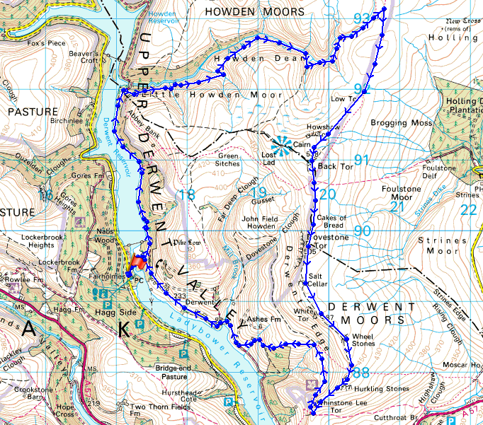
Route map
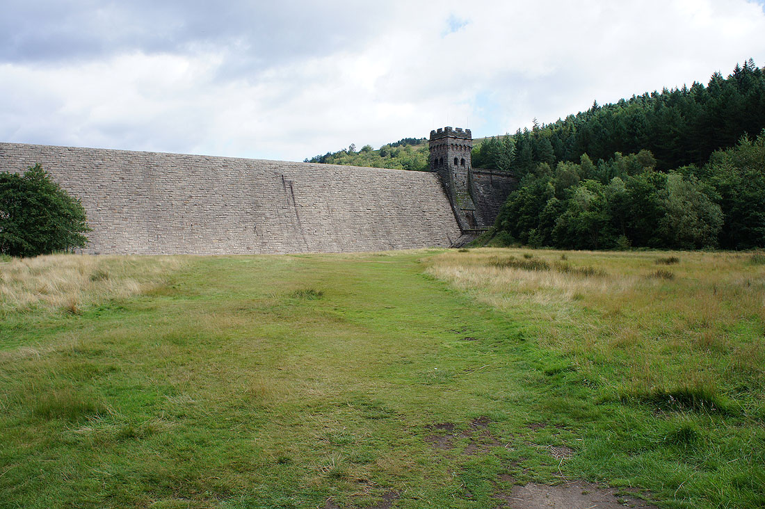
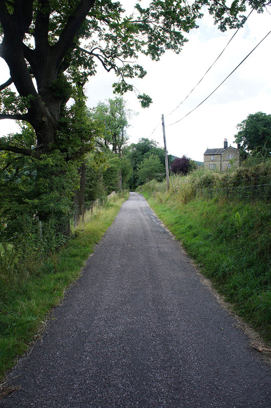
Leaving the car park at Fairholmes behind and heading underneath the Derwent dam
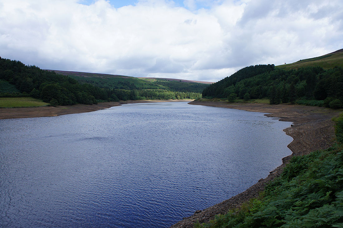
The Derwent Reservoir is less than full at the moment. There's a notice board in the car park that tells you how full each of the reservoirs in the Upper Derwent Valley is. Howden is even lower.
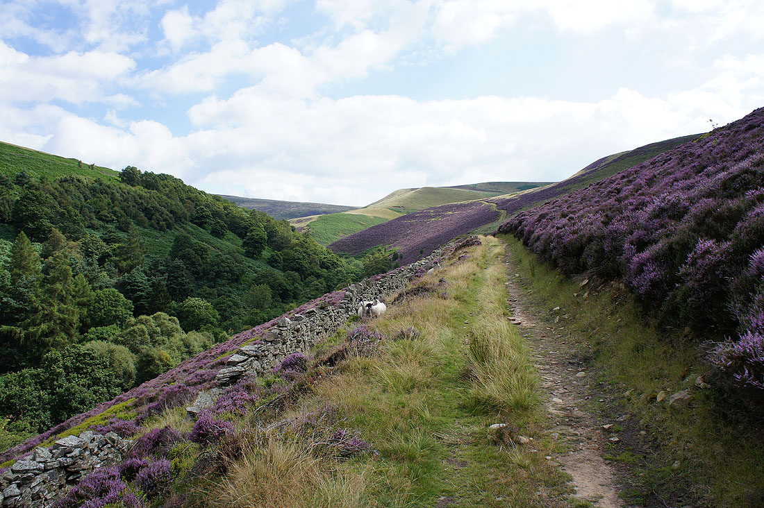
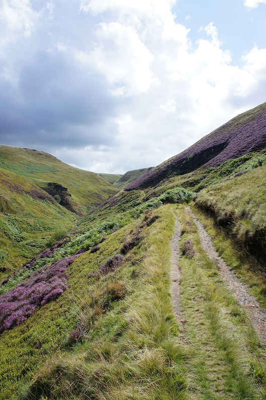
The path up Abbey Clough stretches ahead
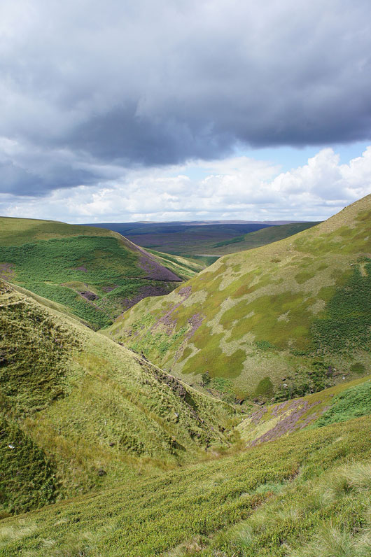
Higher up the sides of the valley close in and there are occasional craggy outcrops
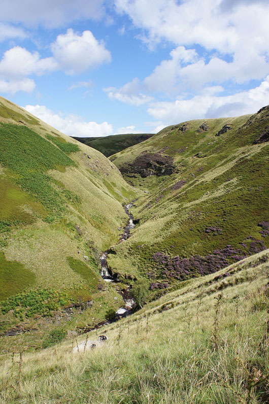
Cascades in Abbey Brook as it turns north. The path I'm on crosses Bents Clough and then crosses the top of the hillside on the right.
Looking back down Abbey Clough
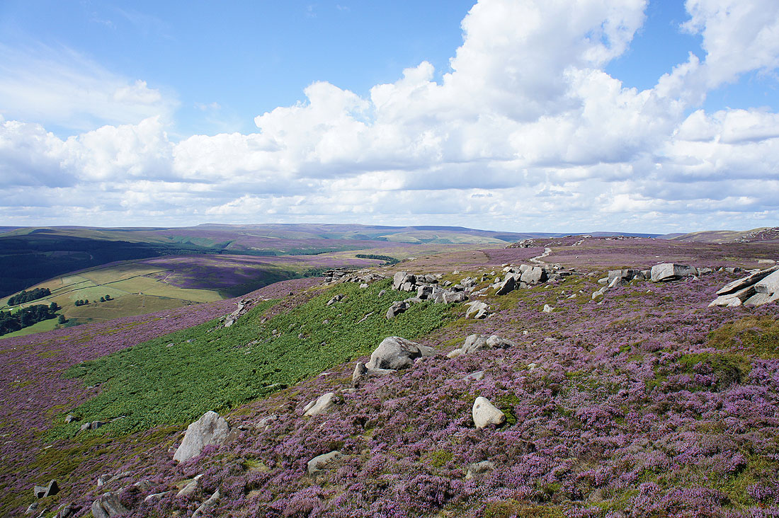
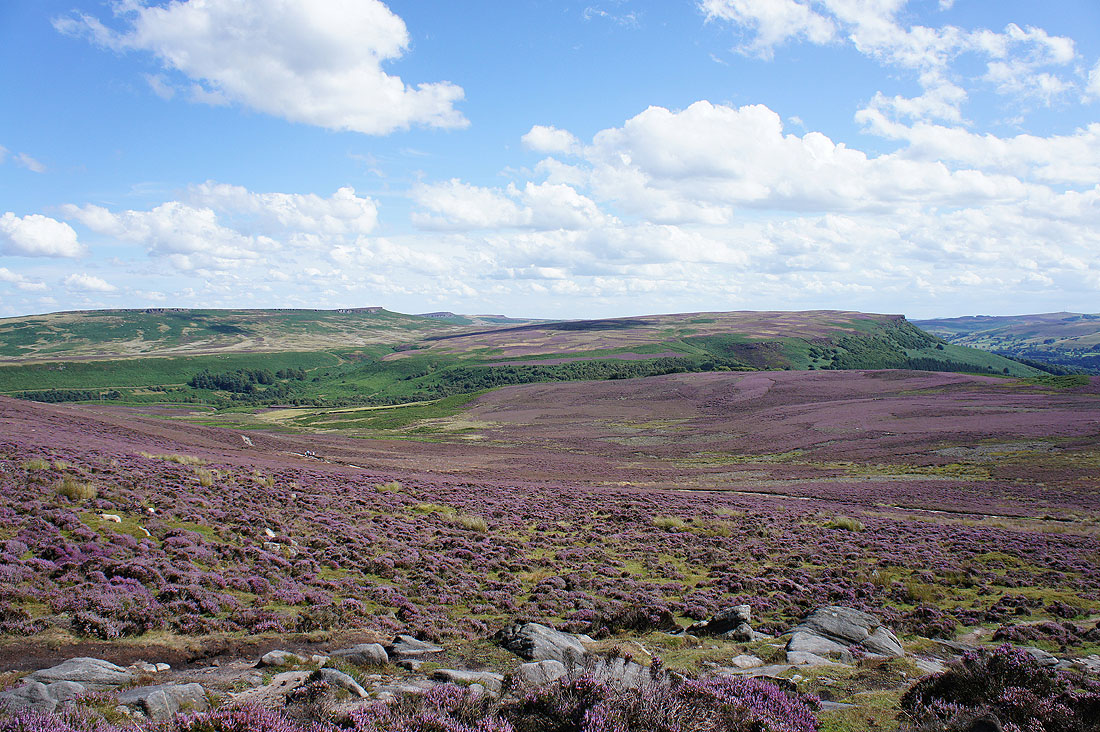
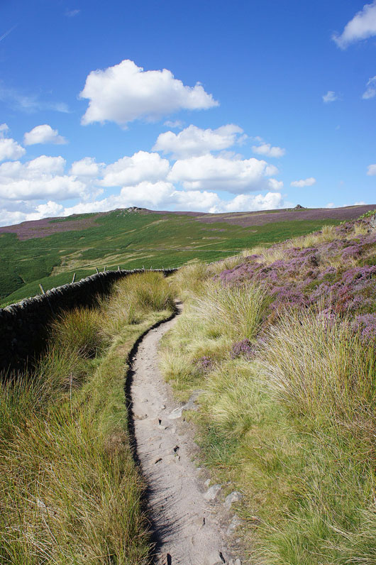
Up on the open moor at last. The heather is putting on a fantastic display.
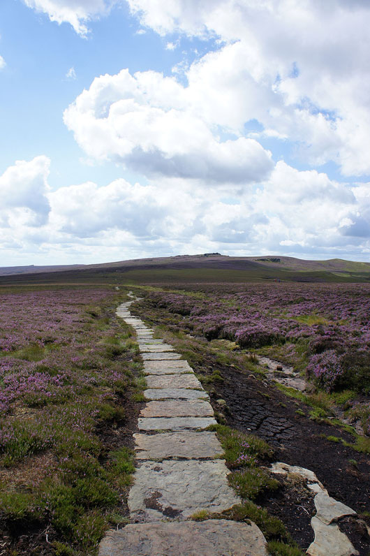
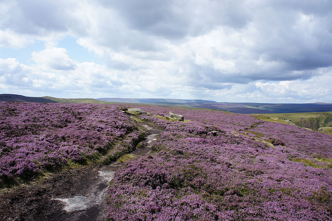
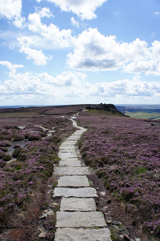
A flagged path carries me on towards Back Tor
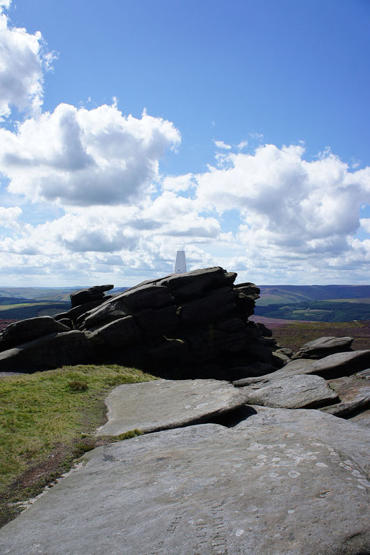
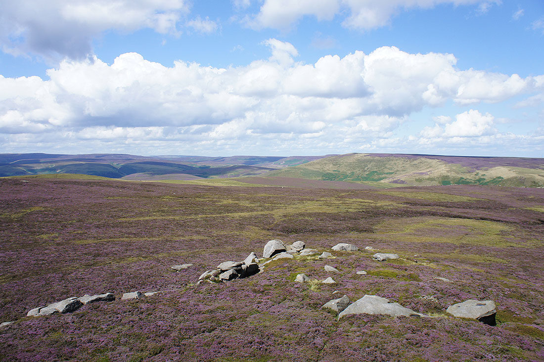
The trig point atop Back Tor that marks the high point of the walk. There are easier trigs to reach.
Great views from Back Tor. Kinder Scout to the west.
Bleaklow to the northwest
and the Howden Moors to the north. I could make out the TV mast on Holme Moss.
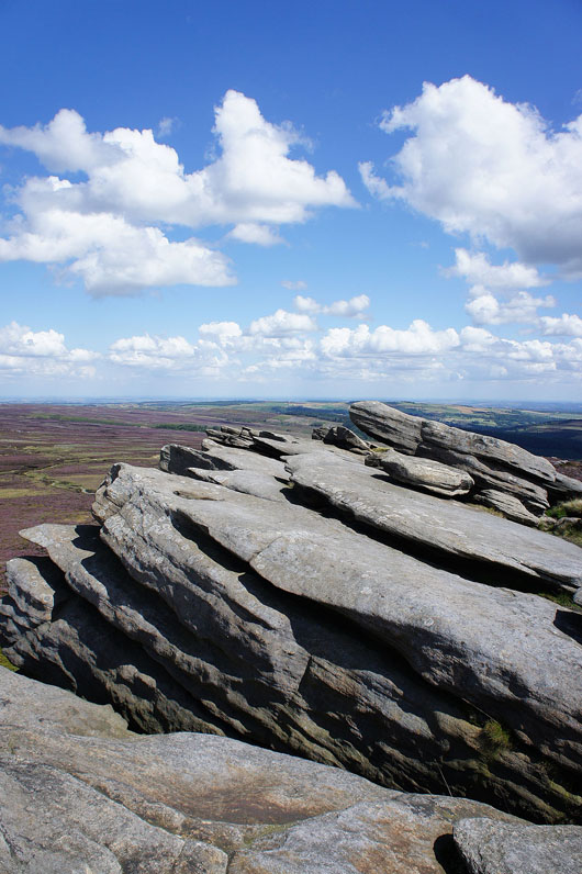
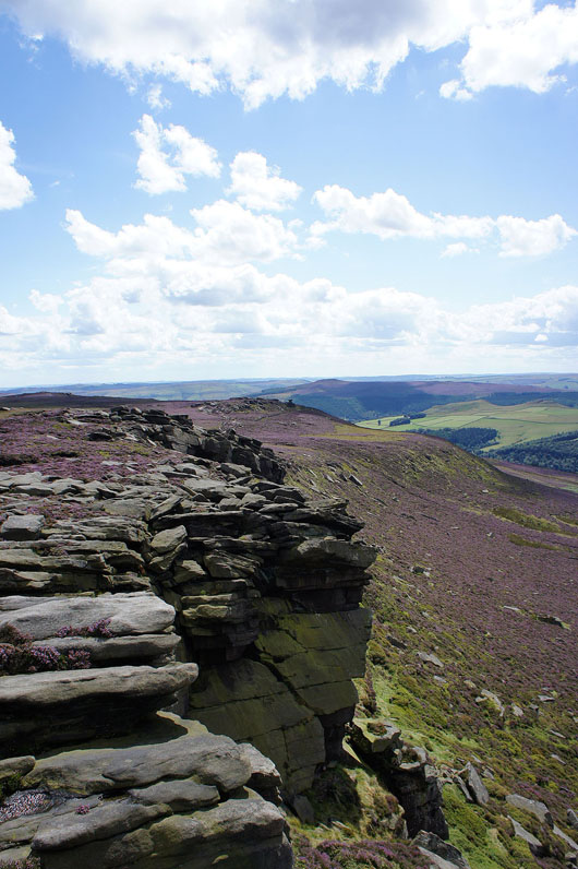
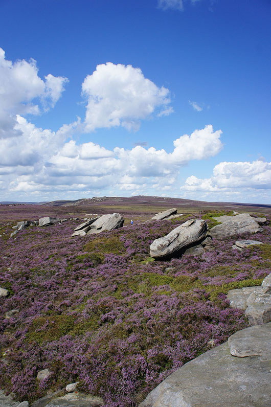
The gritstone outcrops of Back Tor are great fun for clambering across
Onwards to the next craggy outcrop of Dovestone Tor
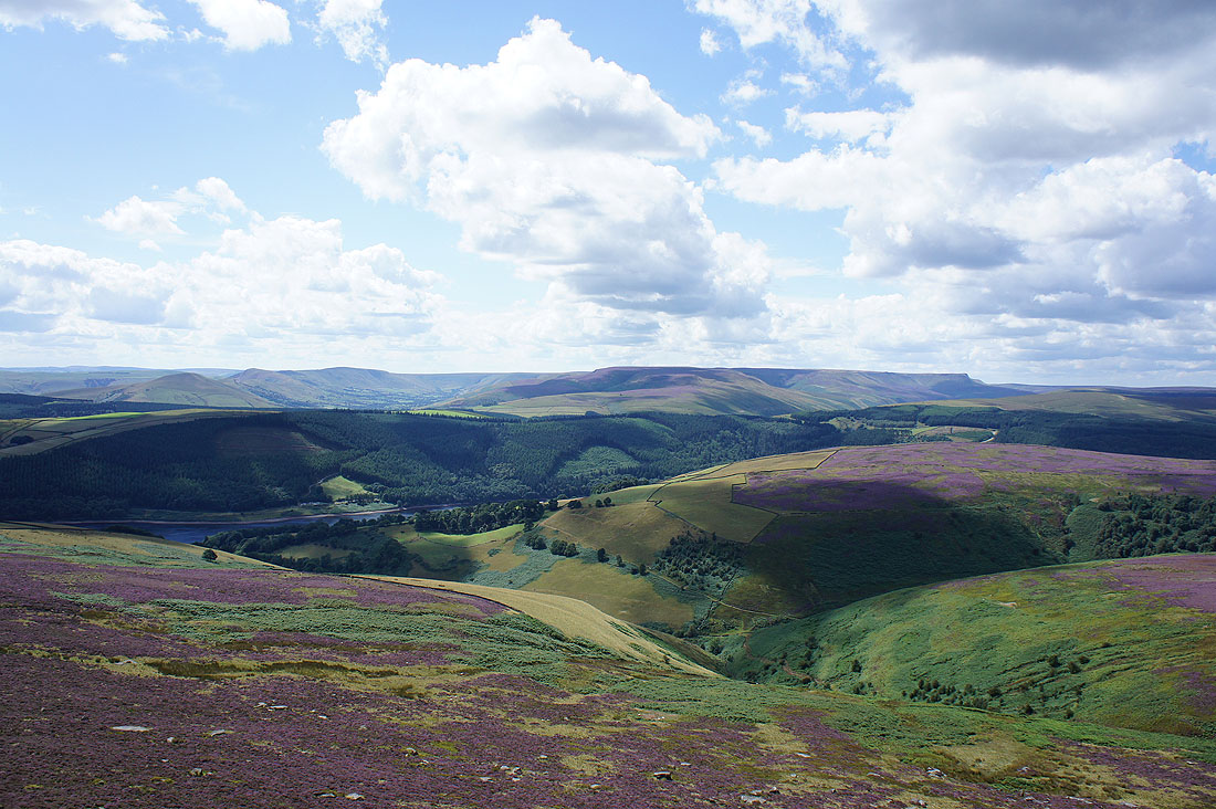
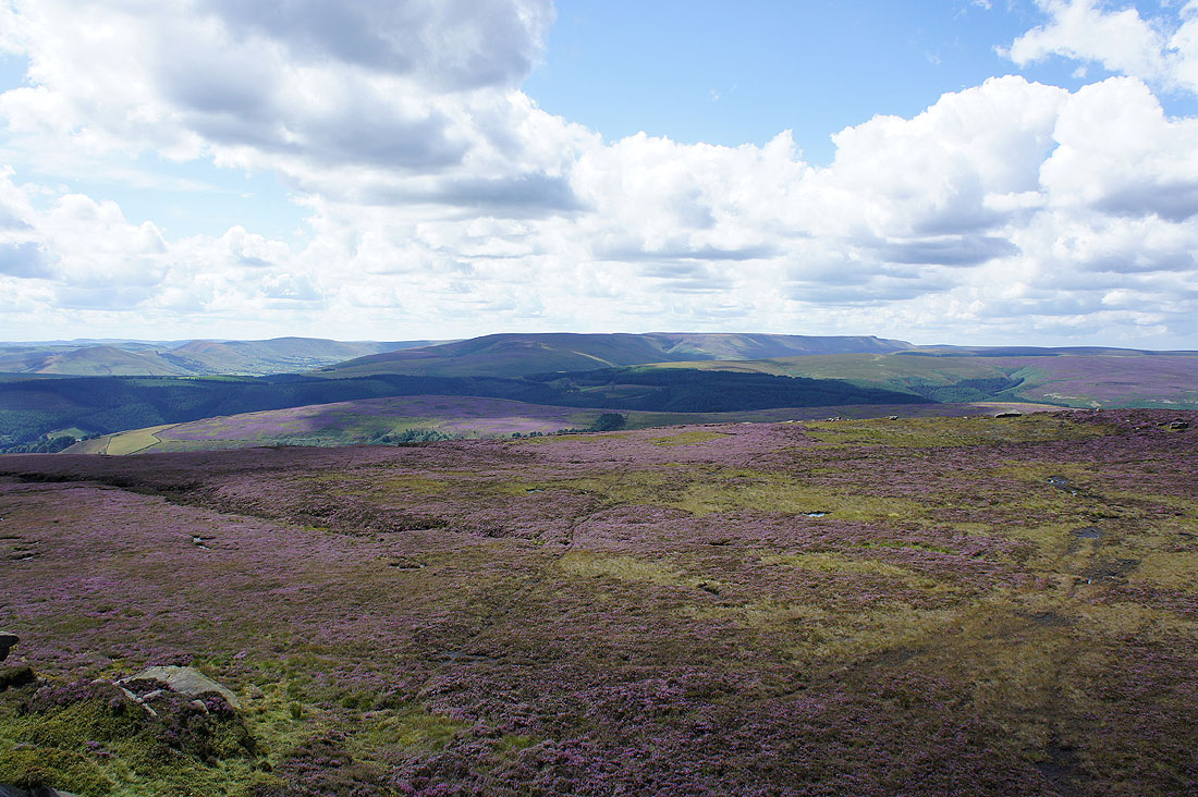
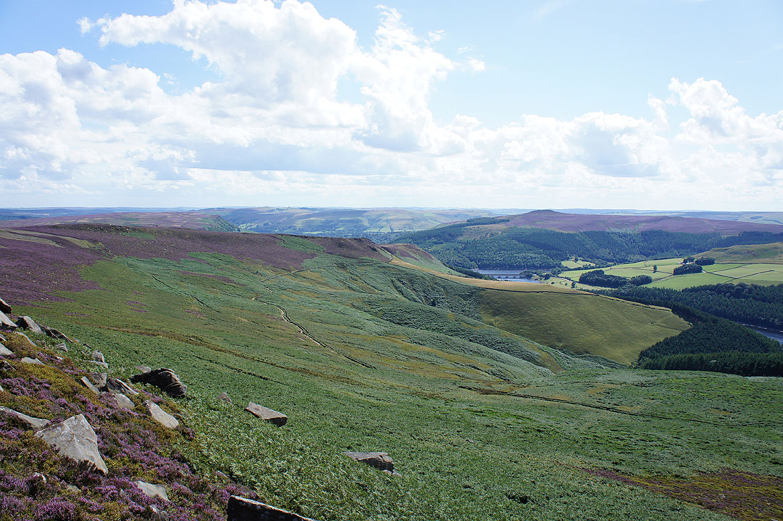
The Great Ridge, the Vale of Edale and Kinder Scout in the distance. The valley of Dovestone Clough below.
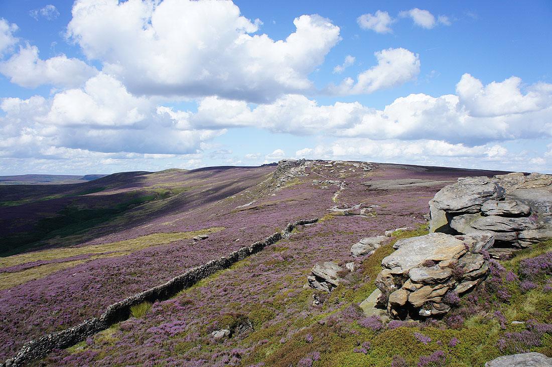
On Dovestone Tor looking south along Derwent Edge
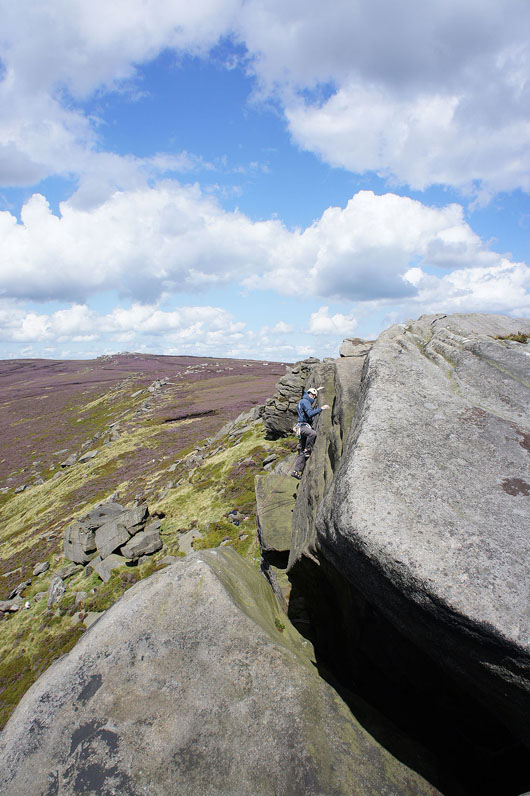
The clank of metal alerted me to the presence of someone enjoying a bit of climbing
Looking back at Dovestone Tor as I reach the location of..
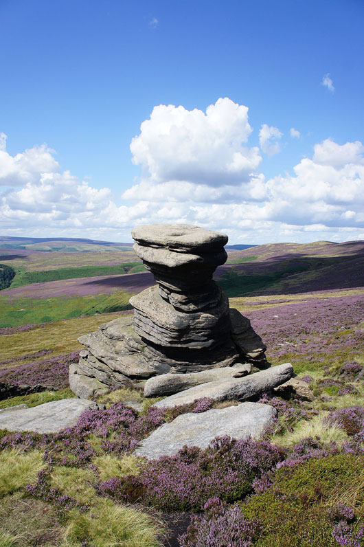
..the Salt Cellar
Bleaklow in the distance from White Tor. Great colours up on the moors today. The purple of the heather, the bright green of bracken and blue skies.
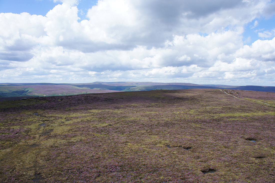
The walk along Derwent Edge comes to an end at Whinstone Lee Tor. The path back can be seen in the bracken below.
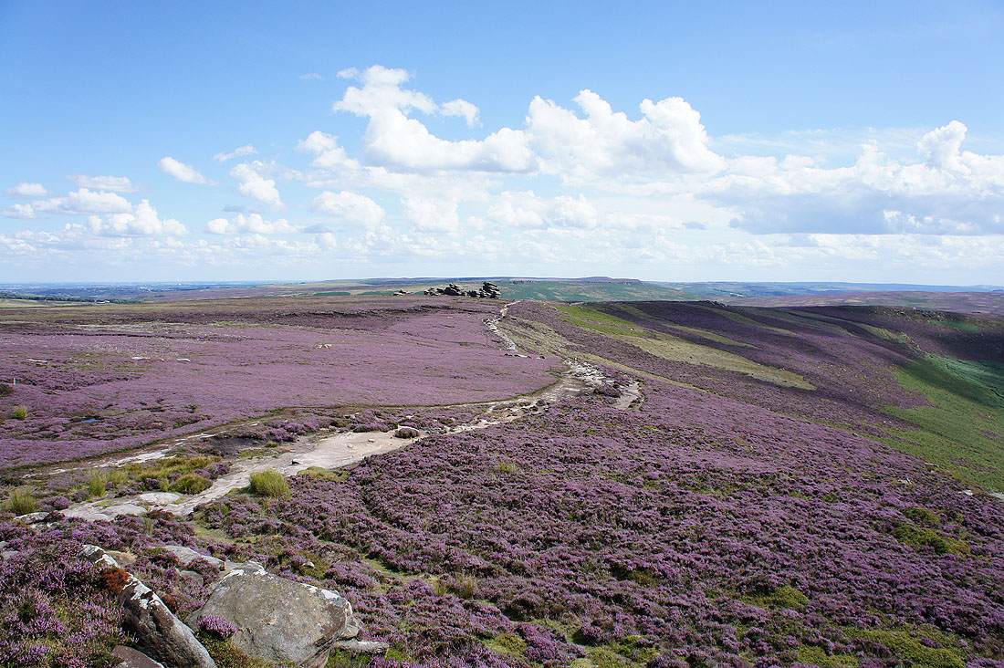
The next prominent landmark comes into view
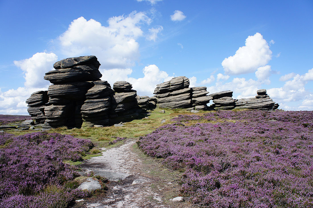
The Wheel Stones
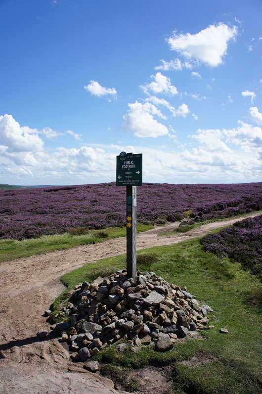
This Peak and Northern Footpaths Society sign marks a crossroads of paths. If I wanted to shorten my walk I could turn right here.
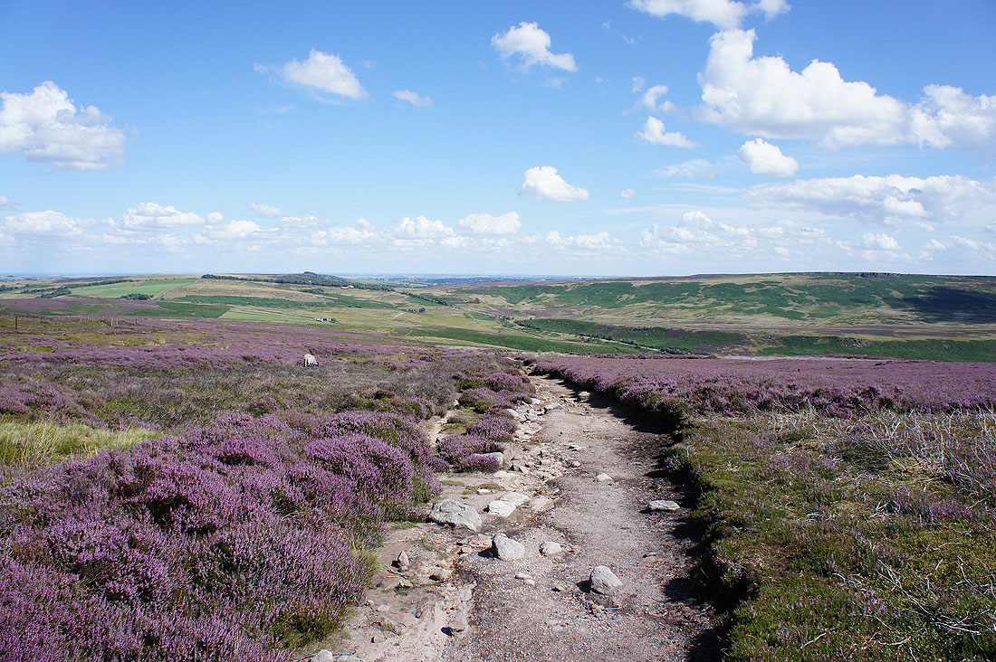
Looking east towards Sheffield
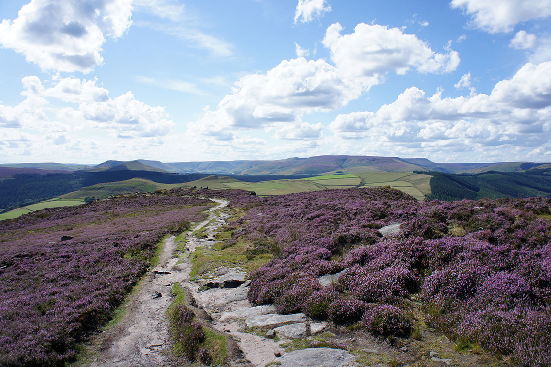
The Great Ridge, the Vale of Edale and Kinder Scout in front of me as I approach the top of Whinstone Lee Tor
There's a surprsingly good view to be had from here. Stanage Edge and Bamford Moor.
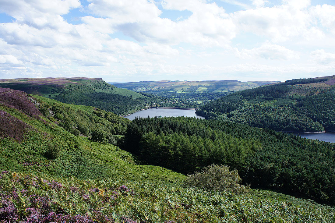
The Ladybower dam below Bamford Edge
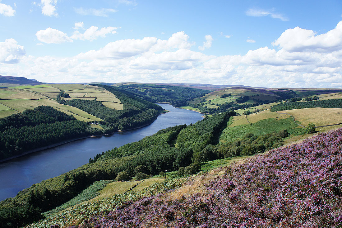
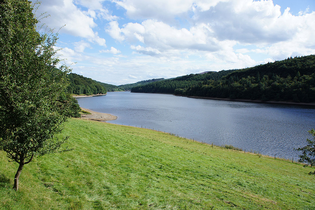
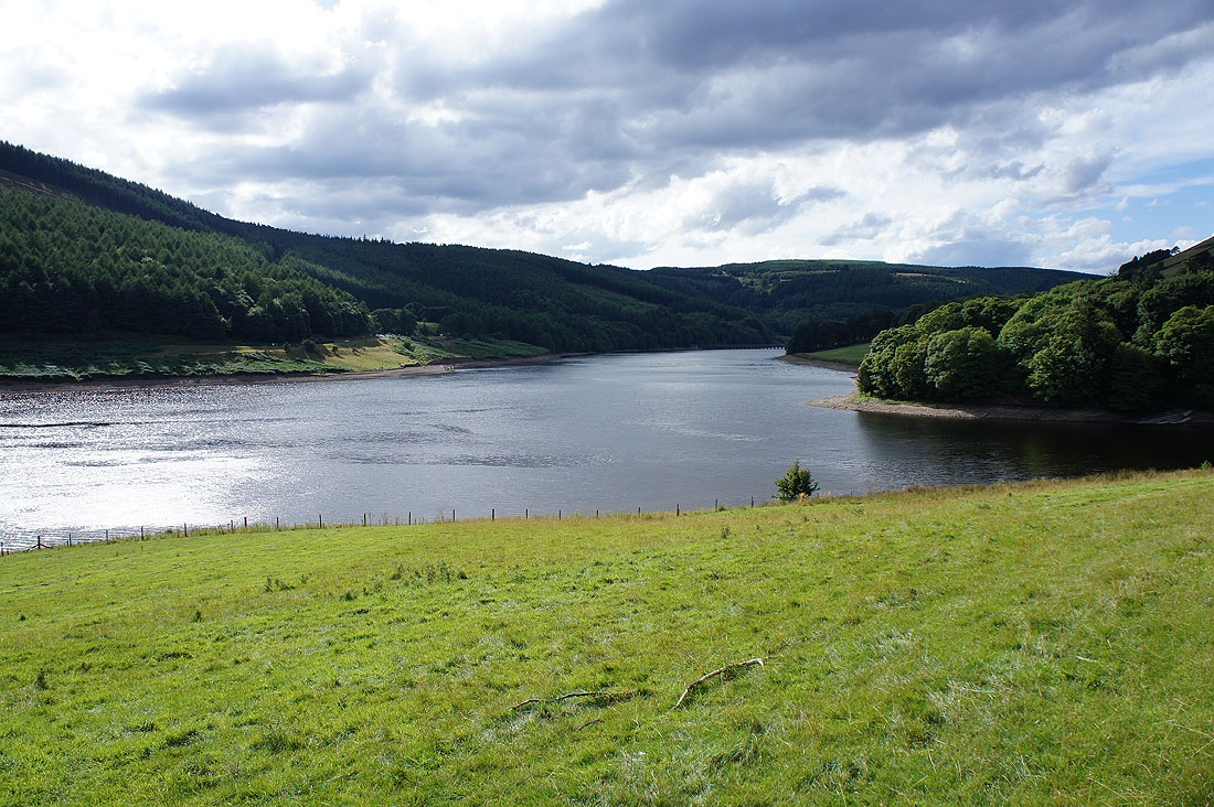
The Ladybower Reservoir
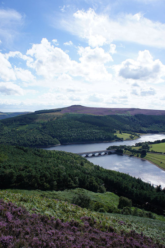
and finally Win Hill and the Ashopton Viaduct
|
|
On the bridleway down
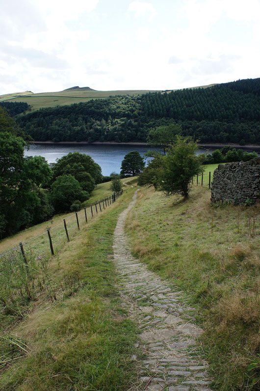
By the banks of the Ladybower Reservoir..
A walk on the road through Derwent will take me back to the Fairholmes car park