9th August 2021 - Barden Fell
Walk Details
Distance walked: 13.9 miles
Total ascent: 1720 ft
OS map used: 297 - Lower Wharfedale & Washburn Valley and 298 - Nidderdale
Time taken: 7 hrs
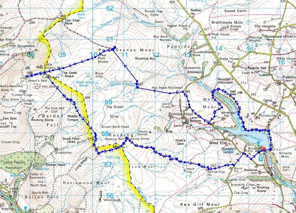
Route description: Car park by Reservoir Road-Reservoir Road-Thruscross Reservoir-Roundell's Allotment-Whit Moor-Whit Moor Road-Hoodstorth Lane-Pock Stones Moor-Great Pock Stones-Lord's Seat-Simon's Seat-Lord's Seat-Rocking Moor-North Moor Road-West End Lane-Reservoir Road-Car park by Reservoir Road
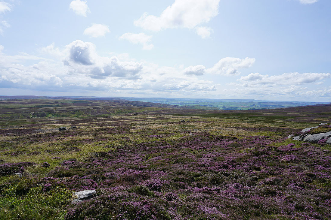
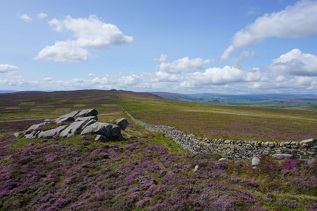
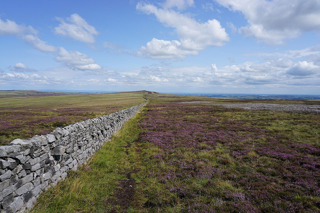
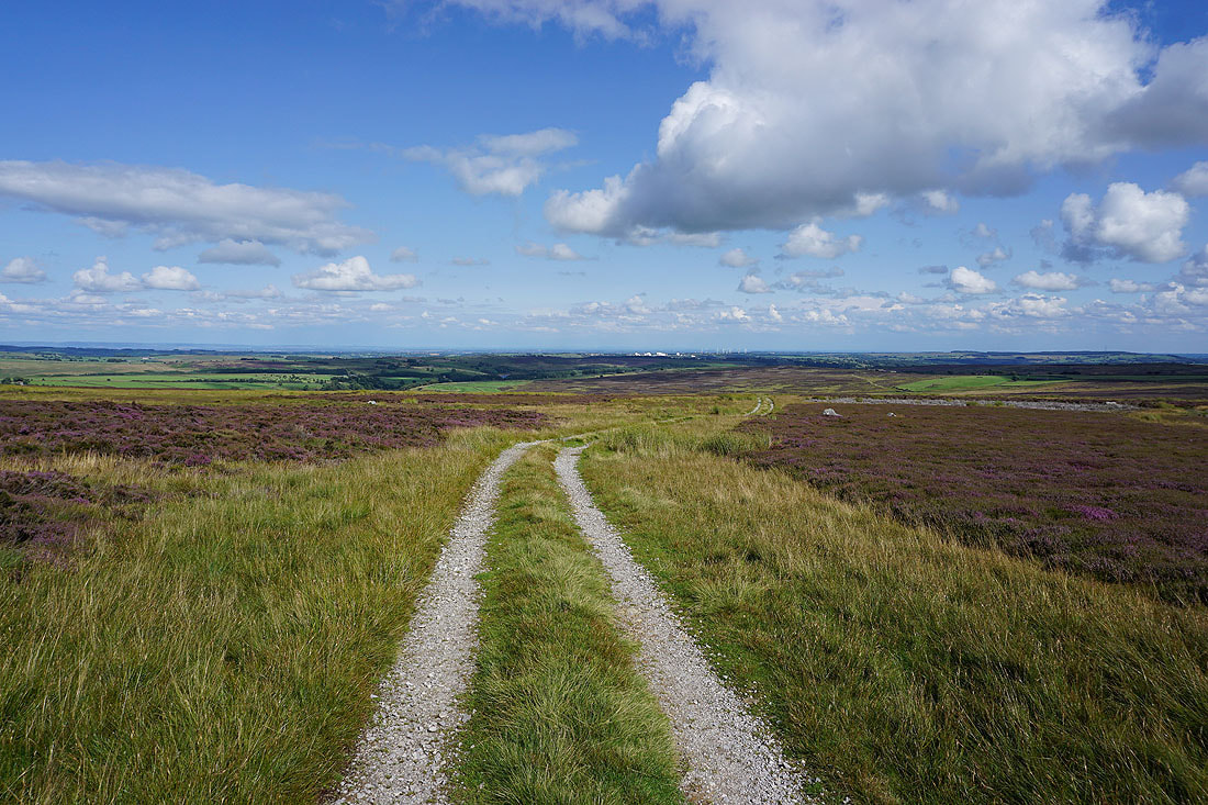
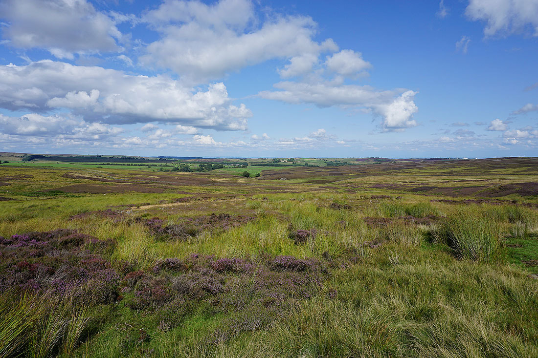
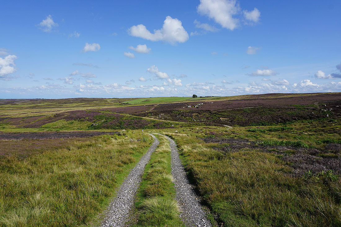
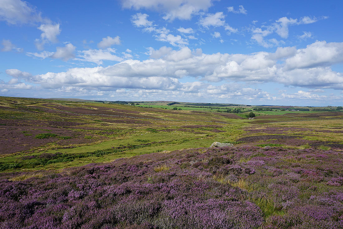
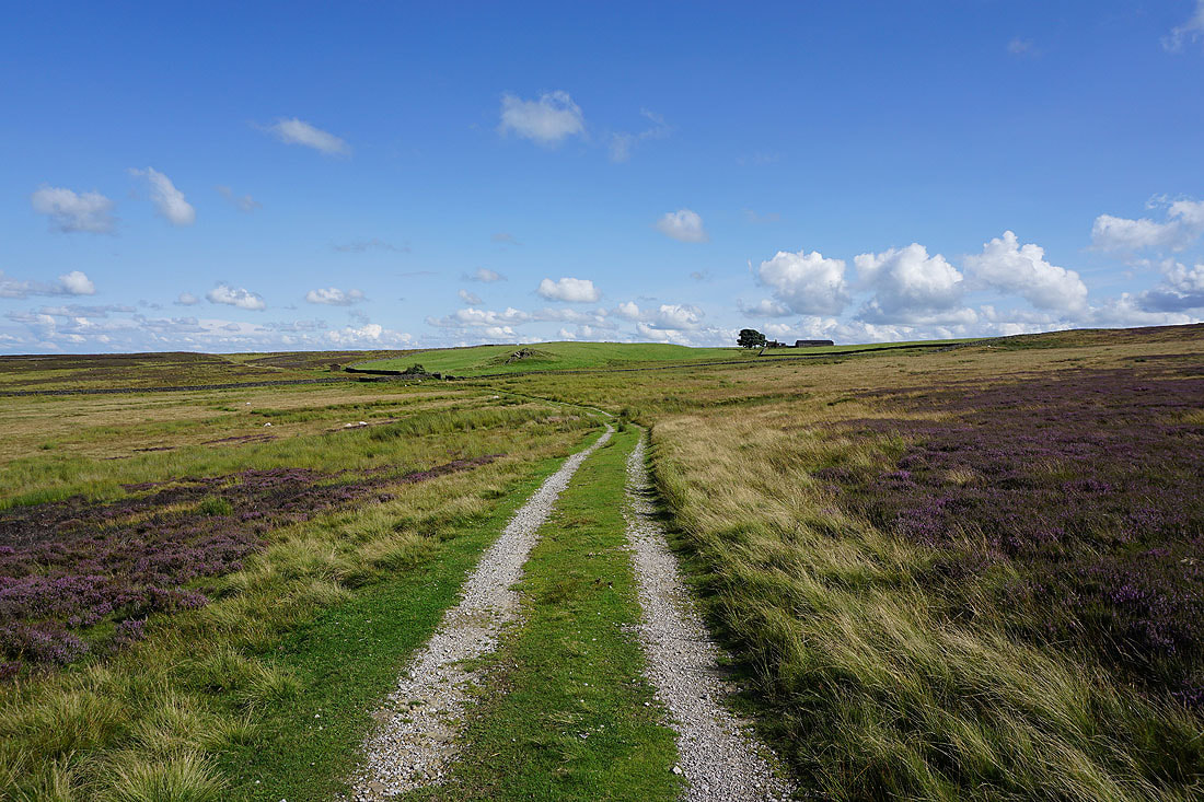
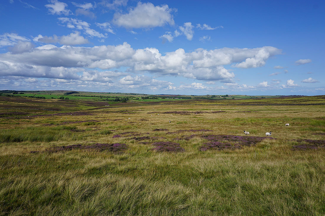
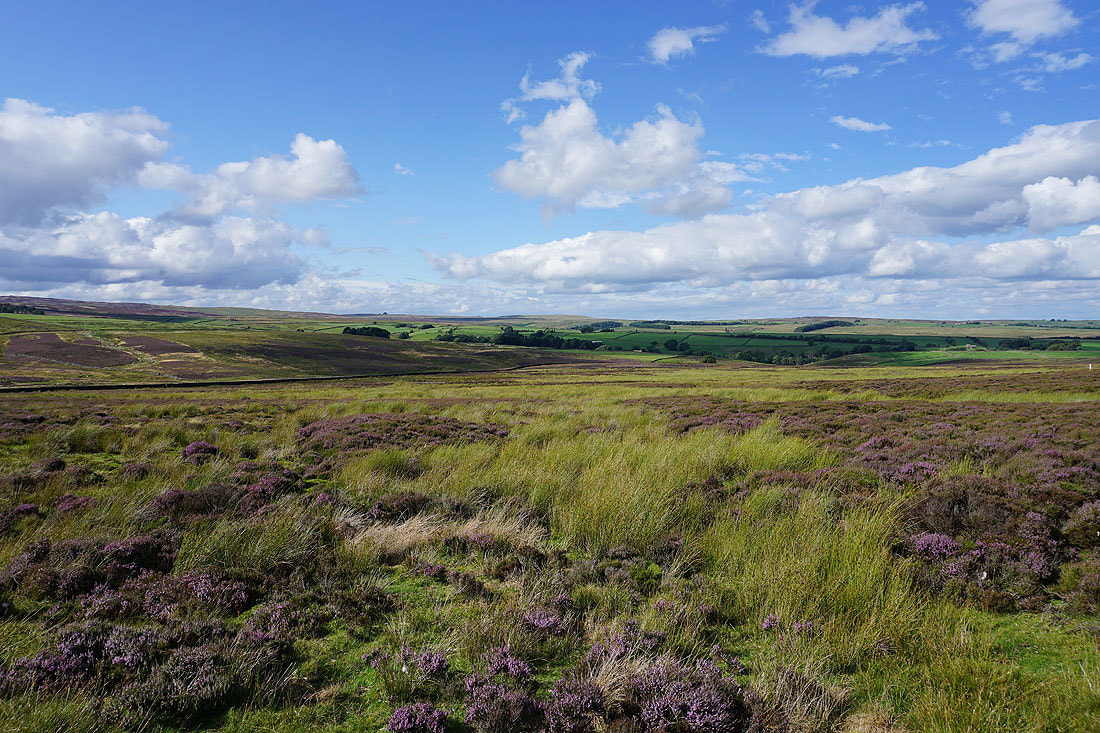
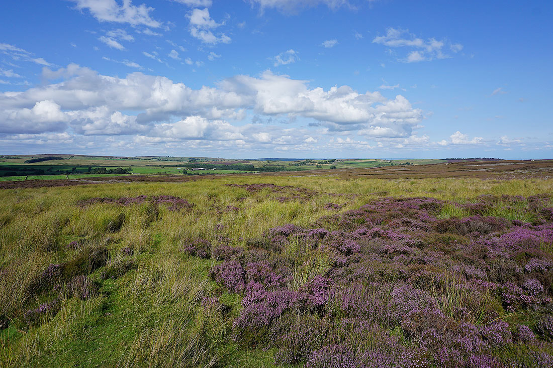
It's that time of year when the heather covered moors put on a fine display of colour as they become carpets of purple. My walk in Bronte Country last weekend gave me a preview of what was to come as the heather was starting to come into bloom. That pretty much decided where I'd be planning my next few walks to be, and I'm spoilt for choice when it comes to locations to choose from. There are my local South Pennines moors and not too far away there are moors in the Yorkshire Dales that fit the bill, which my destination for today does. I've done many walks on Barden Fell, visiting its high point of Simon's Seat on most occasions, but I still managed to come up with a new route by starting from Thruscross Reservoir. This enabled me to explore to explore a bit of the Washburn Valley and the eastern half of Barden Fell. I had a lovely late summer's day for enjoying this walk, with blue skies and sunny spells for making the heather look at its best, and fortunately I'd booked today off work, because the weather during the weekend really wasn't up to much.
From the car park above Thruscross Reservoir I walked along the road across its dam, then round to the left and uphill until I reached a footpath on the left. I then followed this path west and north by the reservoir, up to and across the moorland of Roundell's Allotment, down to and across the footbridge over the River Washburn, and then from here I took a concessionary footpath across Whit Moor to the access road for Whitmoor Farm and out to Whit Moor Road. After walking north along Whit Moor Road and Hoodstorth Lane I reached a track on the left at a right hand bend. I took this track and followed it uphill to its high point on Pock Stones Moor, where I left it for the gritstone outcrops of Little Pock Stones on the right, which was where I stopped for lunch. After this break I made my way back to the track, crossed it, and then followed a path by the south side of the wall west to Great Pock Stones, and then on to Lord's Seat, where I went through a gate and took the path west to reach Simon's Seat. Once I'd taken in the view I returned to Lord's Seat, took in the view from there, then took the flagged path south across Barden Fell to Little Agill Head, where shooter's tracks were followed south onto Rocking Moor to meet a track going east through a gate. I went through the gate and took the track to Rocking Hall, then from there the track southeast across Rocking Moor and down to the edge of access land at Spittle Ings House, where a track was followed out to North Moor Road. A walk north along North Moor Road, east along West End Lane, and then north along Reservoir Road took me back to the car park above Thruscross Reservoir.
Route map
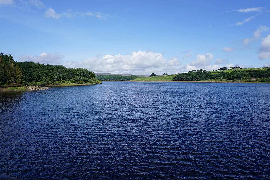
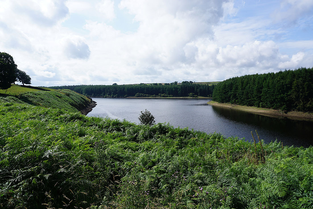
Thruscross Reservoir as I walk along the road across its dam
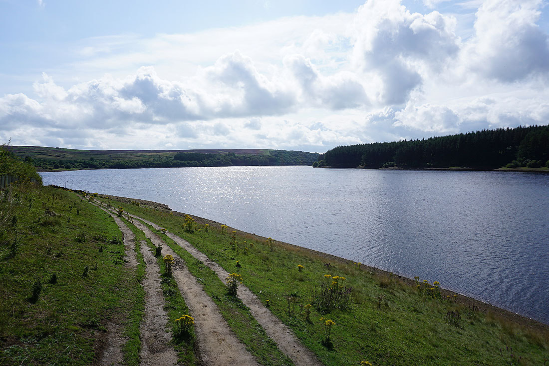
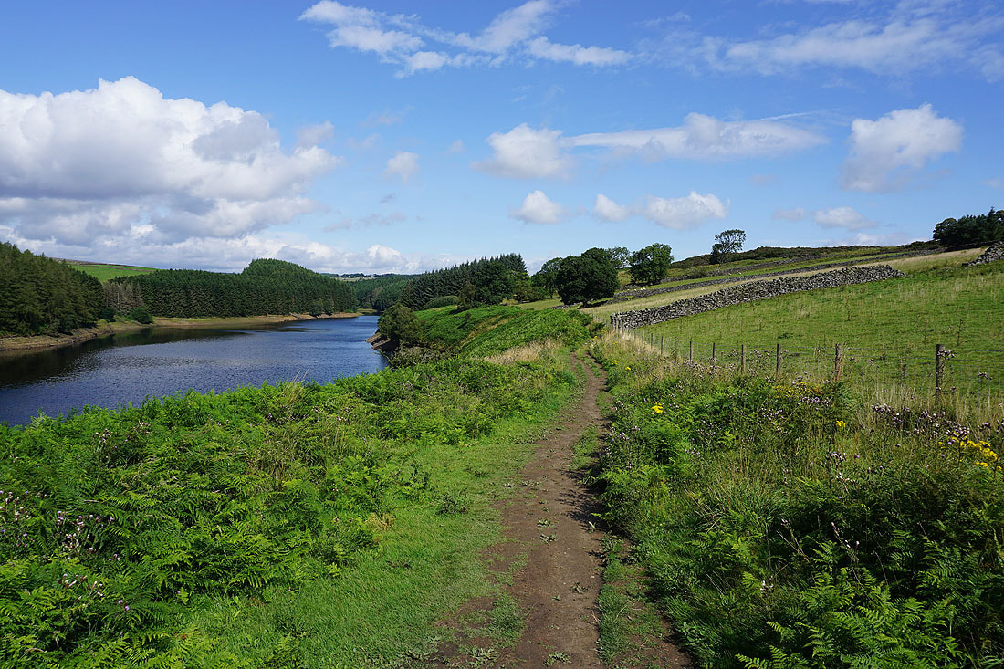
Views of Thruscross Reservoir as I follow the path north by its eastern shore...
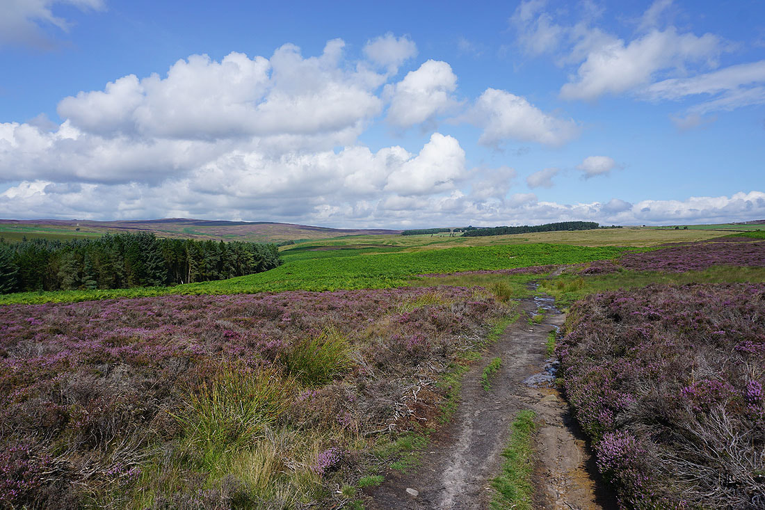
The flowering heather looks great under blue skies as I cross Roundell's Allotment...
Crossing the River Washburn
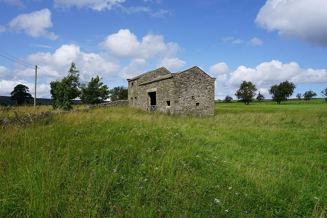
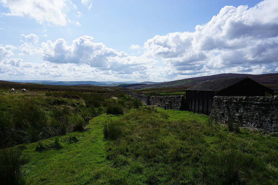
Barn next to Whit Moor Road after walking down the track from Whitmoor Farm
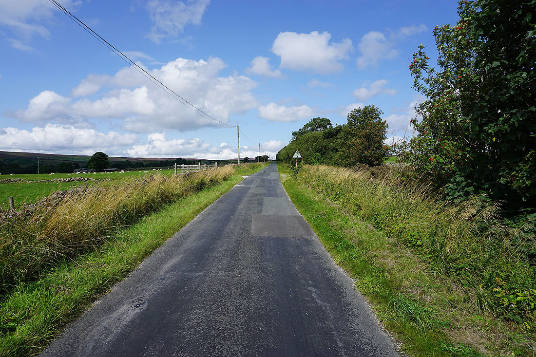
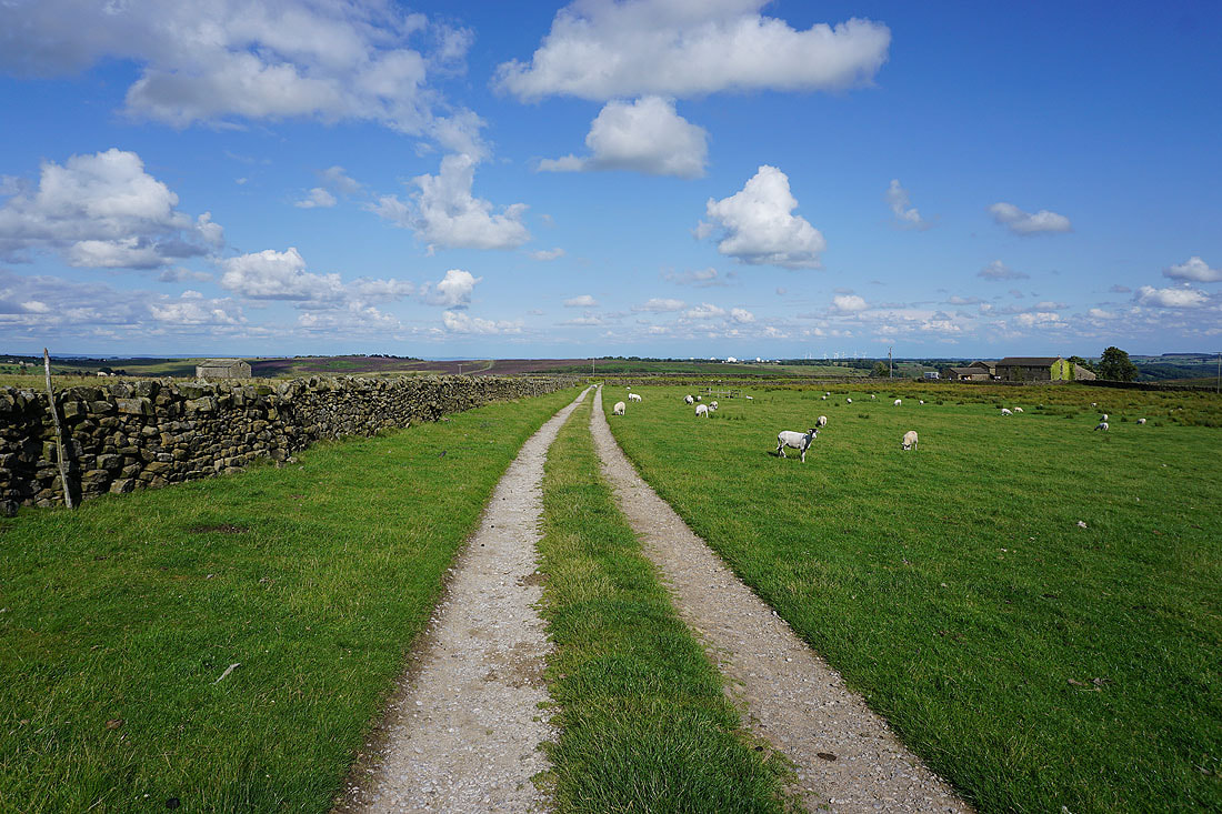
Heading north along Whit Moor Road
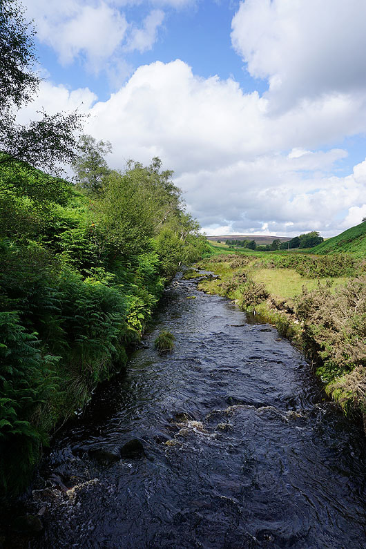
It's a lovely morning in the valley of the River Washburn
Just ahead on the left is the track that will take me up onto Pock Stones Moor
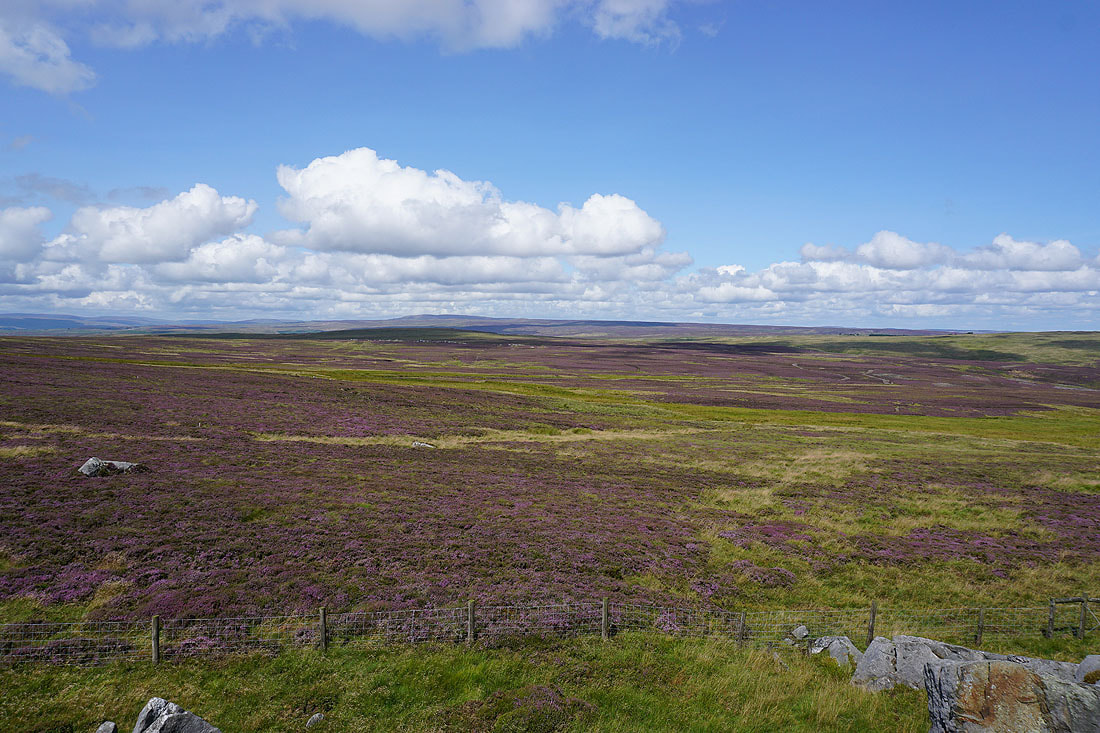
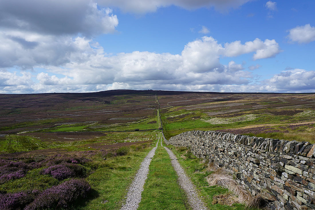
Heather covered moors surround the valley of the infant River Washburn
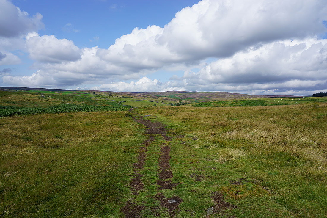
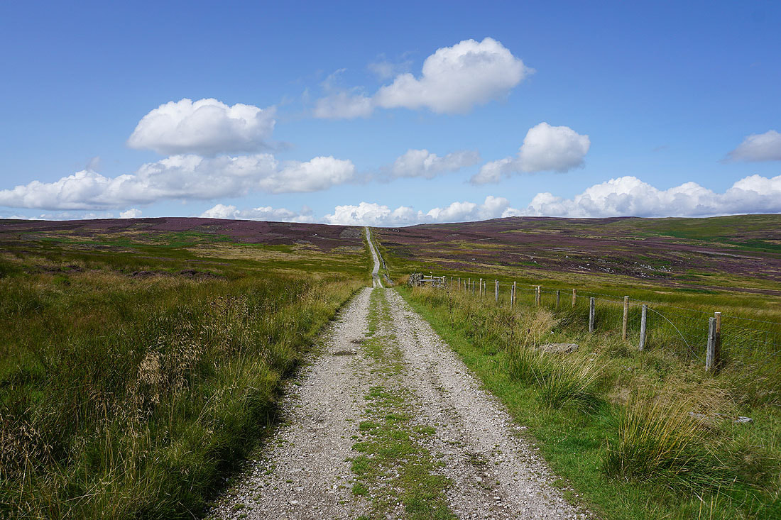
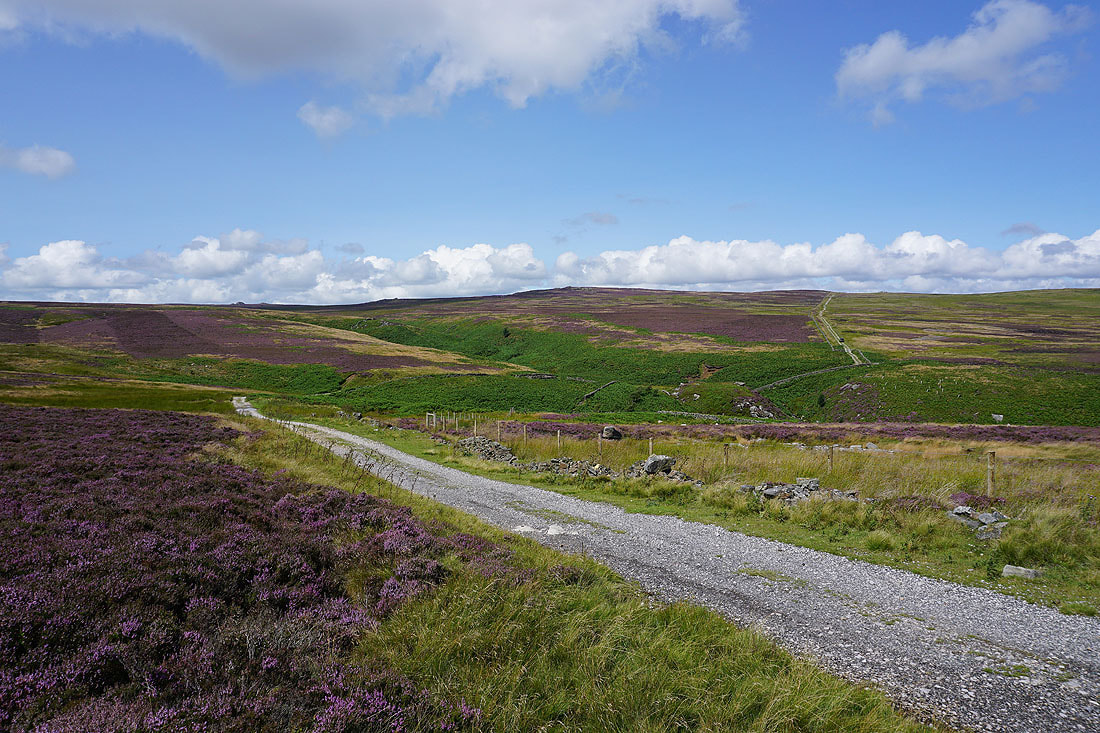
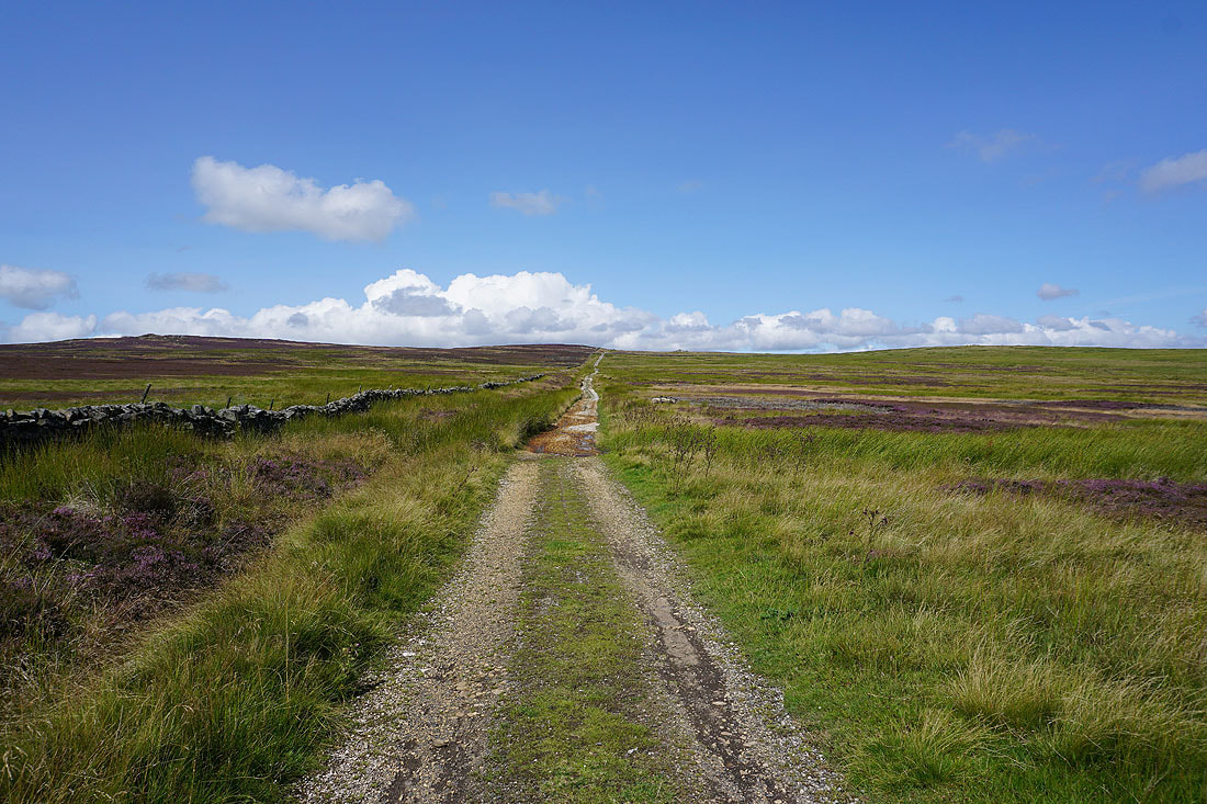
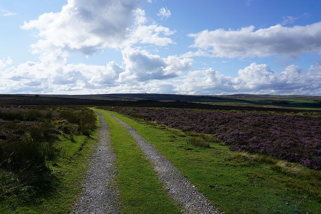
Following the track up onto Pock Stones Moor
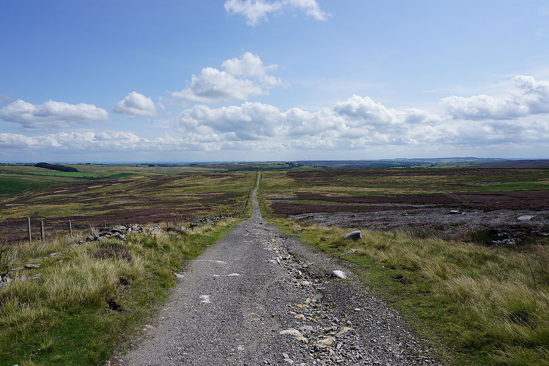
Looking back down the track with Menwith Hill in the distance
The track heads down to and crosses Harden Gill..
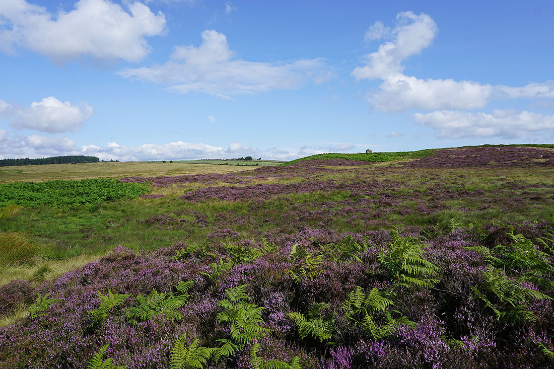
..and then heads for the top of Pock Stones Moor, with Great Pock Stones on the left, and Little Pock Stones on the right
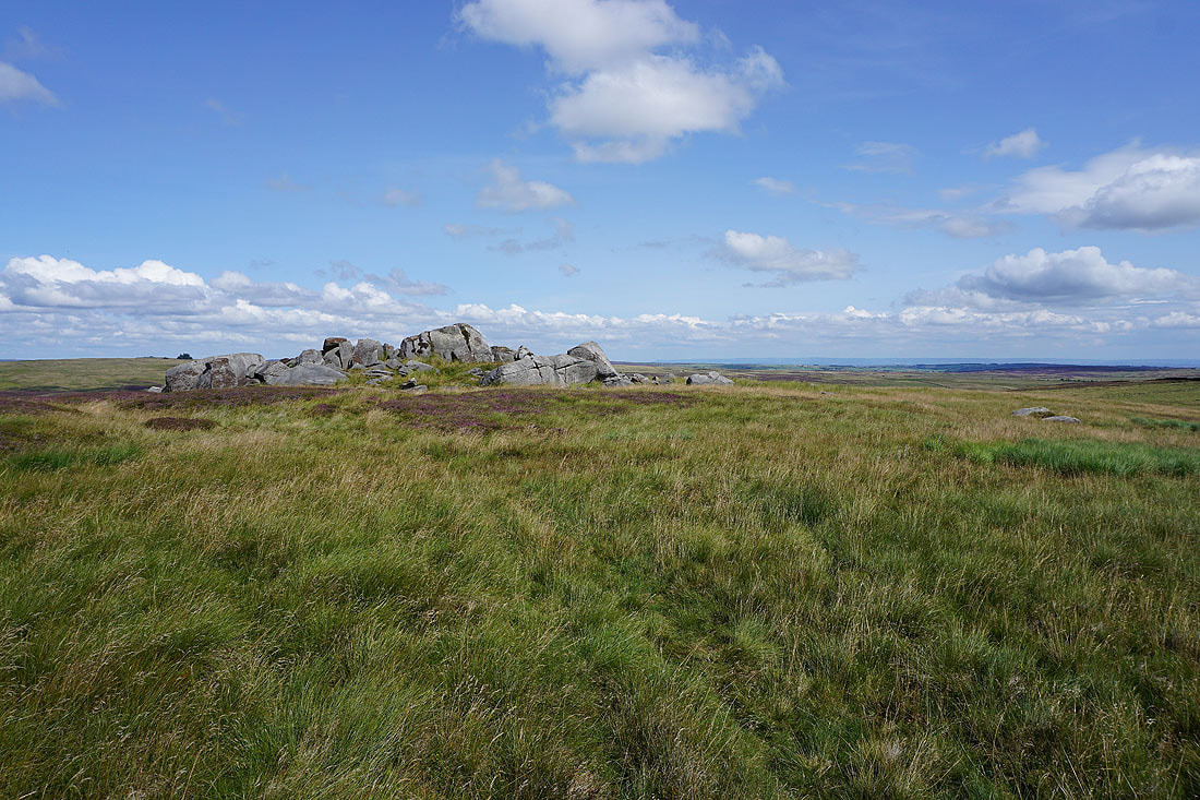
I leave the track for Little Pock Stones. Time to stop for lunch.
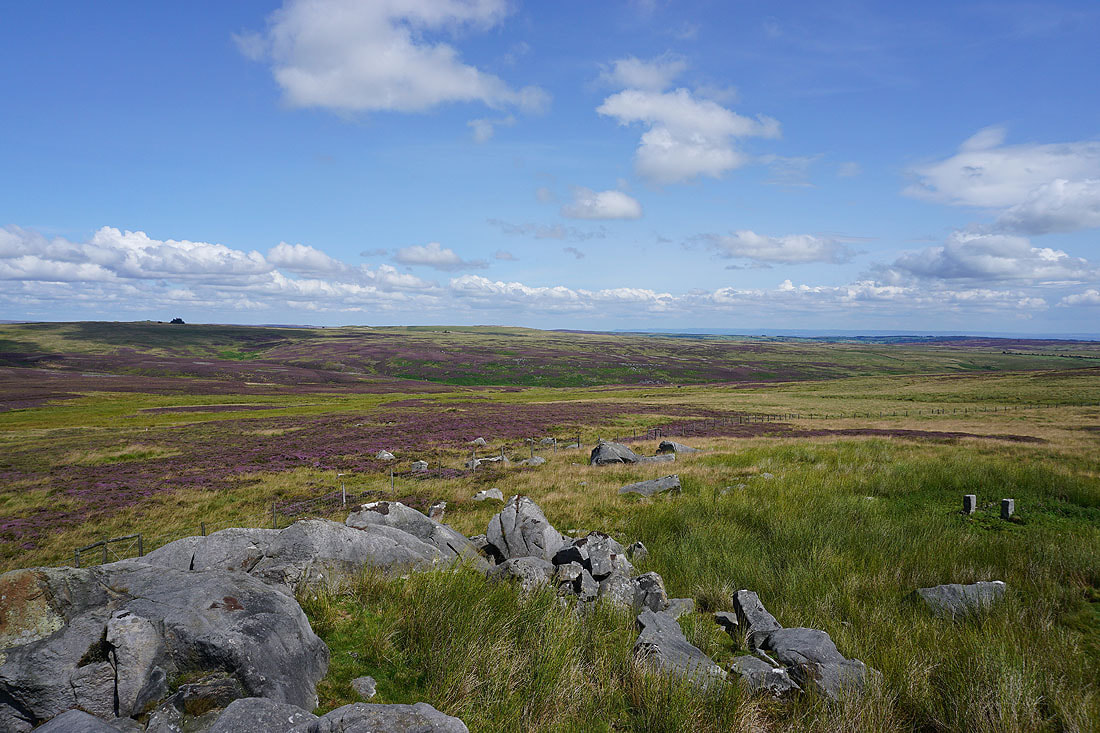
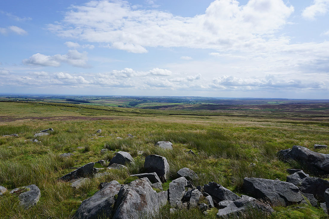
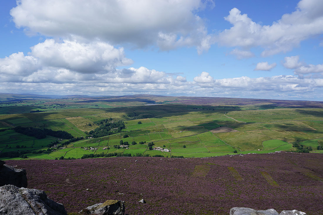
Views from Little Pock Stones. The moorland of Katty White's Allotments to the northeast, where the River Washburn has its source.
Looking down the valley of the River Washburn towards Menwith Hill
To the northwest the moorland gradually rises to a distant Great Whernside
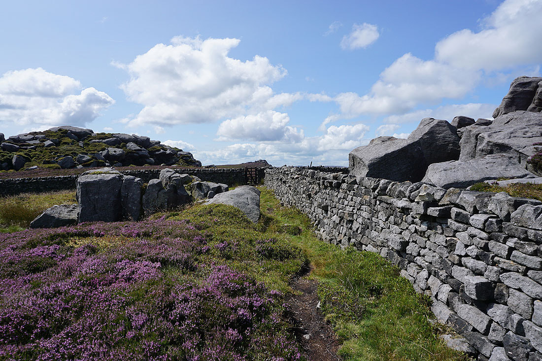
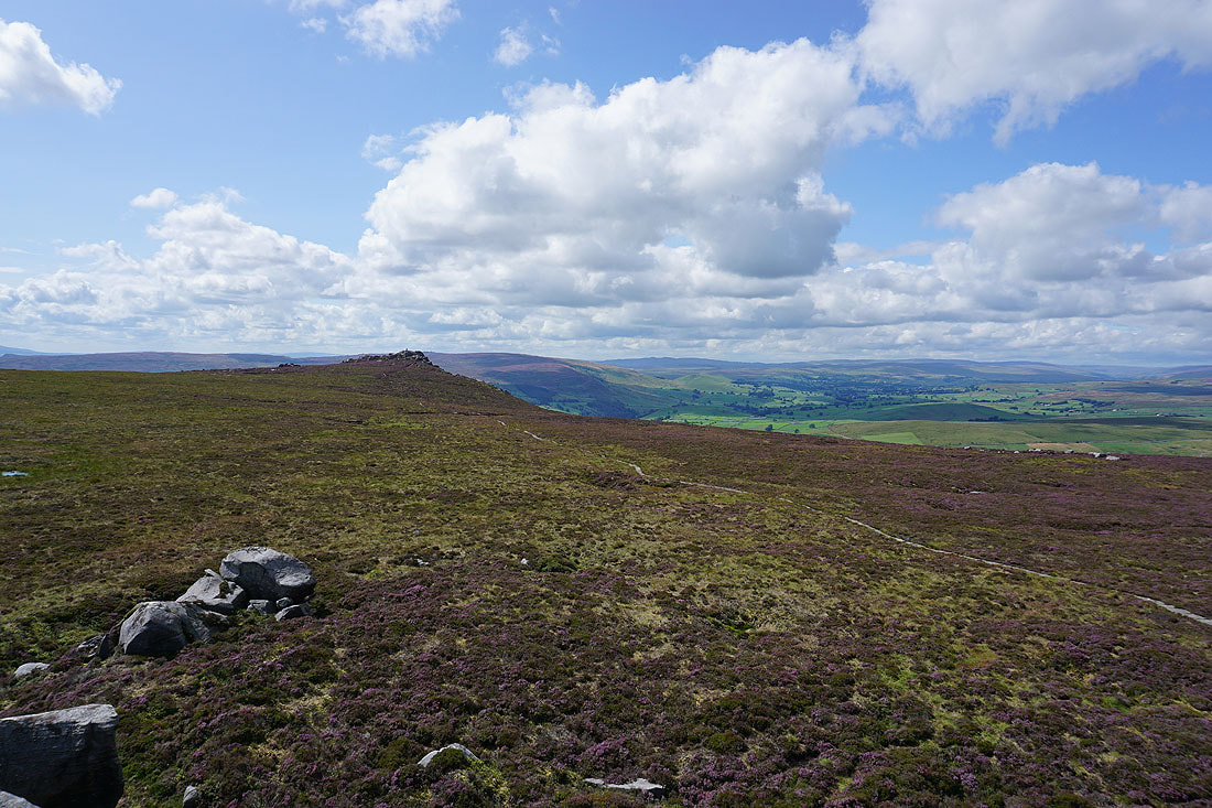
Looking back to Little Pock Stones as I head for Great Pock Stones
On Great Pock Stones. I can make out part of Thruscross Reservoir in the distance as I look down the valley of the River Washburn.
Looking south across the rest of Barden Fell to Beamsley Beacon and Ilkley Moor
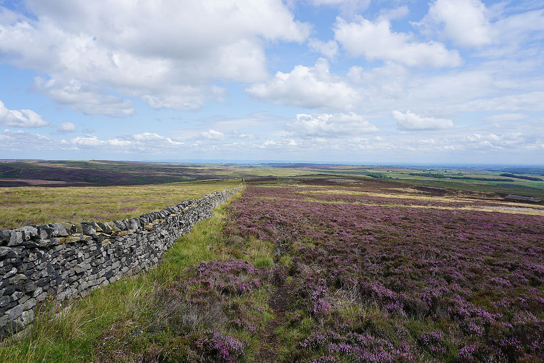
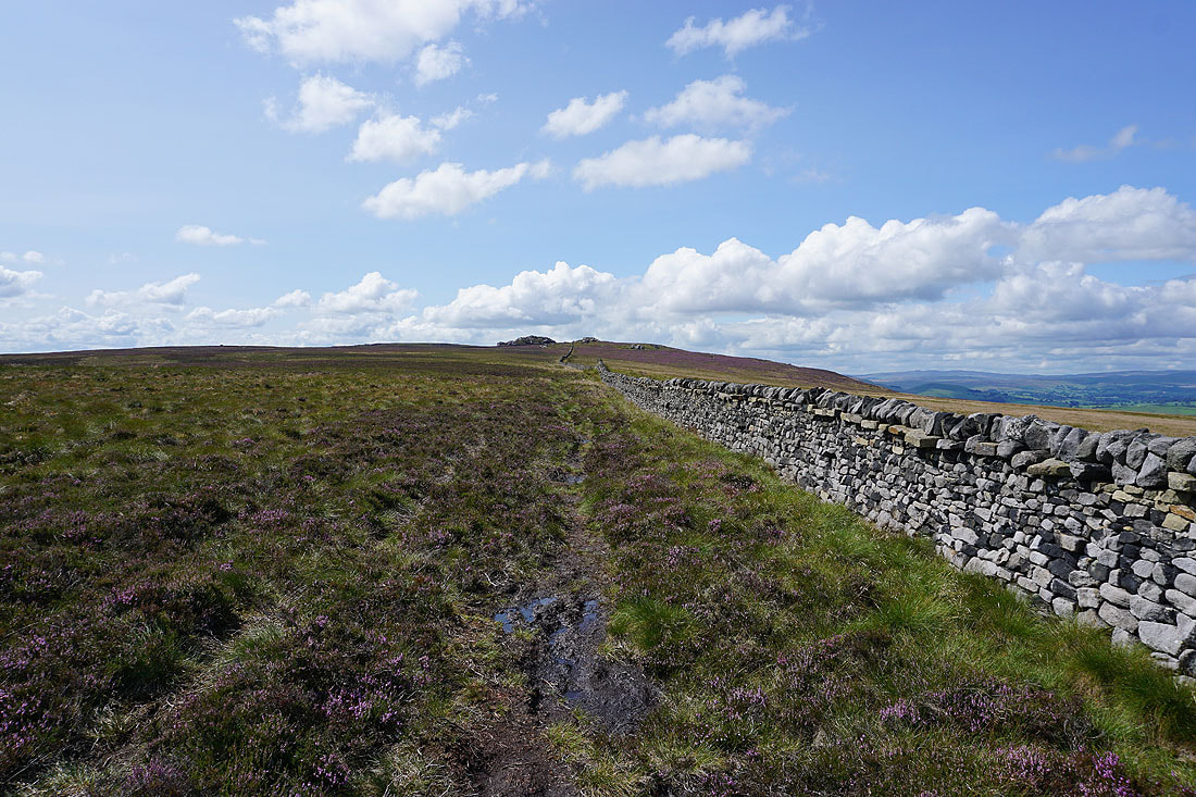
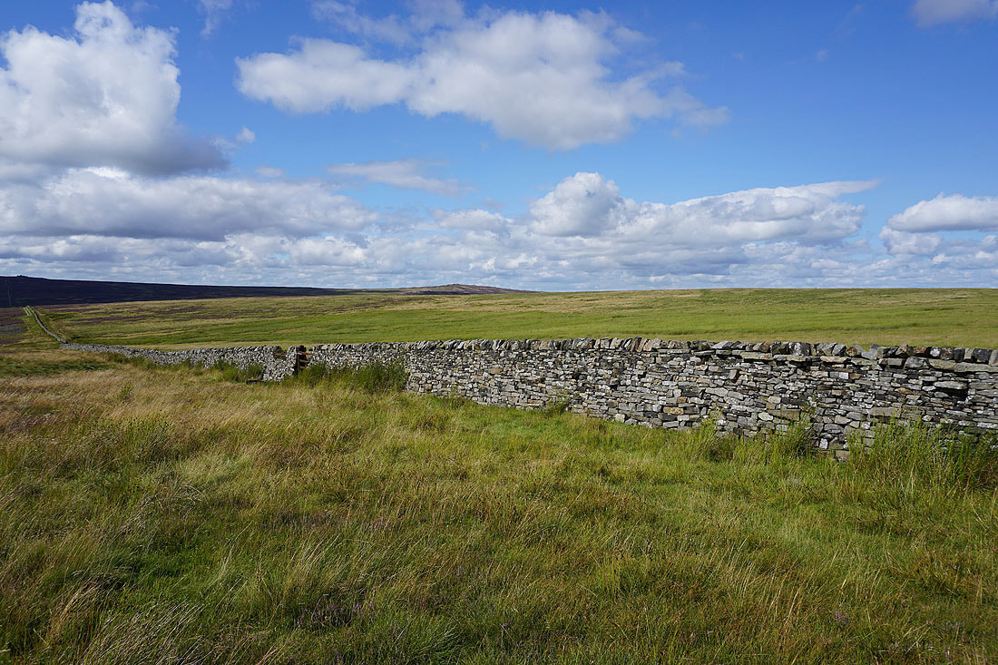
Time to follow the wall from Great Pock Stones to Lord's Seat..
Looking back to Great Pock Stones
At Lord's Seat. I'm going to head for Simon's Seat straight away, and climb these gritstone outcrops when I return.
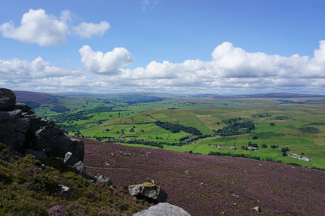
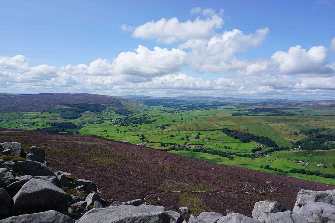
A great view of Wharfedale appears as I reach Simon's Seat
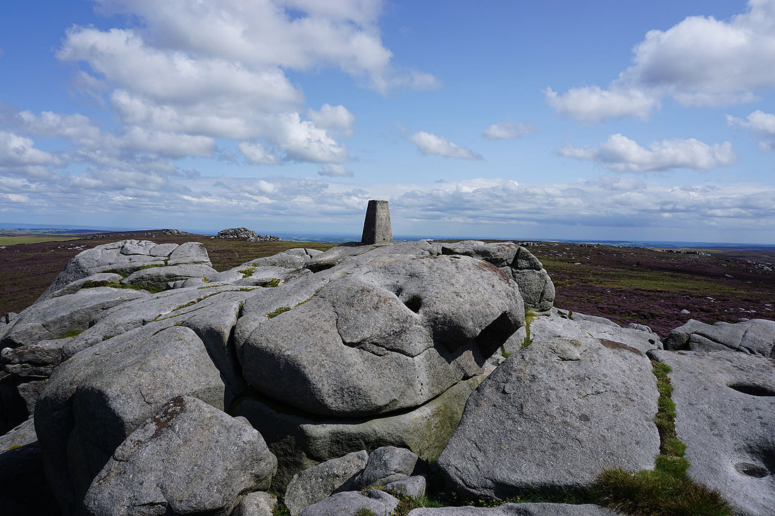
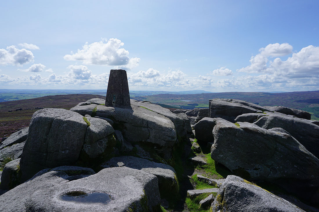
The trig point on Simon's Seat
It's a beautiful late summer's day for taking in the great view from Simon's Seat. Pendle Hill in the distance to the southwest beyond the southern end of Barden Moor.
Looking northwest up Wharfedale, with the heather clad Barden Moor on the left
Just to the east are the gritstone outcrops of Lord's Seat
Looking south down Wharfedale to Beamsley Beacon and Ilkley Moor
The trig point with Pendle Hill in the distance on the right
Looking north across the valley of Blands Beck to Appletreewick Moor and the distant high point of Great Whernside
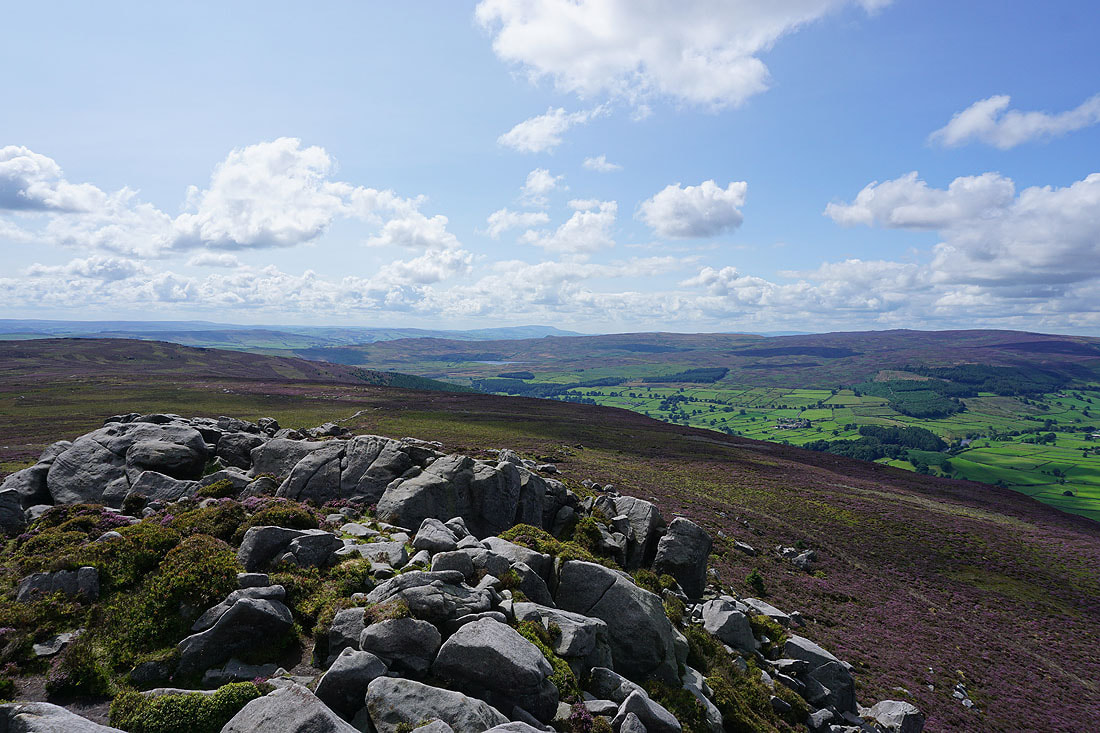
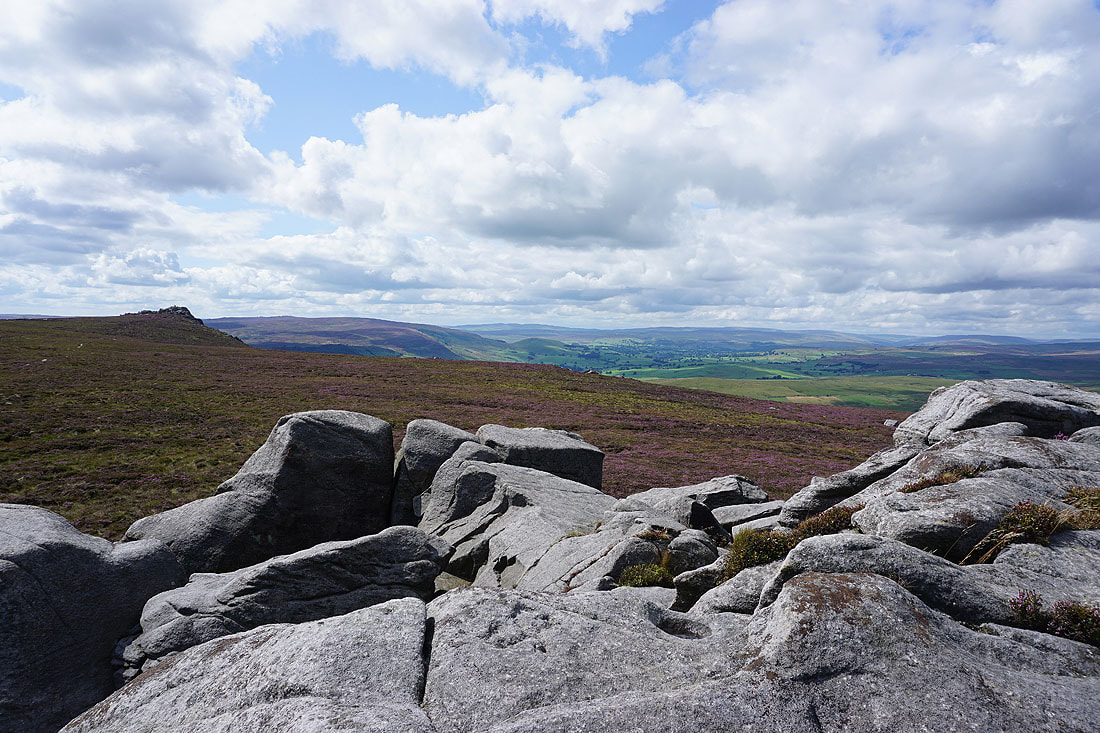
Back at Lord's Seat, and I'm on the western outcrops. A view across to Simon's Seat and Wharfedale..
..and the same from the eastern outcrops
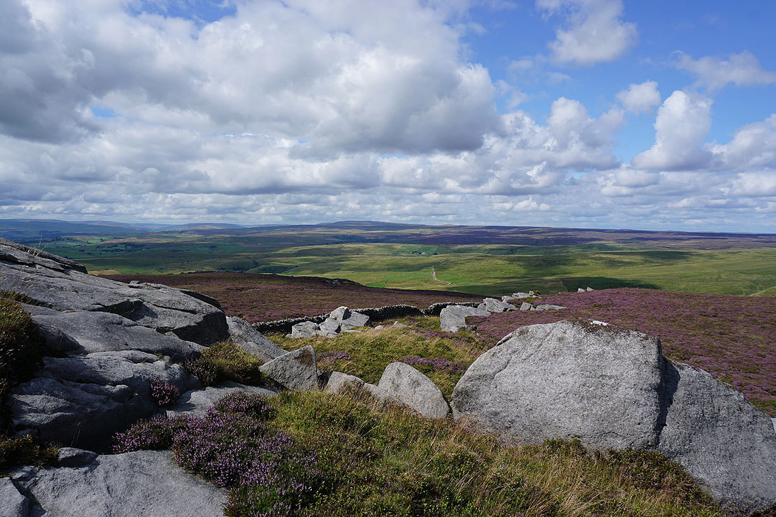
Looking north to Hebden Moor and Appletreewick Moor
Pock Stones Moor to the east
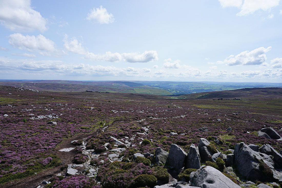
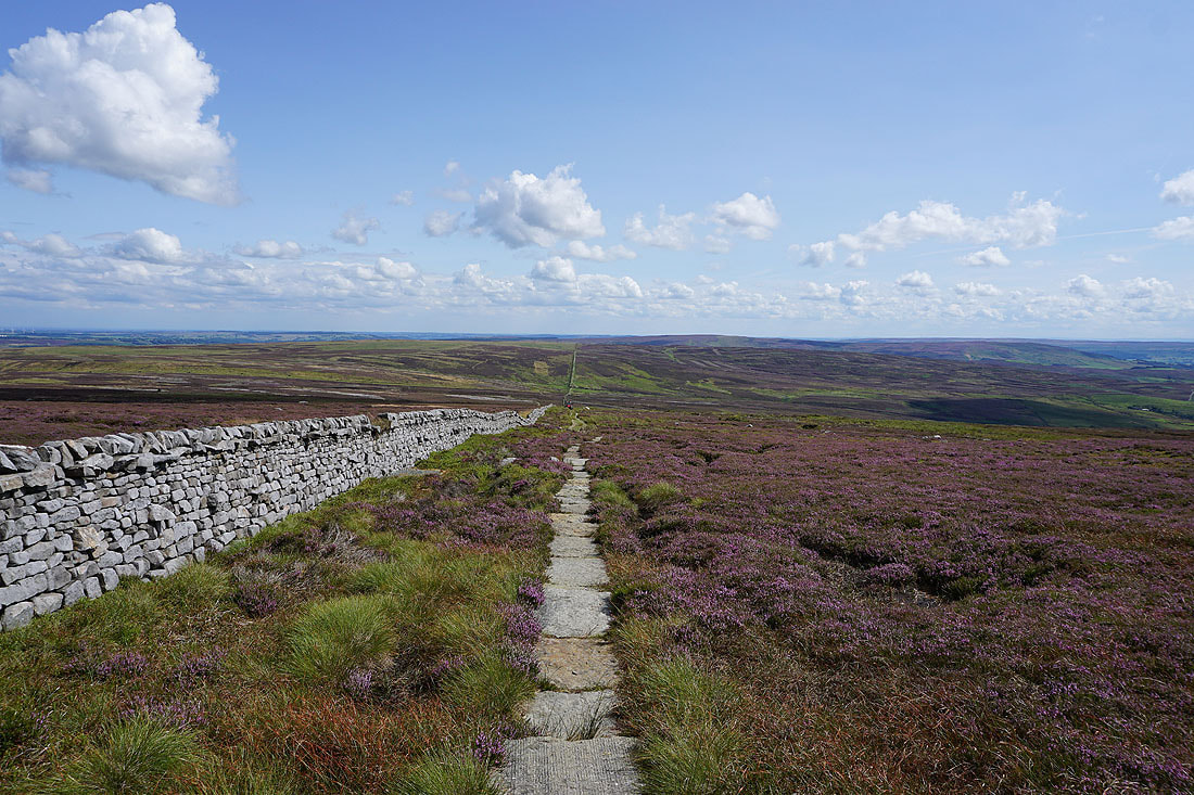
I leave Lord's Seat and follow the flagged path south across Barden Fell
To my right, Addingham High Moor and Draughton Moor on the other side of Wharfedale
Pendle Hill in the distance as I reach the depression of Little Agill Head
Looking back to Lord's Seat
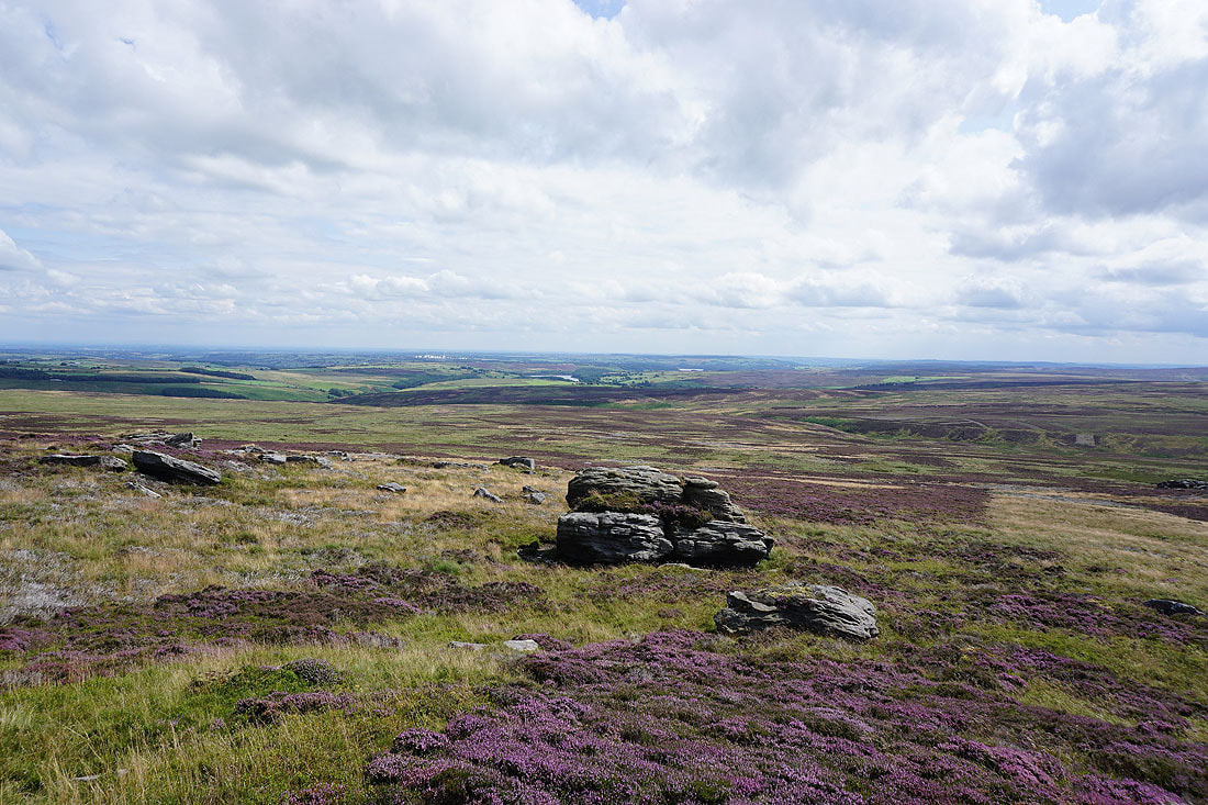
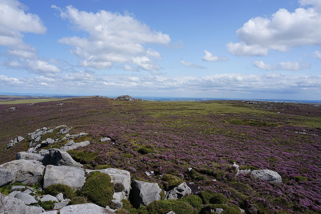
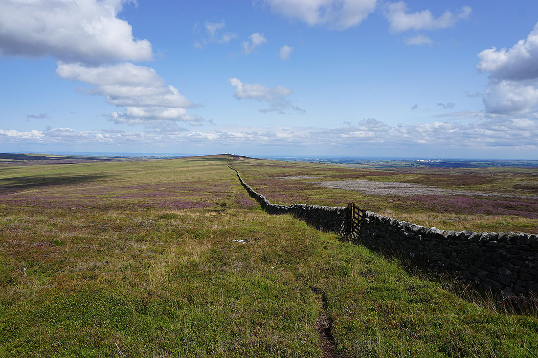
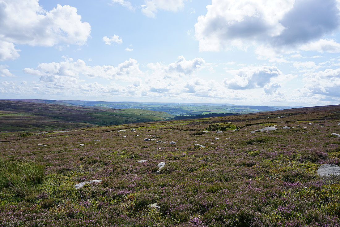
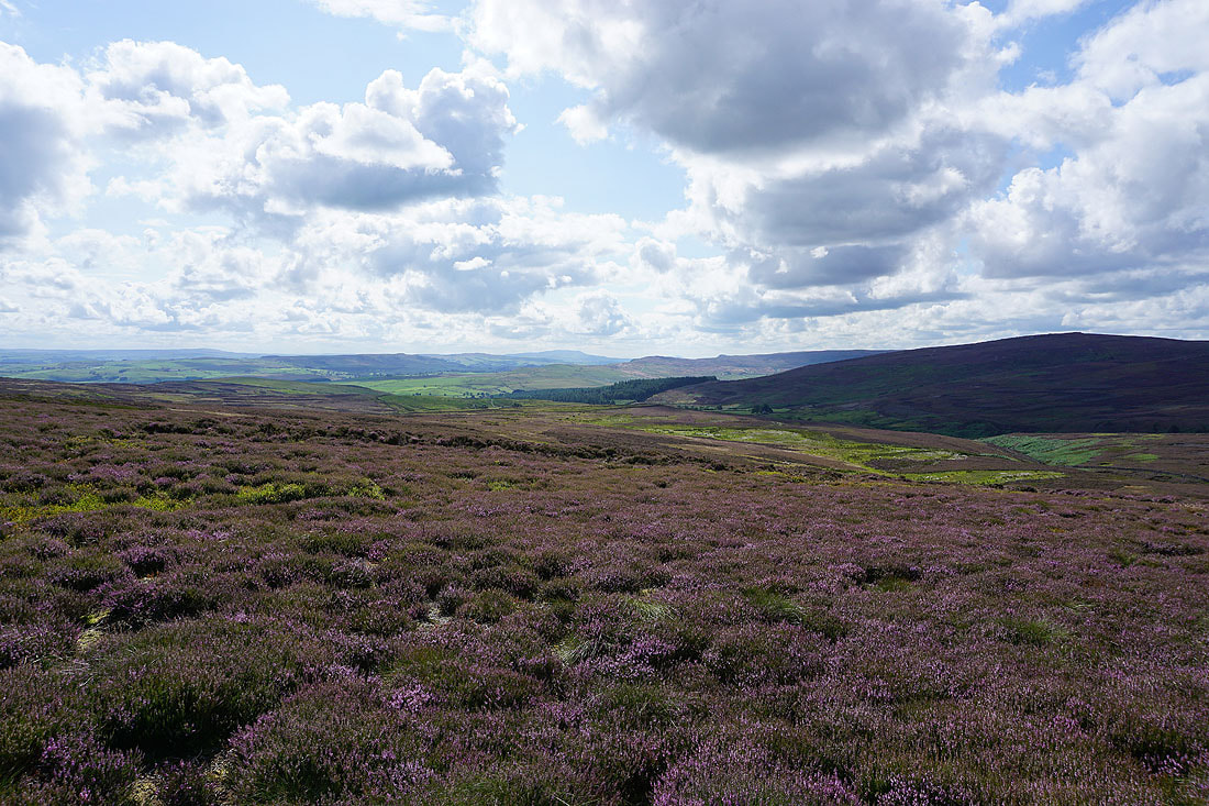
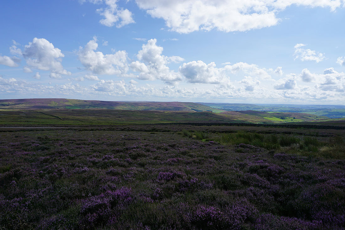
The heathery expanse of Barden Fell
Over the wall the moorland rises to Great Pock Stones
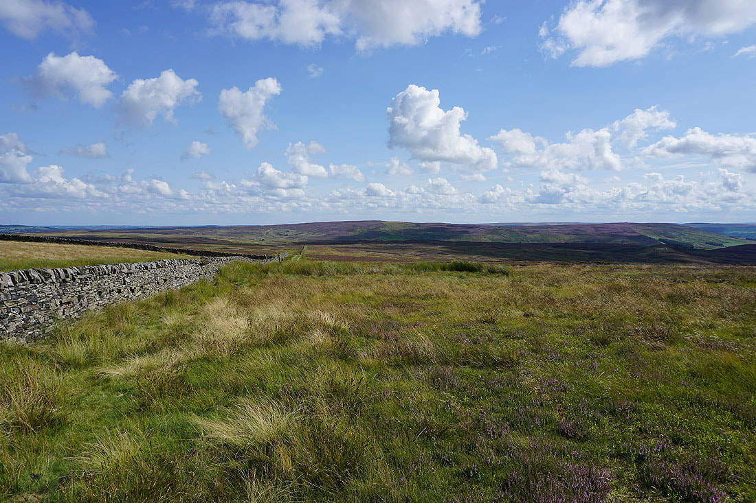
Following the wall south to Rocking Moor with Round Hill in the distance
Round Hill and Beamsley Beacon from Rocking Moor
Looking southwest to the South Pennines moors
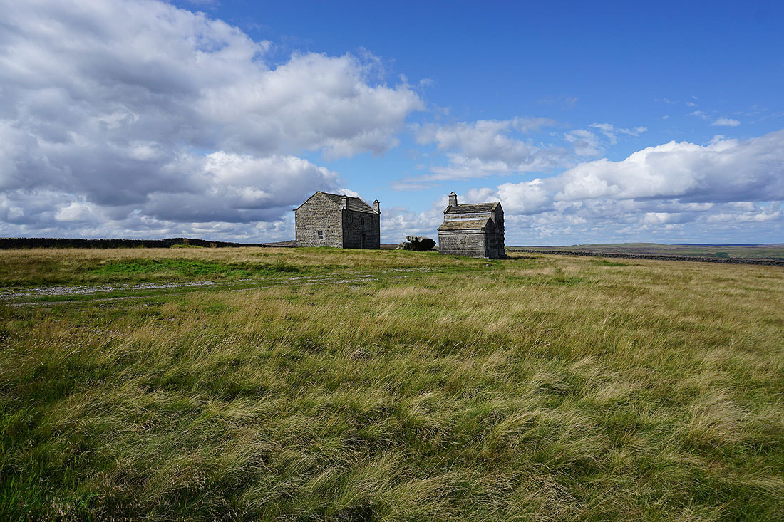
Rocking Hall and Rocking Stone on Rocking Moor
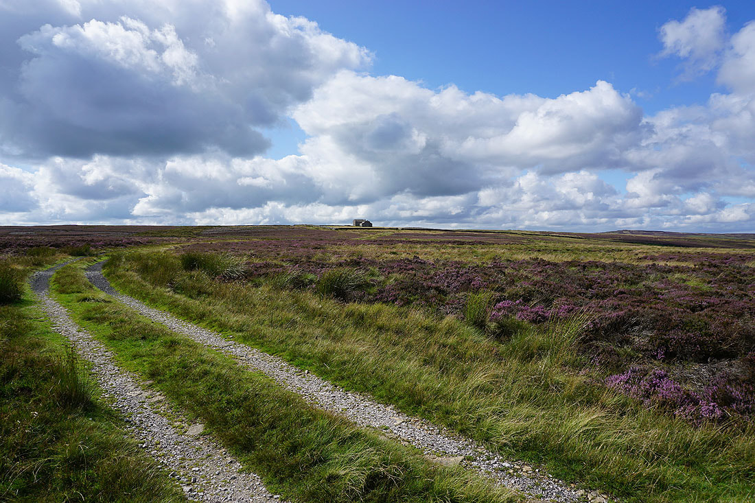
Looking back to Rocking Hall as I follow..
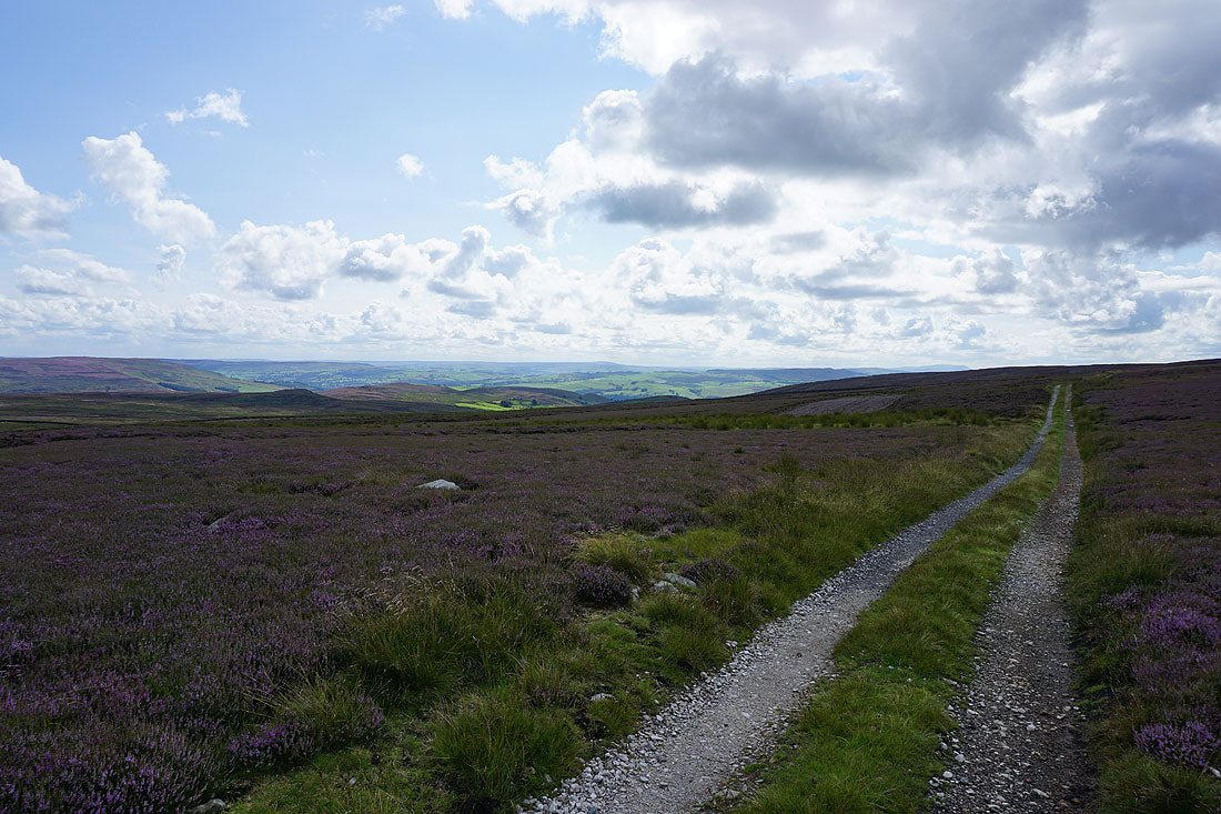
..the track southeast across Rocking Moor
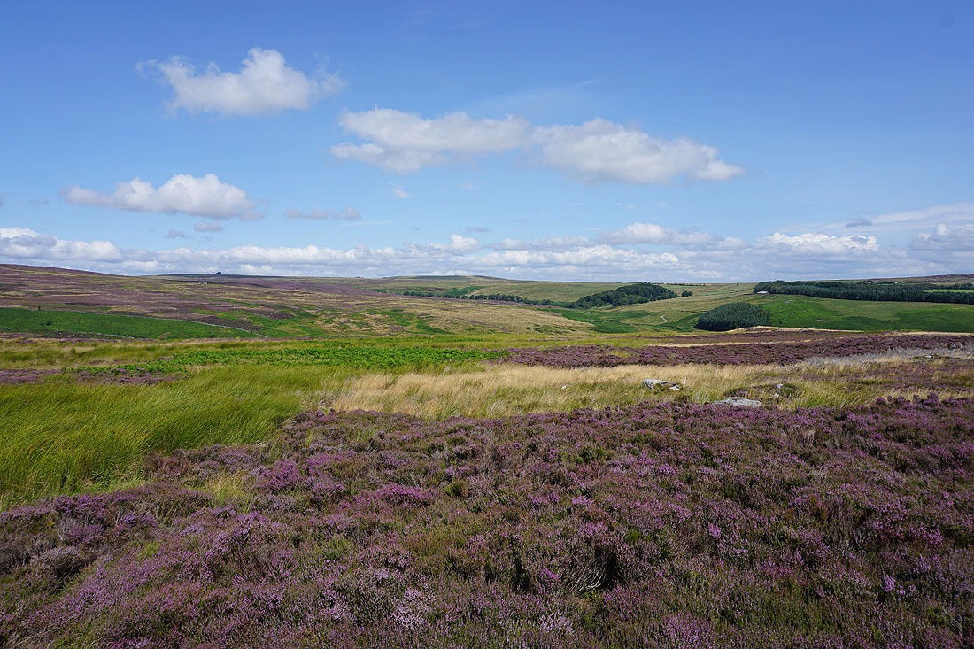
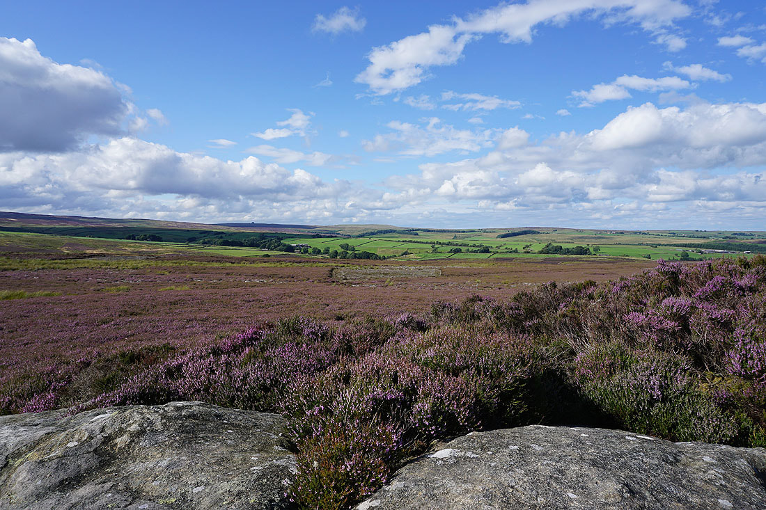
There are great views across the surrounding heather covered moorland in the late afternoon sunshine........
Looking back to Rocking Hall on the skyline as I leave access land
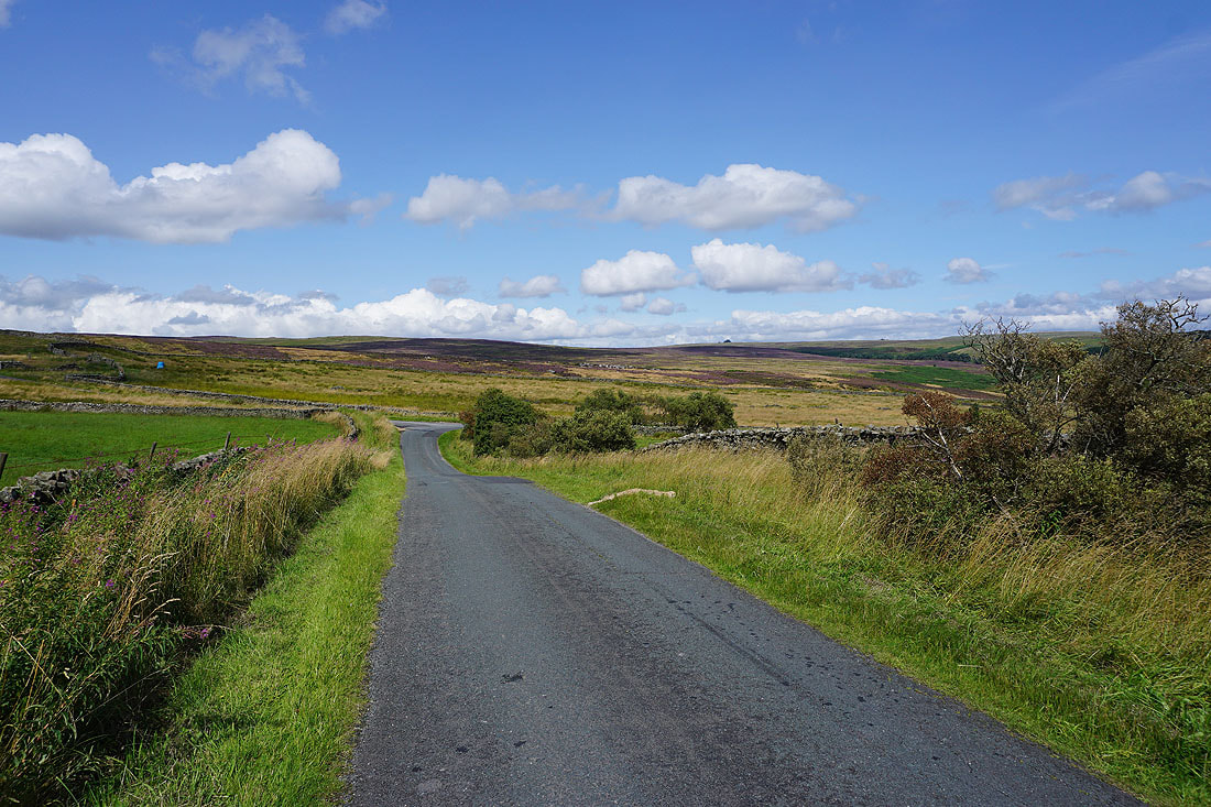
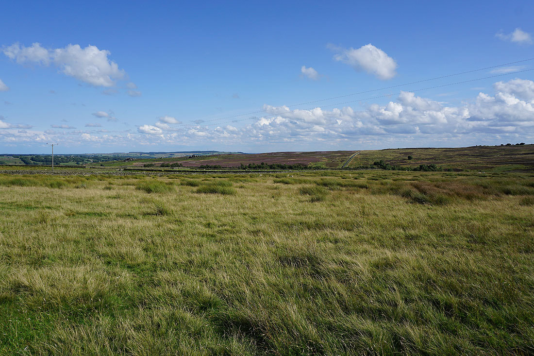
On the track from Spittle Ings House to North Moor Road
Looking south across Redshaw Gill to Brandrith Crags
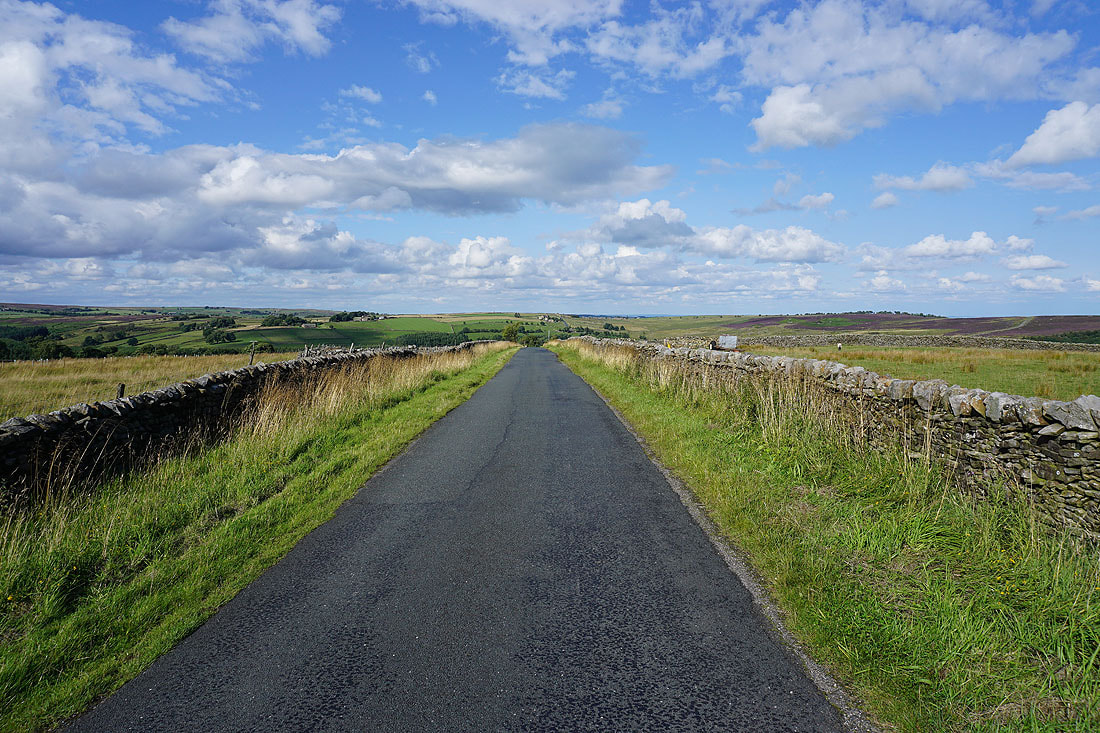
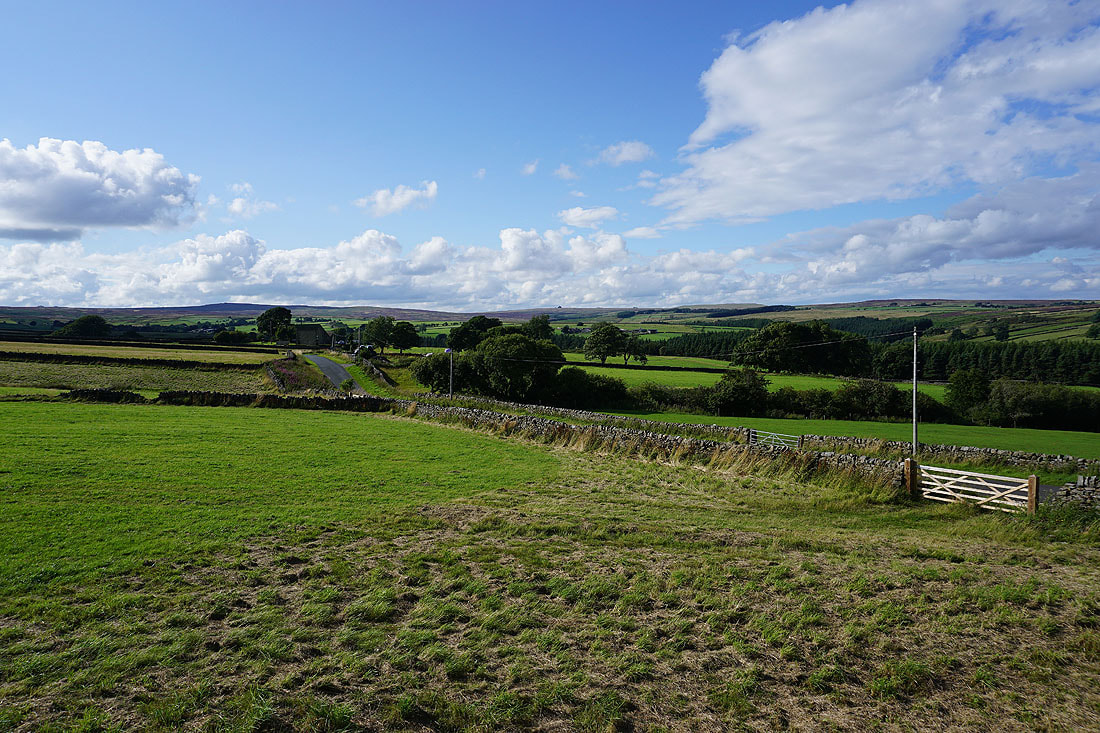
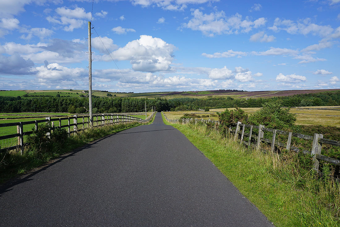
It's a lovely end to the afternoon as I walk along country lanes back to the car park...
