9th December 2017 - Buckden Pike
Walk Details
Distance walked: 6.6 miles
Total ascent: 1908 ft
OS map used: OL30 - Yorkshire Dales, Northern & Central areas
Time taken: 4 hrs
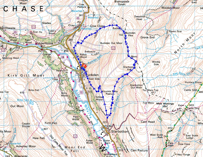
Route description: Buckden-Buckden Rake-Buckden Pike-Walden Road-Buckden
A bitterly cold winter's day with snow on the ground for this walk up Buckden Pike. I was off work yesterday and in theory I could have done it then, when there was a lot more sunshine. Unfortunately there was also a gale force wind and with subzero temperatures I dread to think what the wind chill would have been like. Rather than enjoying the day out it would probably have been a battle with the elements. The cloud did make for an interesting sky and light though. I've nearly ended up bookending the year with walks up Buckden Pike, it's definitely the first one that was the best.
From the car park in Buckden I set off by walking up the bridleway of Buckden Rake, and then onto the path up to the summit of Buckden Pike. After having lunch in the shelter of the summit wall I walked south along the summit ridge to the memorial cross then down to the wall corner where the bridleway of Walden Road is reached. I followed this downhill towards Starbotton but just before the final descent to the valley floor I left it for a footpath on the right signposted for Buckden Lead Mine. This contoured north across the hillside and when it was joined by a path up from Buckden I took that one down to Buckden and the car park.
Total ascent: 1908 ft
OS map used: OL30 - Yorkshire Dales, Northern & Central areas
Time taken: 4 hrs
Route description: Buckden-Buckden Rake-Buckden Pike-Walden Road-Buckden
A bitterly cold winter's day with snow on the ground for this walk up Buckden Pike. I was off work yesterday and in theory I could have done it then, when there was a lot more sunshine. Unfortunately there was also a gale force wind and with subzero temperatures I dread to think what the wind chill would have been like. Rather than enjoying the day out it would probably have been a battle with the elements. The cloud did make for an interesting sky and light though. I've nearly ended up bookending the year with walks up Buckden Pike, it's definitely the first one that was the best.
From the car park in Buckden I set off by walking up the bridleway of Buckden Rake, and then onto the path up to the summit of Buckden Pike. After having lunch in the shelter of the summit wall I walked south along the summit ridge to the memorial cross then down to the wall corner where the bridleway of Walden Road is reached. I followed this downhill towards Starbotton but just before the final descent to the valley floor I left it for a footpath on the right signposted for Buckden Lead Mine. This contoured north across the hillside and when it was joined by a path up from Buckden I took that one down to Buckden and the car park.
Route map
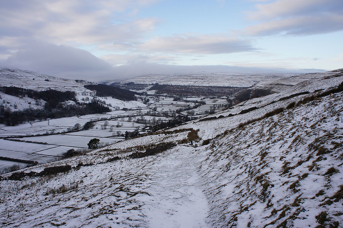
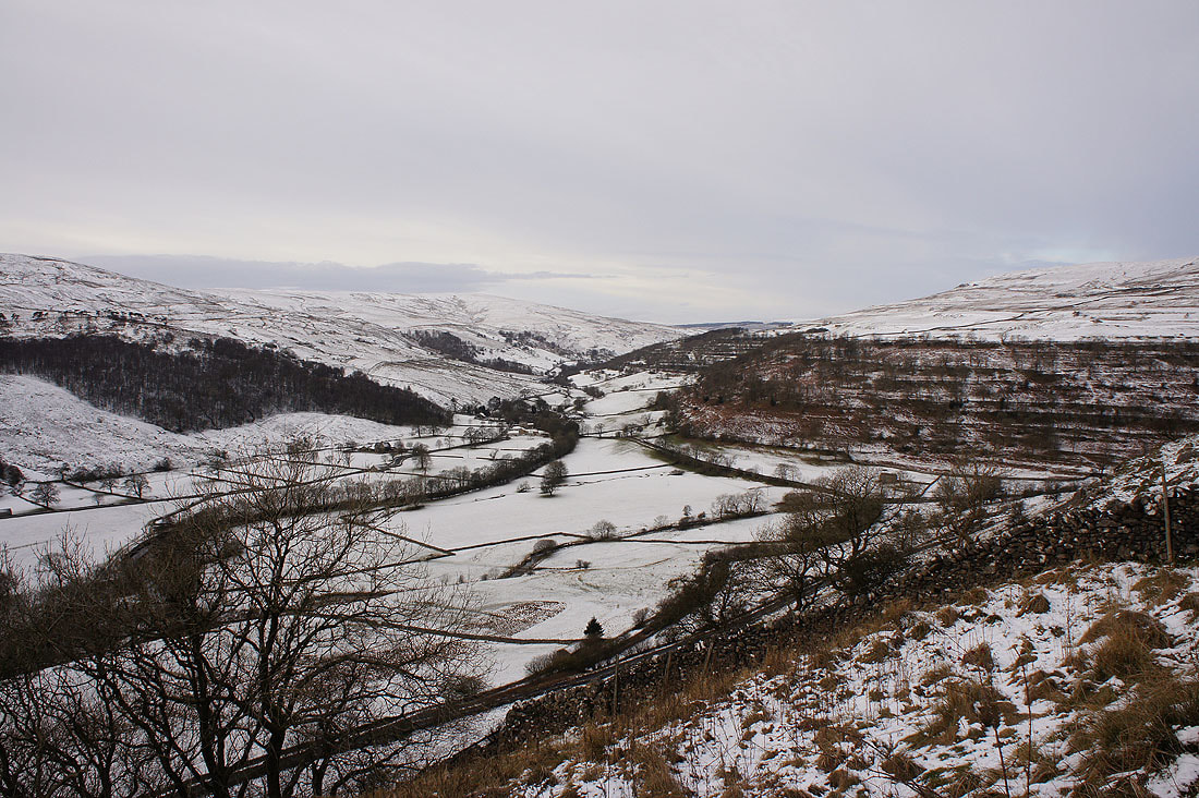
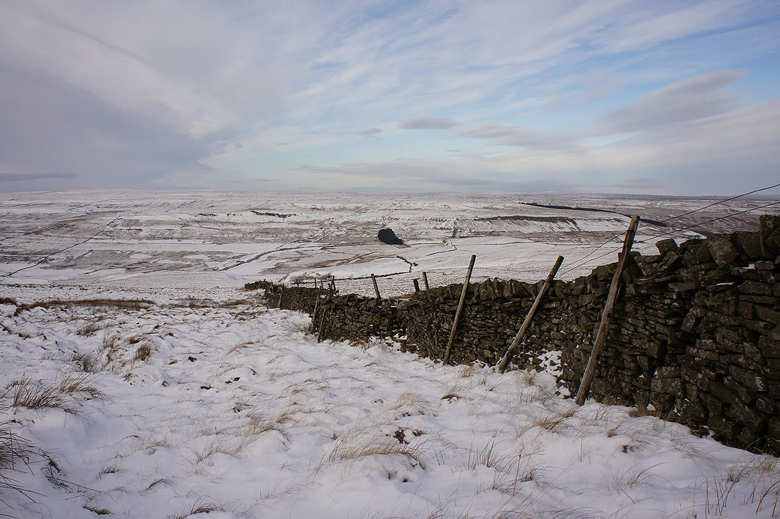
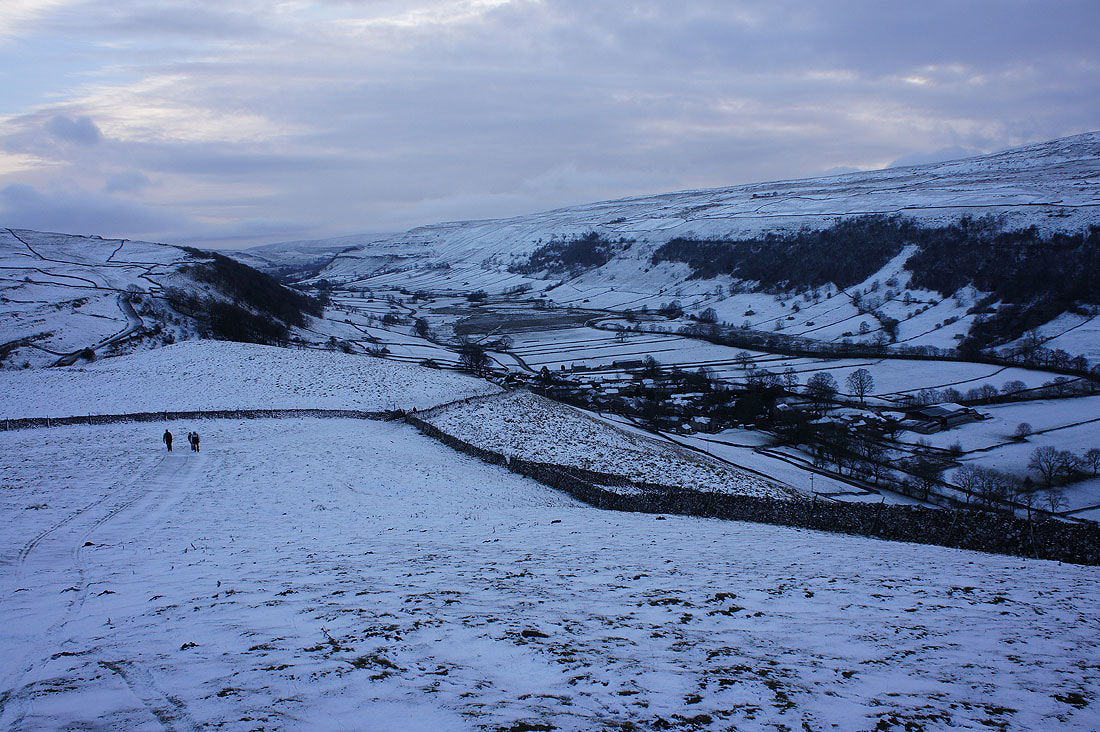
Looking back down on Buckden and Wharfedale as I set off
Langstrothdale
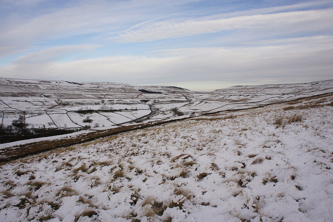
The valley of Cray Gill that carries the road across to Bishopdale
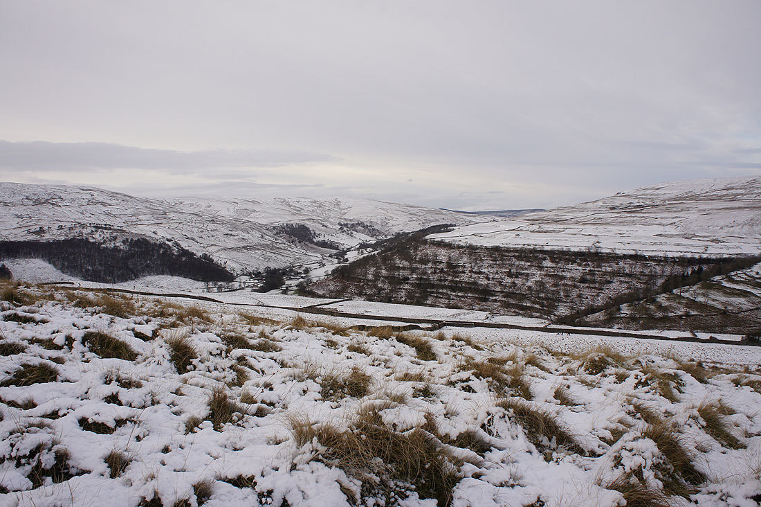
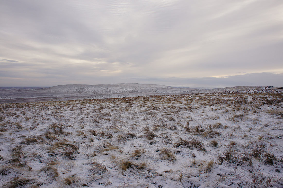
More of the moors around Langstrothdale come into view as I head uphill
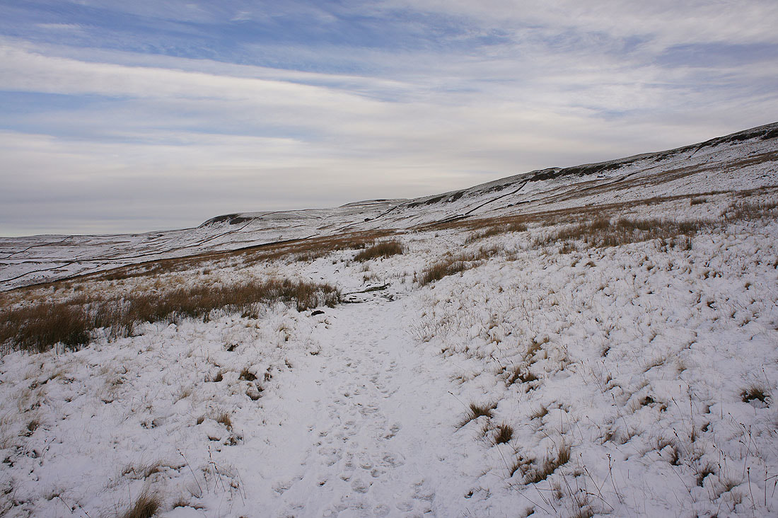
Yockenthwaite Moor to the northwest
and Penyghent, Ingleborough and Whernside to the west
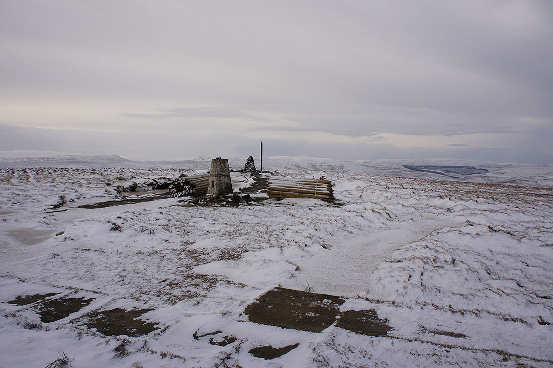
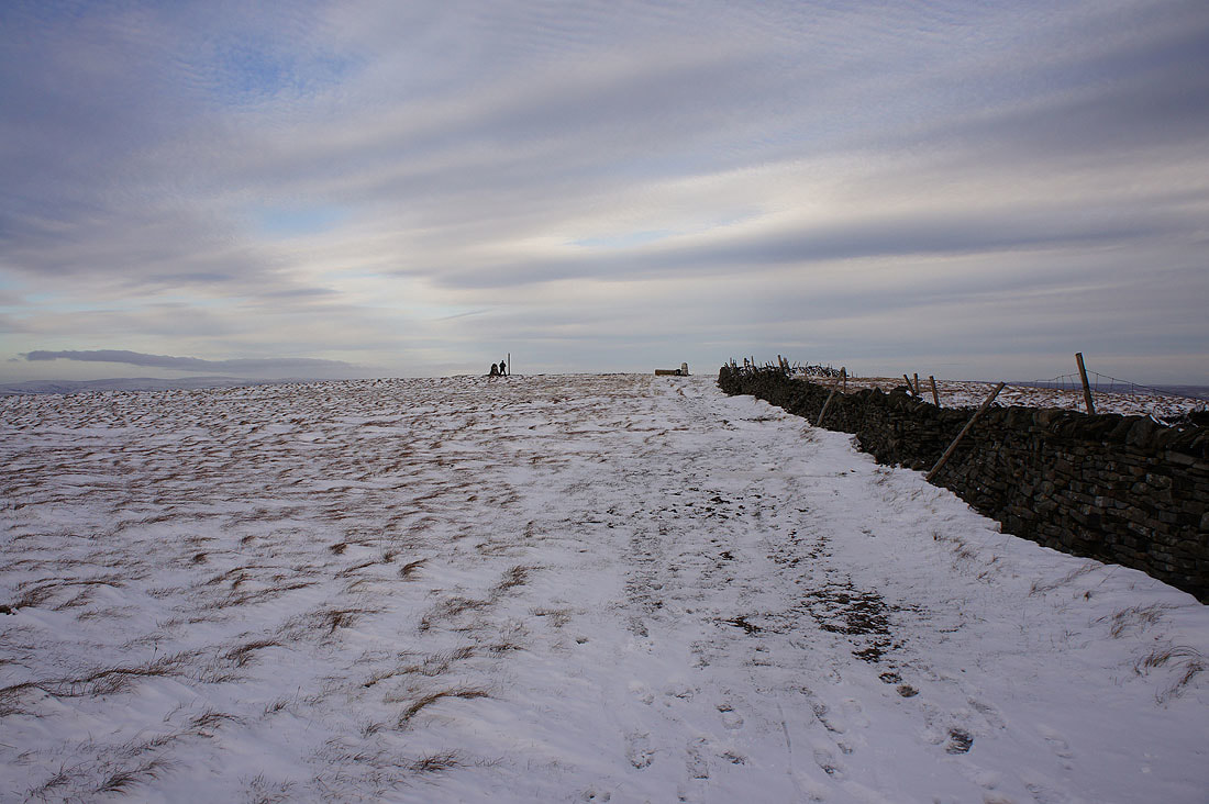
On the summit of Buckden Pike and it definitely looks and feels like winter today. There's a strong and bitterly cold wind blowing.
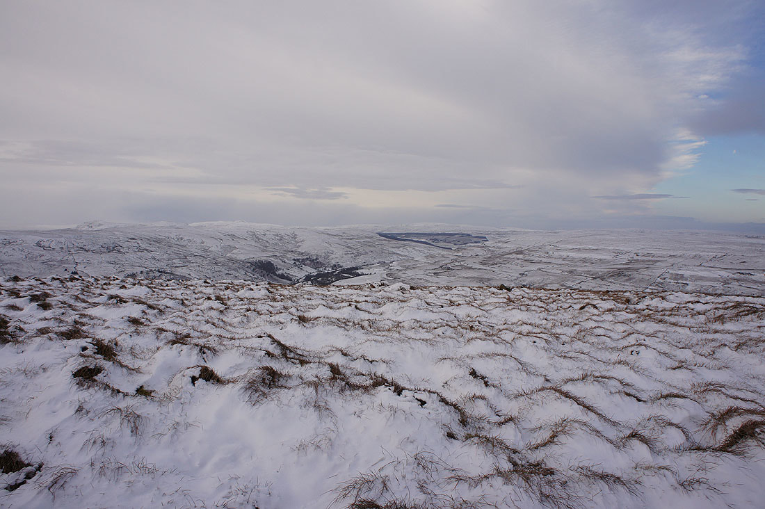
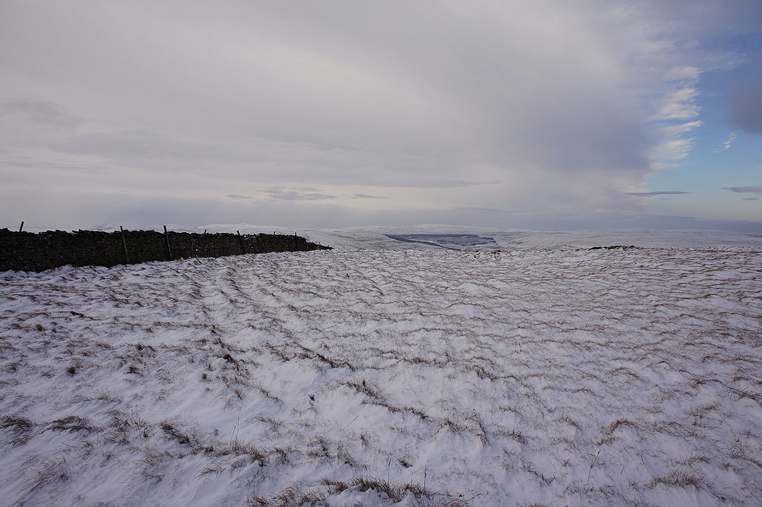
After having my lunch sat in the shelter of the wall, time to take in the view. The moors around the valley of Walden to the northeast.
Great Whernside to the southeast
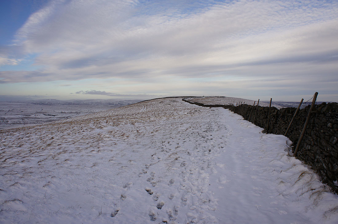
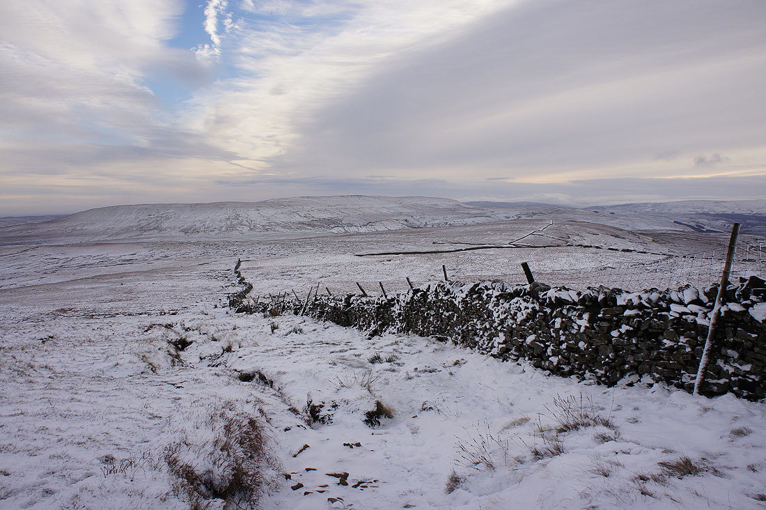
The wall providing shelter stretches away to the south
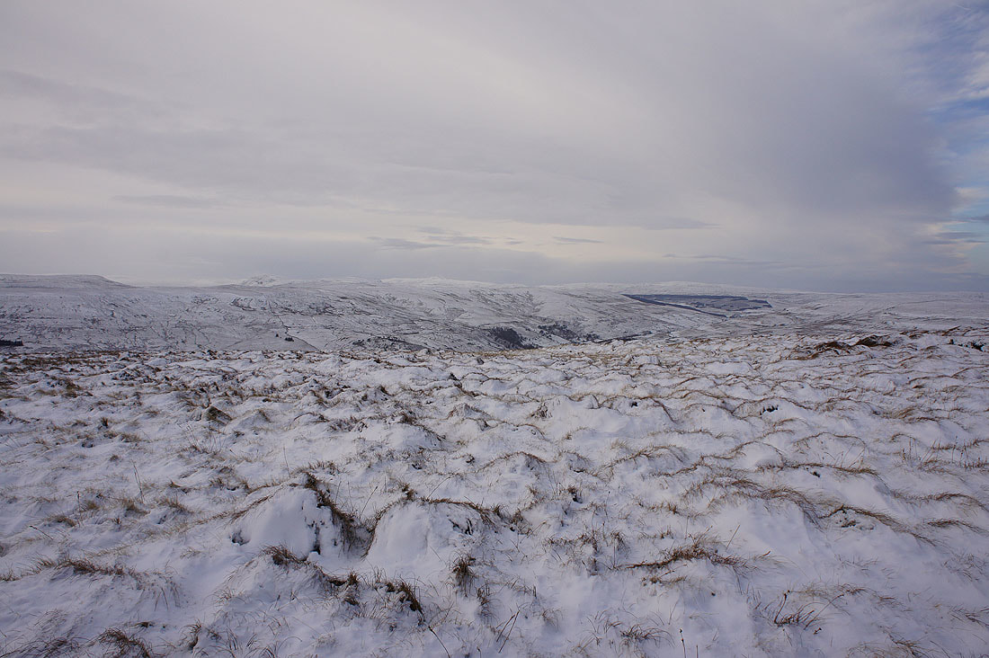
Penyghent, Ingleborough, Langstrothdale, Whernside and Yockenthwaite Moor
Looking north towards Wild Boar Fell and Great Shunner Fell
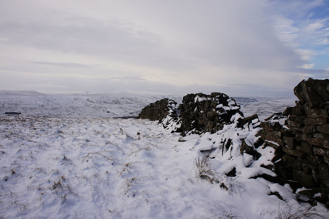
Great looking sky as I leave the summit to follow the wall south
More photos of the view west to Penyghent, Ingleborough and Whernside. The way the snow has been scoured shows just how strong the wind was yesterday.
Looking back north to the summit
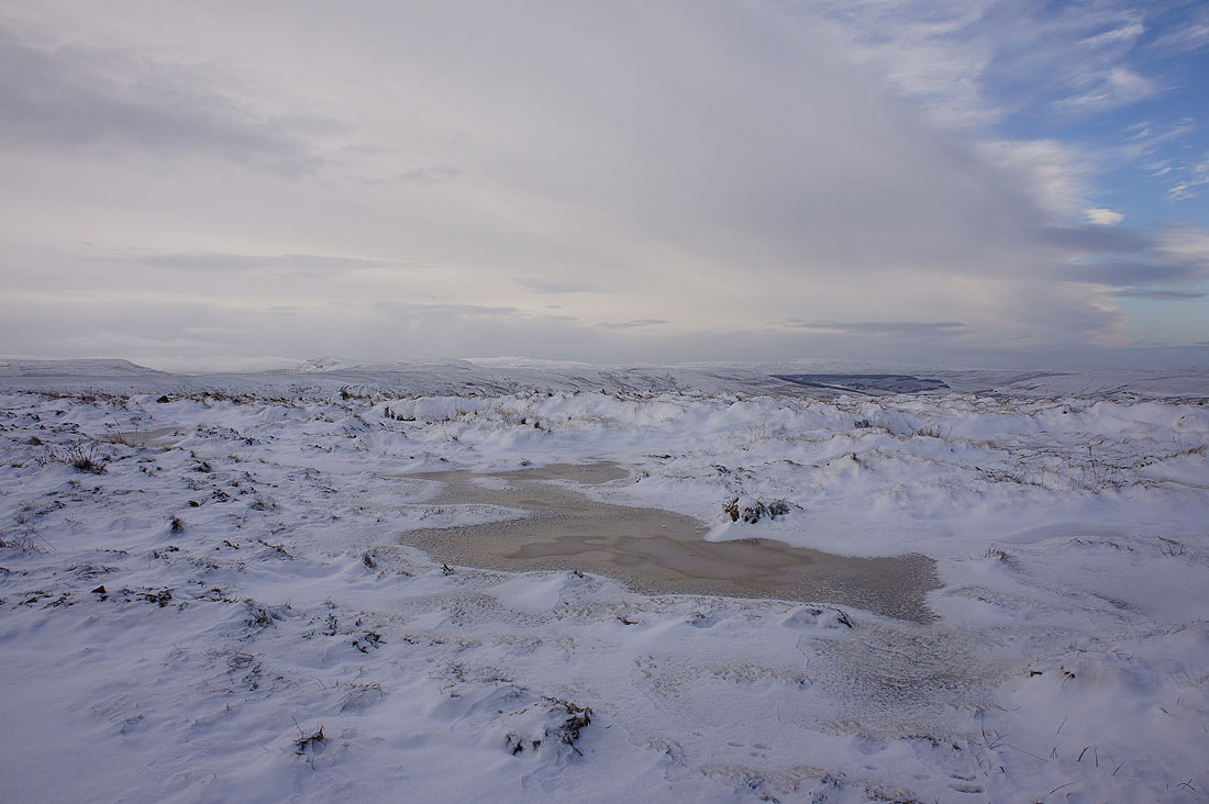
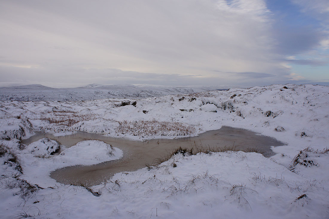
A few more shots of the cold and snowy scenery...
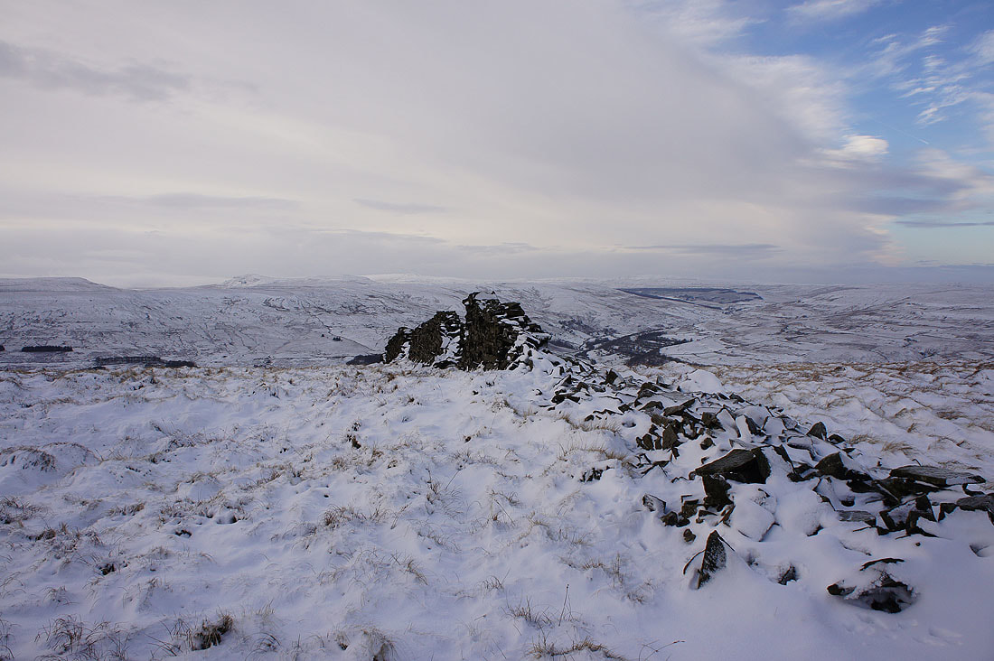
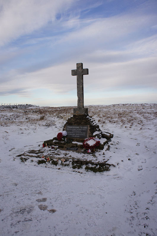
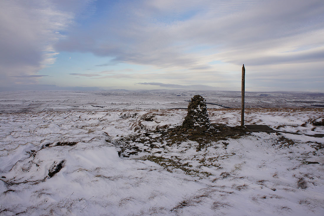
The war memorial at the southern end of the summit ridge
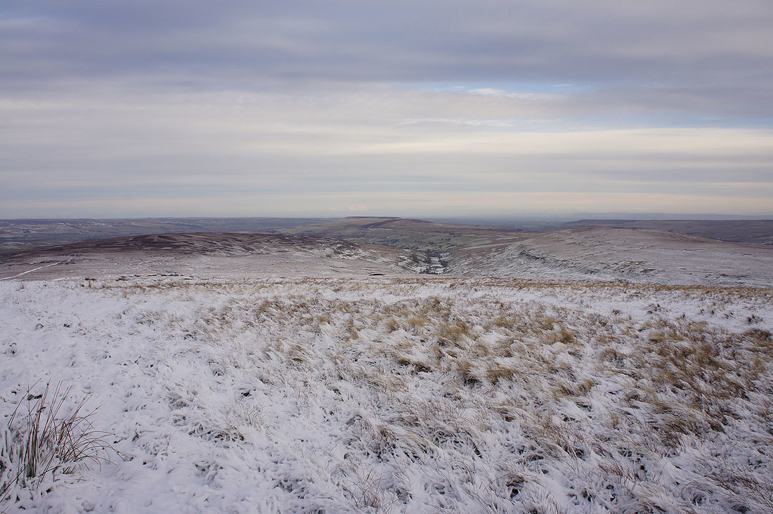
Great Whernside ahead as I start my descent

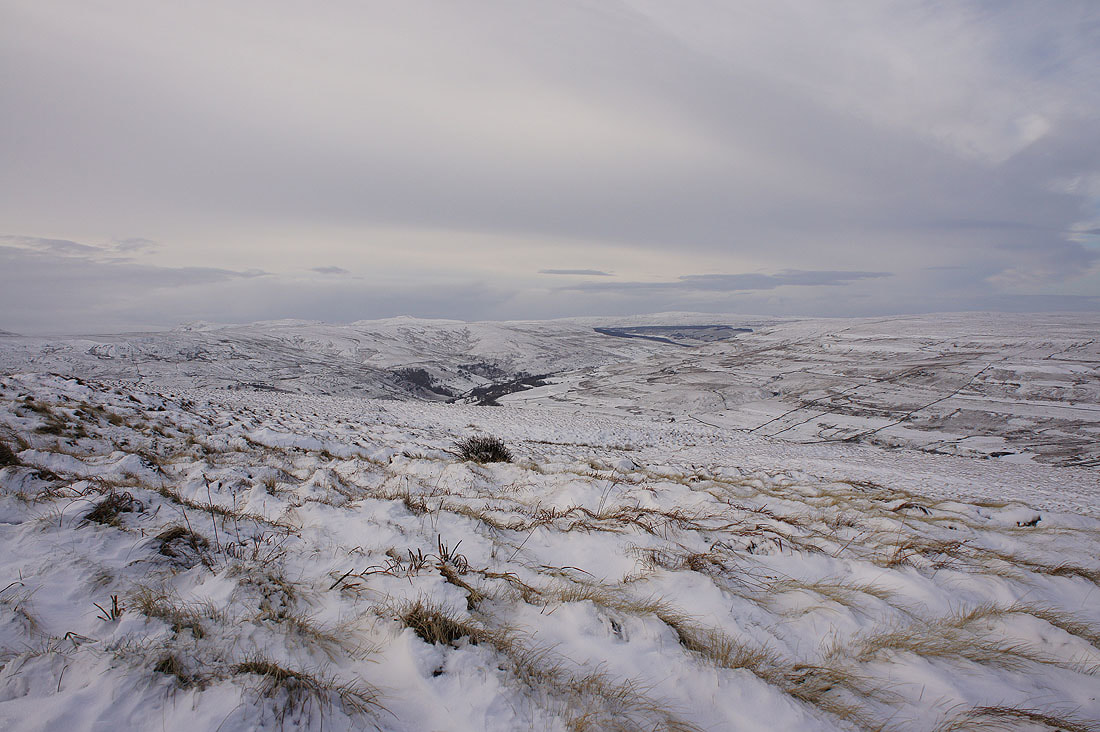
A last chance for a distant view towards the moors around Walden and Wensleydale

and towards Fountains Fell and Penyghent, which are being hidden from view by encroaching low cloud
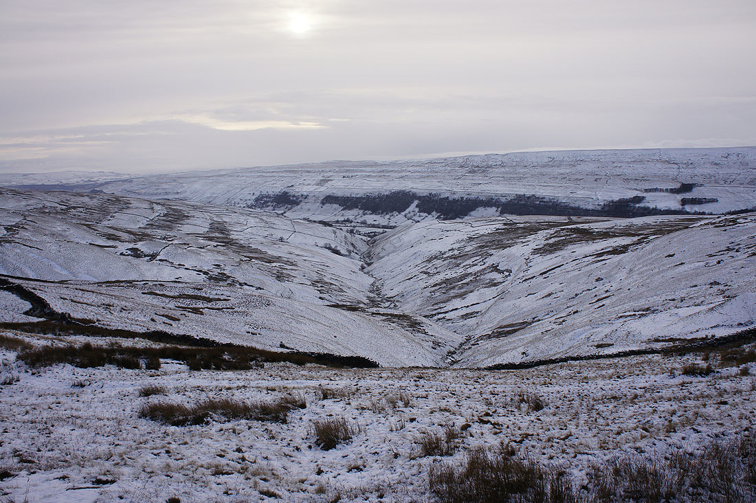
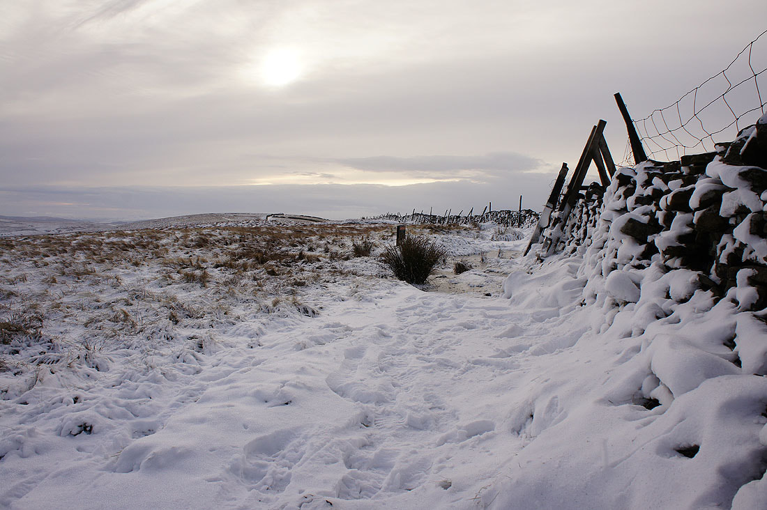
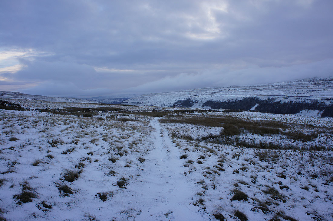
Above the valley of Cam Gill Beck as I head for Starbotton on the bridleway of Walden Road
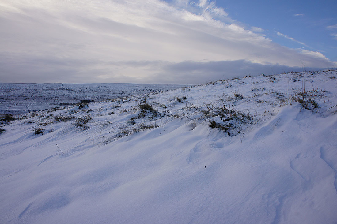
Sculpted snow
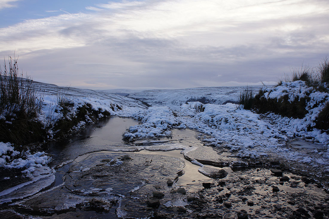
Crossing an icy beck
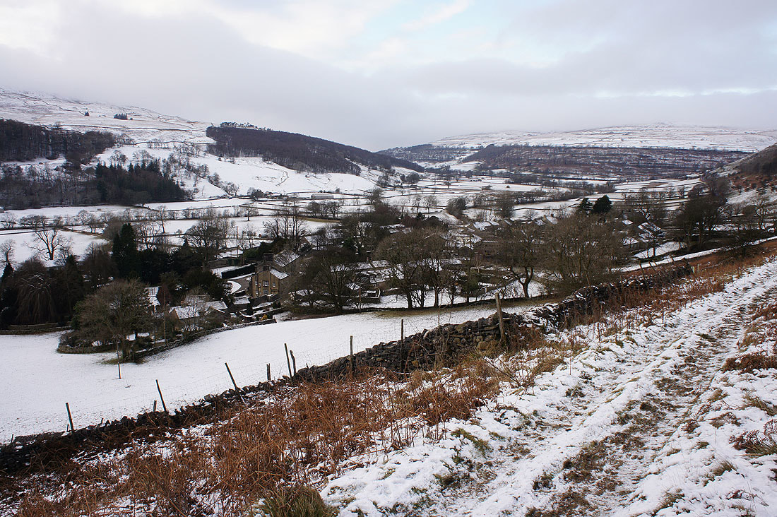
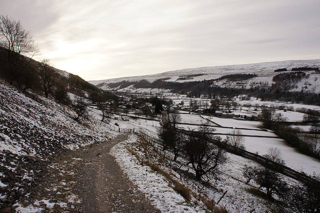
Starbotton below as I leave the bridleway for the footpath back to Buckden
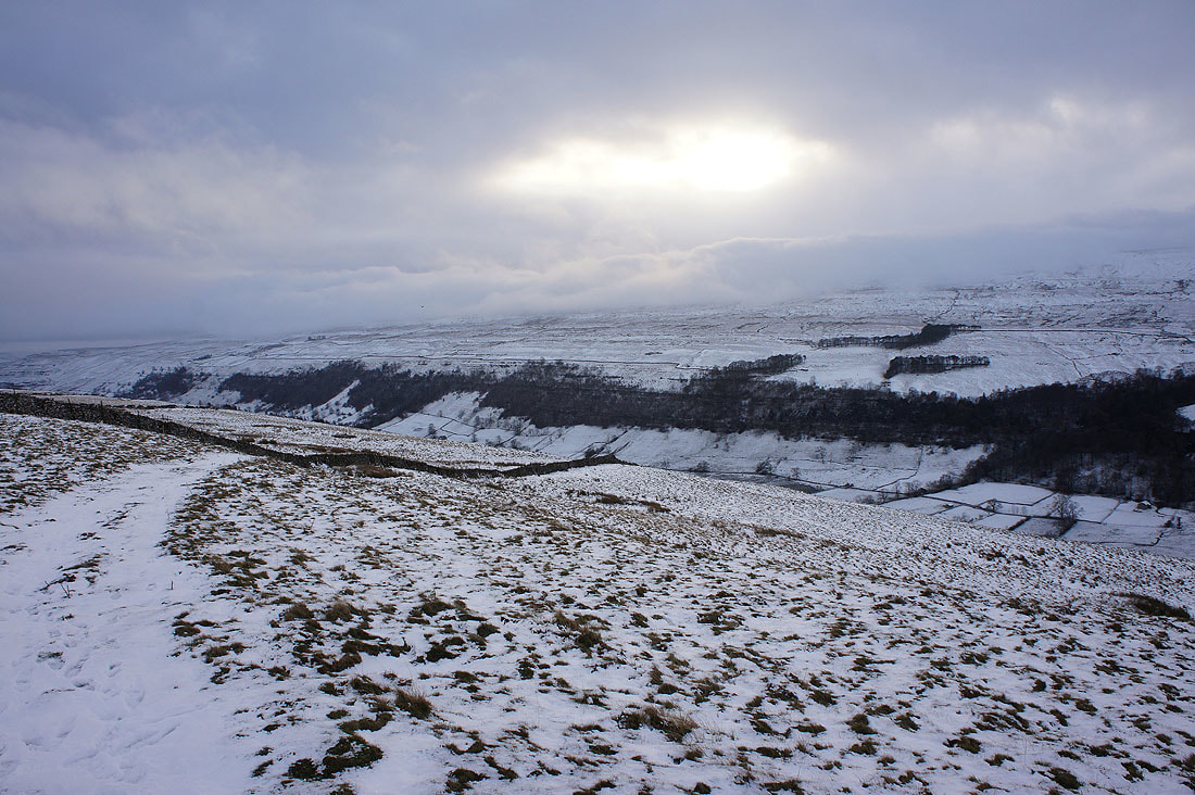
It's turned very gloomy now that the low cloud has reached the surrounding moors
A last glimpse of the sun as I make my descent back to Buckden...