9th December 2018 - Beamsley Beacon
Walk Details
Distance walked: 11.3 miles
Total ascent: 1539 ft
OS map used: 297 - Lower Wharfedale & Washburn Valley
Time taken: 6 hrs
Route description: Layby on B6160-Dales Way-Addingham-West Hall-West Hall Lane-Leyfield Farm-Hardistys-Moor End Farm-Long Ridge-Bow Shaw-Gawk Hall Ridge-Round Hill-The Old Pike-Beamsley Beacon-Beamsley-Beamsley Lane-A59-Bolton Bridge-Dales Way-Layby on B6160
After a wet day yesterday today was much better with plenty of winter sunshine. My visit to Simon's Seat a couple of weeks ago reminded me that there was hill in Wharfedale that I'd yet to visit, Beamsley Beacon. Today was the ideal day with great visibility so that I could take in the fantastic view from its summit. The route that I worked out gave me the opportunity to walk a section of the Dales Way that is new to me, Bolton Bridge to Addingham, and to walk across the moorland of Round Hill to the east of Beamsley Beacon. The length of it was at the limit of what's doable with the days as short as they are now. After setting off in and enjoying a sunny morning the cloud built up a little around early afternoon but was fortunately melting away by the time that I arrived on Beamsley Beacon. There was a strong and cold breeze blowing throughout the day.
From where I parked in the layby on the B6160 just south of its junction with the A59 I started by following the trail of the Dales Way (concessionary route next to the road) south to Lobwood House. Here I crossed the road and carried on following the trail south by the River Wharfe until I reached Addingham, where I crossed it via the suspension footbridge. Once across the river I took the footpath up to and past West Hall to West Hall Lane. I had a short walk up West Hall Lane to reach a footpath on the right that I followed uphill across fields and through woodland to Leyfield Farm and Hardistys on the road below Langbar Moor. I then turned right and walked up the road to Moor End Farm where I took a track east across the moorland of Long Ridge and Foldshaw Ridge, through the gate in the wall where it meets the track of Parks Lane, then across the moorland of Bow Shaw. Before the track reached a conifer plantation I took another one uphill to Gawk Hall Ridge and Gawk Hall Gate, then from there the path to the summit of Round Hill. I then made my way southwest along the moorland ridge to The Old Pike and Beamsley Beacon. After taking in the views from the summit I made my way down to the road below, and walked down this to the village of Beamsley. I then walked north along Beamsley Lane to the A59 where a bridleway on the south side of the road took me west to the River Wharfe. The bridleway passes under the road bridge and meets the old road at Bolton Bridge. After crossing Bolton Bridge I followed the Dales Way back to where I was parked by the B6160.
Route map
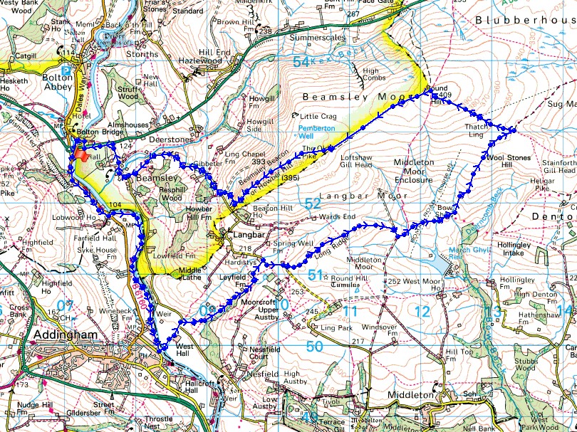
© Crown copyright. All rights reserved. License number PU 100034184.
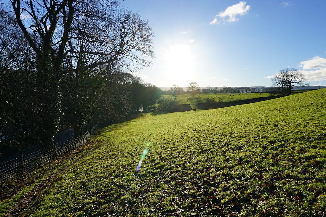
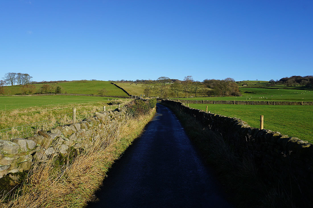
Heading south on the permissive path that the trail of the Dales Way takes from the layby on the B6160
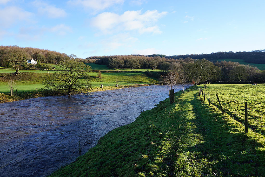
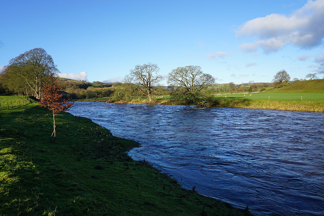
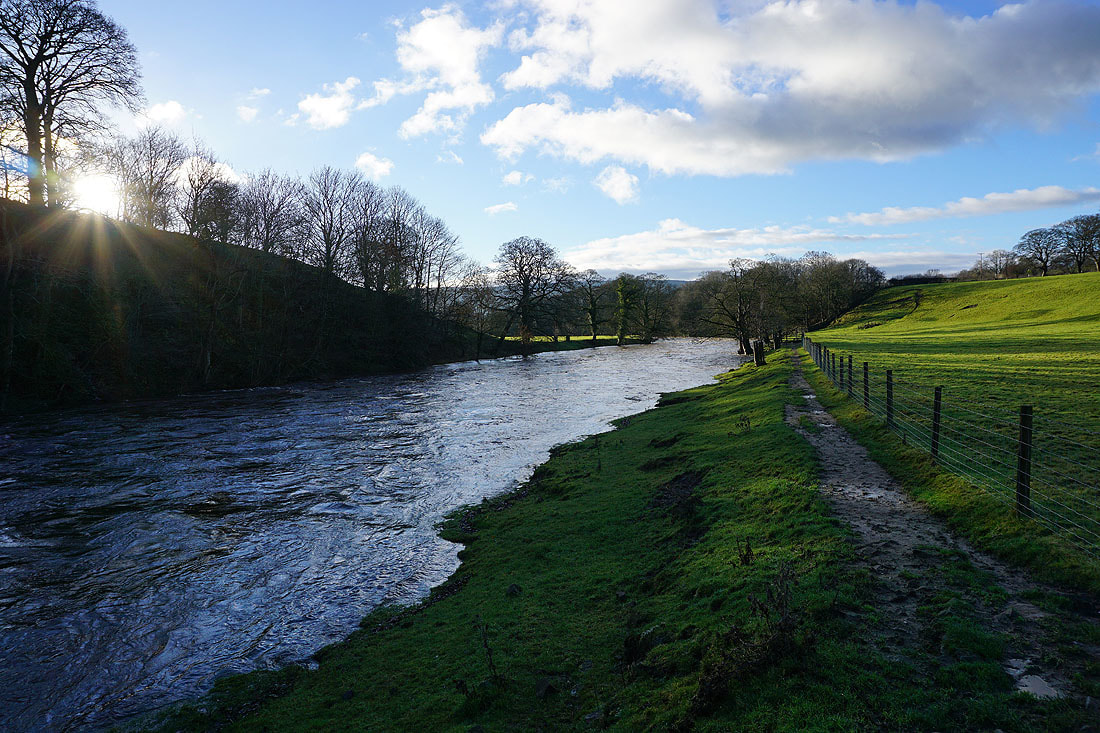
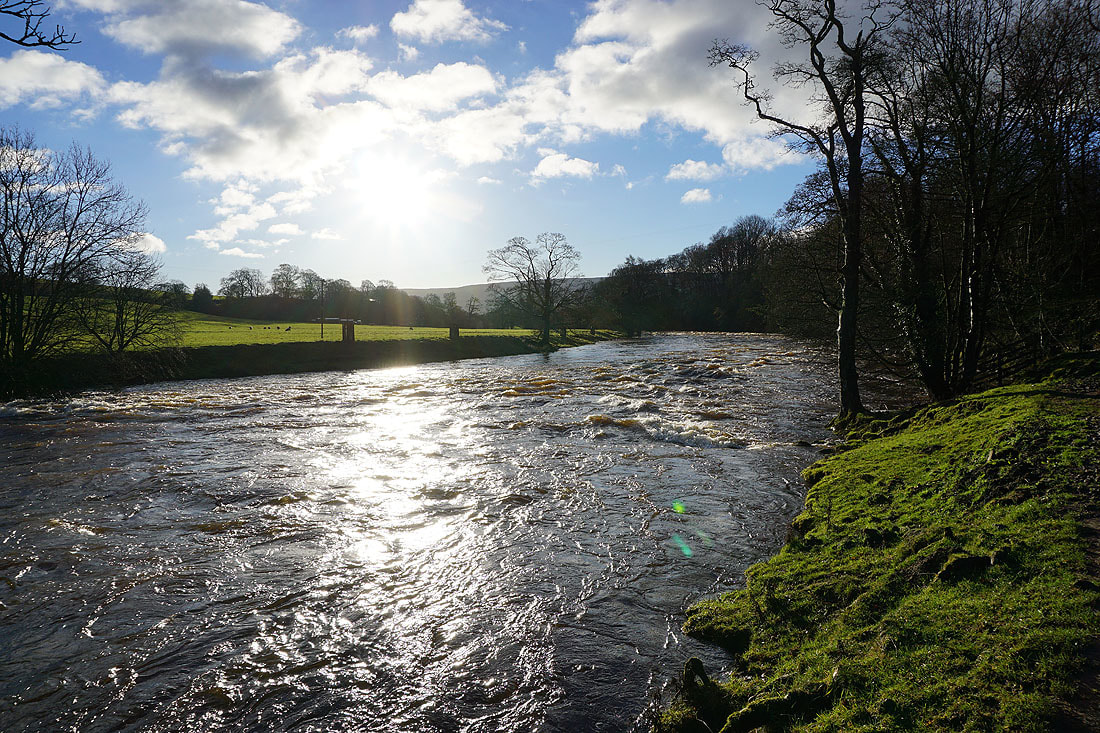
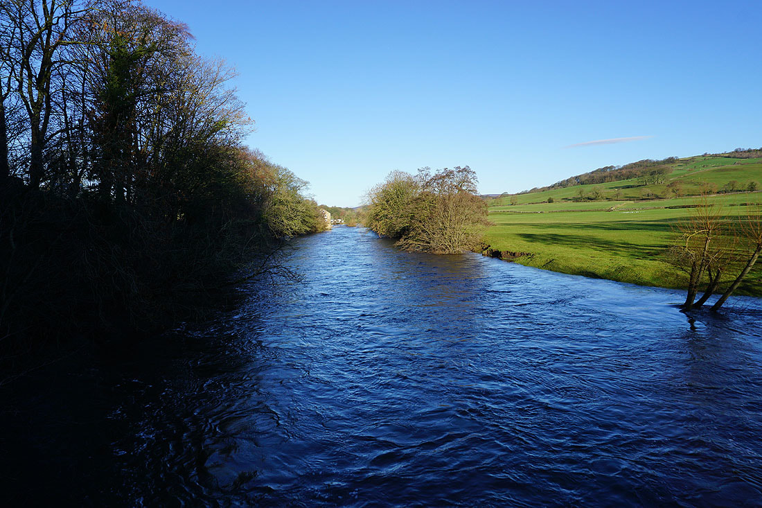
Following the Dales Way by a full River Wharfe......
I leave the Dales Way and cross the river via the suspension bridge at Addingham
Past West Hall and approaching West Hall Lane
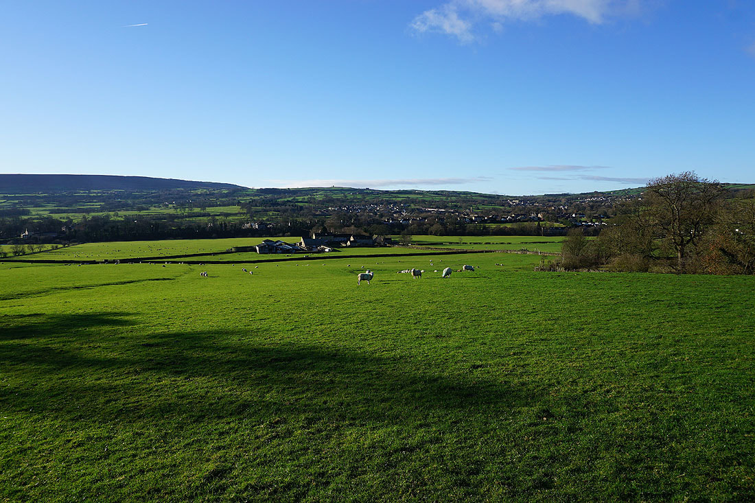
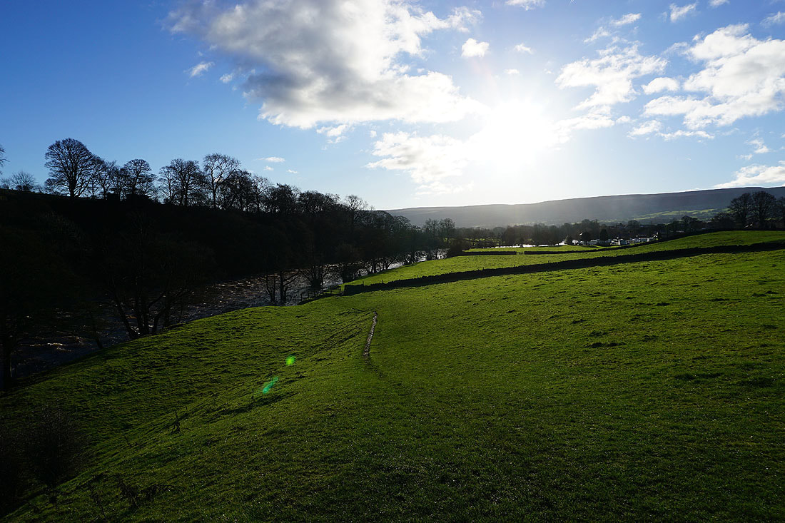
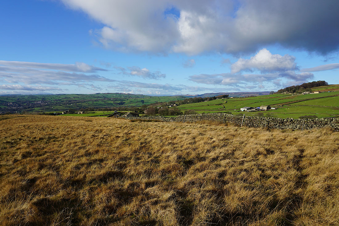
Looking back across the valley to Addingham as I walk up the hillside above West Hall
Beamsley Beacon from the road near Moor End Farm
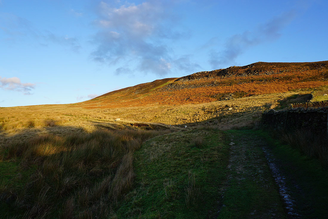
At Moor End Farm I take the track across the moorland of Long Ridge
Looking back with Skipton Moor in the distance on the left and Barden Moor on the right
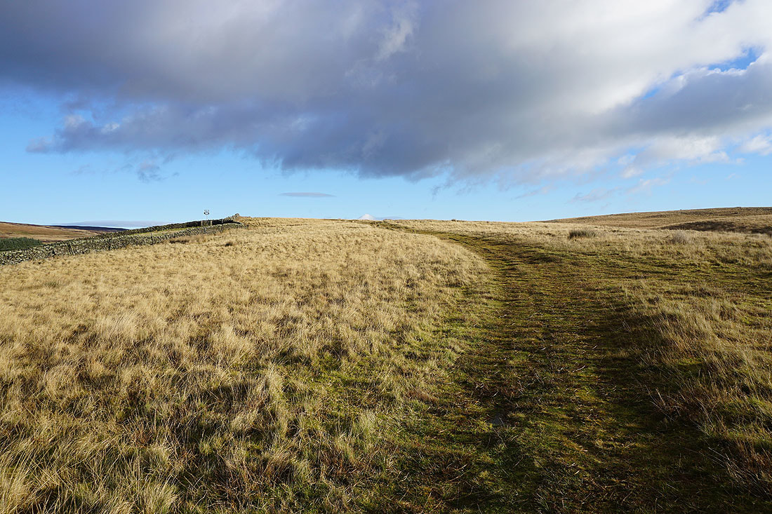
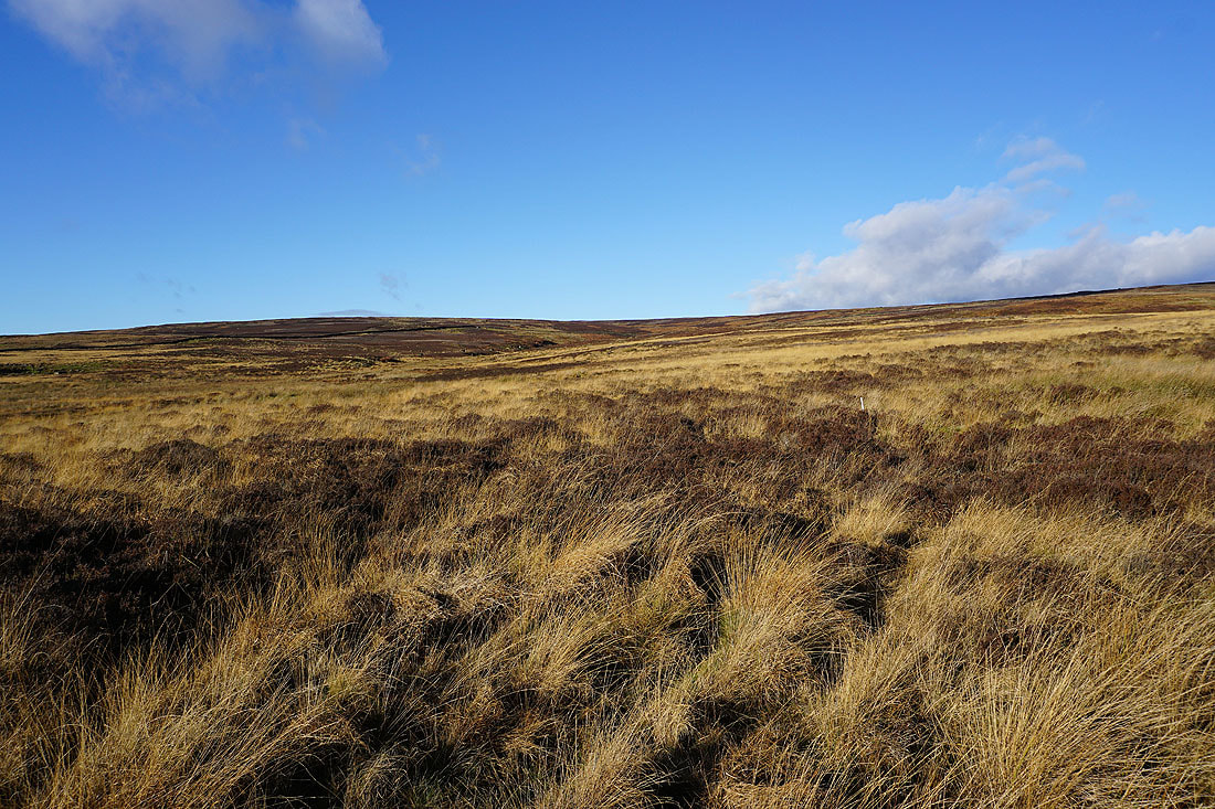
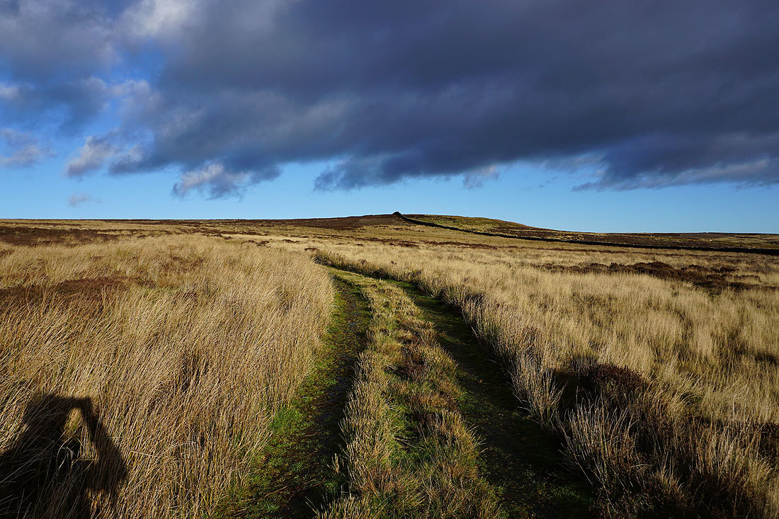
Crossing Long Ridge with the slopes of Round Hill ahead
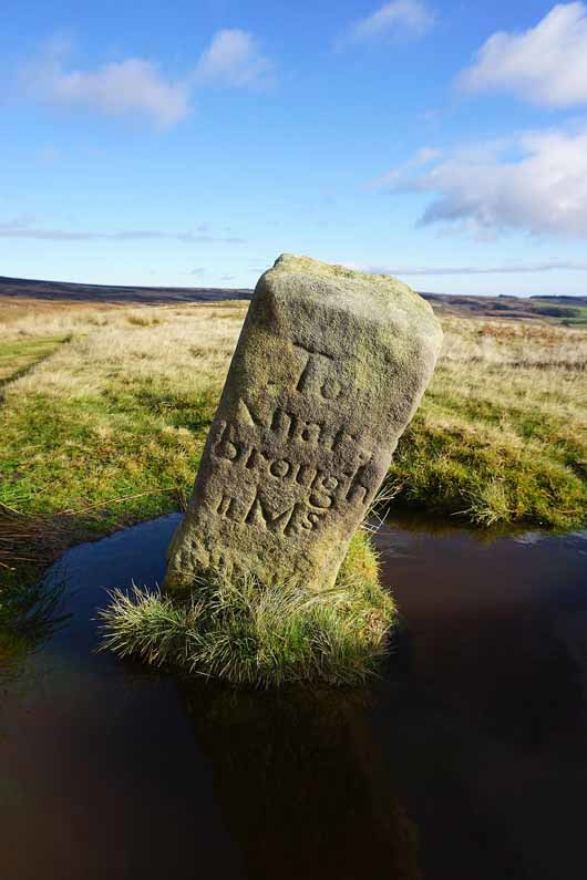
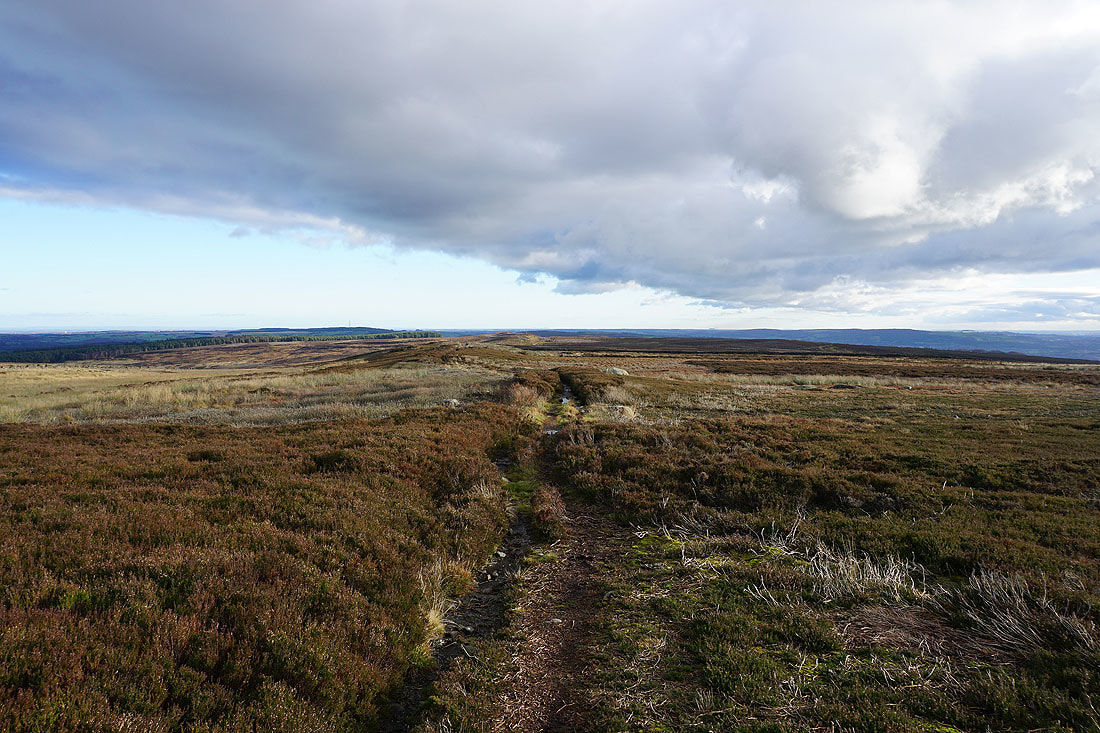
11 miles to Knaresborough
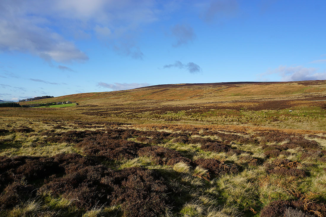
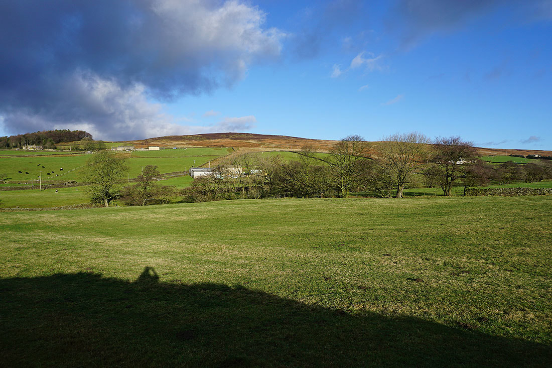
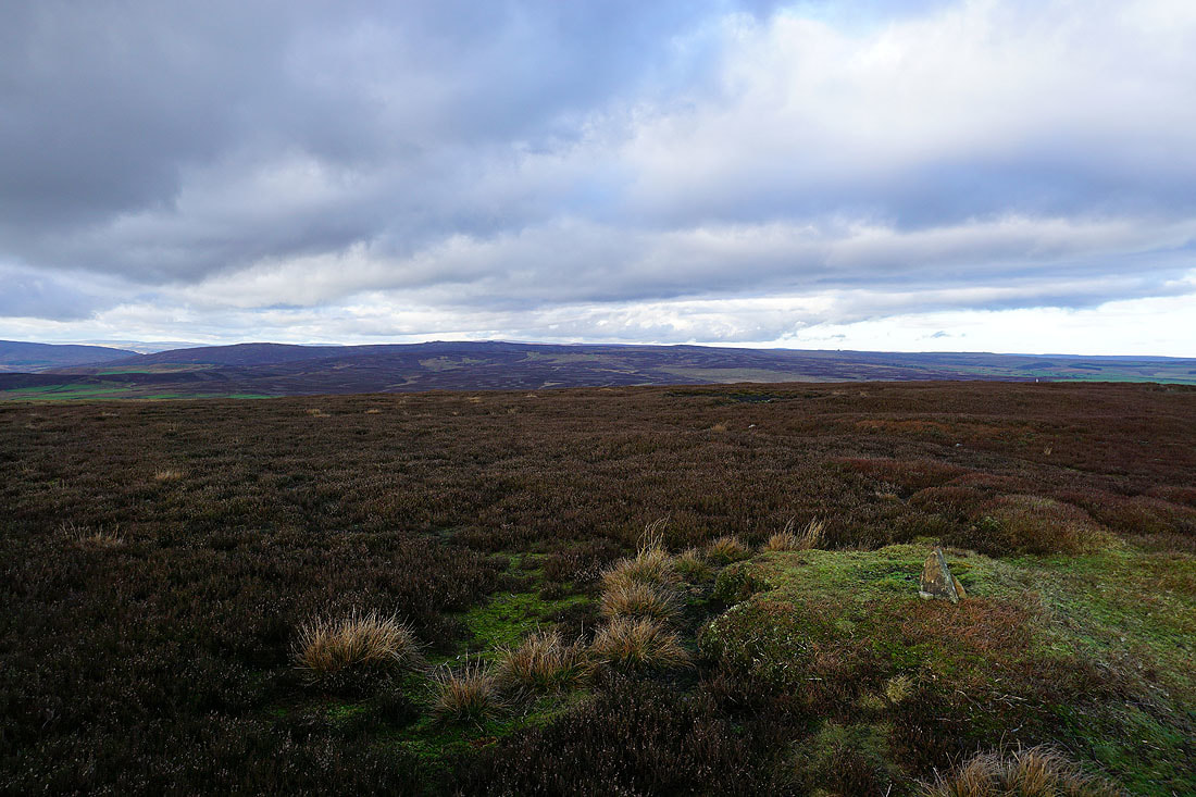
Langbar Moor
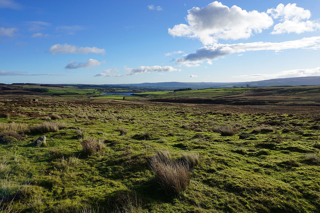
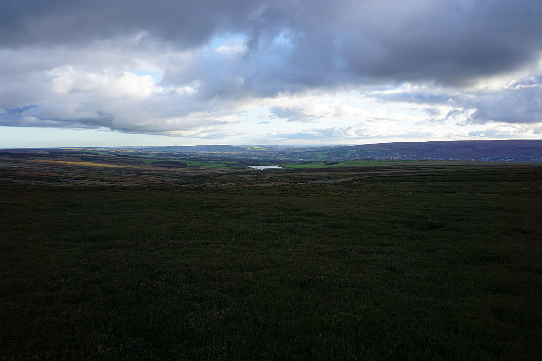
March Ghyll Reservoir with Otley Chevin in the distance
Great colours on the moors in the winter sunshine
March Ghyll Reservoir with Ilkley Moor in the distance as I start up the track onto Round Hill..
I can make out the profile of Pendle Hill in the distance as I look west across the slopes of Round Hill and Beamsley Beacon
Another milestone passed. 12 miles to Ripon, 3 miles to Ilkley.
Lippersley Pike and Denton Moor to the east
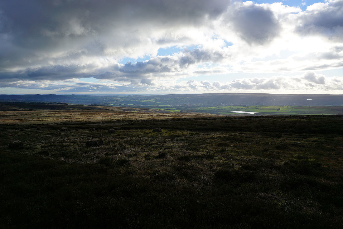
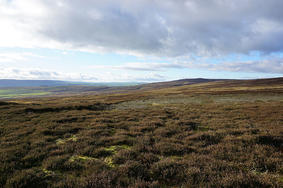
Wharfedale, March Ghyll Reservoir and Ilkley Moor
On the summit of Round Hill with Barden Fell to the north
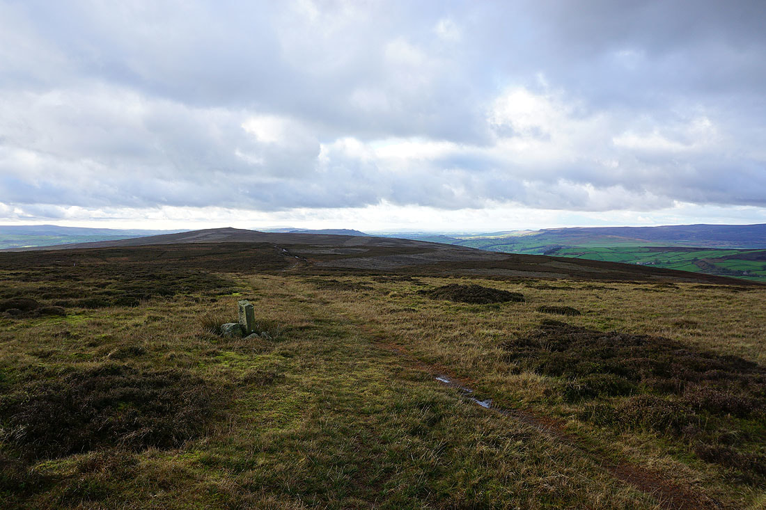
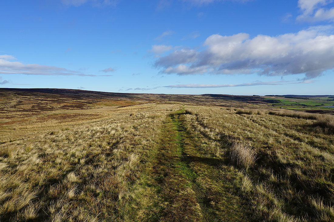
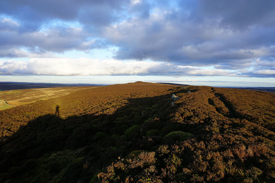
On the ridge to Beamsley Beacon
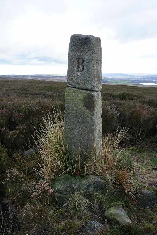
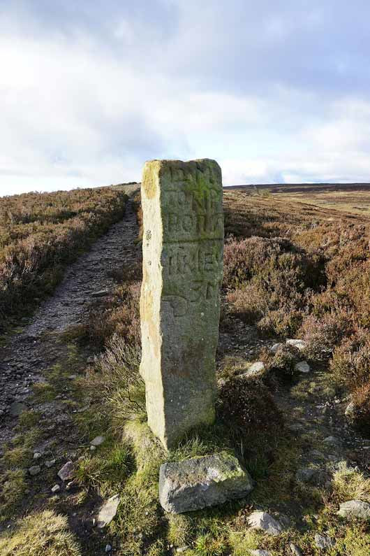
A boundary stone. I presume that the B stands for Beamsley.
Otley Chevin, March Ghyll Reservoir and the eastern end of Ilkley Moor
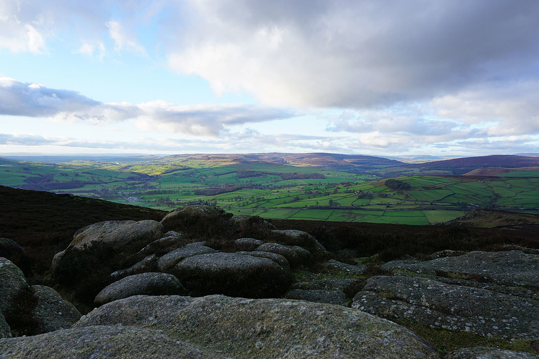
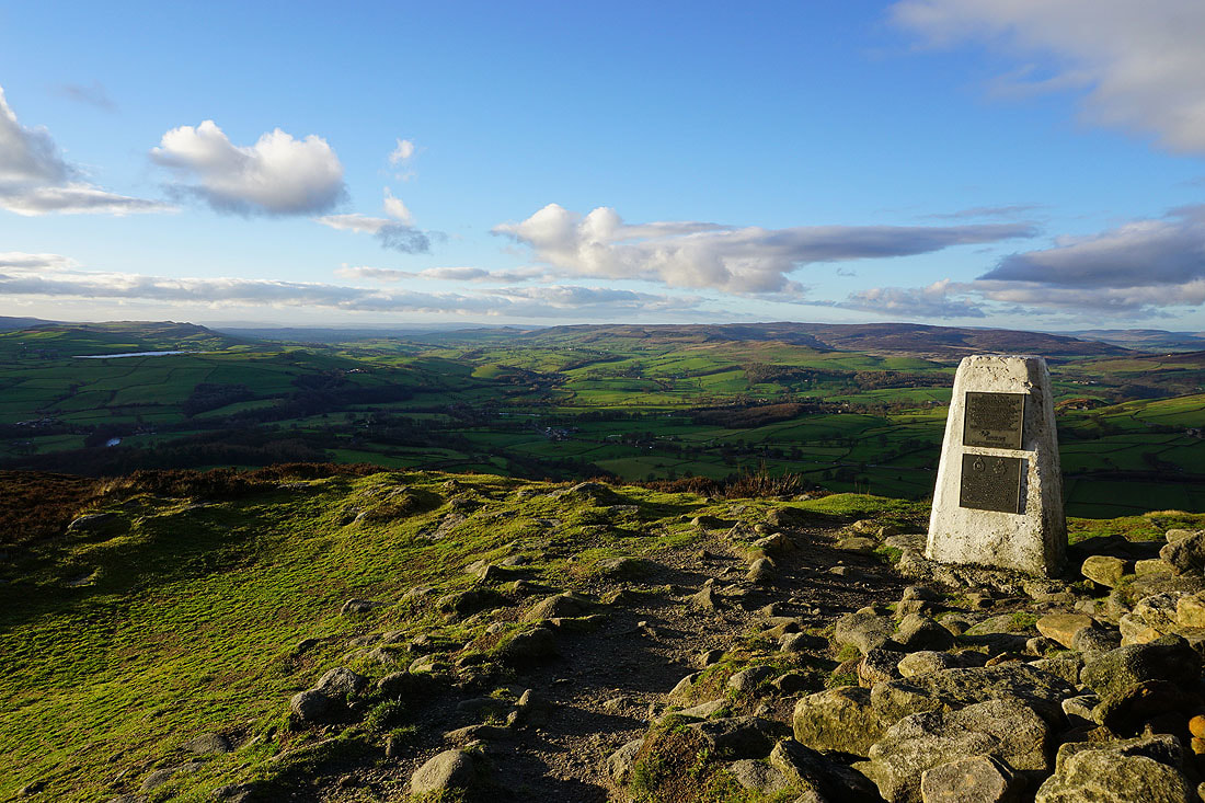
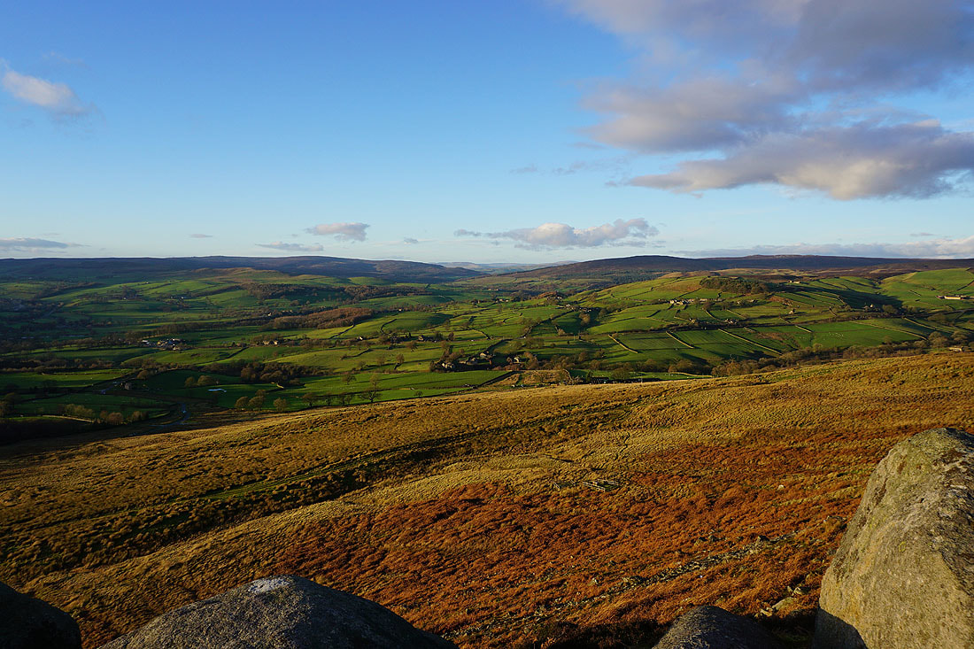
Barden Moor on the other side of Wharfedale from the summit of The Old Pike
Barden Moor and Barden Fell to the north
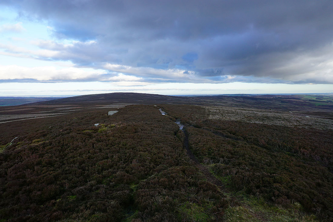
Looking back to Round Hill
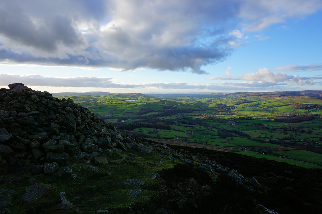
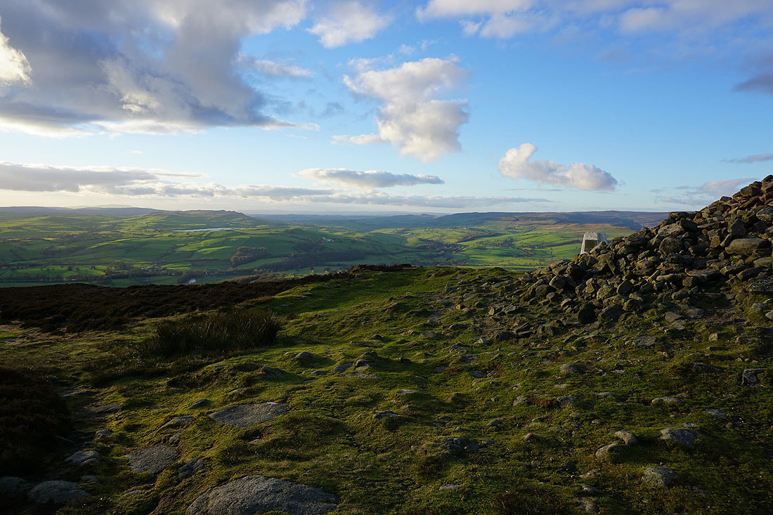
A very large cairn and a great view to greet my arrival on Beamsley Beacon
Looking back to The Old Pike
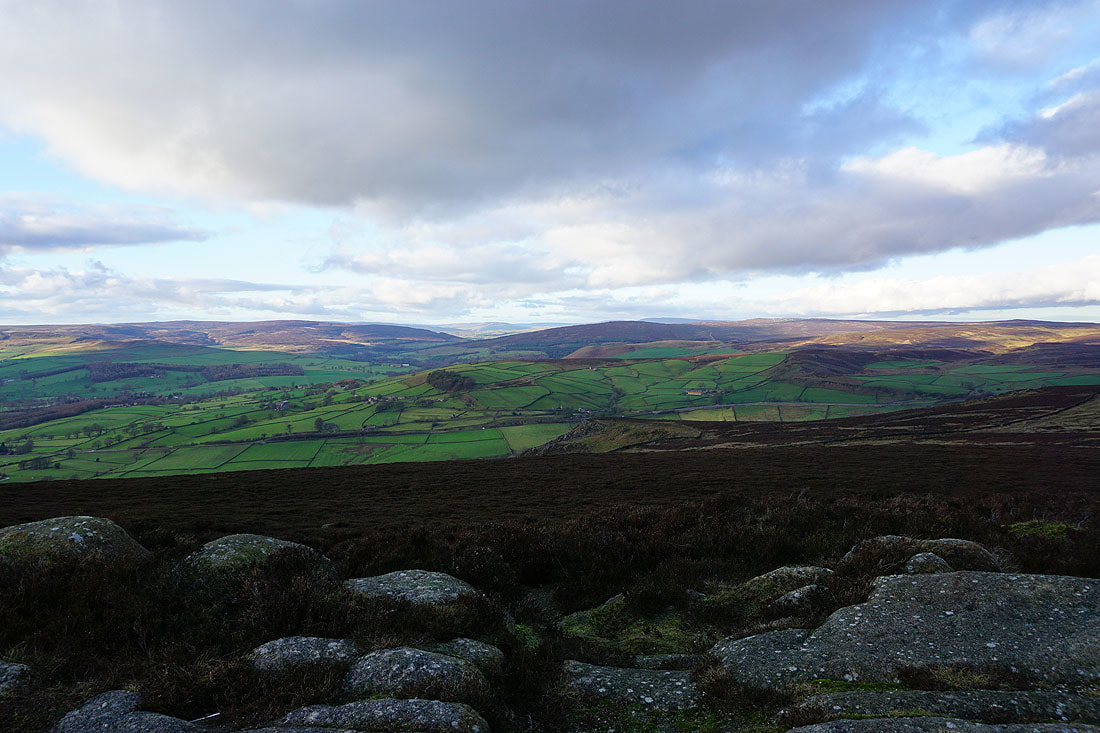
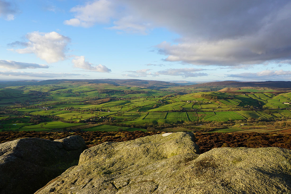
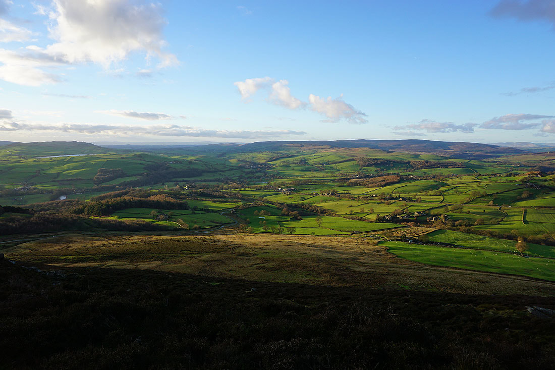
The cloud that built up around the middle of the day is melting away to give increasing amounts of sunshine. The long shadows and colours make for great photos. On the left are Skipton Moor and Chelker Reservoir, Wharfedale is below and Barden Moor on the right.
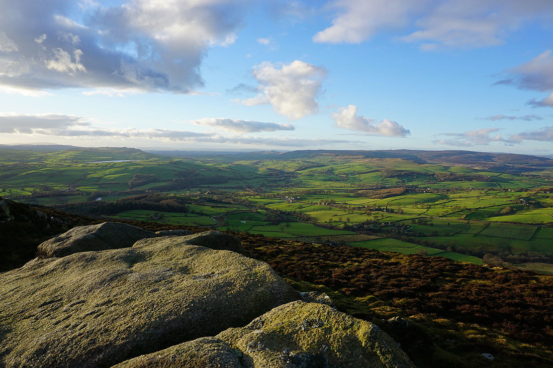
Barden Moor and Barden Fell. I can make out the tops of Buckden Pike and Great Whernside beyond Barden Fell.
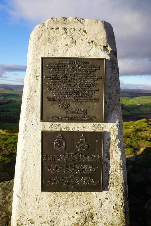
The plaques on the trig point give a bit of information about the hill. The large cairn hides a burial mound from around 4500 years ago and the hilltop was the site of a Napoleonic Beacon. Unfortunately a Lancaster bomber crashed on the south slope of the hill in November 1945. Four of the eight airmen on board didn't make it.
March Ghyll Reservoir, Otley Chevin and Wharfedale to the southeast
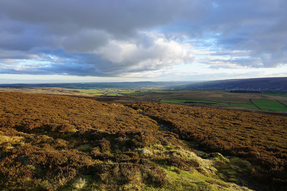
Some small gritstone crags near the summit provide a great spot to take photos from..
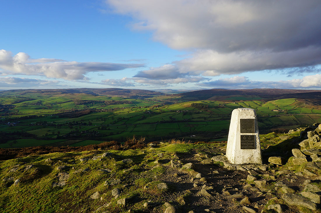
I couldn't resist taking another couple of photos as I pass the trig point to start my descent..
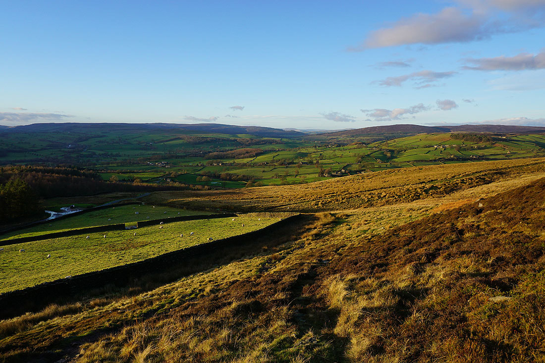
A golden light across Wharfedale as I make my way down to the road below..
A sunlit Beamsley Beacon
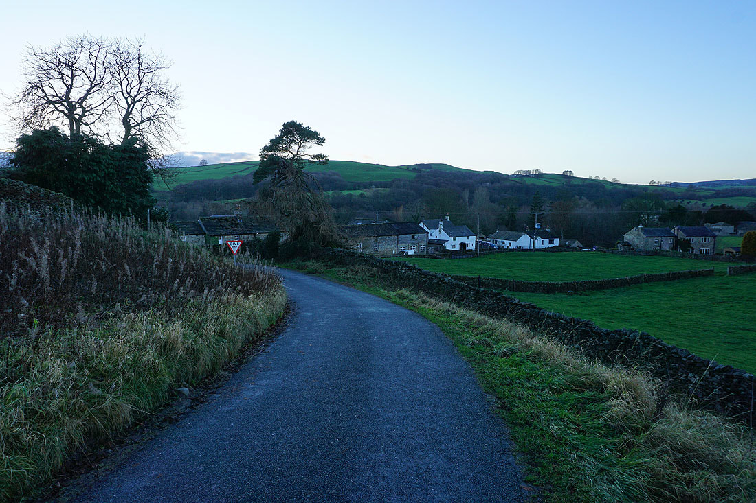
Approaching the village of Beamsley
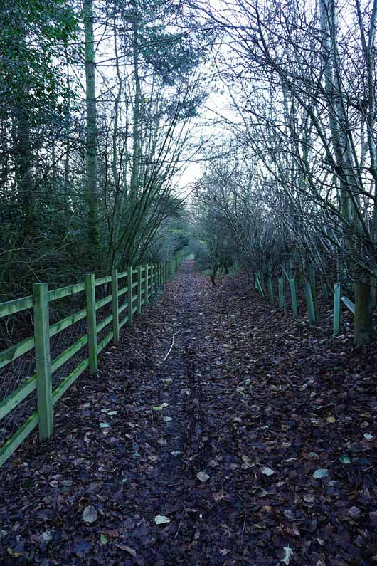
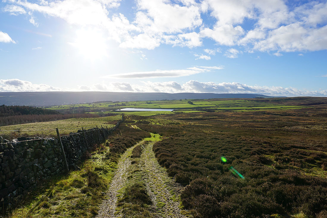
A bridleway to the south of the A59 from Beamsley Lane to the River Wharfe kept me off the road
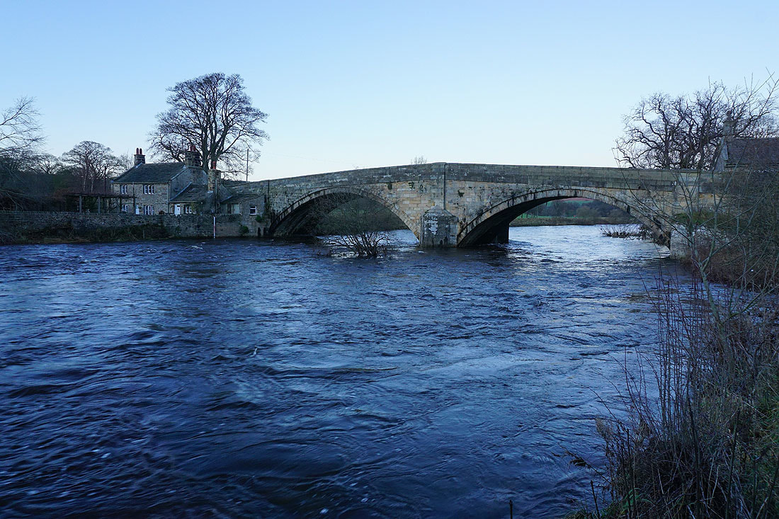
Bolton Bridge
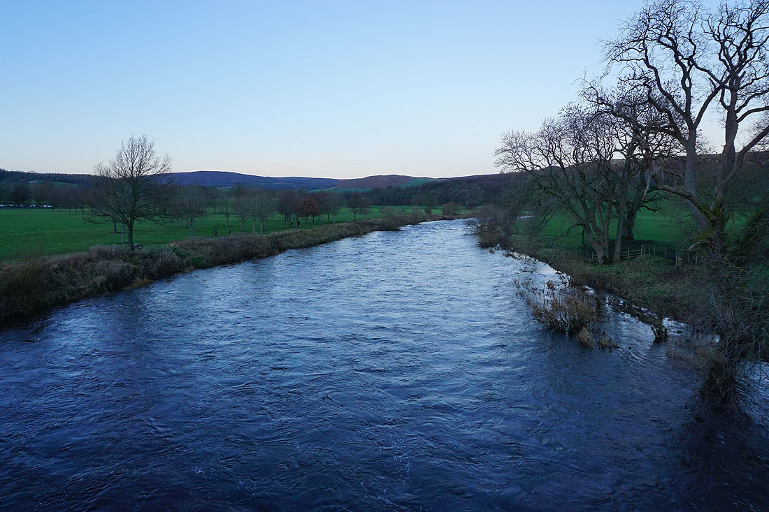
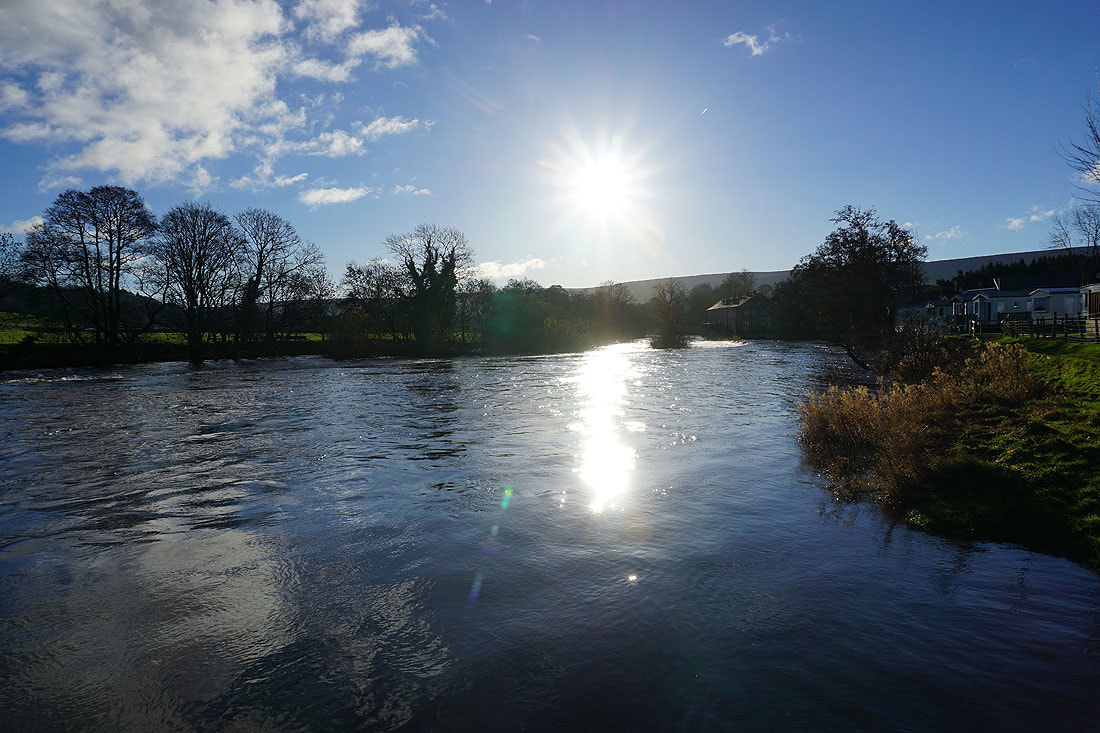
A final shot of the River Wharfe from Bolton Bridge