9th February 2008 - Wild Boar Fell
Walk Details
Distance walked: 7.1 miles
Total ascent: 1627 ft
OS map used: OL19 - Howgill Fells & Upper Eden Valley
Time taken: 5 hrs
Route description: Cotegill Bridge-Ais Gill-Angerholme Pots-High Dolphinsty-The Nab-Wild Boar Fell-Yoadcomb Scar-Swarth Fell-Swarth Fell Pike-Cotegill Bridge
A walk over Wild Boar Fell and Swarth Fell from Mallerstang, my first ever visit to these fells.
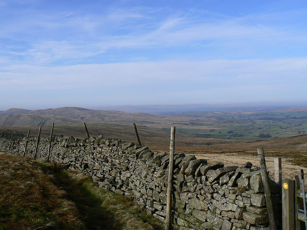
I parked on the verge next to Cotegill Bridge on the B6259. I walked up the road to Aisgill Farm to reach access land. I then made my way under Wild Boar Fell across Mallerstang Common and Angerholme Pots to reach High Dolphinsty. The Nab and the summit of Wild Boar Fell were the next stops. From Wild Boar Fell I walked across to Swarth Fell and Swarth Fell Pike before making a pathless descent back to the road at Aisgill Moor Cottages.
Total ascent: 1627 ft
OS map used: OL19 - Howgill Fells & Upper Eden Valley
Time taken: 5 hrs
Route description: Cotegill Bridge-Ais Gill-Angerholme Pots-High Dolphinsty-The Nab-Wild Boar Fell-Yoadcomb Scar-Swarth Fell-Swarth Fell Pike-Cotegill Bridge
A walk over Wild Boar Fell and Swarth Fell from Mallerstang, my first ever visit to these fells.
I parked on the verge next to Cotegill Bridge on the B6259. I walked up the road to Aisgill Farm to reach access land. I then made my way under Wild Boar Fell across Mallerstang Common and Angerholme Pots to reach High Dolphinsty. The Nab and the summit of Wild Boar Fell were the next stops. From Wild Boar Fell I walked across to Swarth Fell and Swarth Fell Pike before making a pathless descent back to the road at Aisgill Moor Cottages.
Route map
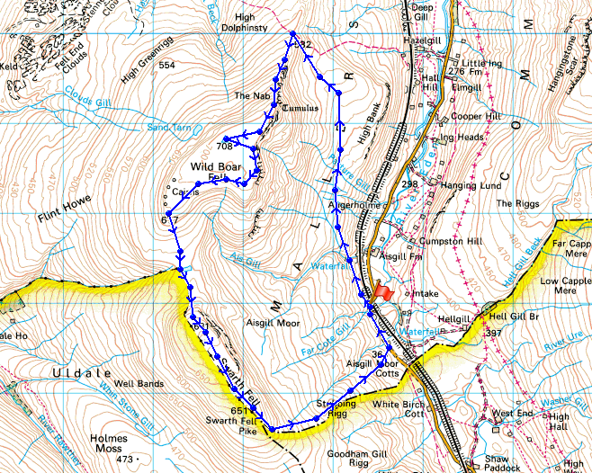
© Crown copyright. All rights reserved. License number PU 100034184.
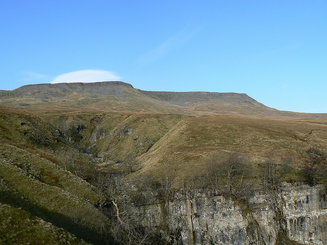
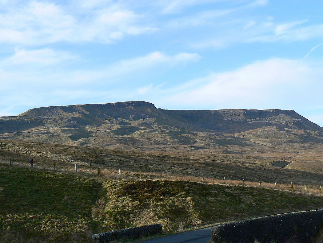
Wild Boar Fell from beside Ais Gill
and High Seat on the other side of Mallerstang
Wild Boar Fell from Angerholme Pots
At High Dolphinsty with part of the Howgills visible on the left
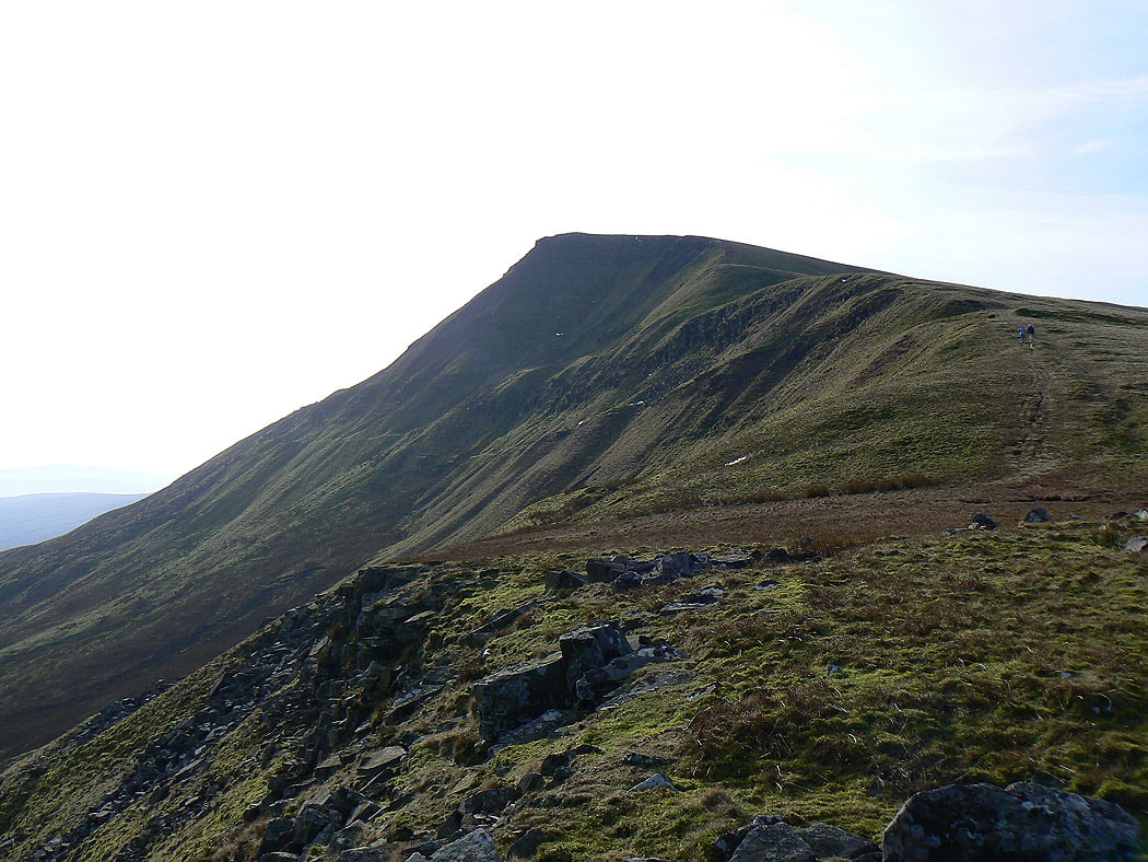
Heading for The Nab
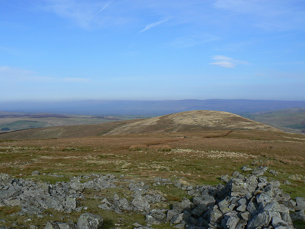
Little Fell
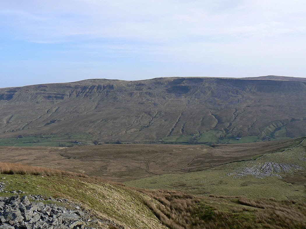
High Seat on the other side of Mallerstang
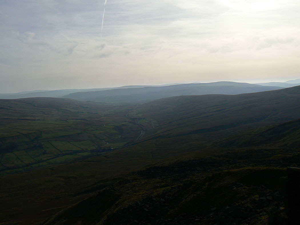
On the Nab with Mallerstang below
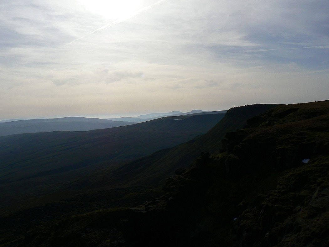
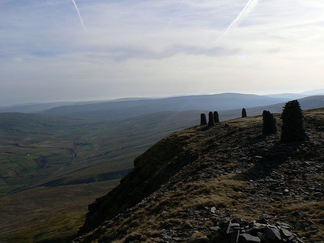
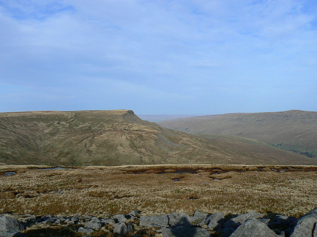
Looking across to the stone men on Yoadcomb Scar with Ingleborough and Whernside in the distance behind
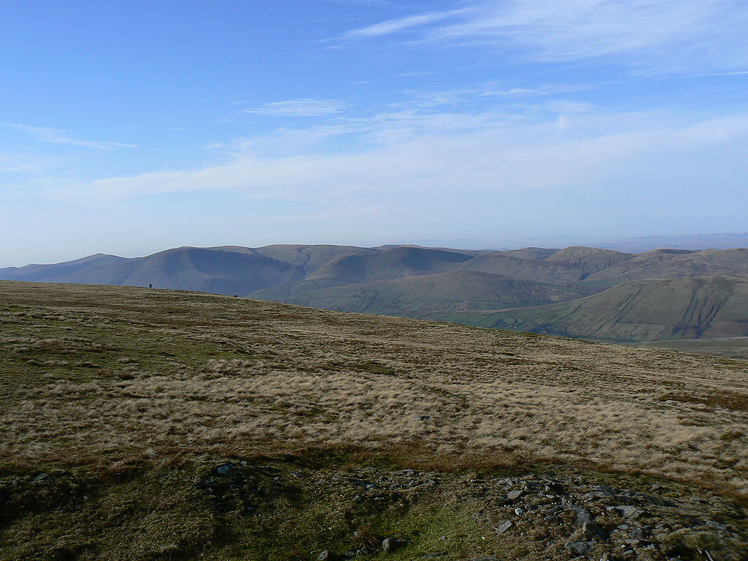
The Howgills from Wild Boar Fell
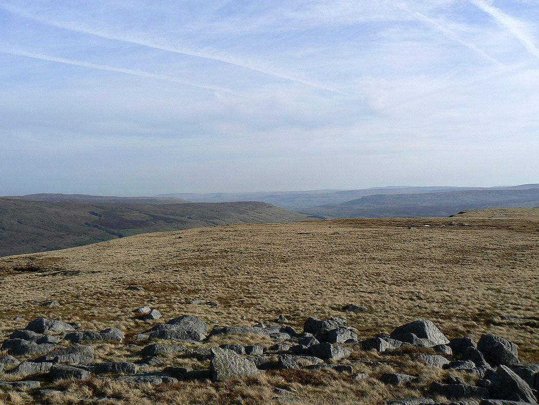
The North Pennines in the distance
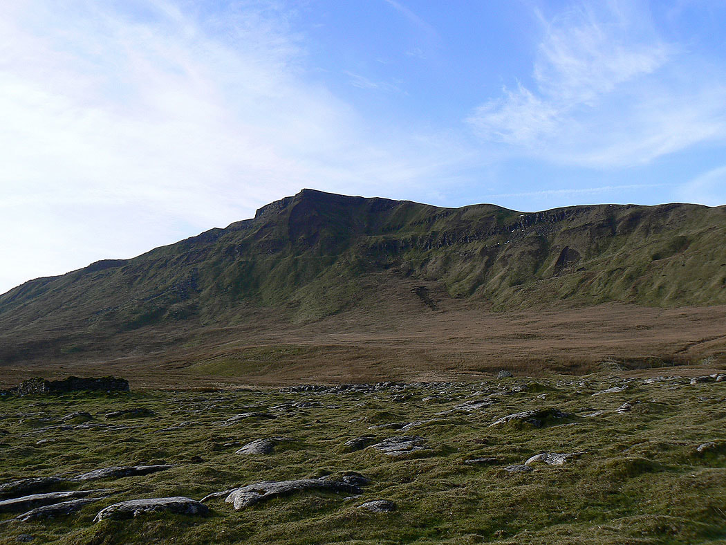
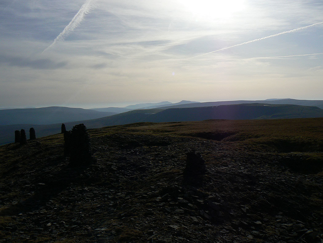
On Yoadcomb Scar
Ingleborough and Whernside from Yoadcomb Scar
The Nab and High Seat
The Howgills as I reach the saddle between Wild Boar Fell and Swarth Fell
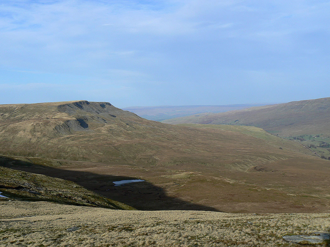
Wild Boar Fell from Swarth Fell
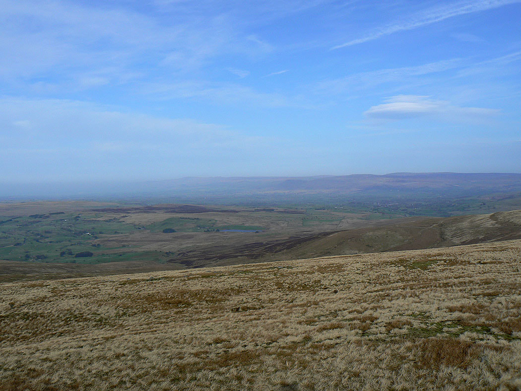
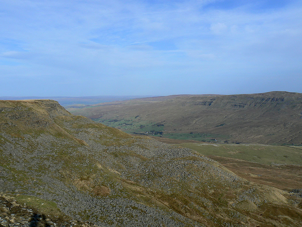
Looking towards Wensleydale
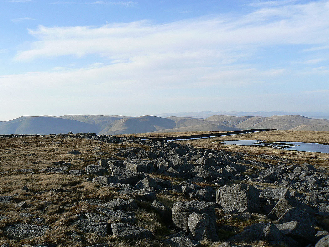
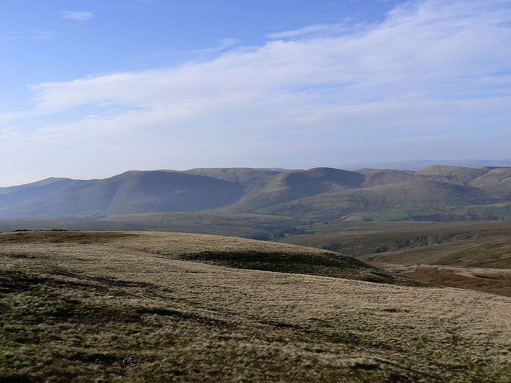
The Howgills from Swarth Fell
Wild Boar Fell as I head downhill
and again from the roadside at Cotegill Bridge