9th July 2022 - Penyghent to Fountains Fell
Walk Details
Distance walked: 13.9 miles
Total ascent: 2720 ft
OS map used: OL2 - Yorkshire Dales, Southern & Western areas and OL30 - Yorkshire Dales, Northern & Central areas
Time taken: 8 hrs
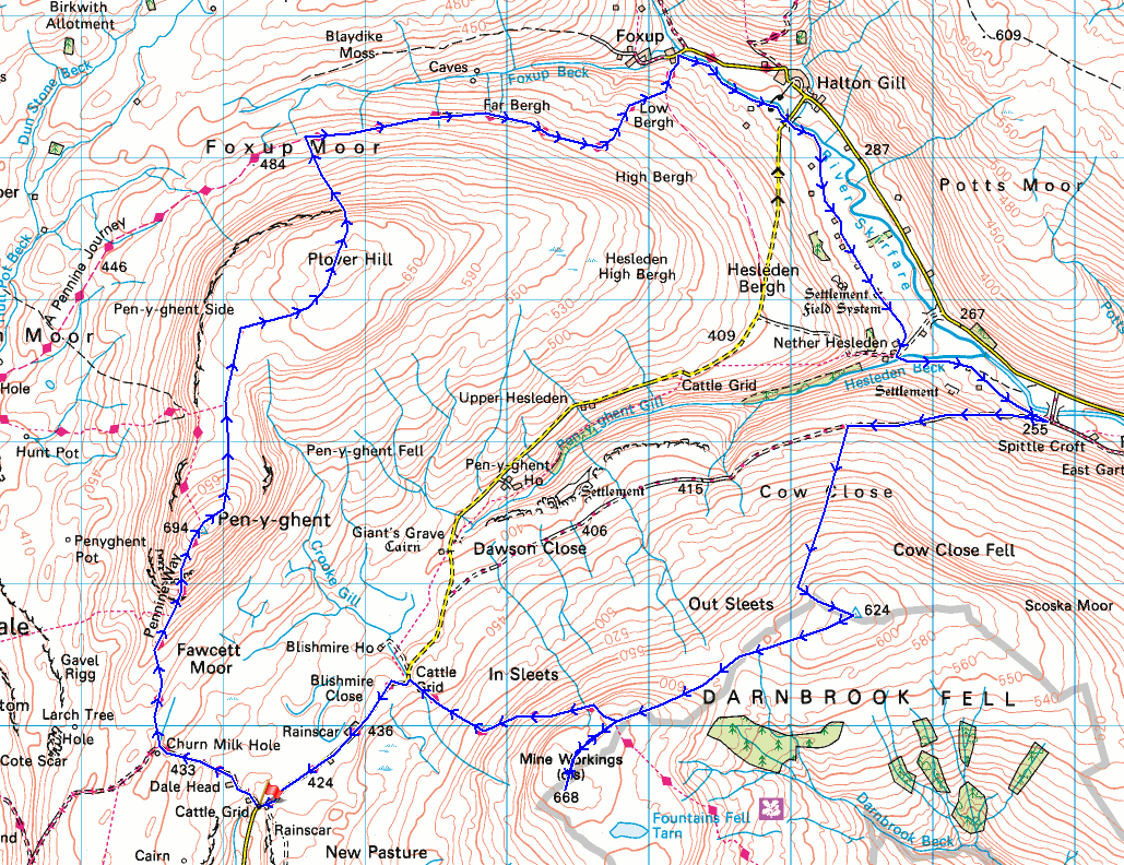
Route description: Dale Head, Silverdale Road-Pennine Way-Penyghent-Plover Hill-Foxup Moor-Foxup-Halton Gill-Nether Hesleden-New Bridge-Cow Close-Darnbrook Fell-Fountains Fell-Pennine Way-Dale Head, Silverdale Road
I had a beautiful summer's day for tackling this walk in the Yorkshire Dales, which is what I'd hoped for given the route that I was undertaking. There aren't many 2000ft tops in the Dales that I haven't visited, and before today Darnbrook Fell was one of them. Given that I'd walked across the surrounding fells many times it's a bit surprising that it's taken me so long to finally get around to bagging it. I suspect its location on access land with no public footpath across it had put me off, and the expectation of having boggy ground to negotiate. A post on another website, Masarnen Ramblers, had shown me a route onto it that linked up with Fountains Fell, and the walk that I did today was a slightly shorter version of this. I enjoyed blue skies and sunshine with just a few fair weather clouds from start to finish, on what turned out to be a very warm summer's day, which thankfully also had a breeze up on the moors, and with great visibility there were long distance views to take in.
After parking at the top of the road up Silverdale to Halton Gill I took the Pennine Way and followed it past Dale Head Farm and then up to the trig point and summit of Penyghent. From there I made my way north across the moor to Plover Hill, and after a brief stop for a break and to take in the view, I descended the path on the northern slope of the hill to the bridleway across Foxup Moor. This bridleway then took me east to Foxup in Littondale, from where a footpath by the River Skirfare was followed to Halton Gill Bridge. After a lunch stop under the shade of a tree in Halton Gill I returned to Halton Gill Bridge and took the footpath down Littondale to Nether Helseden, then from there across Hesleden Beck and to New Bridge. Just before reaching New Bridge the footpath joins the byway across the hillsides of Cow Close and Dawson Close up to the Halton Gill to Silverdale Road. I took this and followed it uphill until I reached the point where the wall on my left ended on the hillside of Cow Close, then made my way up access land to reach the trig point on the top of Darnbrook Fell. The wall was then followed across the moor from Darnbrook Fell to Fountains Fell, and after taking in the view from the summit cairn of Fountains Fell and those on the northern edge of the summit I took the Pennine Way west down to the Halton Gill to Silverdale Road. A walk south along the road took me back to where I'd parked my car.
Route map
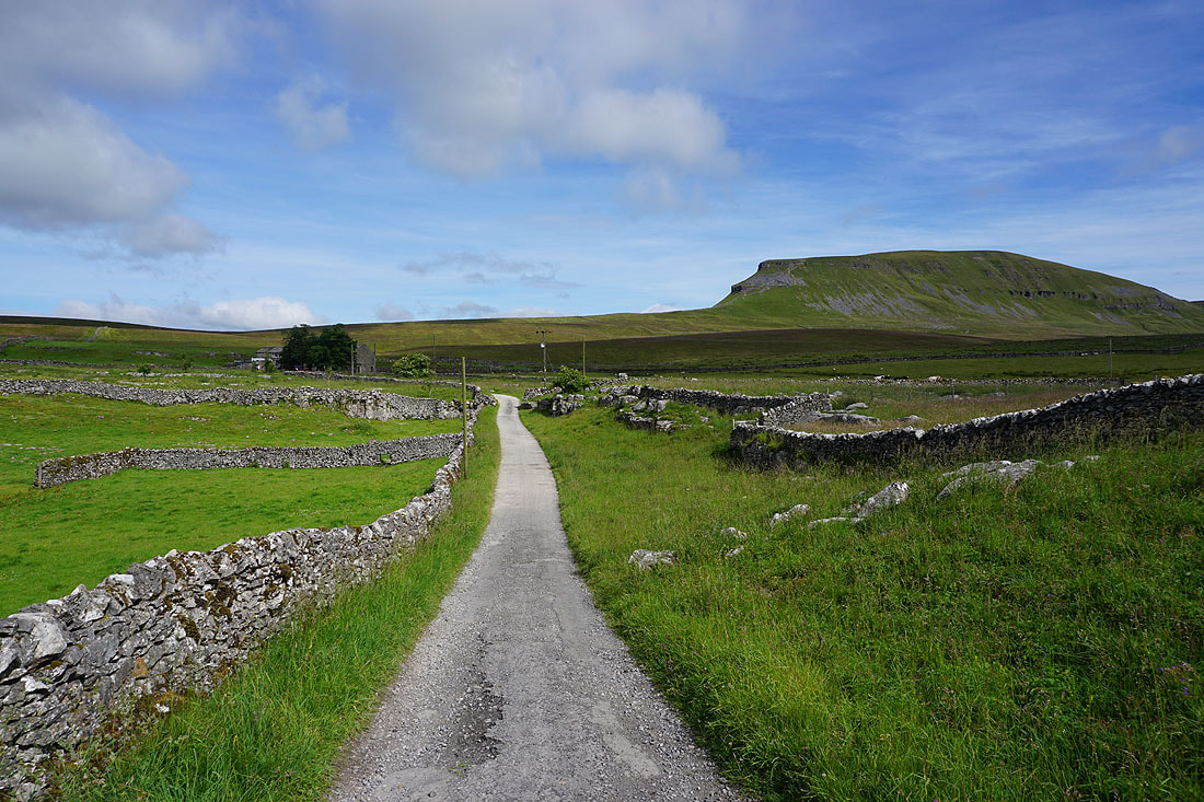
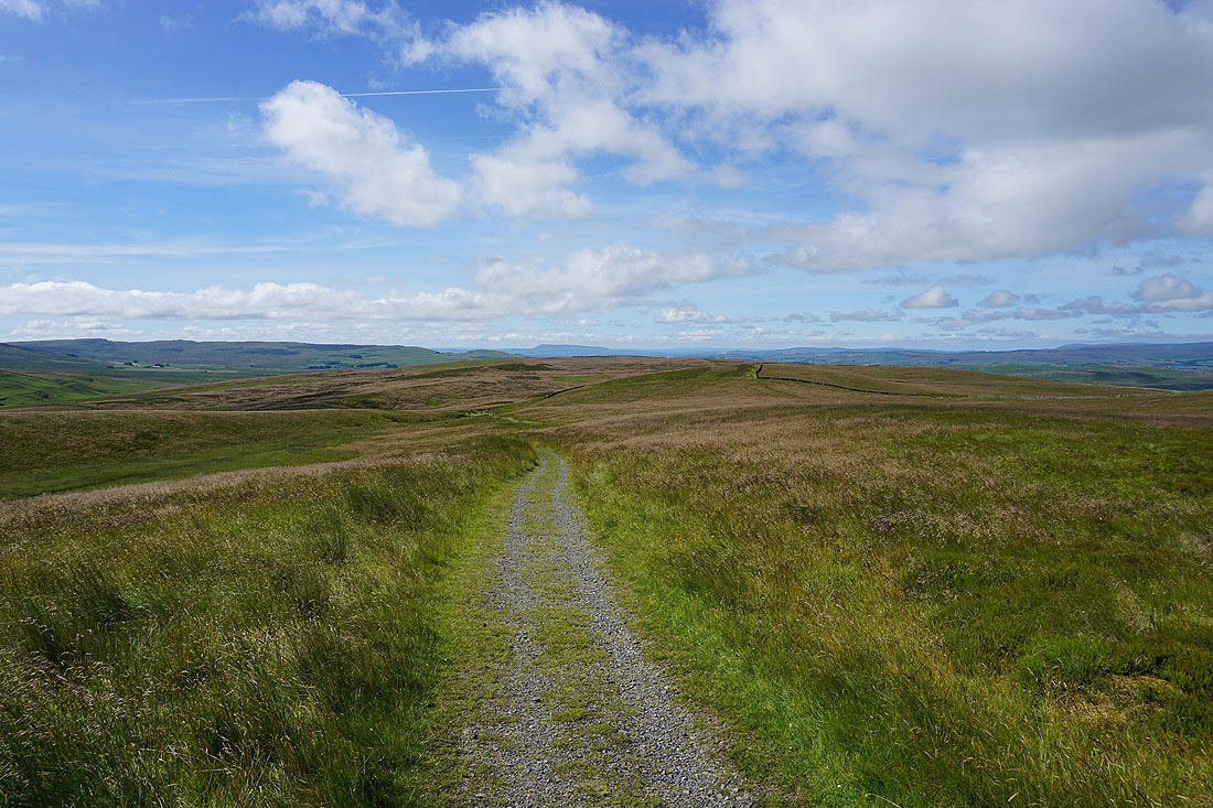
Setting off from the top of the Silverdale Road I take the Pennine Way past Dale Head Farm and onwards to Penyghent..
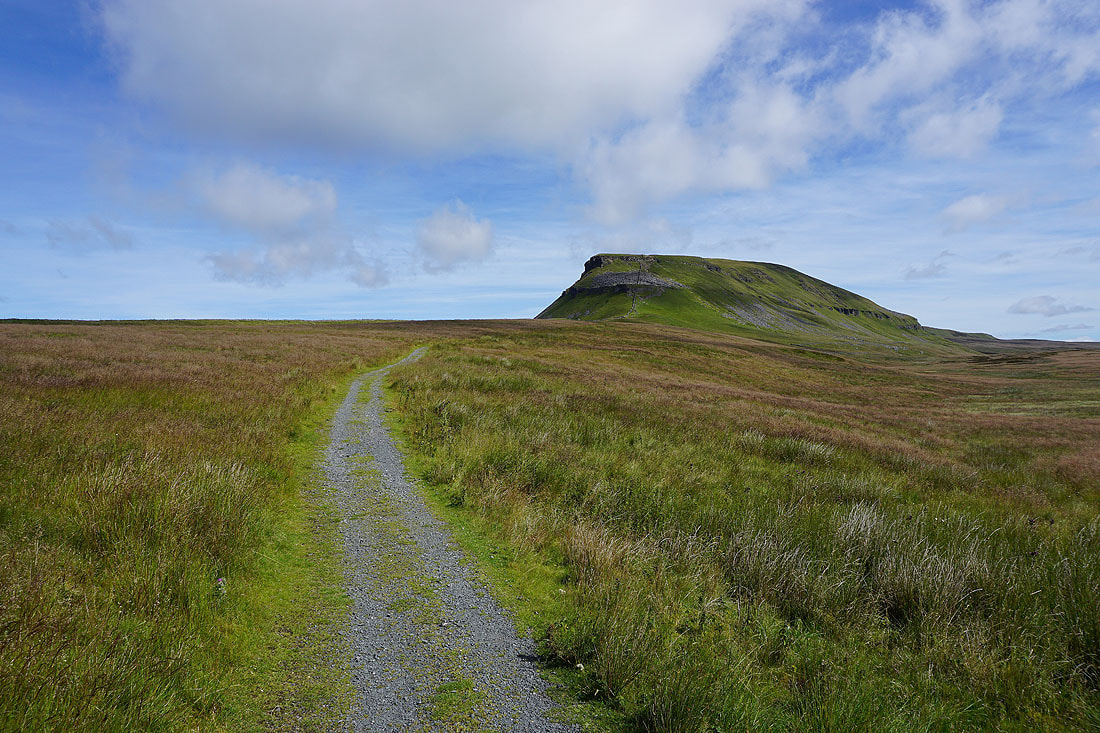
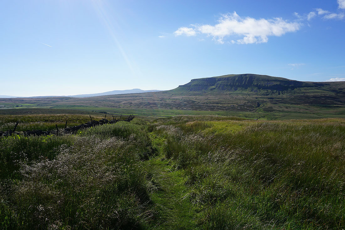
Looking across to Fountains Fell. I'll be making my way down from there on the Pennine Way at the end of the afternoon.
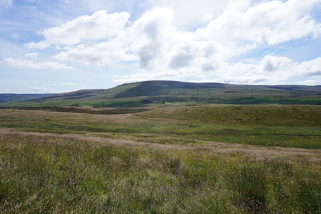
Pendle Hill in the distance
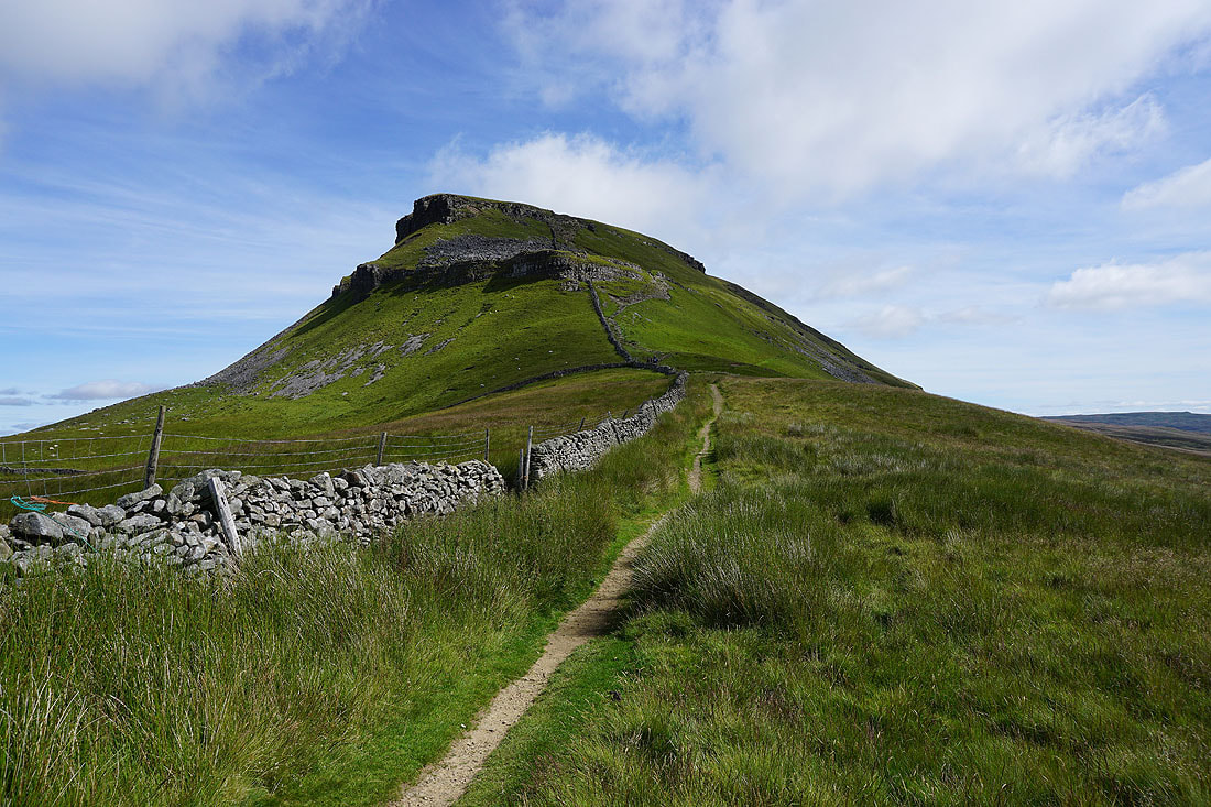
The steep climb up Penyghent awaits
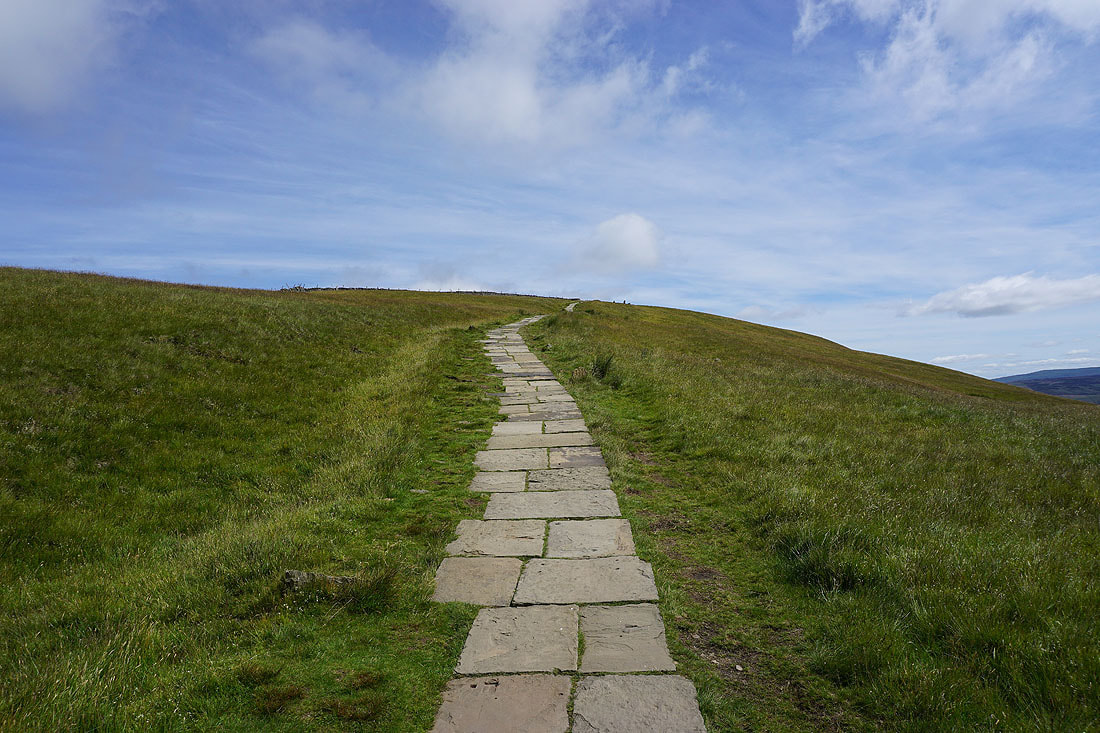
A flagged path for the final approach to the summit
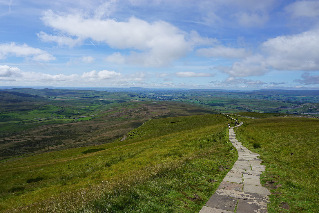
Looking back and I have a great view down Ribblesdale to a distant Pendle Hill
On the summit of Penyghent. Ingleborough and Whernside on the other side of Ribblesdale.
Whernside, the Howgills, Baugh Fell, Great Knoutberry Hill, Cam Fell, and Dodd Fell Hill in the distance to the northwest and north
The broad expanse of Plover Hill lies just to the north. Time I was making tracks towards it.
A last look back to the trig point and summit..
..as I follow the wall north to Plover Hill
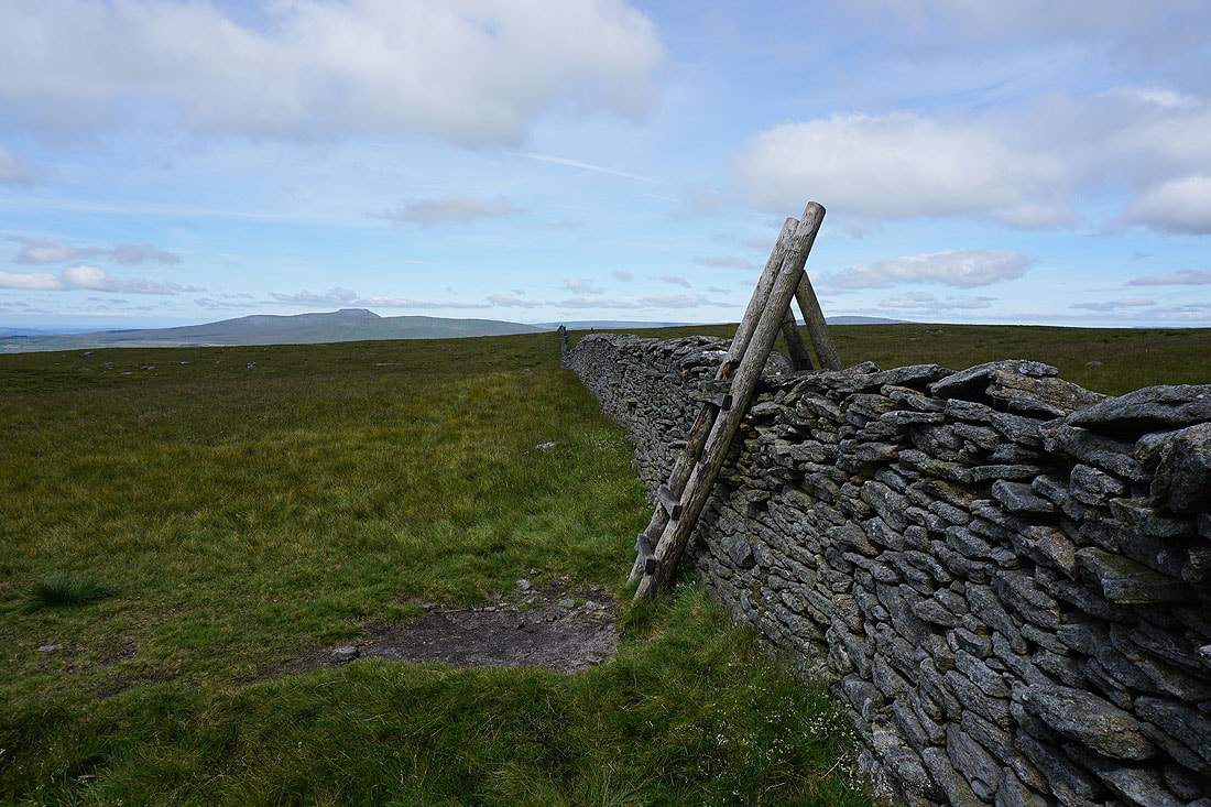
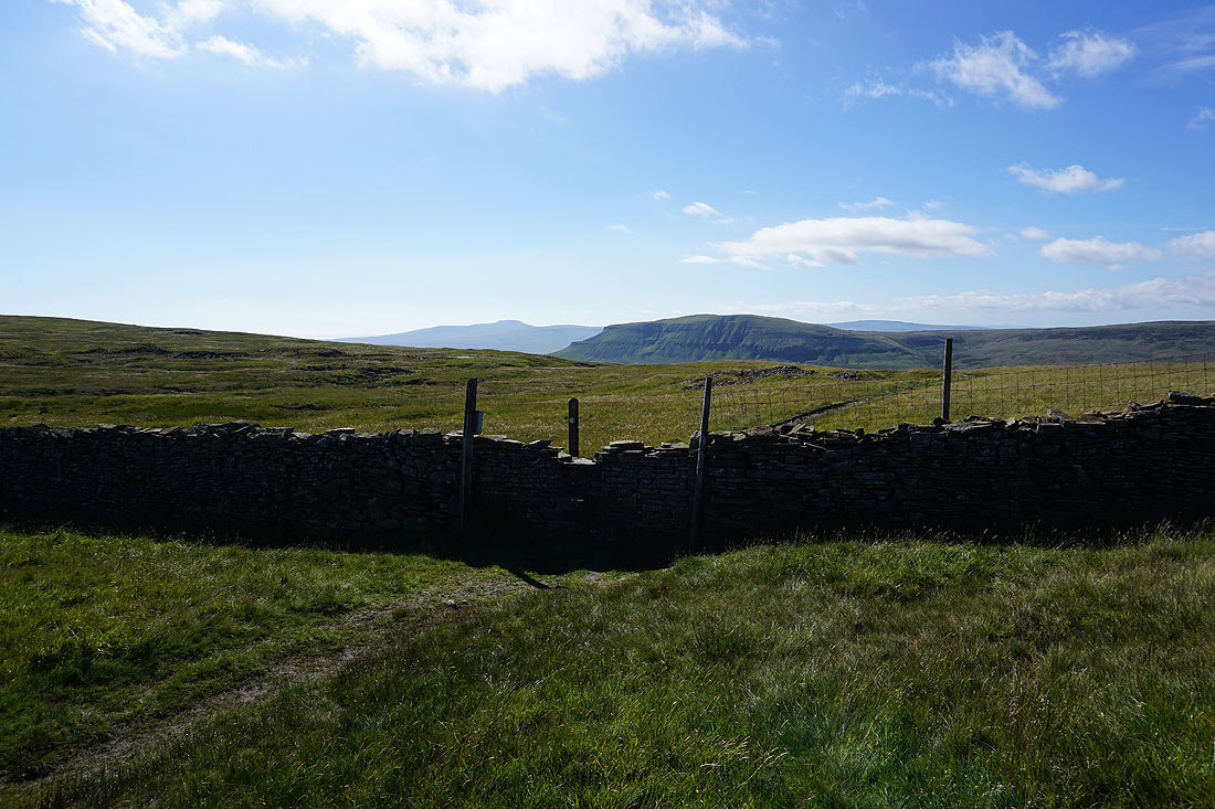
A stile to cross with a view of Ingleborough. One of the rungs is missing, which made climbing it a bit of a stretch.
Looking back to Penyghent
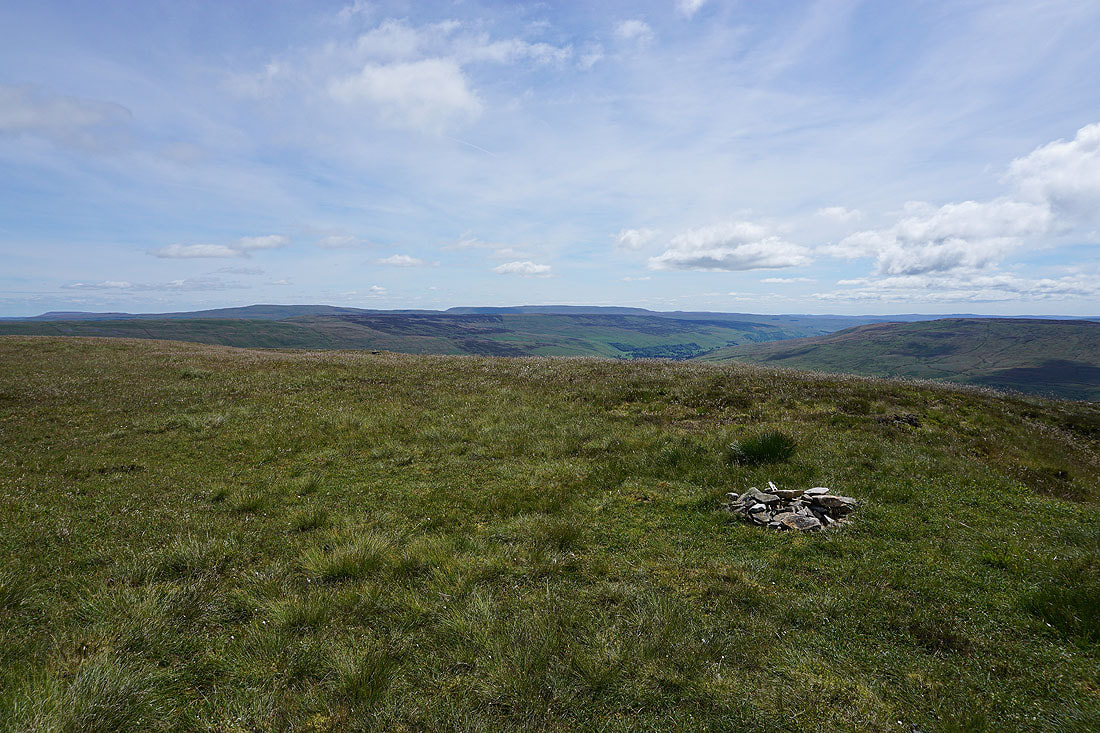
A small cairn marks the top of Plover Hill
Looking down into Littondale with Old Cote Moor Top on the left and Darnbrook Fell on the right
Pendle Hill in the distance between Fountains Fell and Penyghent
Heading back to the path down to Foxup Moor and I have great views to the northwest to Whernside, the Howgills, Baugh Fell, Great Knoutberry Hill, Wild Boar Fell and Dodd Fell Hill...
Ingleborough and Whernside in the distance as I descend Plover Hill to the bridleway on Foxup Moor
Onto the bridleway and I'll follow it east to the hamlet of Foxup in Littondale..
The hamlets of Foxup and Halton Gill in Littondale with Horse Head Moor above
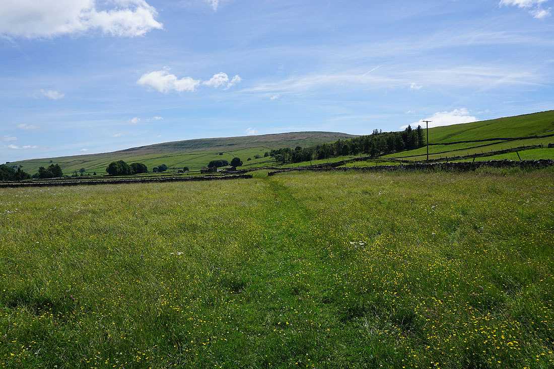
Following the bridleway down to Foxup. It's turned out to be a lovely summer's day....
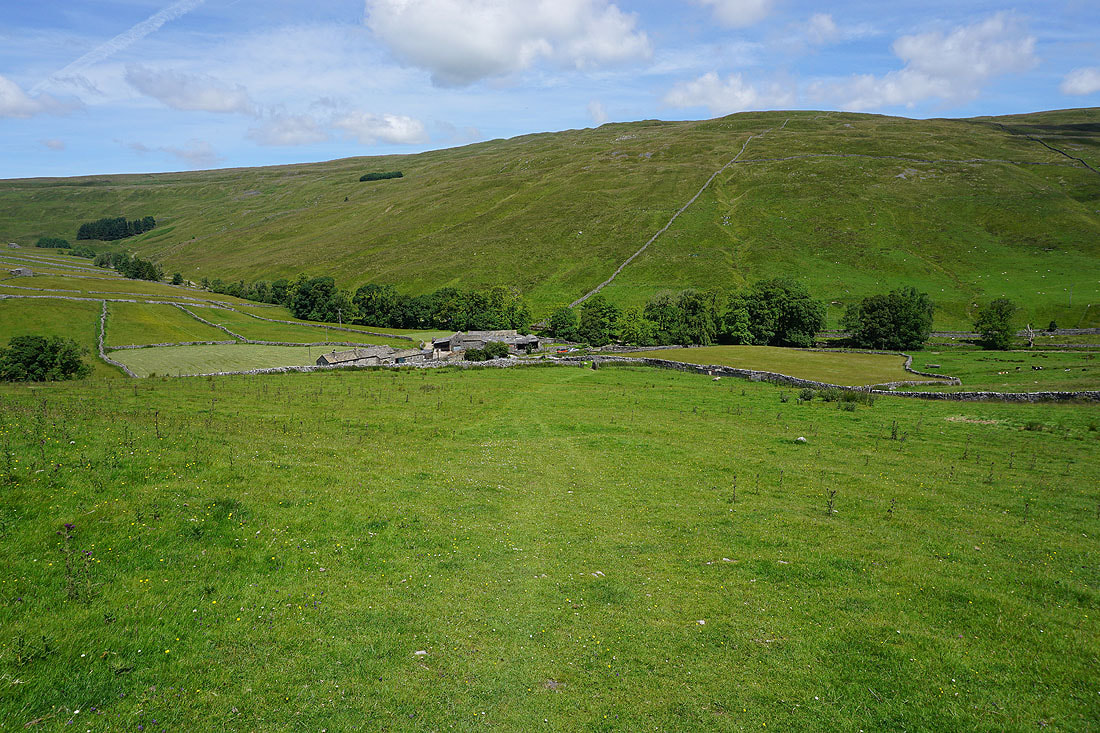
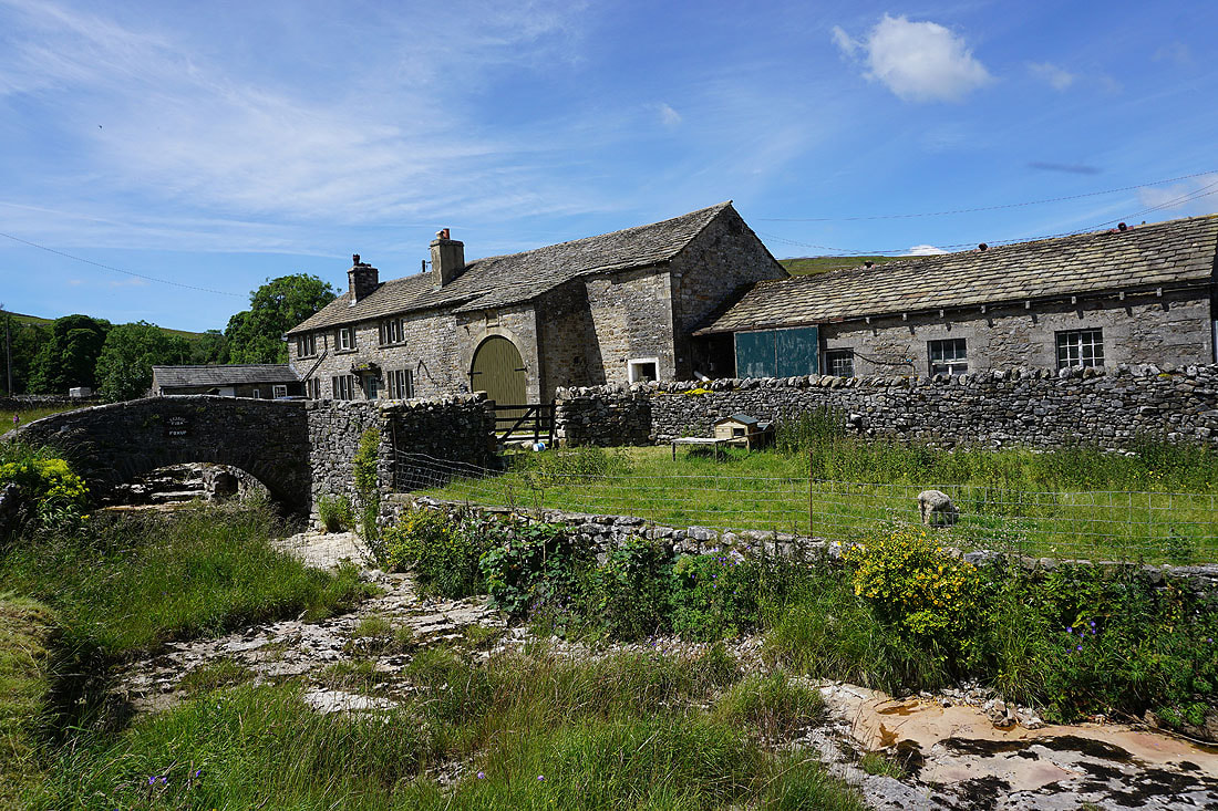
At Bridge Farm in Foxup
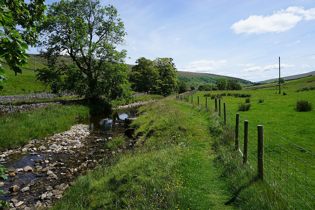
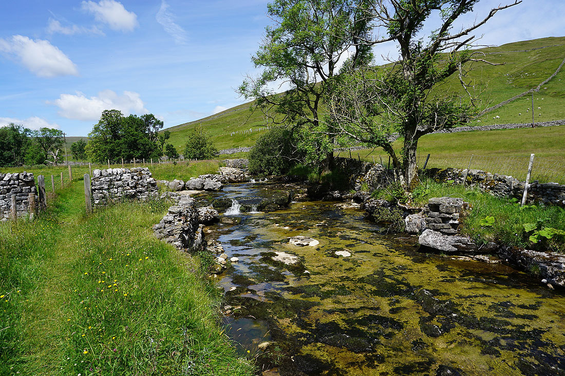
From Foxup I follow the footpath by the River Skirfare to Halton Gill Bridge.....
Heading for Halton Gill. I'm going to find a bit of shade under a tree for my lunch break.
Break had, time to get a move on. Crossing the River Skirfare by Halton Gill Bridge.
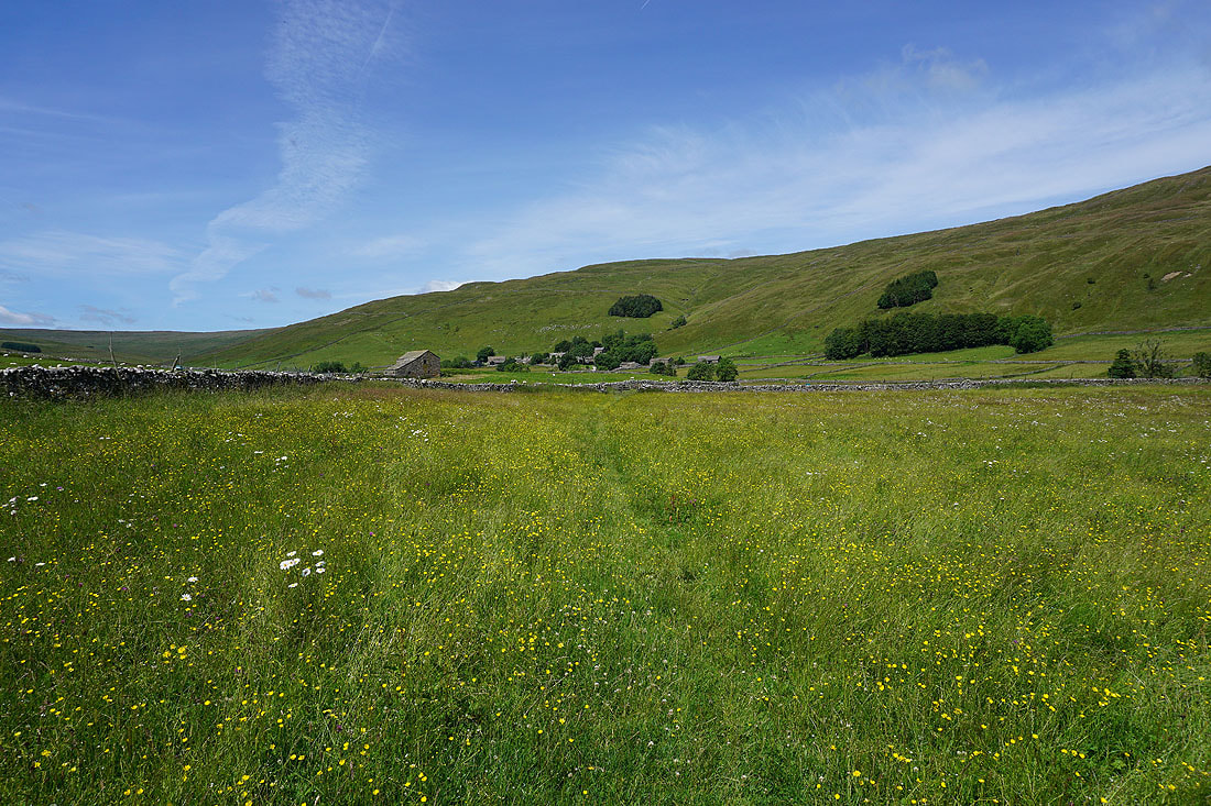
From Halton Gill Bridge I take the footpath down Littondale to Nether Hesleden
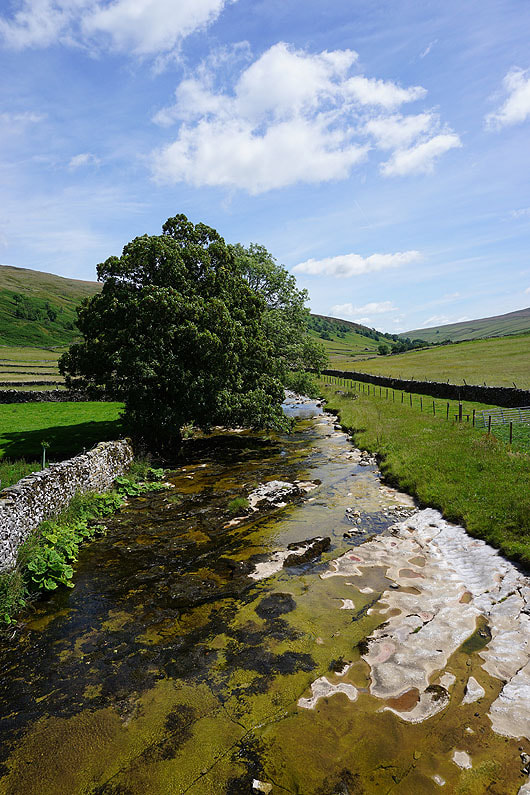
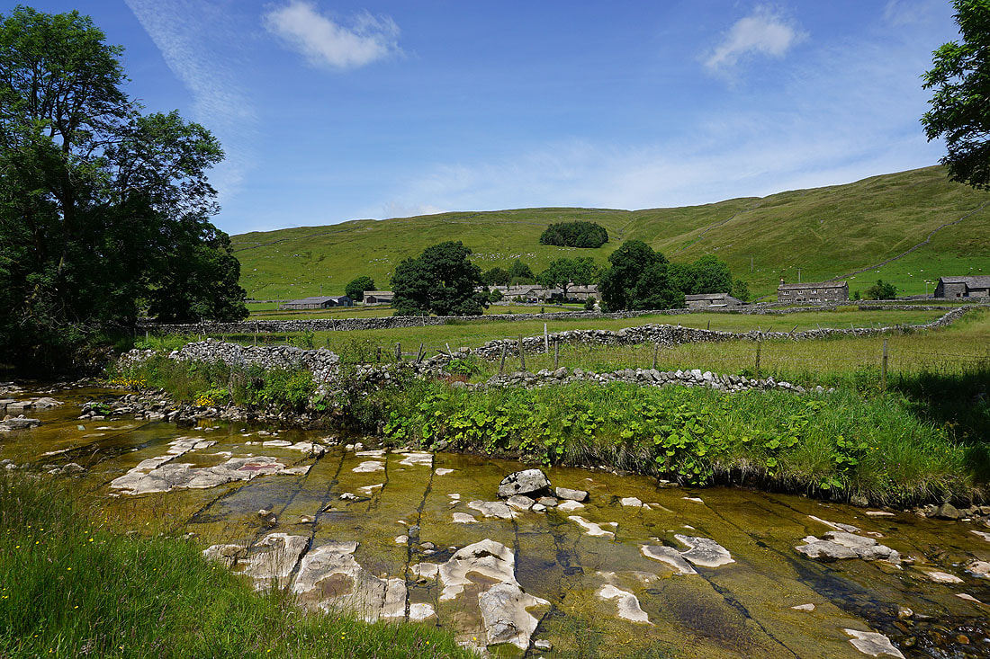
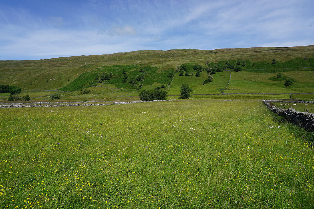
Looking across the River Skirfare to Halton Gill
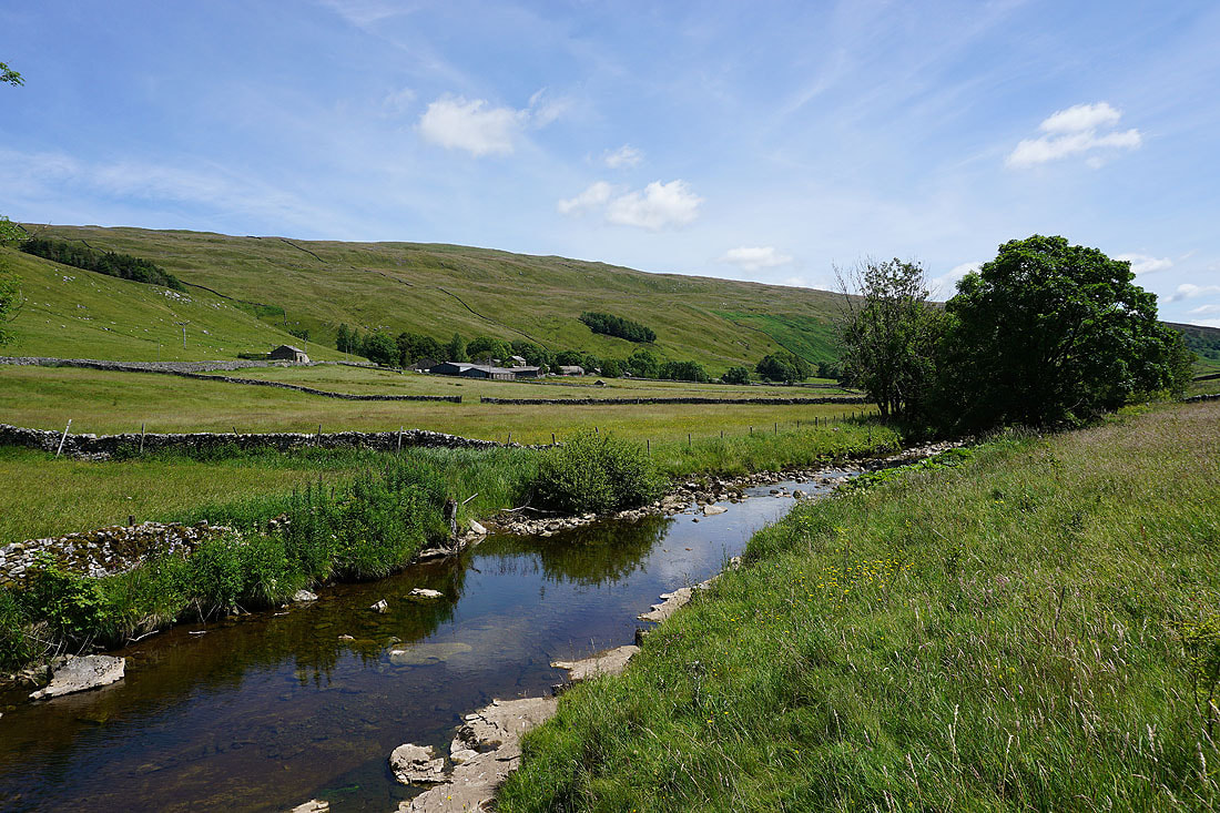
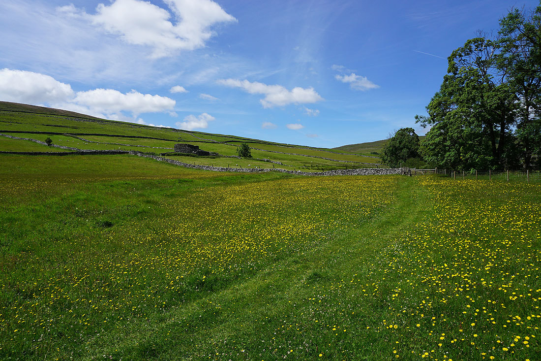
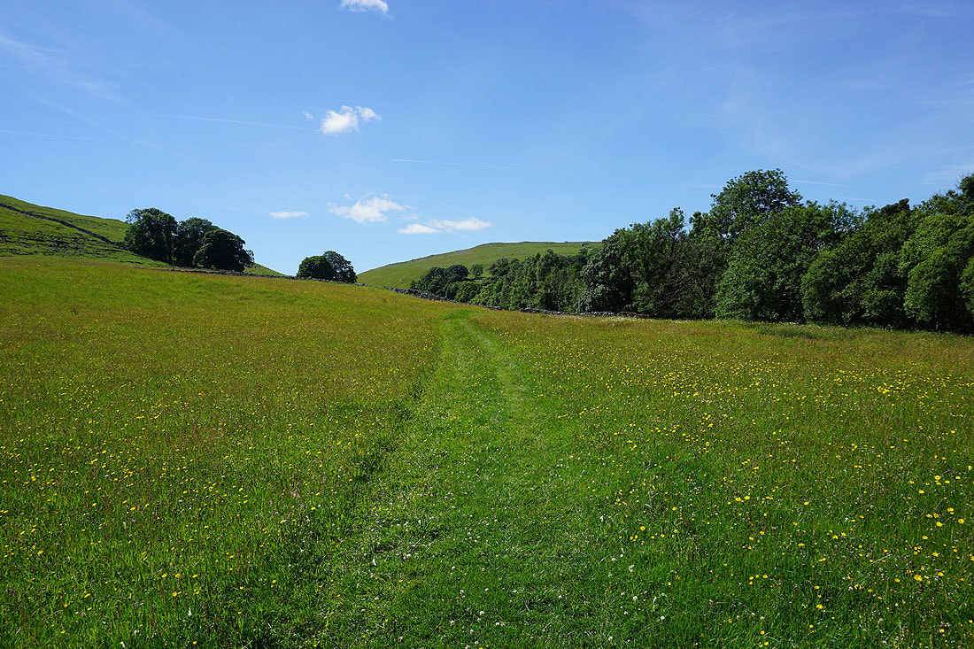
It's a beautiful summer's afternoon in Littondale....
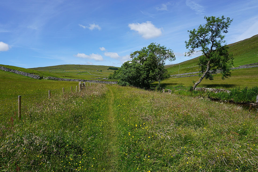
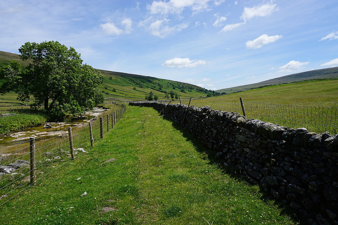
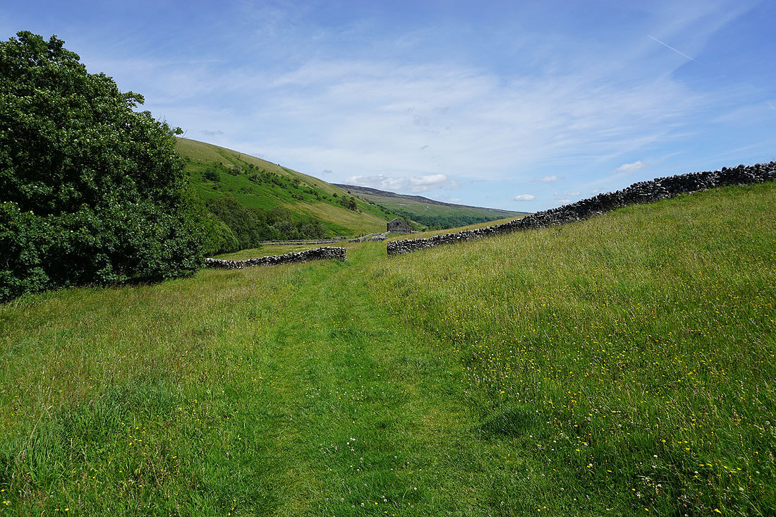
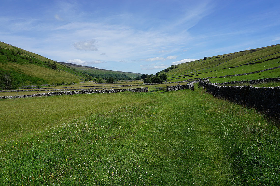
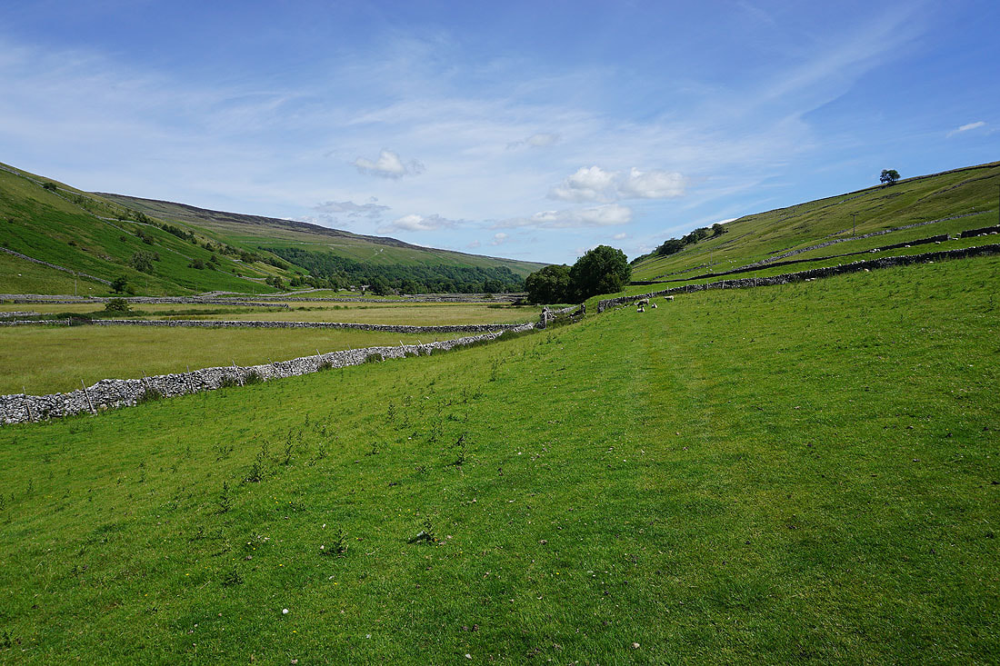
From Nether Hesleden I follow the footpath down Littondale towards Litton and New Bridge....
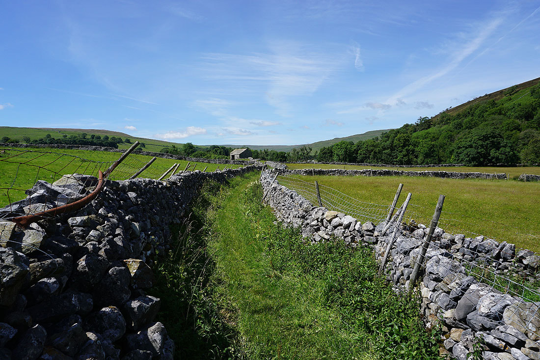
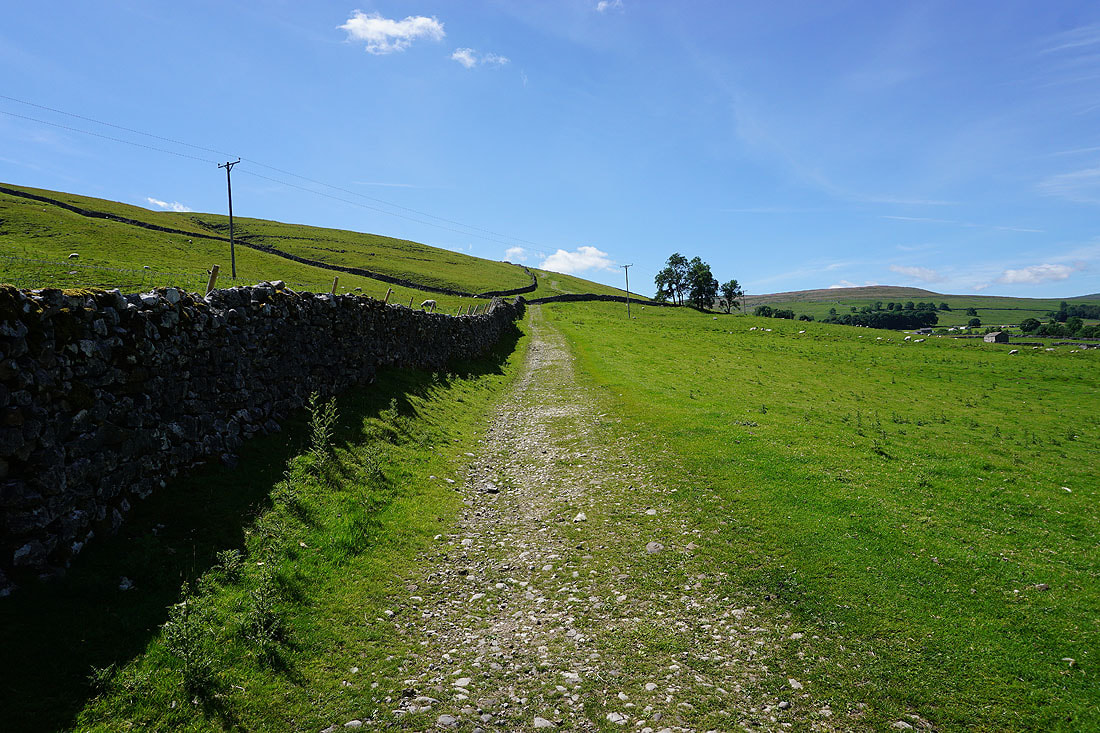
Approaching New Bridge and when I reach those trees just ahead I'll leave this footpath for the bridleway that heads up the hillside on the right
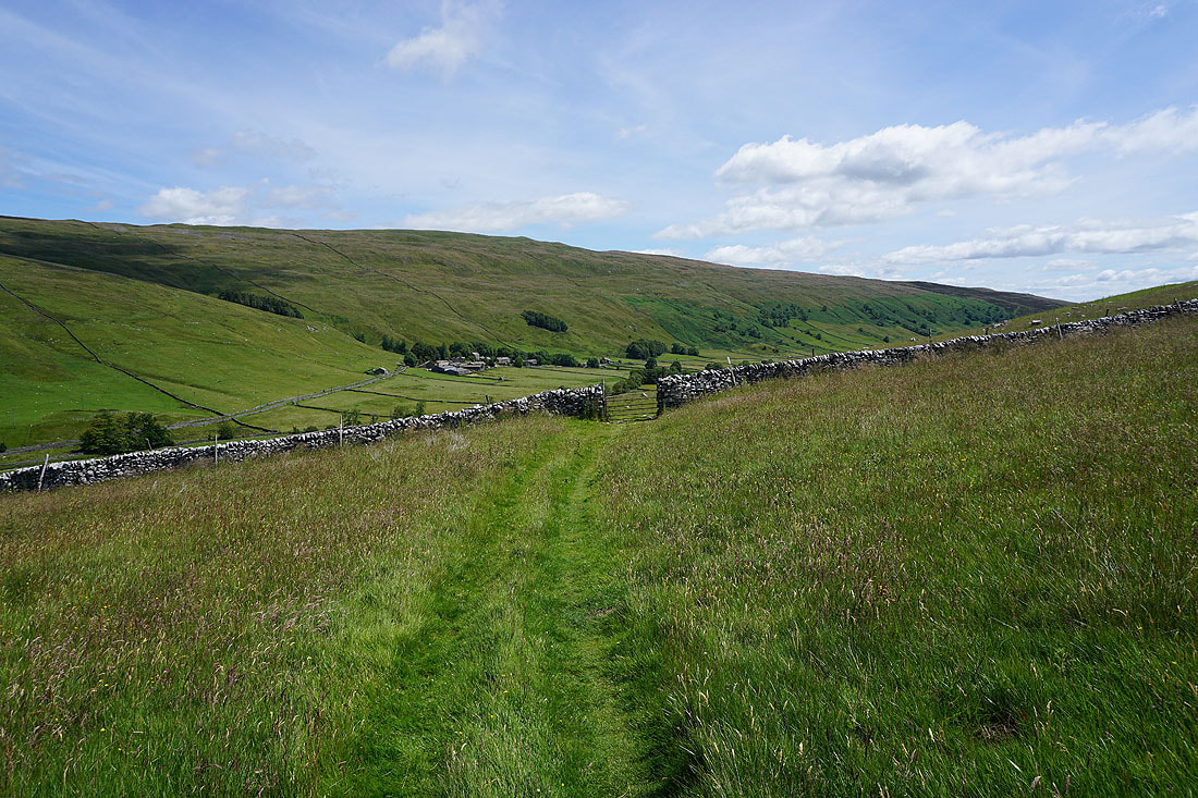
Taking the bridleway up onto the hillside of Cow Close
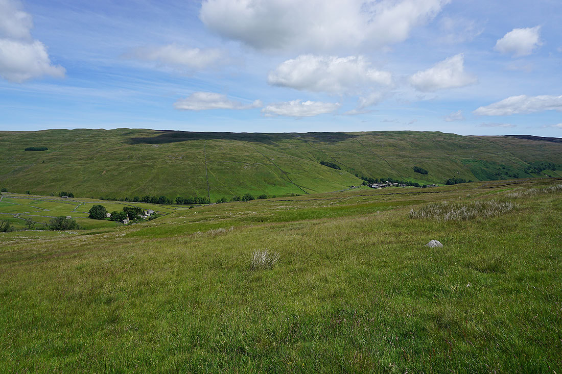
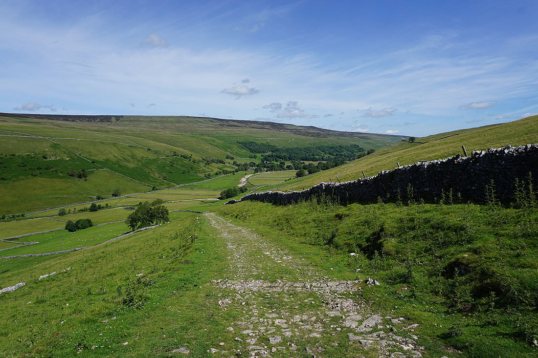
I soon have a great view of Littondale. Looking down the dale towards Litton..
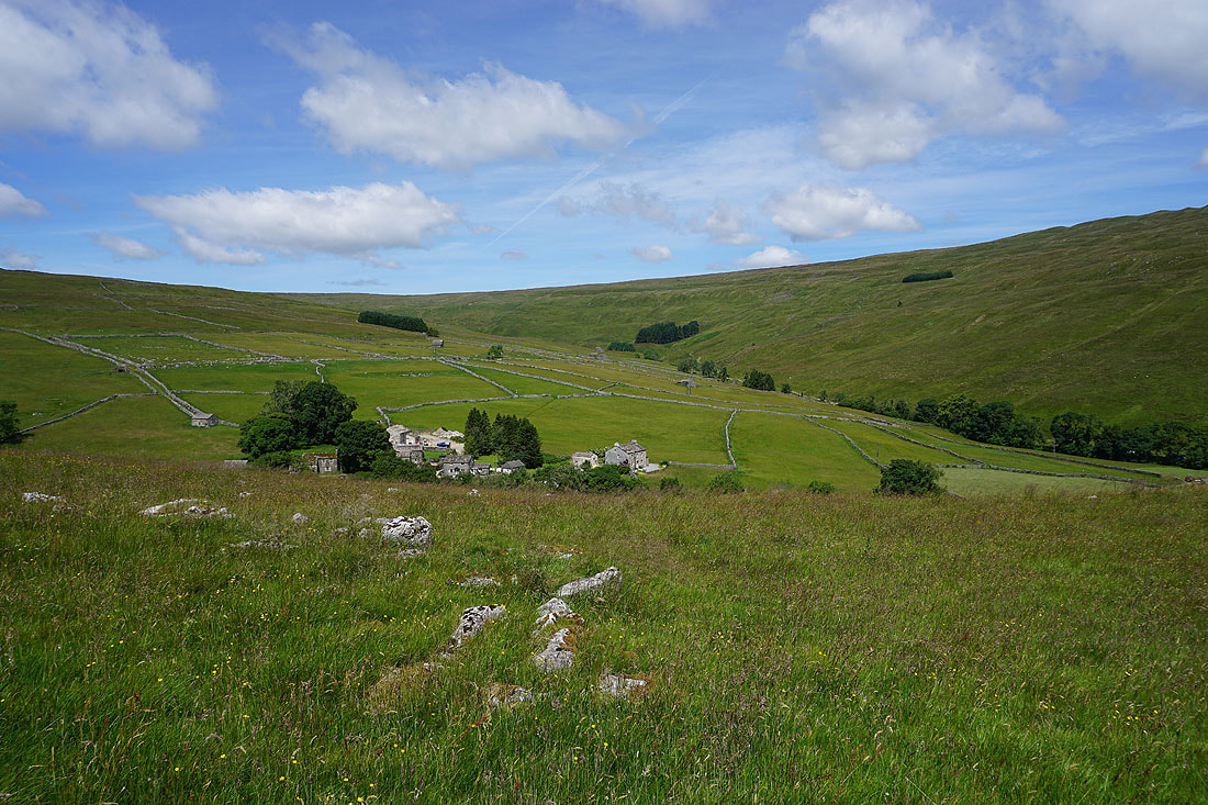
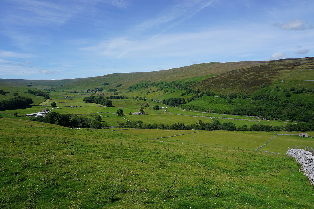
..and up the dale towards Halton Gill
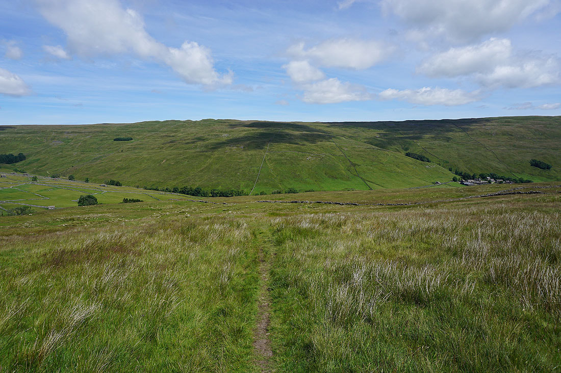
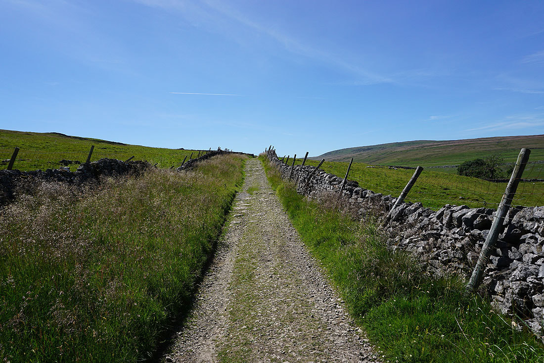
Heading up the bridleway and I need to pick my spot to leave it for access land on the left
Off the bridleway and making my way up to the top of Darnbrook Fell
Looking back down into Littondale
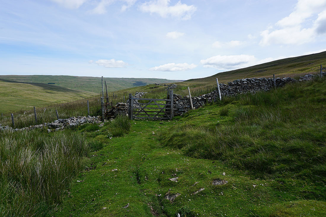
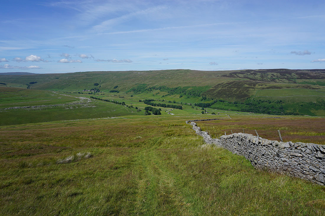
Conditions underfoot are pretty good with not much rain recently, but I will need to find a gap in the wall that I can see up ahead
Looking across Penyghent Gill to Penyghent and Plover Hill as I near the top of Darnbrook Fell
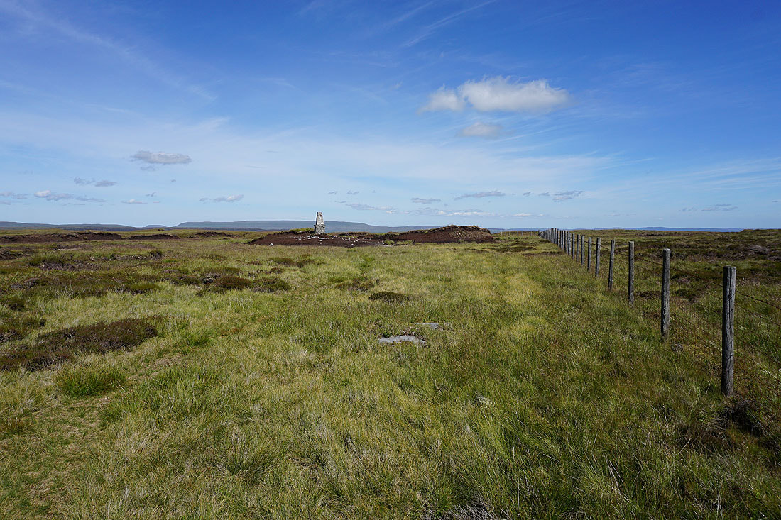
Approaching the trig point on Darnbrook Fell and I'm finally going to bag it. Erosion of the surrounding peat has left it standing proud, but I can still reach it's top.
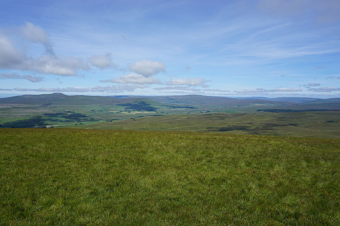
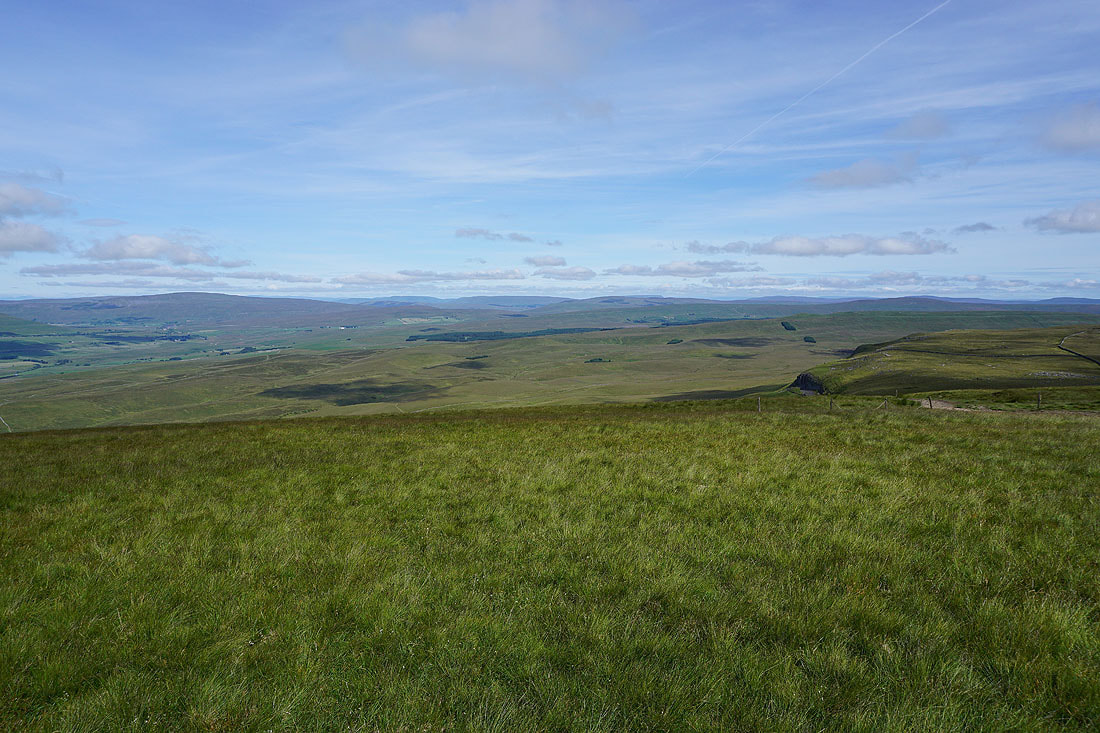
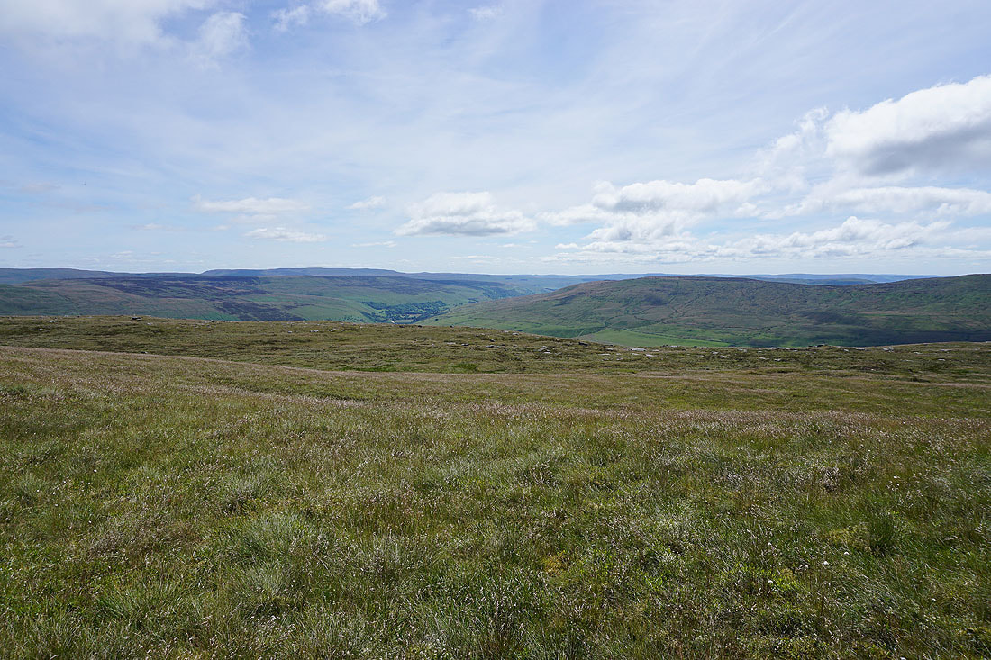
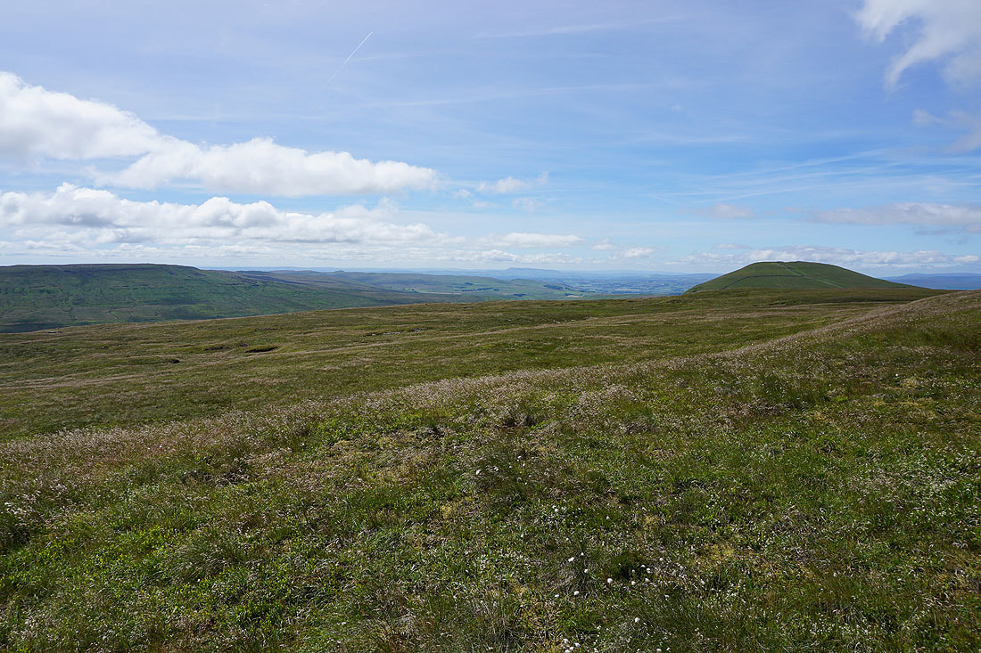
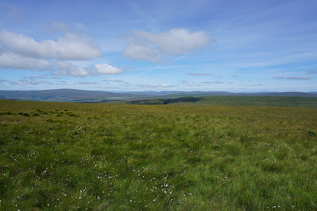
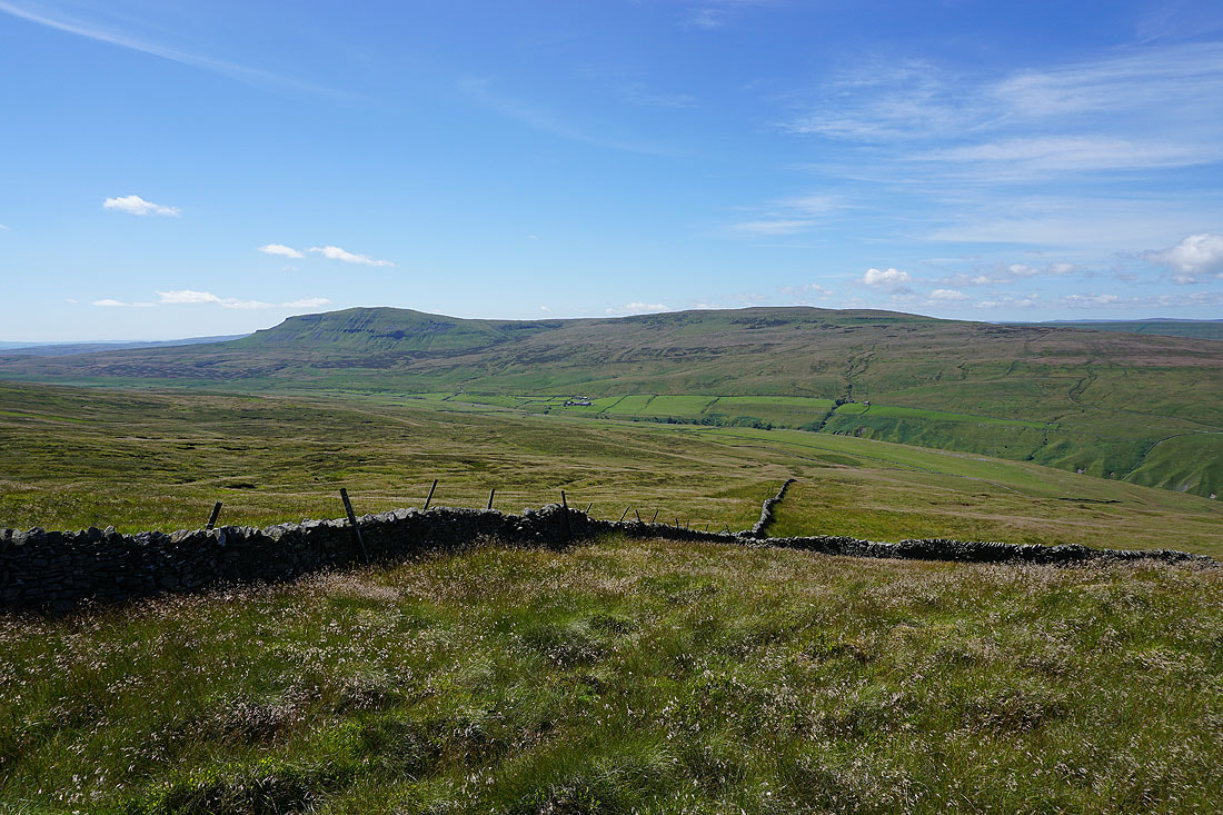
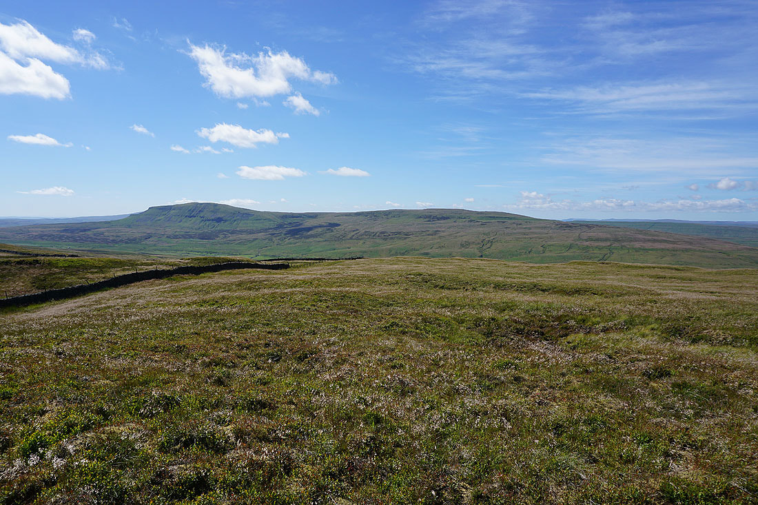
The view from the trig point isn't up to much with the surrounding moor being so flat, so I've made my way back to the top of my route of ascent to take in Penyghent and Plover Hill to the west..
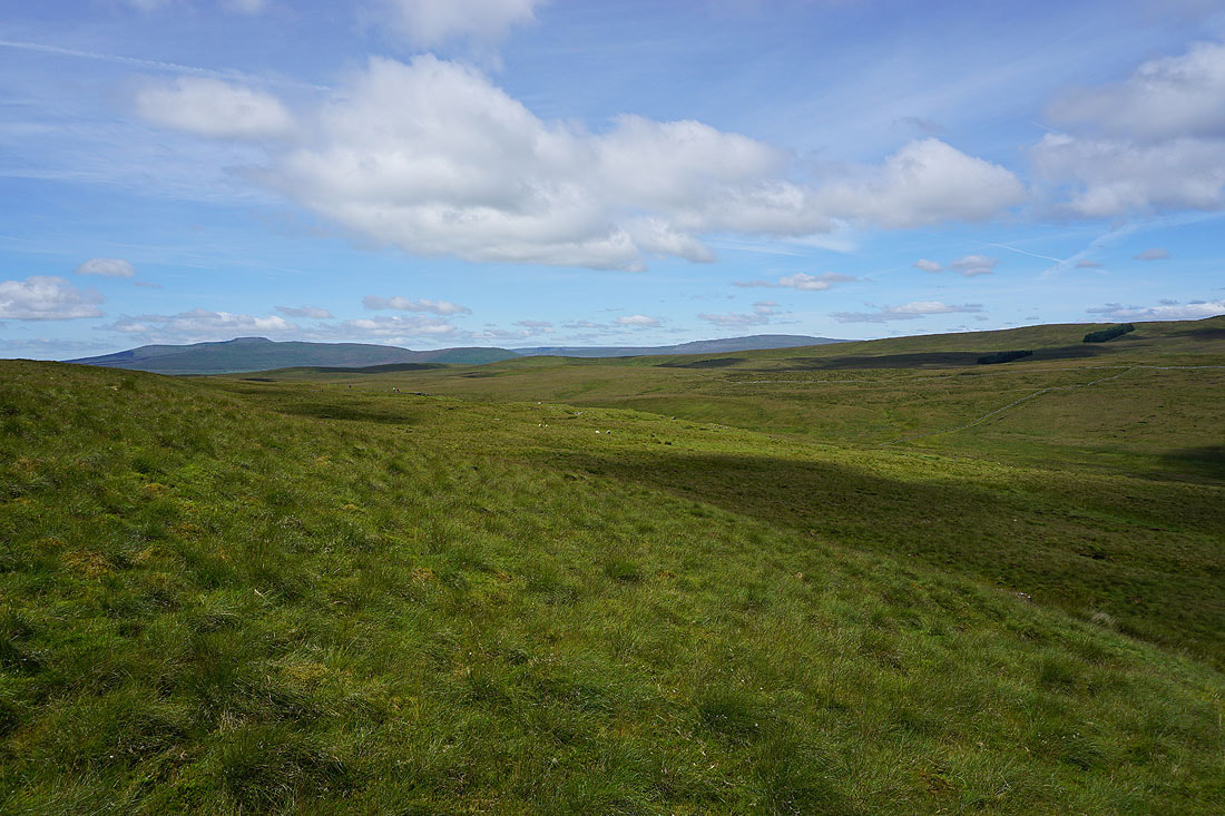
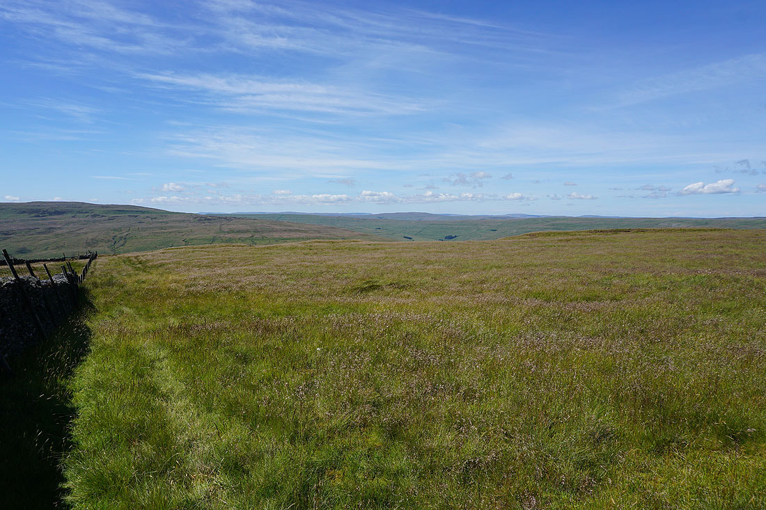
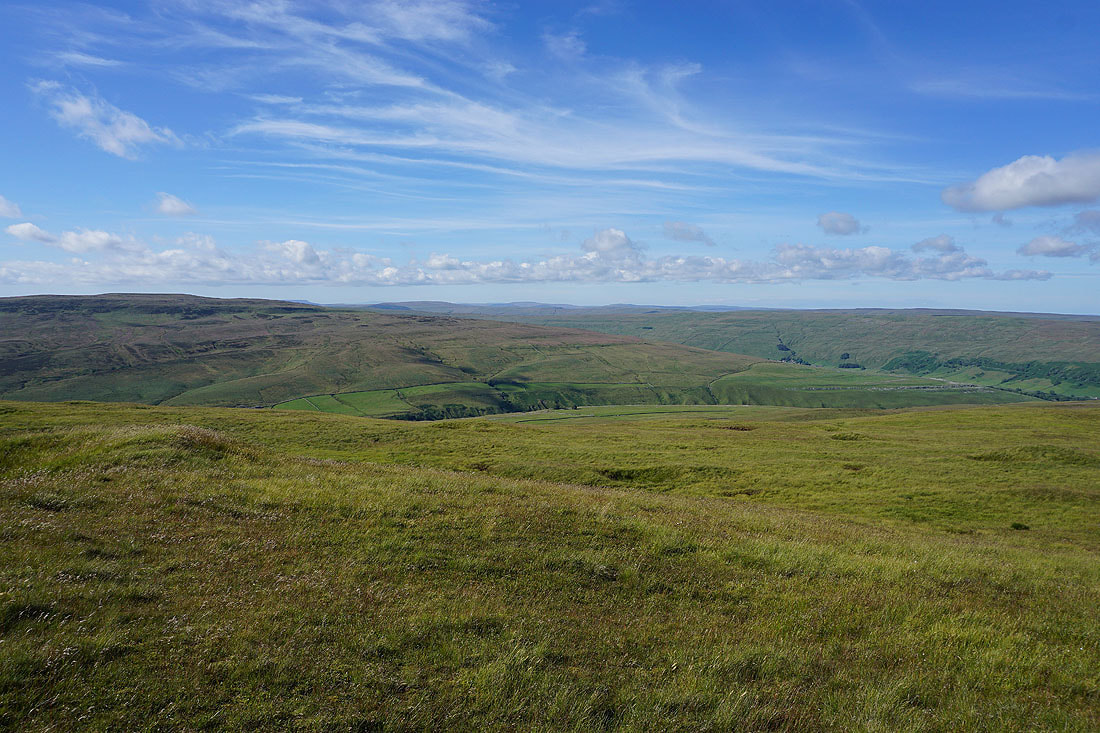
..and the moors around the head of Littondale and Dodd Fell Hill to the northwest
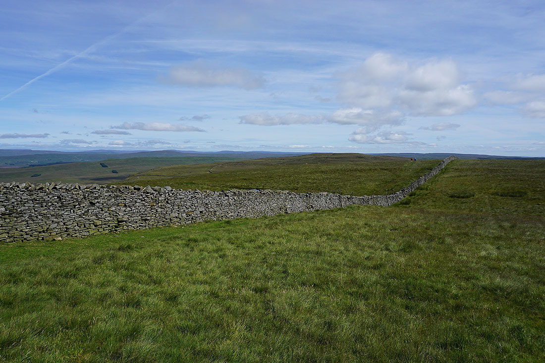
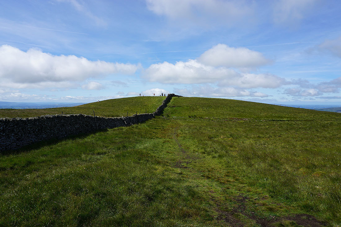
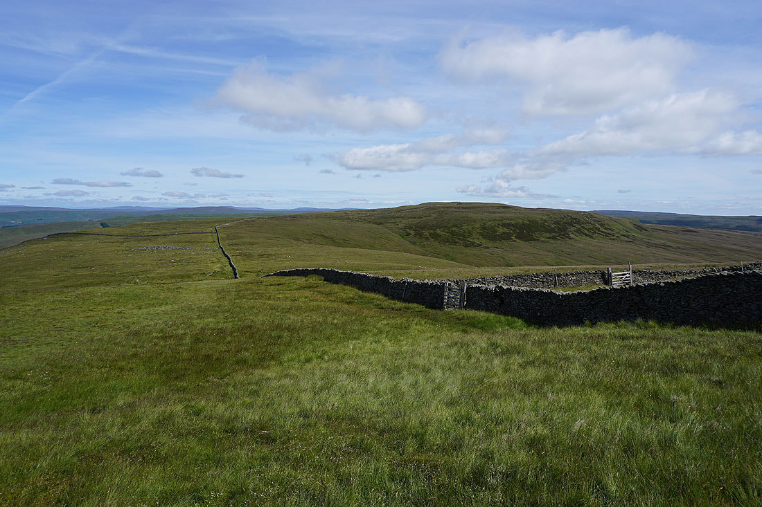
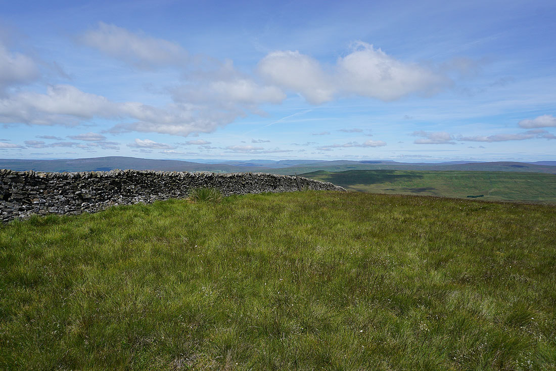
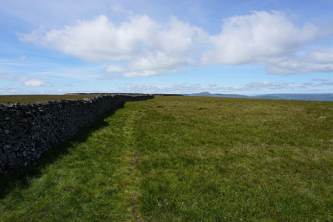
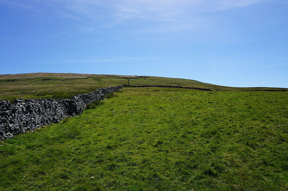
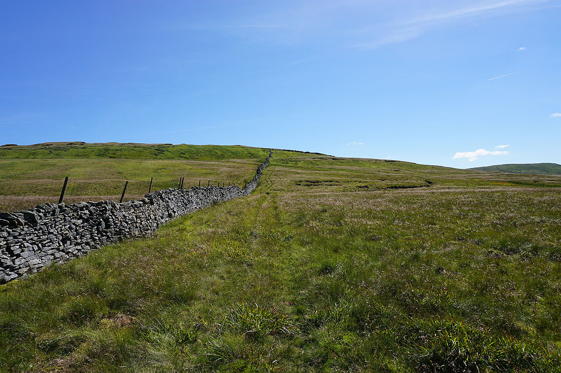
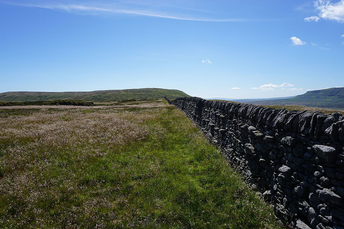
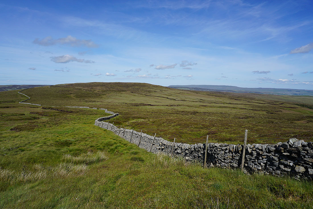
To get to Fountains Fell, simply follow the wall
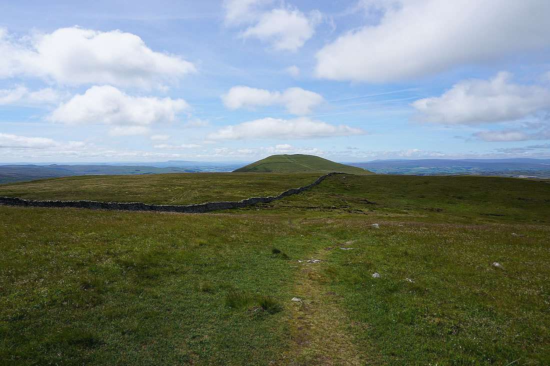
Looking back to Darnbrook Fell, with Great Whernside in the distance on the right
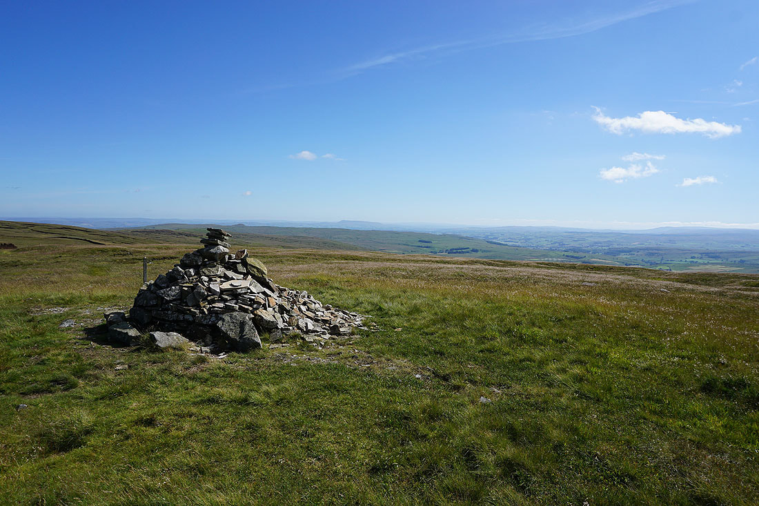
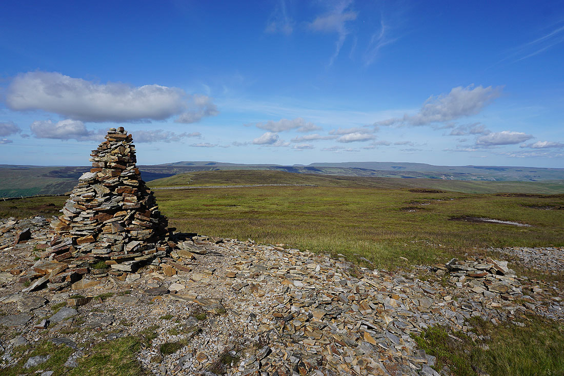
At the summit cairn on Fountains Fell with Pendle Hill in the distance to the south
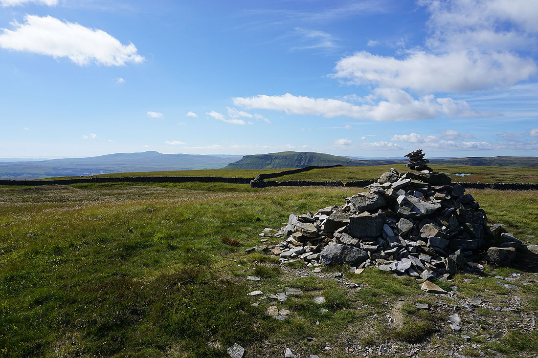
Ingleborough and Penyghent
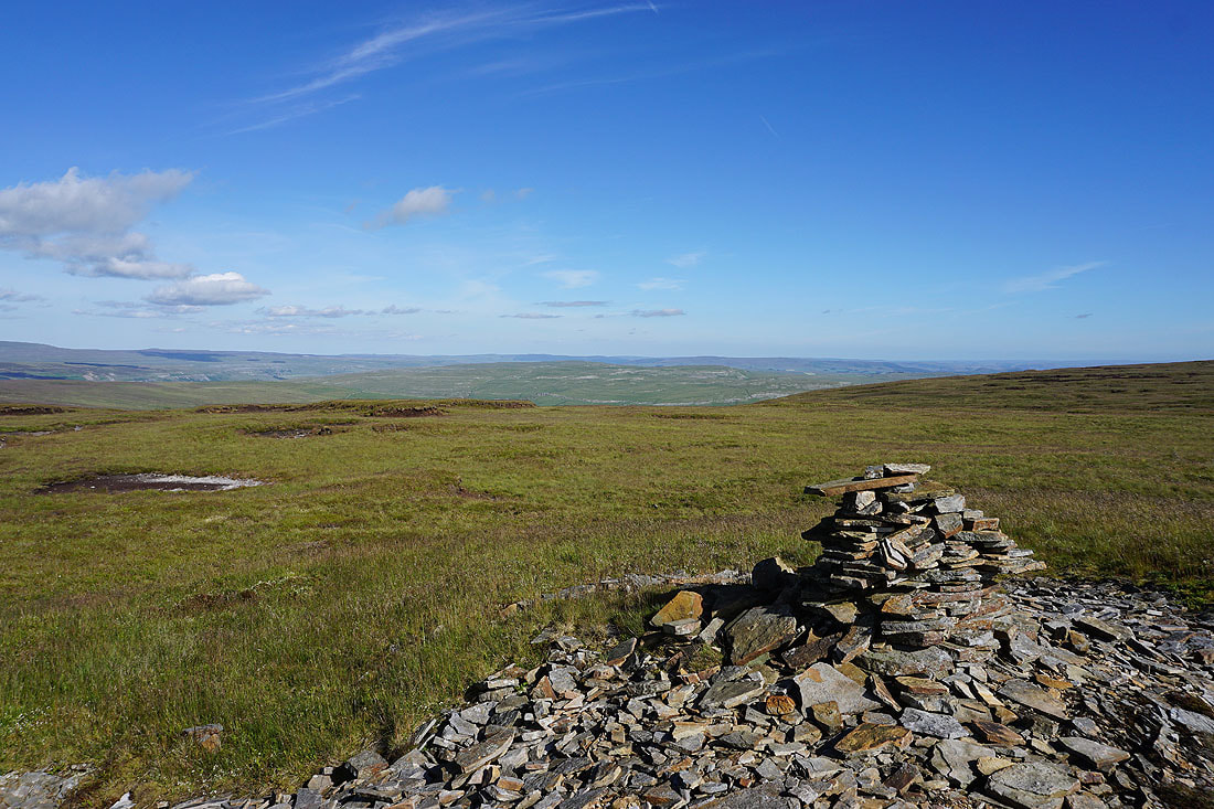
I've returned to the cairns at the northern edge of Fountains Fell's summit to take in the view from there, and it's also where the Pennine Way crosses the top of the fell. Looking southeast to the limestone moorland of Kilnsey Moor and Proctor High Mark.
Buckden Pike and Great Whernside beyond Darnbrook Fell and Old Cote Moor Top
Ingleborough and Penyghent as I join the Pennine Way
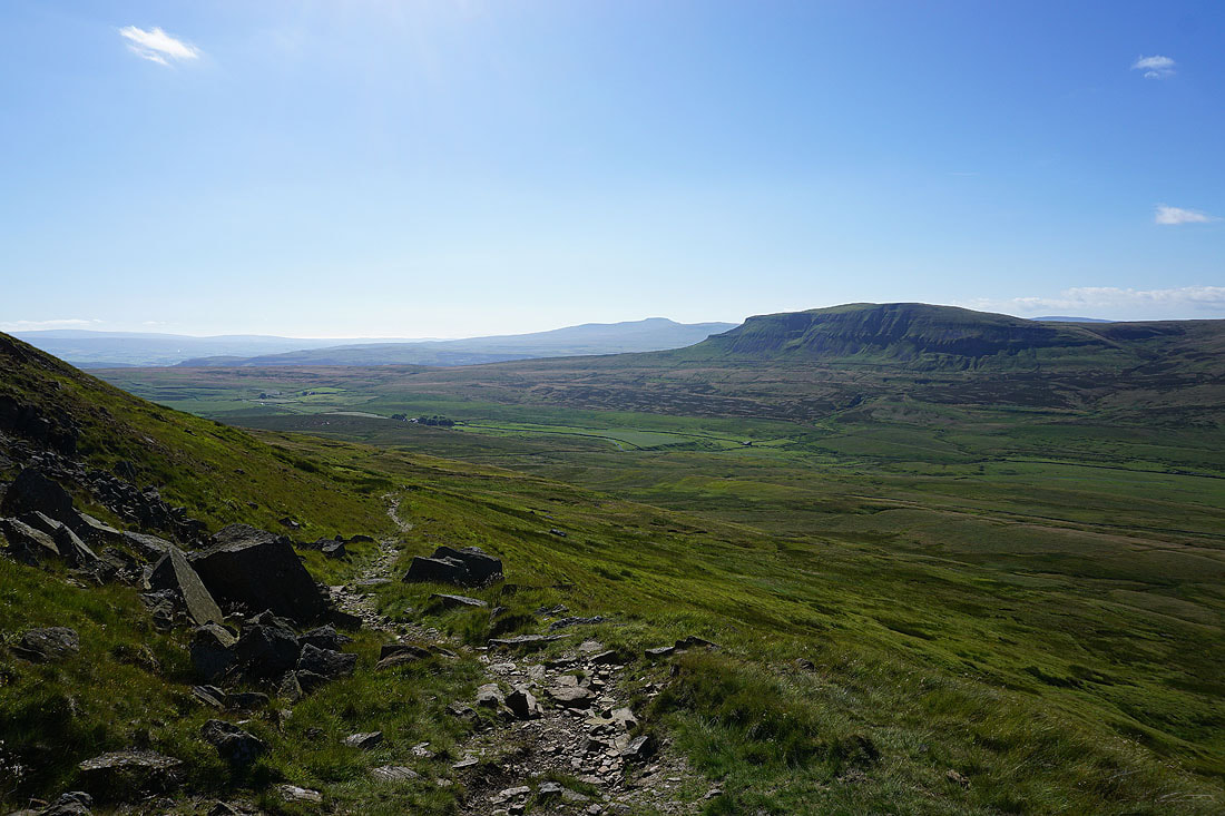
I get a great view across Penyghent Gill to Plover Hill and Horse Head Moor above Halton Gill in Littondale before I head down
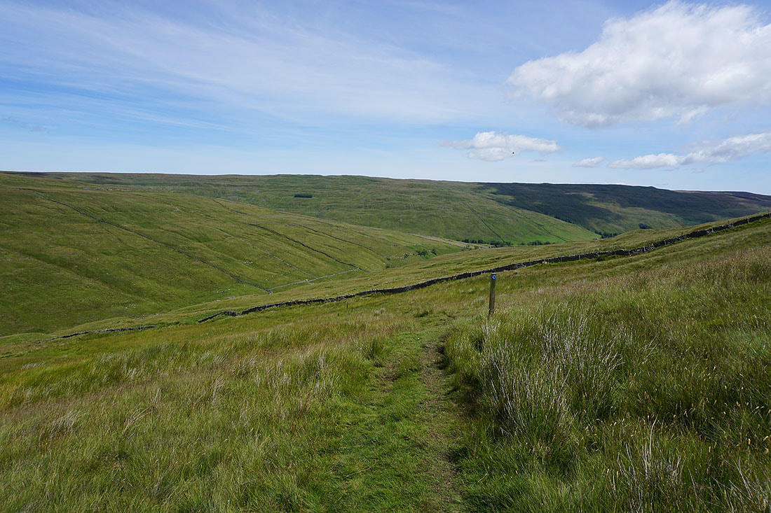
It's a lovely end to a summer's afternoon as I make my way down on the Pennine Way..
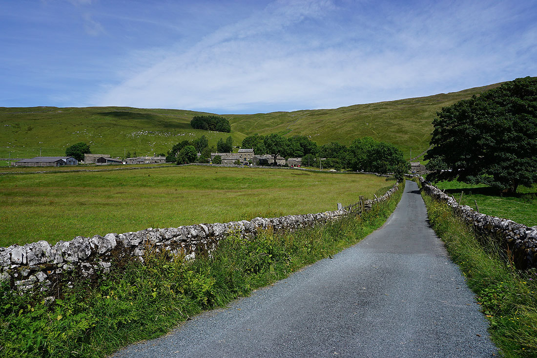
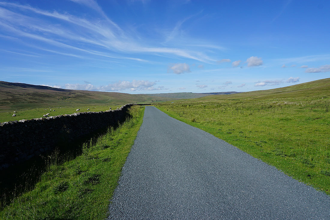
Down onto the road to Halton Gill. I'm walking along it in the other direction back to Dale Head.
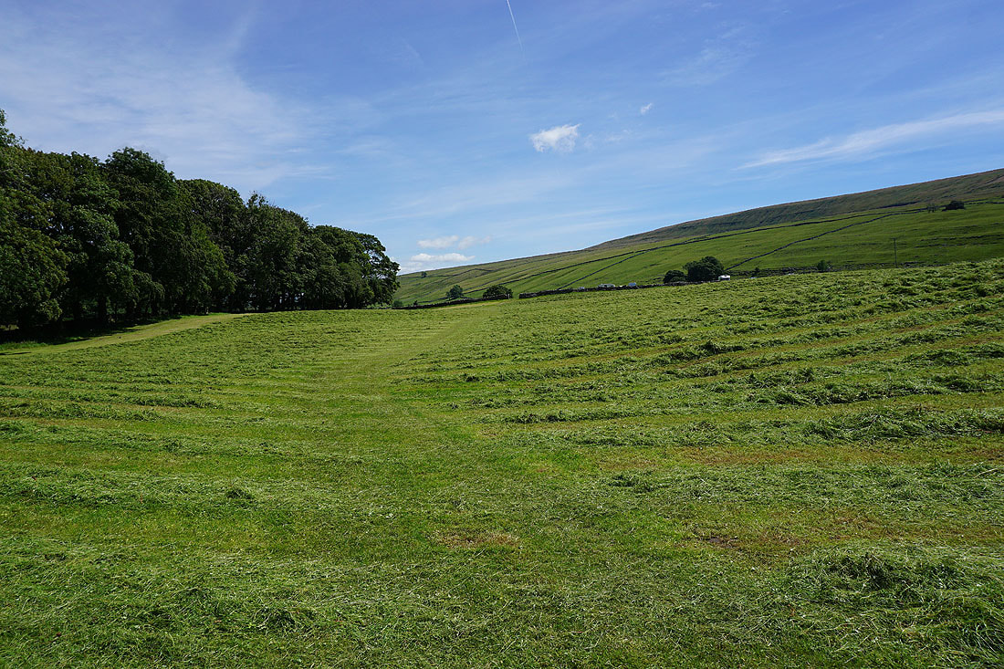
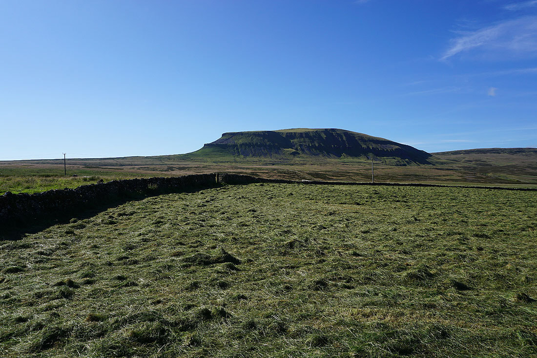
Penyghent and a field of freshly cut hay
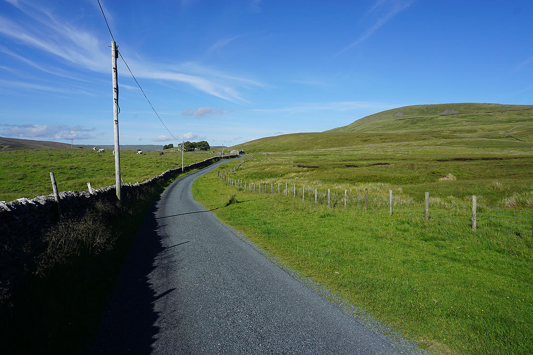
Looking back along the road to Rainscar Farm with Fountains Fell on the right
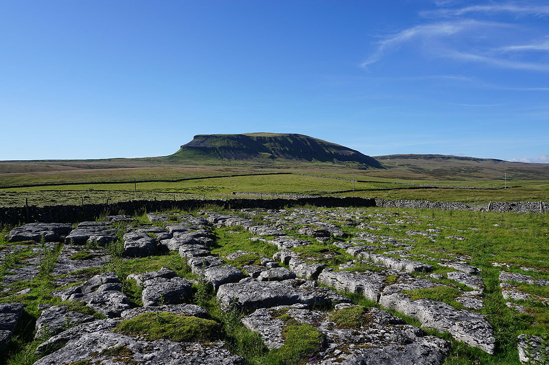
Back at Dale Head with a view of Penyghent from the limestone pavement that's by the side of the road
