9th June 2013 - Bride Stones Moor
Walk Details
Distance walked: 6.7 miles
Total ascent: 1350 ft
OS map used: OL21 - South Pennines
Time taken: 4.5 hrs
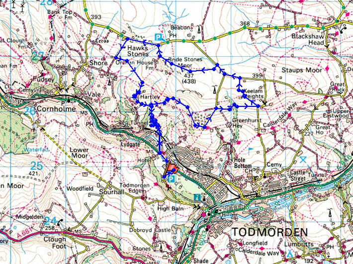
Route description: Todmorden-Stoney Royd Lane-Calderdale Way-Todmorden Centenary Way-Eastwood Road-Bride Stones Moor-Orchan Rocks-Stoney Royd Lane-Todmorden
After yesterdays exertions a relatively short and local walk for another fine summers day.
From Todmorden I followed the track of Stoney Royd Lane uphill onto the moor. Bridleways and paths took me across the hillside past the Whirlaw Stones and uphill to Eastwood Road. I then left the road to reach the Bride Stones. From the Bride Stones I made my way back to the road to follow more tracks and paths downhill to the Orchan Rocks and then Todmorden.
Route map
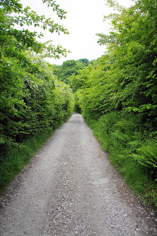
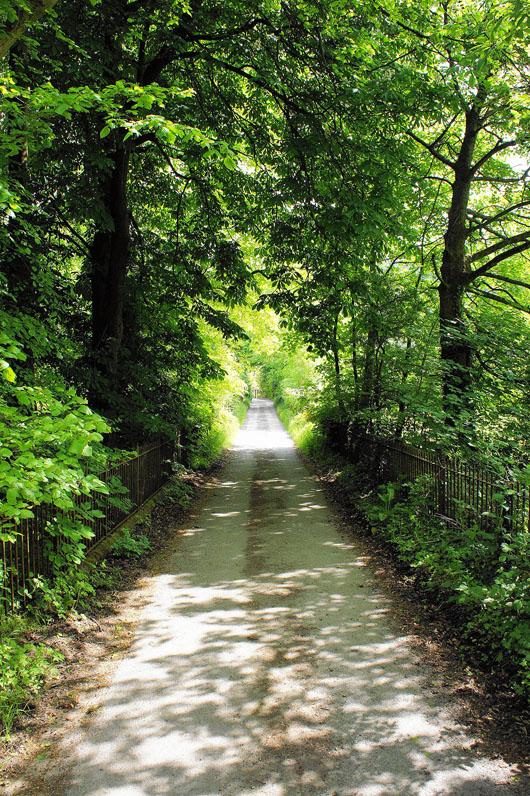
After finding somewhere to park in Todmorden I'm on the track of Stoney Royd Lane which will take me up onto the moors
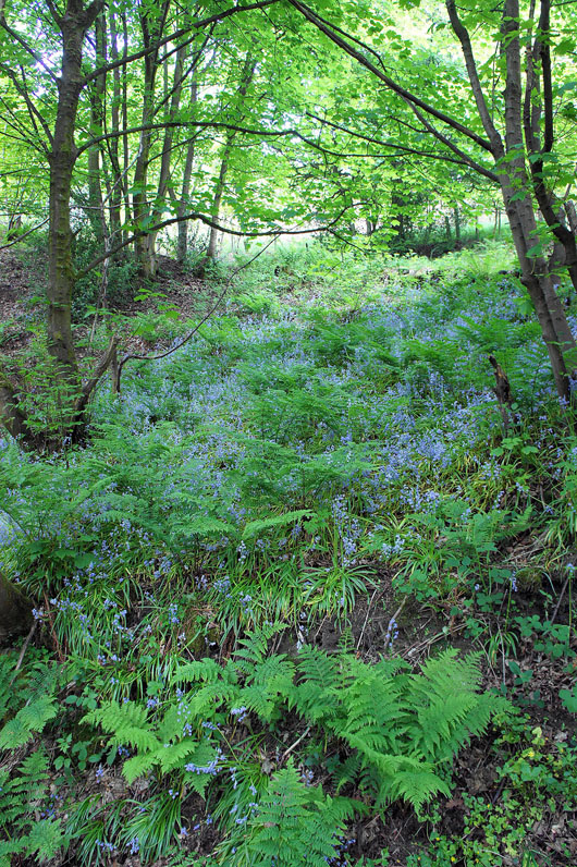
Some bluebells next to the track as it passes through woodland
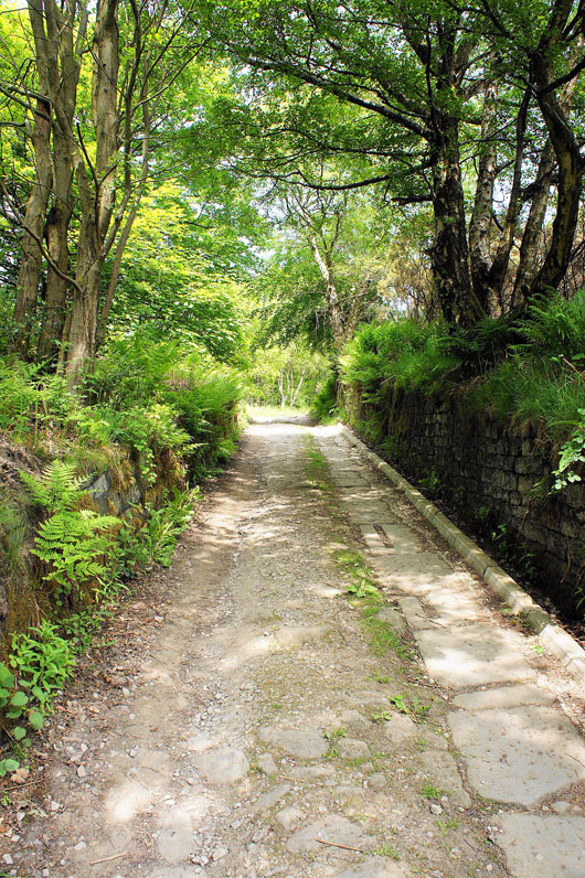
Not far to go to the open moor and it's brightening up
Open spaces at last. I'm going to head for the Whirlaw Stones, the rocky outcrop in the distance on the right.
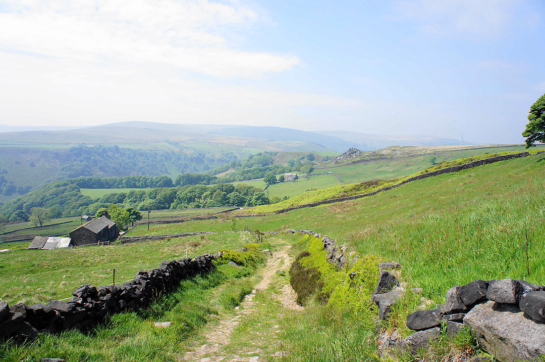
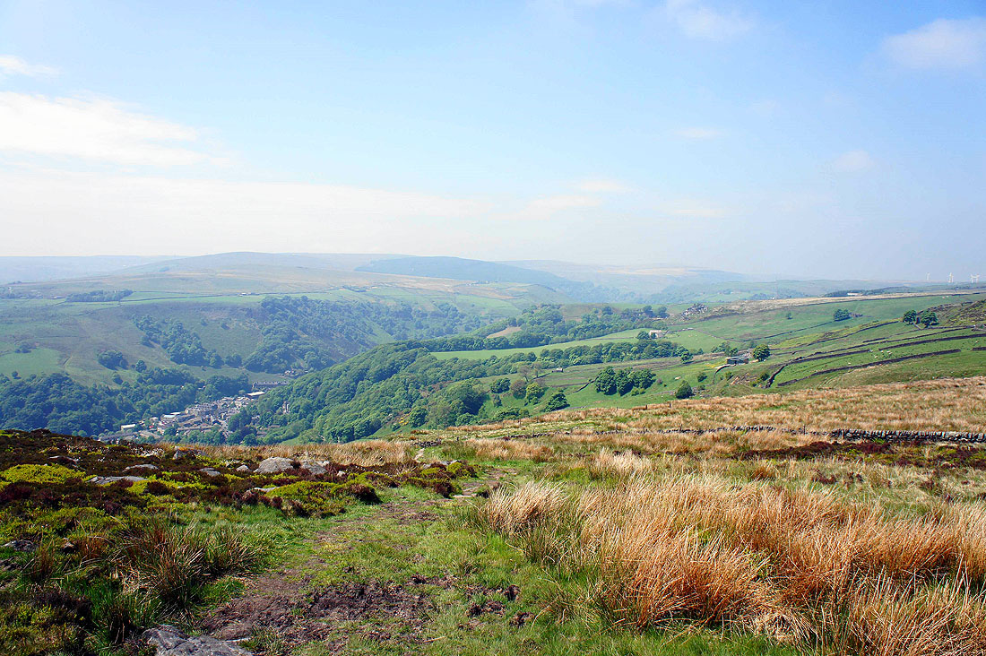
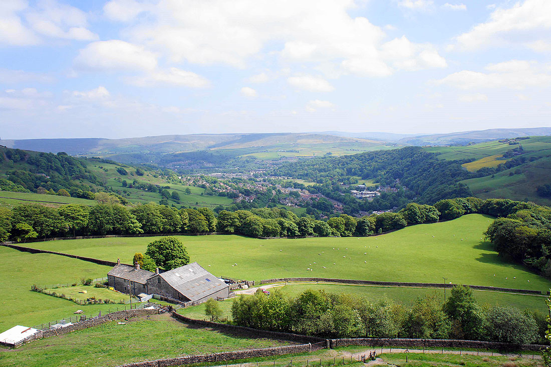
Looking back down into Calderdale. The rocky outcrop mid-distance is the Orchan Rocks. I'll be paying them a visit on the way back down.
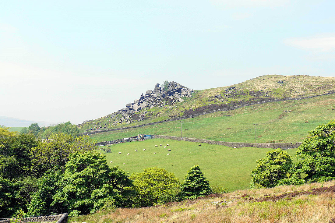
The Orchan Rocks
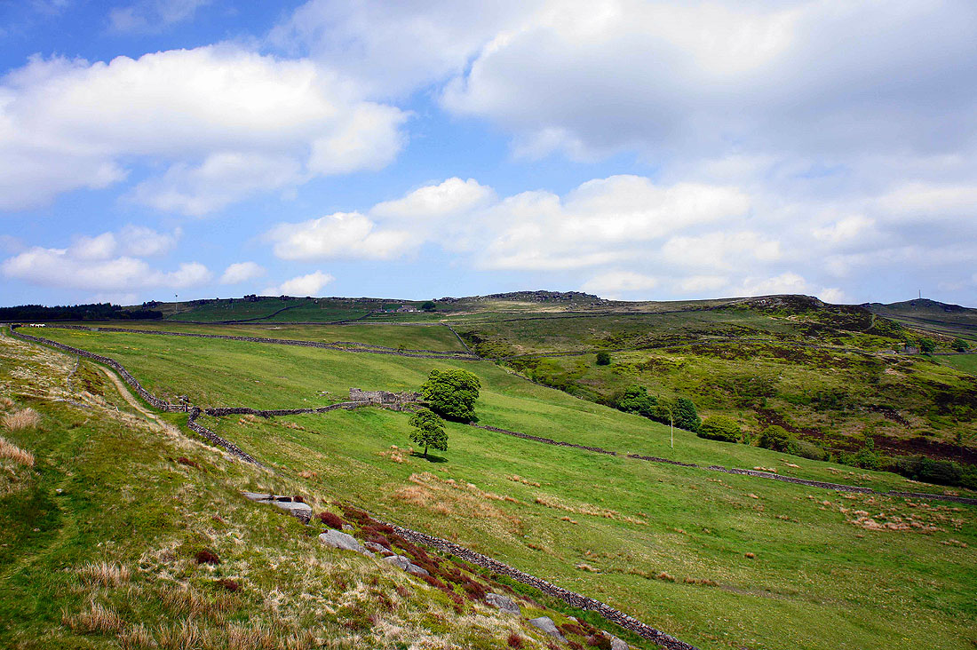
Following the track across the hillside to the Whirlaw Stones
Calderdale from near the Whirlaw Stones
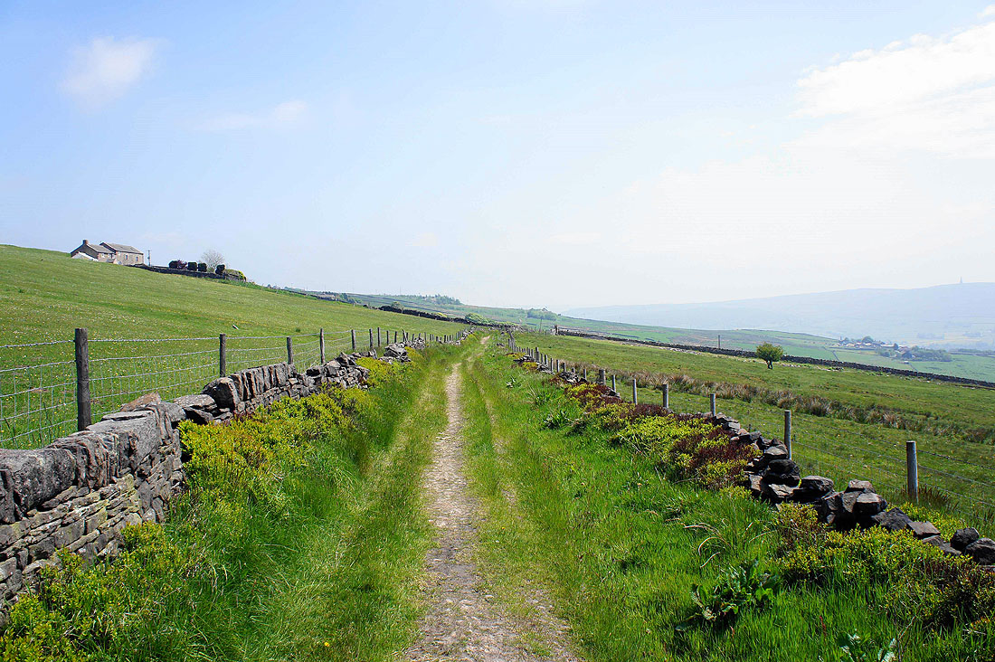
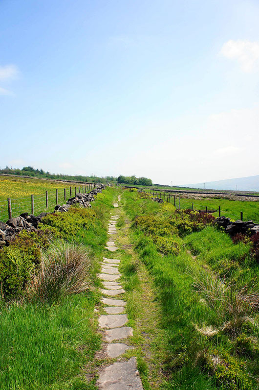
Great walking as I follow another track across the hillside
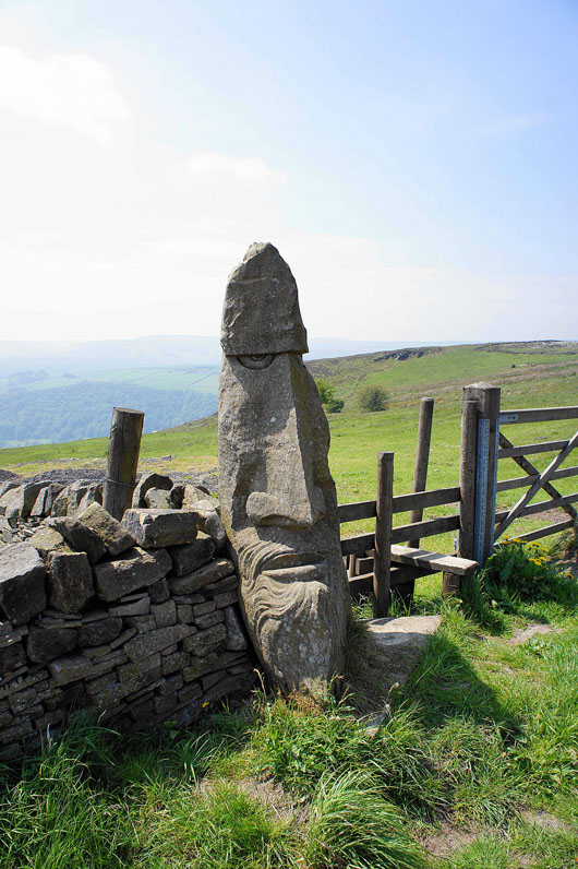
Why the long face? It's not my fault, I was made this way. You'll find this sculpture on the track that's on the photo above below the house of Windy Harbour which is on the hillside above on the left.
Todmorden in the valley below
I've really enjoyed using these tracks across the hillside but I'll leave it soon to head uphill to Eastwood Road and the Bride Stones
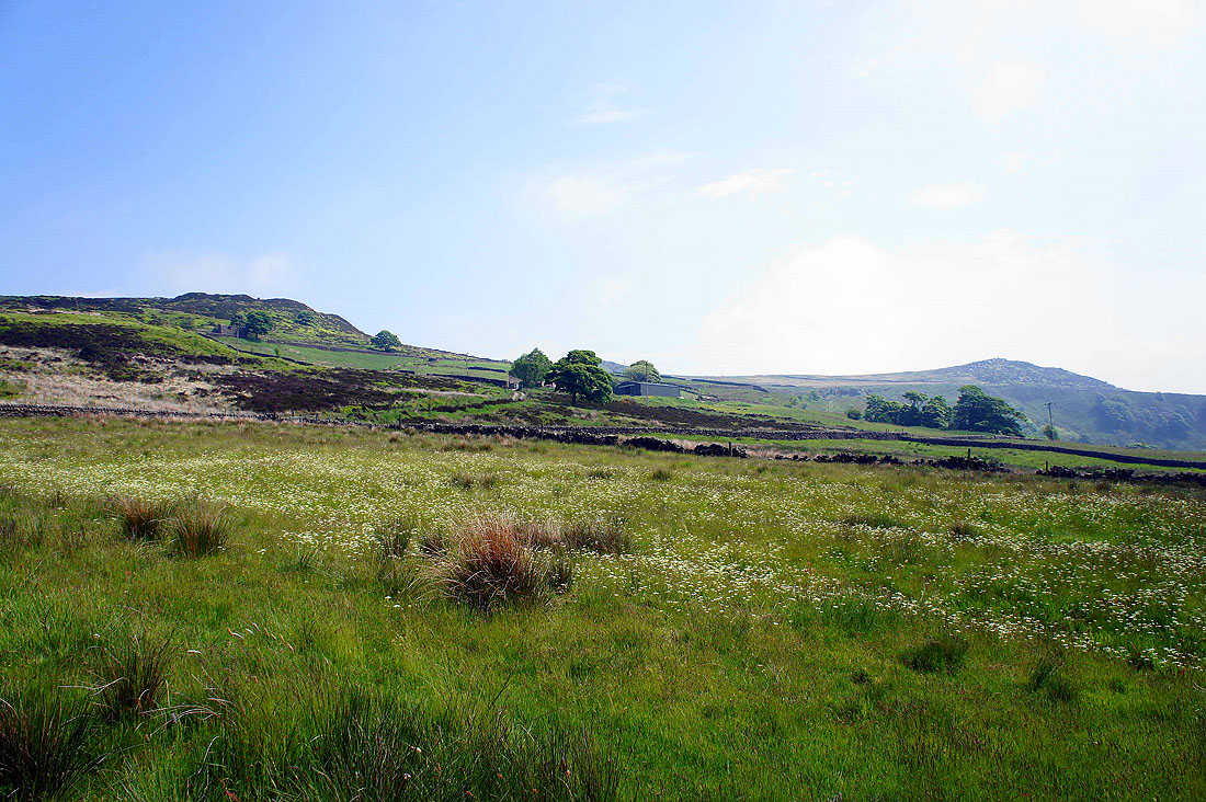
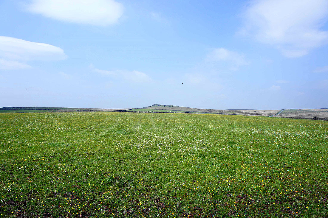
Bride Stones Moor comes into view
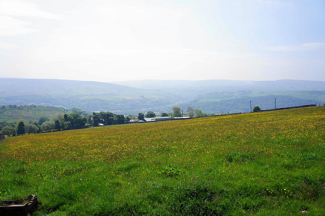
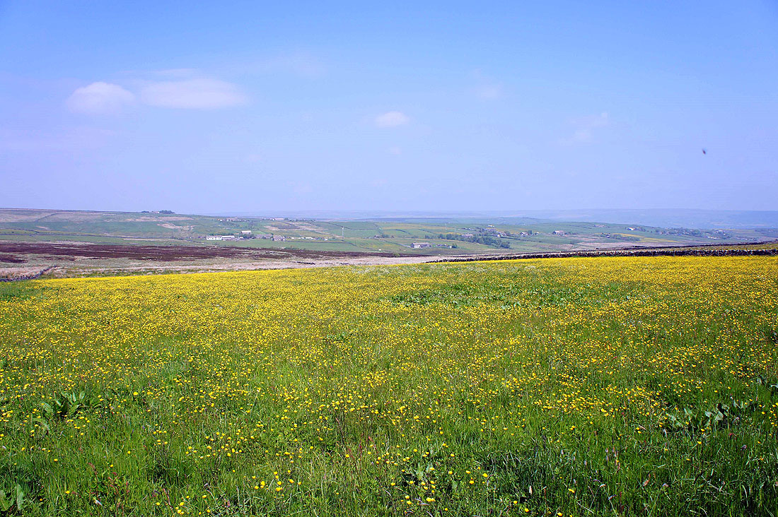
I couldn't resist taking this picture of a field of buttercups next to Eastwood Road
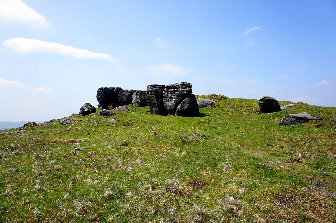
The first encounter with the Bride Stones
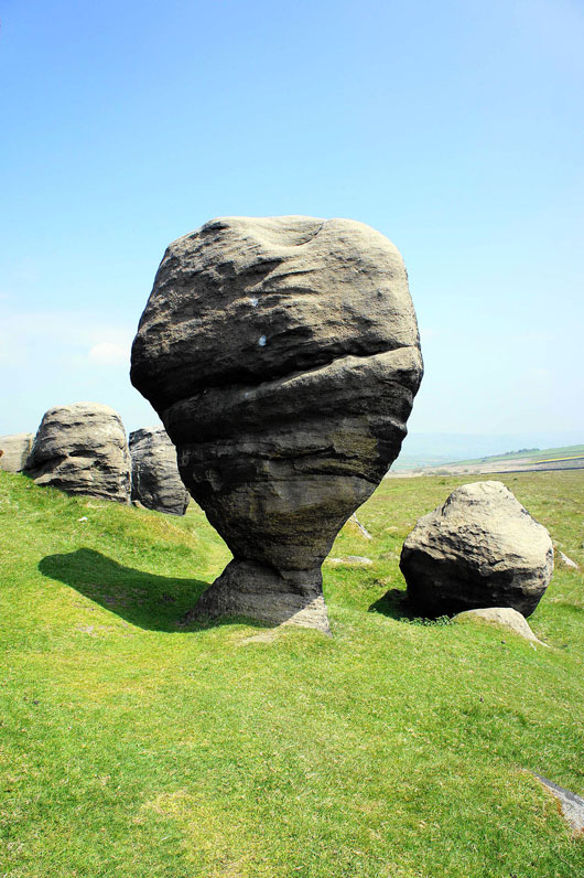
This one on a pedestal is the stand out feature
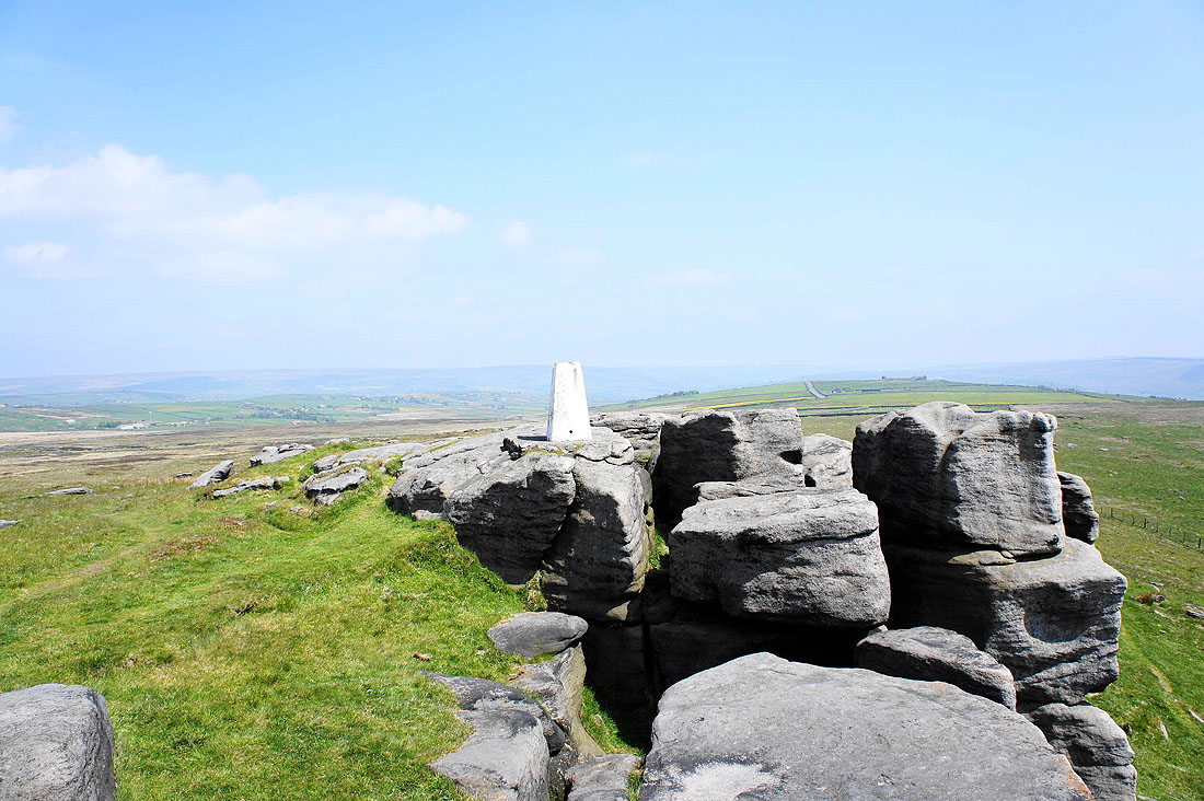
The trig point on Bride Stones Moor
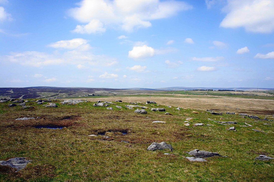
The view towards Hoof Stones Height and Boulsworth Hill
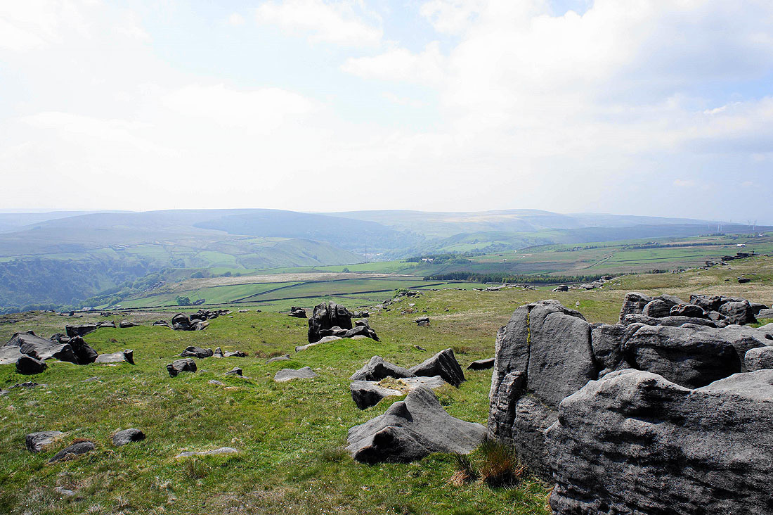
Looking down Calderdale and..
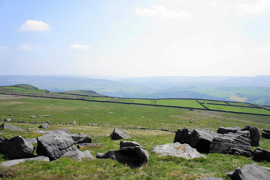
..up the valley towards the Cliviger Gorge
Todmorden is just out of sight in the valley below
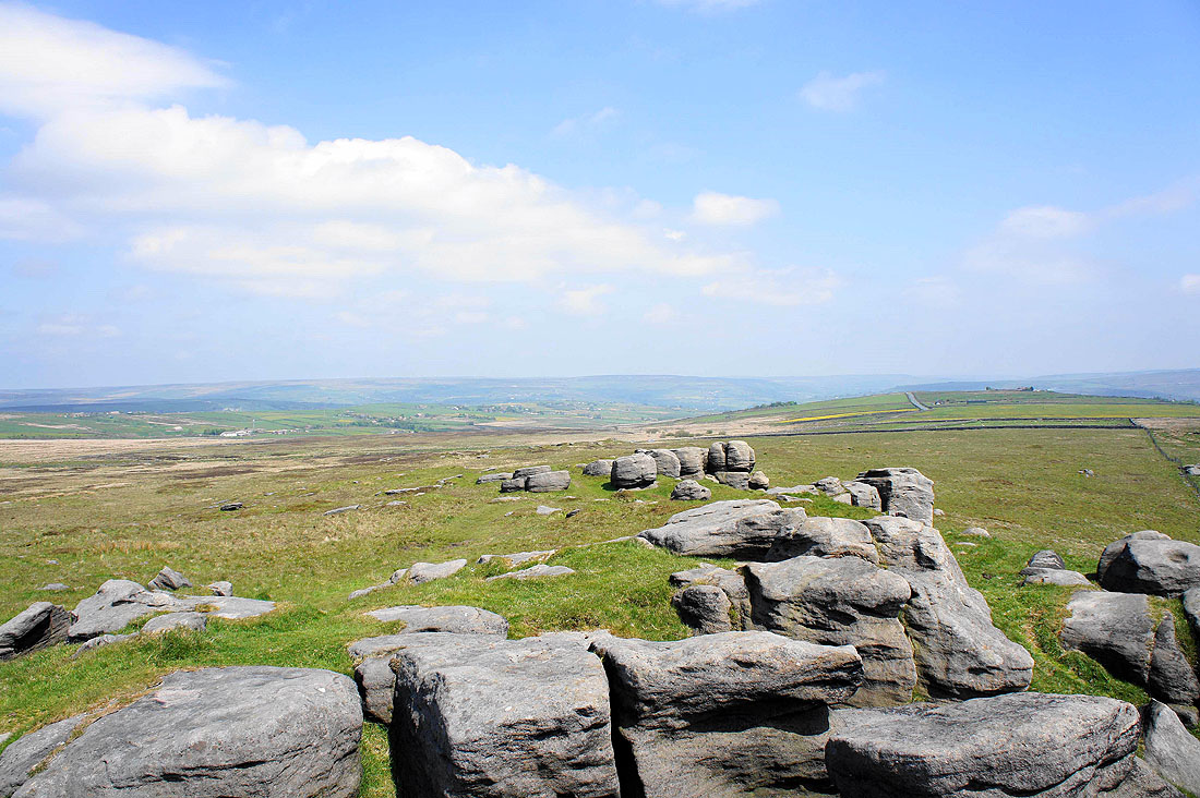
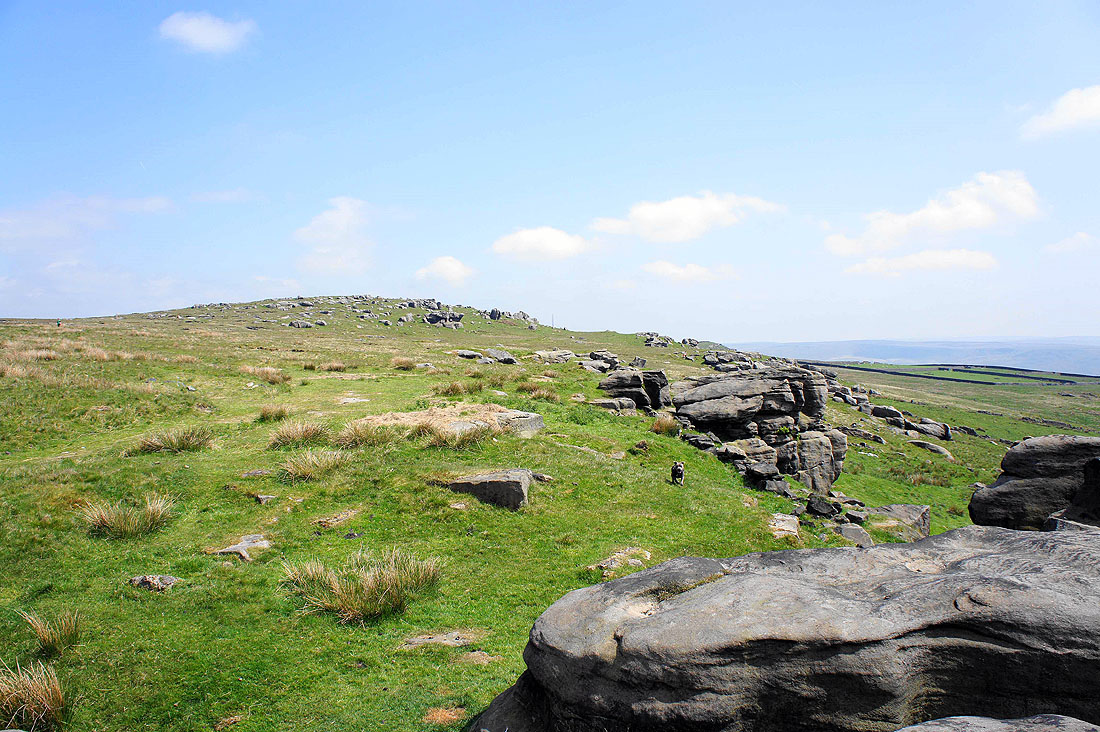
Plenty of rocks on Bride Stones Moor
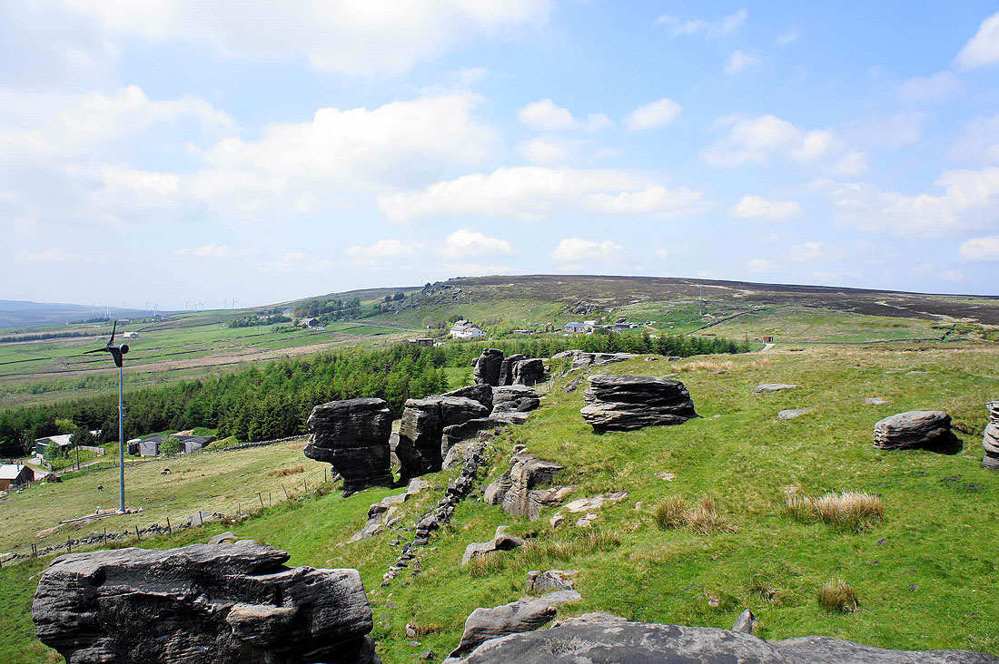
As the Bride Stones peter out there are more gritstone outcrops in the form of Hawks Stones on the next hillside
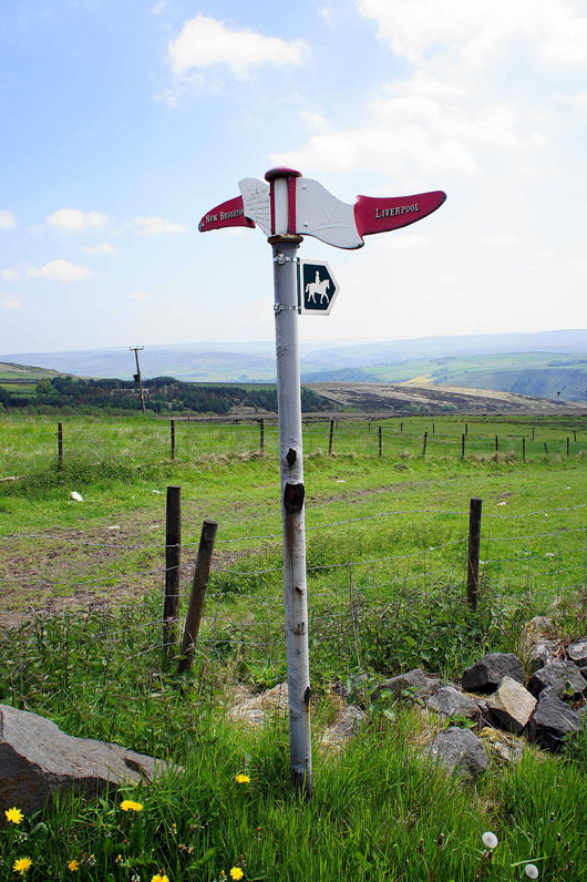
A milepost on the National Cycle Network. I'm following the bridleway to reach the Orchan Rocks.
Looking back to the Bride Stones from Orchan Rocks
Todmorden in Calderdale from Orchan Rocks
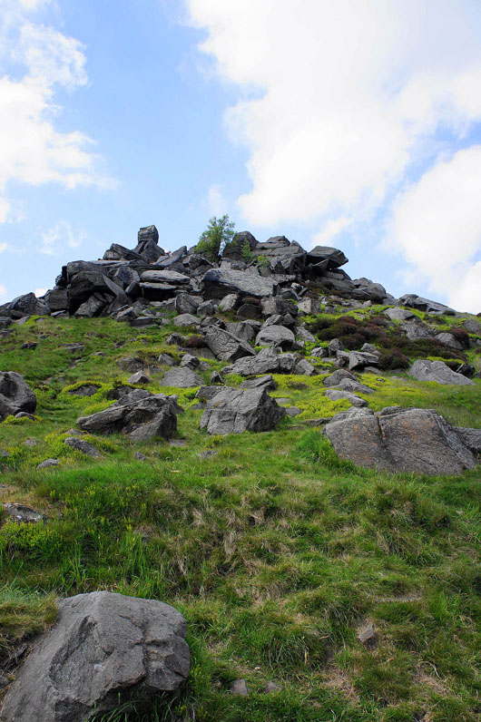
Orchan Rocks
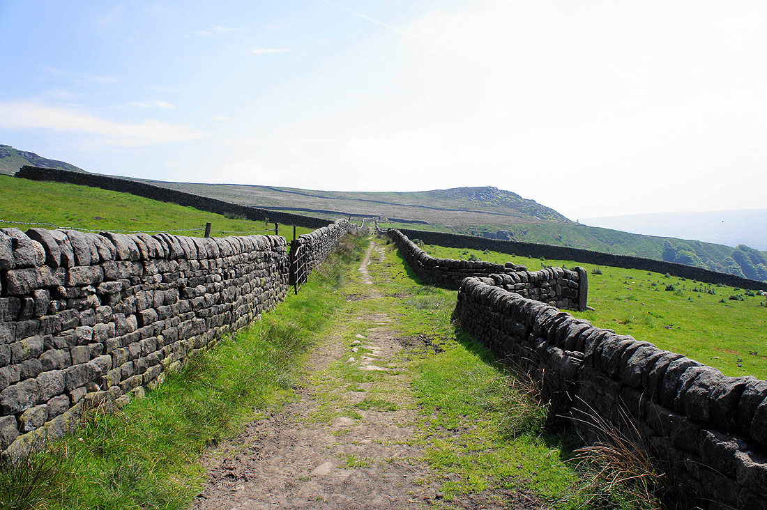
Back down Stoney Royd Lane to Todmorden
