9th June 2019 - Bishopdale and Addlebrough
Walk Details
Distance walked: 12.2 miles
Total ascent: 1856 ft
OS map used: OL30 - Yorkshire Dales, Northern & Central areas
Time taken: 7 hrs
Route description: Thornton Rust-Flout Moor Lane-Aysgarth Pasture-Thoralby-Side Road-Brown a Haw-Stake Road-Stake Allotments-Busk Lane-Carpley Green-Addlebrough-Worton Pasture-Cubeck-Thornton Road-Thornton Rust
Just four weeks after my last visit and I find myself back in Wensleydale for another walk. This time I've planned a route that takes in another one of the side valleys, Bishopdale, which is quite substantial on its own and I could easily spend the day wandering about it and going nowhere else. I also wanted to visit the hill of Addlebrough though, so crossing from Bishopdale over the moorland of Stake Allotments to Wensleydale closed the circle for making it back to my starting point of the village of Thornton Rust. My favourite parts of the walk were being up on the moorland of Stake Allotments and the view from Addlebrough. It was the perfect early summer's day for hill walking, lots of blue skies and sunshine with fluffy fair-weather clouds and great visibility for taking in the views.
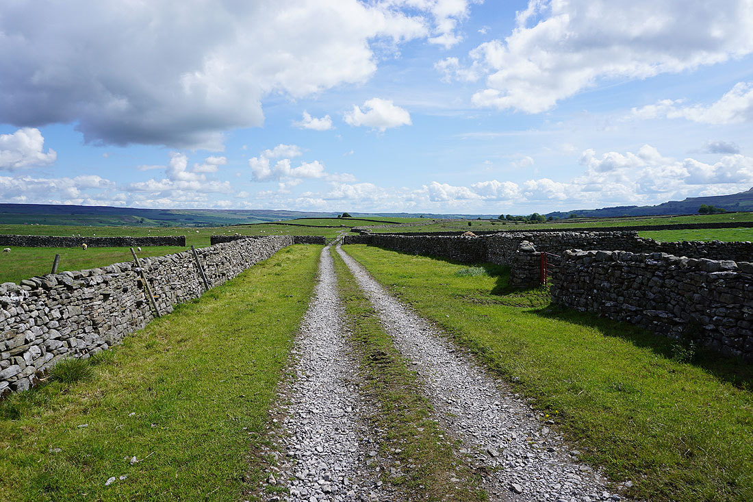
From the small car park just to the south of the road through Thornton Rust I crossed the ford over West Beck and followed a footpath southeast across fields to the track of Flout Moor Lane. I crossed the track and kept heading southeast on the footpath across Aysgarth Pasture to reach the bridleway down into Thoralby in Bishopdale. I followed the bridleway down to the road that heads west out of Thoralby and walked up this road, turning right at a fork in the road, to reach its end at Old Hall Farm. I then took the track of Side Road up Bishopdale and then the bridleway up onto the moorland of Brown-a-Haw to reach the track of Stake Road. This track which becomes a bridleway was then followed west up onto Stake Allotments until it meets the track and byway of Busk Lane. This track then took me north, down to Carpley Green Farm at the end of Carpley Green Road. A short distance north of the farm I reached a bridleway on the right that could have taken me back to Thornton Rust. I followed this bridleway uphill, and at its top left it, and made my way north up onto the hill of Addlebrough (accessing some of the hill is a bit tricky). Once I'd taken in the views from the summit, I left it by picking a convenient spot on its northern edge to make my descent, and then headed in a roughly northwesterly direction to meet the bridleway across Worton Pasture where it leaves Carpley Green Road. I then followed this bridleway east across Worton Pasture and then a byway down to the hamlet of Cubeck. A walk east from Cubeck along Thornton Road took me back to where I started from in Thornton Rust.
Total ascent: 1856 ft
OS map used: OL30 - Yorkshire Dales, Northern & Central areas
Time taken: 7 hrs
Route description: Thornton Rust-Flout Moor Lane-Aysgarth Pasture-Thoralby-Side Road-Brown a Haw-Stake Road-Stake Allotments-Busk Lane-Carpley Green-Addlebrough-Worton Pasture-Cubeck-Thornton Road-Thornton Rust
Just four weeks after my last visit and I find myself back in Wensleydale for another walk. This time I've planned a route that takes in another one of the side valleys, Bishopdale, which is quite substantial on its own and I could easily spend the day wandering about it and going nowhere else. I also wanted to visit the hill of Addlebrough though, so crossing from Bishopdale over the moorland of Stake Allotments to Wensleydale closed the circle for making it back to my starting point of the village of Thornton Rust. My favourite parts of the walk were being up on the moorland of Stake Allotments and the view from Addlebrough. It was the perfect early summer's day for hill walking, lots of blue skies and sunshine with fluffy fair-weather clouds and great visibility for taking in the views.
From the small car park just to the south of the road through Thornton Rust I crossed the ford over West Beck and followed a footpath southeast across fields to the track of Flout Moor Lane. I crossed the track and kept heading southeast on the footpath across Aysgarth Pasture to reach the bridleway down into Thoralby in Bishopdale. I followed the bridleway down to the road that heads west out of Thoralby and walked up this road, turning right at a fork in the road, to reach its end at Old Hall Farm. I then took the track of Side Road up Bishopdale and then the bridleway up onto the moorland of Brown-a-Haw to reach the track of Stake Road. This track which becomes a bridleway was then followed west up onto Stake Allotments until it meets the track and byway of Busk Lane. This track then took me north, down to Carpley Green Farm at the end of Carpley Green Road. A short distance north of the farm I reached a bridleway on the right that could have taken me back to Thornton Rust. I followed this bridleway uphill, and at its top left it, and made my way north up onto the hill of Addlebrough (accessing some of the hill is a bit tricky). Once I'd taken in the views from the summit, I left it by picking a convenient spot on its northern edge to make my descent, and then headed in a roughly northwesterly direction to meet the bridleway across Worton Pasture where it leaves Carpley Green Road. I then followed this bridleway east across Worton Pasture and then a byway down to the hamlet of Cubeck. A walk east from Cubeck along Thornton Road took me back to where I started from in Thornton Rust.
Route map
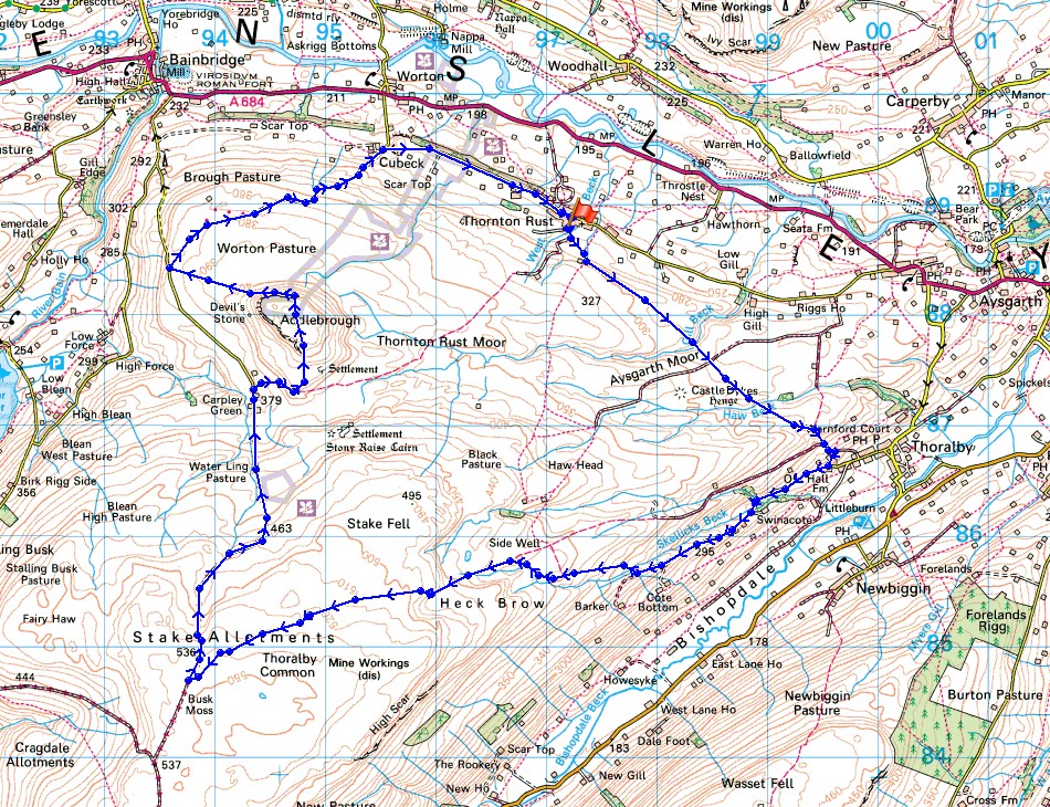
© Crown copyright. All rights reserved. License number PU 100034184.
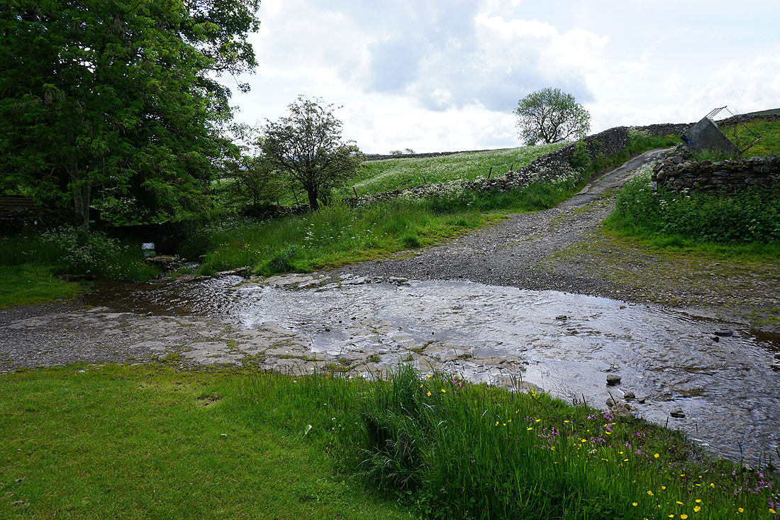
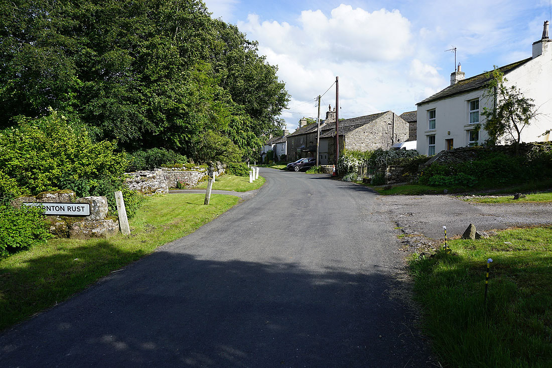
Crossing the ford over West Beck as I leave Thornton Rust
Looking over the roofs of Thornton Rust to Ivy Scar
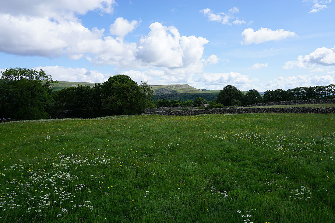
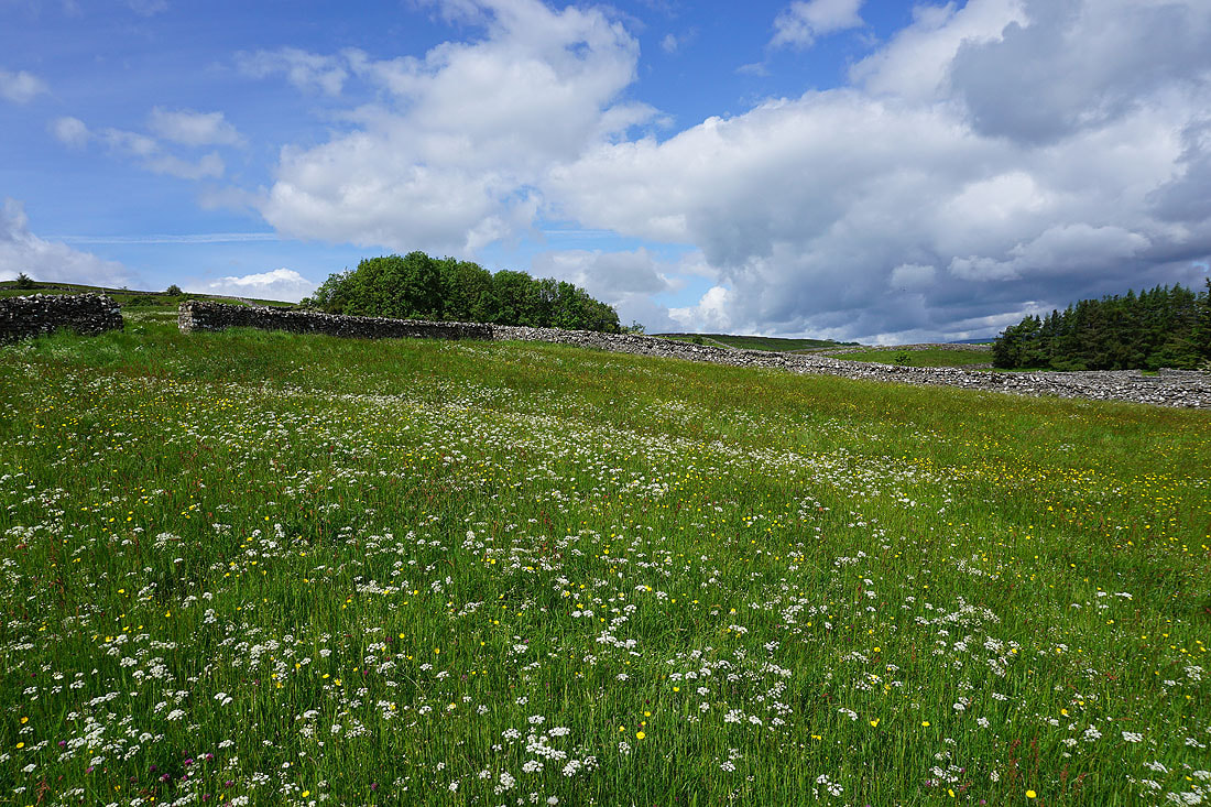
The hay meadows around Thornton Rust look great this morning...
The path passes the spring of St. Mary's Well
Looking down Wensleydale towards Castle Bolton
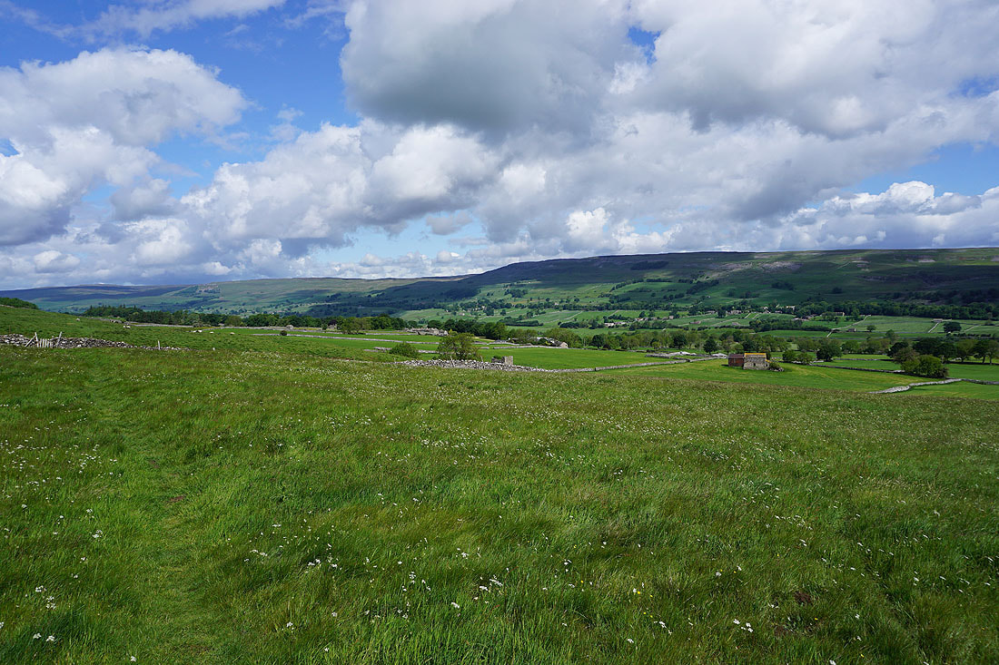
and back towards Thornton Rust
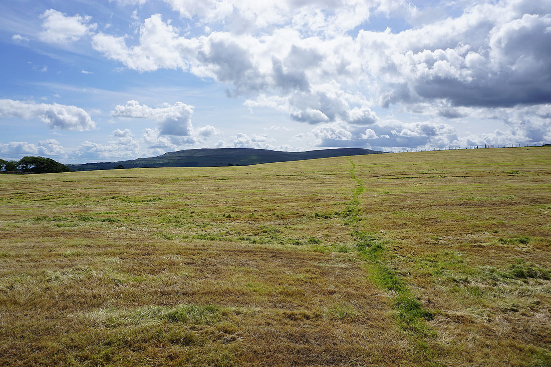
The path is easy to follow across this freshly mown field
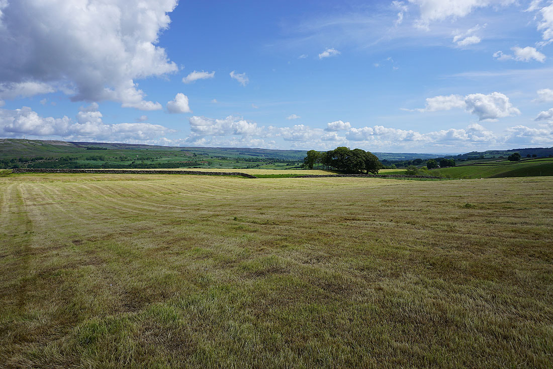
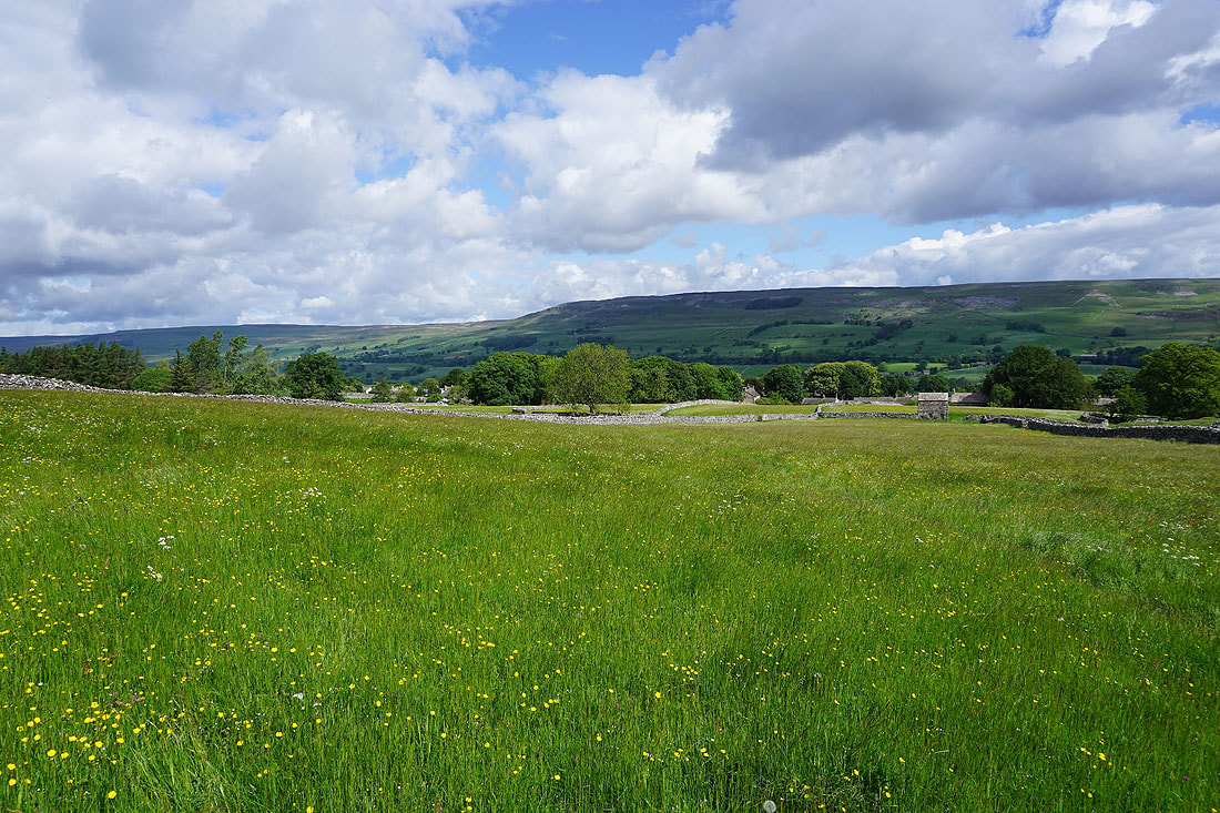
Another photo taking in the view across Wensleydale
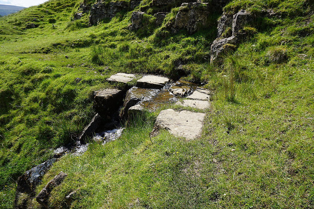
Gill Beck. It took a little time finding a good place to cross it.
Crossing Flout Moor Lane
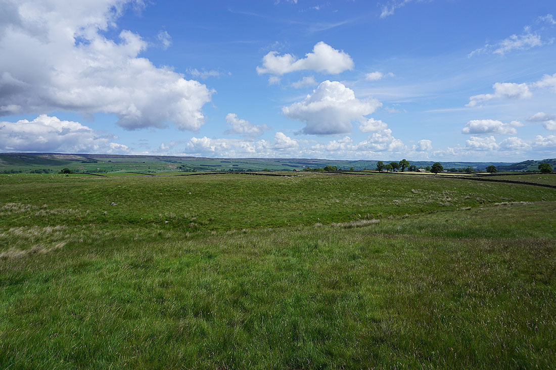
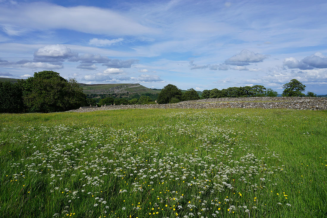
Big skies over Aysgarth Pasture
Haw Beck
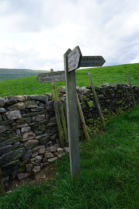
Joining the bridleway to Thoralby in Bishopdale and leaving the footpath from Thornton Rust
Descending the bridleway to Thoralby with the hills of Height of Hazely and Harland Hill in the distance
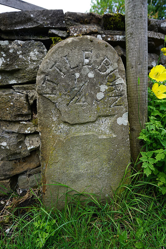
This milestone is at a fork in the road at the western end of Thoralby. I think it has Littleburn across the top of it. I took the right hand one to Old Hall Farm.
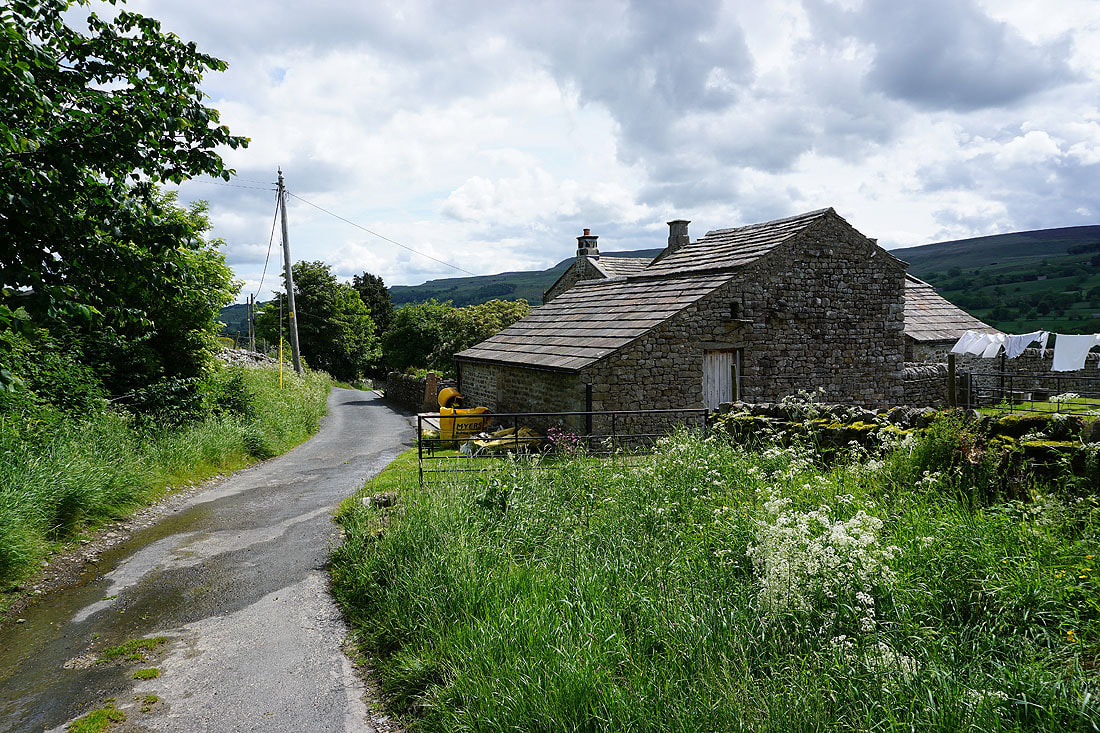
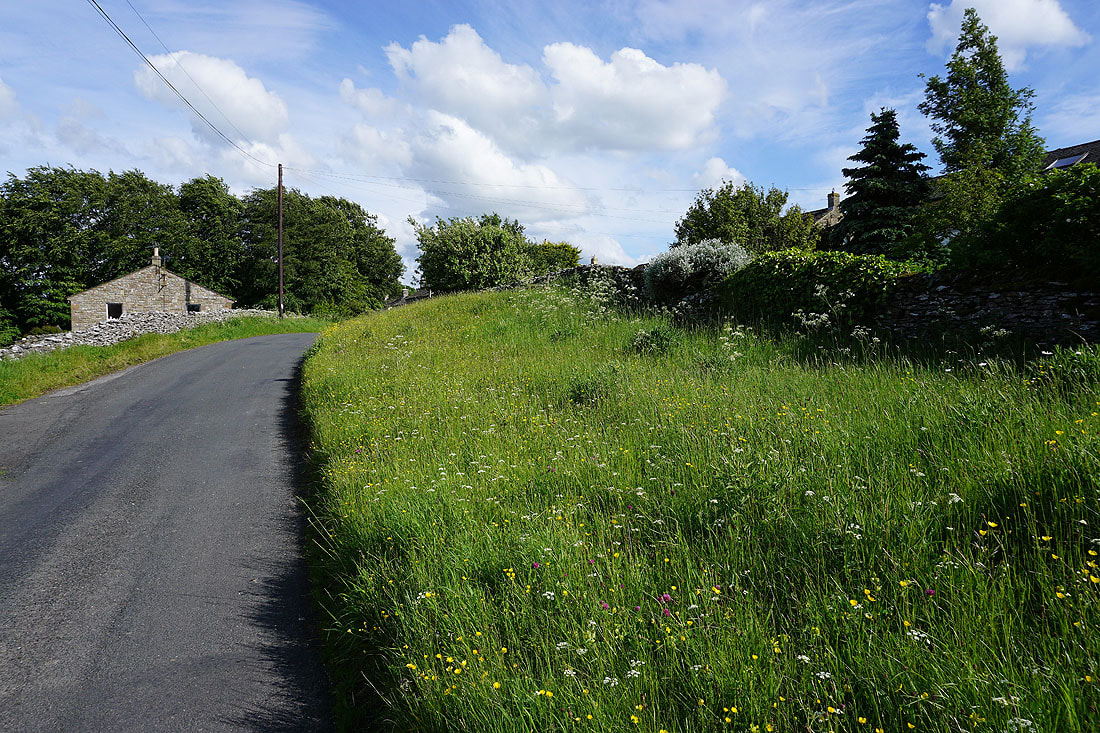
The end of the road is reached at Old Hall Farm
and then it's onto the track of Side Road to head up Bishopdale
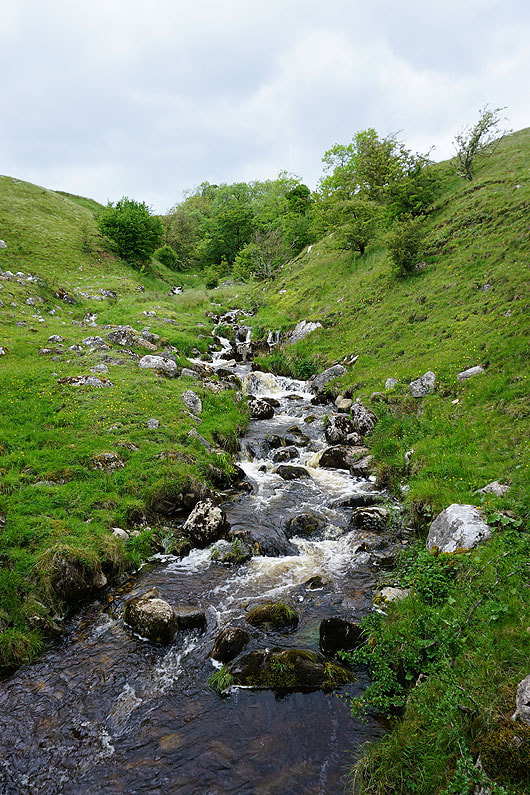
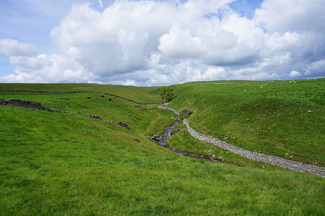
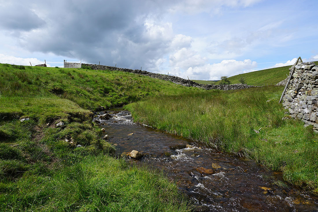
The track crosses Hacker Gill Beck
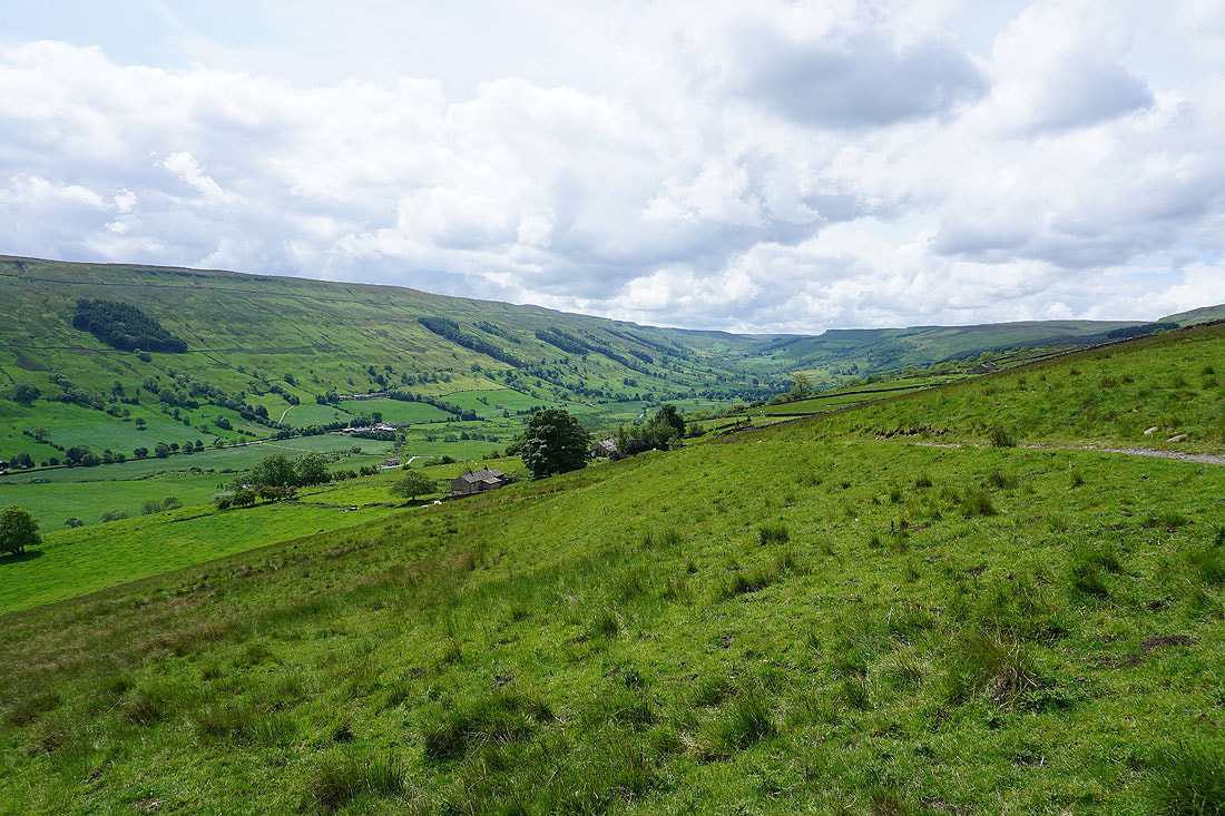
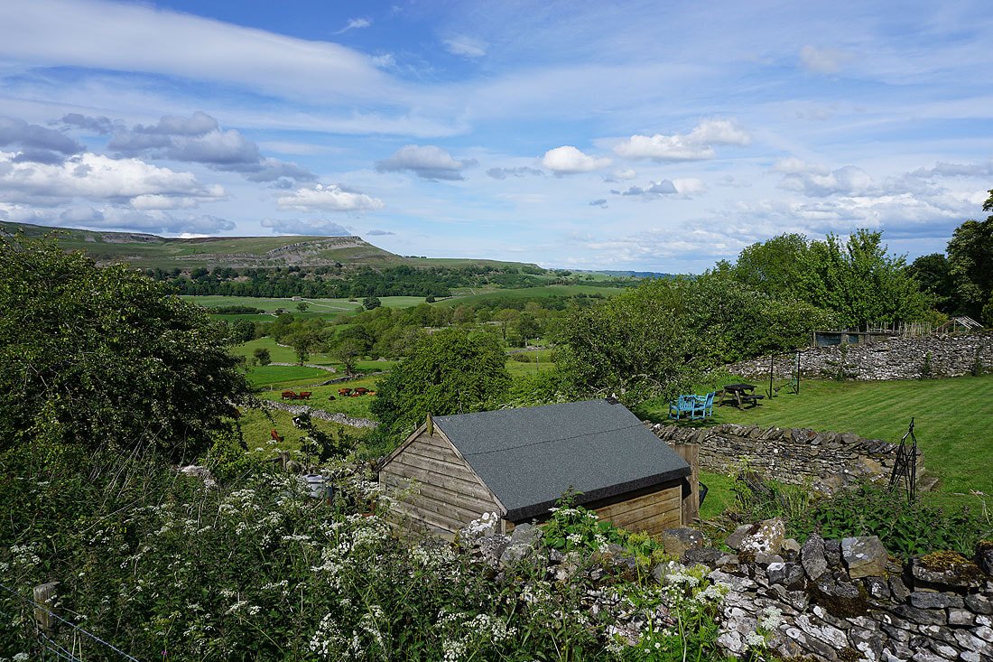
As the track gains height I have improving views looking up the length of Bishopdale
The track of Side Road and the bridleway from Thoralby is left for the bridleway up onto the moorland of Brown-a-haw
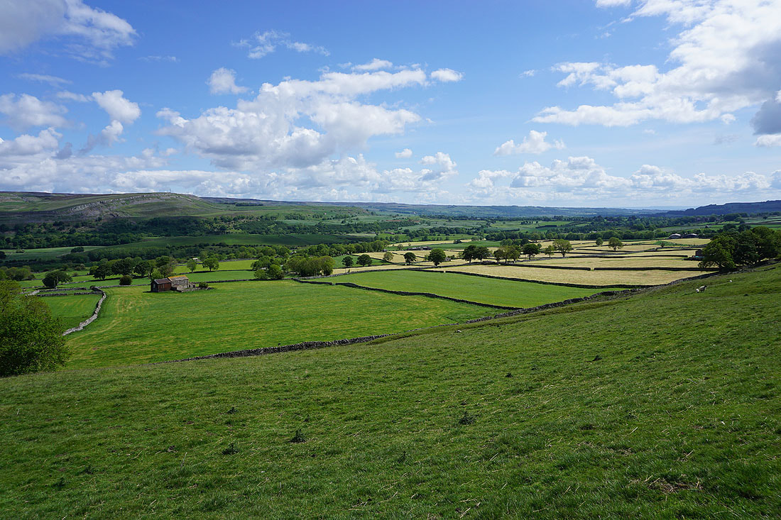
Looking down Bishopdale to Height of Hazely and Harland Hill
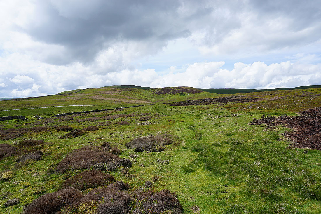
Brown-a-haw
Height of Hazely and Harland Hill from Brown-a-Haw
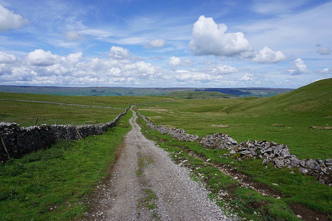
I join the track and bridleway of Stake Road on Brown-a-Haw and I'll follow this west up onto Stake Allotments

A spring gushes from the hillside and the track becomes a beck
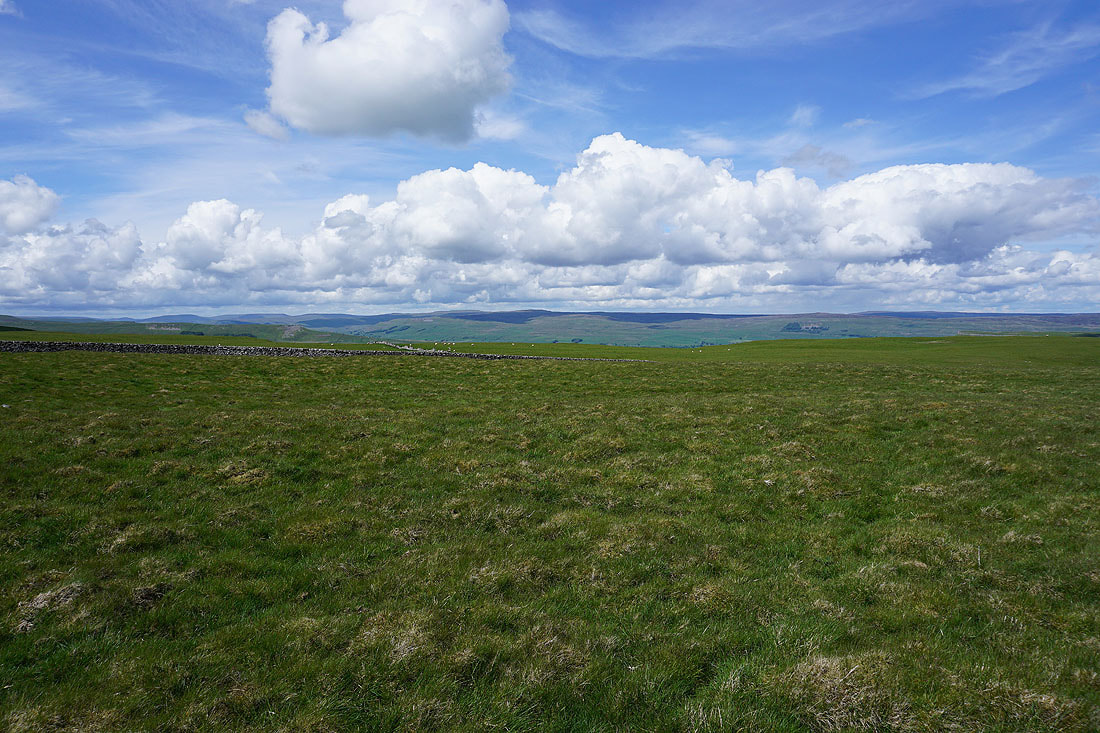
Looking back towards Wensleydale from Stake Road
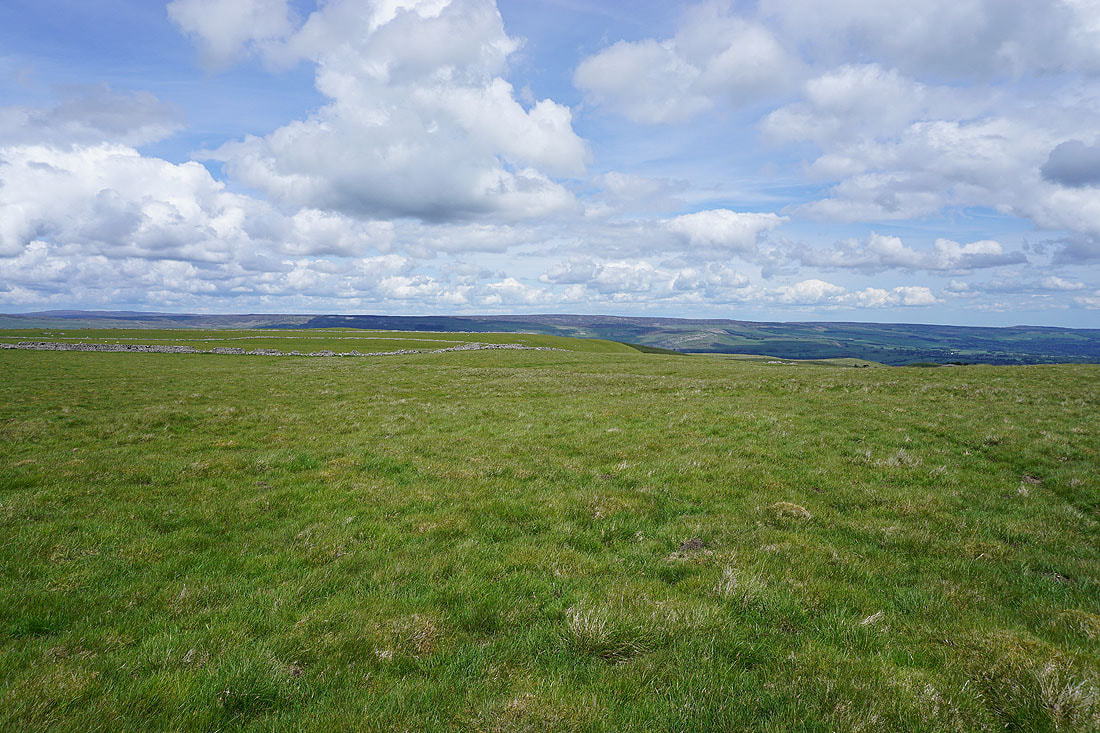
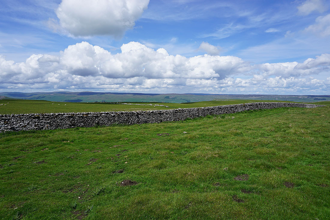
Fantastic big sky views across Wensleydale to the north as the bridleway makes it up onto Stake Allotments.....
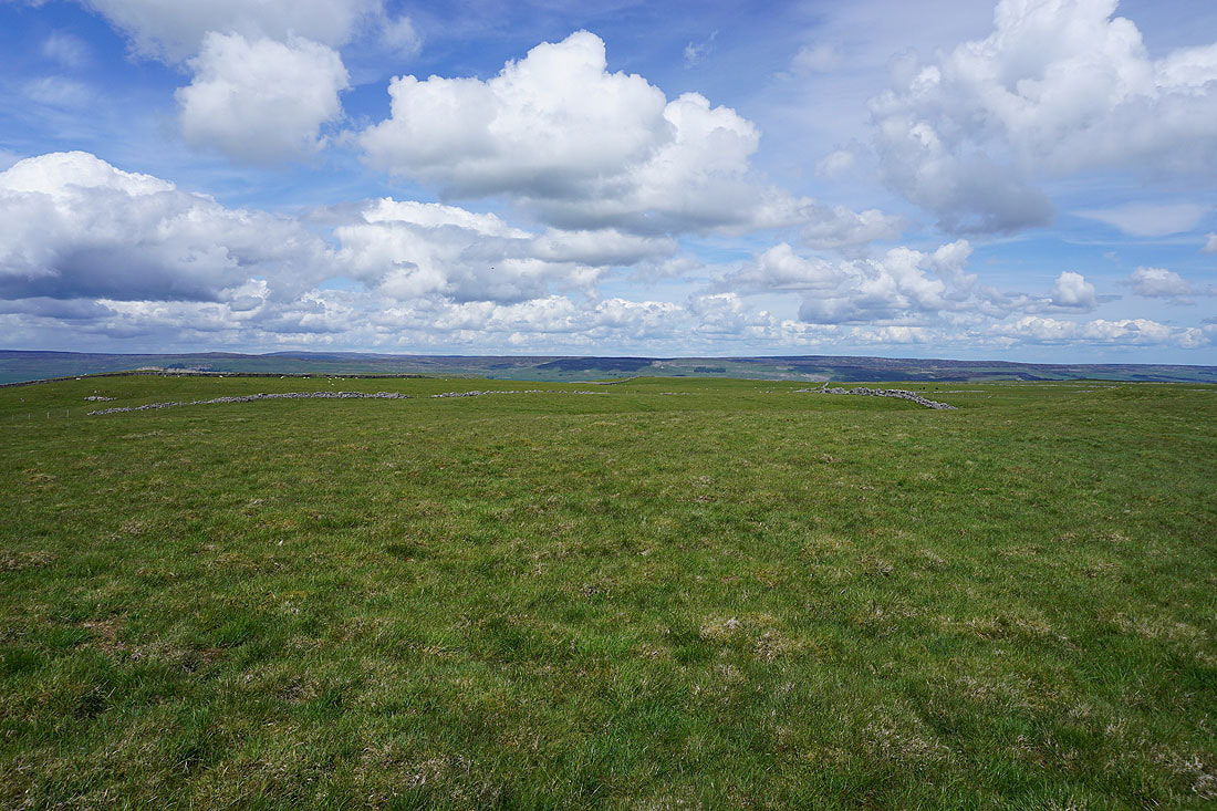
There's great visibility today. I can make out Swarth Fell and Wild Boar Fell, which are above Mallerstang, and then there's Great Shunner Fell and Lovely Seat on the other side of Wensleydale.
I couldn't resist taking several more photos of the views from up here. There was a great feeling of wide open spaces and distant horizons......
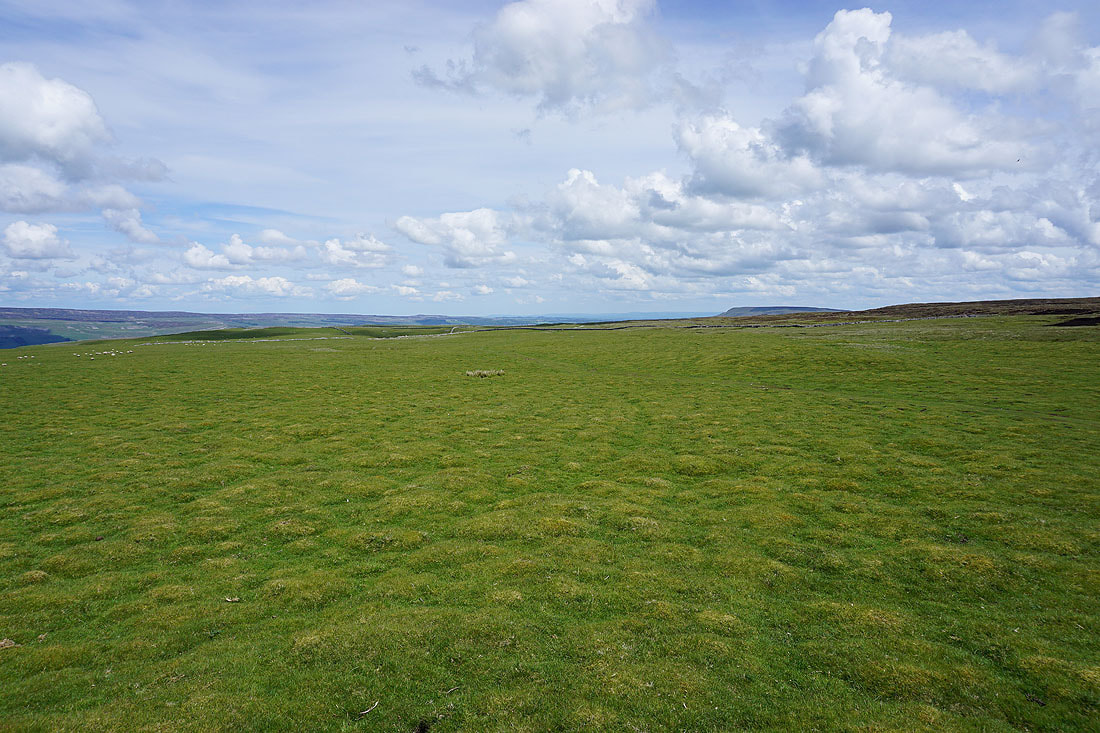
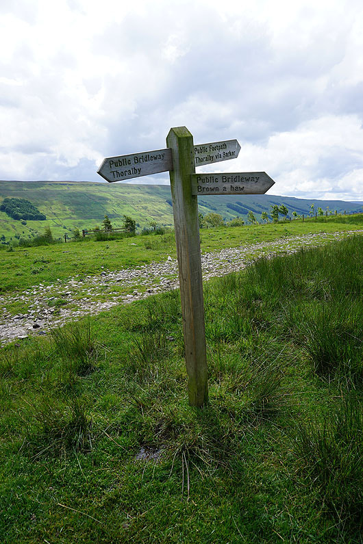
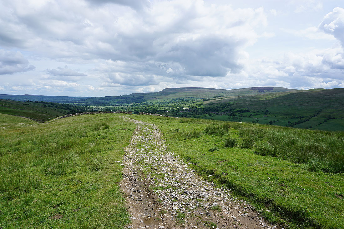
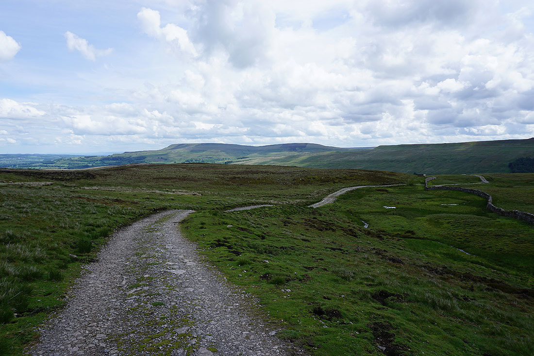
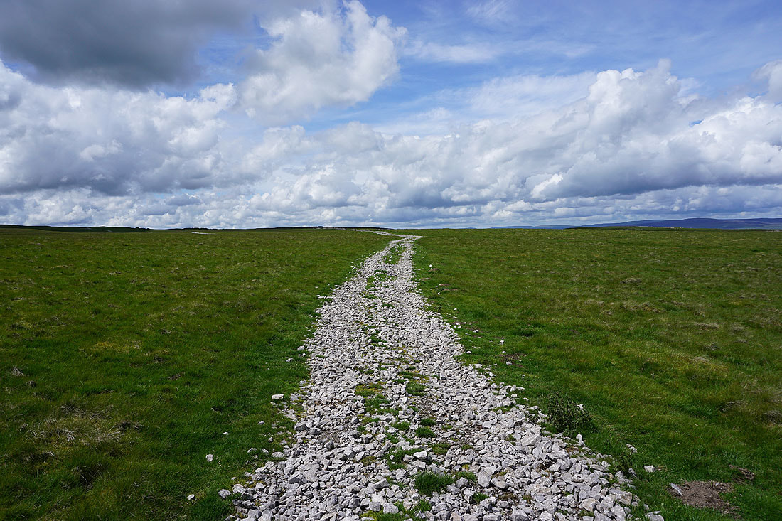
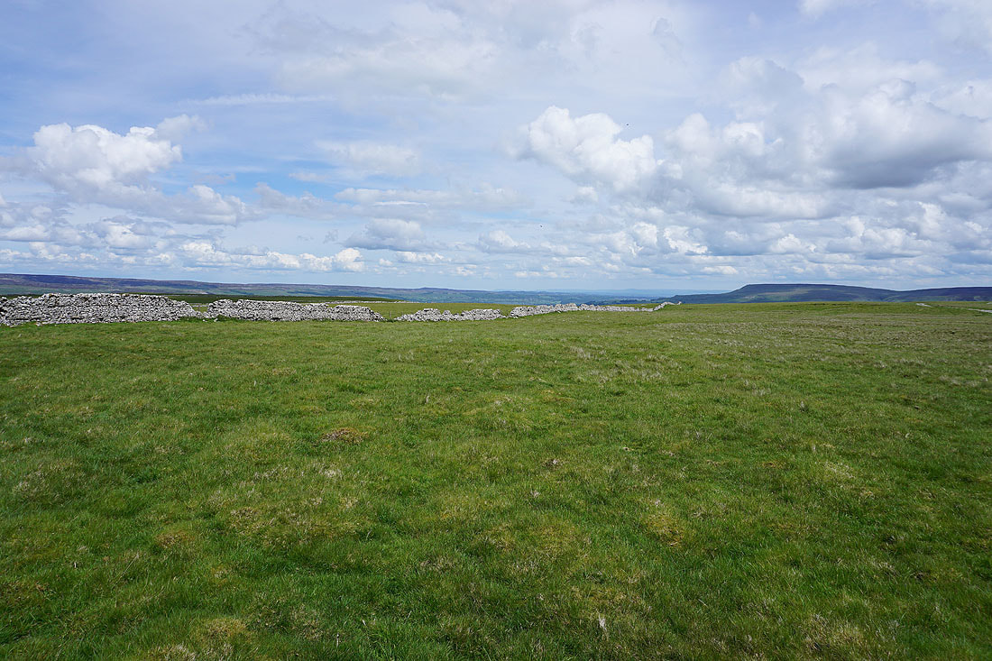
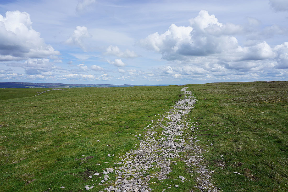
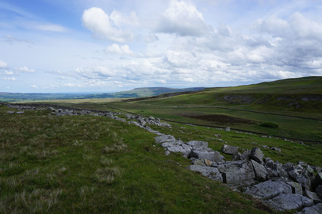
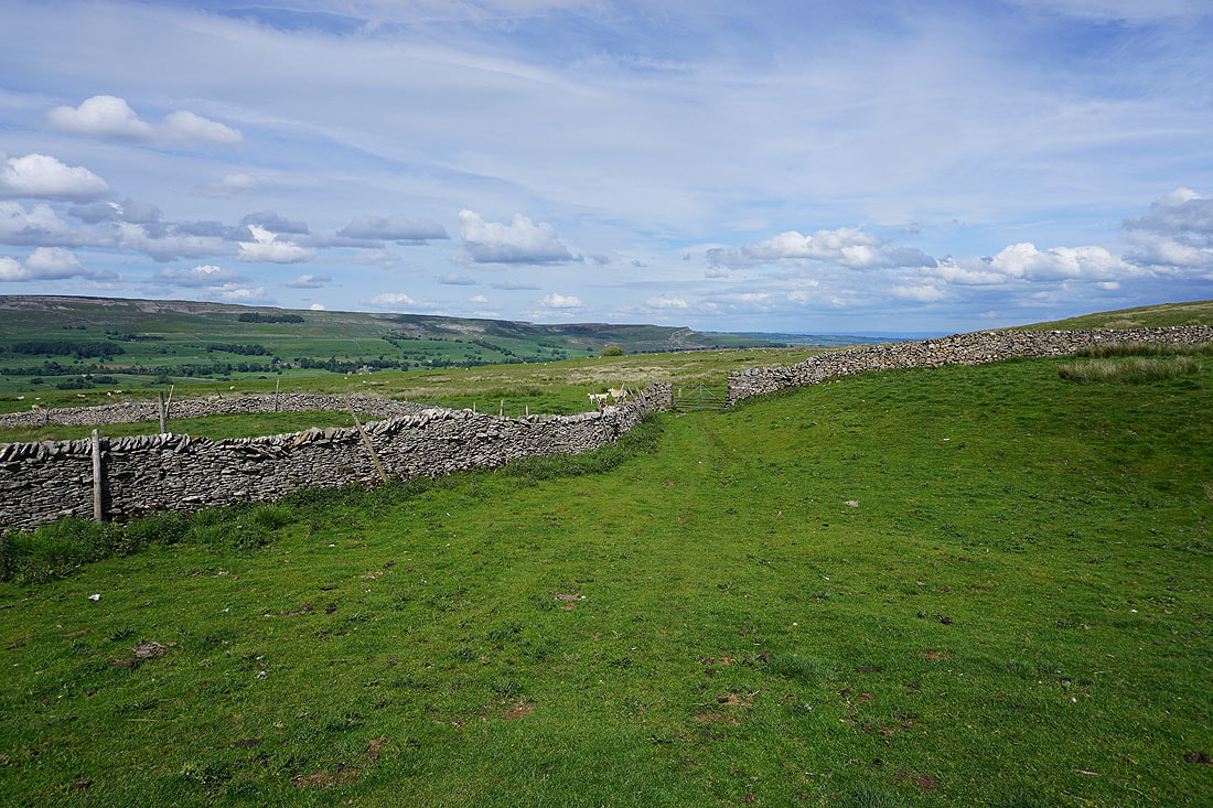
The bridleway across Stake Allotments comes to an end and I join the byway of Busk Lane which I'll follow down to Carpley Green Farm..
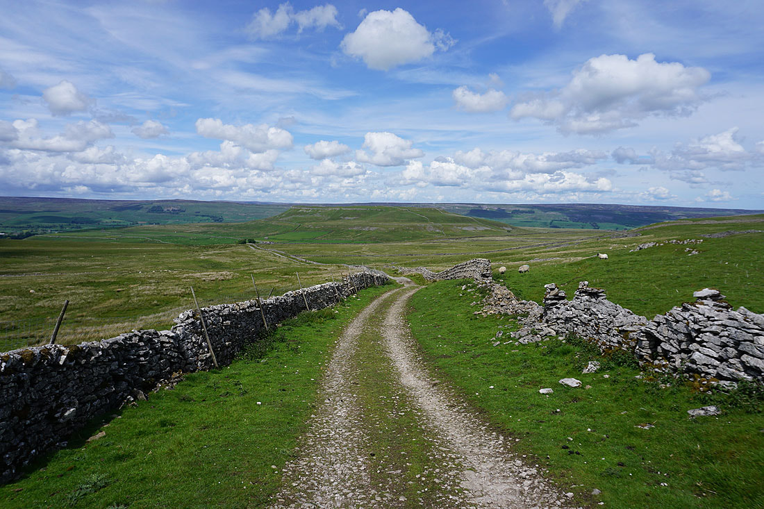
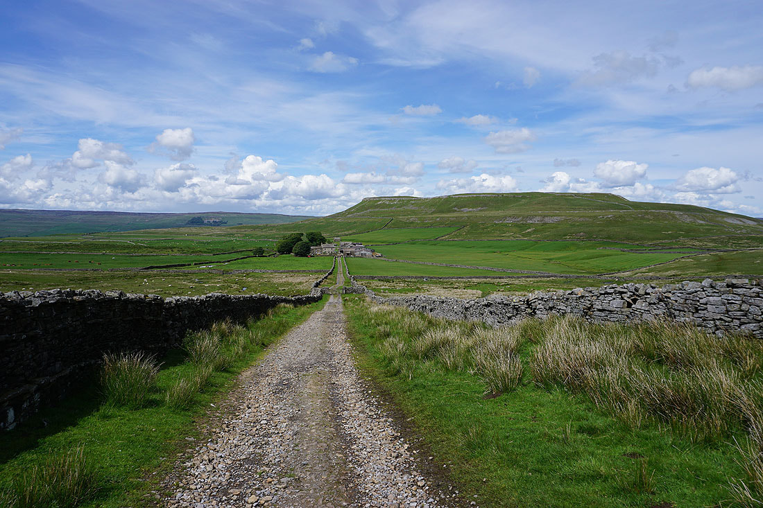
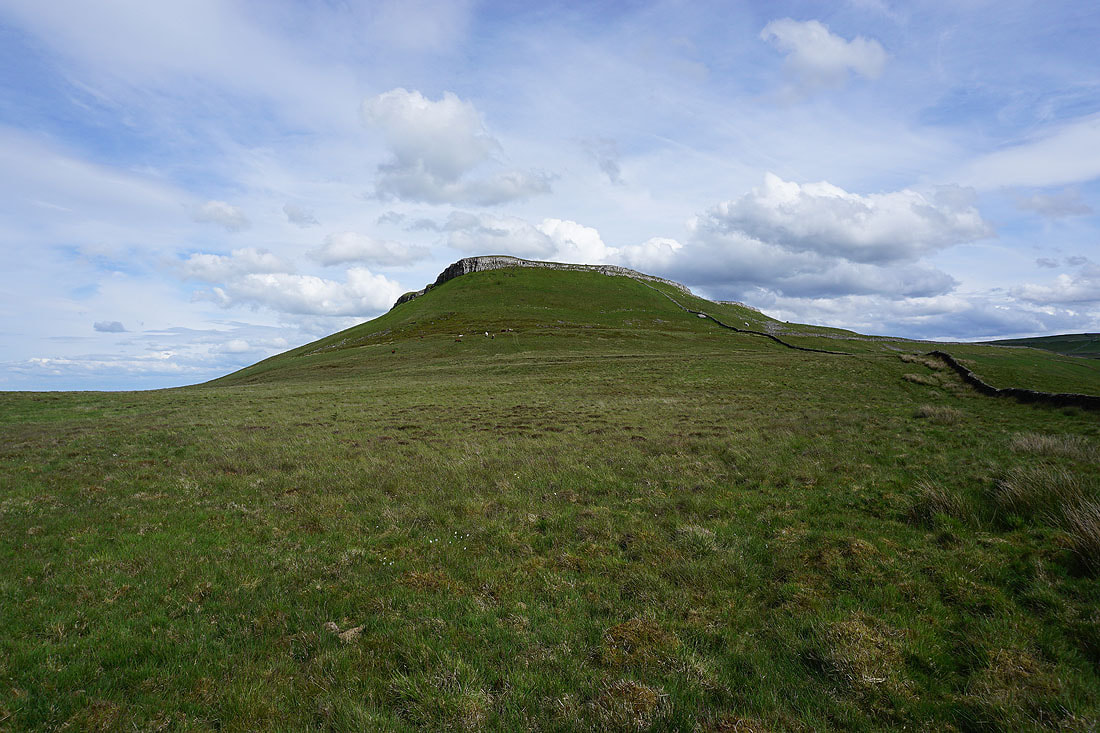
Approaching Carpley Green Farm with the hill of Addlebrough on the right
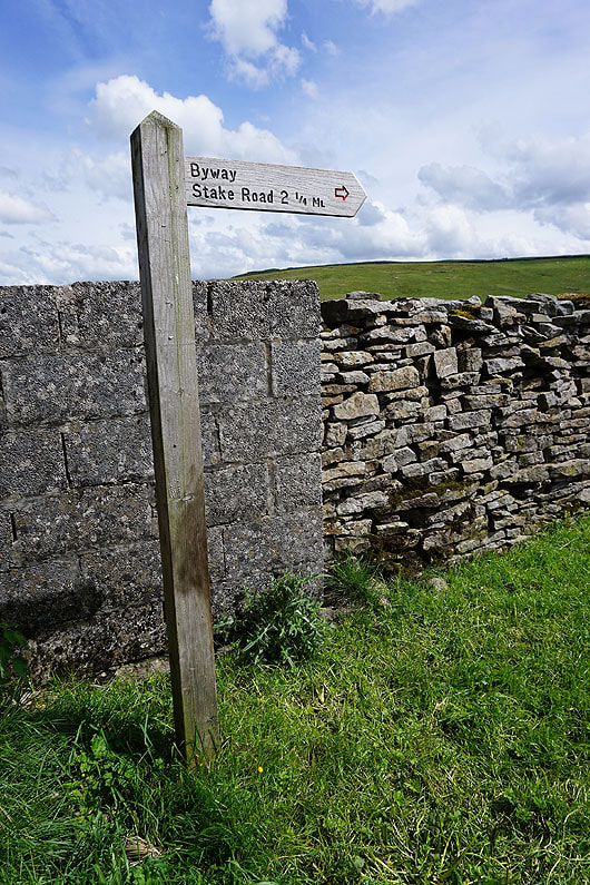
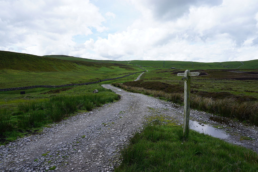
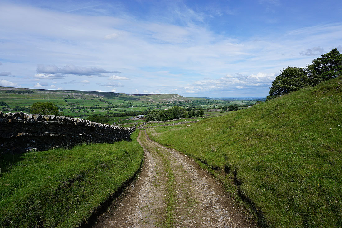
It's 2 1/4 miles back up Busk Lane to Stake Road from Carpley Green Farm
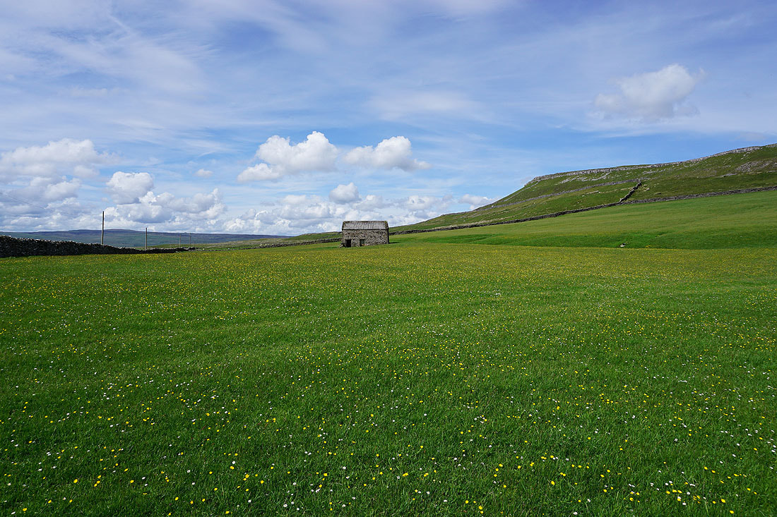
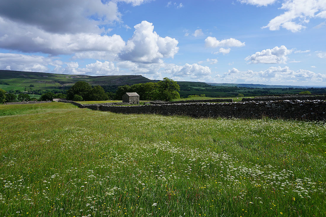
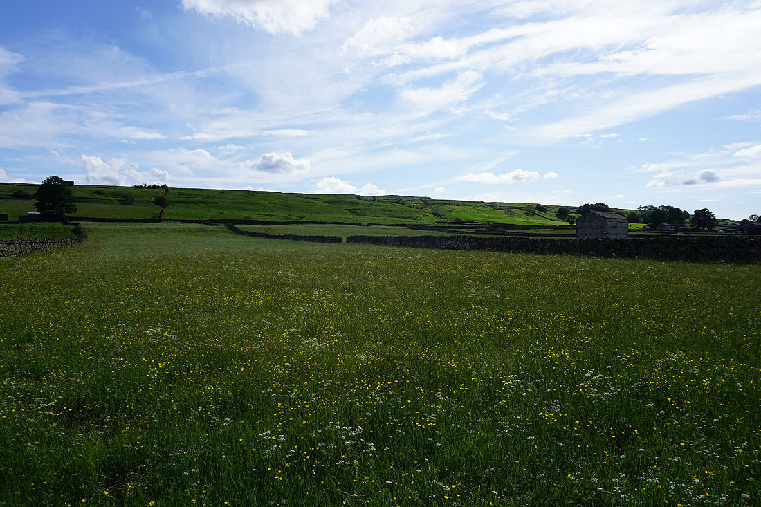
Barn and buttercups
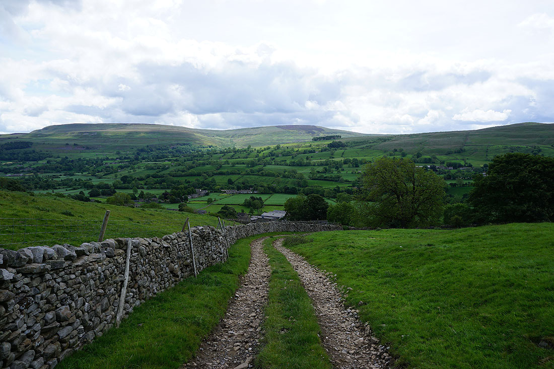
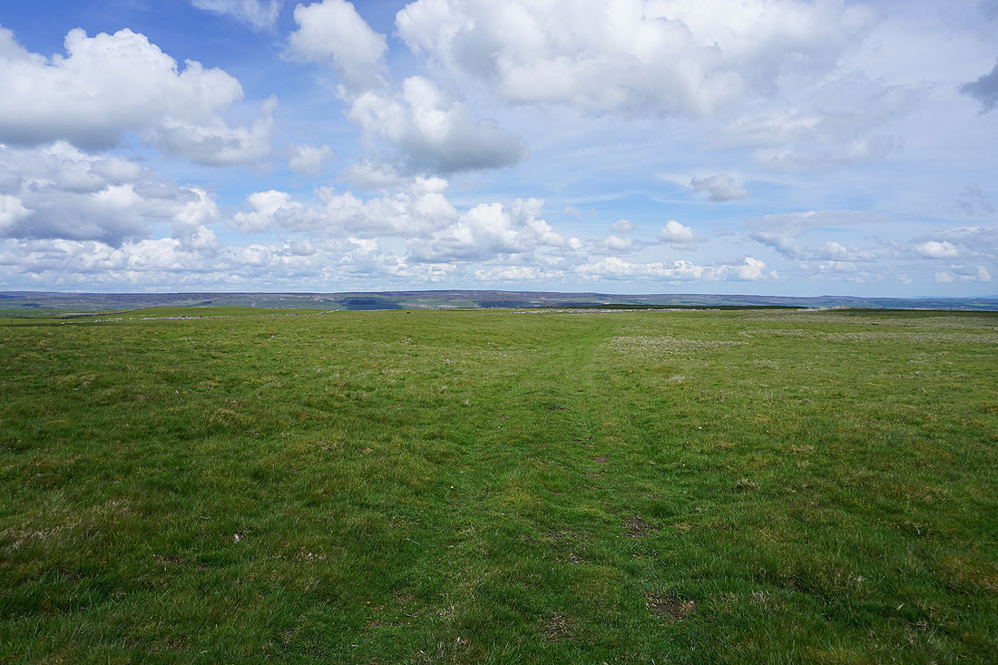
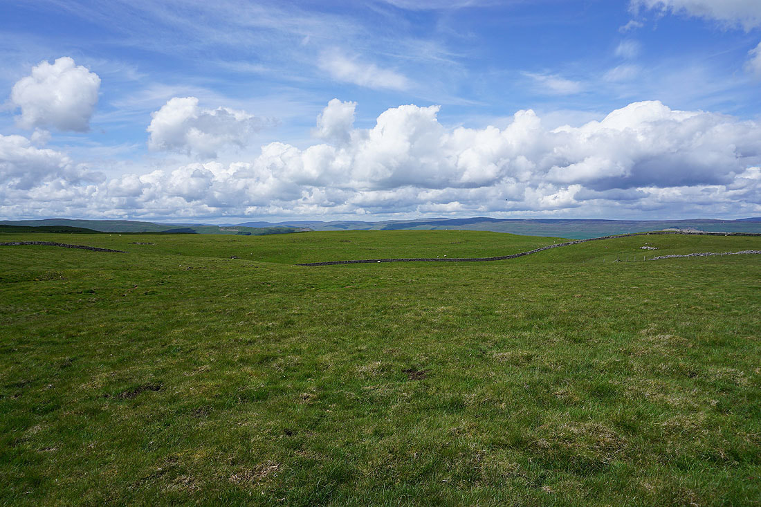
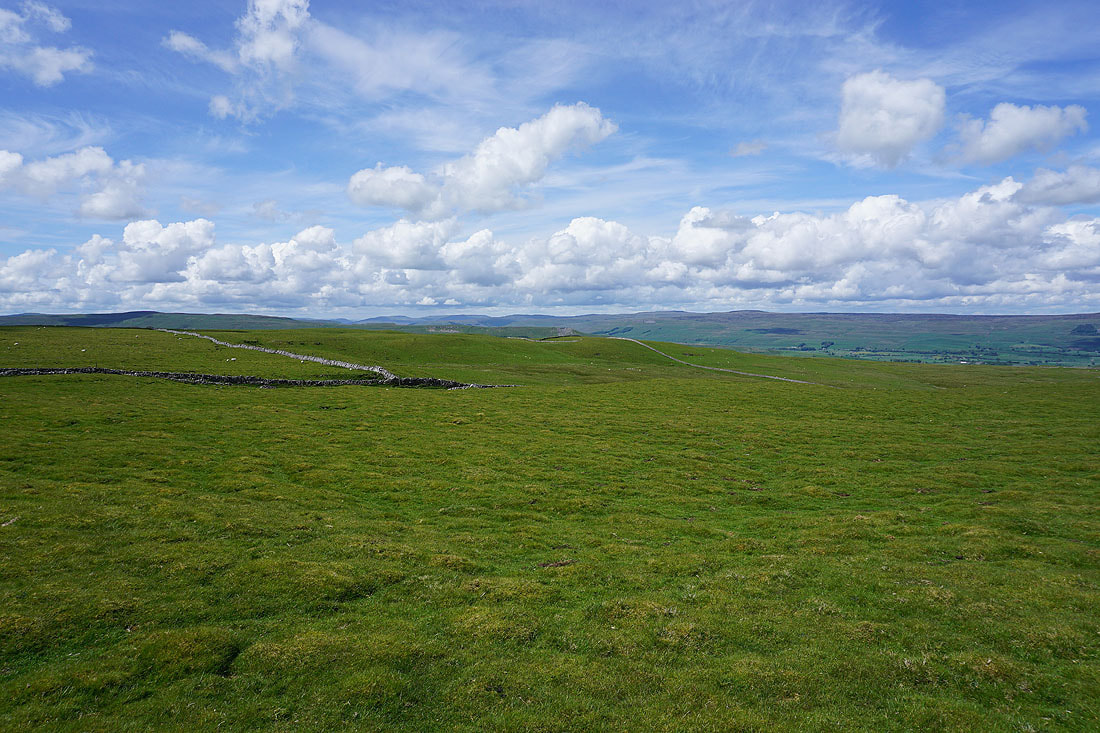
At the top of the bridleway up from Carpley Green Farm and there's a view down Wensleydale to Height of Hazely at the end of Bishopdale
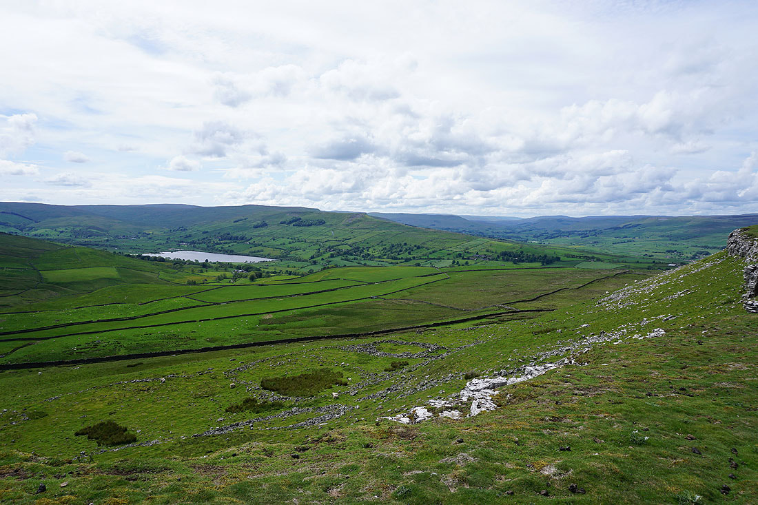
A great view of Semer Water and Raydale is revealed as I reach the southwestern edge of Addlebrough. That pattern of stones below is the "Settlement" that's marked on the OS map.
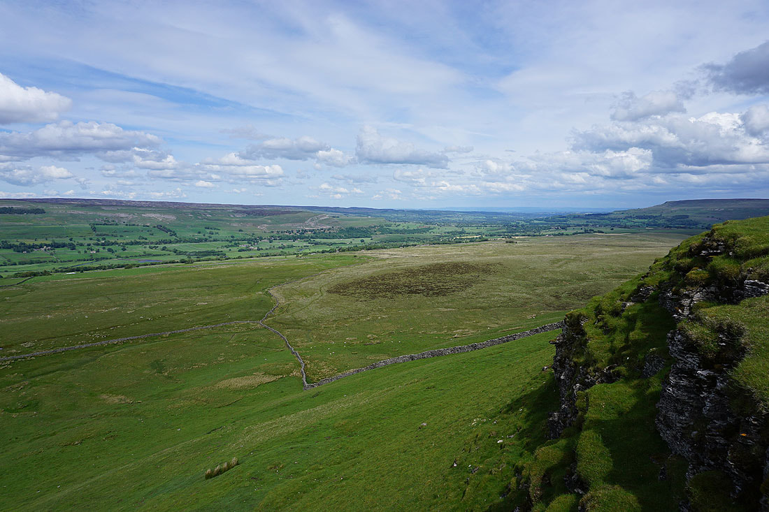
The view down Wensleydale from the northern edge of Addlebrough
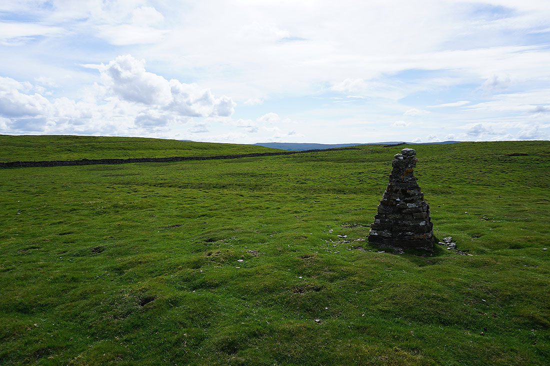
At the summit cairn on Addlebrough
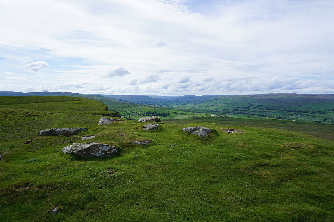
This collection of stones is all that remains of what was probably a tumulus
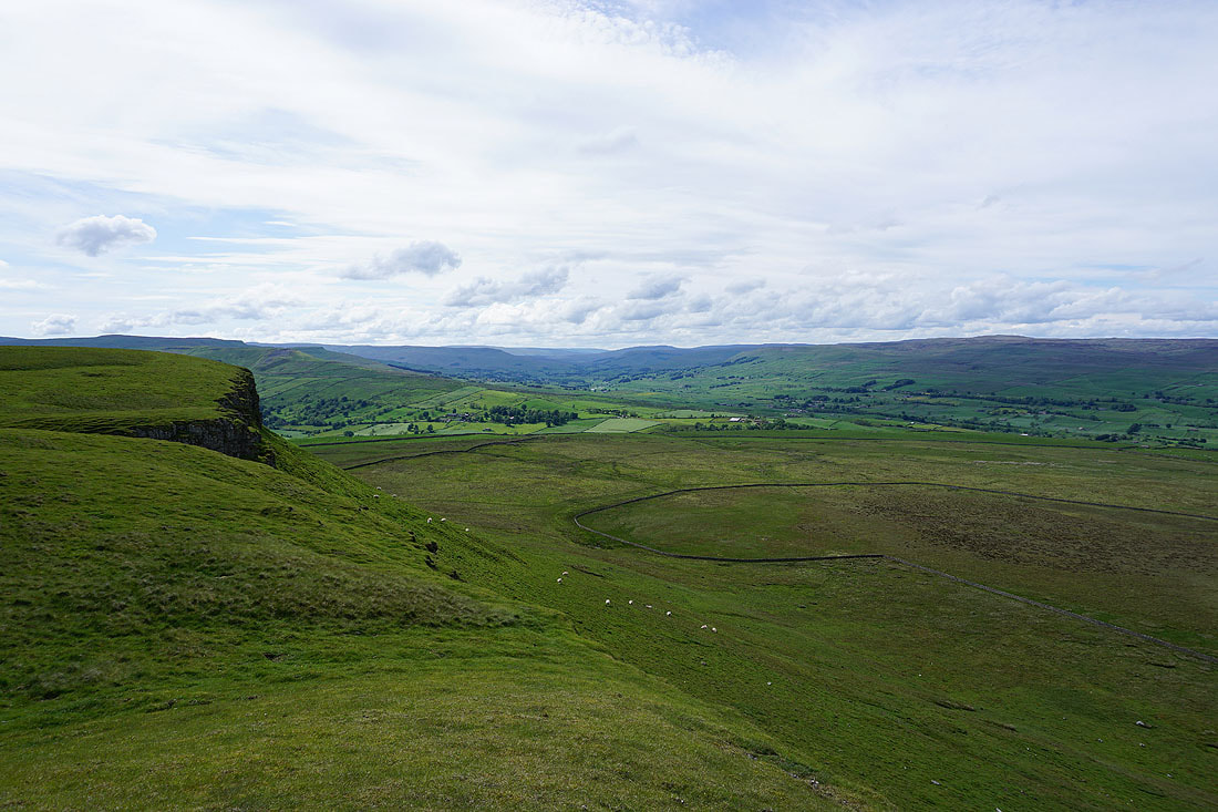
There's a great view to the west up Wensleydale from the northern edge of the hill
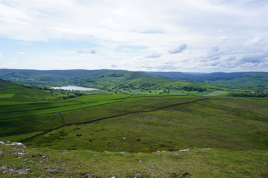
I think this is the best view from here though. Semer Water and the fells around Raydale.
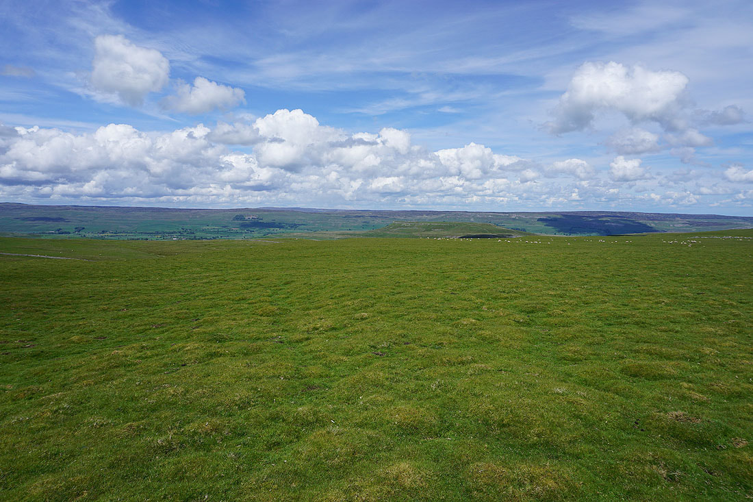
Addlebrough from the bridleway across Worton Pasture
Following the bridleway down to the hamlet of Cubeck...
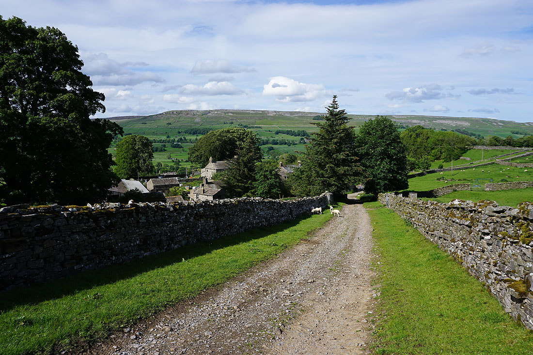
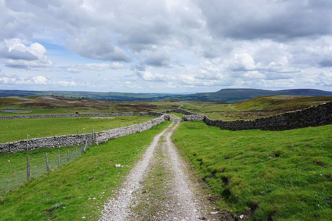
From Cubeck I have a walk along this road back to Thornton Rust

Buttercup filled pastures and barns to the south of the road..
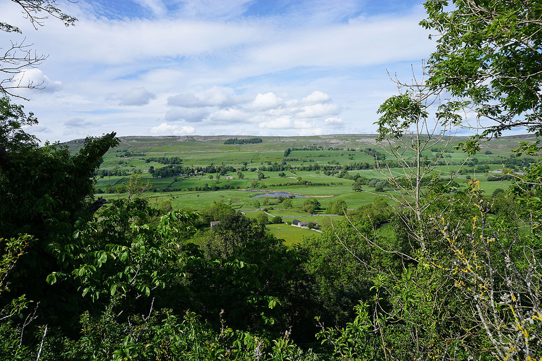
The road runs along the top of Thornton Scar, which is covered in woodland. Unfortunately there are very few gaps in it that give a view across Wensleydale.
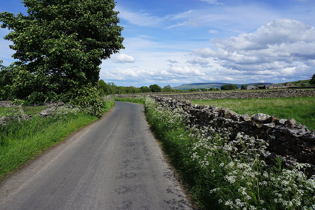
Wildflower filled verge..
..as I make it back to Thornton Rust
Taking in this view across Wensleydale to Ivy Scar from Nipe Lane was worth the short delay to making it back to where I was parked
I took a photo of this view just after setting off this morning. It definitely looks more beautiful in the late afternoon sun.