9th March 2019 - The Rough and Black Hill
Walk Details
Distance walked: 9.5 miles
Total ascent: 1662 ft
OS map used: 287 - West Pennine Moors
Time taken: 5 hrs
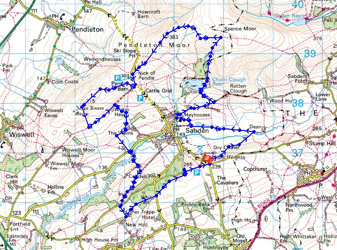
Route description: Back Lane, Black Hill-Padiham Heights-Sabden-Heyhouses-Churn Clough Reservoir-Spence Moor-Deerstones-Pendleton Moor-Nick of Pendle-The Rough-Wilkin Heys-Higher Whins-Whalley Road-Hillside Farm-Back Lane-Read Heights-White Hill-Trap Lane-Black Hill- Back Lane, Black Hill
It's a long time since I've had two weekends in a row without getting out on a walk somewhere because of bad weather, fortunately conditions improved enough for a local walk this afternoon, so that this wasn't one such occasion. I decided to do a route that took in some of the moorland around the village of Sabden and the valley of Sabden Brook. This took in the trig points on The Rough and Black Hill, both of which I've visited before, but starting from Spring Wood near Whalley. The afternoon was a mix of sunny spells and the odd brief passing shower with strong, cold and blustery wind throughout.
From the layby on Back Lane on Black Hill I walked east along Back Lane to its junction with Sabden Road, crossed the road, and took the footpath opposite down Padiham Heights in a northeasterly direction to Sabden Brook. After crossing Sabden Brook I picked up a bridleway and followed it west to reach Sabden at the church of St. Nicholas. From here I followed the bridleway around to the right, then uphill past Heyhouses and New York Farm, and on towards Ratten Clough Farm. As the bridleway reached a cattle grid as it approached Ratten Clough Farm I turned left and took a footpath uphill to reach Churn Clough Reservoir, where a bench proved to be a good place to stop for break. I then made my way around to the northeastern corner of the reservoir to cross a stile onto access land to make an ascent of Churn Clough onto Spence Moor (there's a clear enough path to follow). Once on Spence Moor I made my way across to Deerstones before heading across Pendleton Moor to the Nick of Pendle, where after crossing the road and taking the bridleway opposite I made my way across the moorland of The Rough to the trig point. After taking in the view I descended south on access land to reach the bridleway below which I followed east to Wilkin Heys. From Wilkin Heys I then took a footpath south down to Higher Whins, then west and then south down to Lamb Row on Whalley Road. I then crossed the road and followed a track across Sabden Brook and up to Hillside Farm, then the footpath round the farm and up the hillside below Robinson's Wood to Back Lane. Here I turned right, walked briefly down the road and took the footpath on the left along a track towards some farm buildings, before following a footpath northeast across Read Heights and through woodland to Trap Lane. I crossed Trap Lane and followed the path uphill through fields next to Well Wood to reach Back Lane, where a stile on its other side lets you onto access land and the trig point on Black Hill. After returning to Back Lane I was left with a short walk back to the layby where I was parked.
Route map
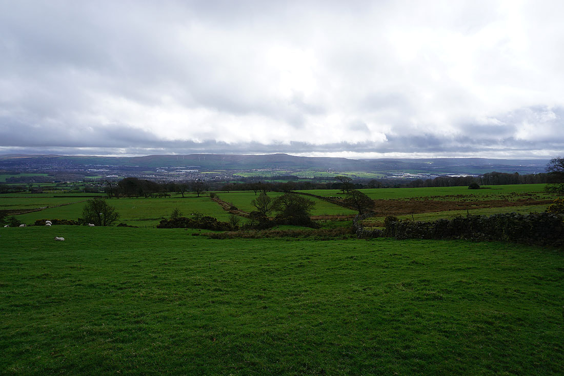
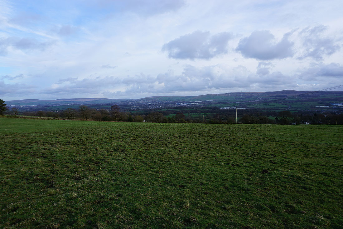
Hameldon Hill in the distance from the layby where I'm parked
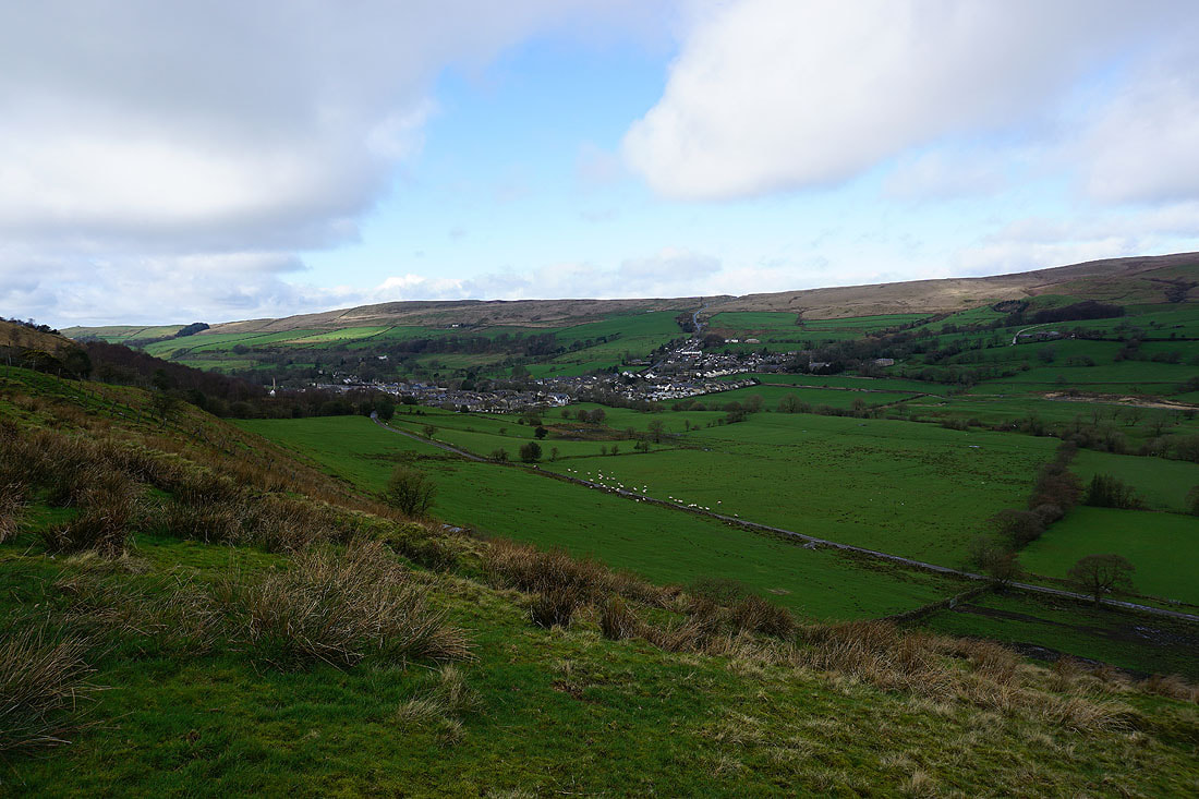
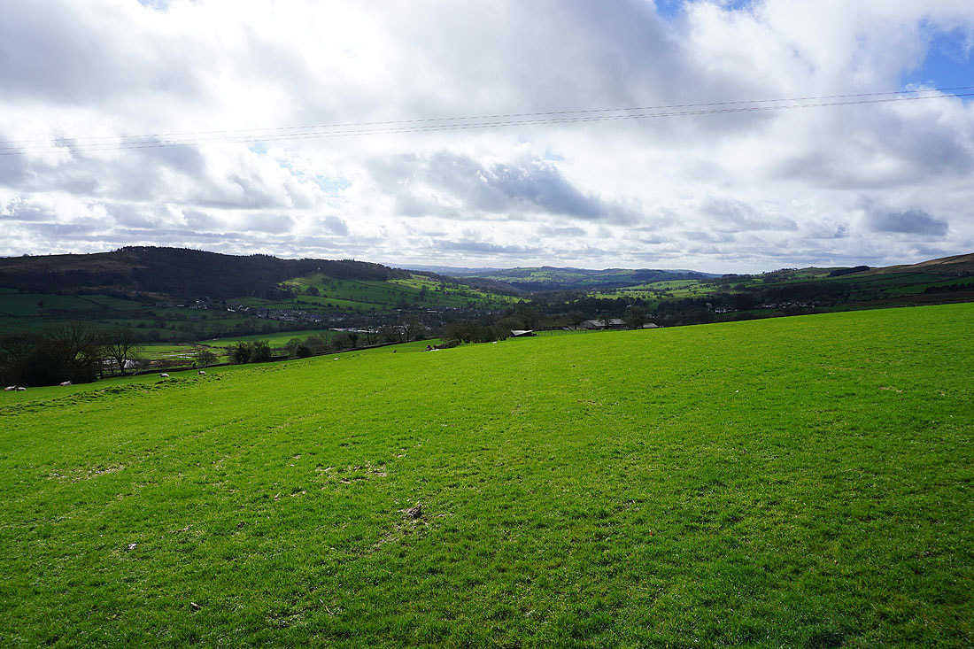
The village of Sabden..
..as I head down into the valley of Sabden Brook
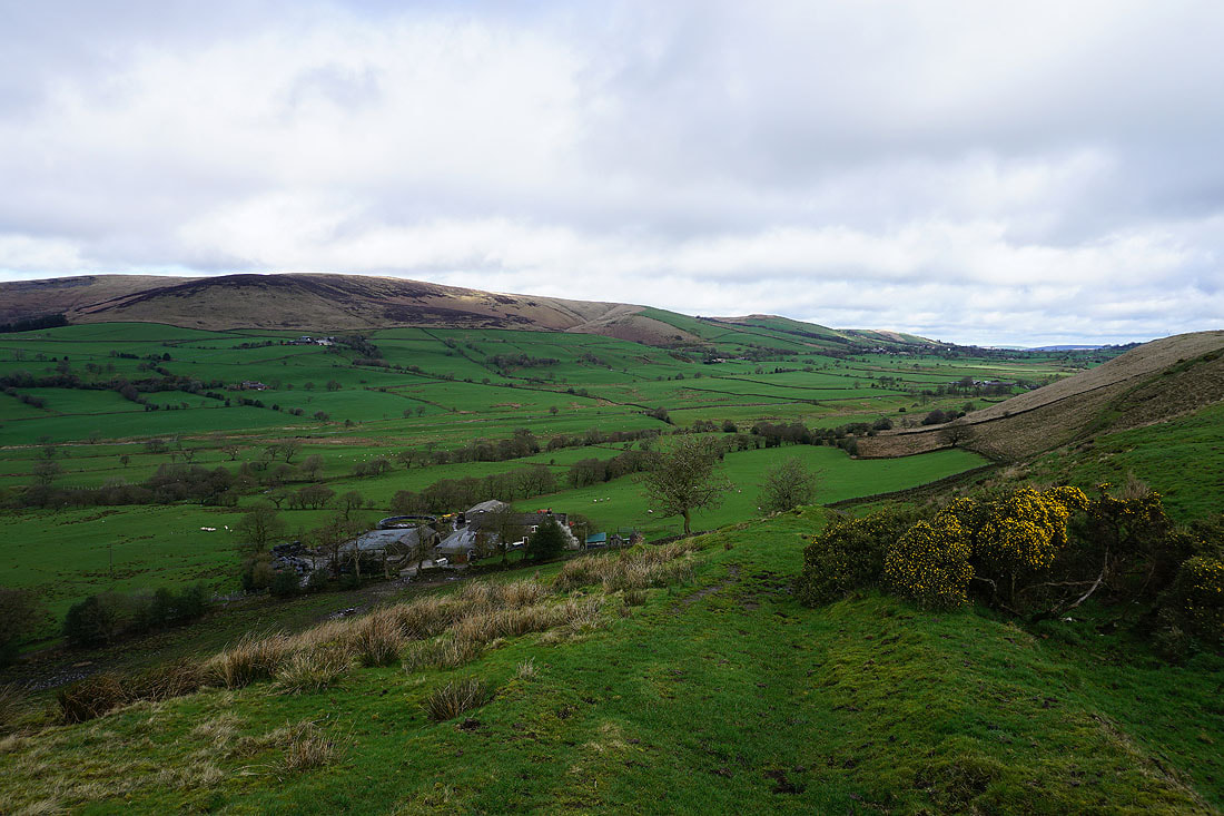
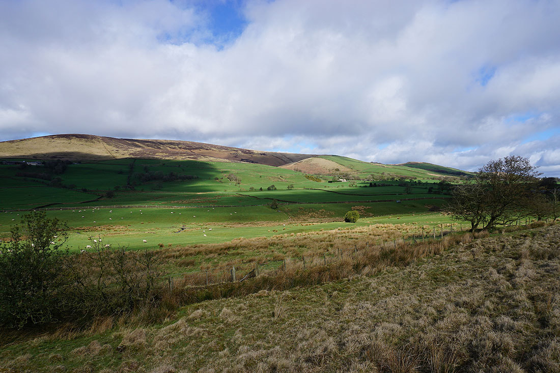
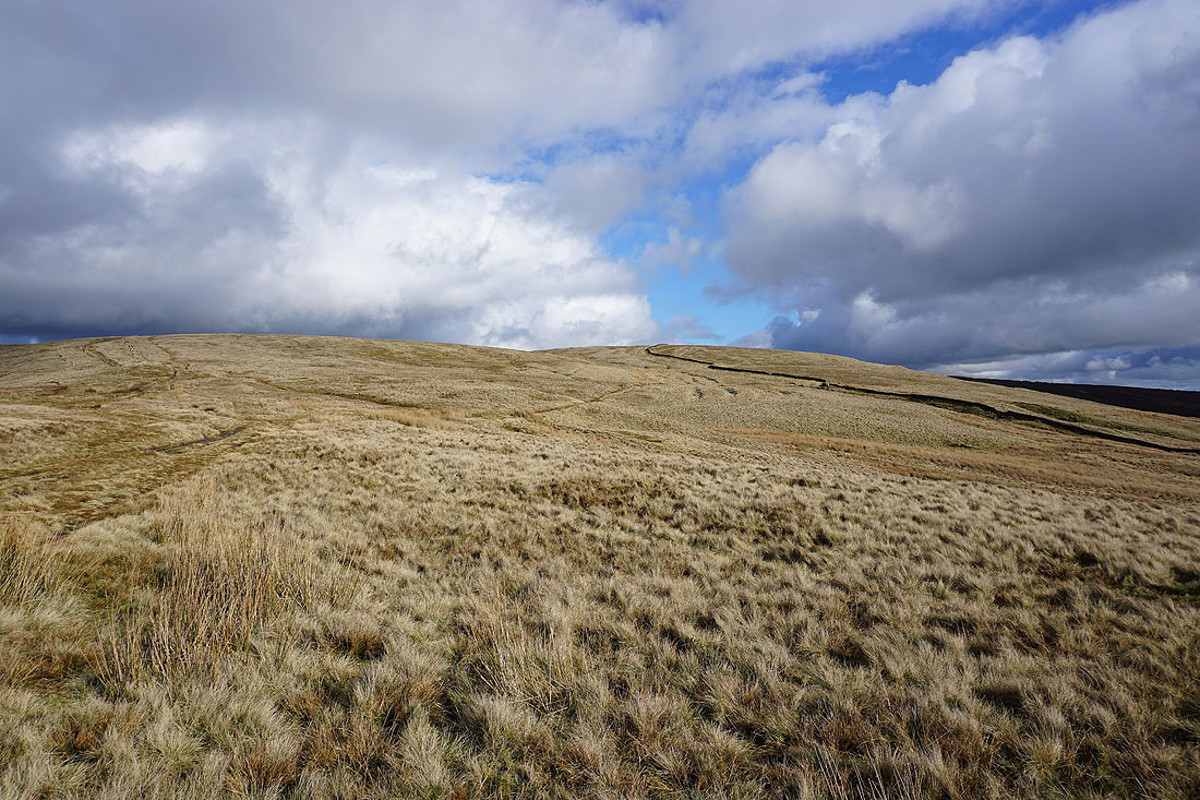
Sunshine on Spence Moor
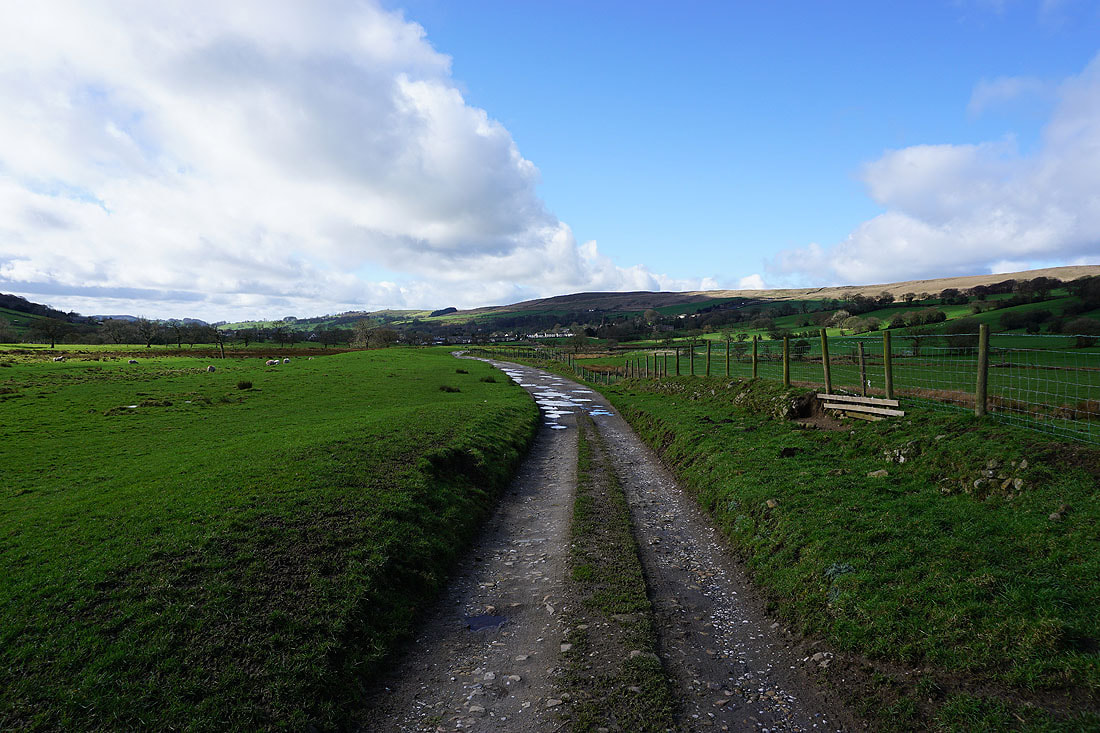
On the bridleway to Sabden
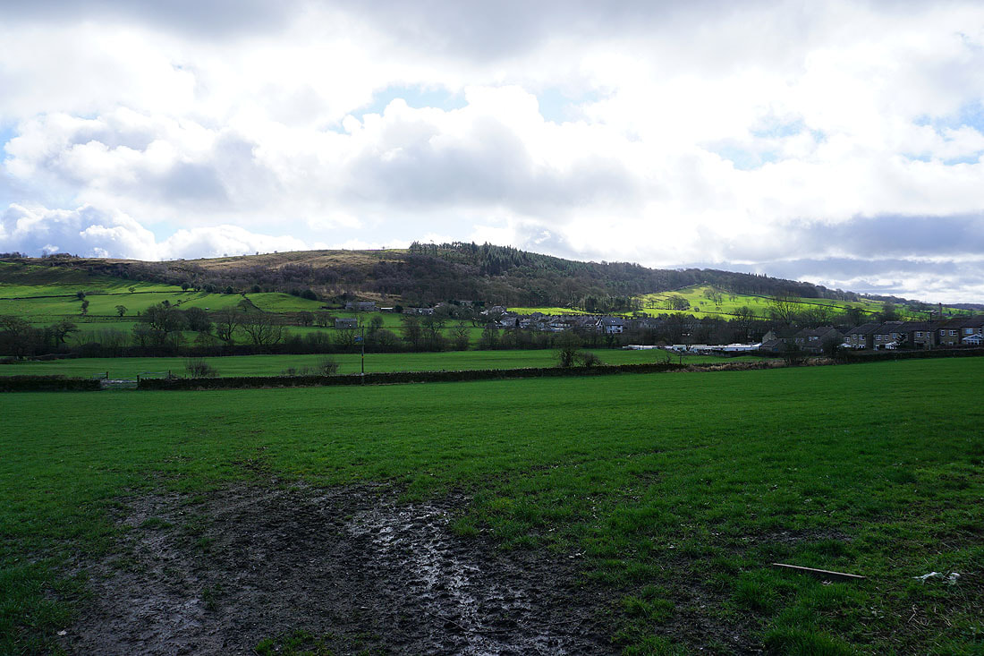
The wooded Black Hill. My walk started from the road that runs along its crest.
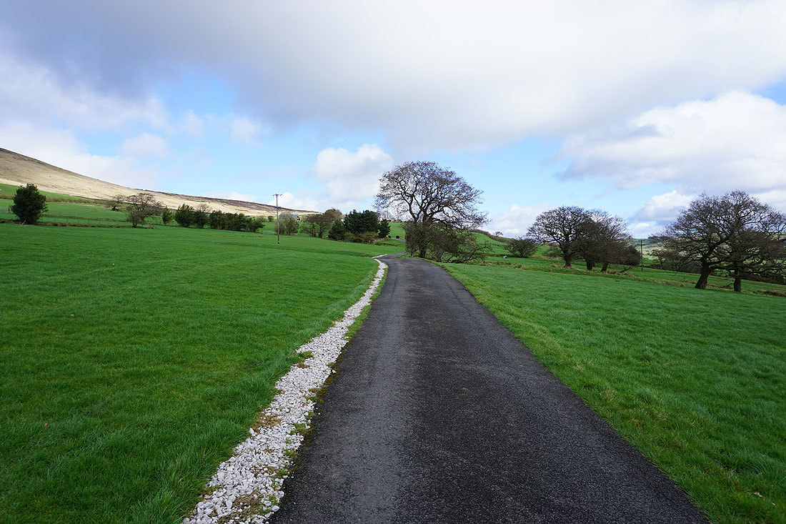
I leave Sabden on a bridleway towards Churn Clough Reservoir
Black Hill and Sabden behind me
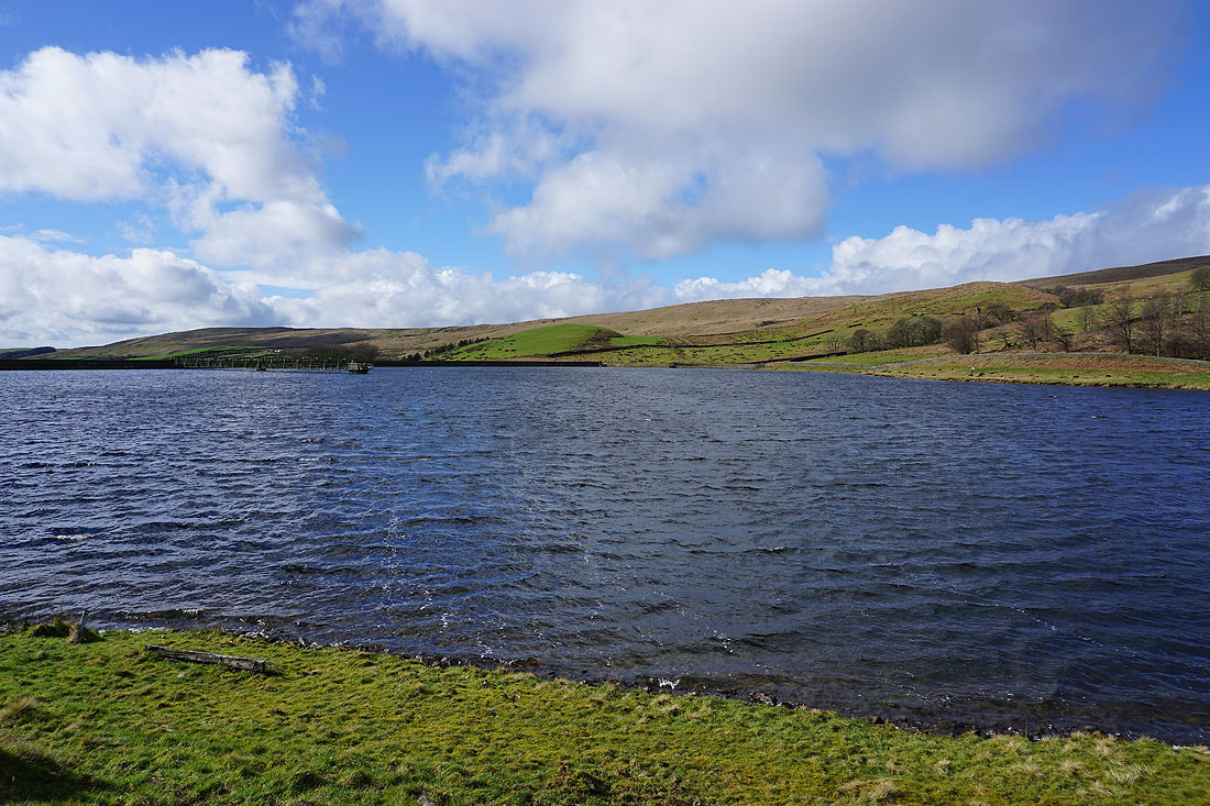
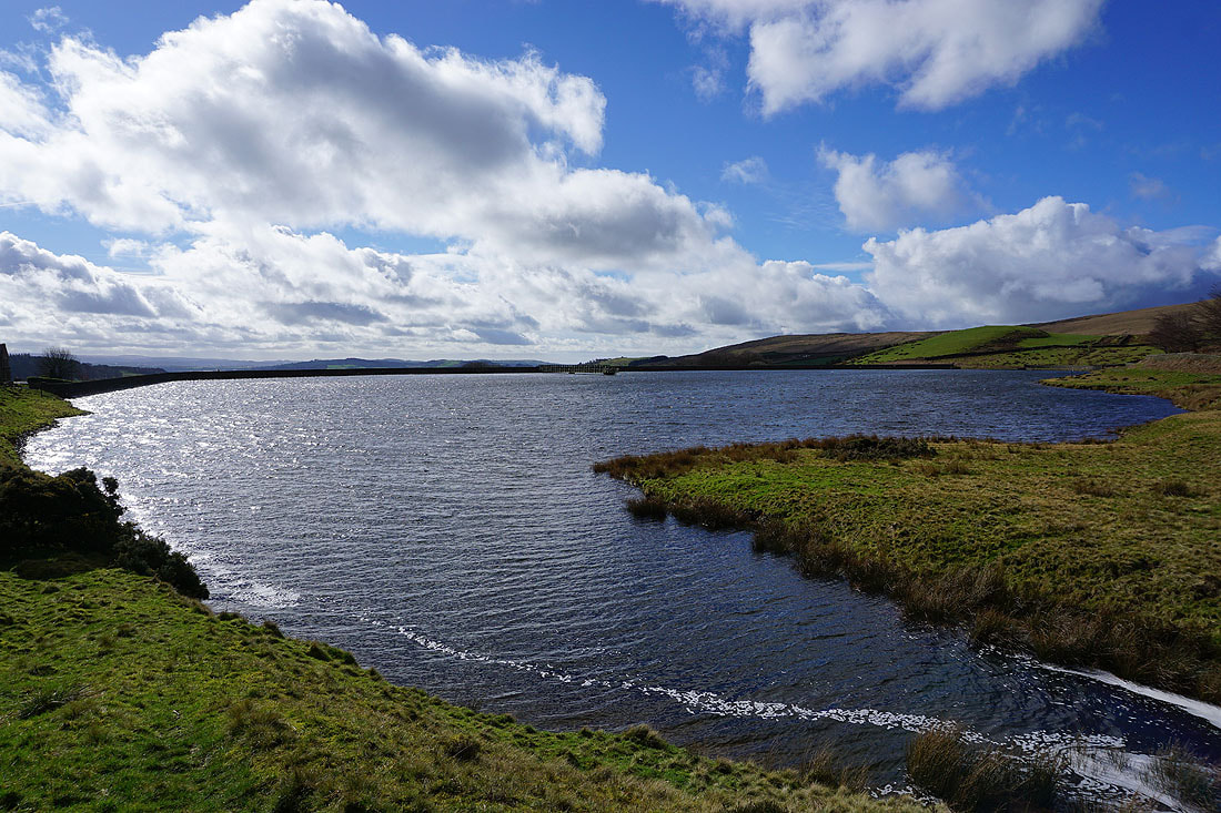
Sat on a bench next to a windswept Churn Clough Reservoir. A convenient place to stop for lunch.
Churn Clough Reservoir is left behind..
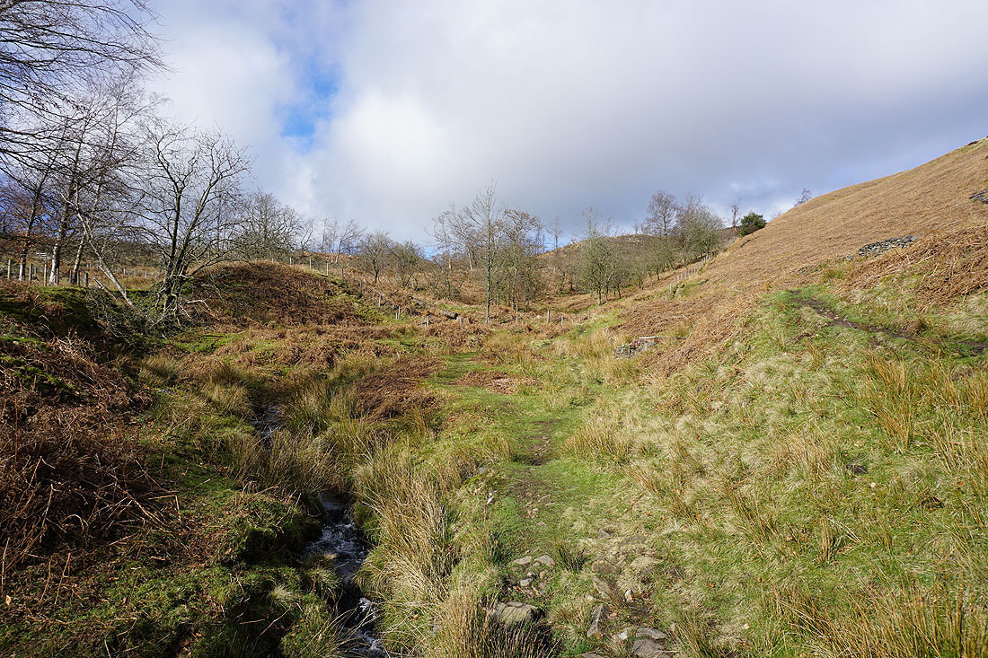
..to head up Churn Clough towards Deerstones and Spence Moor..
Longridge Fell, Parlick, Fair Snape Fell and Totridge in the distance from Spence Moor
and the same from the top of Deerstones
Black Hill, Churn Clough Reservoir and Sabden with the West Pennine Moors in the distance
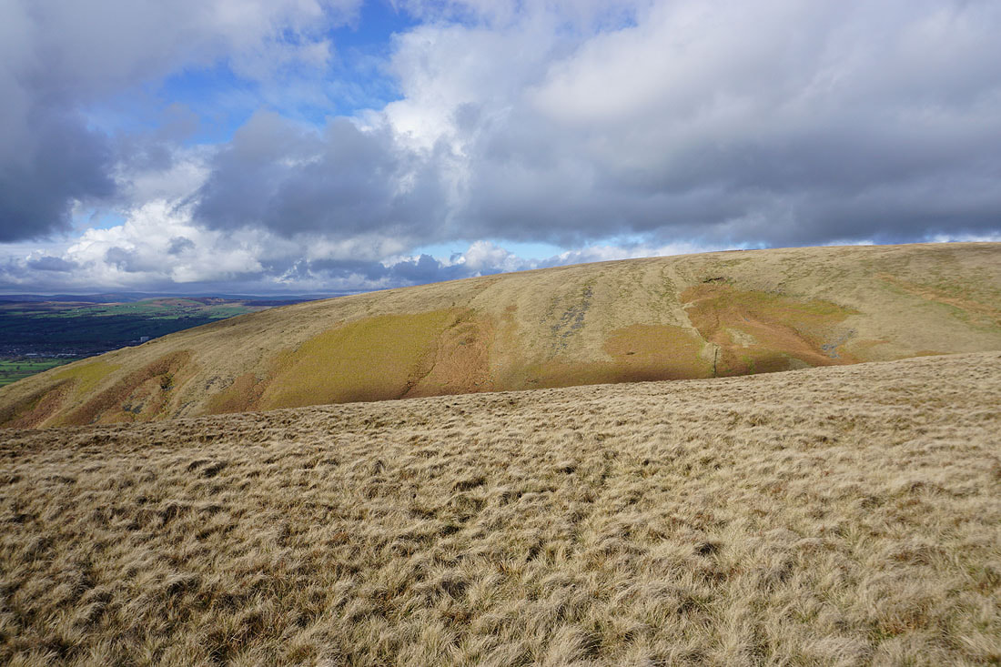
Moorland colours on Spence Moor..
..and on Mearley Moor
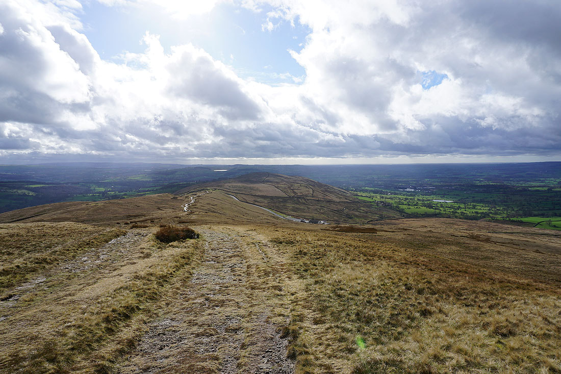
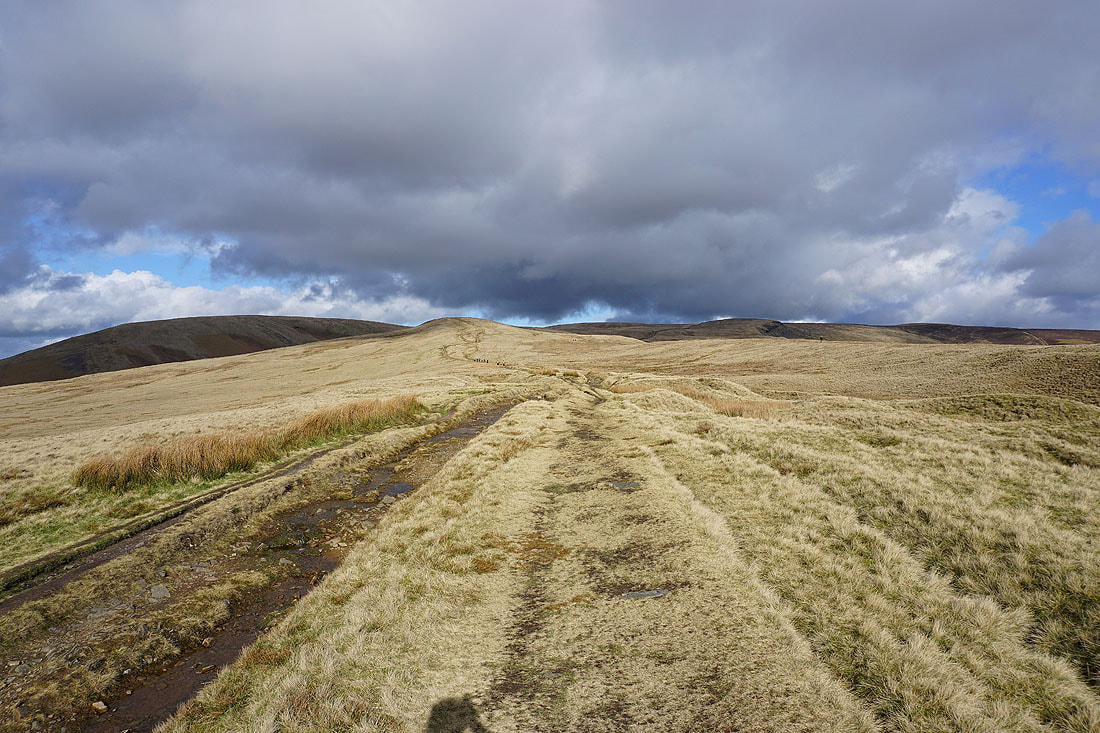
Heading across Pendleton Moor to the Nick of Pendle
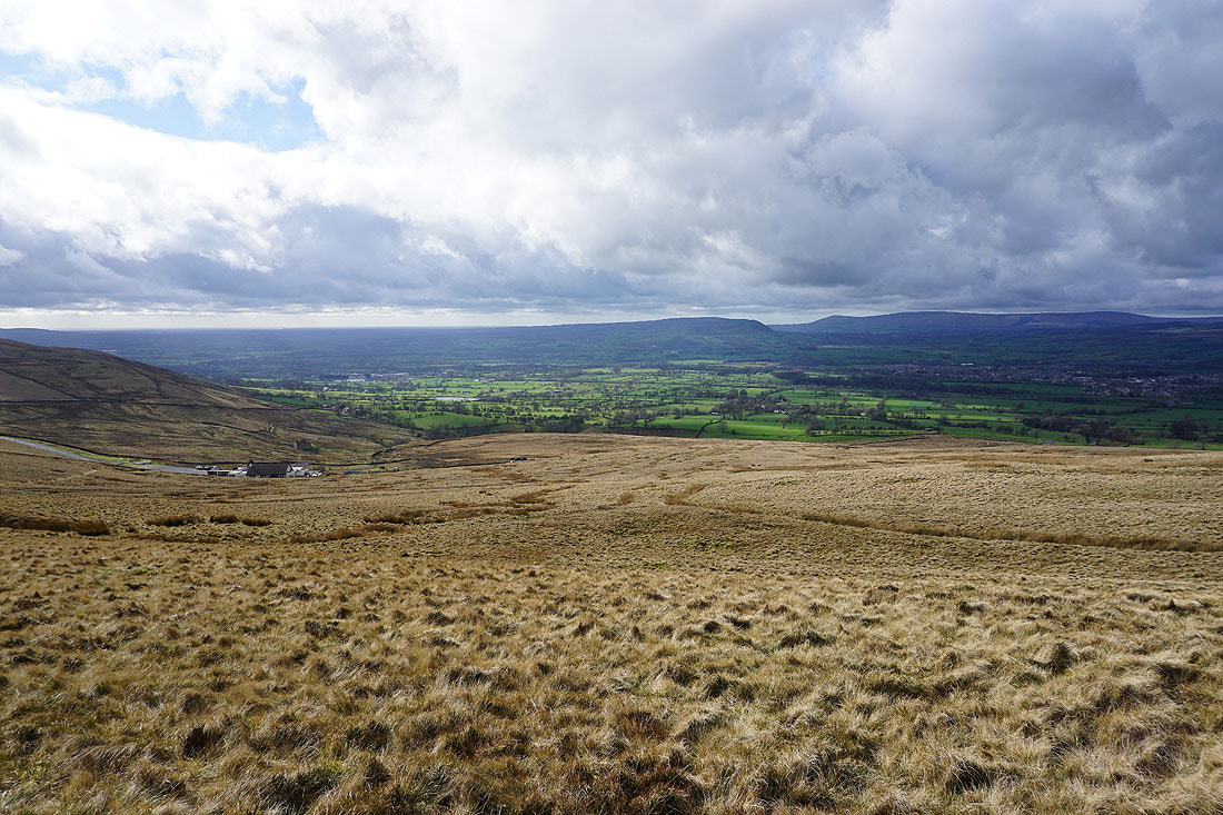
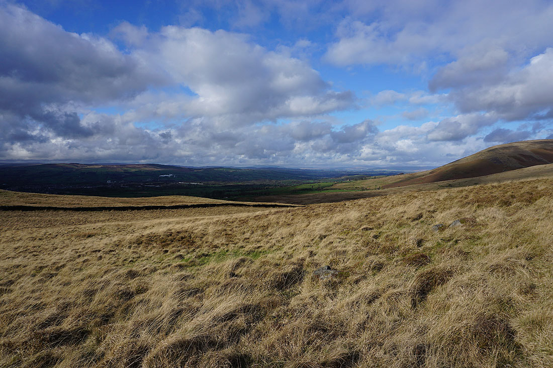
The Ribble Valley, Longridge Fell and Clitheroe to my right
The bulk of Pendle Hill behind me as I reach the Nick of Pendle
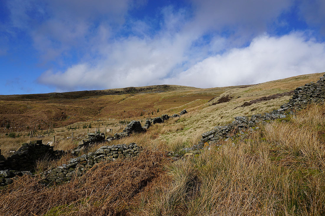
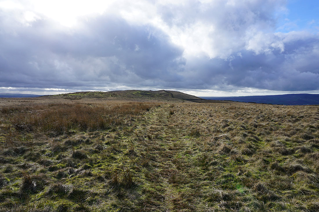
After crossing the road over the Nick of Pendle, onto the moorland of The Rough
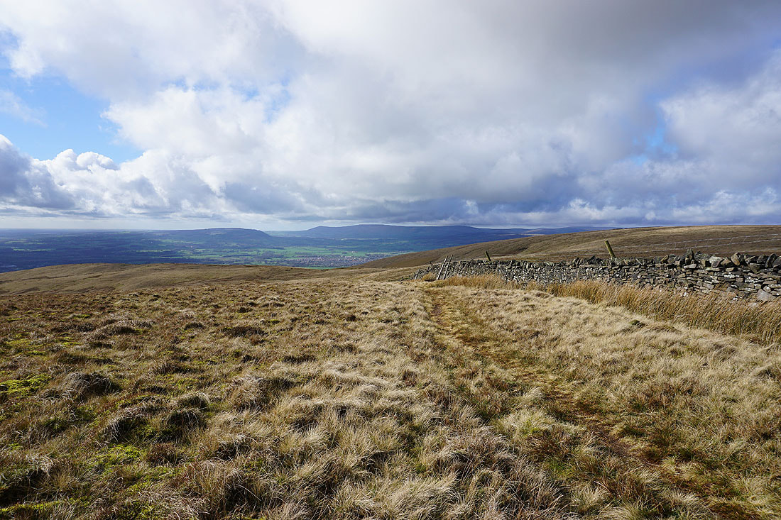
Now that Pendle Hill isn't in the way I can look up the Ribble Valley to Ingleborough and Penyghent in the Yorkshire Dales
A brief passing shower makes for some dramatic photos....
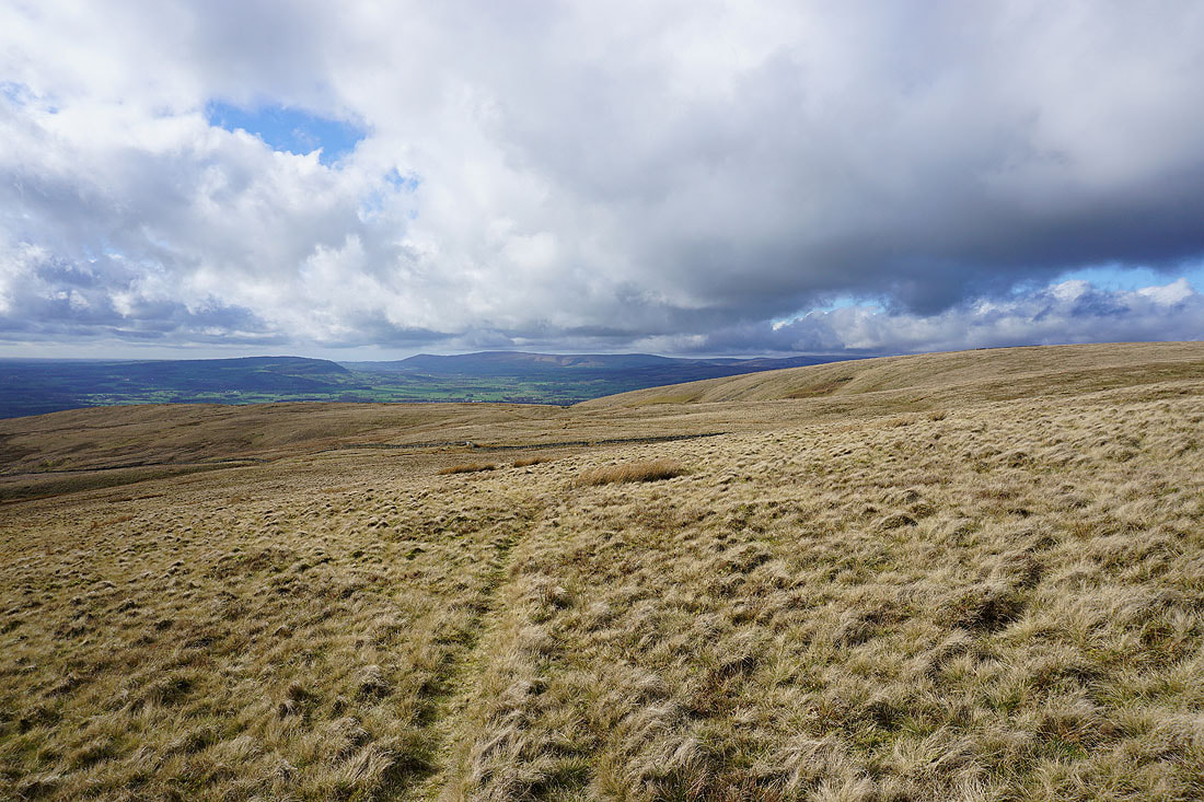
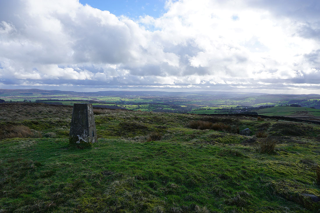
The Ribble Valley from the trig point on The Rough
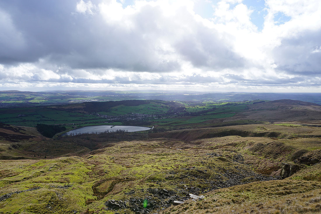
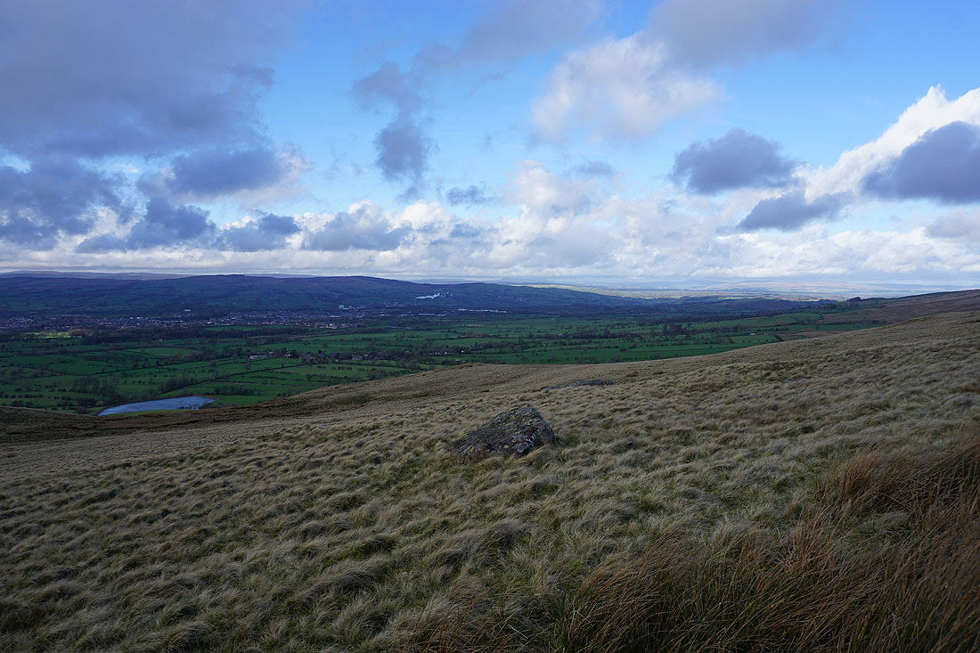
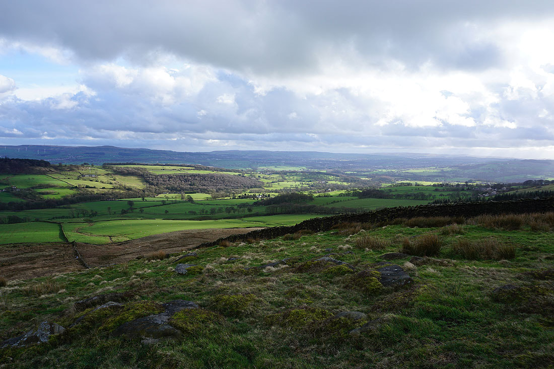
Great Harwood and the valley of the River Calder below with the West Pennine Moors in the distance
Pendle Hill
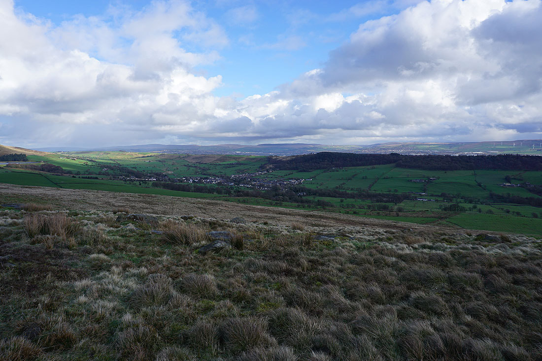
The village of Sabden with the wooded Black Hill on the other side of the valley of Sabden Brook
The fells of the Forest of Bowland in the distance
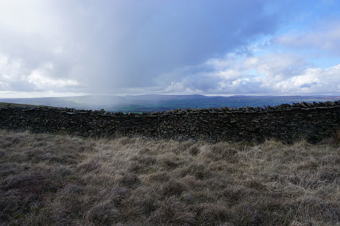
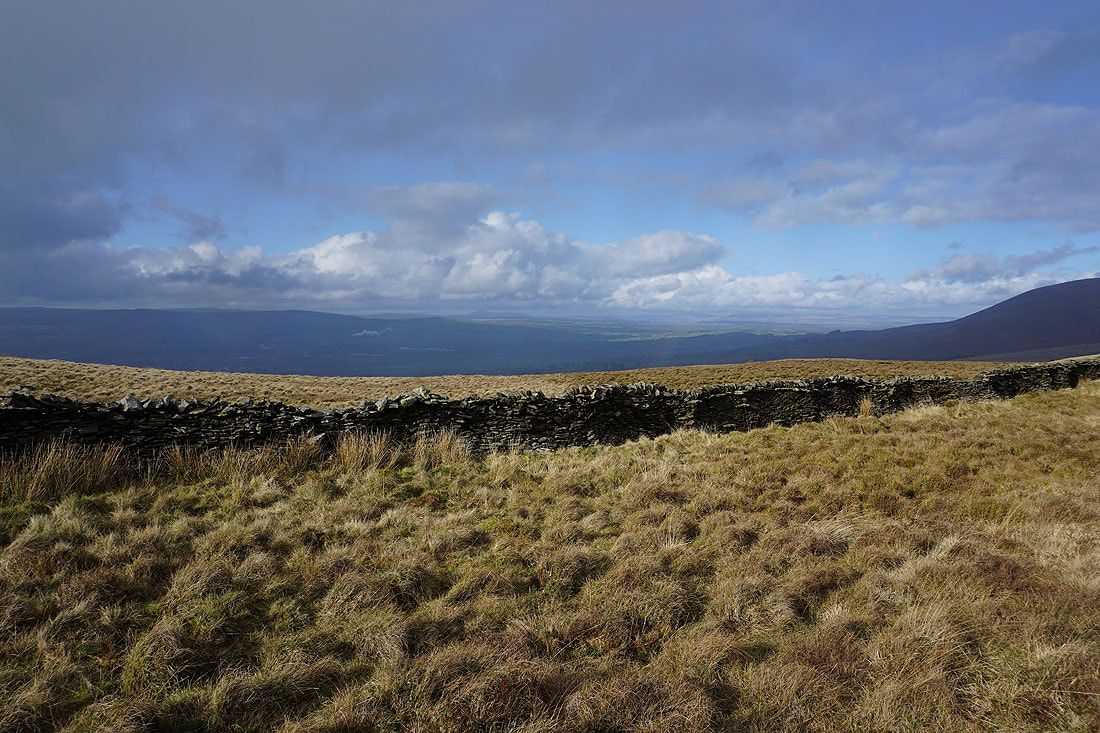
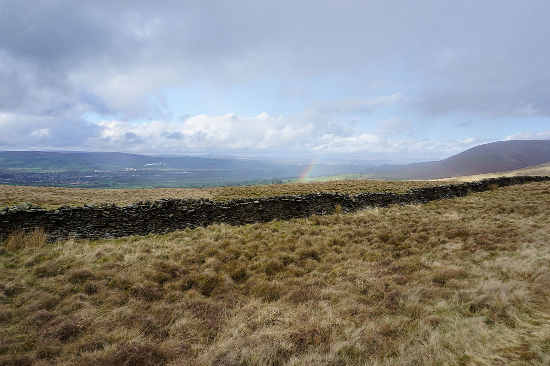
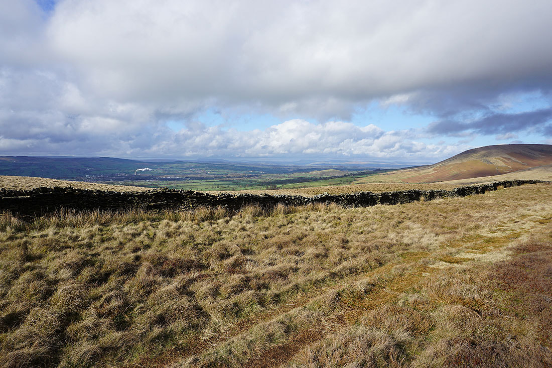
A quick look over the wall reveals Clitheroe and the Ribble Valley
Making my way down from The Rough and there's a beautiful scene as the sun breaks through the cloud and lights up the countryside
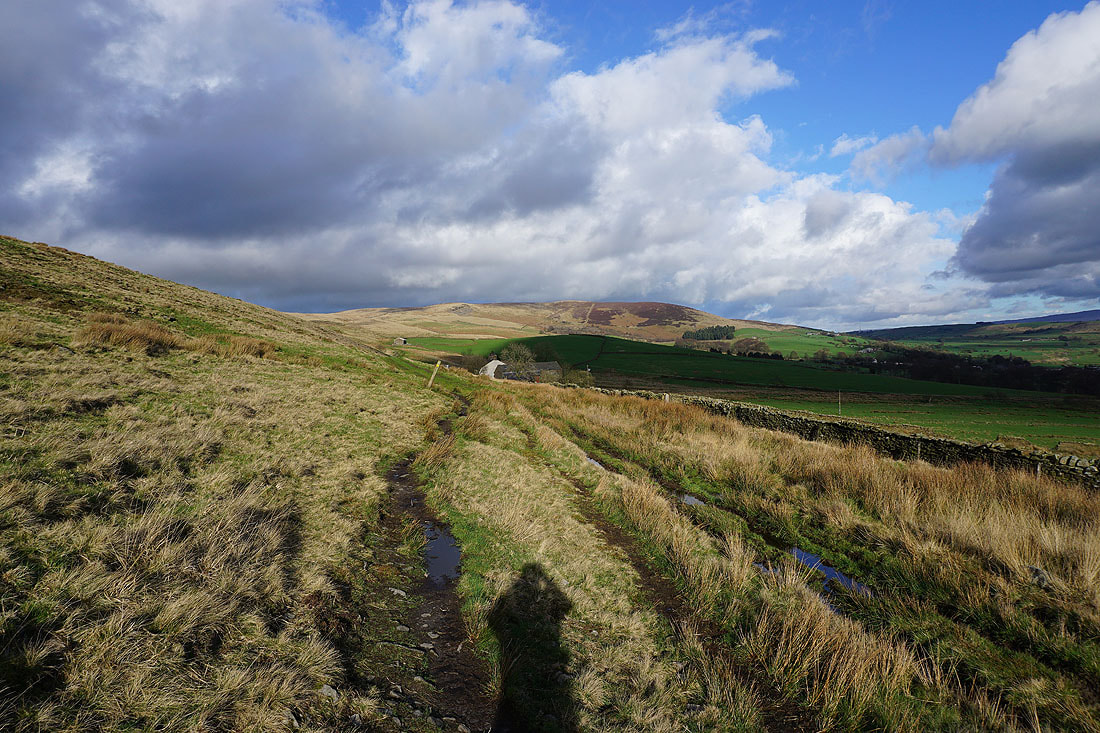
On the bridleway beneath The Rough to Wilkin Heys
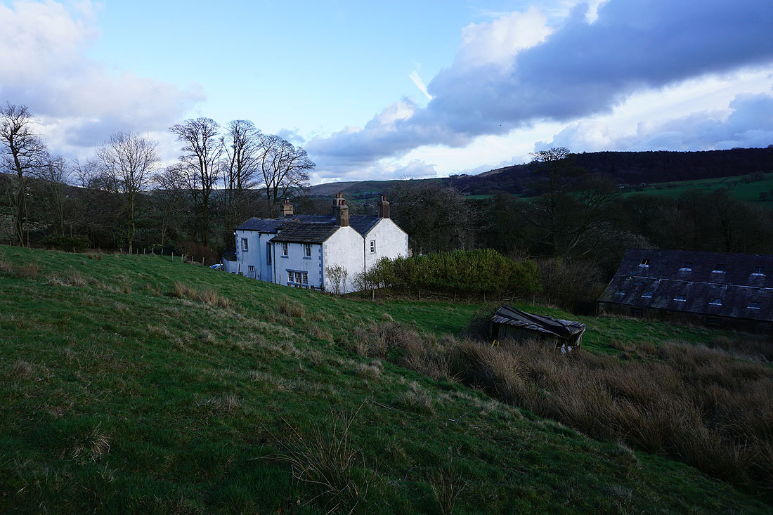
Higher Whins as I head down to cross Whalley Road and Sabden Brook
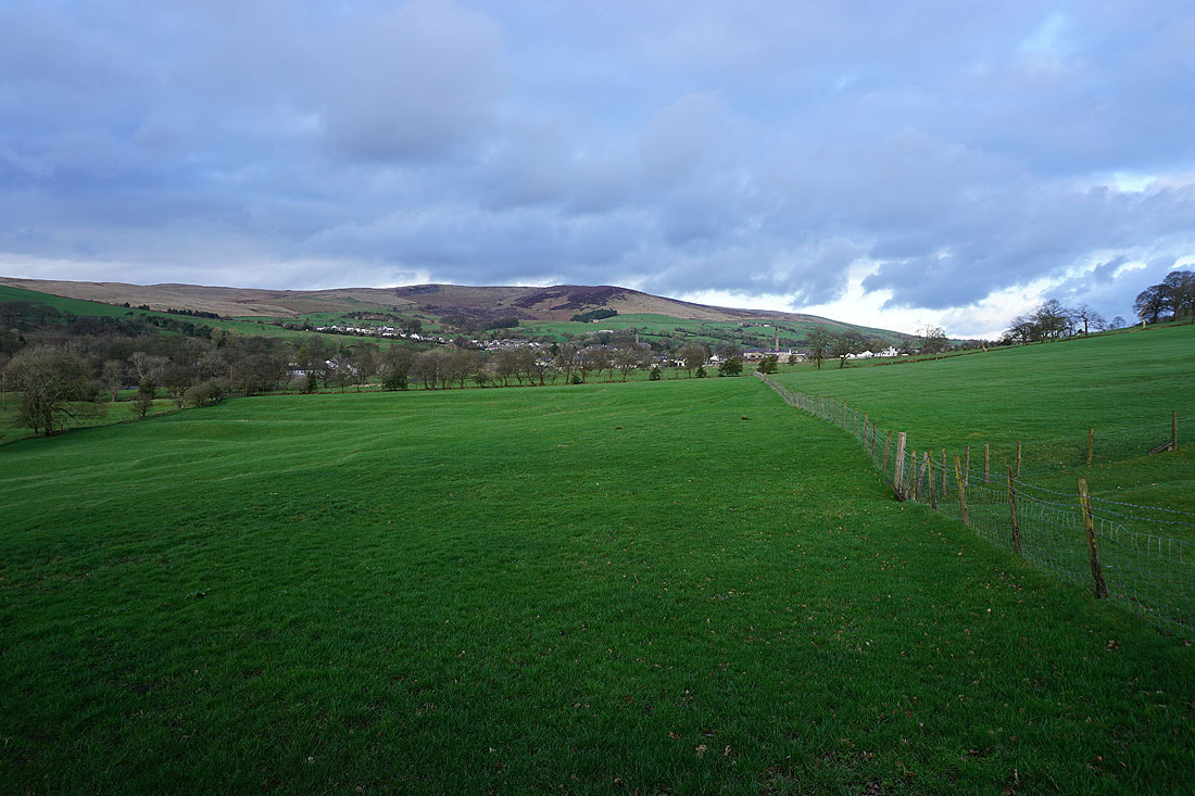
Spence Moor behind Sabden from Hillside Farm
On the footpath to Read Heights
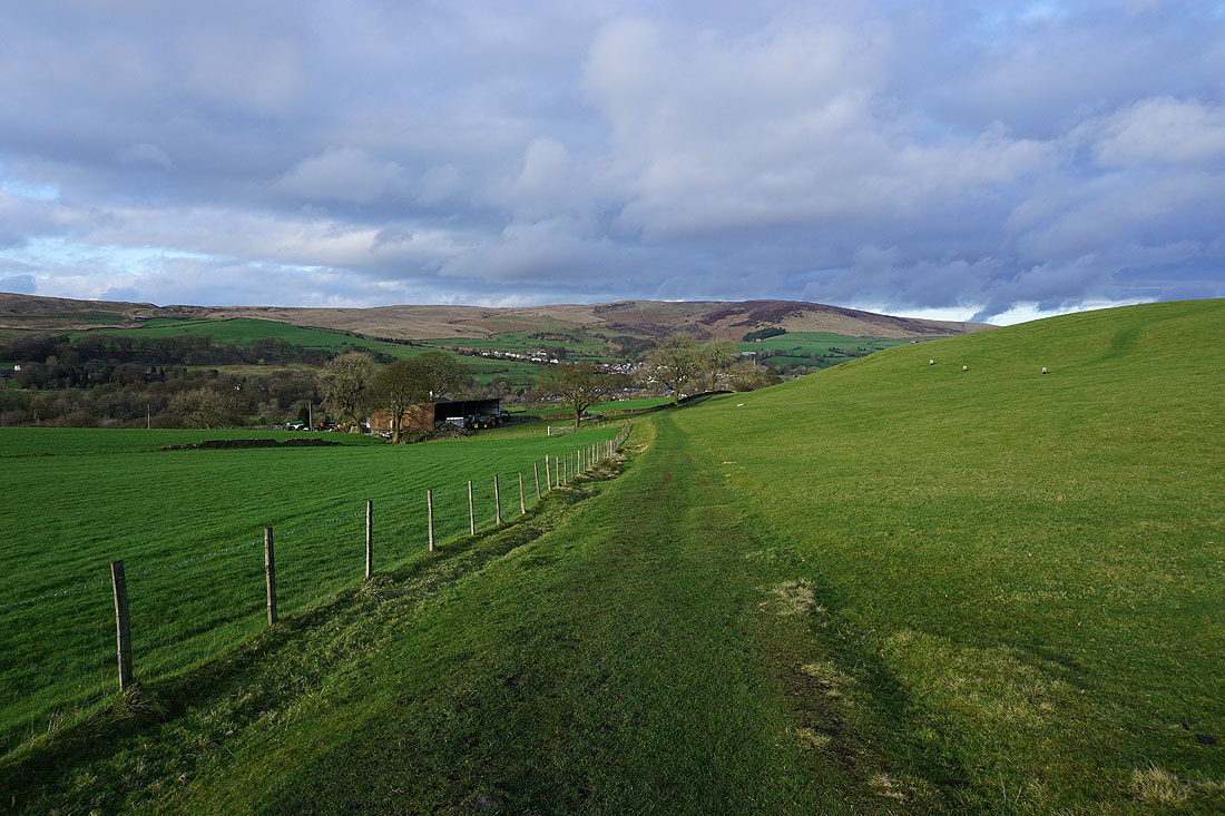
Looking back to Sabden and Spence Moor..
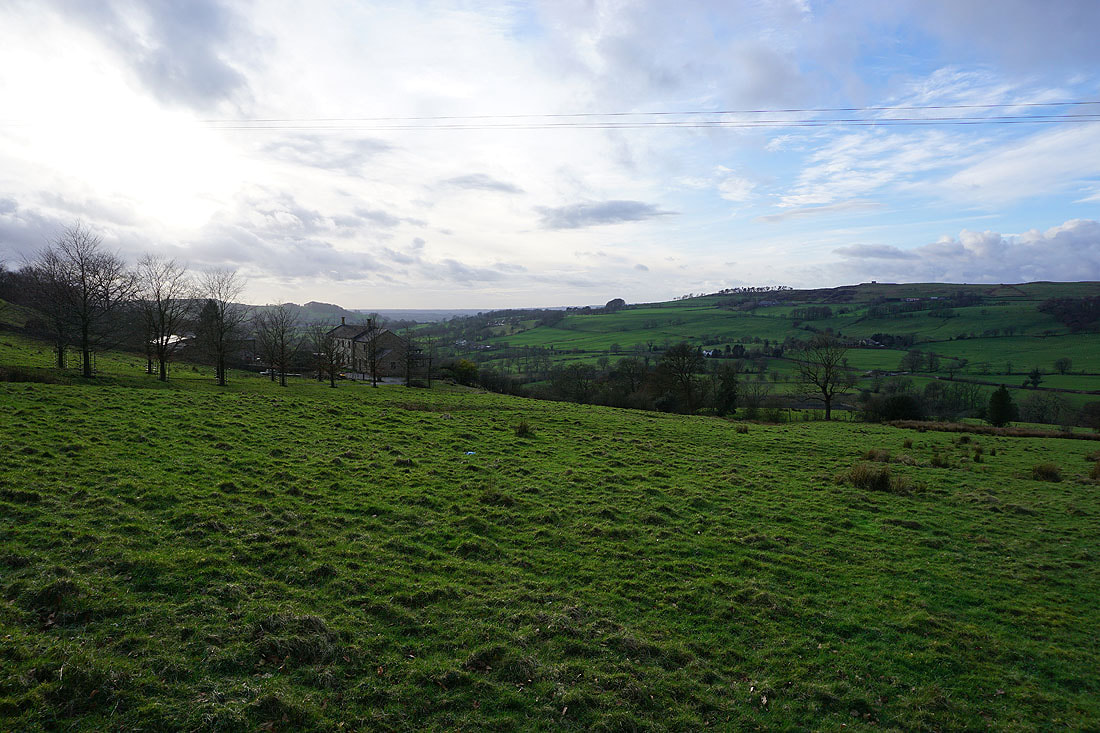
..and across the valley of Sabden Brook to Clerk Hill
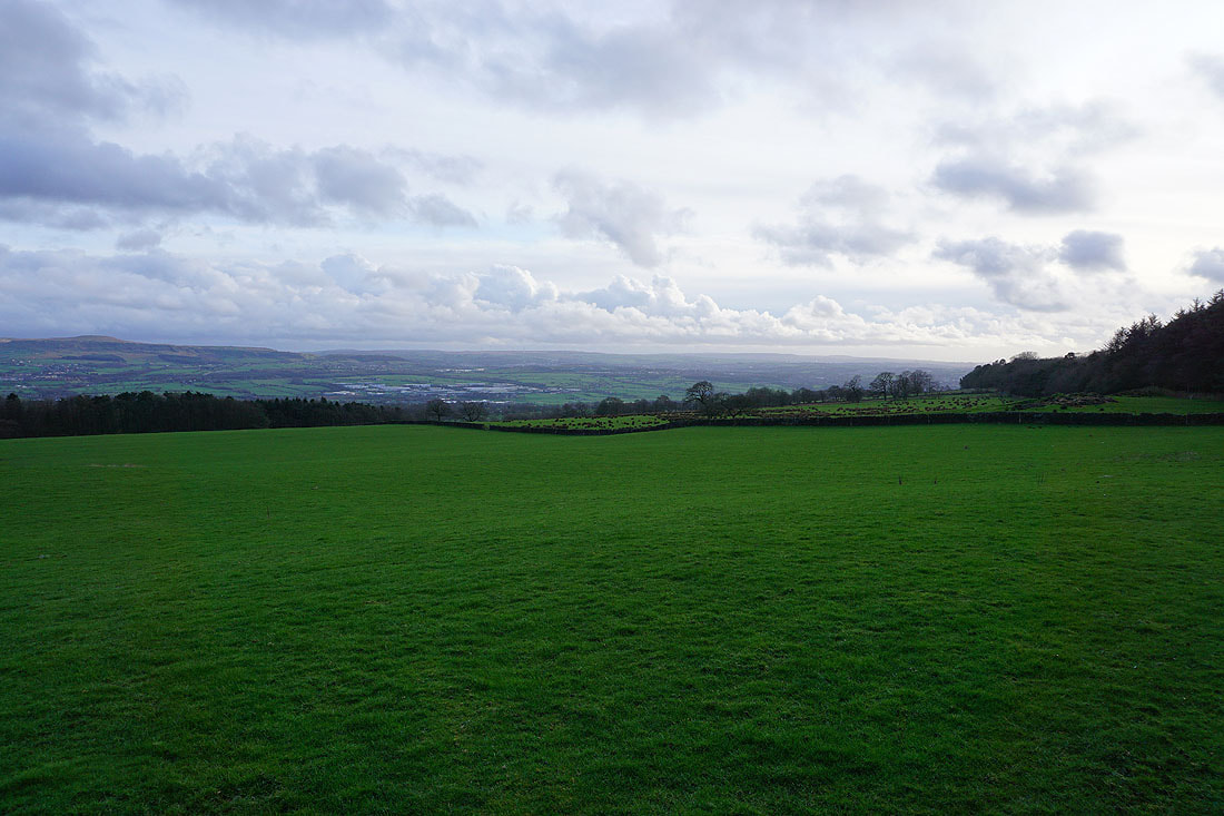
Padiham and Hameldon Hill from Read Heights
Through the woodland on White Hill
and after crossing Trap Lane, heading for Black Hill
Hameldon Hill and distant West Pennine Moors
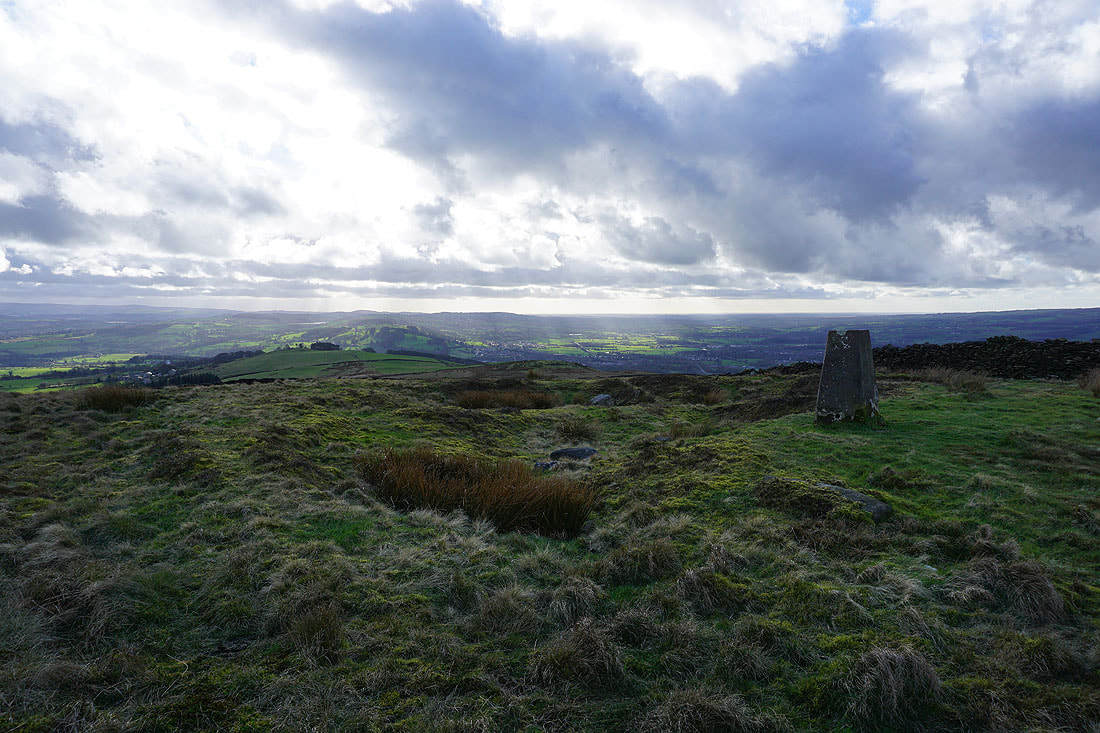
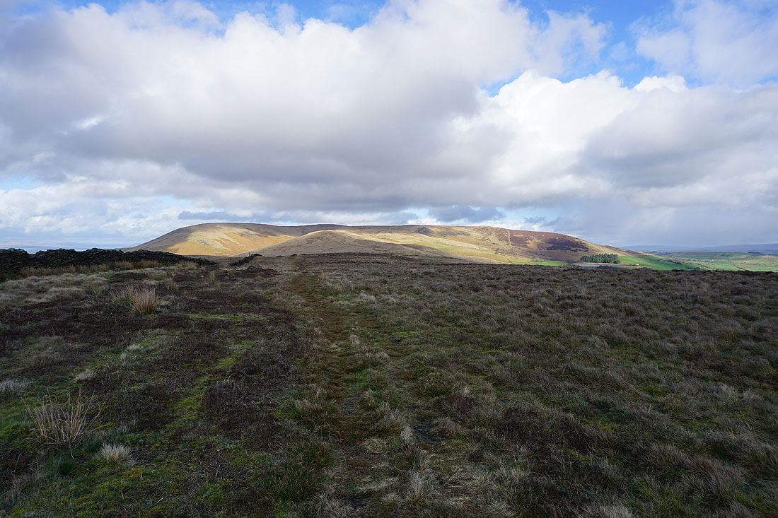
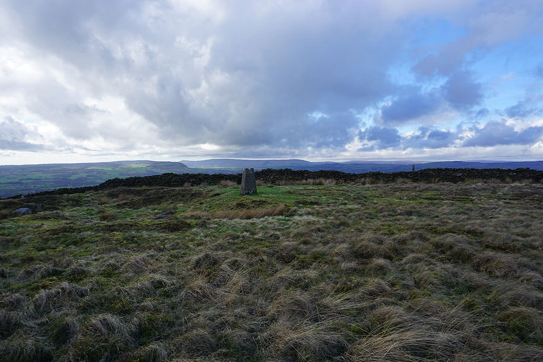
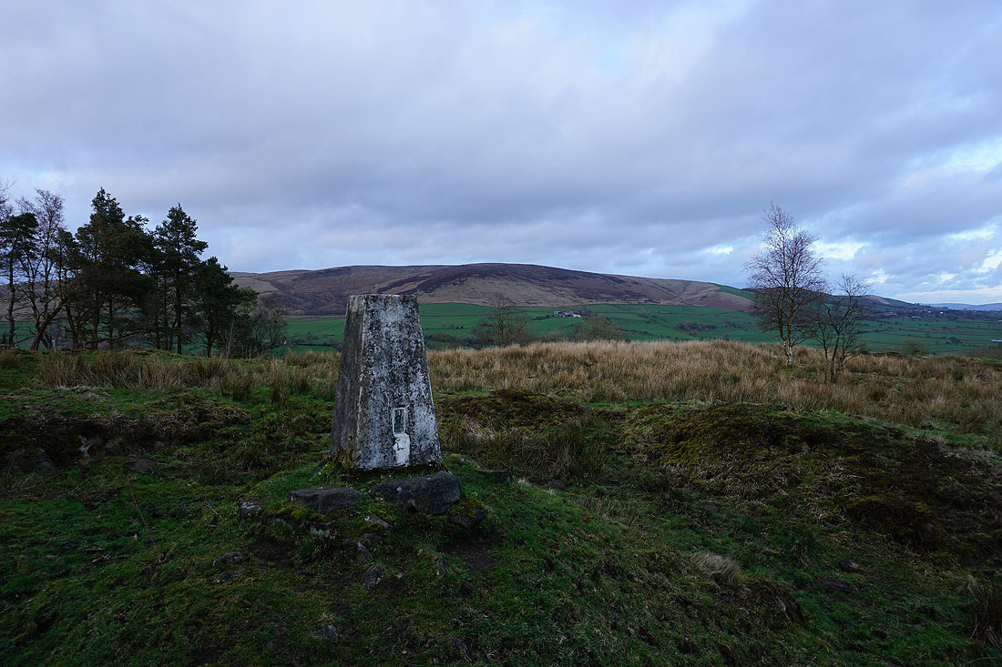
Spence Moor from the trig point on Black Hill
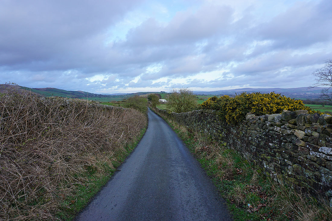
A short walk along Back Lane to where I'm parked, on the other side of that white van
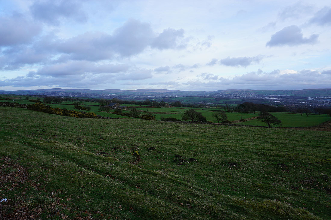
My final photo from the layby is of Boulsworth Hill, Burnley, Hoof Stones Height and Thieveley Pike
