9th May 2021 - The Nidderdale Edges and Fountains Earth Moor
Walk Details
Distance walked: 12.6 miles
Total ascent: 1935 ft
OS map used: 298 - Nidderdale
Time taken: 6.5 hrs
Route description: Picnic site, Gouthwaite Reservoir-Nidderdale Way-Studfold Farm-Lofthouse-Nidderdale Way-Dale Edge-Thrope Edge-Pot Moor High Road-Fountains Earth Moor-Bouthwaite-Ramsgill-Nidderdale Way-Picnic site, Gouthwaite Reservoir
My first visit of the year to Nidderdale and it won't be my last. It's somewhere that I'm enjoying getting to know since my first walk in the area a couple of years ago. Wanting a route that would keep me up high on the moors for as long as possible I decided to start from the car park/ picnic site by the road beside Gouthwaite Reservoir, and follow the bridleways and byways along Dale Edge, Thrope Edge, and across Fountains Earth Moor. Starting from where I did did mean having to walk along the road from the car park to Ramsgill at the beginning and end of the walk. It would have been nice if there was a concessionary footpath available to keep me off the road. Quite a bit of the route was already familiar to me but the stretch of the Nidderdale Way from the car park to Studfold Farm was new. Today had the best weather of the weekend but I had no guarantee of staying dry. There was a bit of sunshine from time to time during the morning and into the early afternoon, but the skies clouded over while I was on Fountains Earth Moor and by the time I was back in Ramsgill rain had started to fall. Fortunately I didn't have far to walk back to the car park.
From where I parked at the car park/ picnic site by Gouthwaite Reservoir I followed the Nidderdale Way north by walking along the road to Ramsgill, and then across fields to West House Farm, down to and across Blayshaw Gill, then down to Studfold Farm. I briefly left the trail here to make my way across to Lofthouse, where I picked it up again and followed it north along Thrope Lane to Thrope Farm, then to Limley Farm and up to Thwaite House, and north to Bracken Ridge, where I left it for the bridleway up to Dale Edge. I then made my way south along the bridleway on Dale Edge, and then the one on Thrope Edge to the Shooting House. Just past here I didn't go through a gate on the right but kept on the bridleway to reach Pot Moor High Road. After a brief walk up the road I reached a byway on the right, which I took and followed southeast and south across Fountains Earth Moor and down to Bouthwaite. I then walked along the road to Nidd Bridge and into Ramsgill, and from there I retraced my steps by to the car park by Gouthwaite Reservoir.
Route map
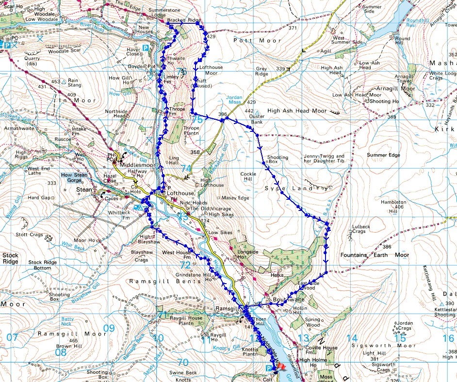
© Crown copyright. All rights reserved. License number PU 100034184.
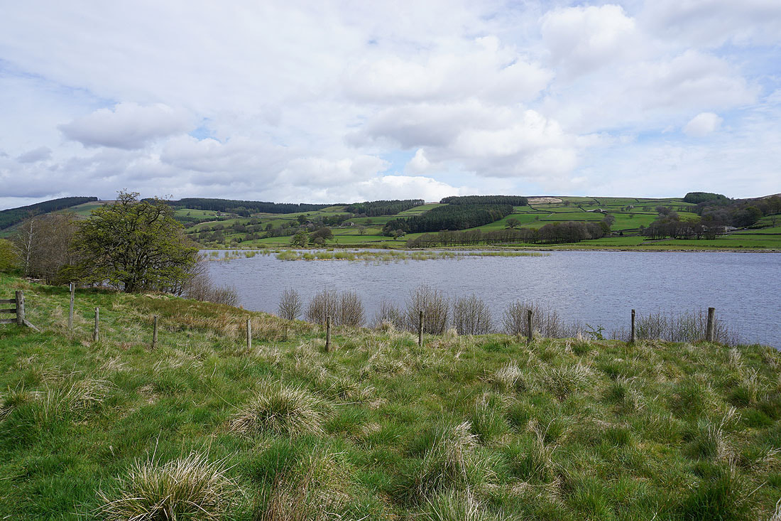
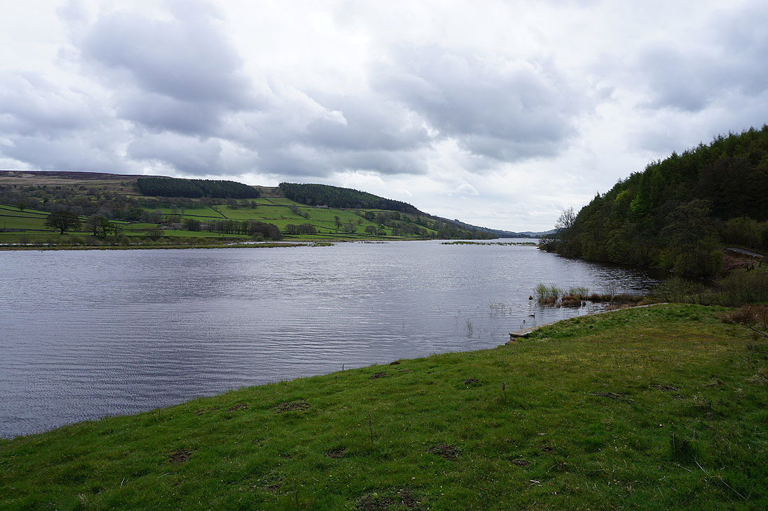
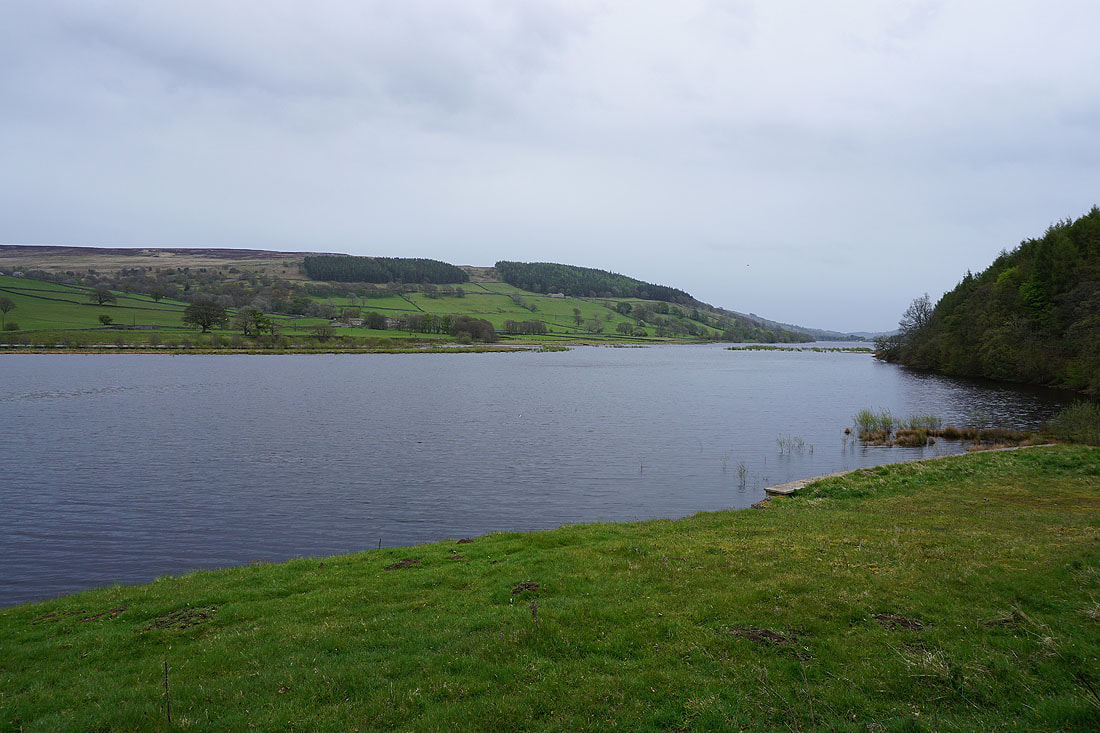
A couple of shots of Gouthwaite Reservoir from the viewing areas next to the road..
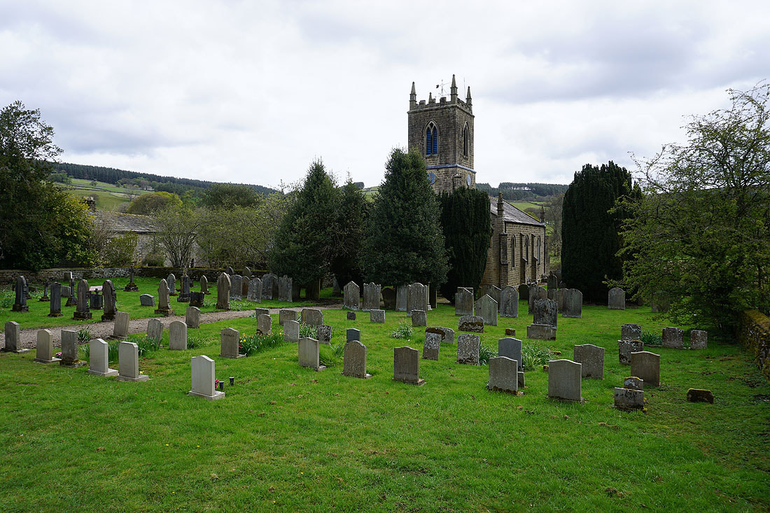
The church of St. Mary the Virgin in Ramsgill
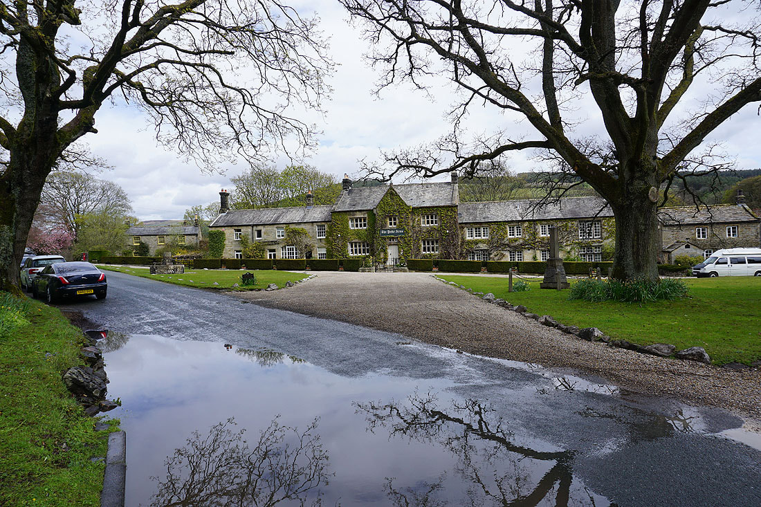
and The Yorke Arms, which is still closed at the moment
Taking the Nidderdale Way north from Ramsgill
Briefly by the River Nidd
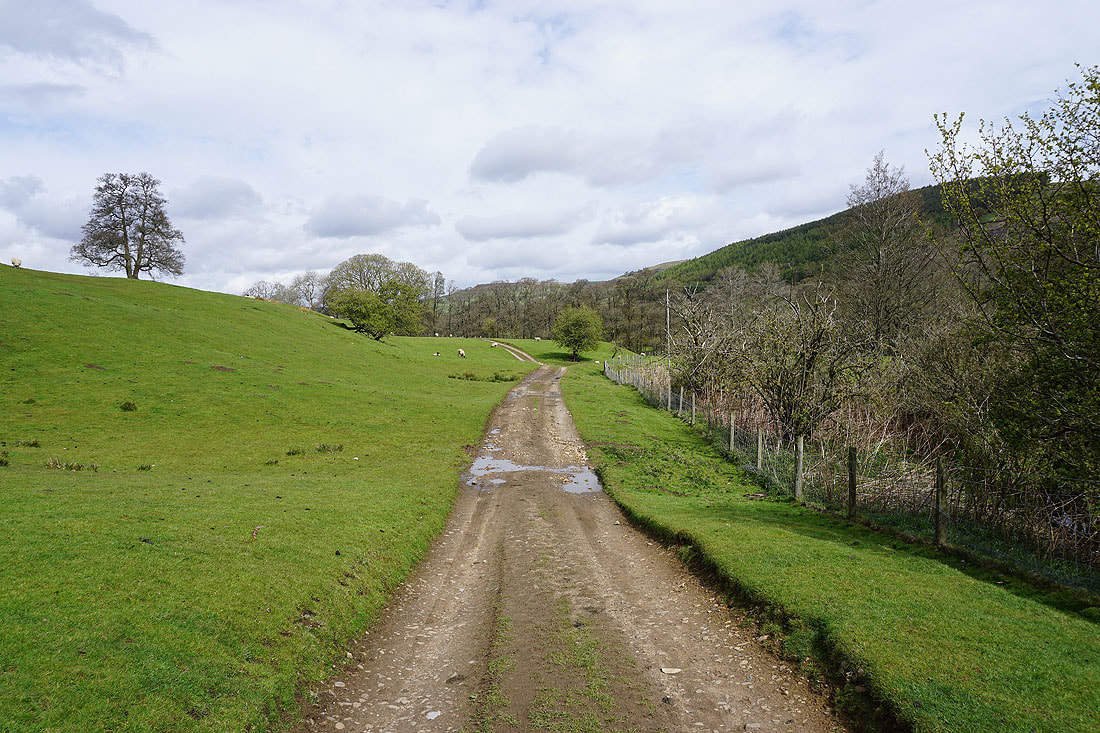
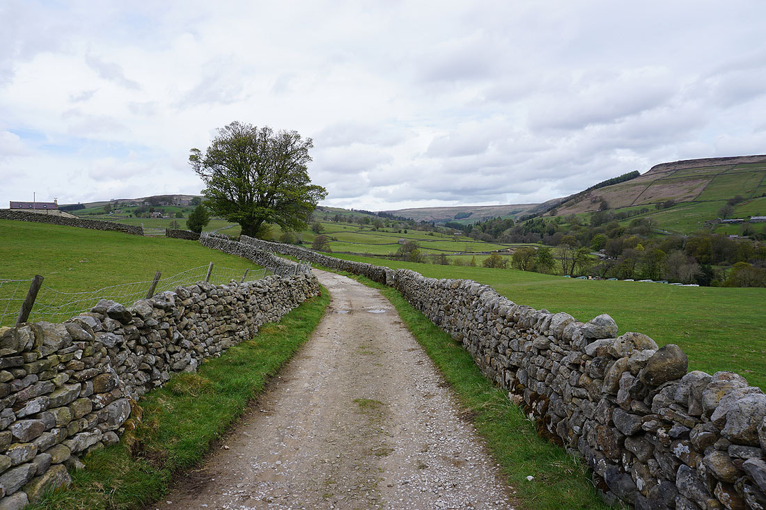
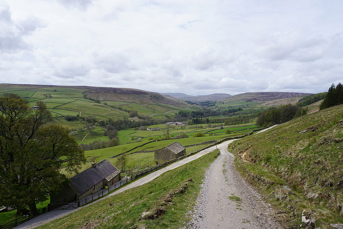
A fine spring morning as I follow the Nidderdale Way north..
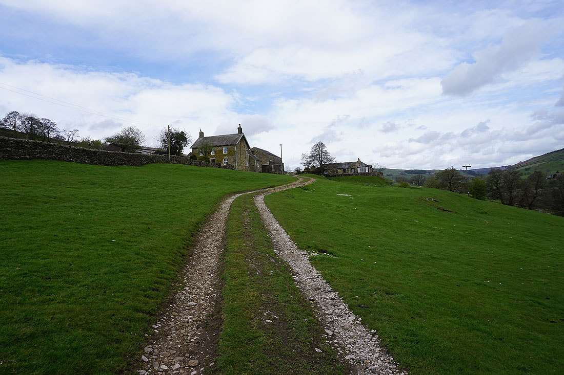
Heading up to West House Farm
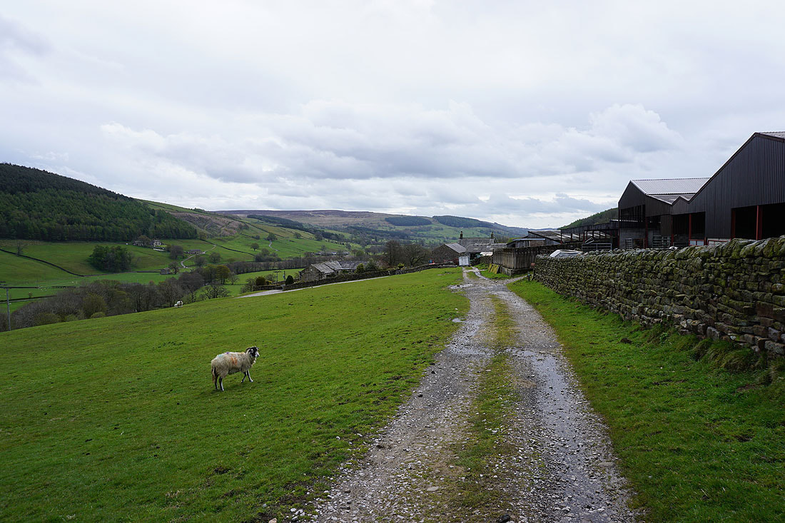
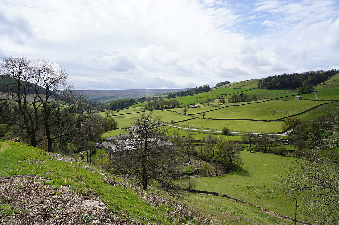
Looking back down Nidderdale to Sigsworth Moor from West House Farm
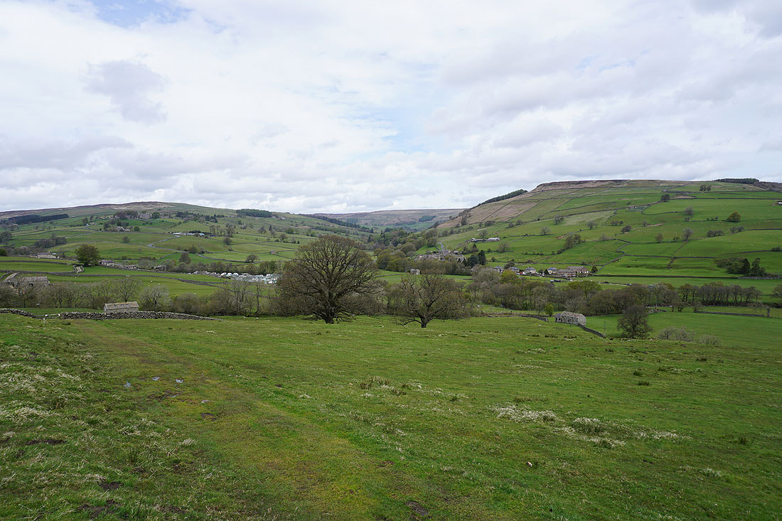
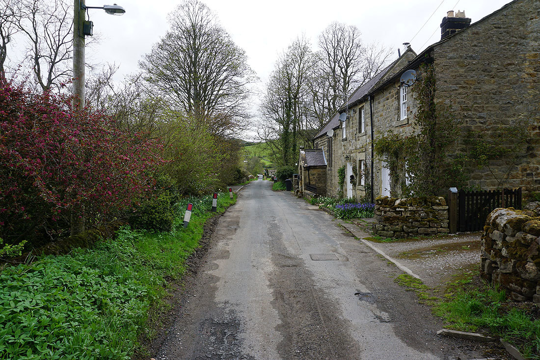
Lofthouse on the other side of the dale
Crossing Blayshaw Gill
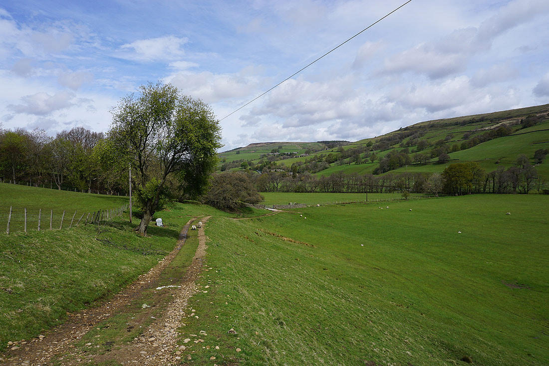
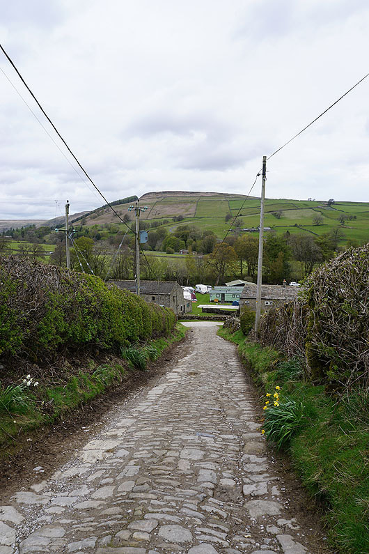
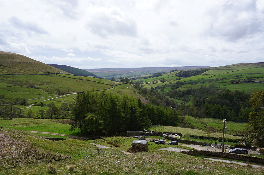
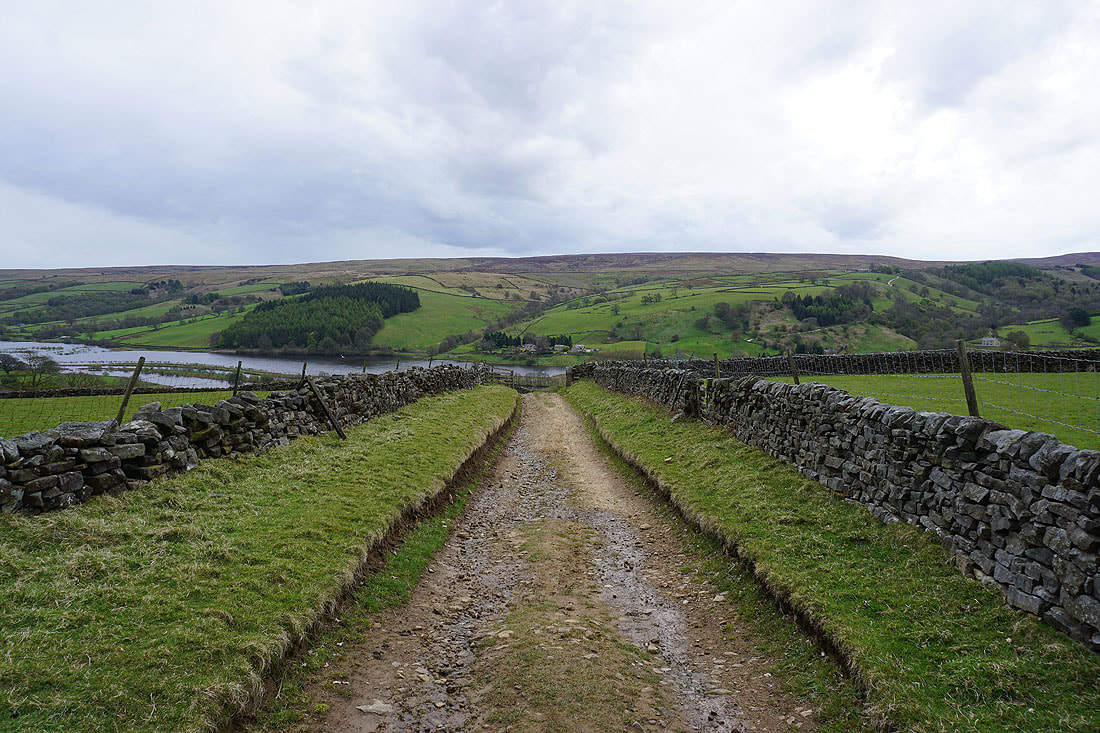
On the Nidderdale Way down to Studfold Farm. The caravan and campsite is open..
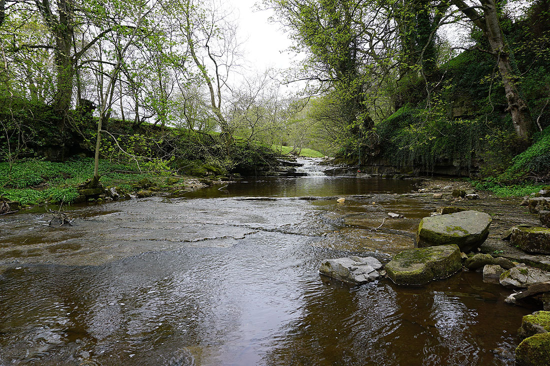
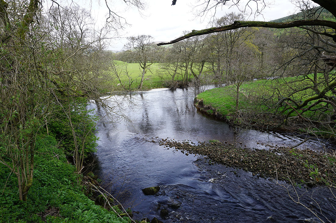
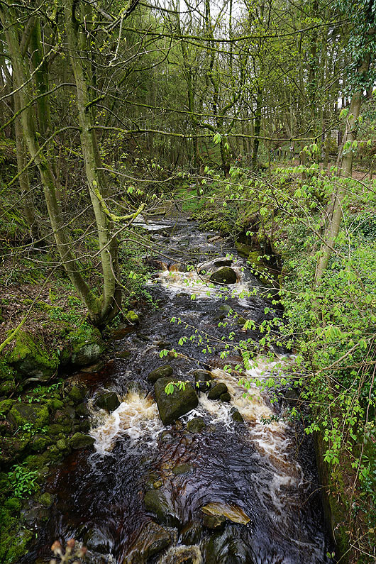
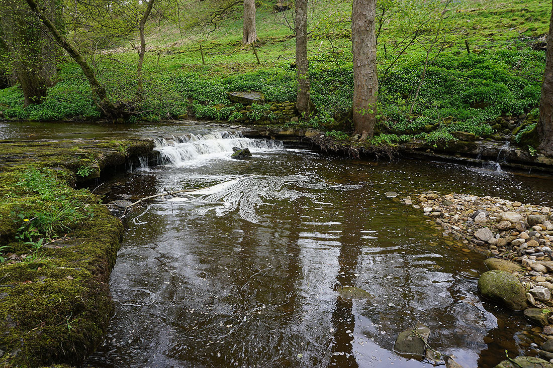
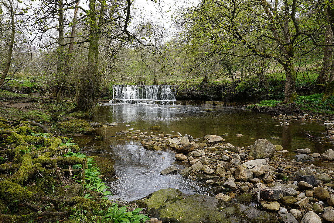
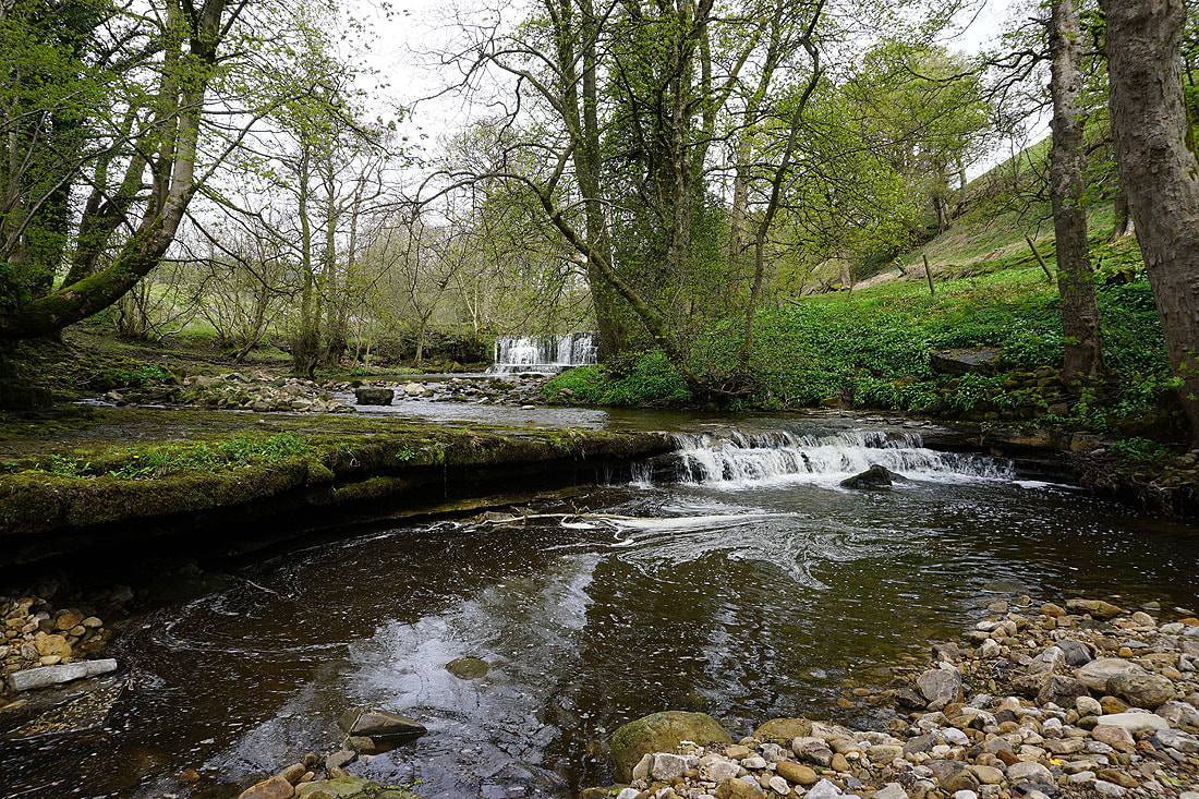
A short diversion to take some photos of the River Nidd below Lofthouse......
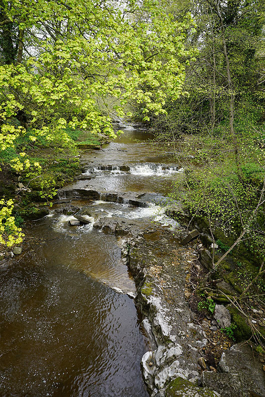
|
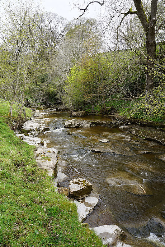
|
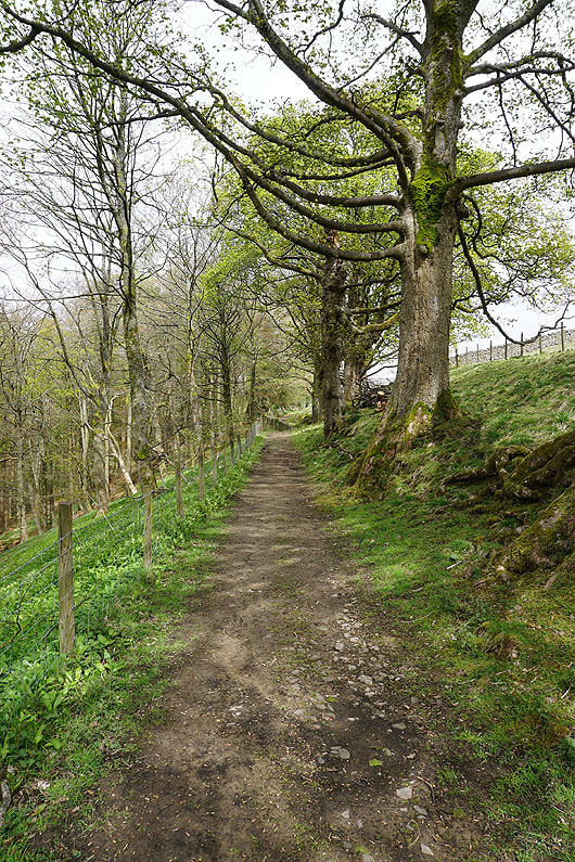
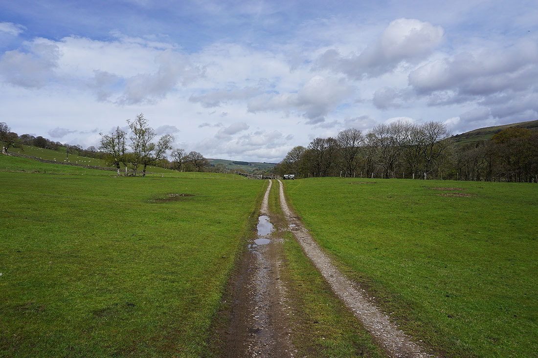
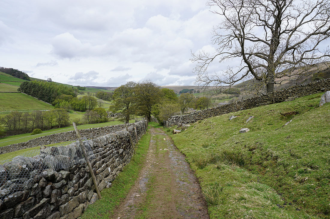
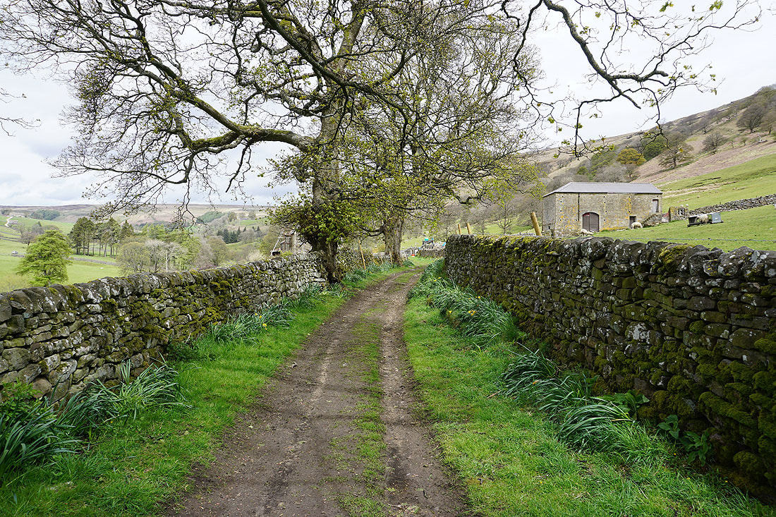
Following the Nidderdale Way north from Lofthouse on the bridleway of Thrope Lane...
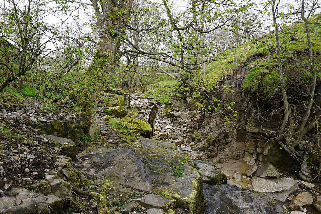
The dry riverbed of the River Nidd as I approach Limley Farm
Nidderdale from above Limley Farm
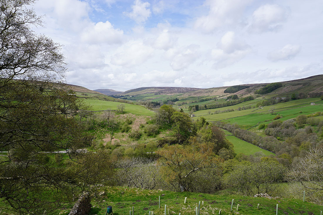
Carle Fell and Nidderdale from the Nidderdale Way north of Thwaite House
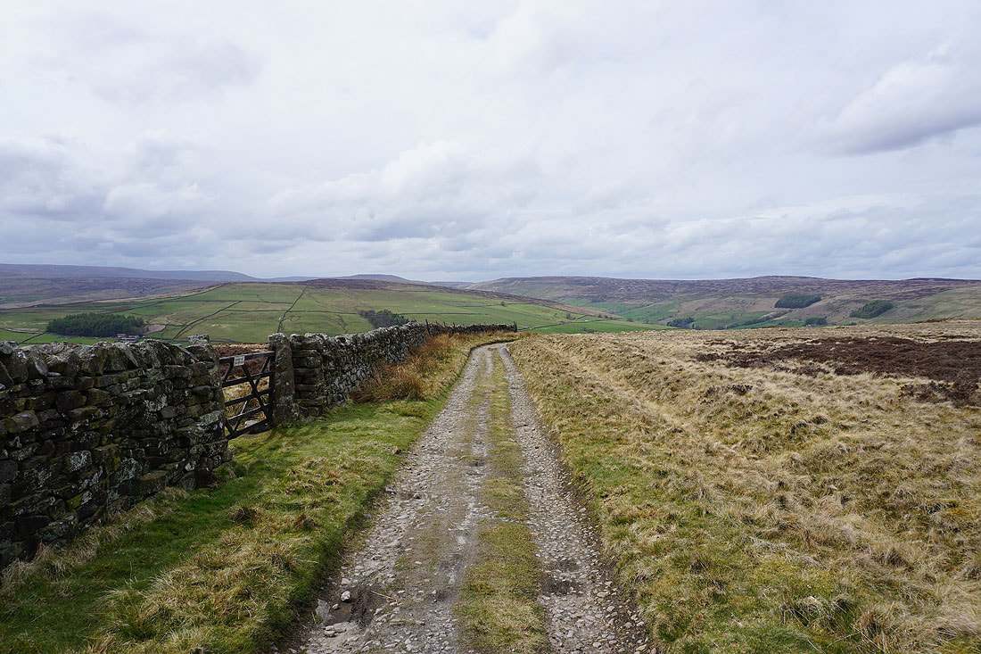
A great view of the fells around the head of Nidderdale as I leave the Nidderdale Way and take the bridleway up to Dale Edge
Looking down Nidderdale
Great Whernside, Little Whernside, Carle Fell and the head of Nidderdale

Looking north along Dale Edge

Guide stone at a junction of bridleways
Looking south to Thrope Edge
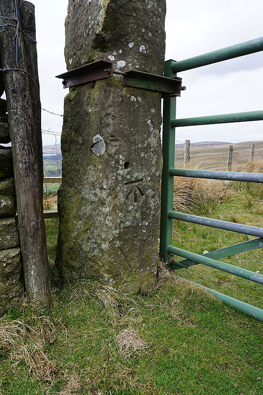
OS benchmark on a gatepost
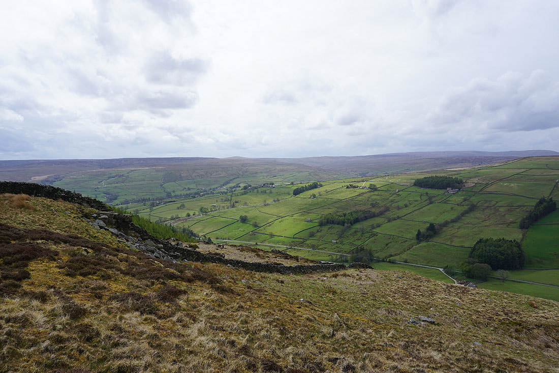
Great views of Nidderdale from the southern end of Dale Edge..
Looking north to Dale Edge from Thrope Edge
Heading south along Thrope Edge
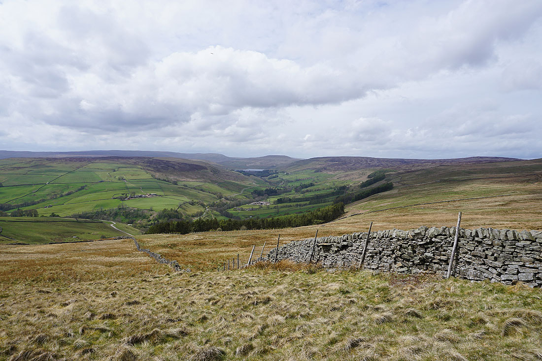
At the southern end of Thrope Edge and looking across Nidderdale to Middlesmoor
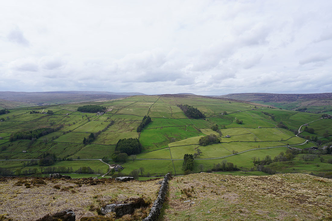
In Moor on the other side of the dale with Great Whernside and Little Whernside beyond
Carle Fell and Great Haw to the northwest
Looking north along Thrope Edge
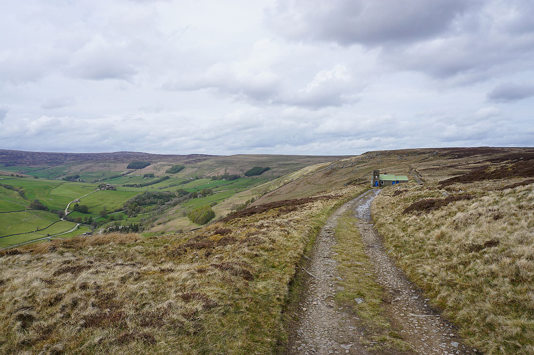
Great Whernside, Little Whernside, Carle Fell and Great Haw as I look back along the bridleway to Pott Moor High Road
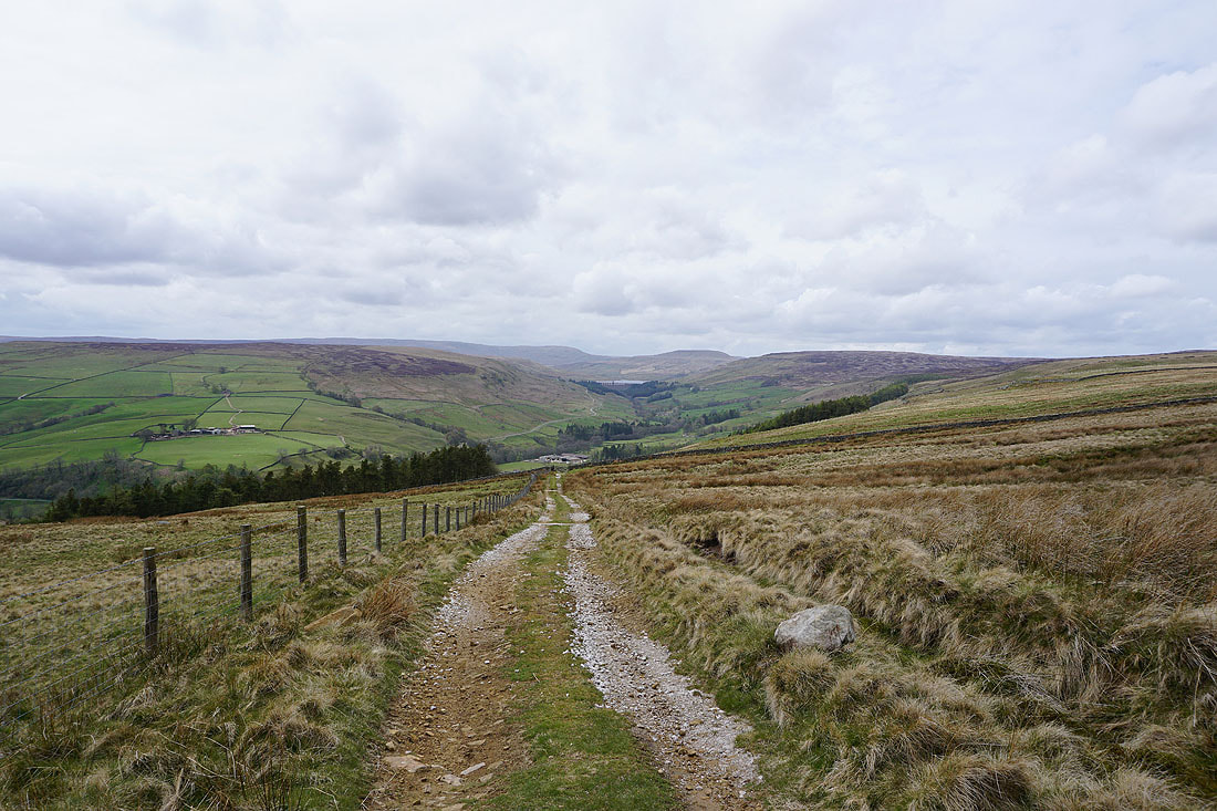
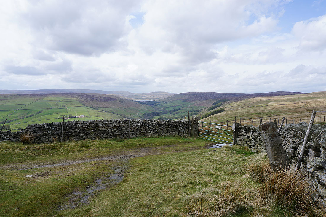
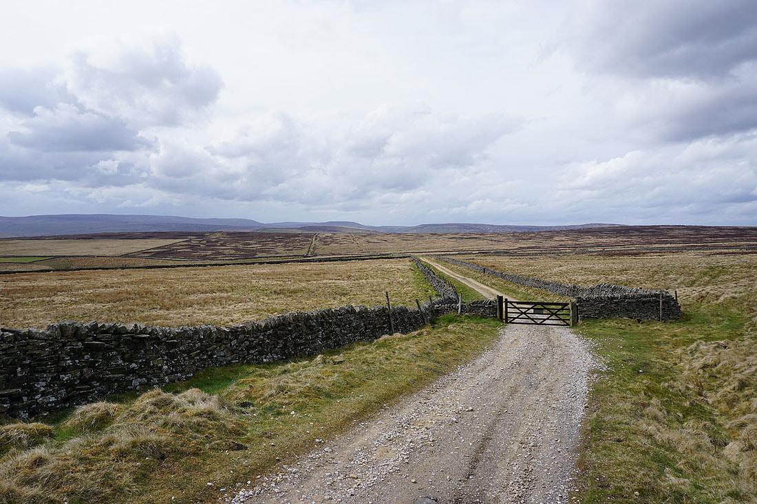
Heading for Pott Moor High Road with the moorland of Ouster Bank in the distance
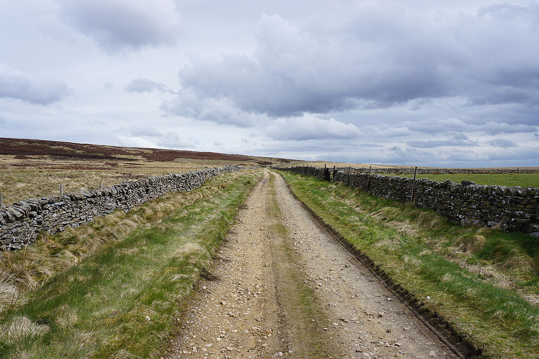
On the byway beneath Ouster Bank
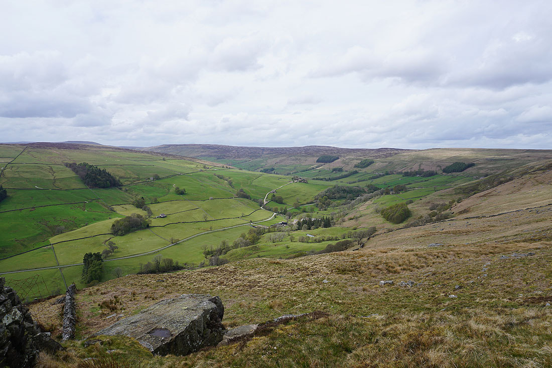
Views back to the fells around the head of Nidderdale..
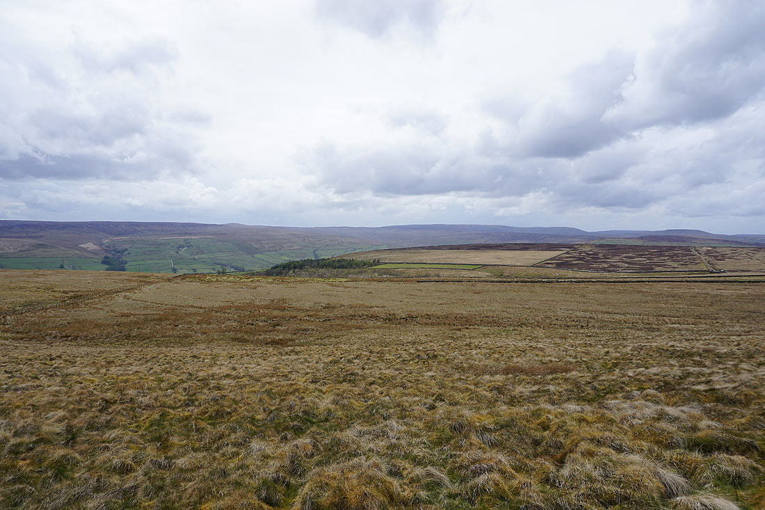
Meugher and Great Whernside in the distance beyond Lofthouse Moor
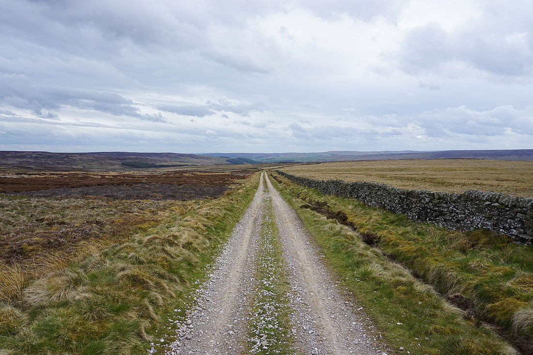
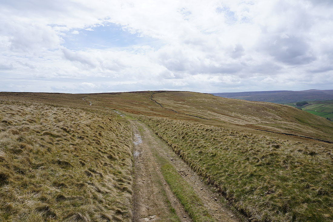
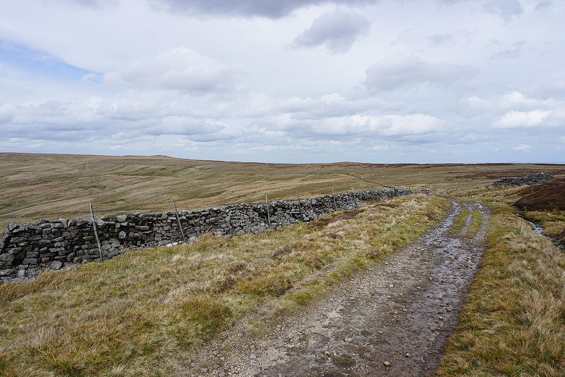
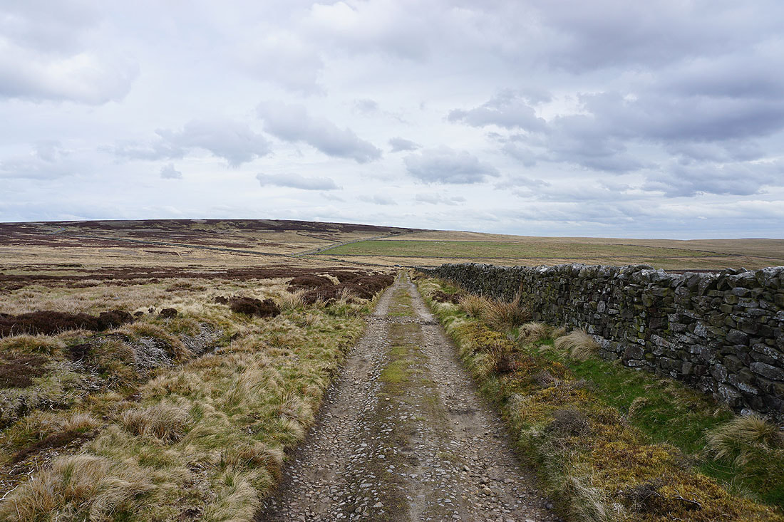
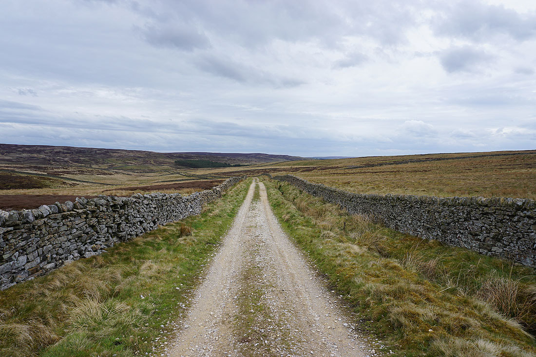
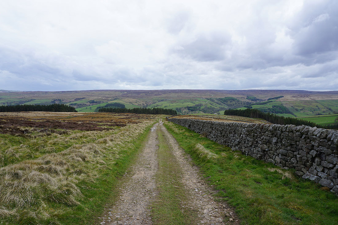
On the byway heading south across Fountains Earth Moor
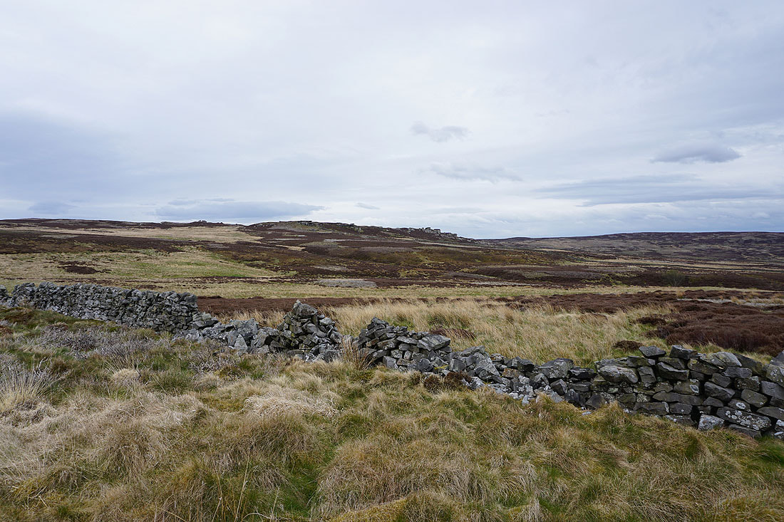
Sypeland Crags
Heading down to Sypeland Gill
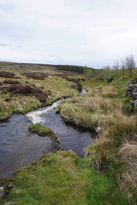
Sypeland Gill
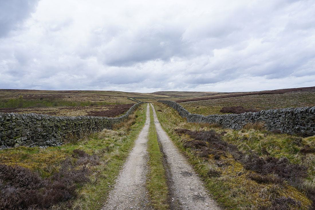
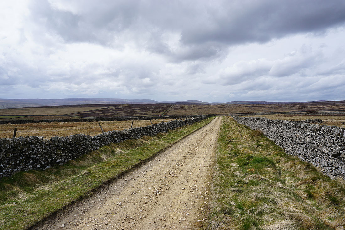
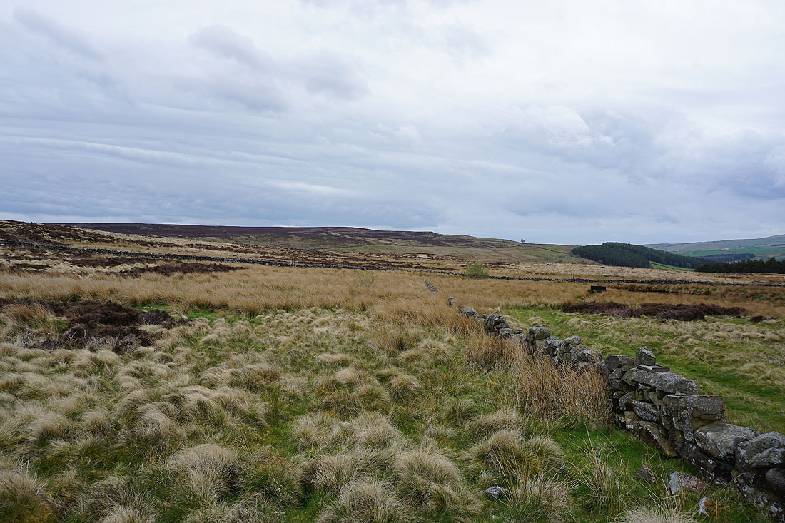
Looking back north along the byway across Fountains Earth Moor
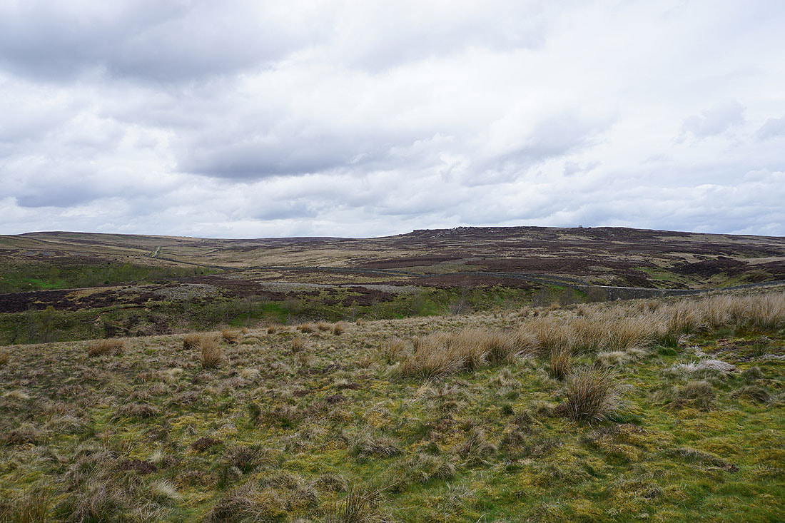
Looking across Sypeland Gill up to Sypeland Crags
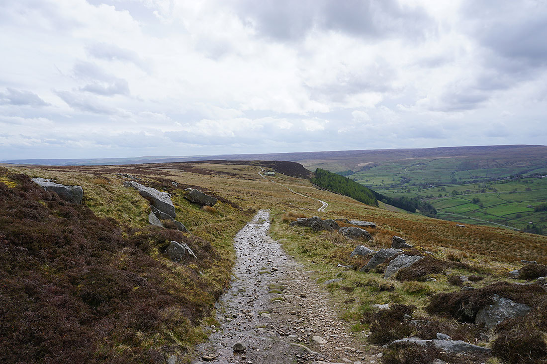
On the byway down to Bouthwaite with Raygill House Moor on the other side of the dale
Looking south to Sigsworth Moor
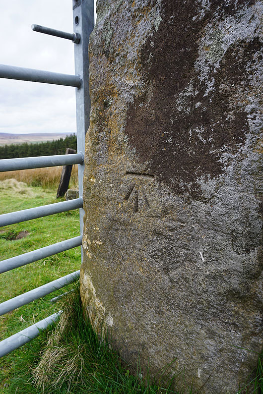
OS benchmark on a gatepost
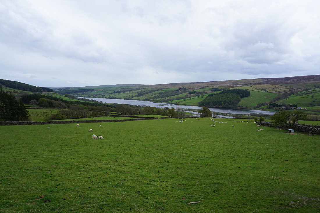
Gouthwaite Reservoir comes into view
The final descent to and making my way through Bouthwaite..
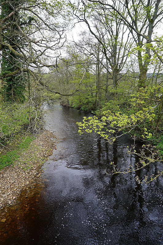
The River Nidd from Nidd Bridge in Ramsgill
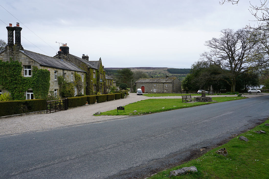
Back at The Yorke Arms in Ramsgill and it's started to rain
A last shot of Gouthwaite Reservoir as I head back to the car park and picnic site