9th November 2014 - Meltham Moor
Walk Details
Distance walked: 9.4 miles
Total ascent: 1460 ft
OS map used: OL1 - The Peak District, Dark Peak area & OL21 - South Pennines
Time taken: 5 hrs
Route description: Meltham-Calmlands Road-Royd Edge-Wessenden Head Road-West Nab-Leyzing Clough-Binn Moor-Deer Hill Conduit-Deer Hill Reservoir-Deer Hill End Road-Hassocks Road-Leygards Lane-Wessenden Head Road-Meltham
A fine day is forecast so I decided to pay this northern outpost of the Peak District a visit. When I was on Millstone Edge last Sunday I could see Meltham Moor and it reminded me that there were still a fair number of Peak District hills that I've yet to visit. It was quite cloudy when I set off but it brightened up by the afternoon so that the sunshine on the moors made for some great scenery.
After parking in one of the car parks in Meltham I found Calmlands Road. I then walked up Calmlands Road to its end and onto the track that heads up Royds Edge. When the track forks I took the right-hand one that continues uphill to the Wessenden Head Road. I had a brief walk up the road to the path up onto West Nab, the summit of Meltham Moor. After having my lunch and enjoying the view the next part of my route was pathless as went down the other side of the moor to the top of Leyzing Clough to reach a path that contours the side of the moor above Wessenden Brook. I followed this path north above the valley to Binn Edge and then by Deer Hill Conduit to reach Deer Hill Reservoir. From the reservoir dam I then made my way down Deer Hill End Road, along a couple of bridleways to Leygards Lane and then Wessenden Head Road to Meltham.
Route map
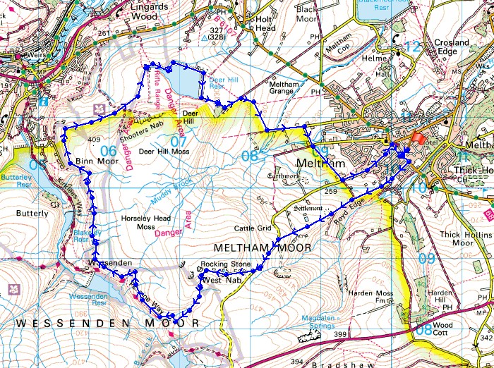
© Crown copyright. All rights reserved. License number PU 100034184.
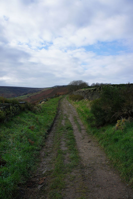
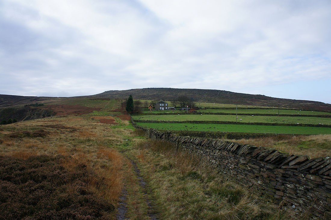
Having left Meltham I'm on the track up Royd Edge
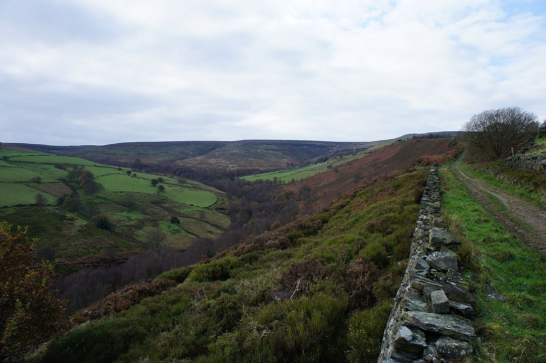
Royd Edge Clough down to my left
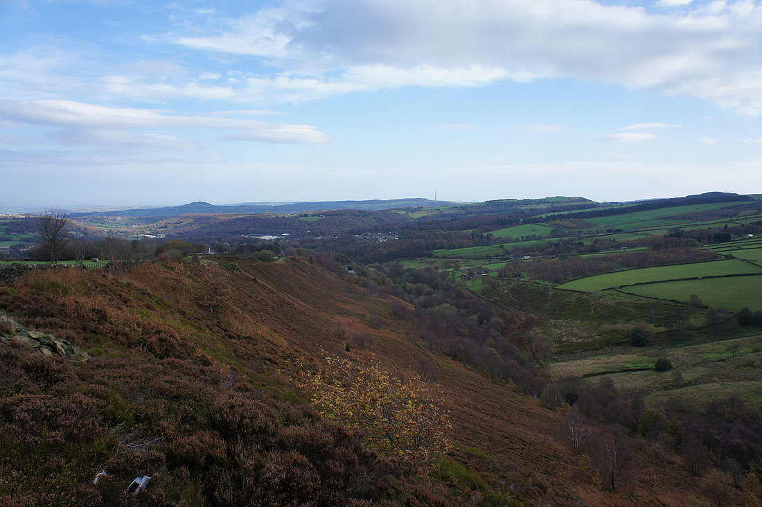
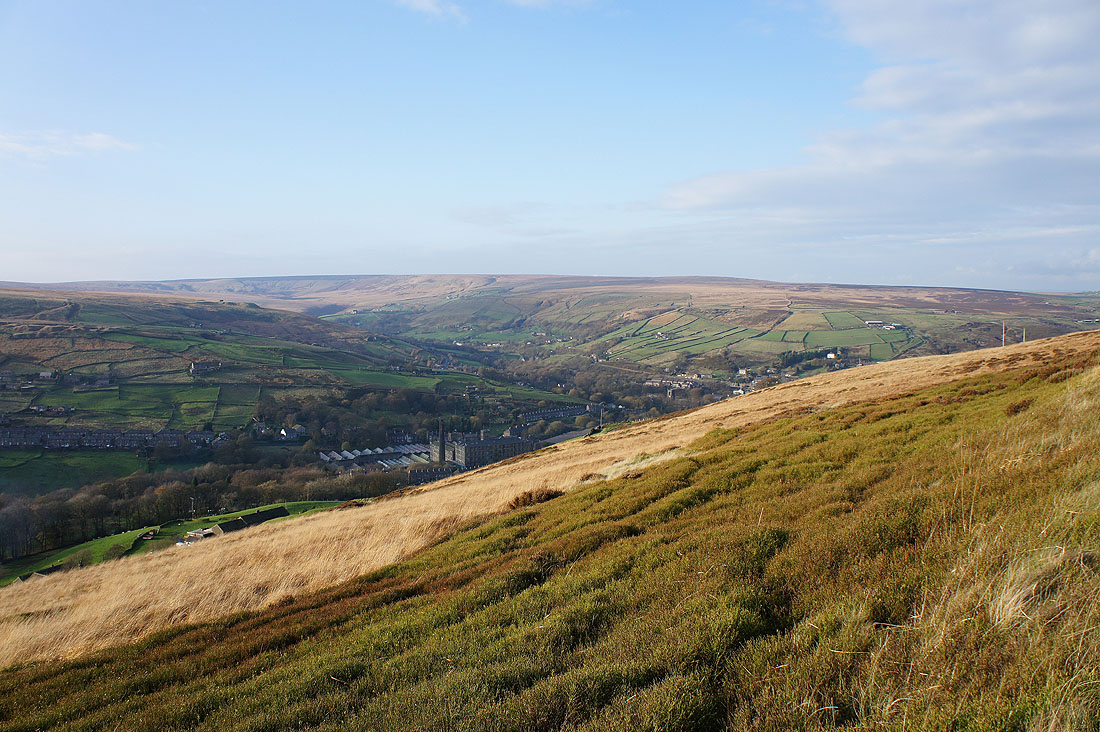
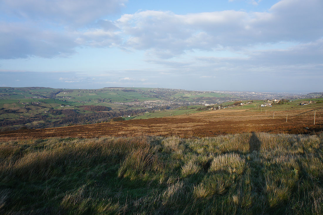
Looking back down towards Meltham
The rocks on West Nab come into view as I near the top
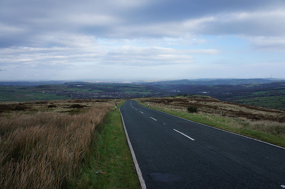
Looking back down the Wessenden Head Road. I have a walk uphill of a few hundred yards to reach the path up onto West Nab.
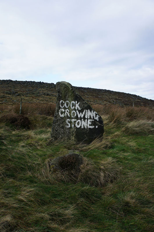
I can see where they're coming from. Maybe the elements haven't been kind to it over the years.
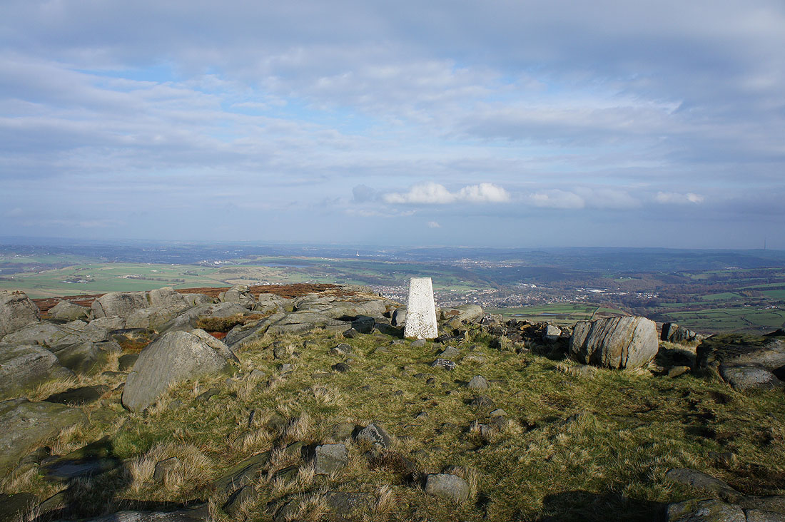
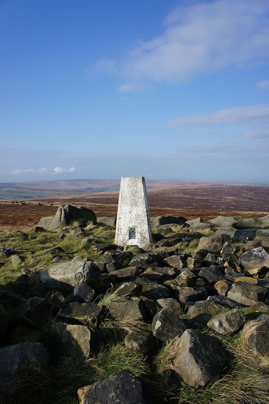
On West Nab, the summit of Meltham Moor. It brightened up while I was having my sandwiches so I'll have a wander round and take in the view.
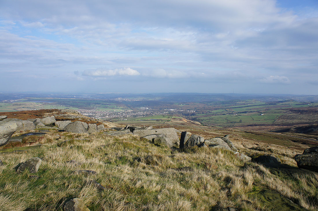
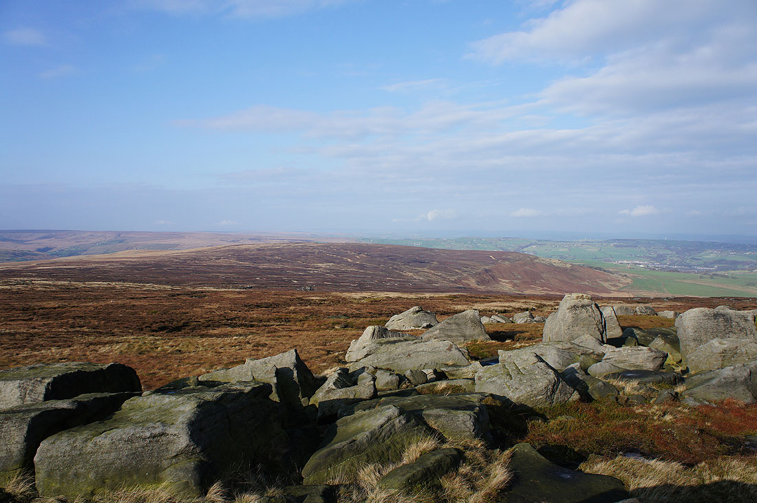
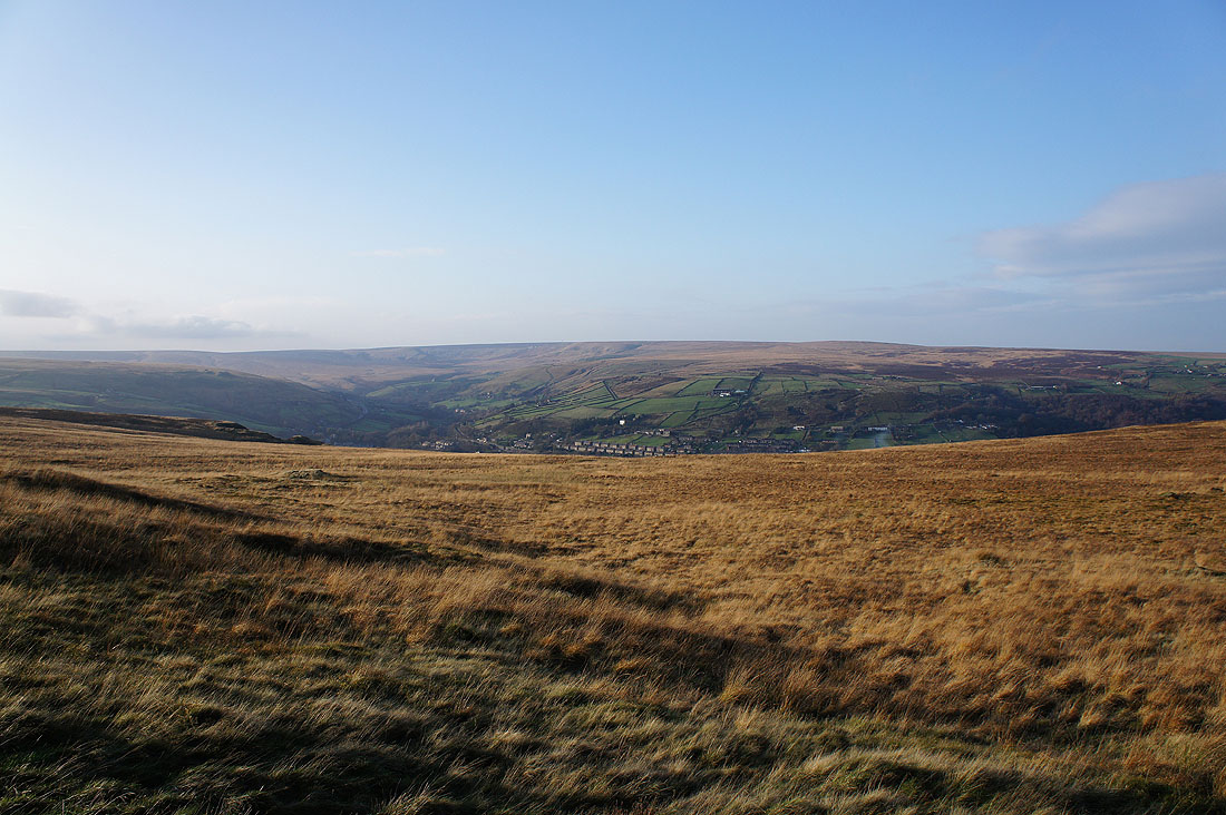
On the other side of the trig point I can look down on Meltham
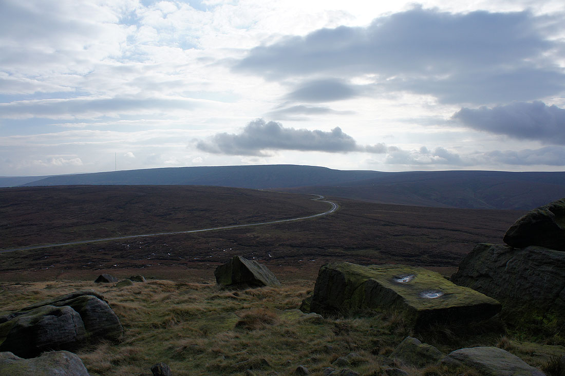
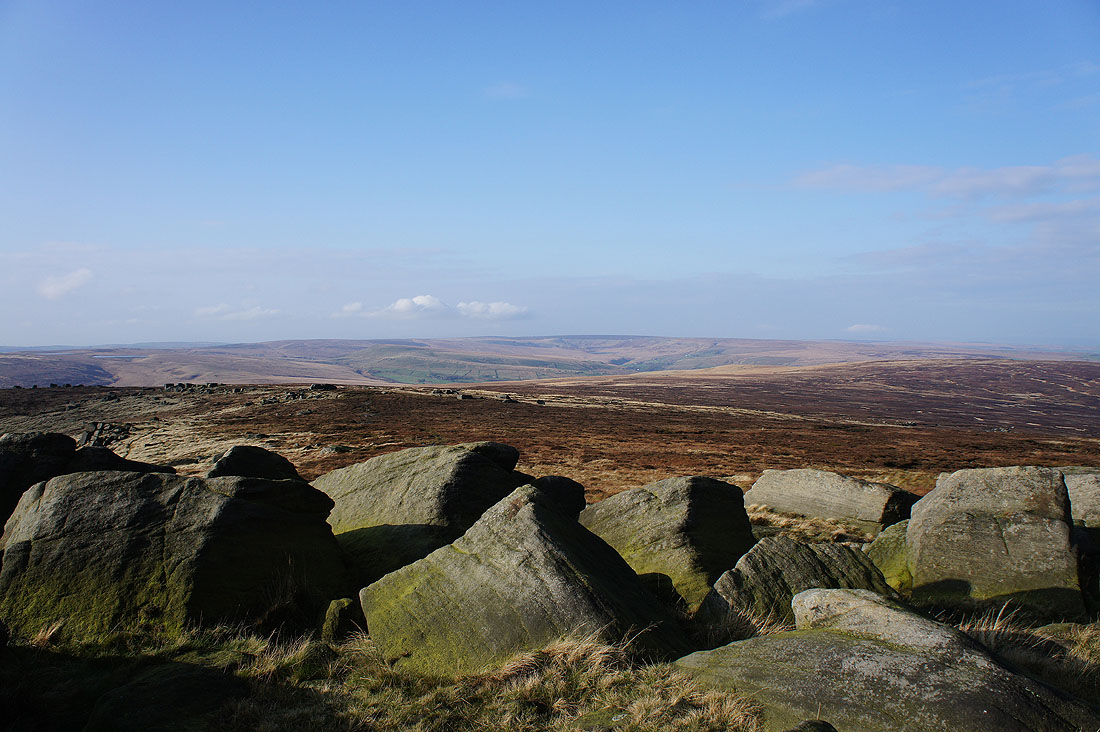
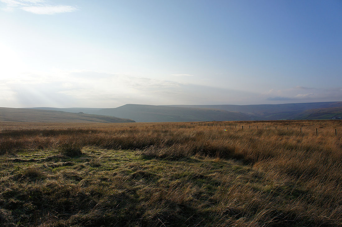
To the south the dark mass of Black Hill and the Wessenden Head Road heads up to join the Holmfirth Road
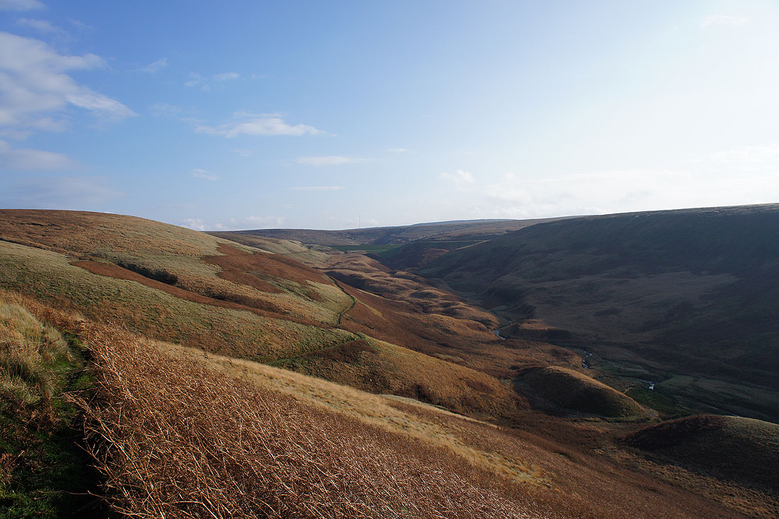
The deep cloughs of Wessenden Moor
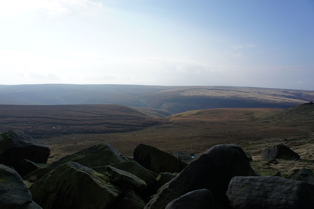
Looking west past the nearby Raven Rocks to Standedge and the moors of the watershed
Pule Hill and Buckstones to the northwest
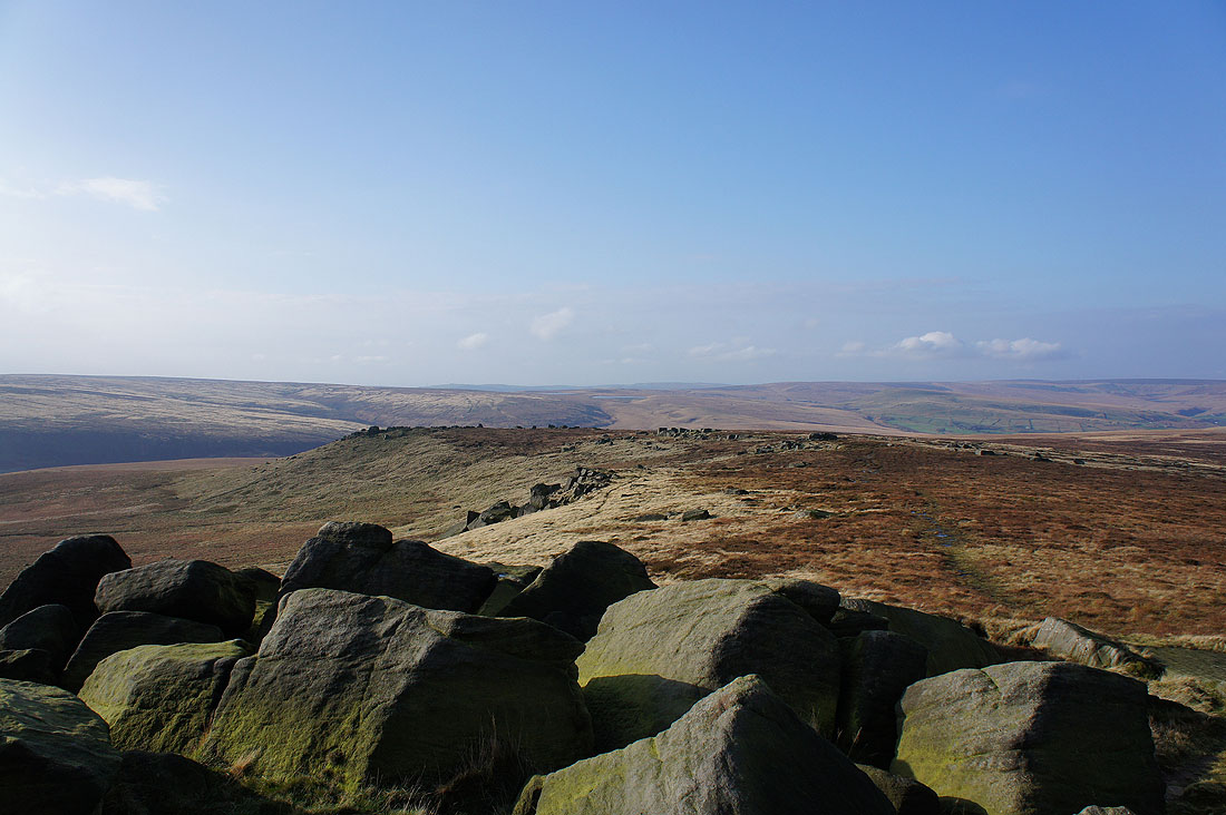
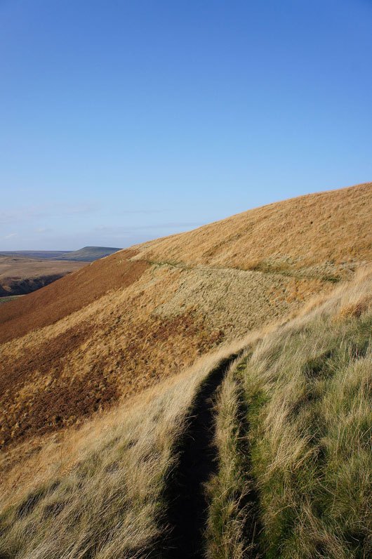
Meltham Moor continues to the north and ends with Shooters Nab. My route will take me round its other side.
One last shot. With the sunshine it's a nice place to be.
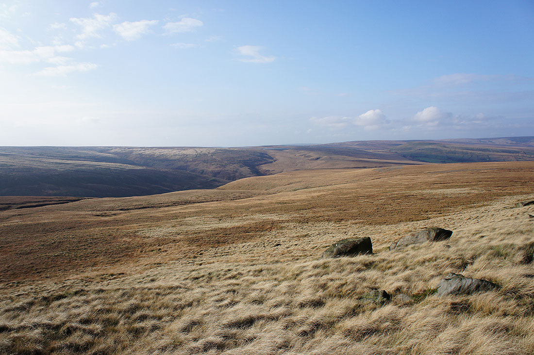
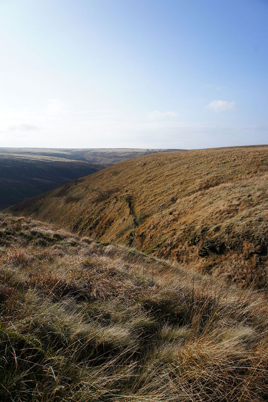
The next bit of the route is pathless. I'm aiming for the top of the clough in the middle of the picture, Leyzing Clough on the OS Explorer map. This innocuous looking bit of terrain has to be the roughest and hardest to cross that I've encountered all year. Long grass and big tussocks meant that I had to be really careful where I was putting my feet. I was glad that I'd brought my trekking poles so that I could check the ground before I committed to it.
|
|
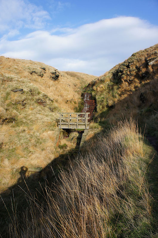
Hooray! At the top of Leyzing Clough and I've found a thin path. I can also see the path on the hillside that's on the map and onto the proper path and the footbridge over Leyzing Clough.
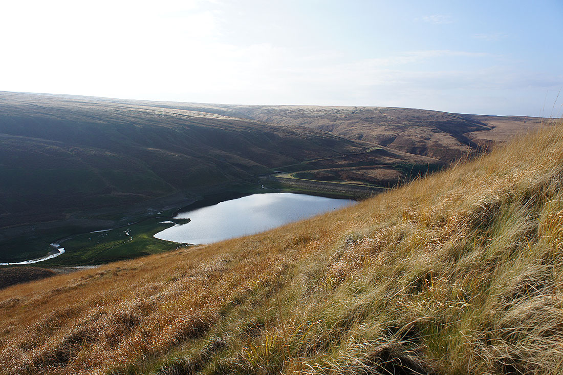
Wessenden Reservoir below
Looking up the valley of Wessenden Brook. I can see the dam of Wessenden Head Reservoir.
I'm enjoying this path across the side of the moor
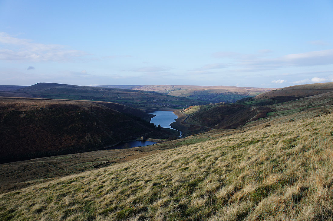
A little bit of Blakeley Reservoir and Butterley Reservoir at the foot of the Wessenden valley
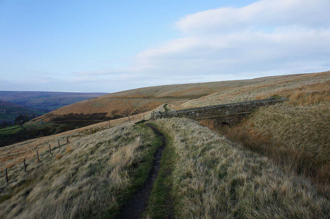
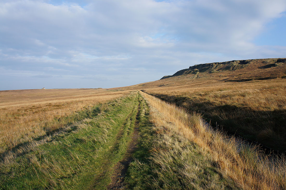
The path now has a catchwater drain for company
and as I round Rams Clough below Binn Moor, Pule Hill appears directly ahead
The village of Marsden below from Binn Edge
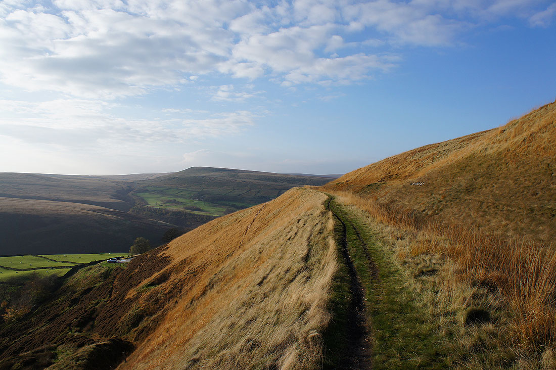
Following the path by Deer Hill Conduit below Shooters Nab
Looking across the Colne valley to Buckstones
and back to Pule Hill
and down the Colne valley towards Slaithwaite
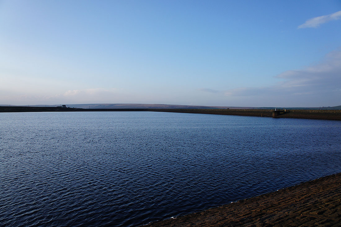
By Deer Hill Reservoir
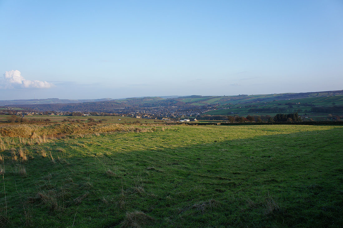
Meltham in sight at last