9th October 2016 - Fountains Fell & Penyghent
Walk Details
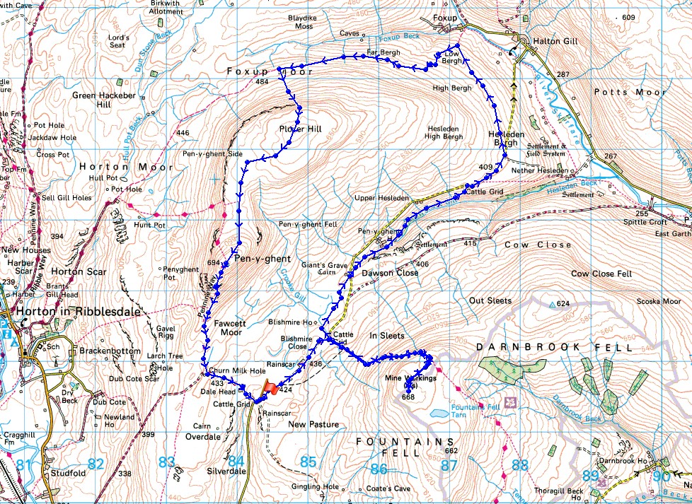
Distance walked: 12.4 miles
Total ascent: 2500 ft
OS map used: OL2 - Yorkshire Dales, Southern & Western areas
Time taken: 7.5 hrs
Route description: Dale Head, Silverdale Road-Pennine Way-Fountains Fell-Pennine Way-Blishmire House-Penyghent Gill-Hesleden Bergh-Foxup Road-Plover Hill-Penyghent-Pennine Way-Dale Head, Silverdale Road
I decided to head for the Yorkshire Dales for my walk this weekend and with Penyghent being the one of the three peaks that I've not climbed so far this year that was the obvious choice. For a change I set off from somewhere other than Horton-in-Ribblesdale, the top of the Silverdale Road between Stainforth and Halton Gill. This is definitely the quiet side of Penyghent. As well as giving me peaceful paths to walk it also gave me the opportunity to visit the summit of Fountains Fell, which I'd not been to since July 2011, when I did this exact same route. For the most part I enjoyed fine autumn weather with a mix of cloud and sunny spells although I did get caught by a shower between Plover Hill and Penyghent. With a fairly light breeze it had felt quite warm in the sun but once that shower had passed through at the end of the afternoon there was a real chill to the air. The colder autumn weather is on its way.
After parking on the verge near the cattle grid at the top of the Silverdale Road I set off by following the trail of the Pennine Way north along the road towards Halton Gill. The trail took me up Fountains Fell and after leaving it to pay the summit cairn and Fountains Fell Tarn a visit I returned to it and made my way back down to the road. I then crossed the road and took the footpath to Blishmire House, before heading northeast across fields and the road again to take the footpath that runs along the hillside above Penyghent Gill. I had my lunch sat in the sun next to this path before heading uphill to the road to Halton Gill. Another walk along the road to Halton Gill came next before leaving it for the bridleway to Foxup, this was a rough track to the left as the road started its descent into Littondale. When this bridleway started to head downhill to Foxup I turned left onto the Foxup Road bridleway that heads west towards Horton-in-Ribblesdale. I then followed this until I reached the fingerpost that points the way to Plover Hill. A steep climb brought me to the top of Plover Hill and after walking along the sometimes boggy path between them I reached the trig point and summit of Penyghent. I finished with taking the trail of the Pennine Way down the steep nose of Penyghent and past Dale Head to where I was parked.
Route map
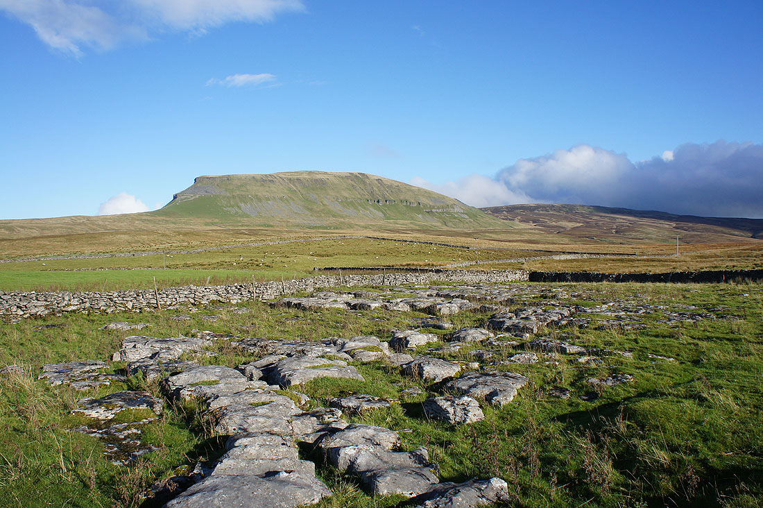
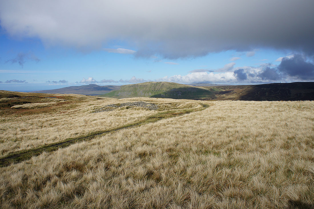
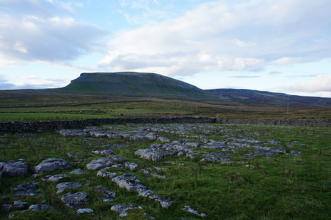
Penyghent and Plover Hill from where I parked next to the Silverdale Road. Different from the view I'm used to seeing from Horton.
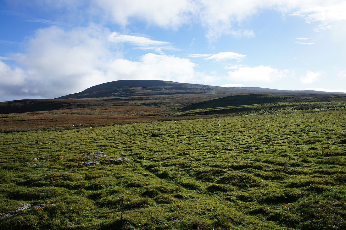
Fountains Fell. That's my first destination, which I'll reach by following the trail of the Pennine Way..
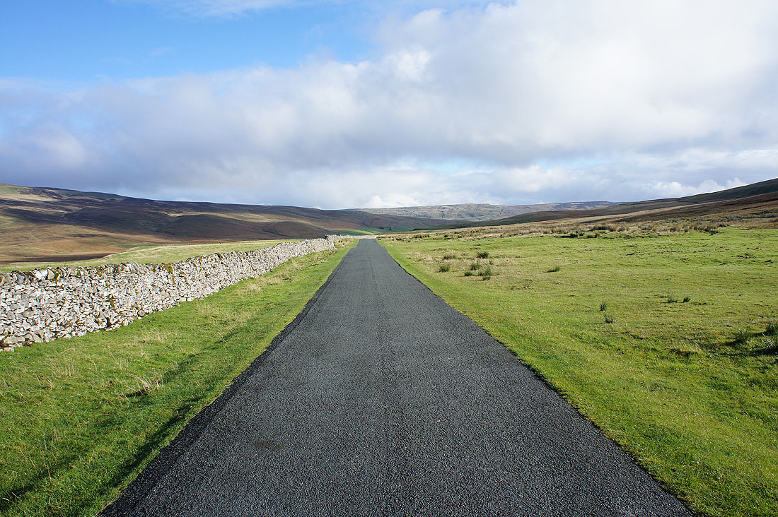
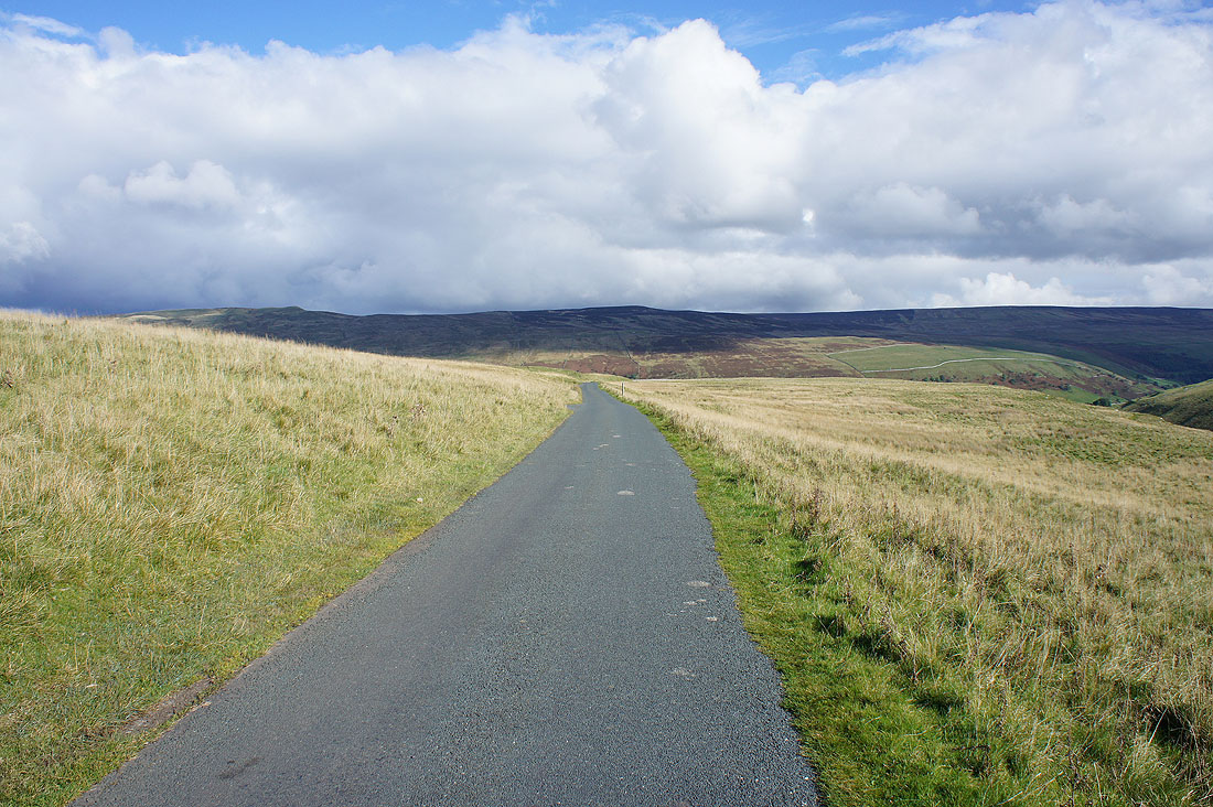
..along the road to Halton Gill
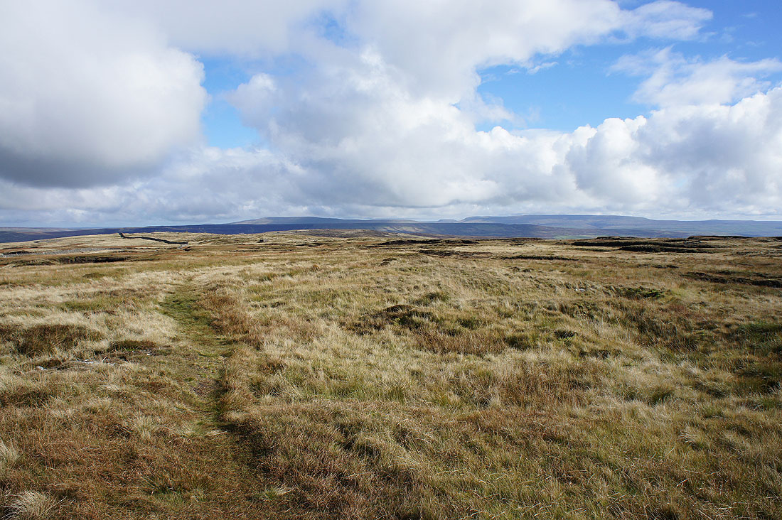
Looking back to Ingleborough, Penyghent and Whernside as I reach the top of the climb up Fountains Fell
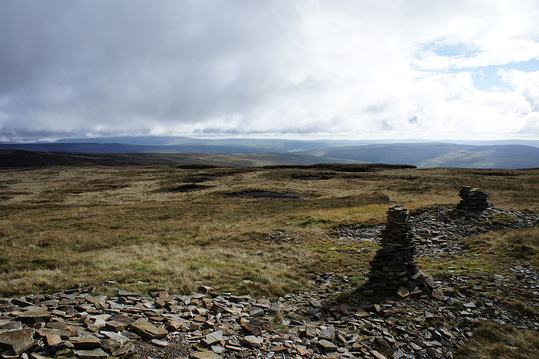
Great Whernside and the fells around Wharfedale from the cairns at the northern edge of the fell. This isn't the summit though, I can see the cairn that marks that a short distance away.
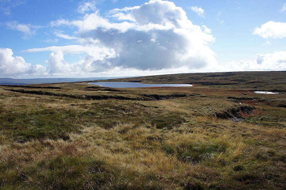
I walked past it to get this shot of Fountains Fell Tarn
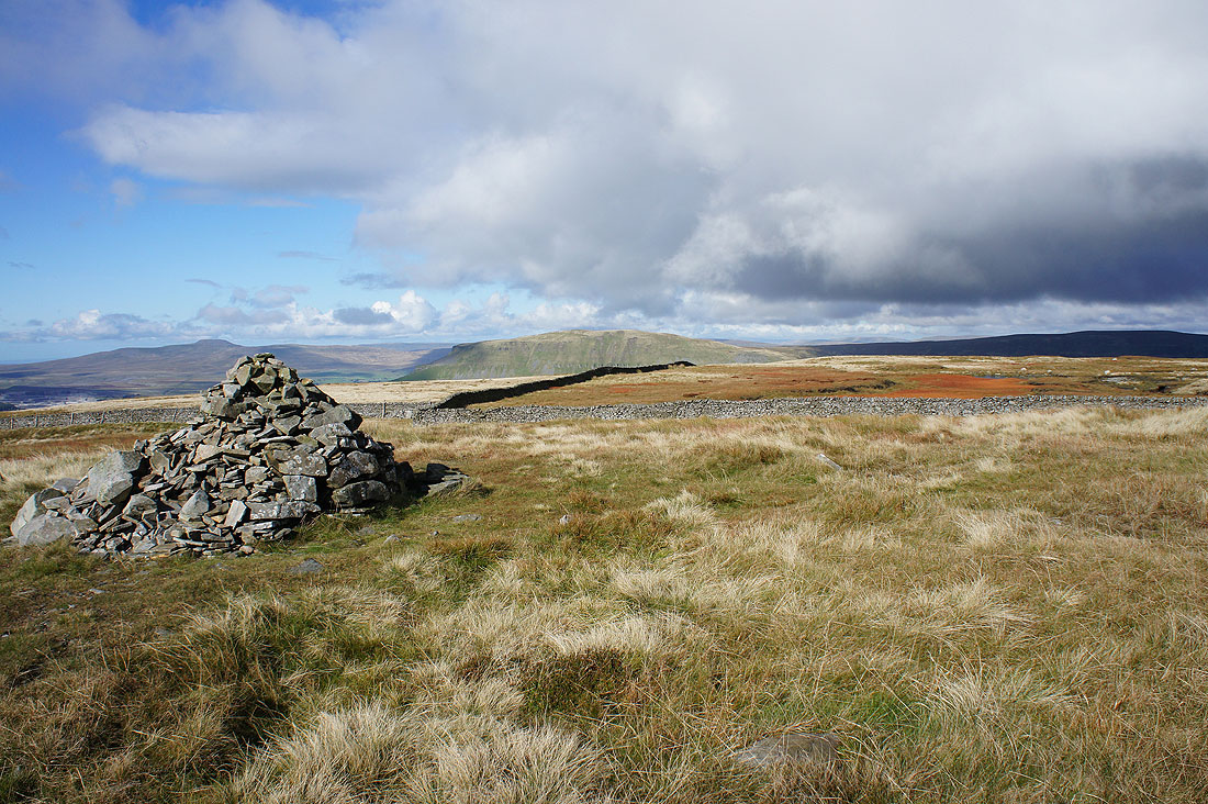
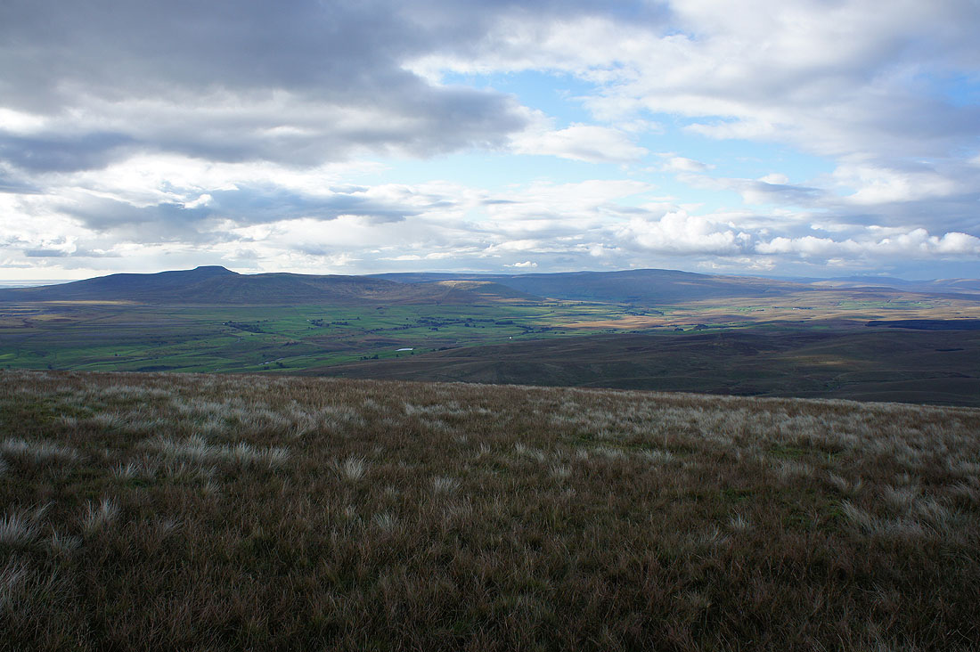
Ingleborough and Penyghent from the summit of Fountains Fell
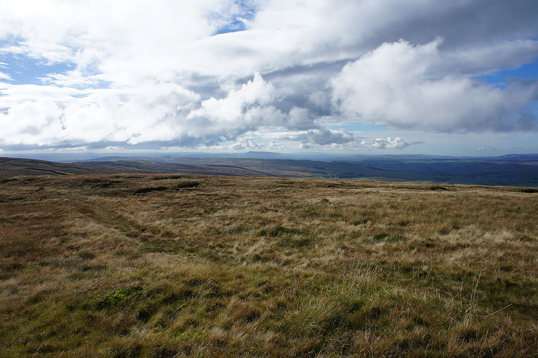
Looking down Ribblesdale to a distant Pendle Hill
Buckden Pike and Great Whernside as I head back to the Pennine Way
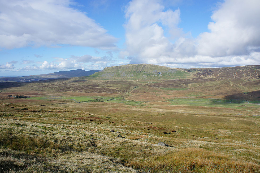
There's a great view of Ingleborough and Penyghent as I head back down to the Silverdale Road
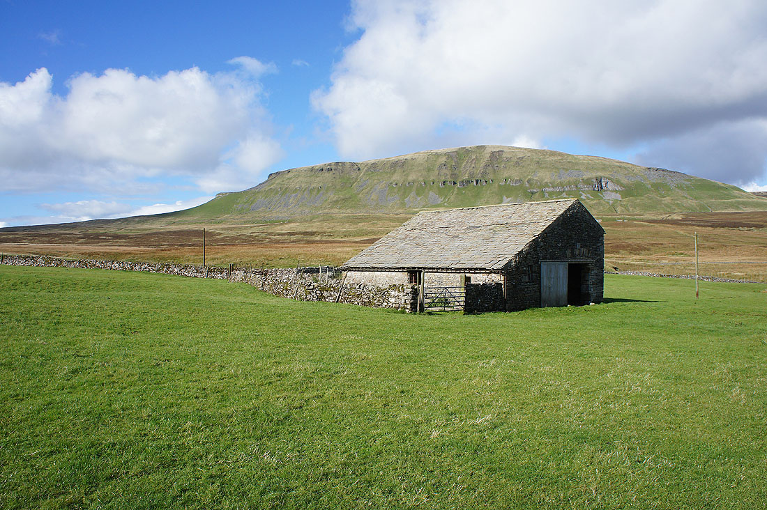
Penyghent behind the barn of Blishmire House
After the path from Blishmire House crossed the road to Halton Gill I reach the top of the ravine of Penyghent Gill
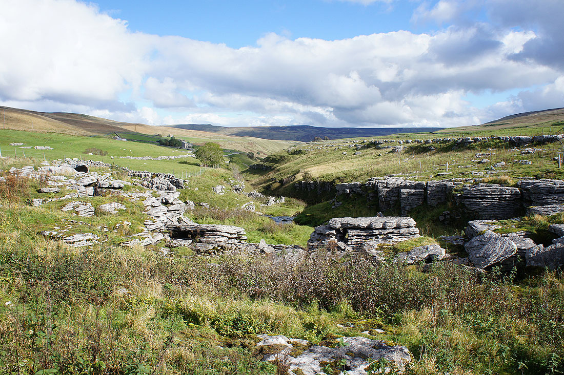
This rapidly deepens to my right as I follow the path past Penyghent House
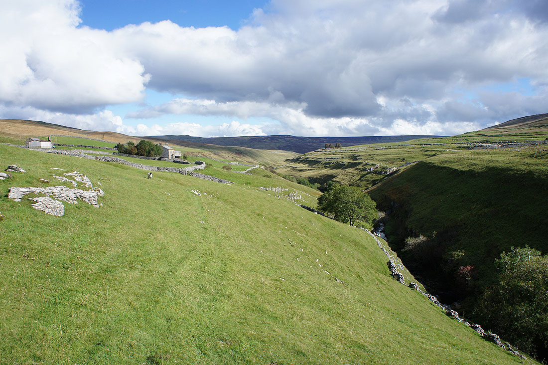
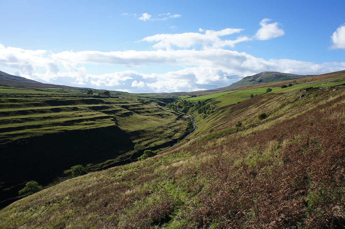
This was a lovely spot to sit down and have my lunch. A fabulous view up Penyghent Gill with Penyghent up on the right.
On the road to Halton Gill again
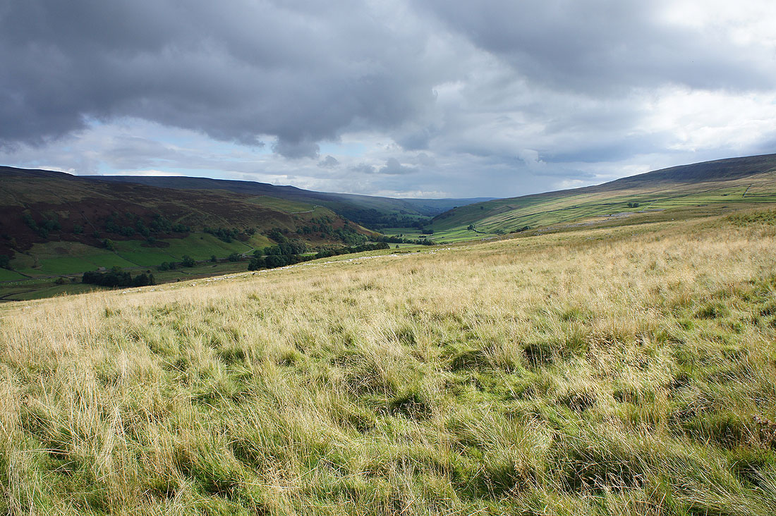
Littondale to my right as I follow the bridleway towards Foxup
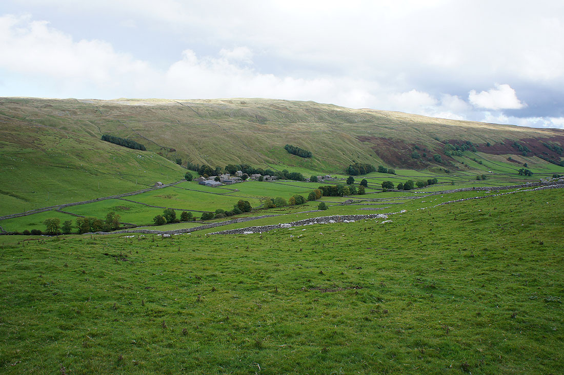
The hamlets of Halton Gill..
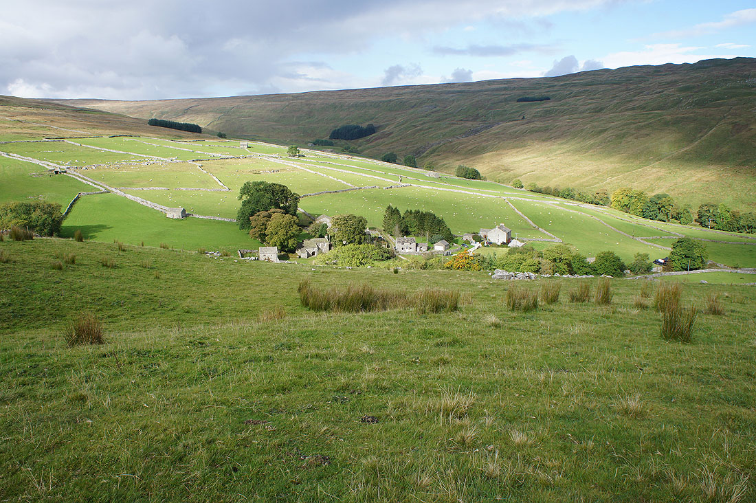
..and Foxup at the top end of Littondale
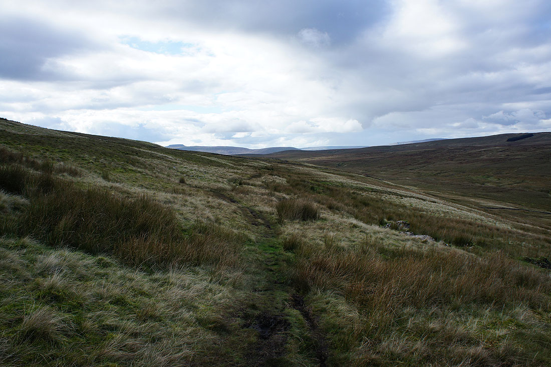
Ingleborough appears ahead as I near the top of the Foxup Road bridleway to Horton
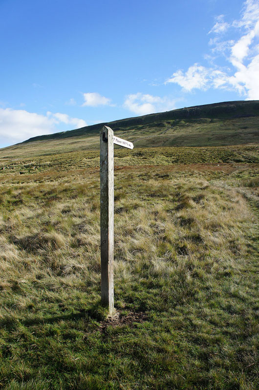
Plover Hill beckons
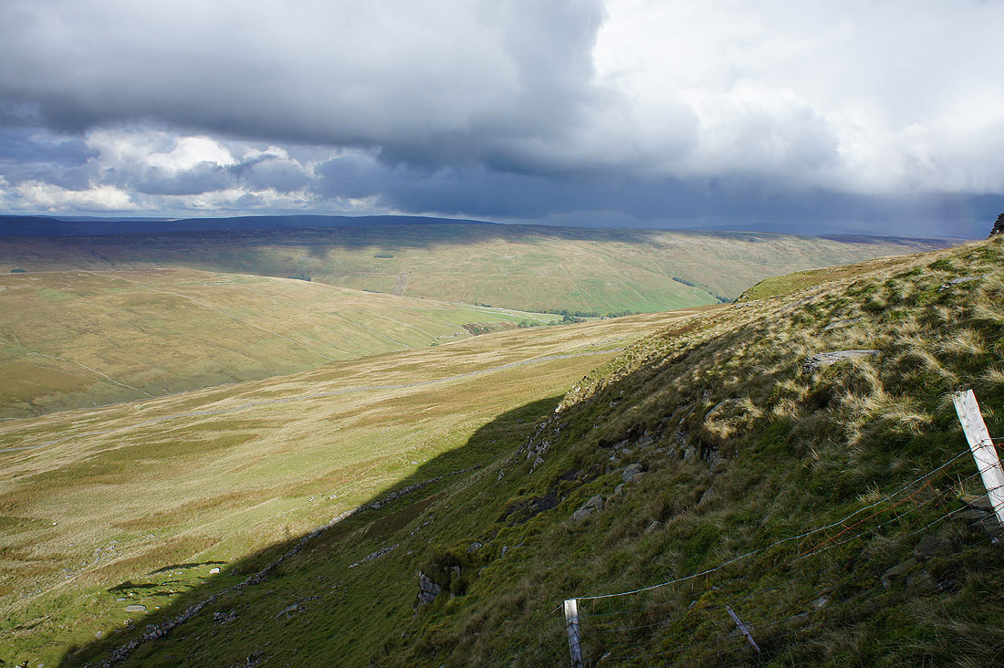
Dark clouds gather to the north as I reach the top of the climb. They're heading this way.
Ingleborough, Ribblehead and Whernside from Plover Hill
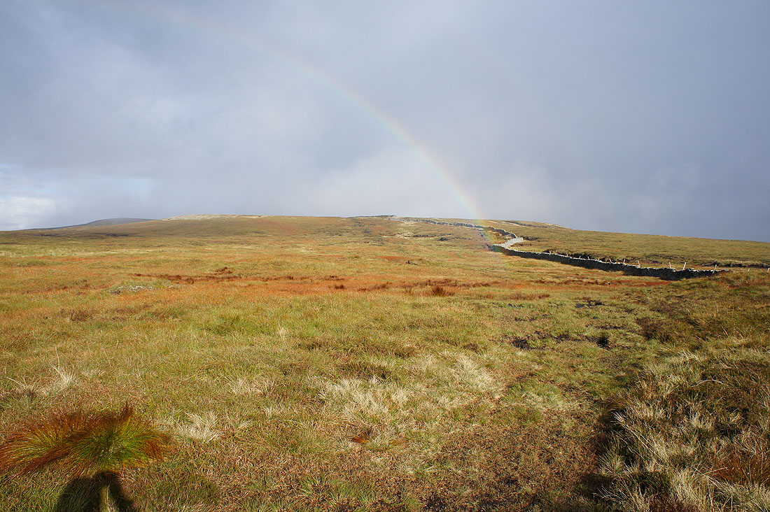
It looks like I'm going to get rained upon
Heading for Penyghent
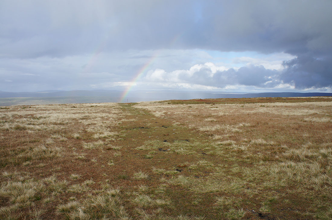
Ten minutes later and there's another rainbow as the shower clears. Cloud briefly covered the top of Penyghent.
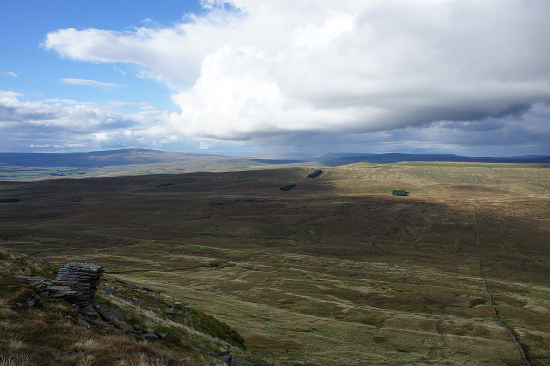
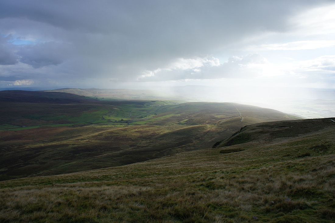
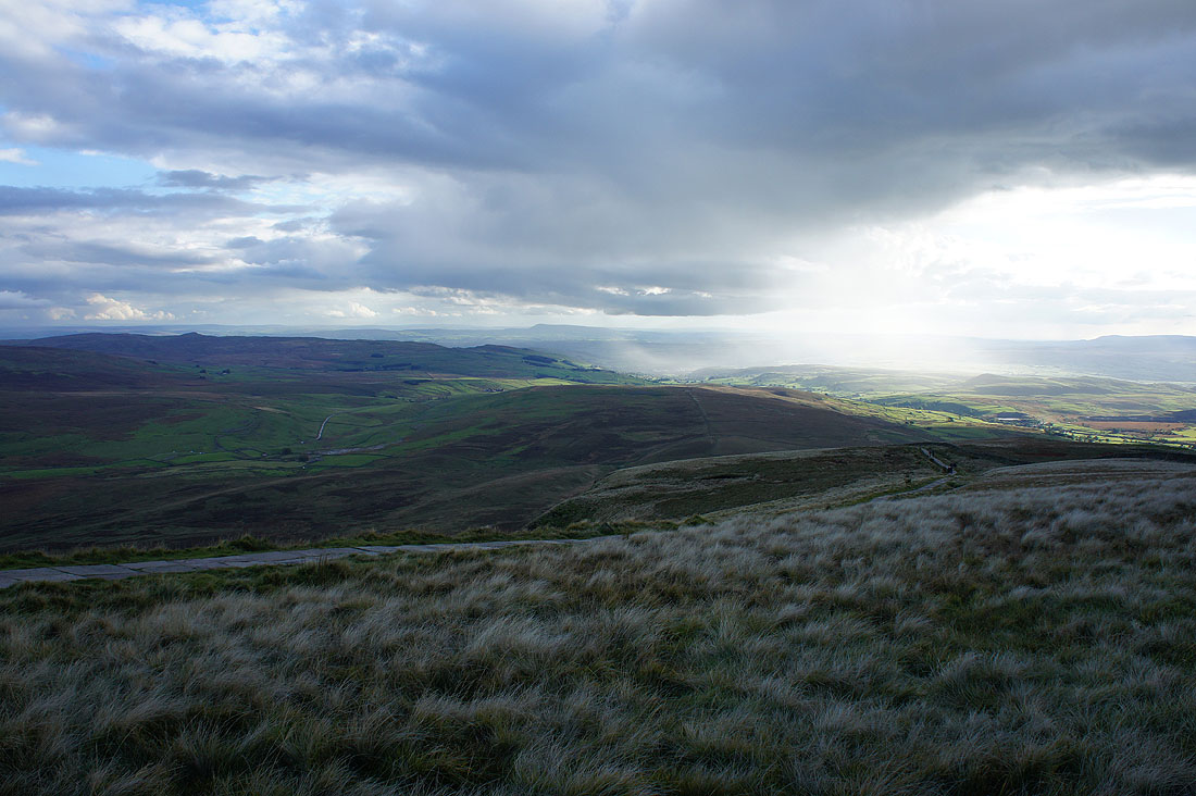
Looking down Silverdale from the top of Penyghent. There's a real contrast in light and shade as the low sun shines on the rain from the shower as it moves away.
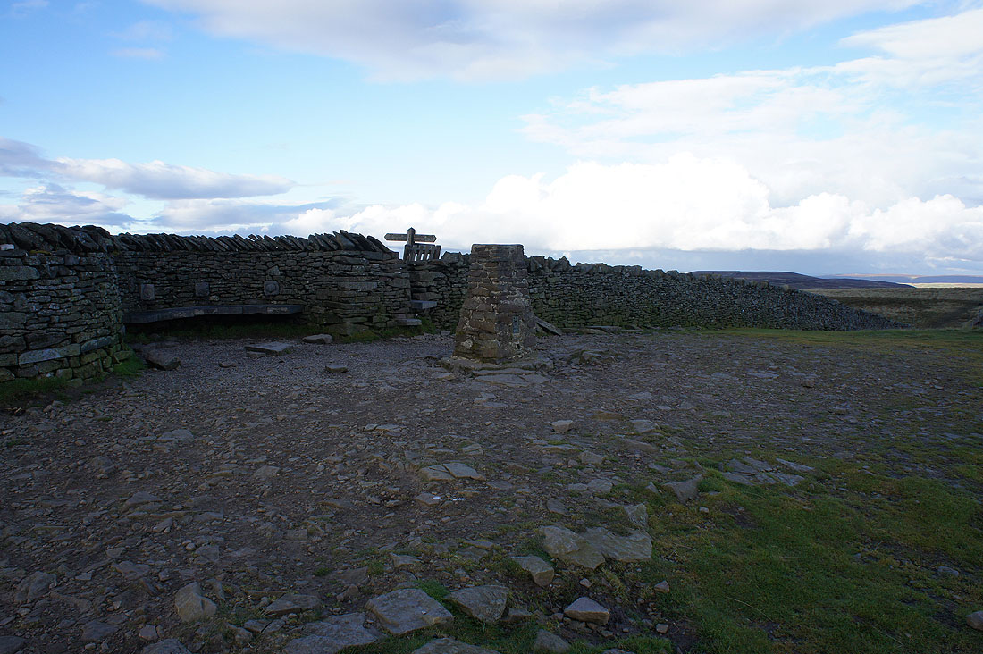
The trig point on the summit
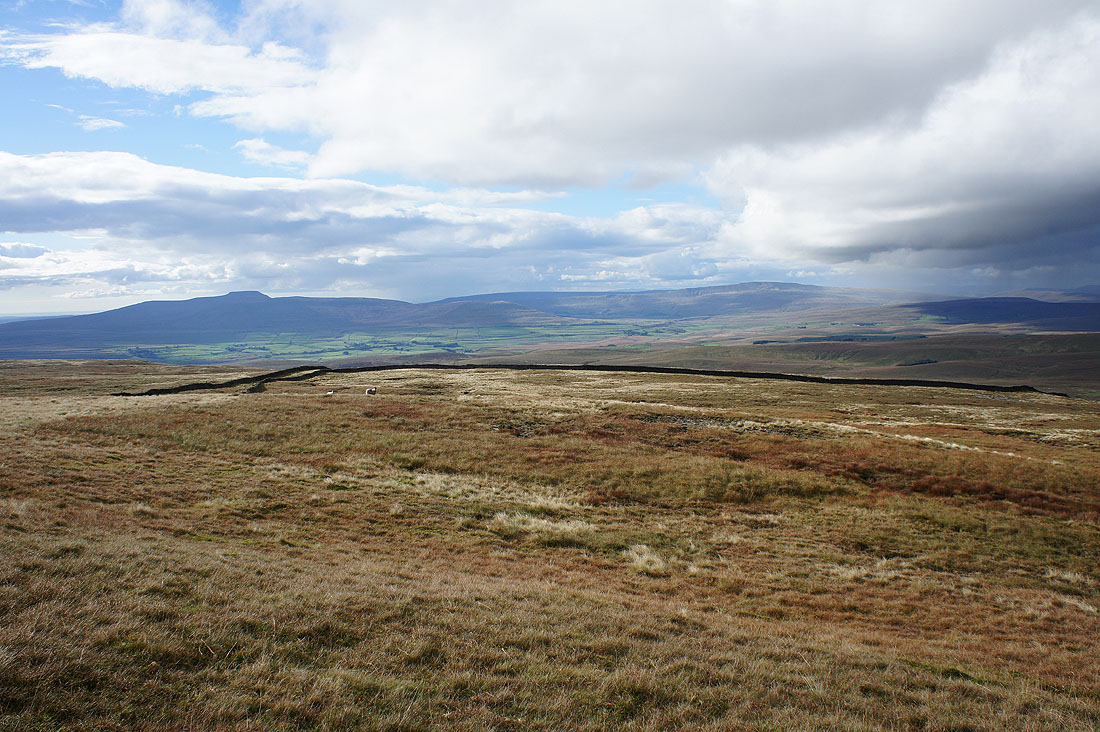
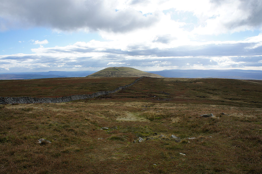
On the other side of the wall for a view across to Ingleborough and Whernside
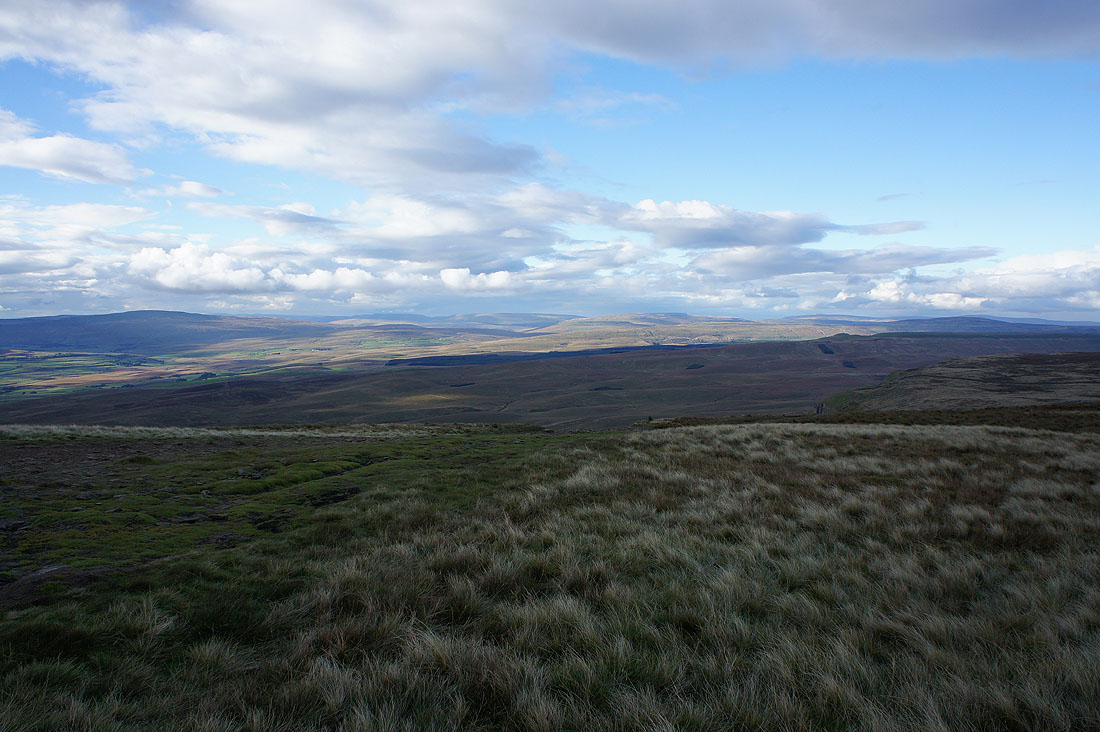
Whernside, the Howgills, Baugh Fell, Great Knoutberry Hill, High Seat above Mallerstang and Dodd Fell Hill
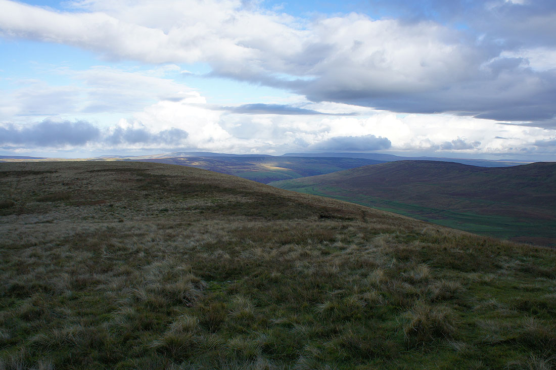
Buckden Pike, Great Whernside, Horse Head Moor and Darnbrook Fell. That shower has really cooled the air. It feels chilly and quite autumnal.
A sunlit Ribblesdale with Pendle Hill in the distance
Penyghent as I make it back to where I'm parked. I had hoped that the setting sun would be shining on it but no joy.
