9th September 2011 - Hog Lowe Pike
Walk Details
Distance walked: 2.3 miles
Total ascent: 526 ft
OS Map used: 287 - West Pennine Moors
Time taken: 1.5 hrs
Route description: Calf Hey Reservoir-Hog Lowe Pike-Calf Hey Reservoir
For this evening walk I parked in the car park at Calf Hey Reservoir before making my way up to the summit of Hog Lowe Pike in the West Pennine Moors. I returned by the same route.
Route map
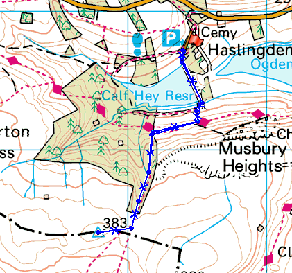
© Crown copyright. All rights reserved. License number PU 100034184.
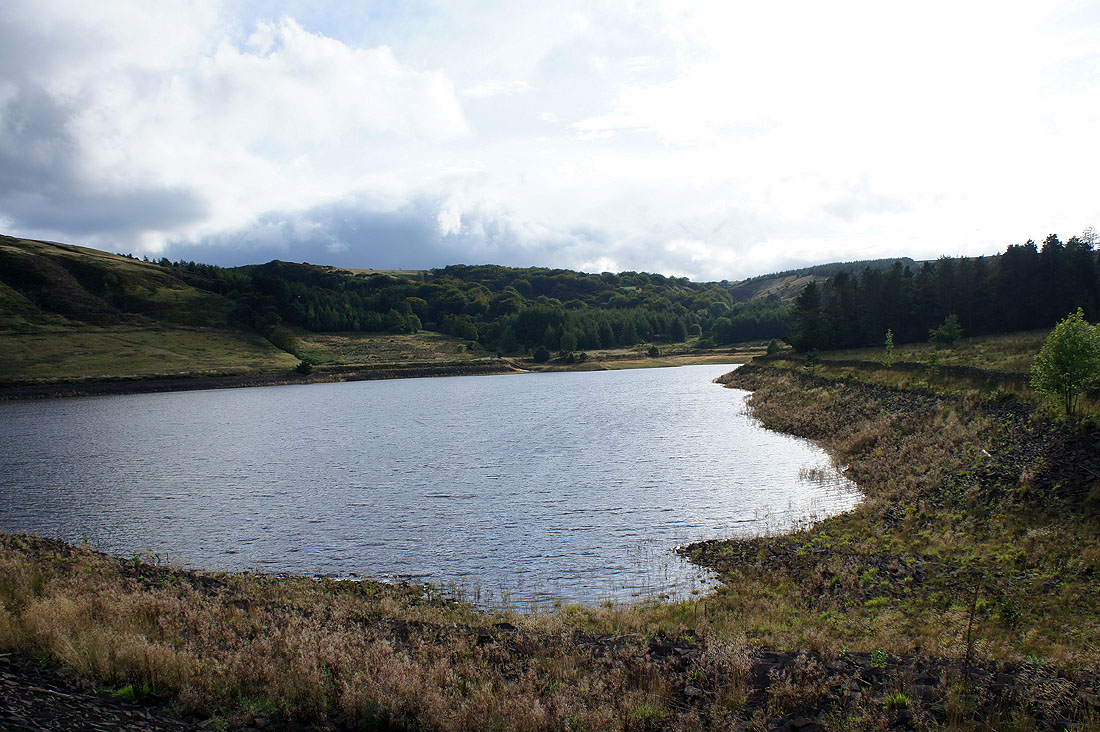
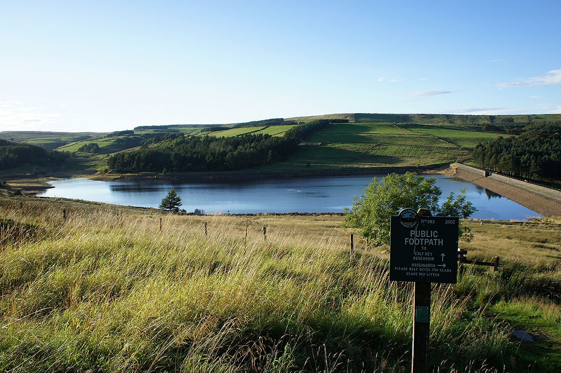
Calf Hey Reservoir

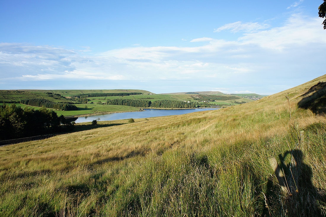
Ogden Reservoir
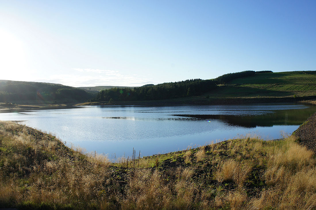
Calf Hey Reservoir again
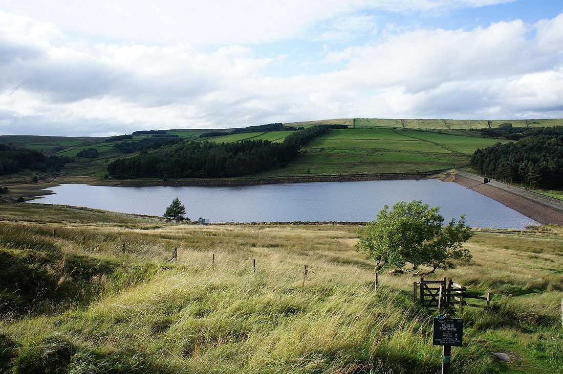
Calf Hey and Ogden Reservoirs as I start to make my way uphill
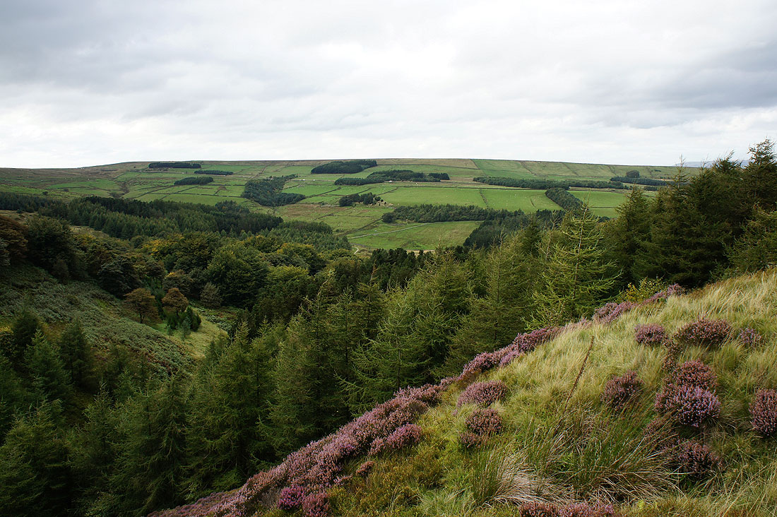
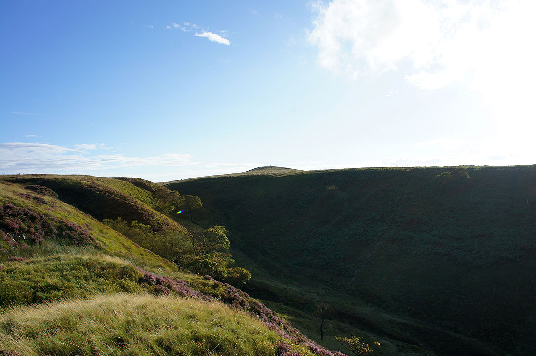
Out of the trees that surround the reservoir
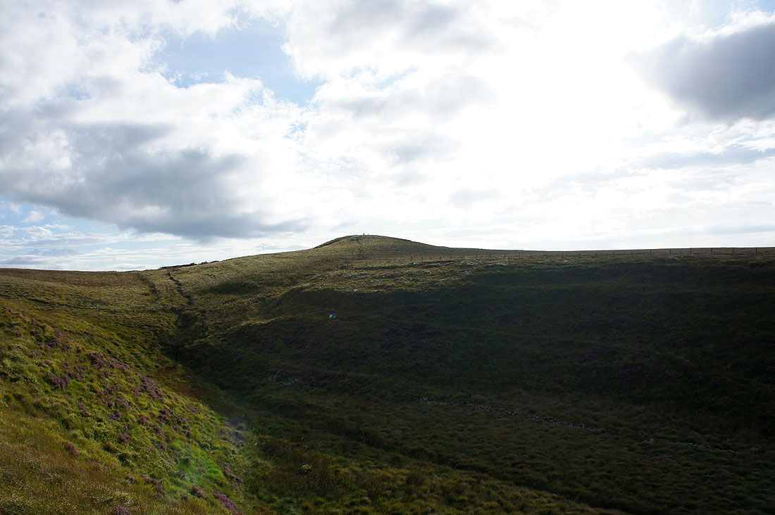
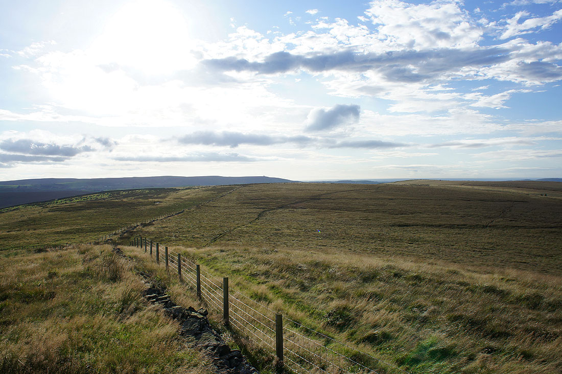
Hog Lowe Pike ahead
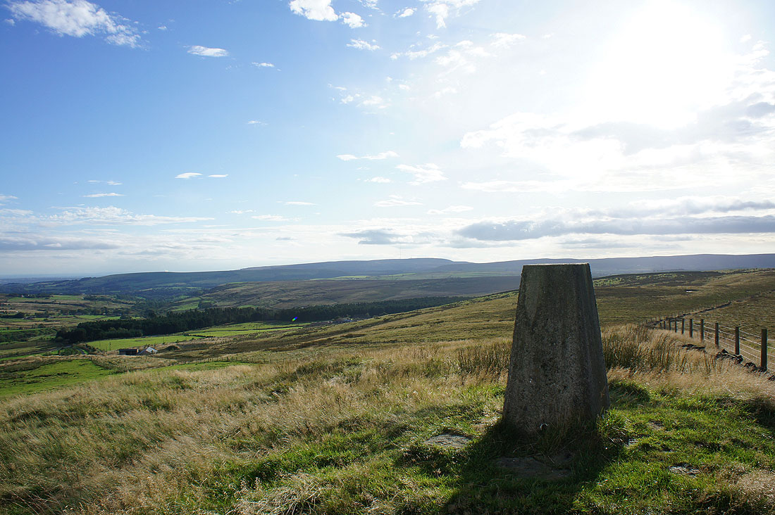
The view from Hog Lowe Pike to Winter Hill
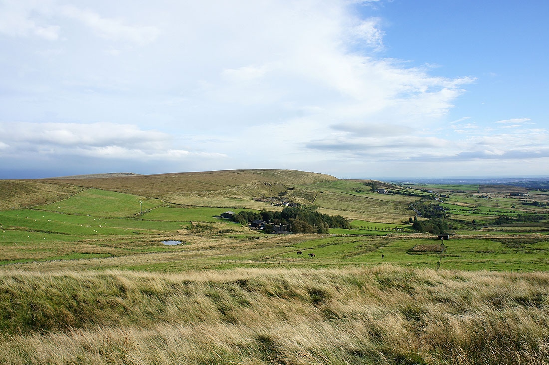
Scholes Height behind Cotes Farm
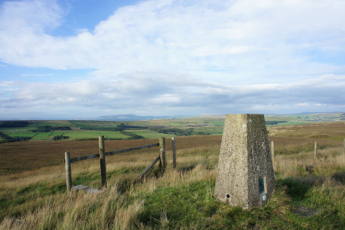
Pendle Hill in the distance
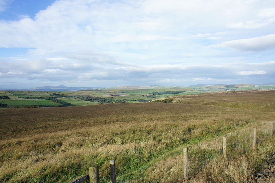
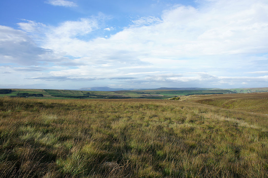
The view north to Rushy Hill and Oswaldtwistle Moor
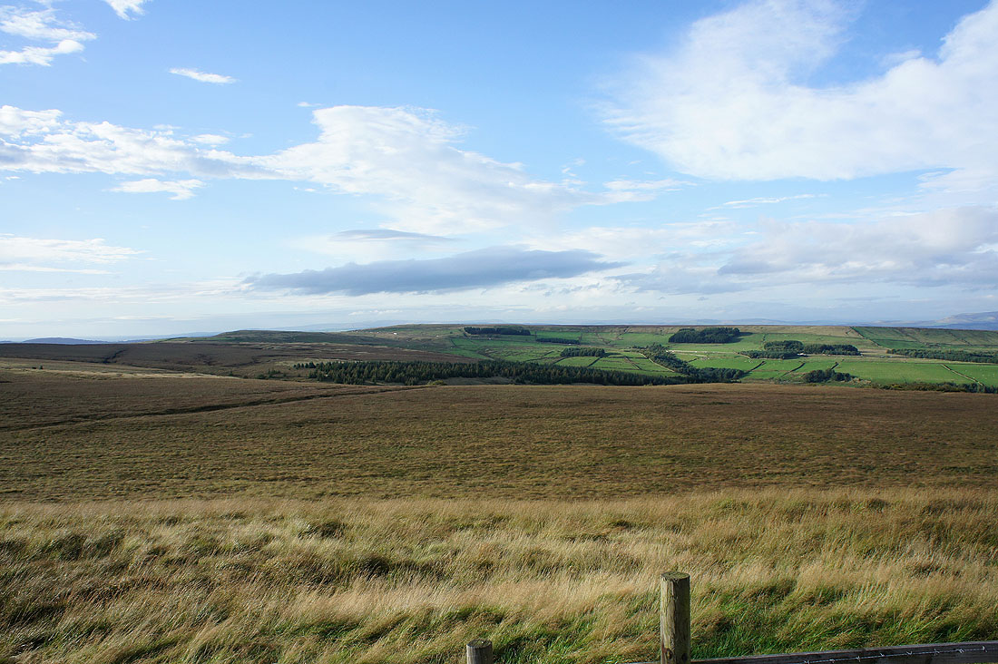
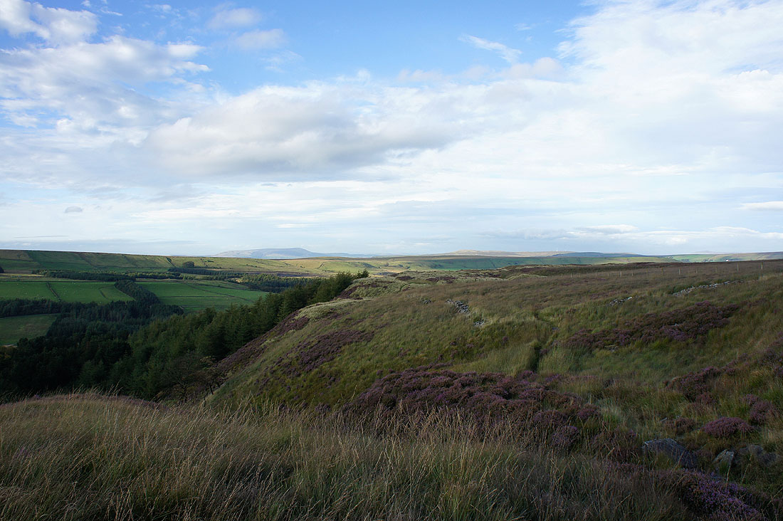
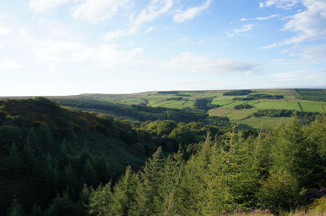
The valley of Haslingden Grane below
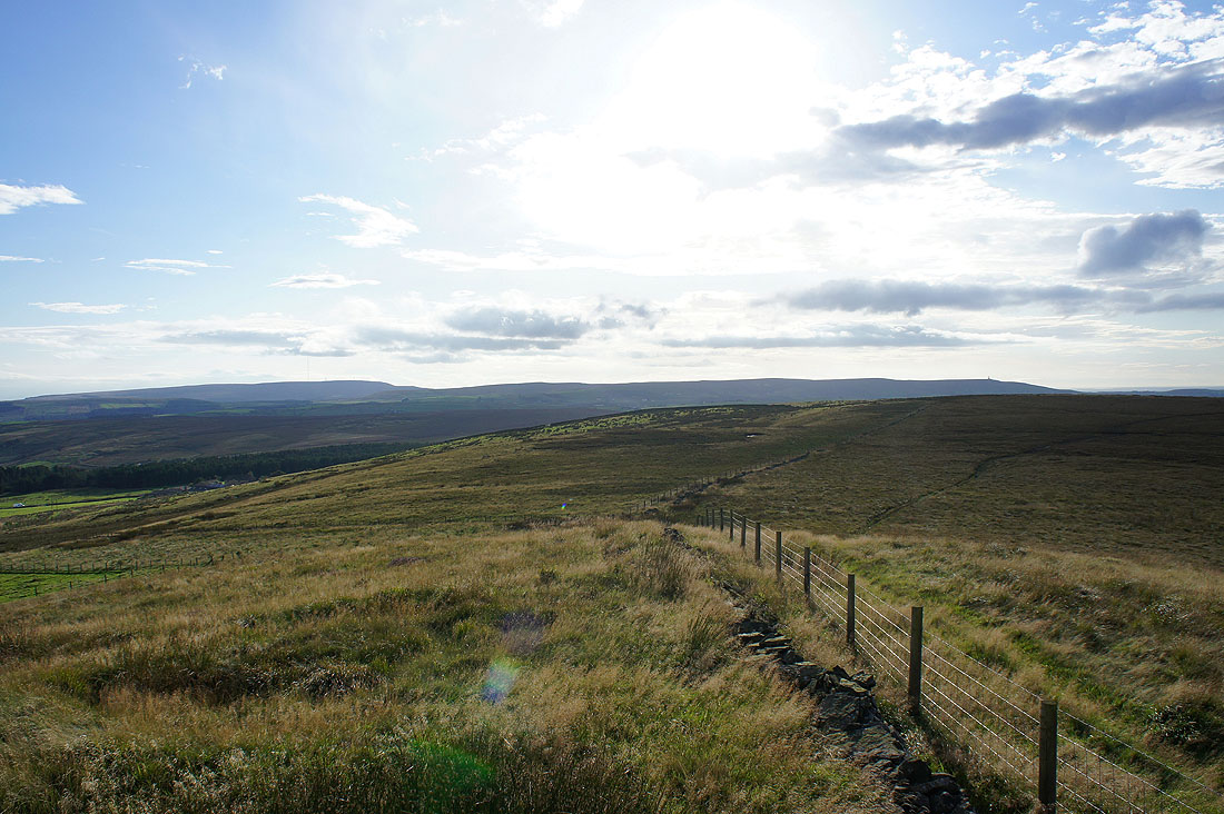
Winter Hill and Darwen Moor
Darwen Moor beyond Edgerton Moss

The valley below eventually leads down to Bolton
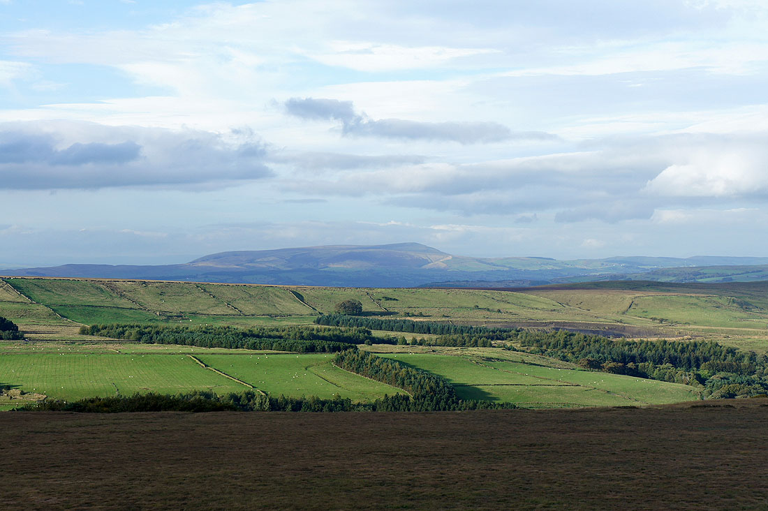
Zooming in on Pendle Hill
Views across to Pendle Hill as I head back down..
The view back to Hog Lowe Pike
Haslingden Grane
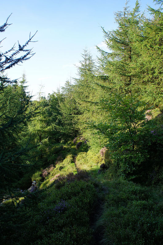
Walking back through the trees
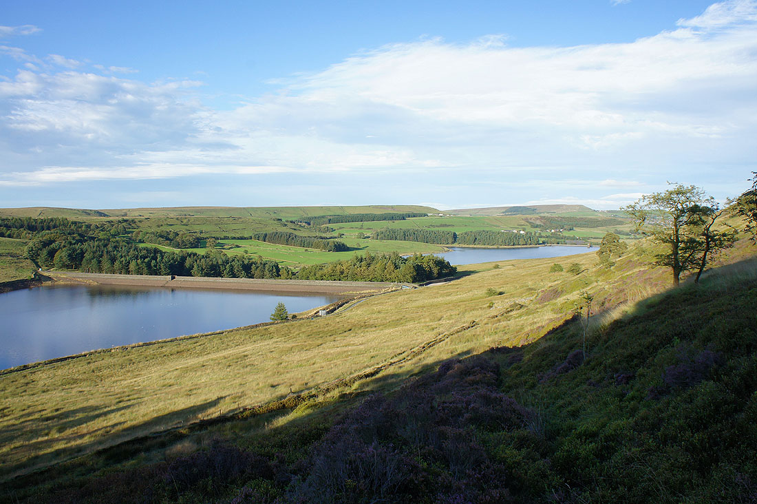
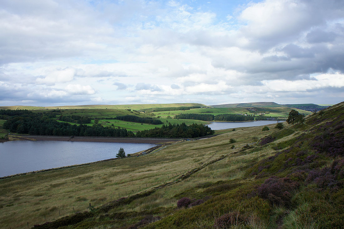
Back above the reservoirs
Calf Hey Reservoir
Ogden Reservoir
Back at Calf Hey Reservoir