9th September 2012 - Whelp Stone Crag
Walk Details
Distance walked: 10.2 miles
Total ascent: 1319 ft
OS map used: OL41 - Forest of Bowland & Ribblesdale
Time taken: 7 hrs
Route description: Giggleswick Station-Paley Green Lane-Storth Gill Lane-Lumb-Cocket Lane-Cocket Moss-Birchshow Rocks-Wham Lane-Lower Wham-Sandford Farm-Big Hill-Resting Stone-Whelp Stone Crag-Whelpstone Lodge-Hesley Cottage-Rathmell Beck-Swainstead Rake-Littlebank-Giggleswick Station
This walk is number 21 from Paul Hannon's book of "Bowland" walks. I was able to follow it but the footpaths are used very little so you have to keep on checking that you're on track. Also the green way of Cocket Lane is completely overgrown and waterlogged. Look for an alternative.
I started from Giggleswick station, leaving by the steps down to the main road and turning right to follow the lane under the railway. Where the lane branched I went left and then when that turns right I took a rough walled lane left. A path reaches Lumb farm and then I followed Cocket Lane, across Cocket Moss and under Birchshow Rocks to Wham Lane. A bit of road walking then past Lower Wham Farm to Sandford Farm. This is where access land is reached. Giggleswick Common is crossed to reach Big Hill. The high point of Resting Stone was next and then the forest boundary was followed more or less down to Whelp Stone Crag. There were several diversions for boggy bits.
My route back was down to the disused farm of Whelpstone Lodge, down the access track and the lane to Hesley. At Hesley Cottage I left the lane to cross farmland back to the start.
Route map
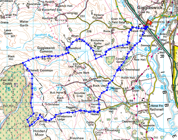
© Crown copyright. All rights reserved. License number PU 100034184.
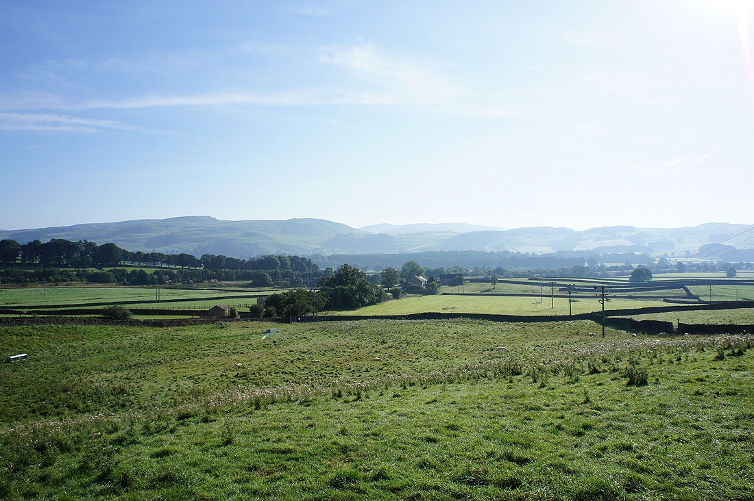
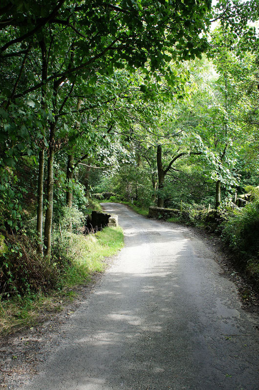
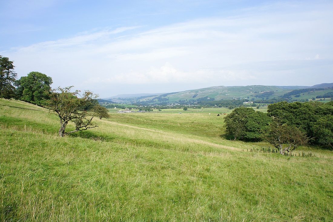
Shortly after leaving Giggleswick station and I have a view of the hills above Settle
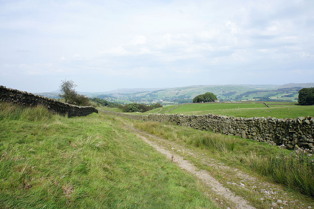
Looking back at the worst bit of Cocket Lane. Don't use it. It's badly overgrown and waterlogged. If I'd known beforehand I would have found an alternative.
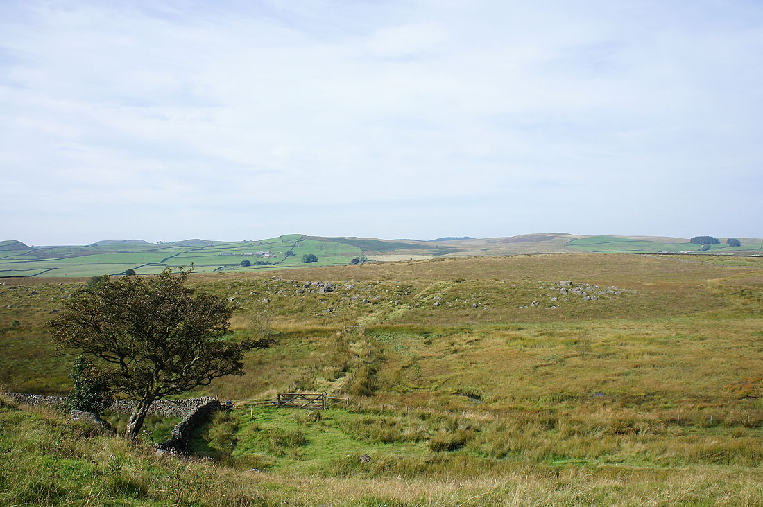
There's a raised path to cross Cocket Moss. I'm ultimately heading for the high point on the right and then I'll walk along the skyline to the left.
The rocks and trees of Rome Crag
Passing under Birchshow Rocks
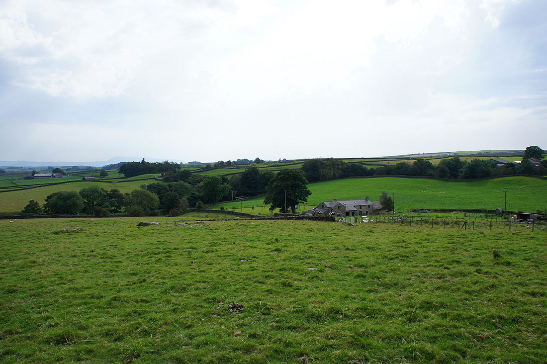
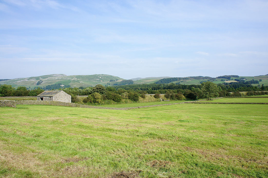
From Birchshow Rocks I joined Wham Lane to pass Lower Wham Farm, seen here
I left the road at Sandford Farm onto access land and Giggleswick Common
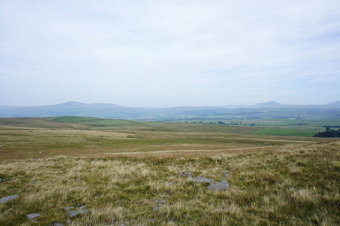
On Big Hill. A fine view across to Ingleborough and Penyghent.
Penyghent and Fountains Fell
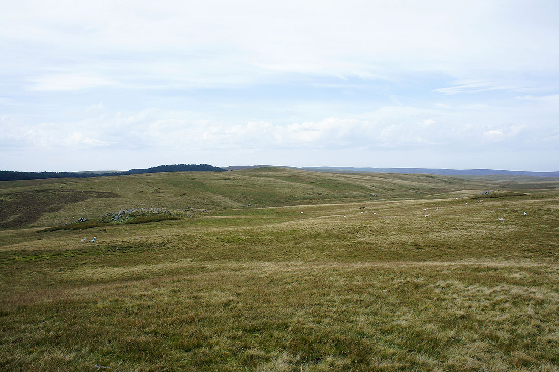
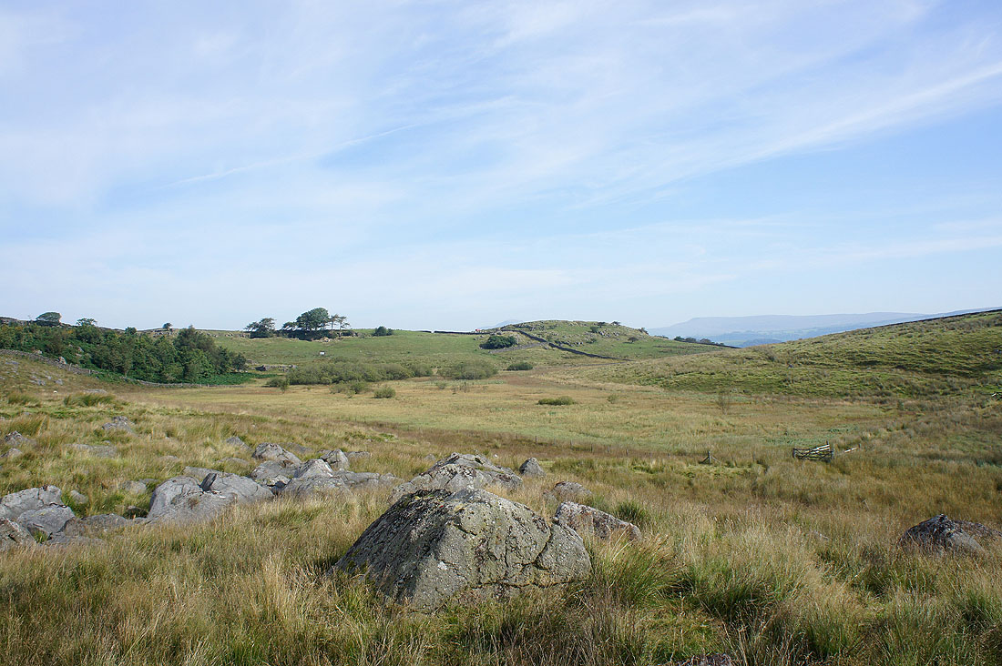
I'm going to head past the little rocky top of Foxholes Crag below on the left and then up to the trees to Resting Stone which is marked on the OS map
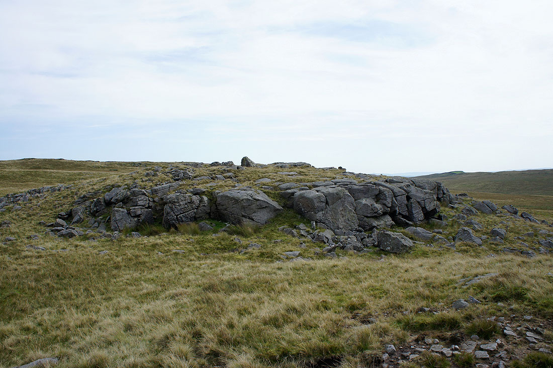
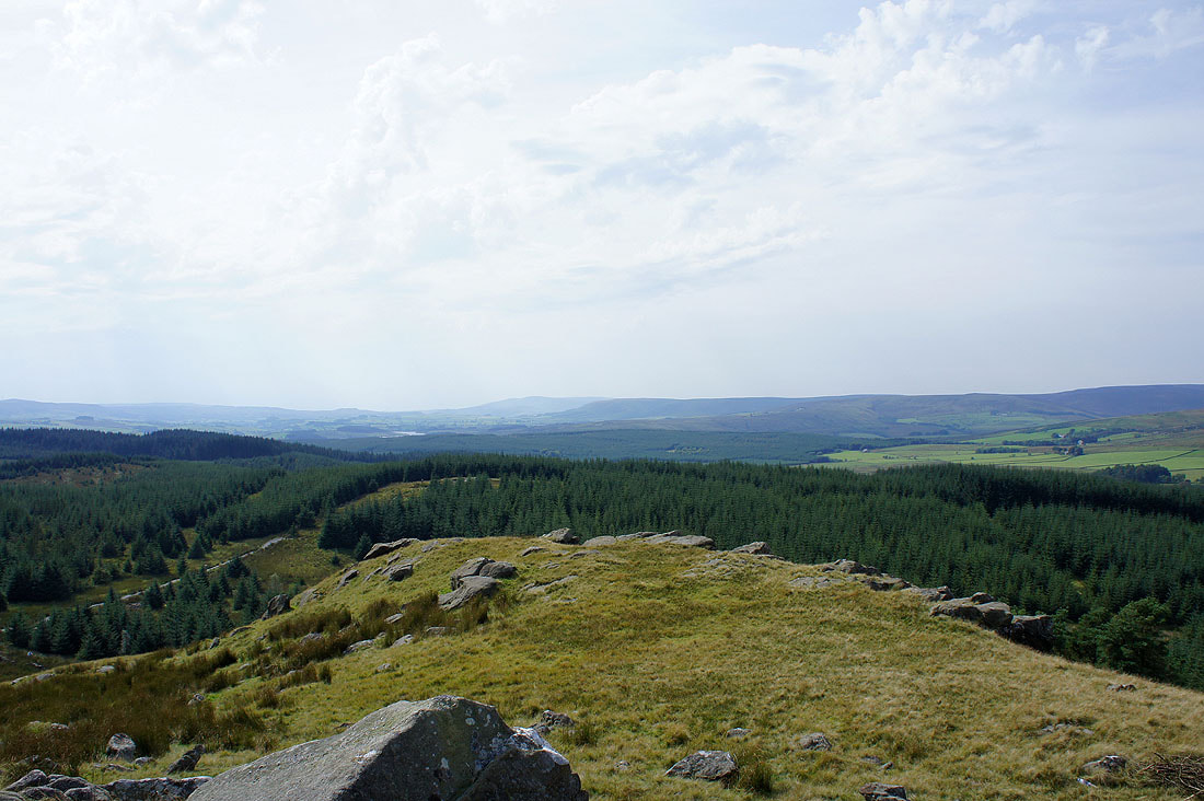
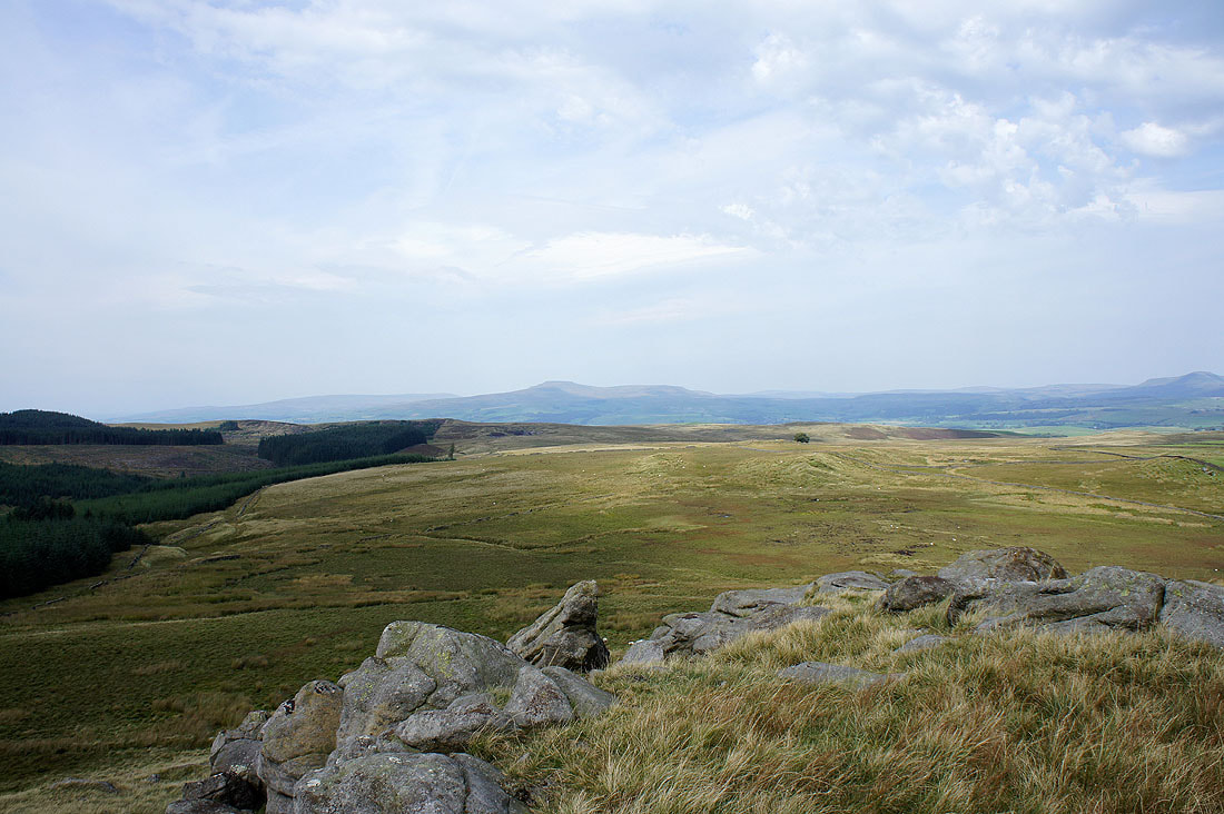
Whelp Stone Crag is the high ground in the centre of the picture
Foxholes Crag. In a sea of grass any rocky outcrop gets a name.
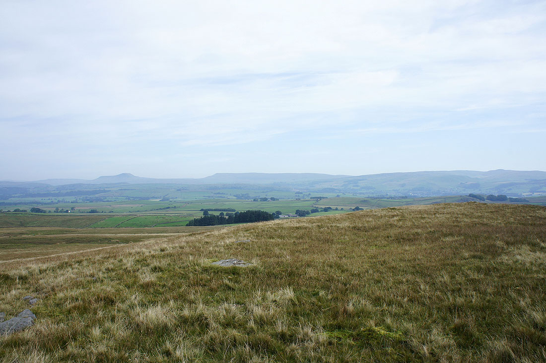
At Resting Stone looking across to Penyghent, Fountains Fell and the hills above Settle
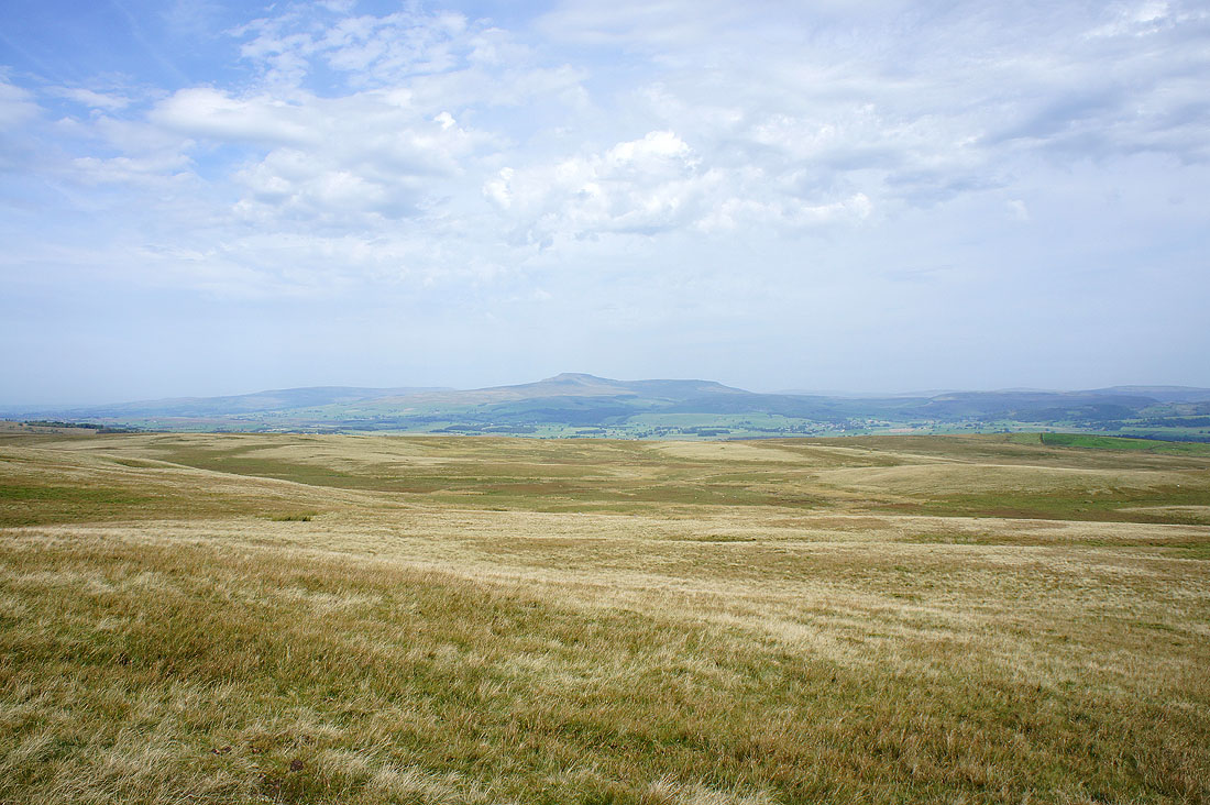
Ingleborough
Bowland Knotts are out to the west
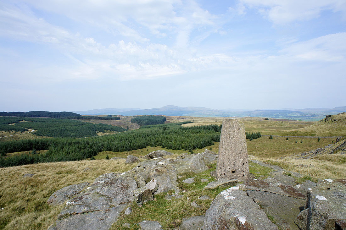
Ingleborough from Whelp Stone Crag. From Resting Stone I followed the forest boundary south with diversions for boggy bits to here, the high point of the walk.
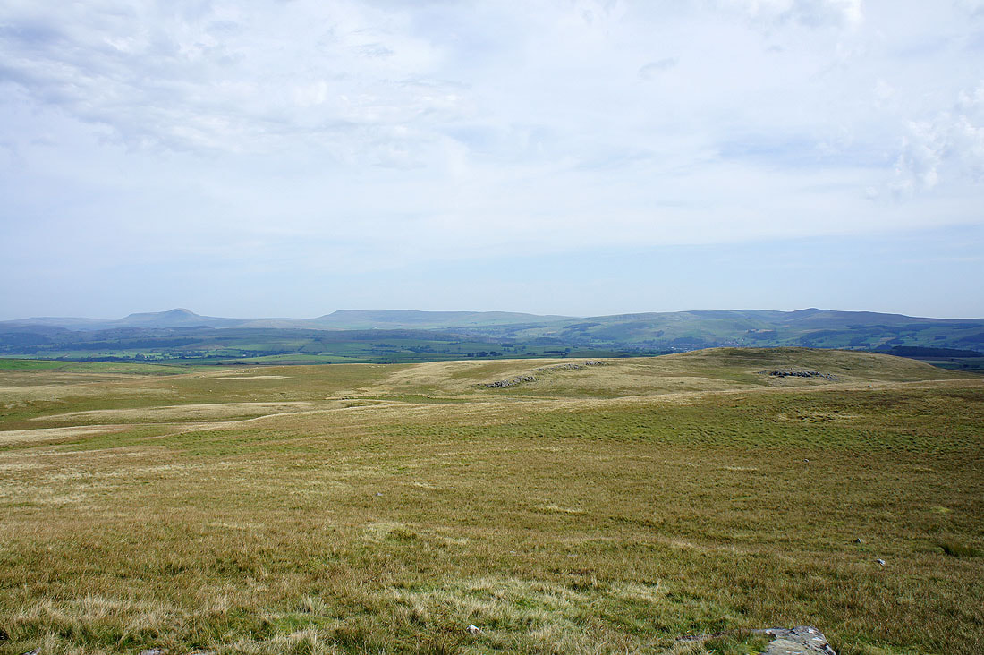
Ingleborough, Penyghent and Fountains Fell
Penyghent, Fountains Fell and Rye Loaf Hill above Settle
Pendle Hill
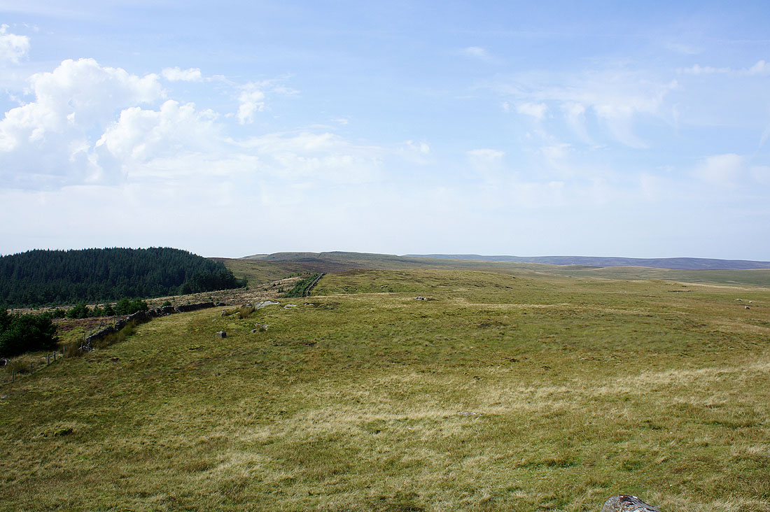
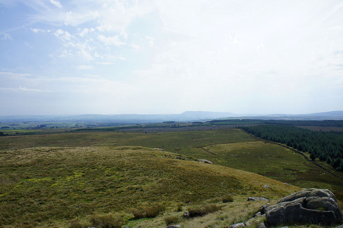
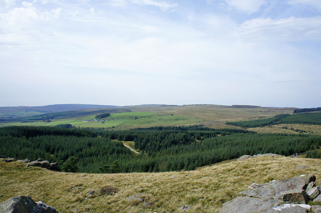
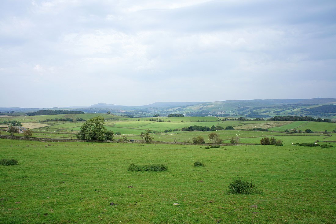
Across Gisburn Forest to the Hodder valley and the heart of Bowland
Great Harlow and Bowland Knotts
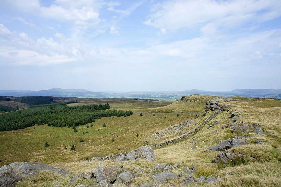
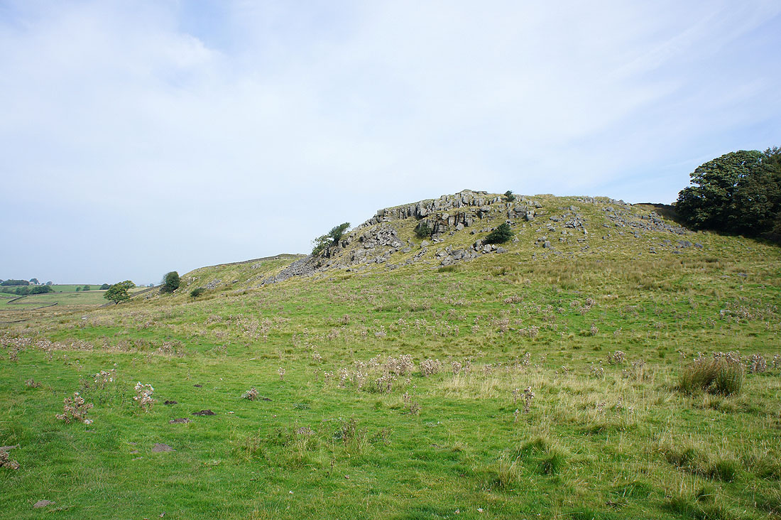
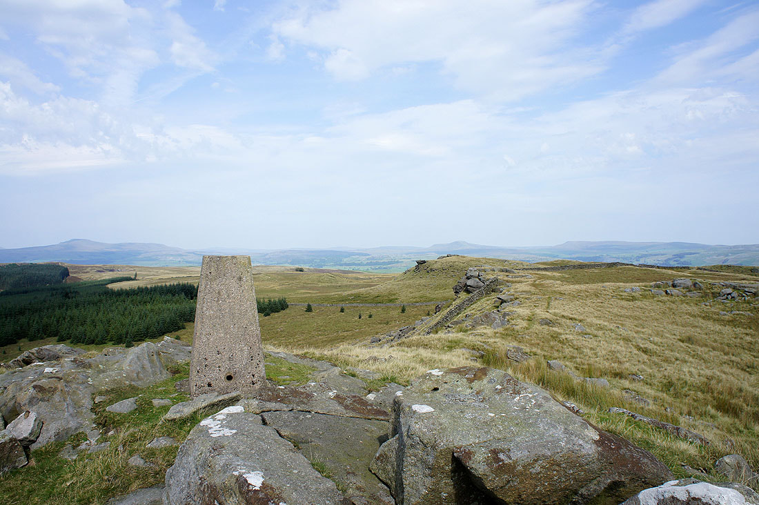
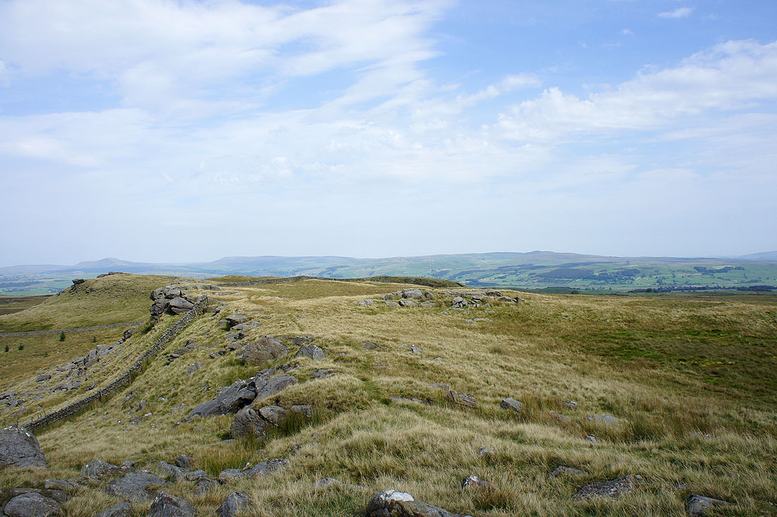
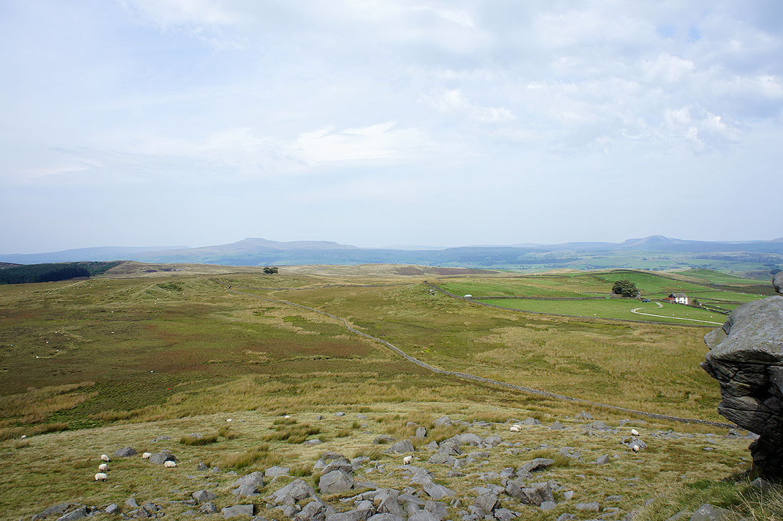
I'm going to walk along Whelp Stone Crag's rocky crest
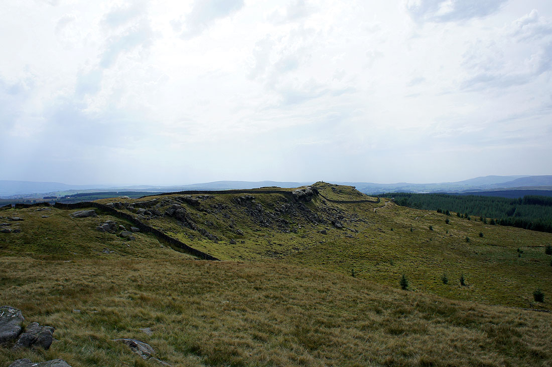
Whelp Stone Crag
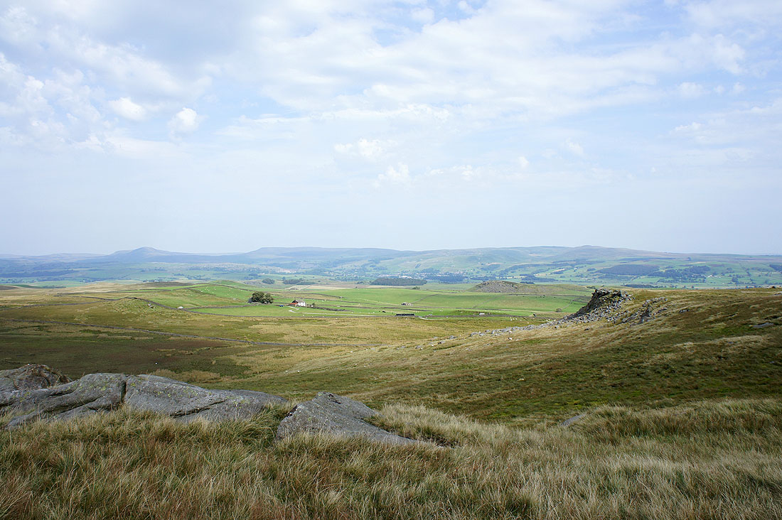
Great views across to the Craven heights as I visit the rocky tops...
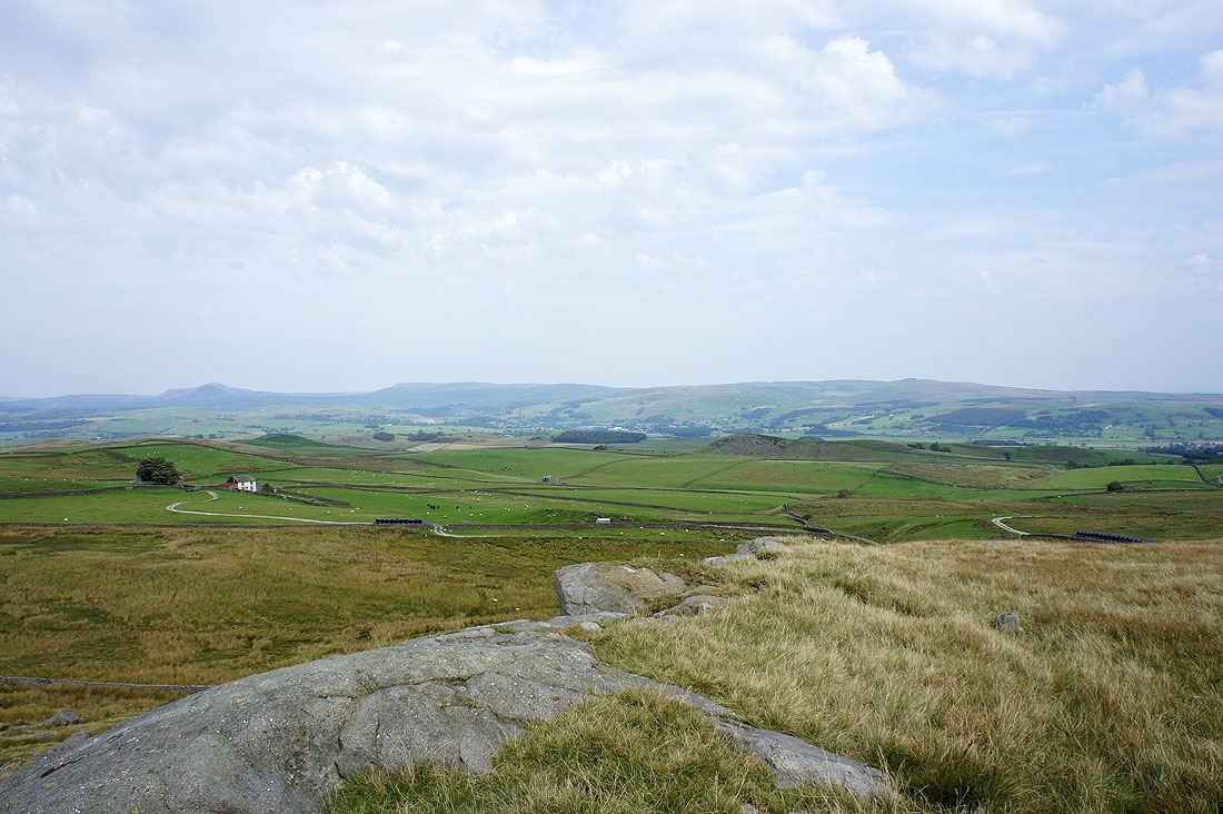
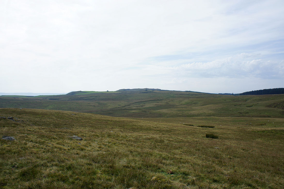
From Whelp Stone Crag I'm going to follow a path down to the disused farm of Whelpstone Lodge
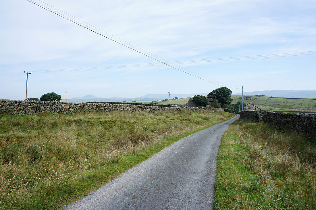
Following the lane as it crosses Hesley Beck
I left the lane at Hesley Cottage below
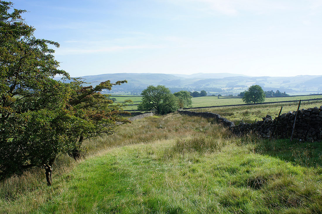
Crossing farmland
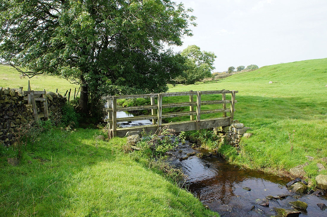
The footbridge over Rathmell Beck
Now on the green lane of Swainstead Raike
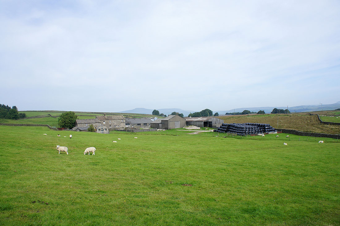
Crossing more farmland below Littlebank
The next to last field that I have to cross and I'm almost back in Dales country
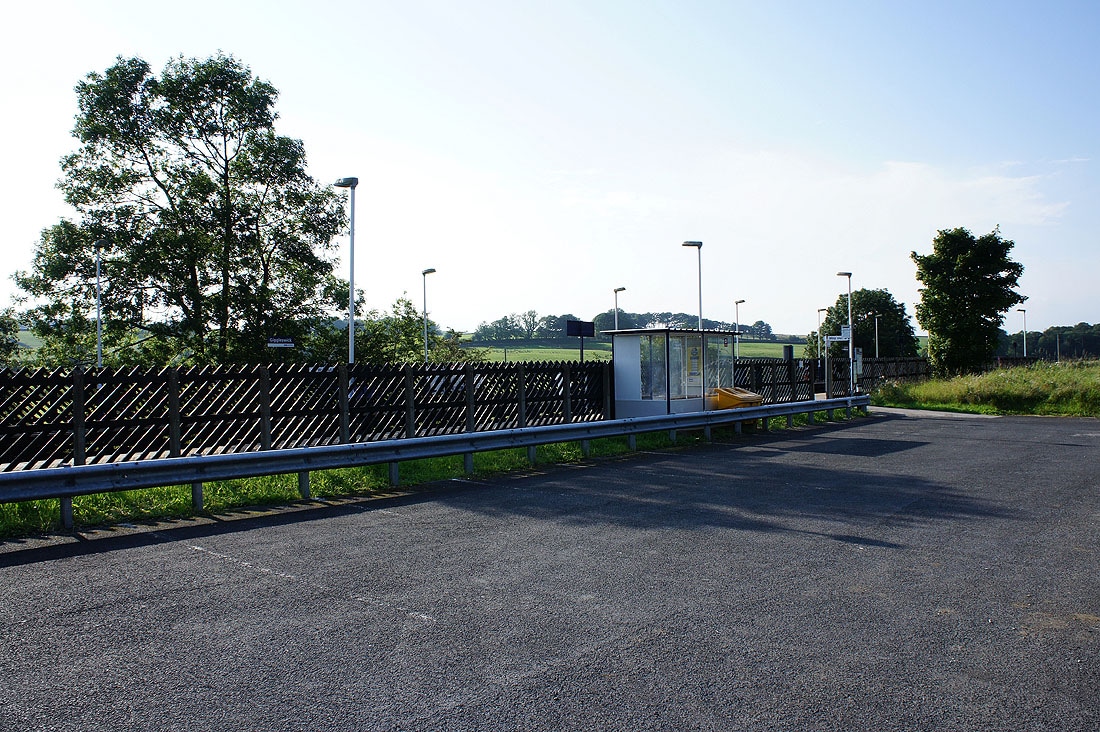
Back at Giggleswick Station