9th September 2015 - Great Crag & Grange Fell
Walk Details
Distance walked: 8.1 miles
Total ascent: 2210 ft
OS map used: OL4 - The English Lakes, Northwestern area
Time taken: 7 hrs (including a stop in Watendlath)
Route description: Rosthwaite-Cumbria Way-Lingy End-Dock Tarn-Watendlath-Puddingstone Bank-Brund Fell-King's How-Cummacatta Wood-Grange-Cumbria Way-Rosthwaite
It's Wednesday and there's been a change in the weather. As forecast it's clouded over during the night, the wind has picked up, especially on the high fells and it's pretty hazy. The walk I did today was one that I had planned for such weather. It did brighten up a little during the afternoon but any sunshine was fleeting, which was a shame given the amount of heather in bloom, especially around Dock Tarn. While in Watendlath I decided to take advantage of the cafe and I ended up having quite a lengthy break.
From the car park in Rosthwaite I crossed the main road and made my way up the lane towards the Hazel Bank hotel. I then made my way south along the Cumbria Way towards Stonethwaite before taking the path up through the woodland by Willygrass Gill to Lingy End. I kept on this path until just past Dock Tarn where I left it to head for the summit of Great Crag. After taking in the views I returned to the footpath and made my way down to Watendlath. From Watendlath I took the bridleway to Puddingstone Bank and when I reached its top I turned right and did the short climb to Brund Fell, the summit of Grange Fell. Next stop was King's How, after which there was a steep descent through the woodland to the north of the summit and onto the bridleway that brings you out to the Borrowdale Road at Cummacatta Wood. There was then a brief walk north along the verge and into Grange, where after crossing the bridge I turned left and followed the bridleway back to Rosthwaite.
Route map
© Crown copyright. All rights reserved. License number PU 100034184.
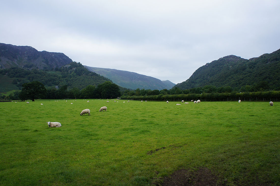
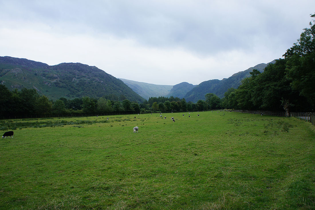
No sunny start in Rosthwaite this morning. It's cool and grey, though it is forecast to brighten up later.
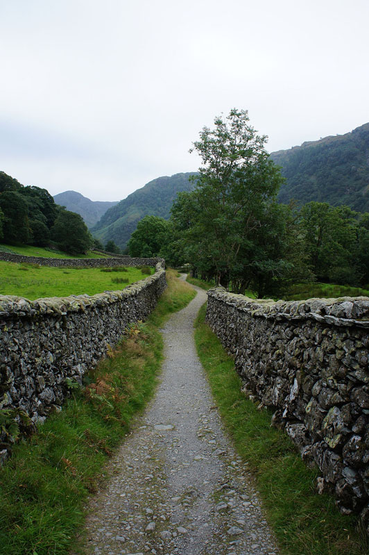
On the bridleway to Stonethwaite
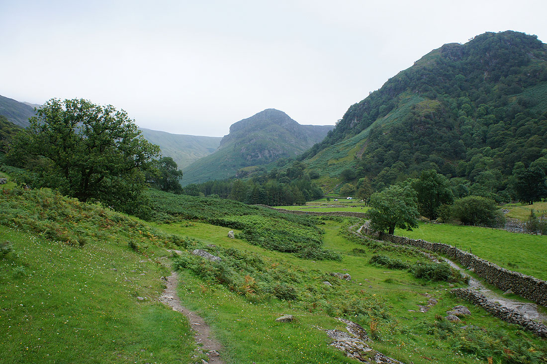
The imposing Eagle Crag as I leave the bridleway to Grasmere behind for the path up Lingy End to Dock Tarn
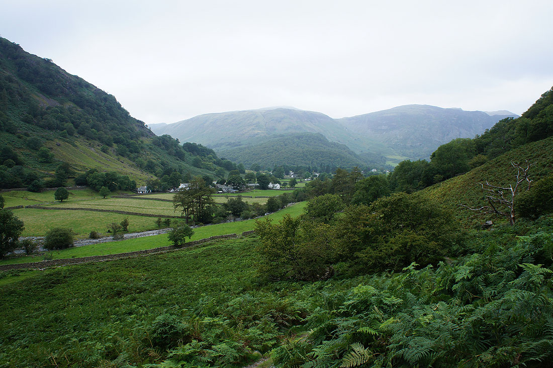
Looking across to Stonethwaite and the fellside of High Scawdel
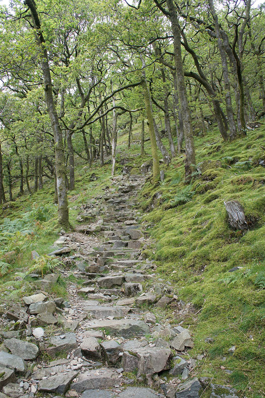
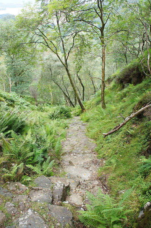
Up the steep pitched path
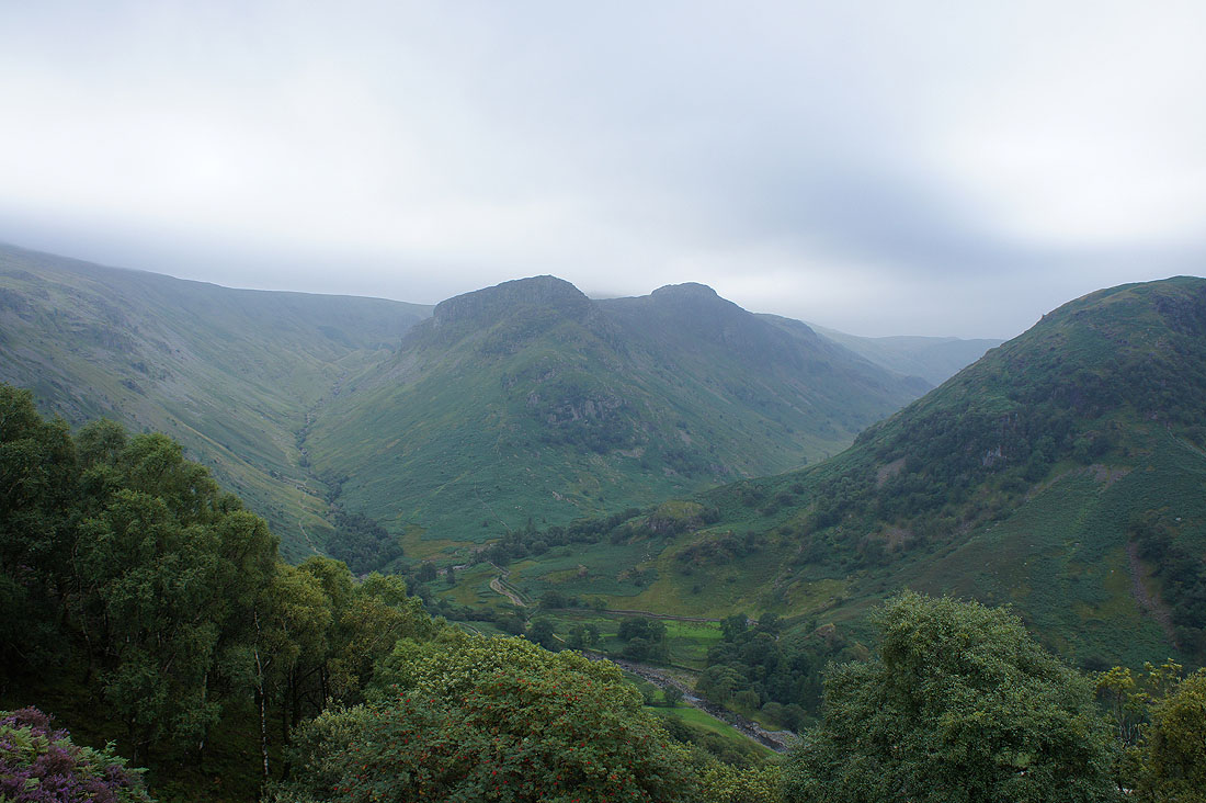
Eagle Crag and Sergeant's Crag as I reach Lingy End
Looking across Borrowdale to Grey Knotts, Honister Crag and Dale Head. It seems to be brightening up a bit.
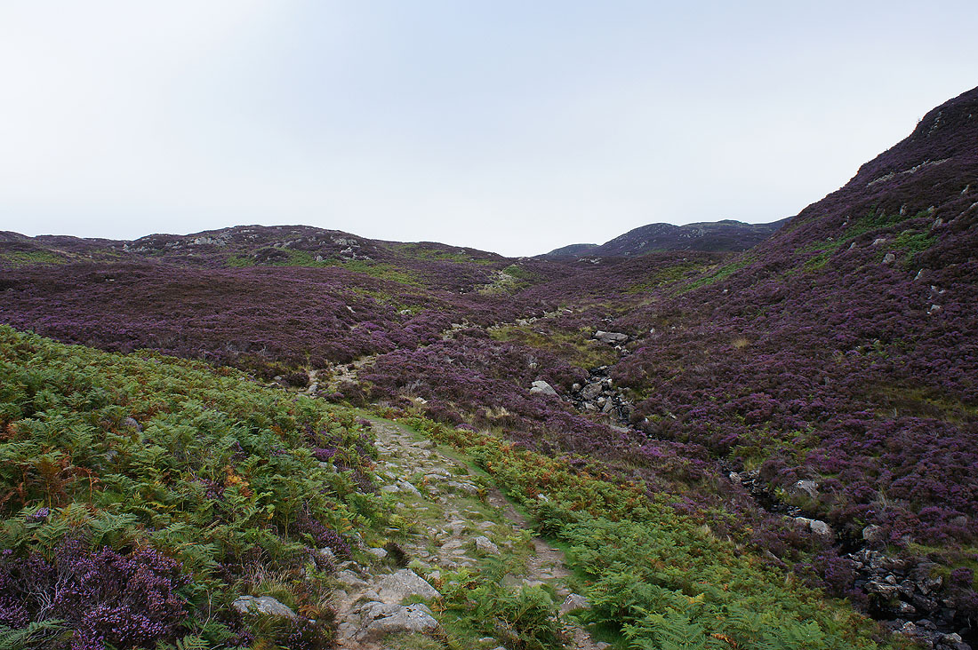
Through the heather..
..to Dock Tarn
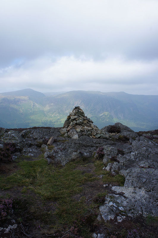
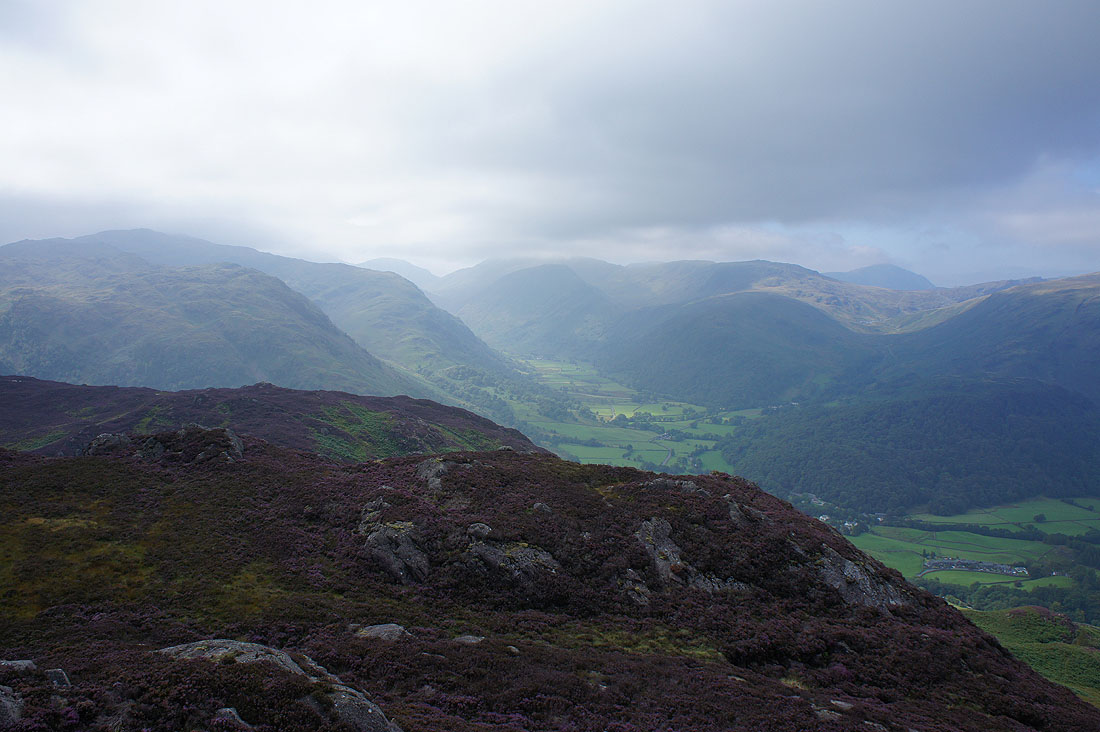
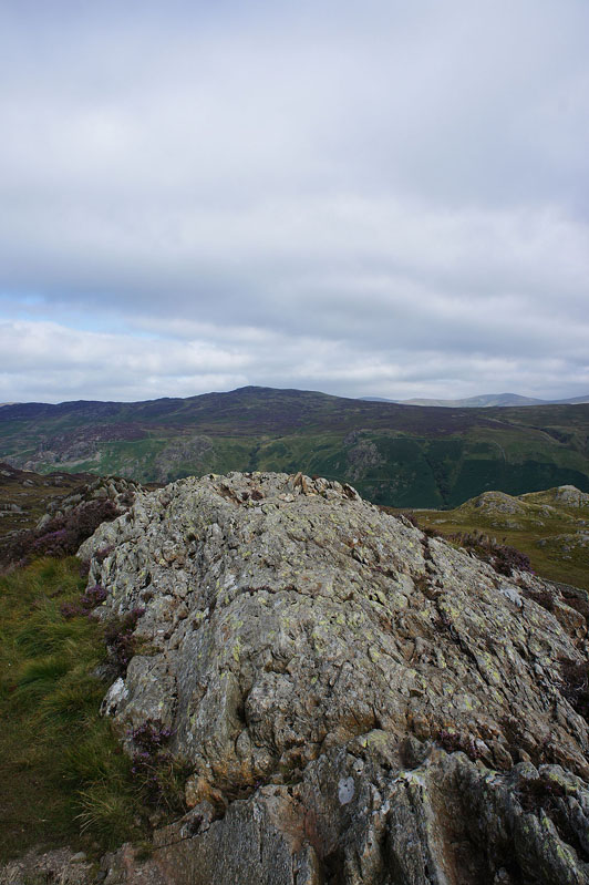
On the summit of Great Crag
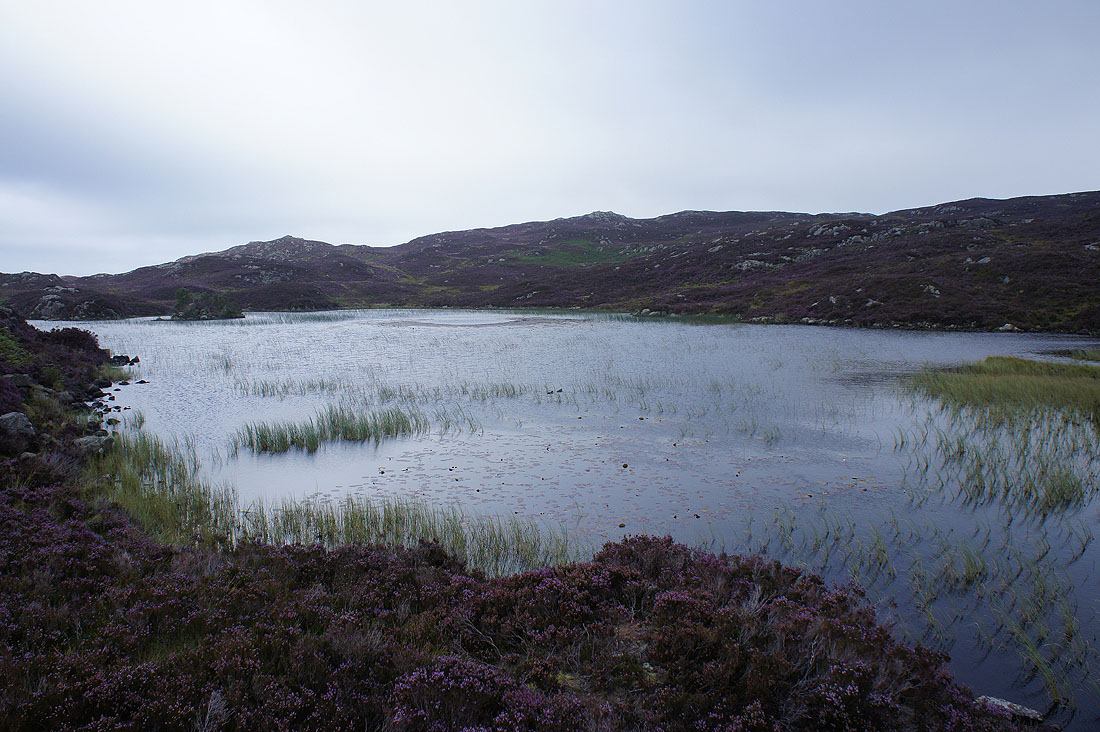
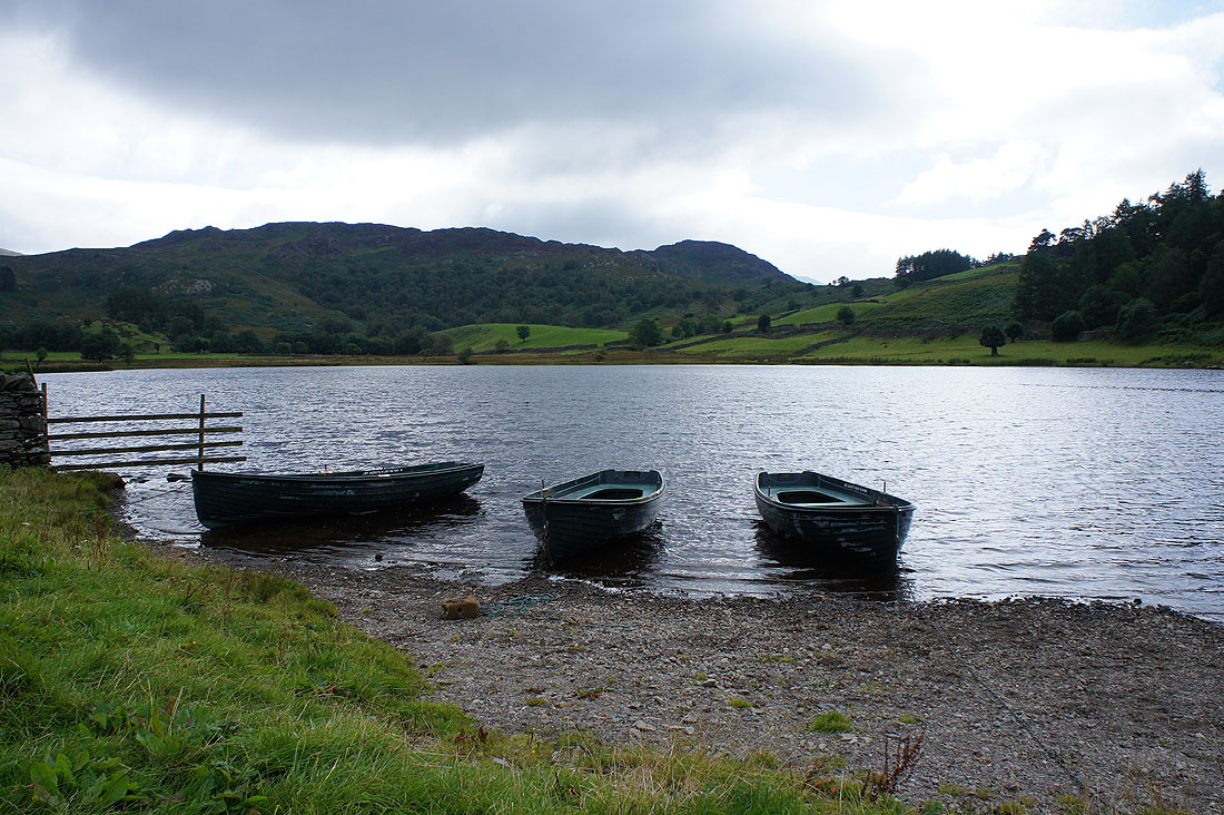
Watendlath Tarn below High Seat
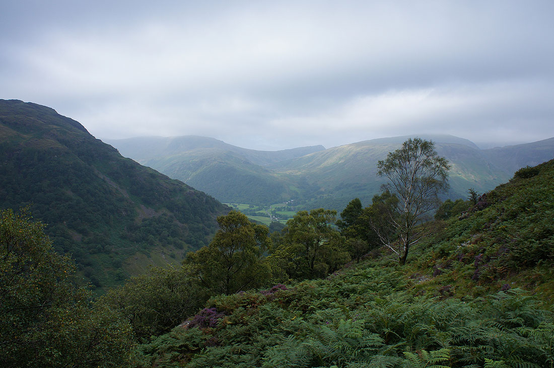
More in the way of sunshine on the fells surrounding the Seathwaite branch of Borrowdale
Brightness on the fells to the north of Helvellyn
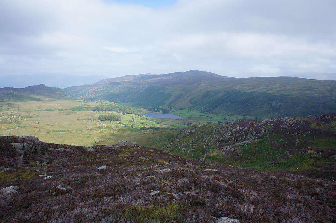
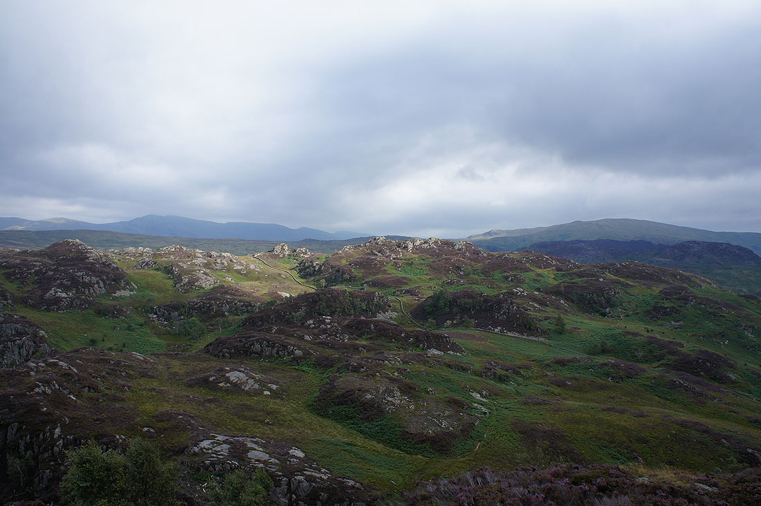
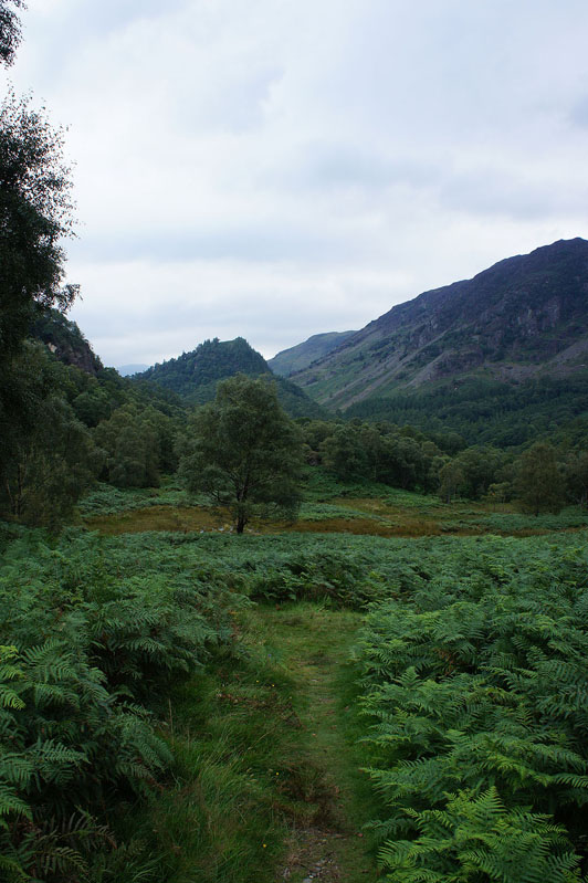
The undulating terrain of Grange Fell to the north, which is where I'll be going after paying Watendlath a visit
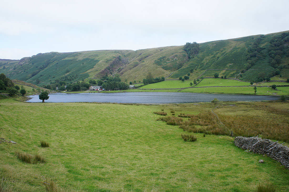
Approaching Watendlath and Watendlath Tarn
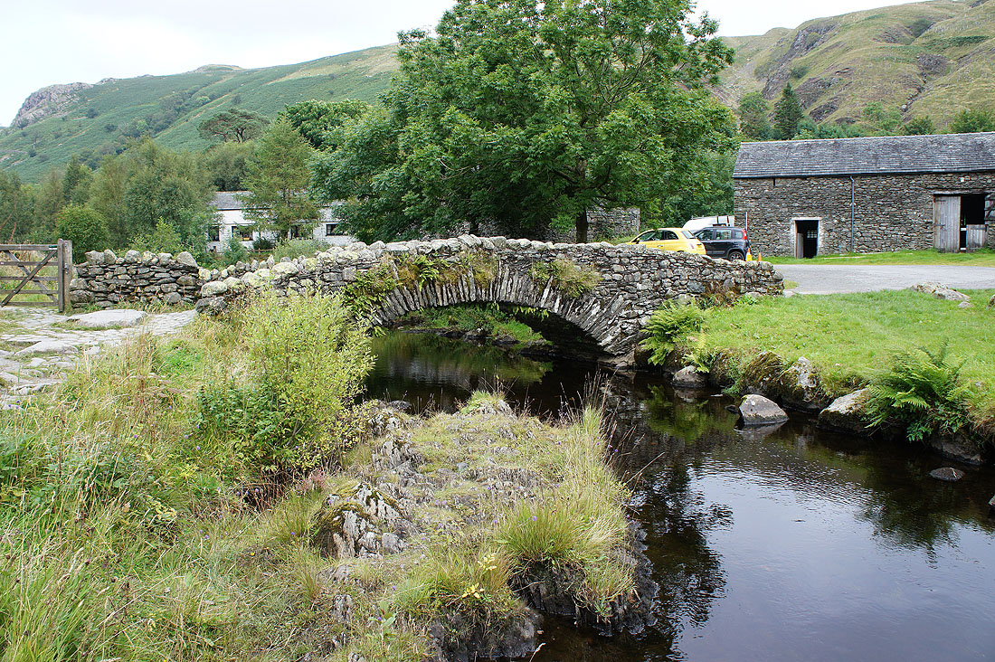
and across this lovely stone bridge into Watendlath
Back by Watendlath Tarn after a pot of tea and a slice of gingerbread cake in the cafe. Time to head for Grange Fell.
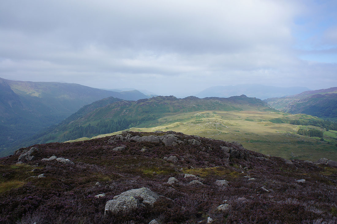
On the summit of Brund Fell, the Wainwright top of Grange Fell
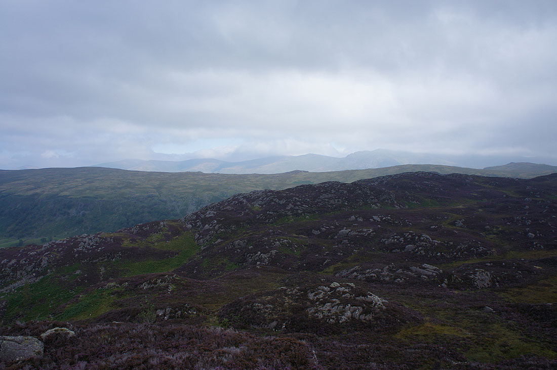
Skiddaw beyond the jumble of rock, heather and bracken that is Grange Fell
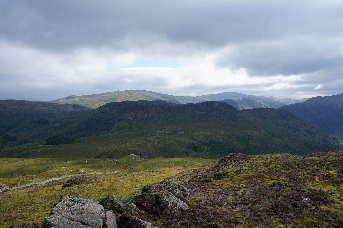
Ullscarf and High Raise beyond Great Crag
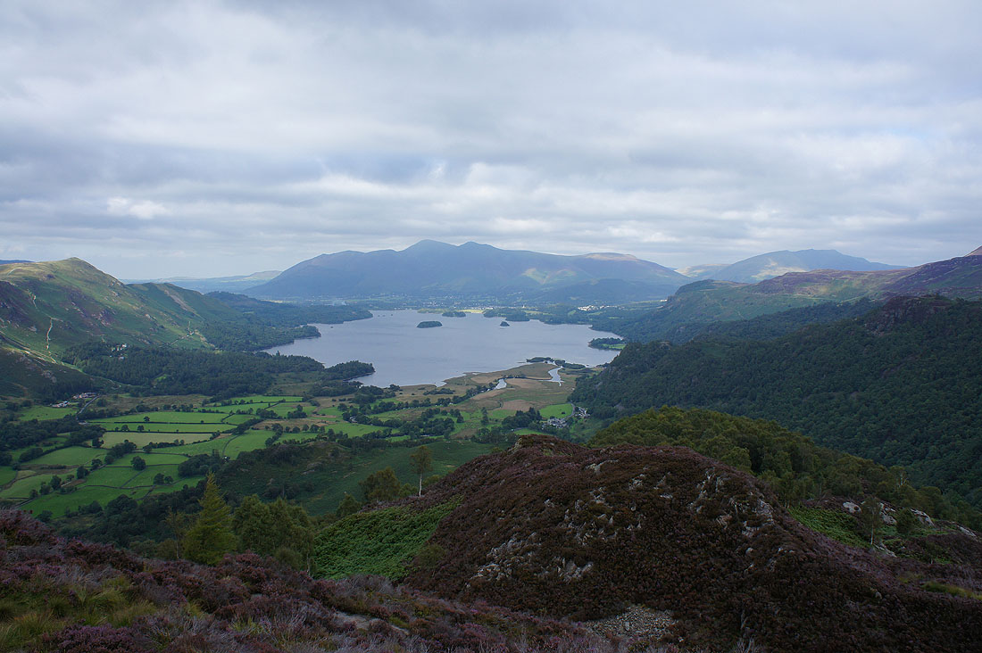
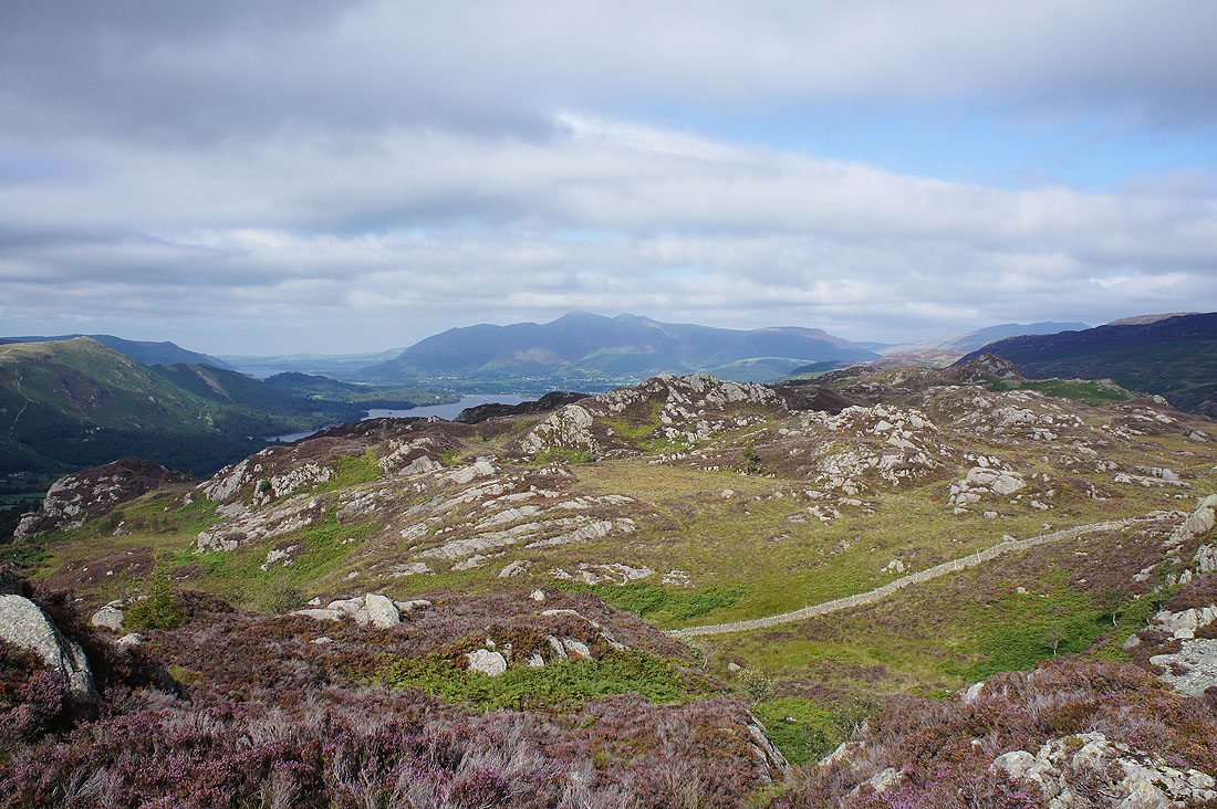
The great view of Skiddaw and Derwent Water from King's How
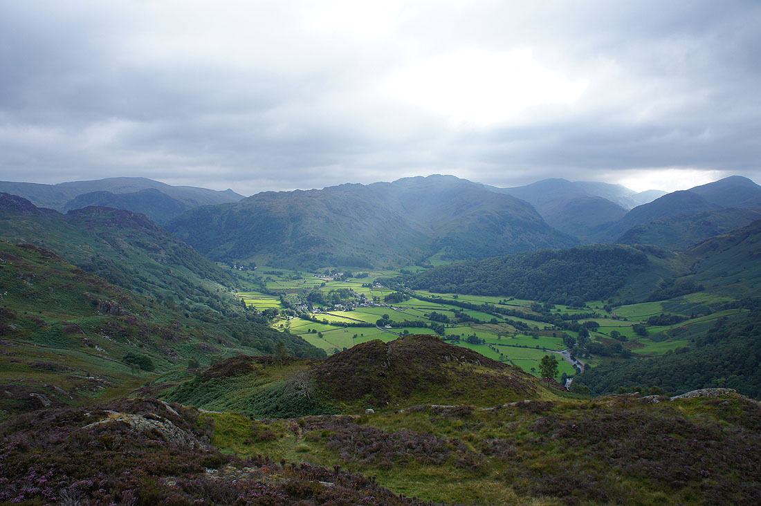
Sunshine on Rosthwaite
The summit of Brund Fell is briefly illuminated
There's a steep descent down a pitched path through the woodland to the north of King's How
Castle Crag and Goat Crag
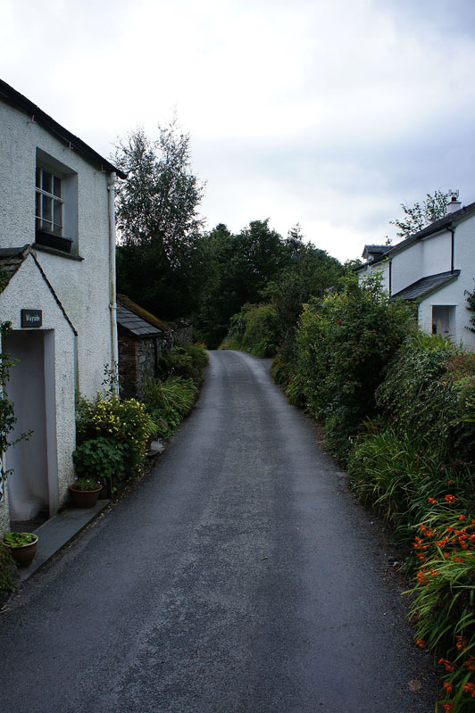
Walking through Grange after crossing the Borrowdale Road
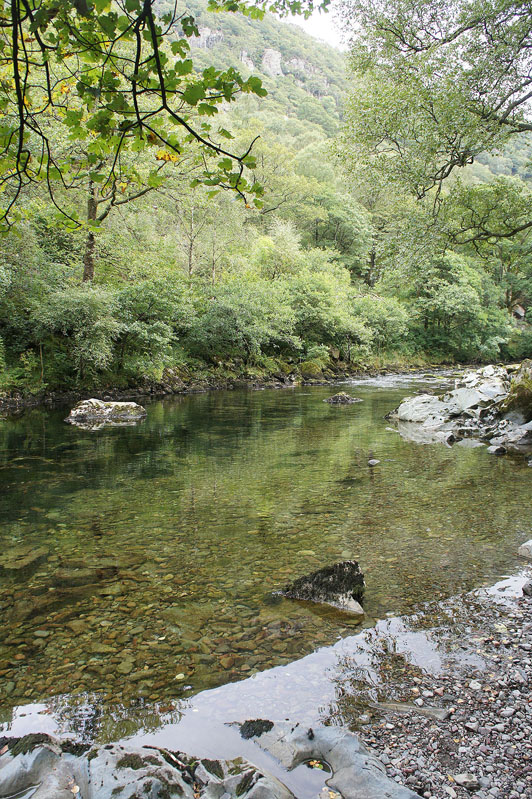
A crystal clear River Derwent
Heron Crag and Eagle Crag ahead. Not far to Rosthwaite now.
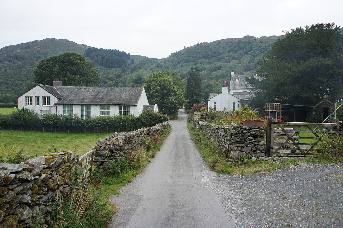
Back in Rosthwaite