9th September 2017 - Pendle Hill
Walk Details
Distance walked: 7.0 miles
Total ascent: 1266 ft
OS map used: OL41 - Forest of Bowland & Ribblesdale
Time taken: 5 hrs
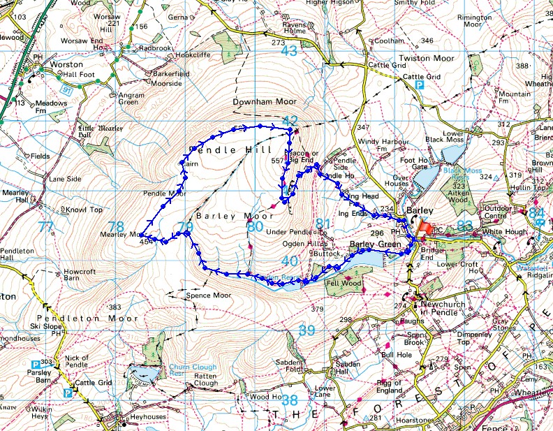
Route description: Barley-Lower Ogden Reservoir-Upper Ogden Reservoir-Ogden Clough-Mearley Moor-Worston Moor-Downham Moor-Pendle Hill-Pendle House-Pendle Way-Barley
The forecast for this weekend isn't great with tomorrow looking as though it will probably be the worst of the two days. Sunshine and showers are in the mix for today so I decided to stay local and head for Barley and Pendle Hill to do a variation of starting point and route up that I haven't done since September last year. I didn't avoid the showers, and although I wasn't counting them there were three that were heavy enough to give my waterproofs a good testing. Despite that I really enjoyed the afternoon out and the mix of blue skies and showers gave some dramatic skies for taking photos of.
From the picnic site car park in Barley I set off by taking the access road to Lower Ogden Reservoir and then up to Upper Ogden Reservoir. I then took the path up Ogden Clough and when I'd crossed over to its western side I left it to make my way across to Mearley Moor. A walk north across boggy moorland brought me to the Scout Cairn on Worston Moor and after crossing a ladder stile I was on Downham Moor and heading for the summit. Once I'd taken in the view from the trig point I briefly followed the Pendle Way south before taking the path down the east face to Pendle House, and from there I took the Pendle Way back to Barley.
Route map
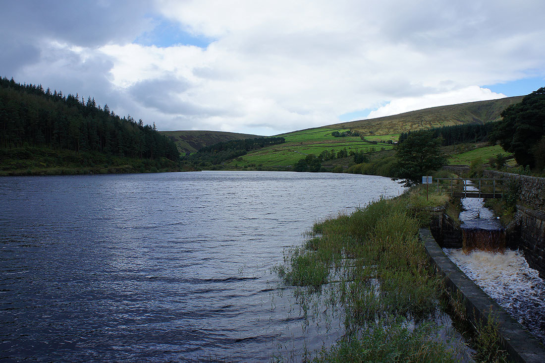
By a full Lower Ogden Reservoir
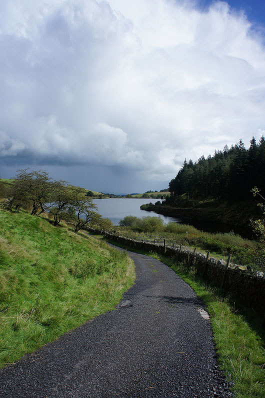
There's a big shower cloud passing by behind me if I turn around
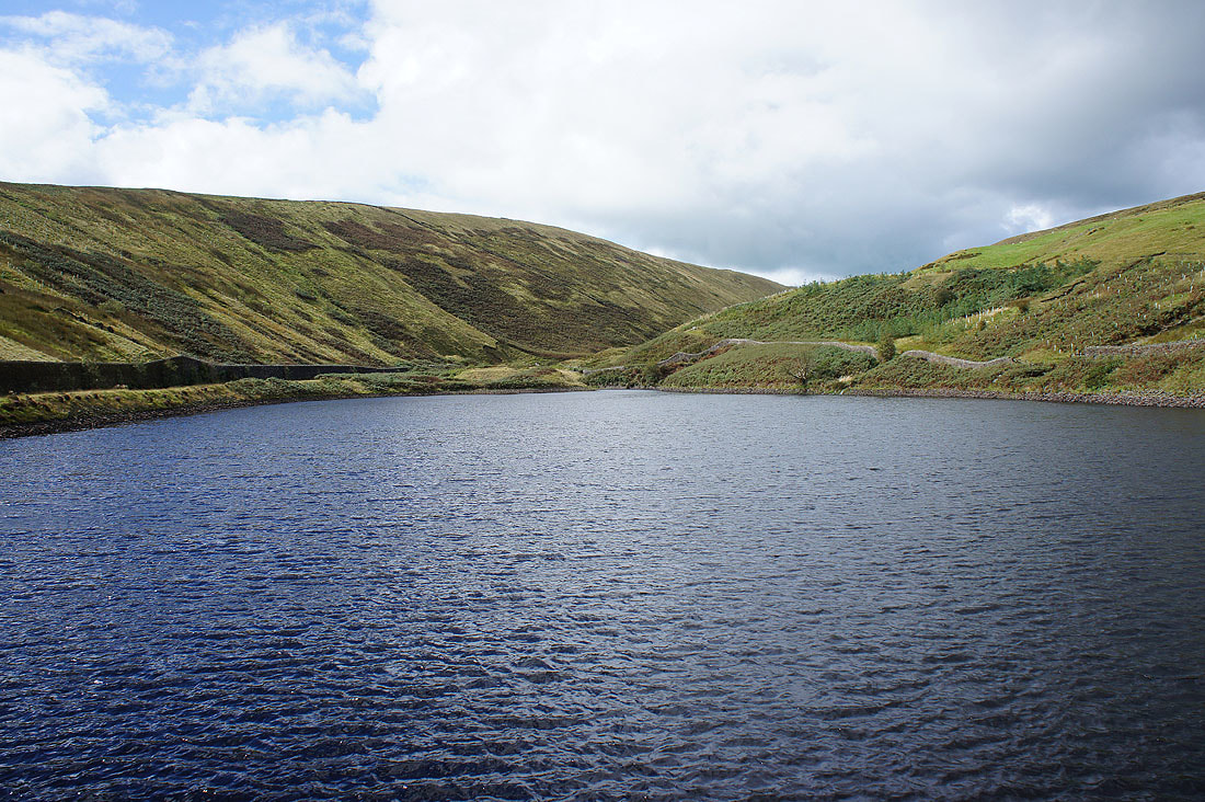
At Upper Ogden Reservoir
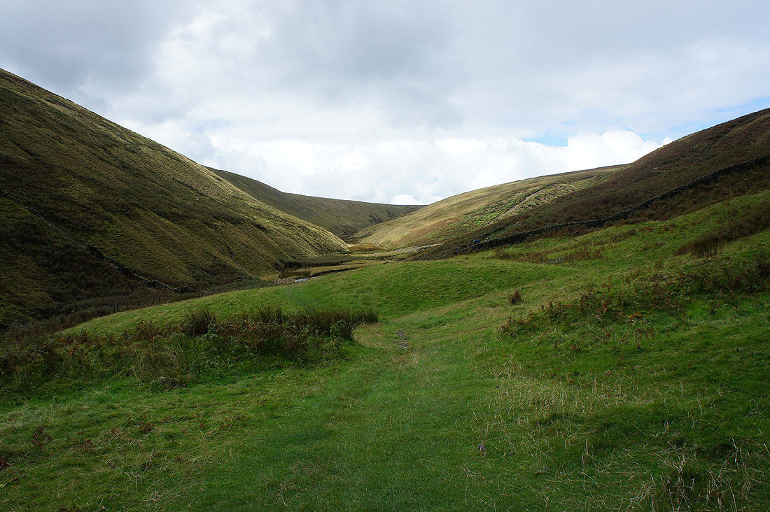
Heading up Ogden Clough
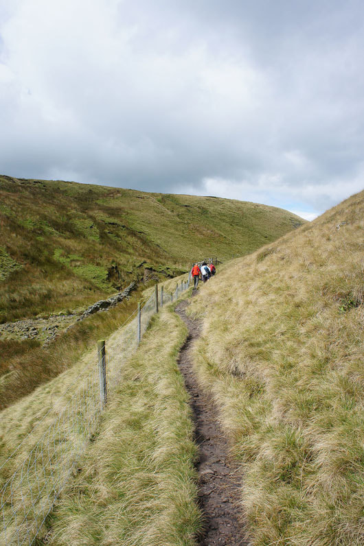
Myself and the group of walkers just ahead of me had a great deal of trouble trying to cross to the other side of the clough. We've had quite a bit of rain recently.
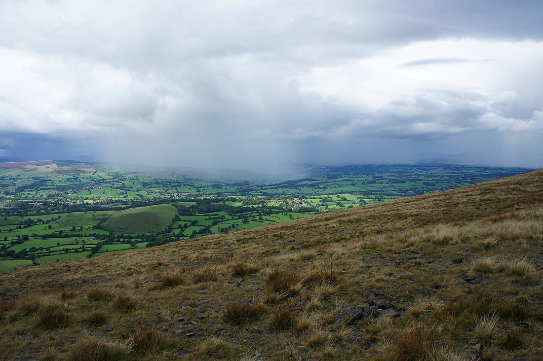
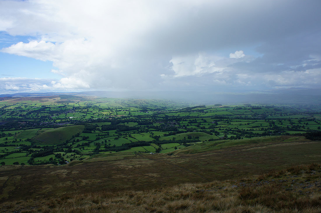
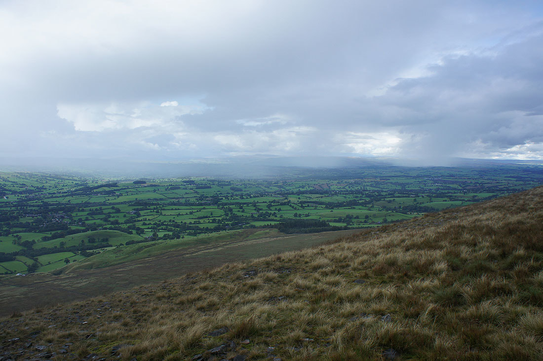
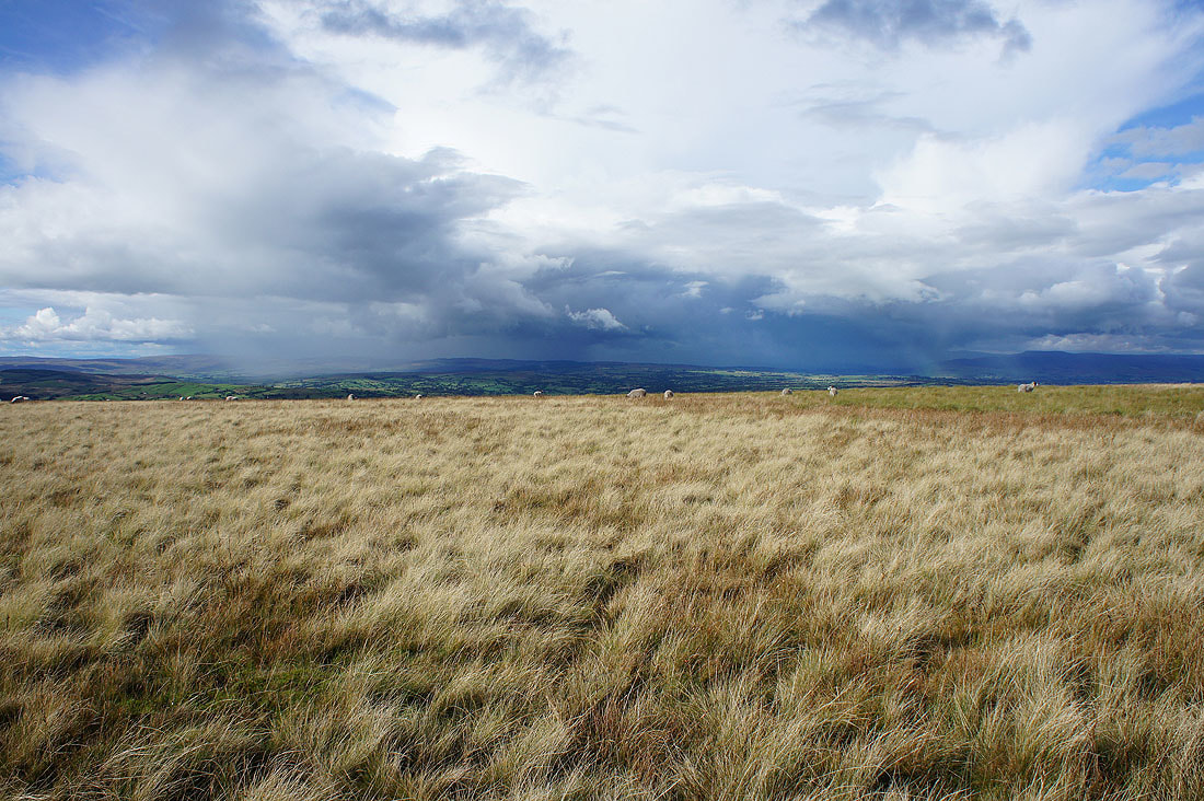
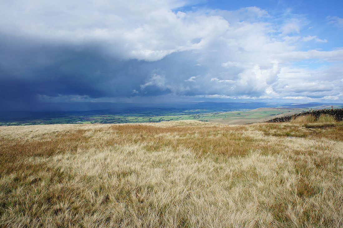
Now that I'm out of Ogden Clough I can see what sort of weather is upwind of me. There is a shower over the Ribble valley but fortunately it isn't heading this way.
Dark cloud over the summit
By the cairn at the western end of Mearley Moor and that shower passes by
The fells of the Forest of Bowland on the other side of the Ribble valley..
Heading for the Scout Cairn on Worston Moor
Sunshine on Spence Moor
At the Scout Cairn with Mearley Moor in the background on the right
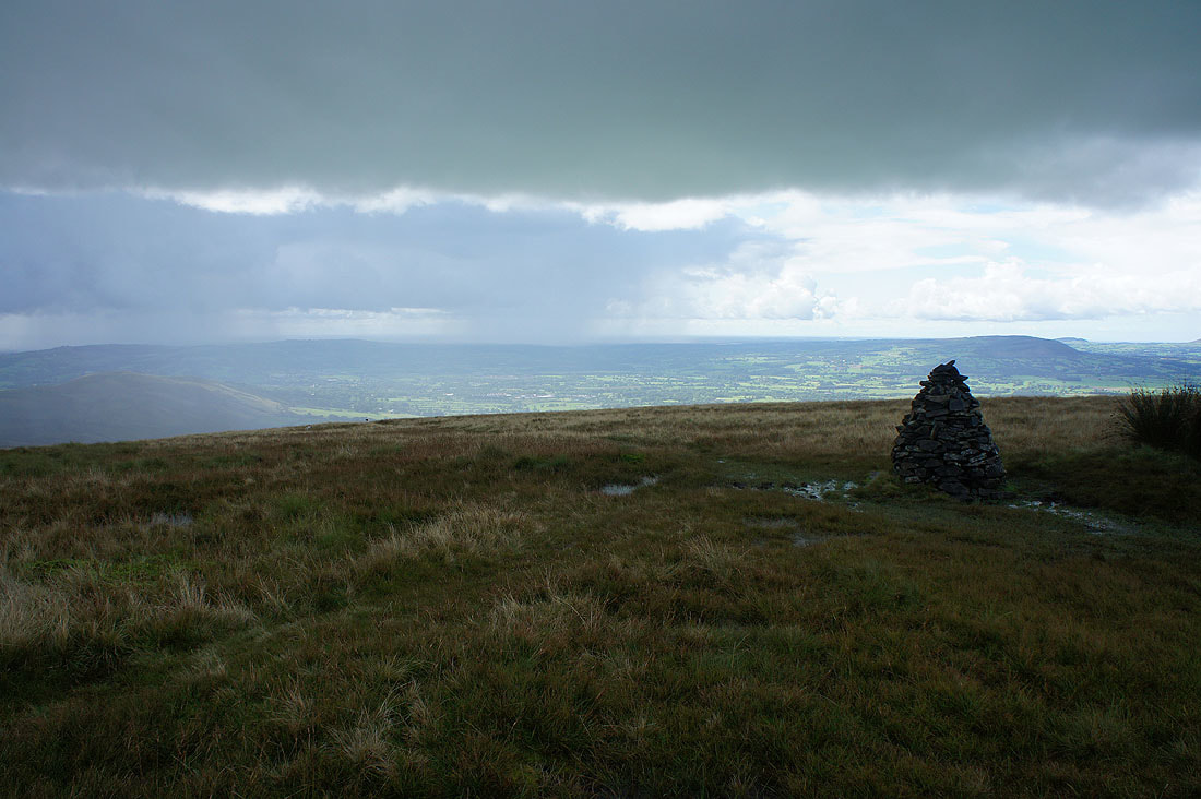
As I look across the Ribble valley I don't need to be Einstein to realise that there's no dodging the next shower that's on its way. I stood behind the cairn to shelter from the worst of it.
Twenty minutes later and the worst has cleared through but there's more to come. It doesn't look too heavy though as I can see through the rain, so I decided to get moving while the going was good.
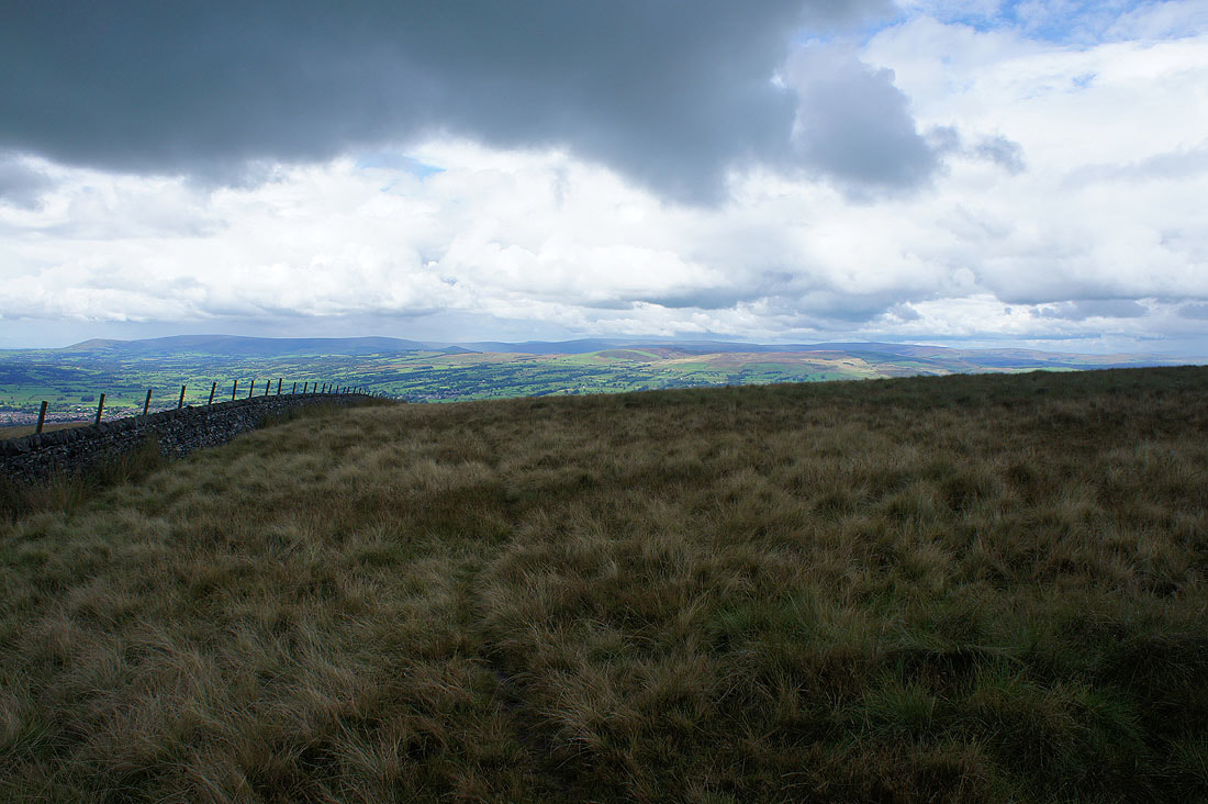
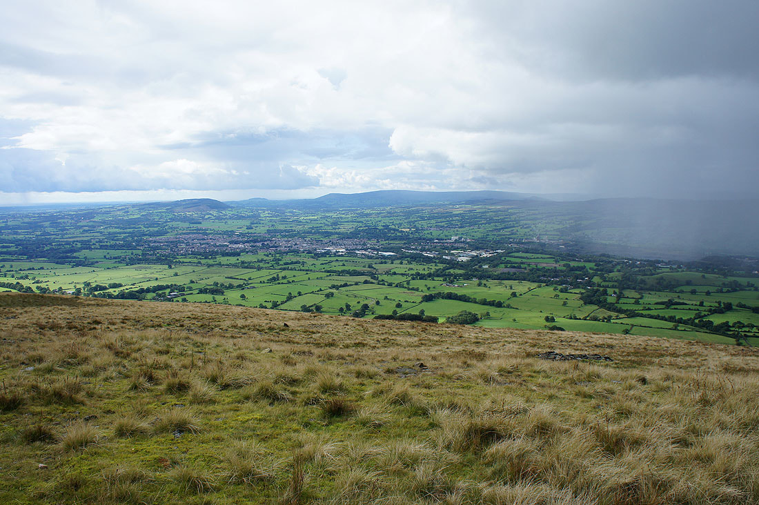
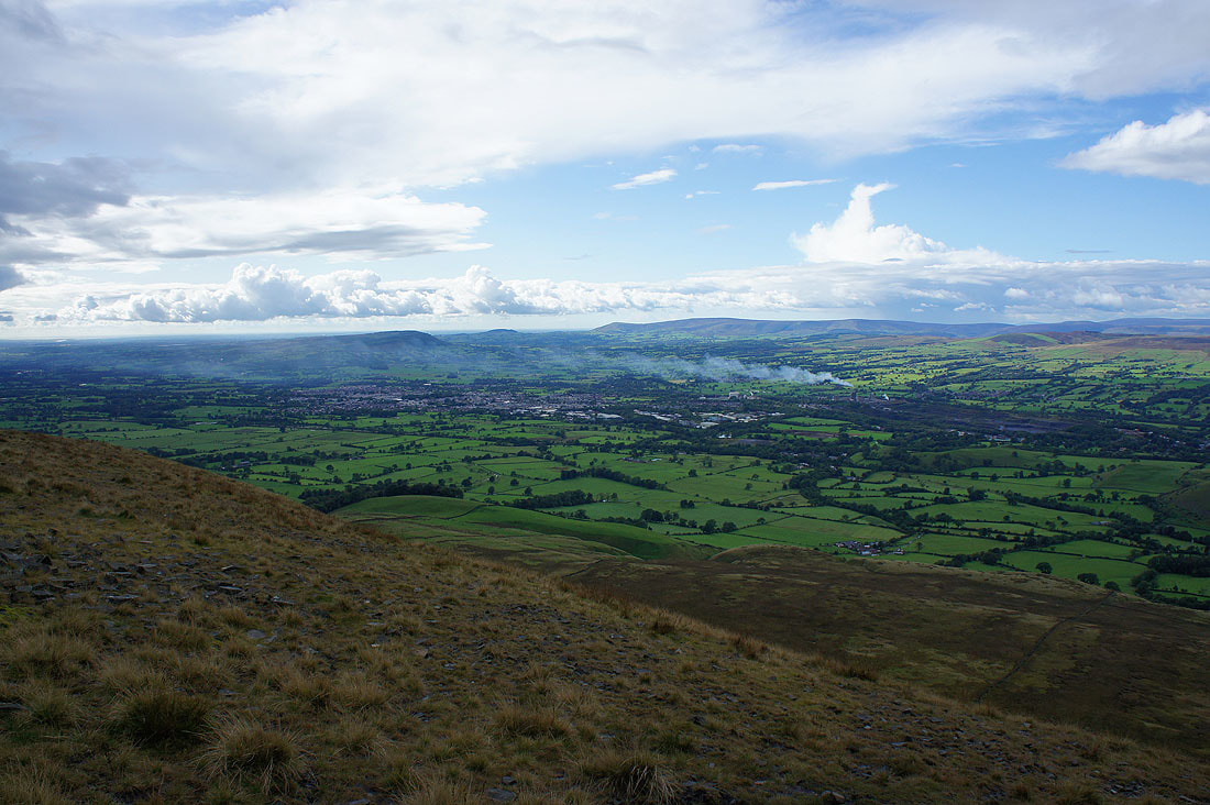
Looking across Clitheroe and the Ribble valley to Longridge Fell, Parlick, Fair Snape Fell and Totridge, with clear skies on the coast
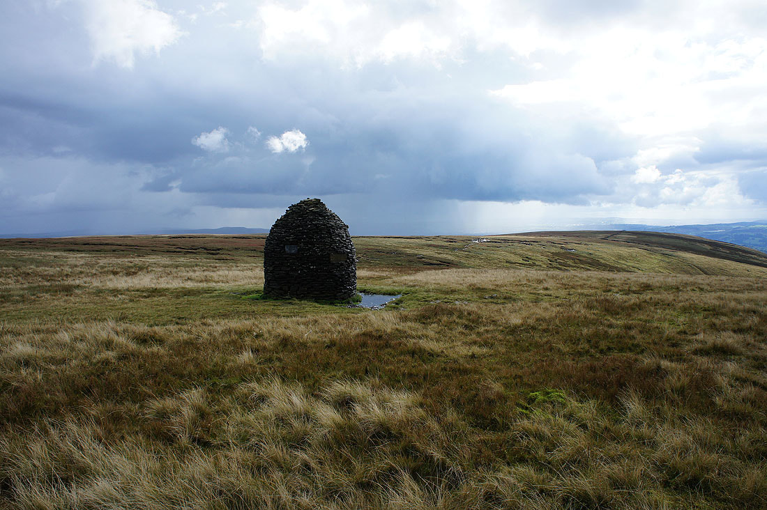
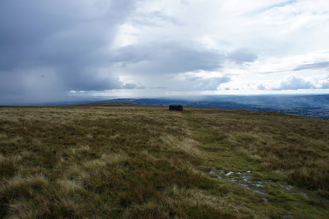
Looking back across Worston Moor to the Scout Cairn and the circular shelter
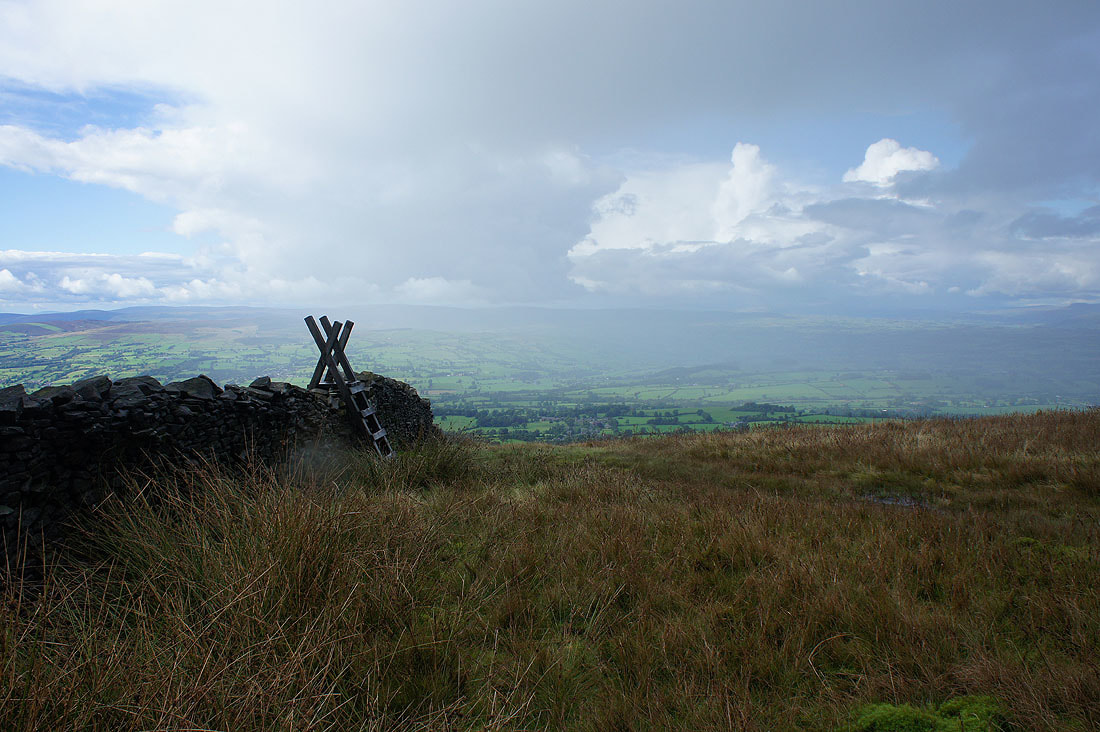
It's raining again as I cross the stile onto Downham Moor
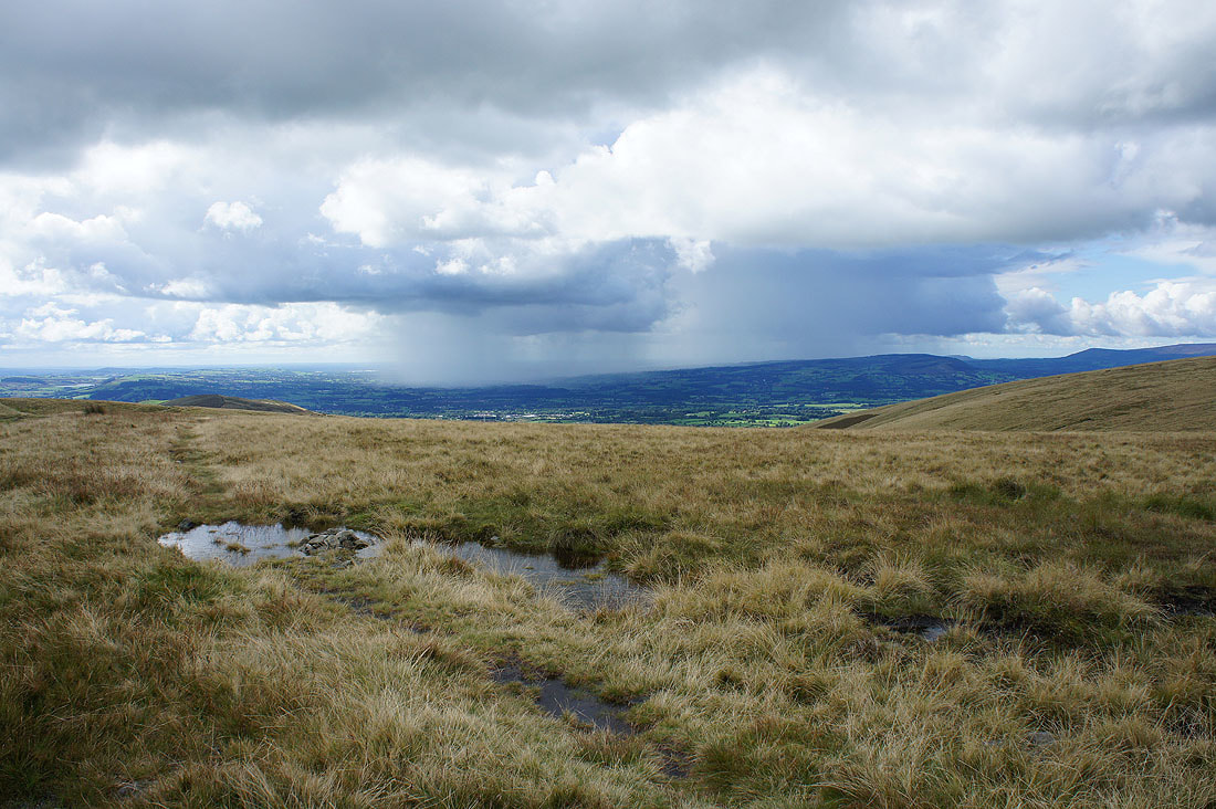
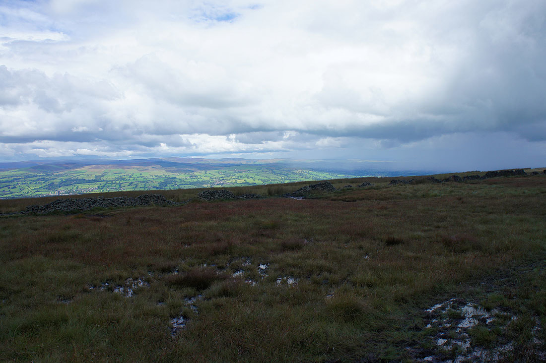
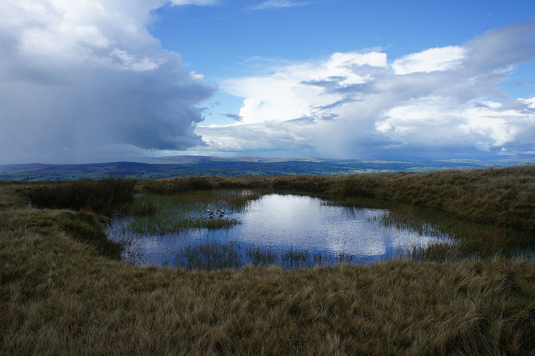
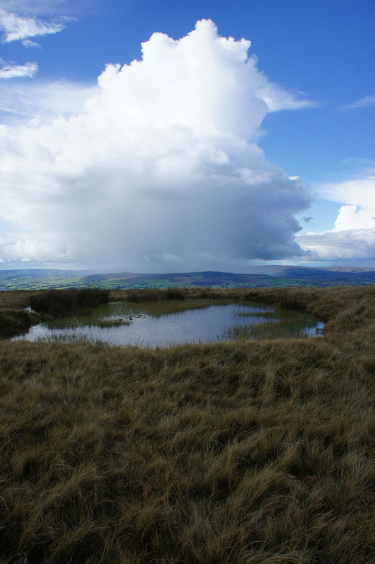
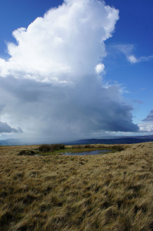
It doesn't last for long though and as it clears and the sun comes out I'm treated to dramatic views from beside this pool with the mixture of blue skies and shower clouds...
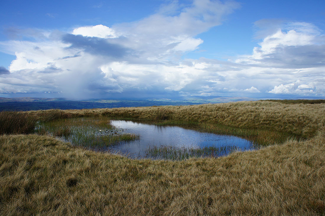
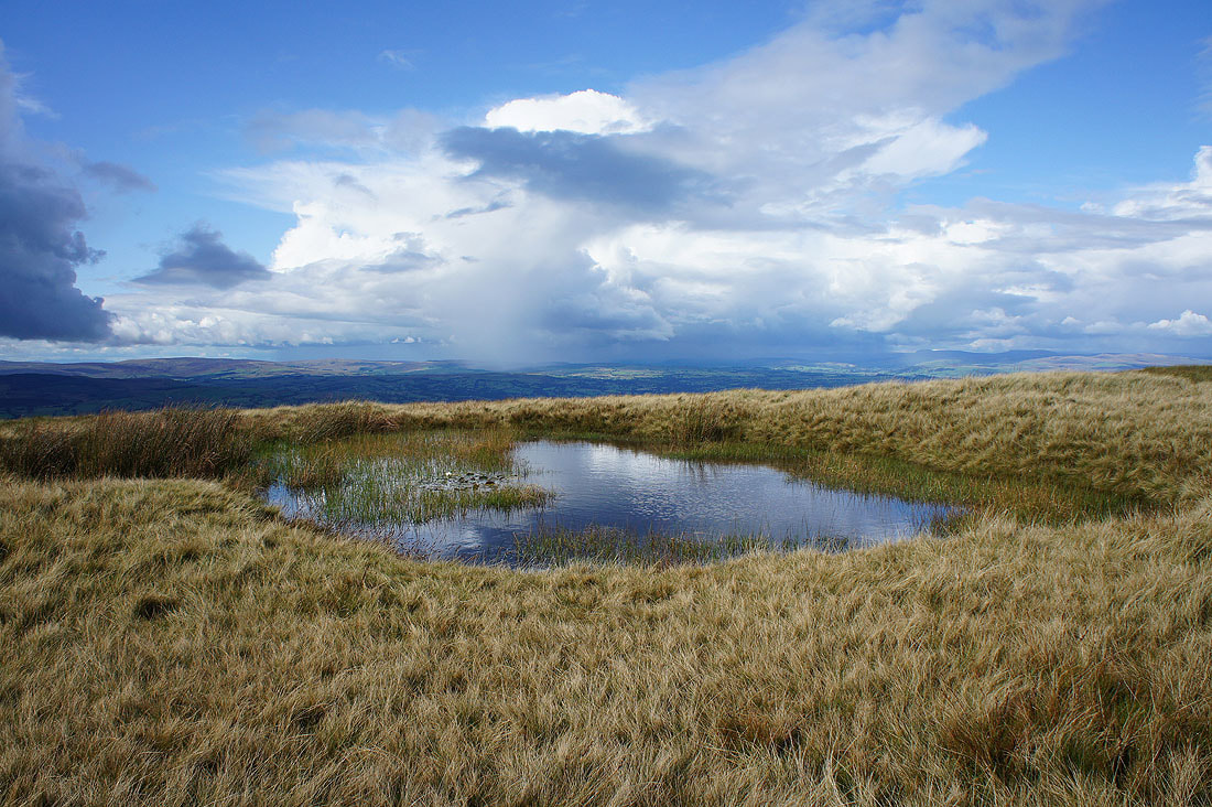
Two photos of the same cloud taken just six minutes apart. This one missed me.
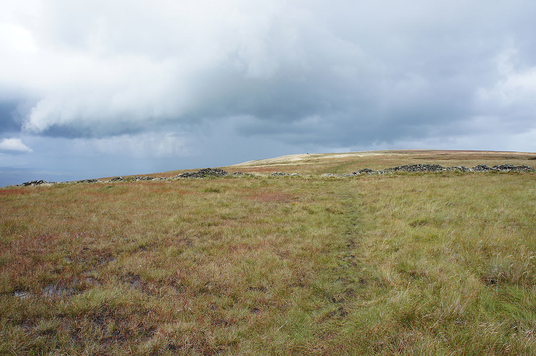
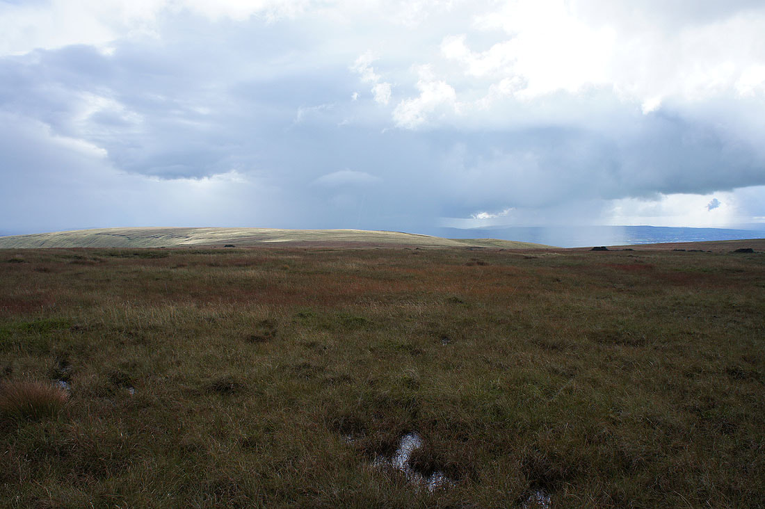
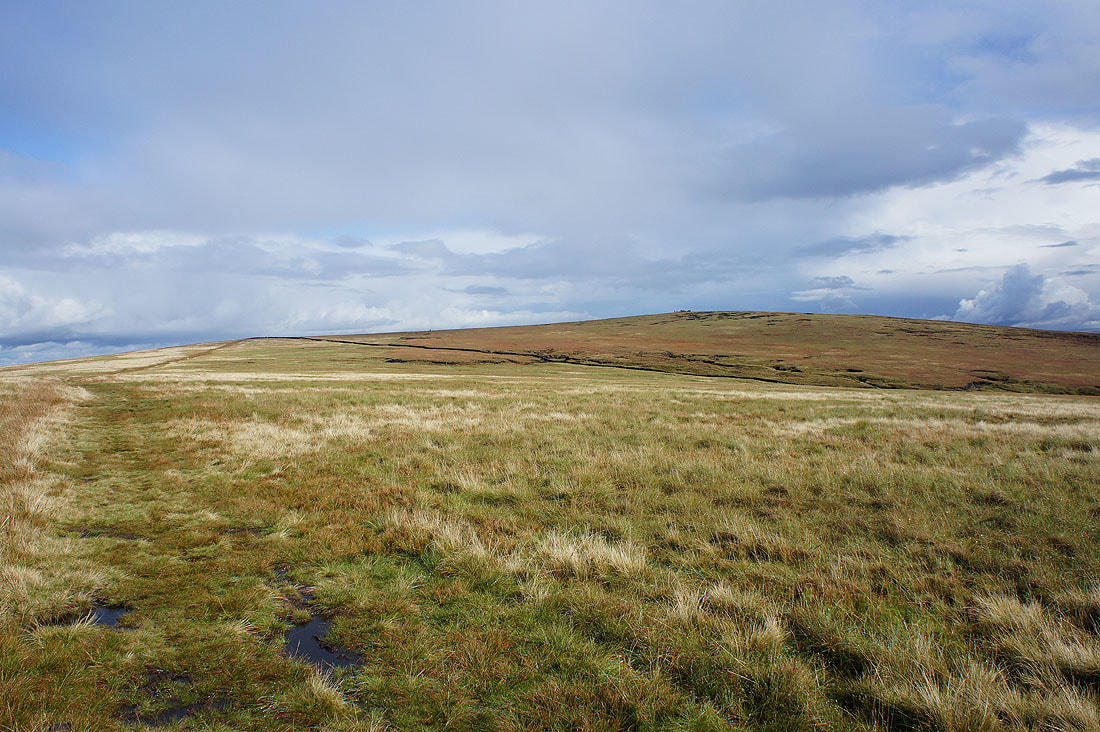
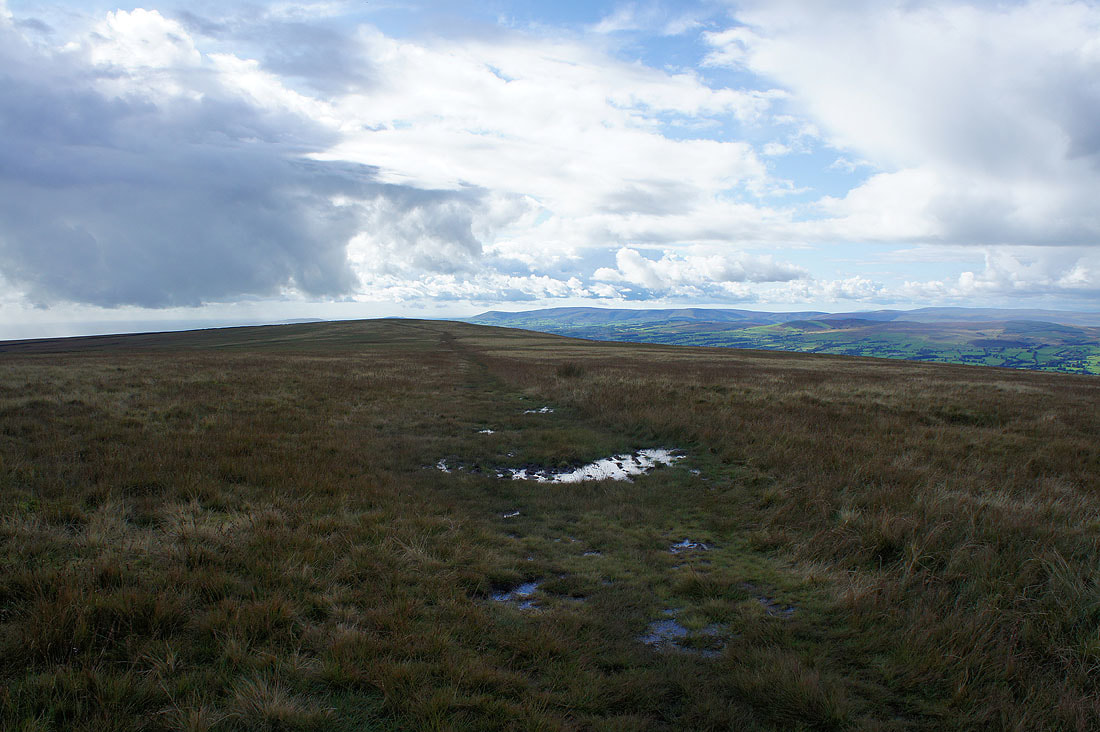
Heading across Downham Moor to the summit
The fells around Wharfedale in the Yorkshire Dales in the distance
This is my favourite photo of the day and I'm looking towards Ingleborough and Penyghent in the Yorkshire Dales. Unfortunately the shower that's stopping me from seeing them is heading this way.
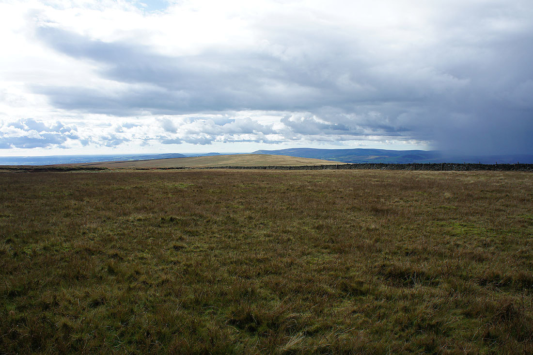
Looking back across Downham Moor with the fells of the Forest of Bowland on the right
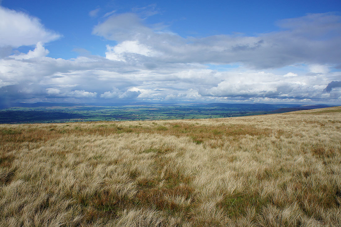
Sunshine on the Ribble valley
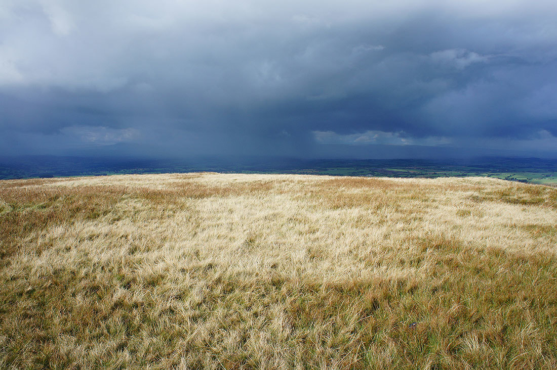
There's a real contrast between the sunlit moor where I am and the dark cloud as it gets closer..
Downham Moor as I head for the trig point
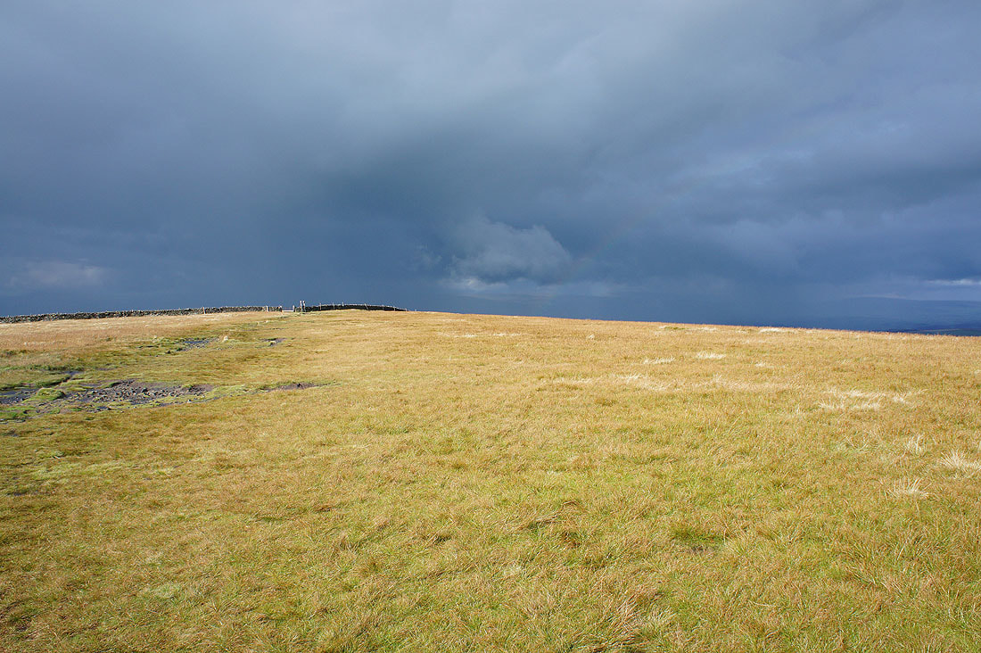
Looking back to the stile and there's a hint of a rainbow
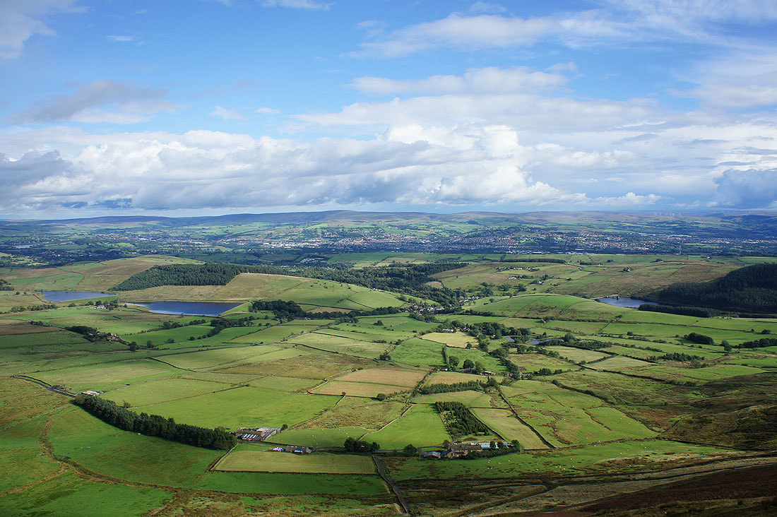
The Black Moss Reservoirs, Barley and Lower Ogden Reservoir with Boulsworth Hill in the distance
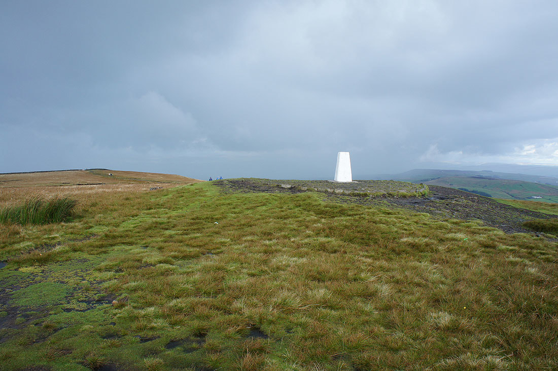
The rain has arrived as I reach the trig point
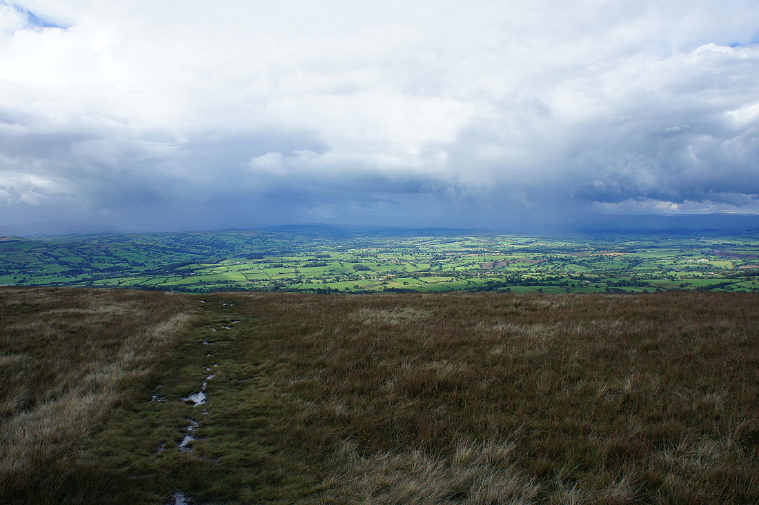
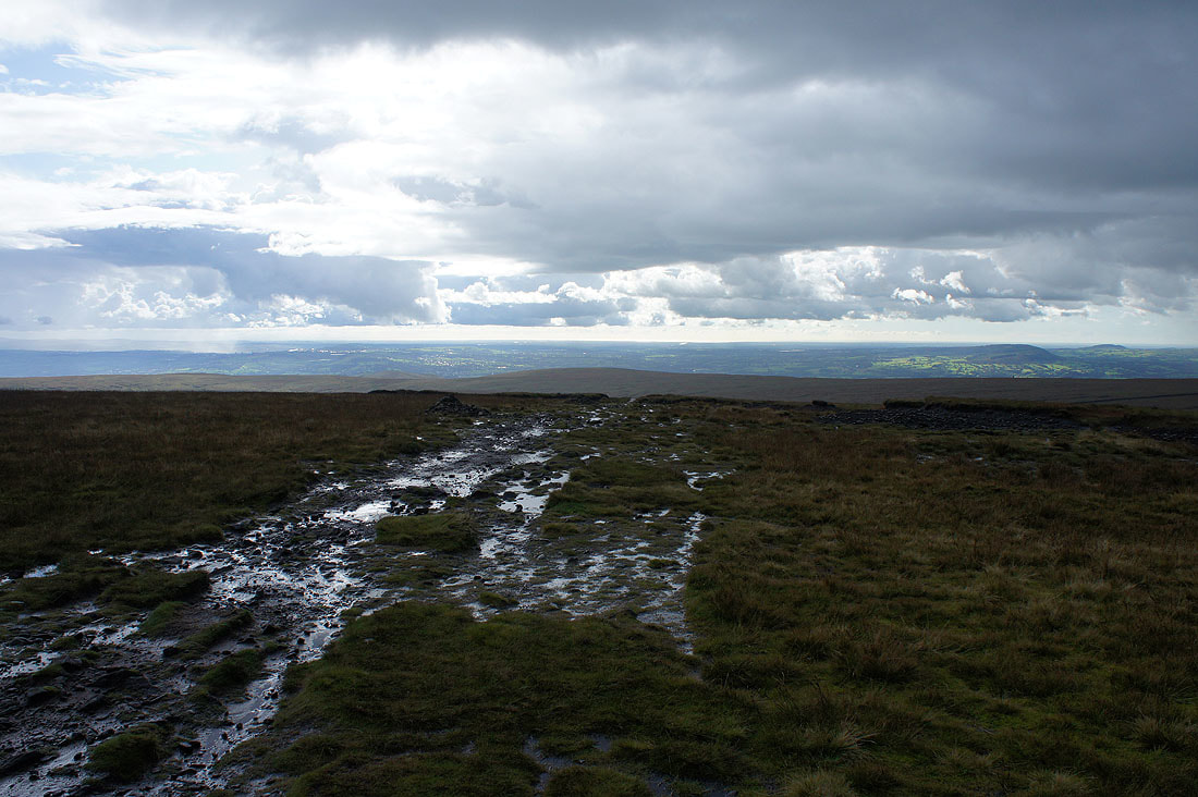
The path to Ogden Clough with the Ribble valley in the distance
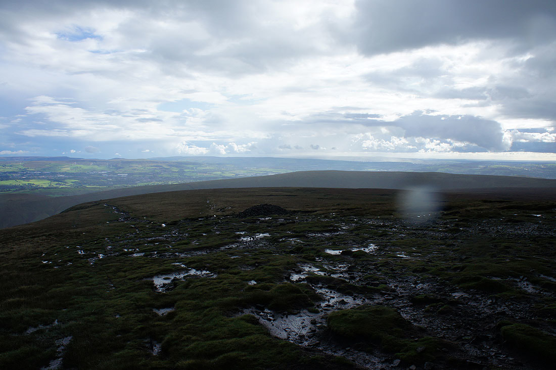
The West Pennine Moors in the distance as I head for the path down the east face. It's raining heavily.
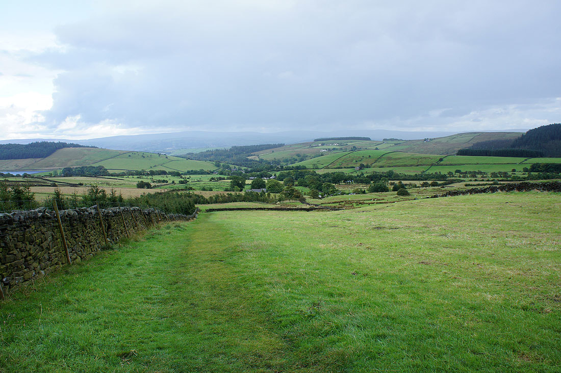
On the Pendle Way back to Barley
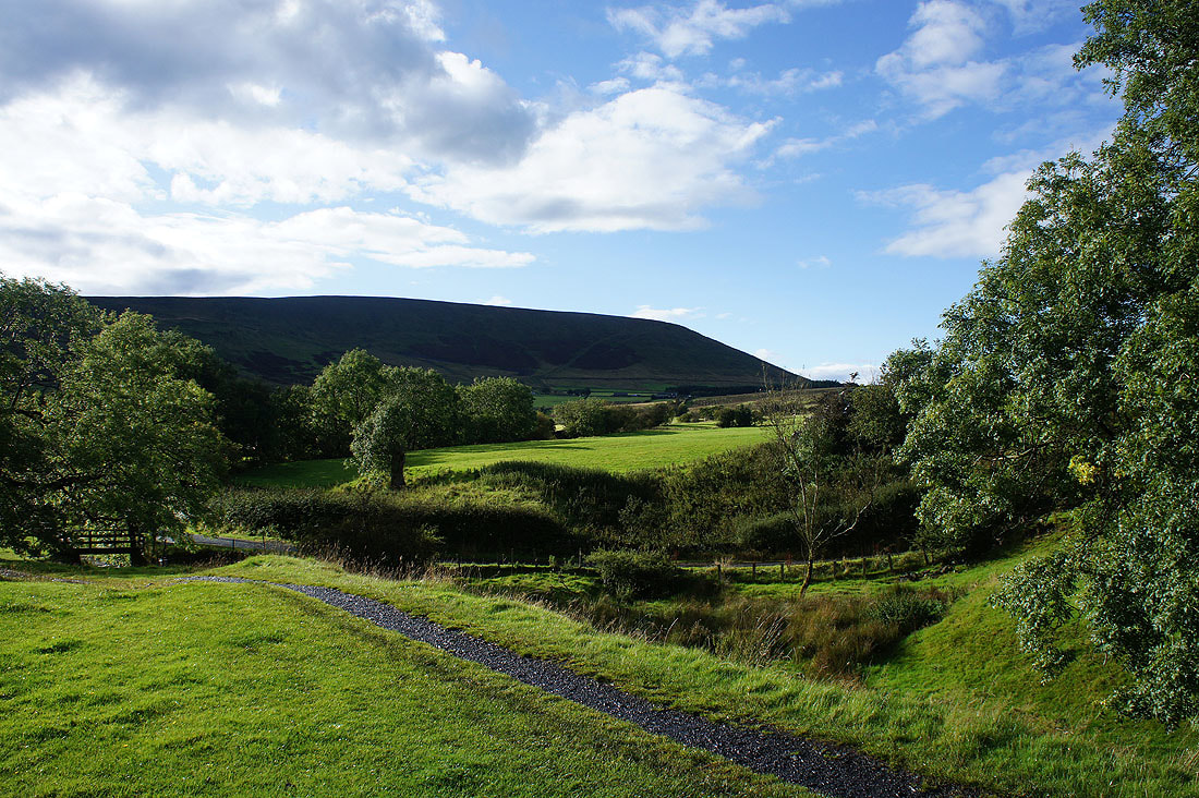
Blue skies and sunshine again for a last look back to Pendle Hill
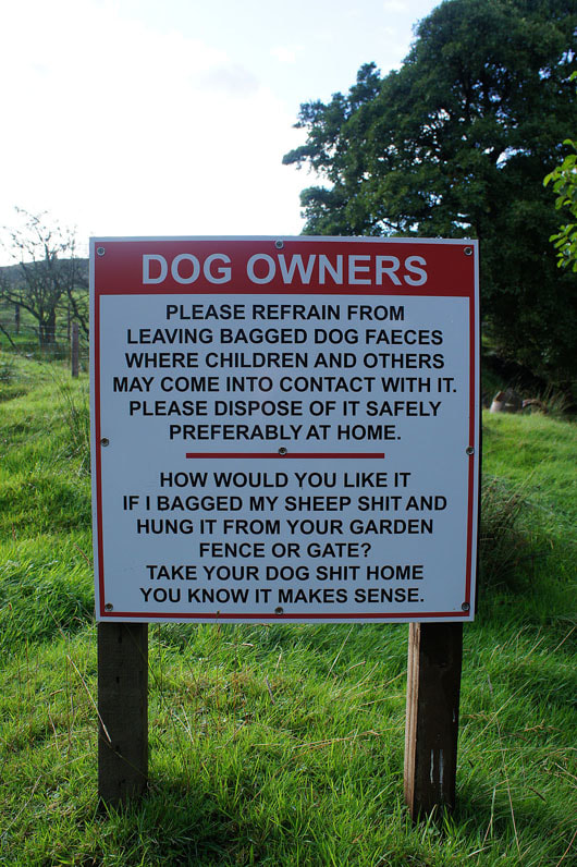
A polite reminder
