9th September 2018 - Pendle Hill
Walk Details
Distance walked: 6.4 miles
Total ascent: 1503 ft
OS map used: OL21 - South Pennines
Time taken: 3.5 hrs
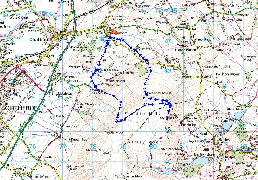
Route description: Downham-West Lane-Burst Clough-Scout Cairn-Worston Moor-Downham Moor-Pendle Hill-Downham Moor-Pendle Road-Downham
Pendle Hill saved the day, or more precisely the weekend. It was a late start though and I didn't arrive in Downham until 2 o'clock in the afternoon. The forecast of improving weather proved to be correct and it didn't take that long for brighter skies and sunshine to reach me so that I spent most of my time up on Pendle Hill in sunny spells. It was cool and windy though.
From Downham I followed West Lane west out of the village past Worsaw End Farm to a fork in the road where I went straight on to the end of the road and onto the footpath up by Burst Clough. I continued uphill onto Worston Moor to reach the Scout Cairn. I then made my way across Worston Moor and Downham Moor to reach the stile over the wall for the path to the summit. From the summit I retraced my steps to the stile and took the path down Downham Moor to Pendle Road. I then took the footpath opposite that makes its way across fields to head back to Downham.
Route map
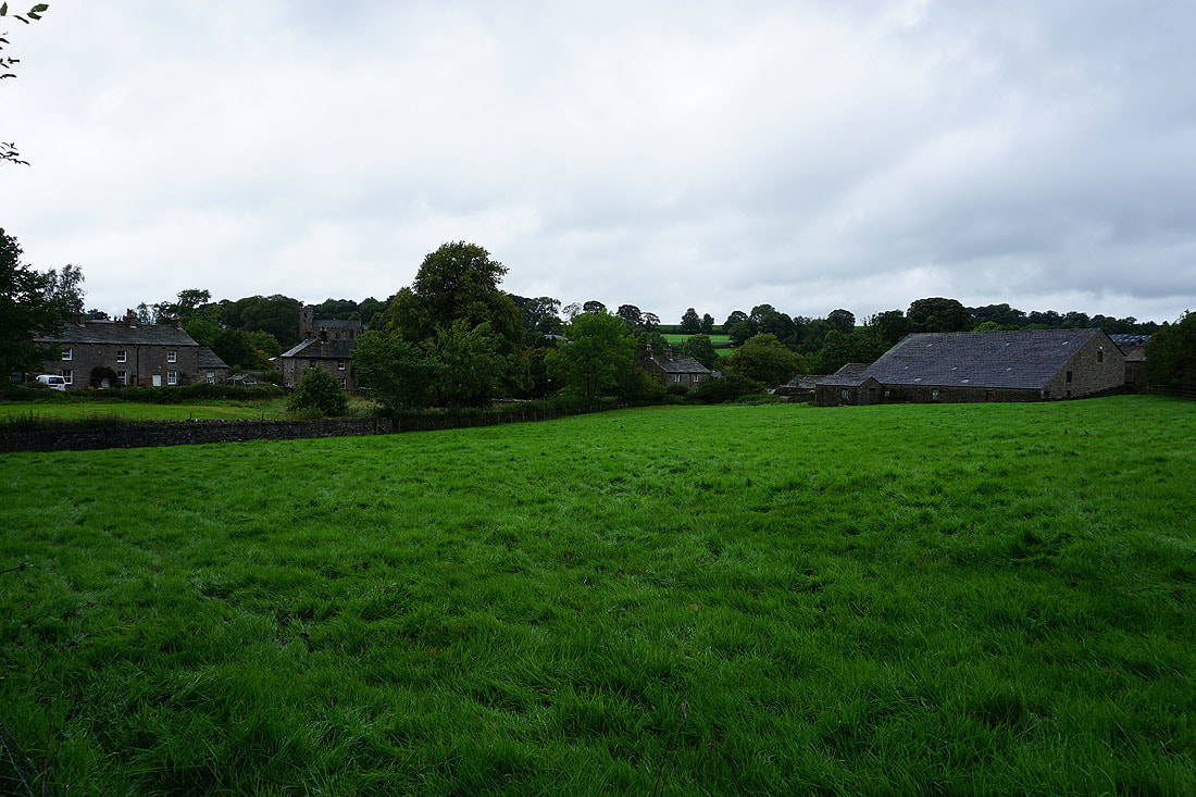
I leave Downham behind under grey skies
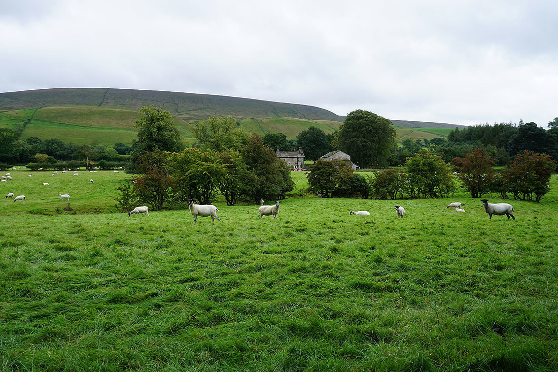
Pendle Hill behind Radbrook from West Lane
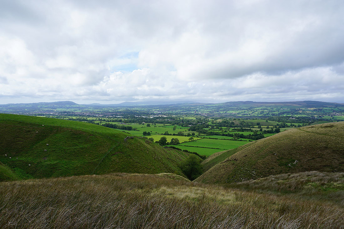
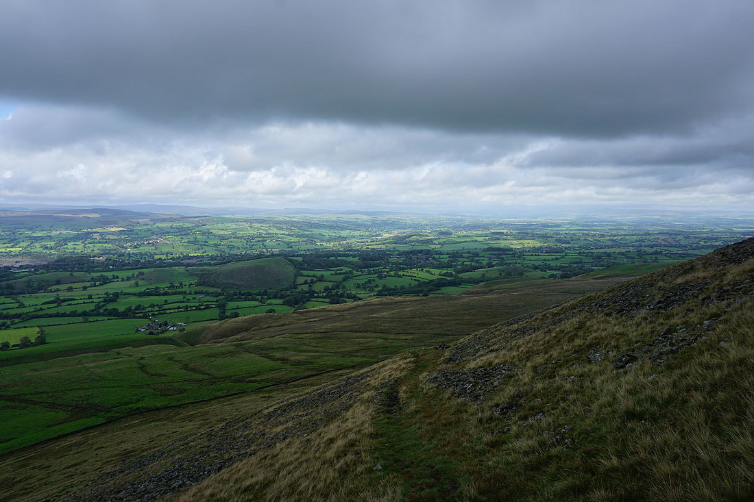
Looking across the Ribble Valley to Clitheroe and the Forest of Bowland as I start the climb by Burst Clough
and looking up the Ribble Valley towards the Yorkshire Dales (hidden by cloud)
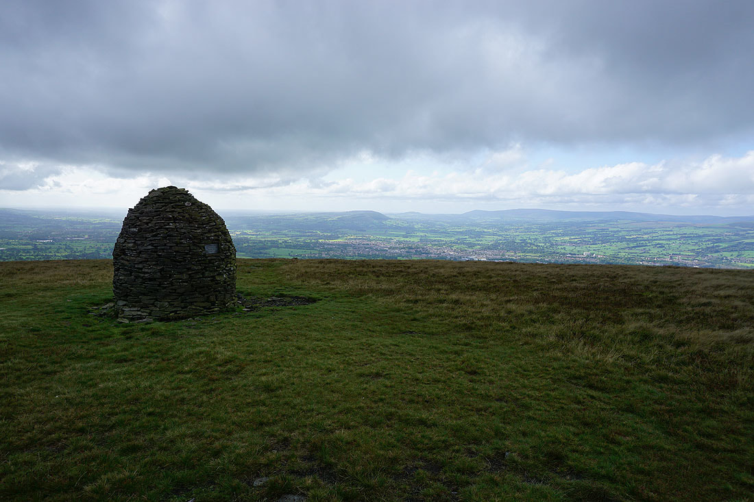
Clitheroe, Longridge Fell, Parlick and Fair Snape Fell from the Scout Cairn on Worston Moor
Spence Moor and Mearley Moor
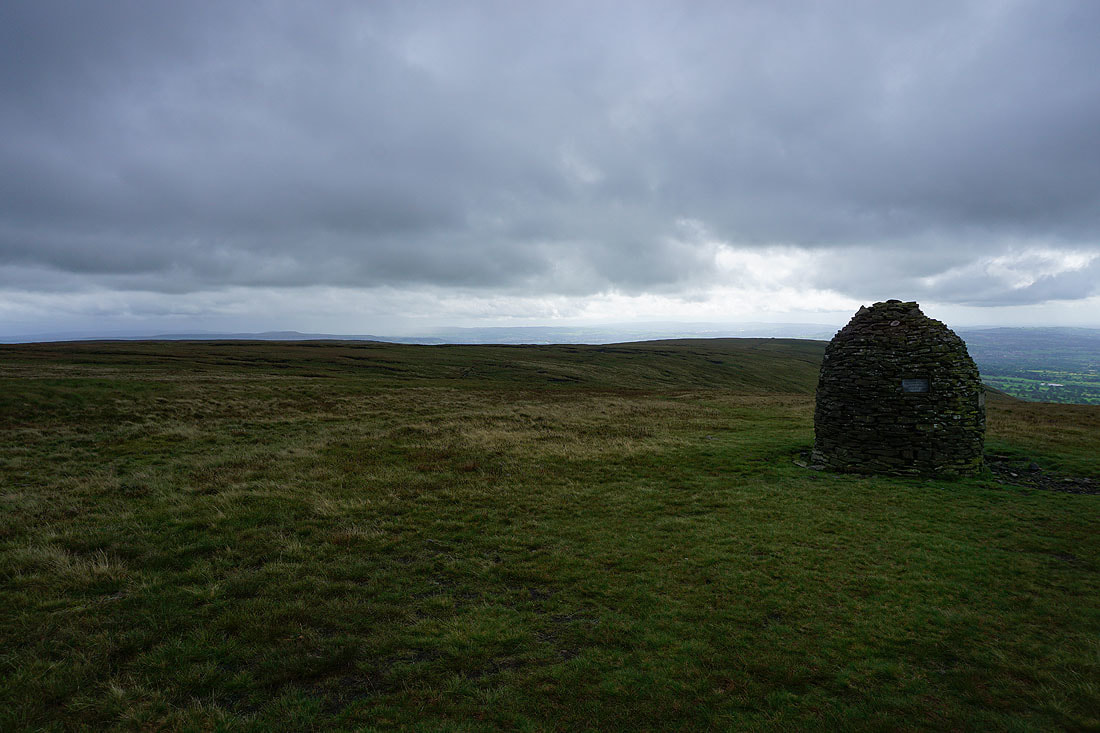
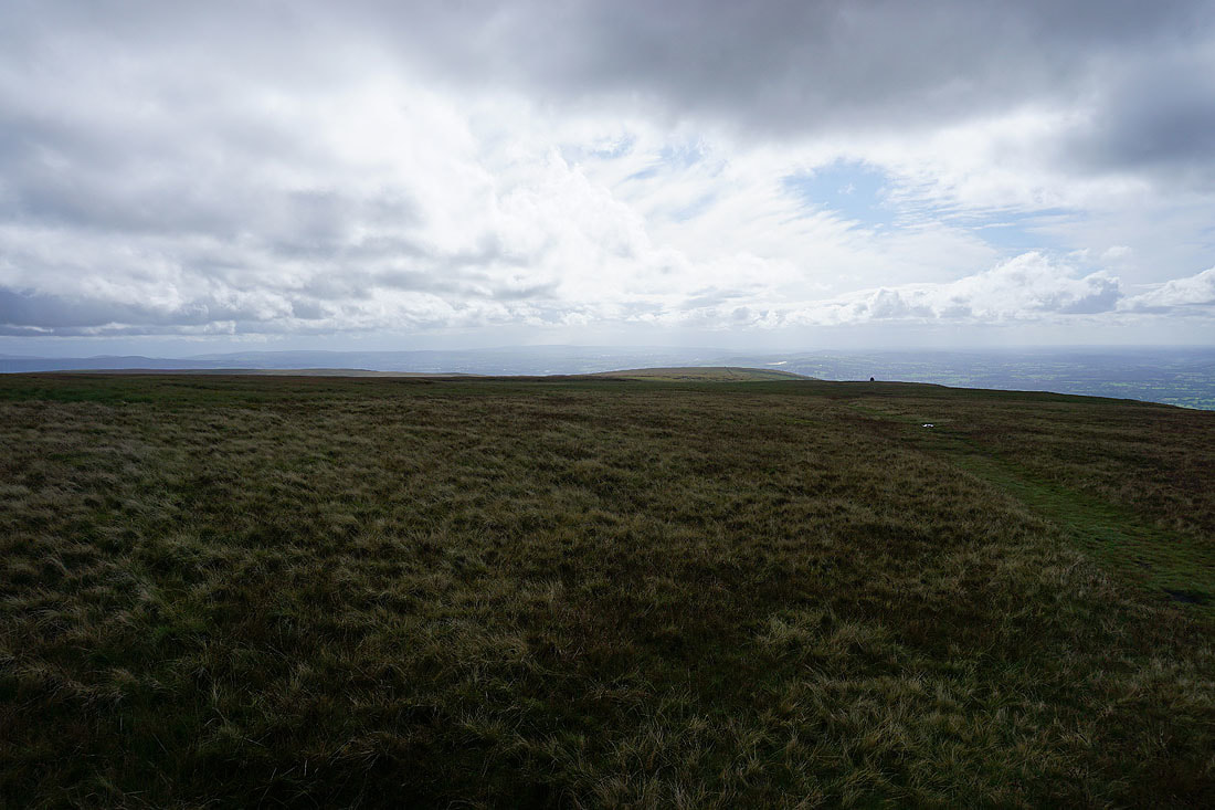
Looking back across Worston Moor and from the circular shelter it seems to be brightening up
and just a few minutes later it does. I can now begin to make out the hills of the Yorkshire Dales in the distance looking up the Ribble Valley.
and there's a great view across to the Forest of Bowland
Blue skies above
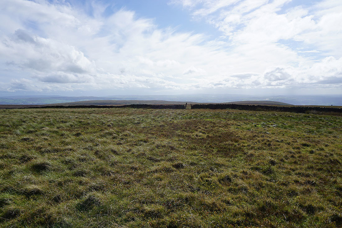
Time to cross the stile onto Downham Moor
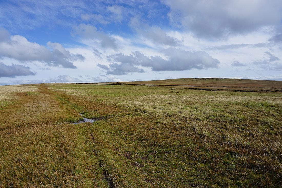
Sunlit moors
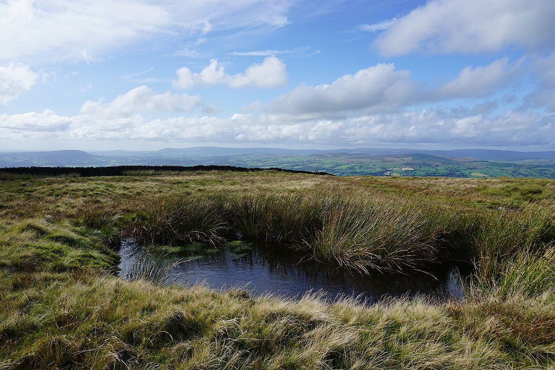
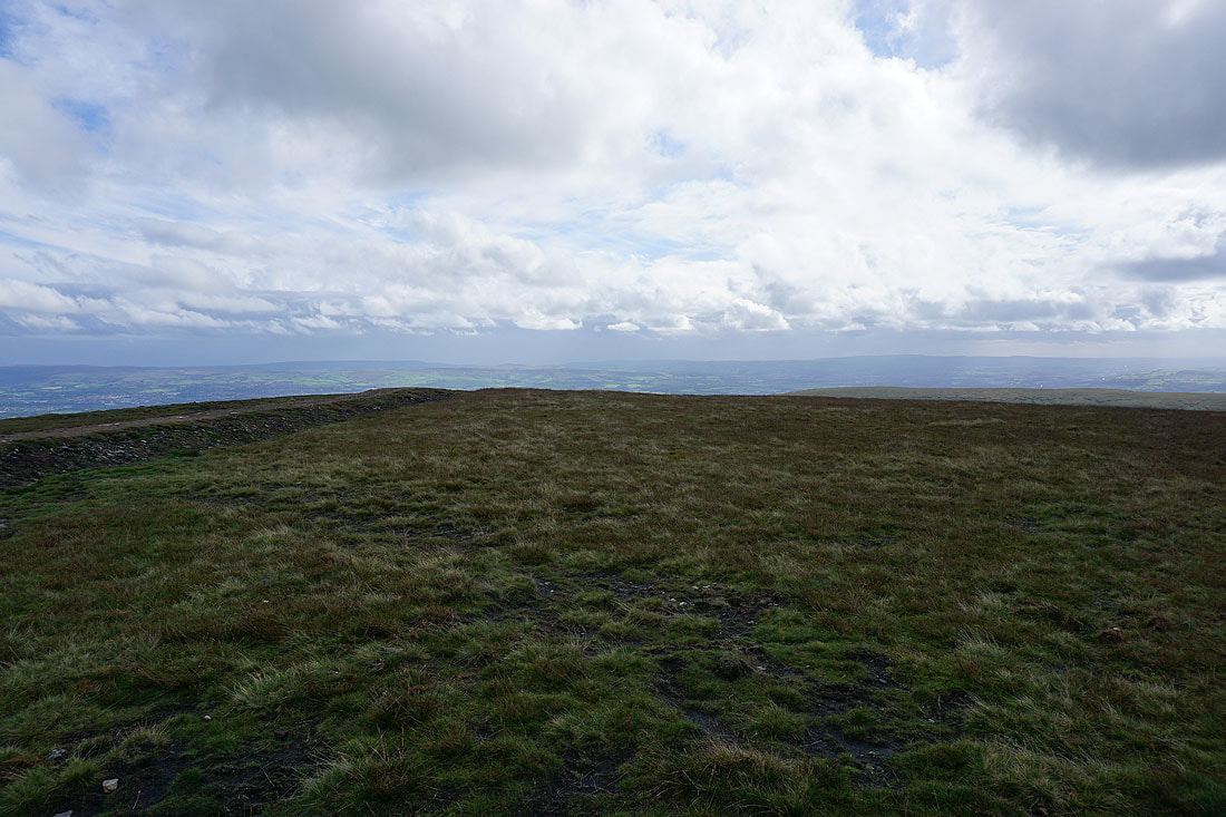
Not my usual pool on Downham Moor but it still makes a good foreground for a photo looking across to the Forest of Bowland..
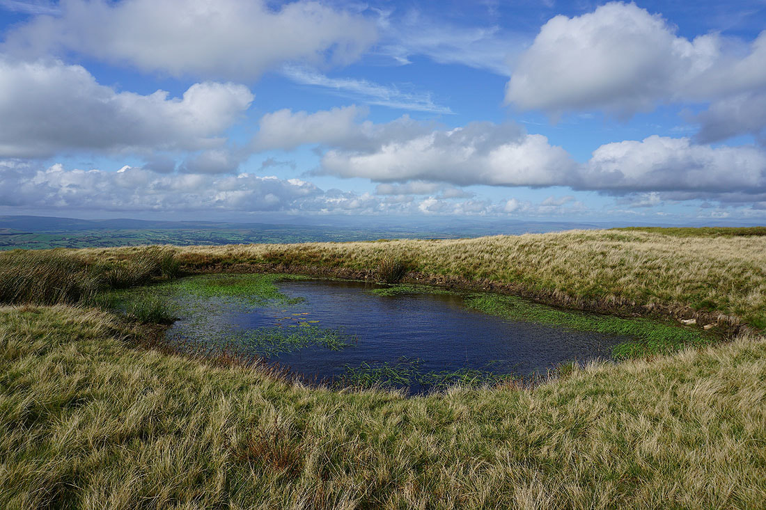
This is the usual one and it's filled up a bit since July. I can just make out Ingleborough and Penyghent in the distance.
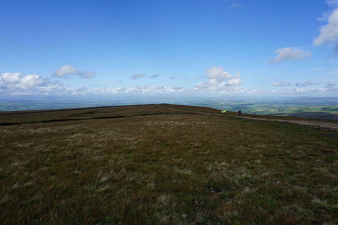
Downham Moor with the summit on the right
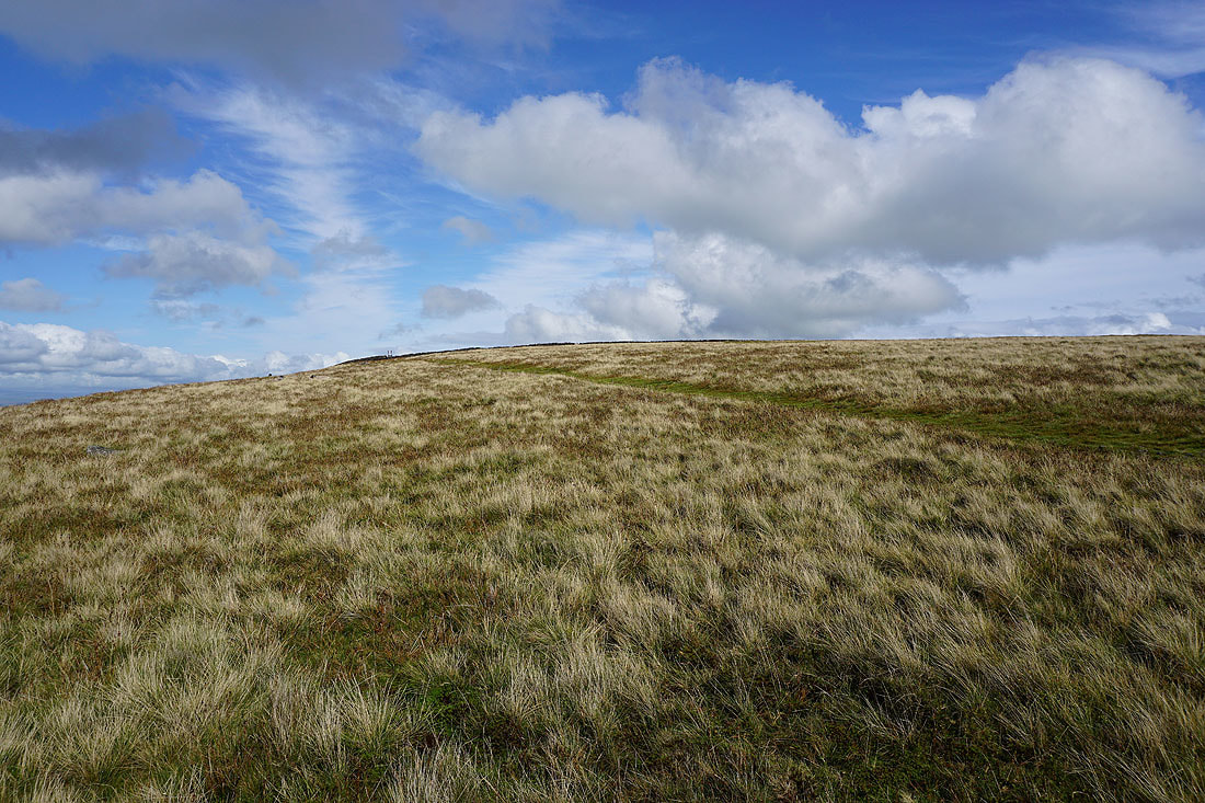
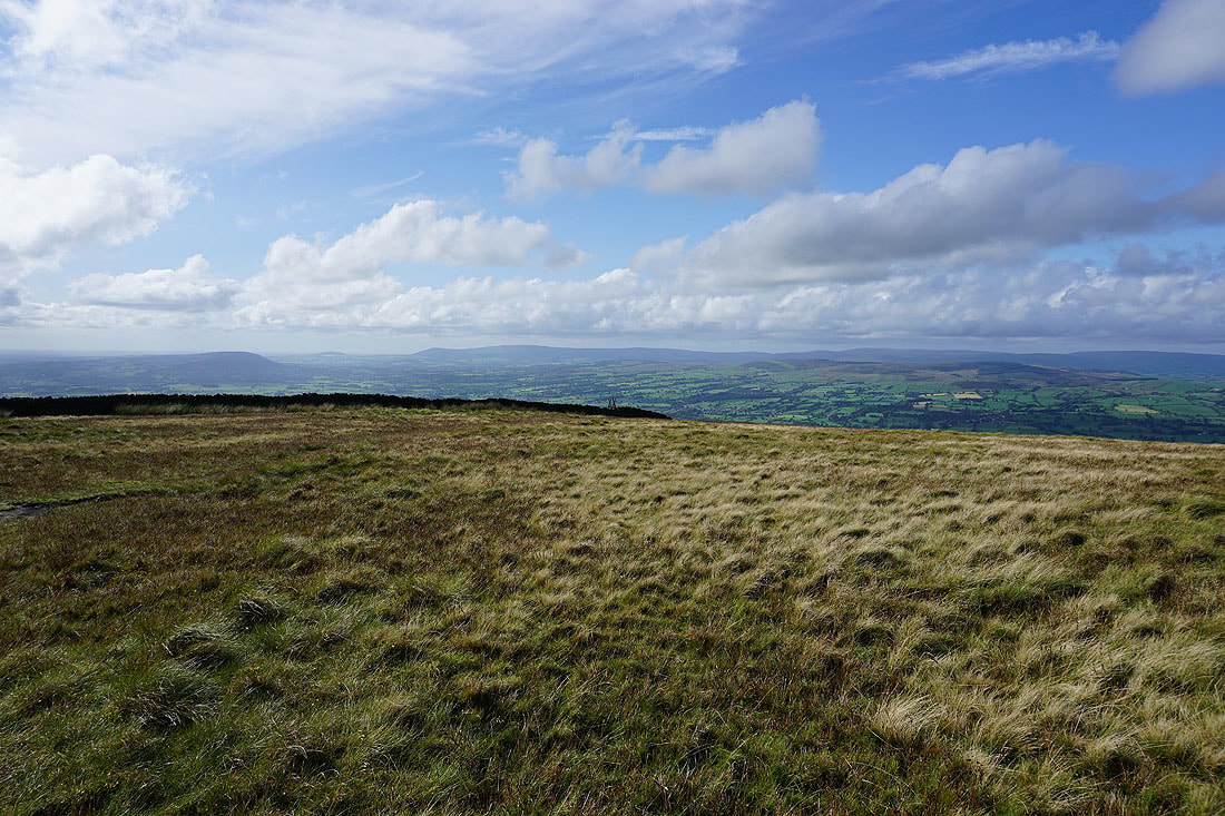
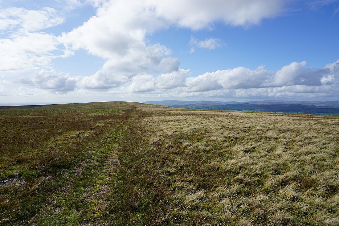
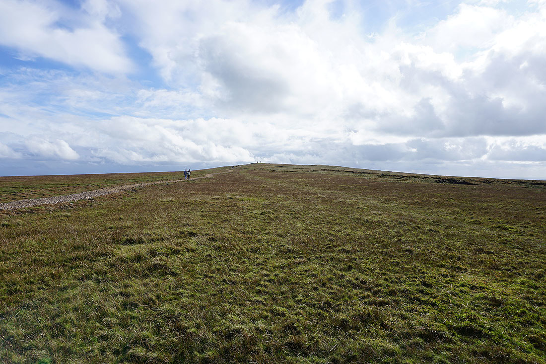
Looking back across Downham Moor
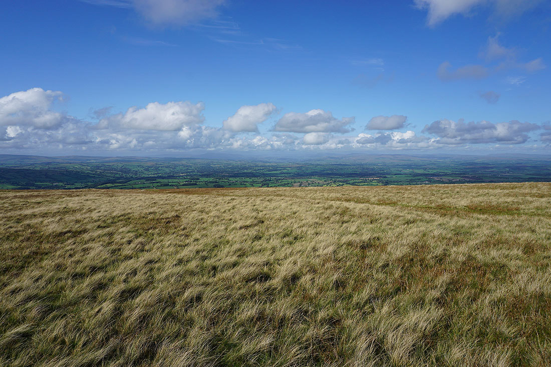
A great view across to the Yorkshire Dales before I cross the wall for the trig point and summit
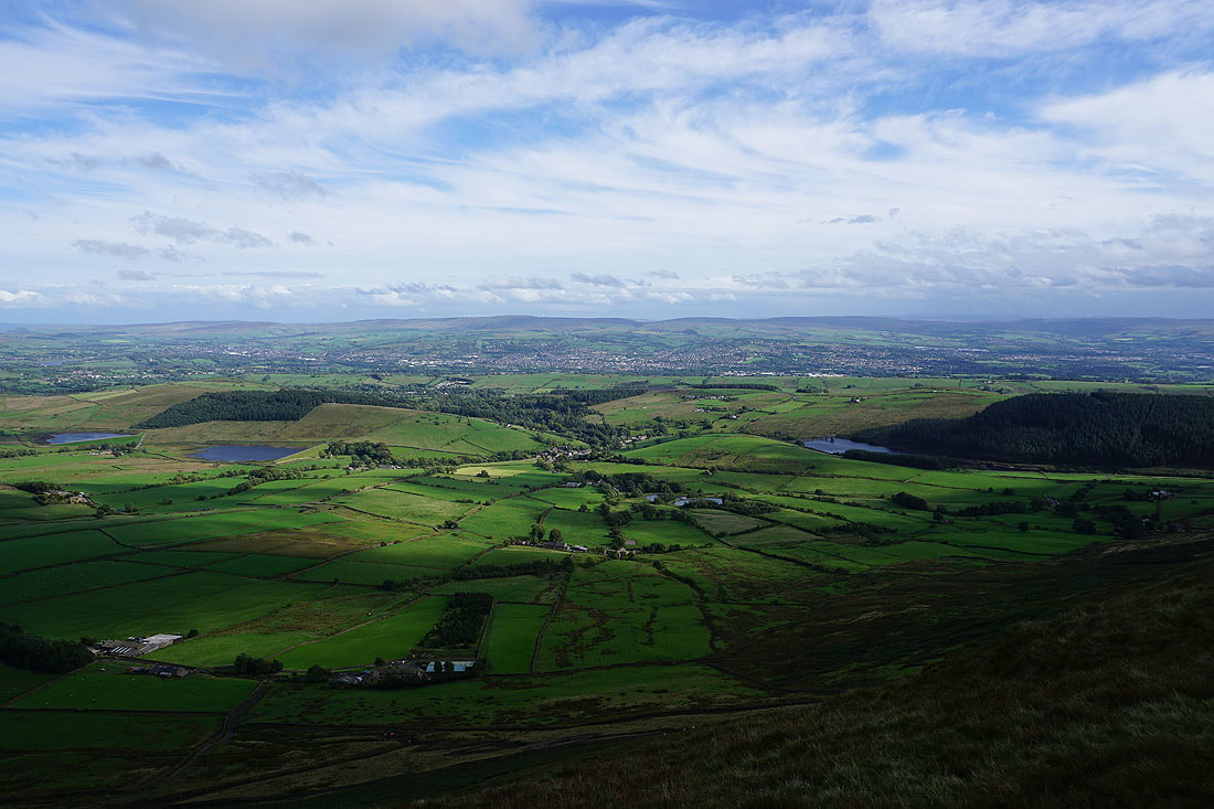
The Black Moss Reservoirs, Barley and Lower Ogden Reservoir with Colne, Nelson and Boulsworth Hill in the distance
On the summit and it's rather murky looking in the direction of the West Pennine Moors
The hills of the Yorkshire Dales in the distance
Downham Moor with the fells of the Forest of Bowland in the distance as I head back to cross the wall
Looking back to the trig point and summit
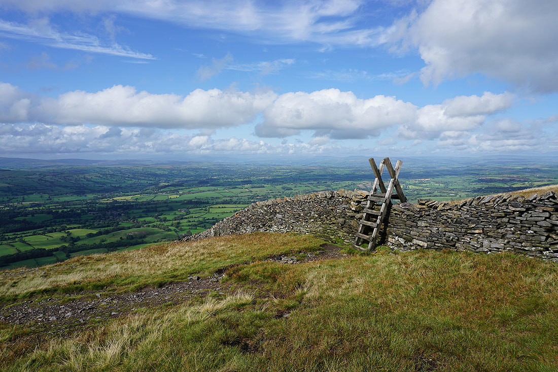
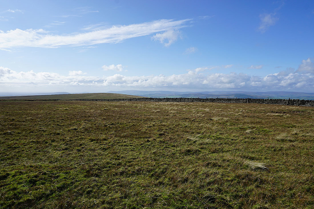
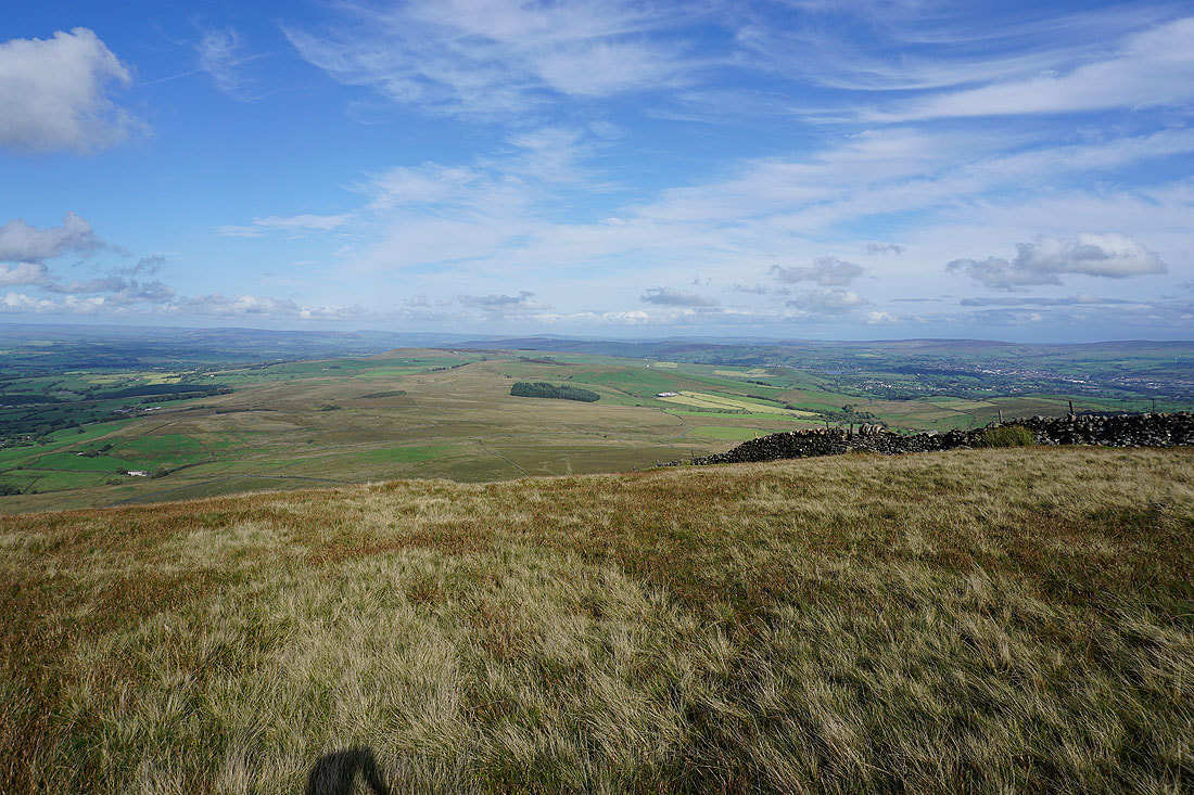
Back on the other side of the wall. Looking northeast to Twiston Moor and Weets Hill.
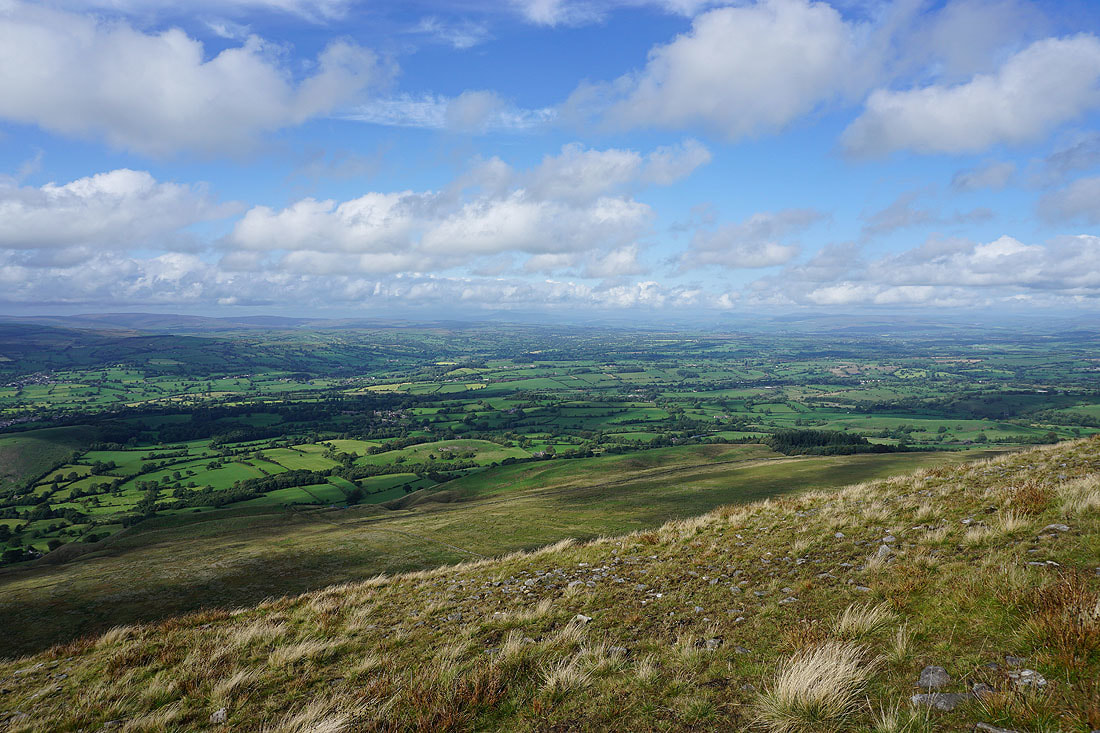
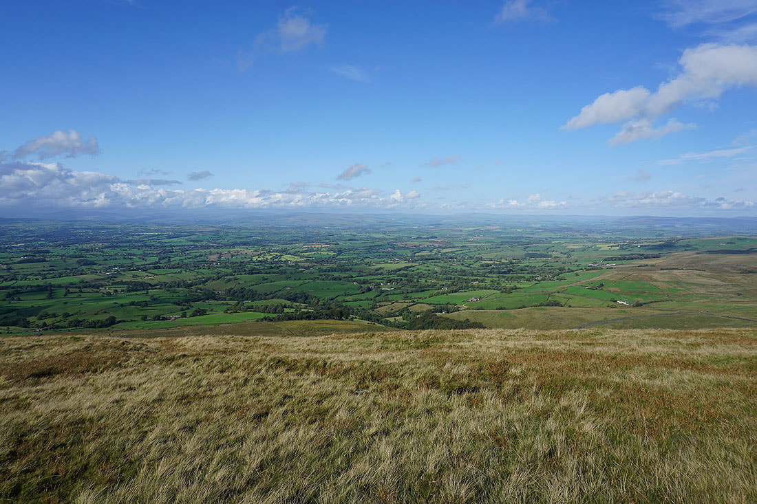
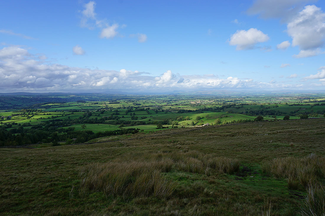
A glorious view to the north across the green fields of the Ribble Valley to the hills of the Yorkshire Dales. I can make out Ingleborough, Penyghent, Buckden Pike and Great Whernside.
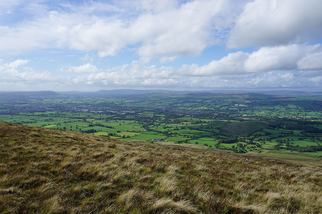
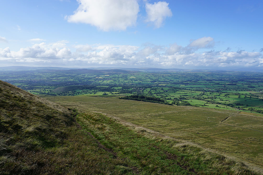
Looking across the Ribble Valley to Easington Fell as I start my descent
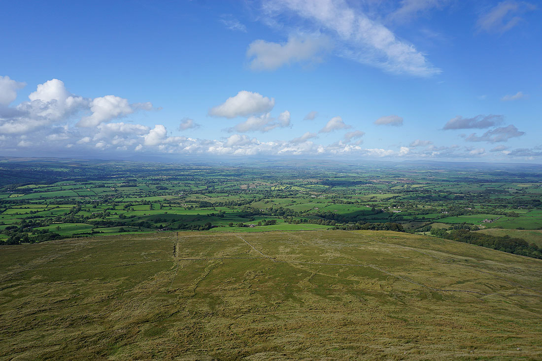
A couple more photos of the view north to the Yorkshire Dales as I make my way down to Pendle Road..
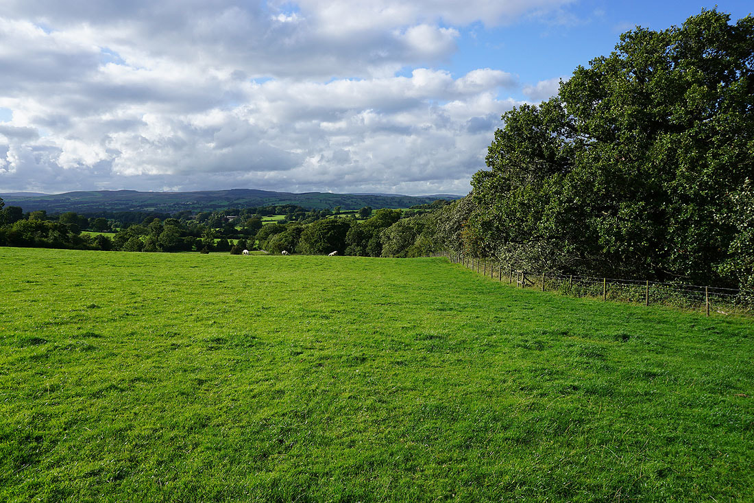
On the path back to Downham
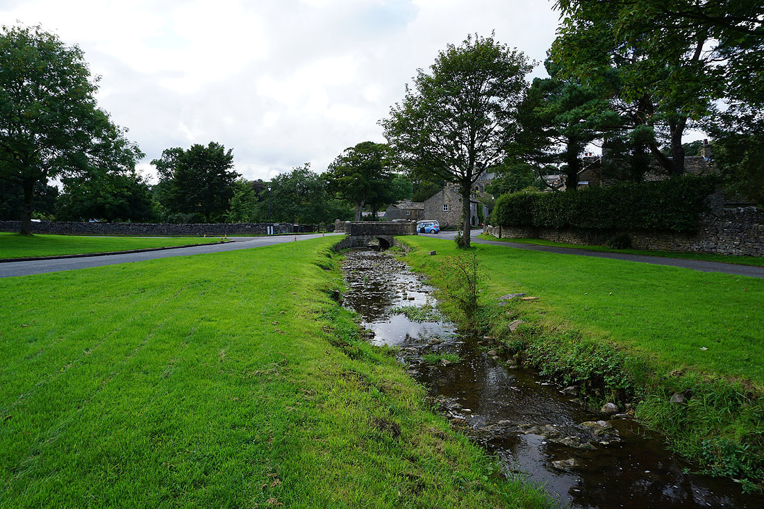
Next to Downham Beck in Downham
