9th September 2023 - The Ribble and Longridge Fell
Walk Details
Distance walked: 11.7 miles
Total ascent: 1456 ft
OS map used: 287 - West Pennine Moors
Time taken: 6.5 hrs
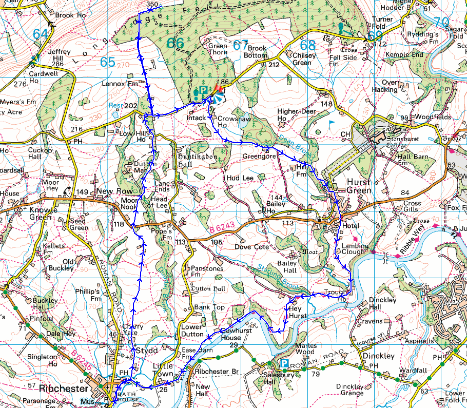
Route description: Old Clitheroe Road-Avenue Road-Hurst Green-Lambing Clough Lane-Trough House Farm-Ribble Way-Ribchester-Stydd Lane-Stydd Manor-Duddel Hill-B6243-Goodshaw Farm-Huntingdon Hall Road-Old Clitheroe Road-Longridge Fell-Old Clitheroe Road
It's the Forest of Bowland again for today's walk, but this time I'm on its southern edge above the Ribble Valley taking in the countryside around Hurst Green and Ribchester. A good portion of the route that I followed was already known to me from a walk that I did in 2014, although that's so long ago that it felt like a new route. Additions to the previous walk were visiting Ribchester to see the ruins of the Roman Bath House, and to take in the view of the River Ribble from there, and since I had the time I did a there and back to the top of Longridge Fell. Unfortunately the weather wasn't as good as it was yesterday, although I was expecting it to improve through the day. I set off under grey skies and it did brighten up for a while, only for a brief but heavy shower to pass through while I was in Hurst Green (I don't remember if that was in the forecast). Fortunately I was in Millie's having a coffee at the time. Once that cleared it gradually improved through the afternoon with increasing amounts of blue skies and sunshine.
From the layby where I parked my car on Old Clitheroe Road I walked a short distance east down the road until I reached a track and bridleway on the right. I took this and followed it downhill to Avenue Road in Hurst Green. After a stop at Millie's in Hurst Green I resumed my walk by taking Lambing Clough Lane next to the Shireburn Arms and following it down to Trough House Farm, where I joined the trail of the Ribble Way. The Ribble Way took me west to Ribchester Bridge, along Blackburn Road, down the lane of Greenside, and to the ruins of the Roman Bath House and the banks of the River Ribble, where I stopped for a break. After this stop I retraced my steps out of Ribchester to Blackburn Road and the Ribchester Arms, where I took Stydd Lane on the left. I walked north up Stydd Lane, up the track past St. Saviour's church to Stydd Manor, then took a footpath north up through fields to Duddel Hill and a track out to the B6243. I crossed the road and took the footpath opposite across fields to and across the access road to Dutton Manor, then a footpath north up through fields to reach Goodshaw Farm and Huntingdon Hall Road. I turned left here and walked up to the top of Huntingdon Hall Road, then briefly east along Old Clitheroe Road to a track and footpath on the left. I walked up the track to its top at Moor Game Hall, from where I took a footpath up the edge of a field, into and through the conifer plantations on Longridge Fell, and up to the trig point on Spire Hill. After taking in the views I retraced my steps back down to Old Clitheroe Road where I turned left and walked along the road back to where I'd parked by car.
Route map
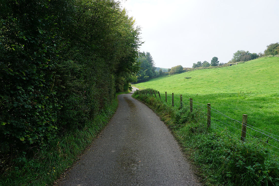
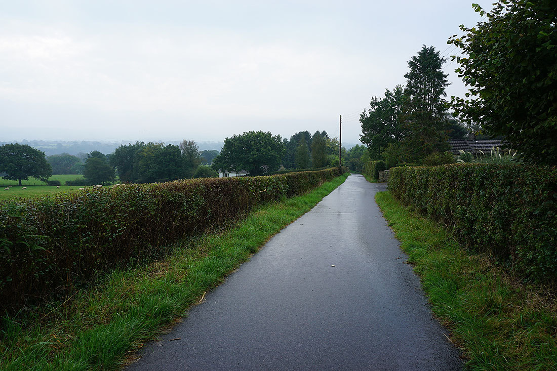
After parking by Old Clitheroe Road I take the bridleway to Hurst Green
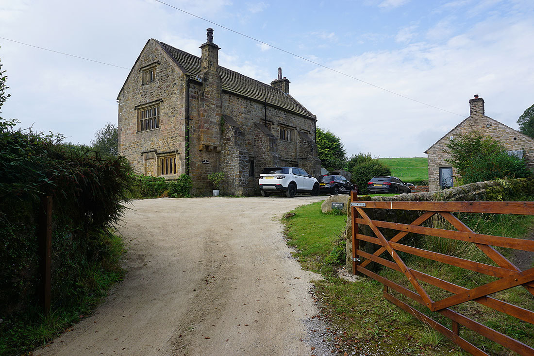
Passed Crowshaw House
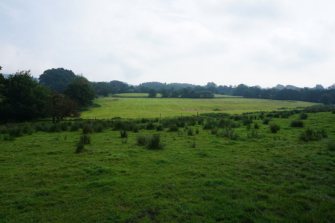
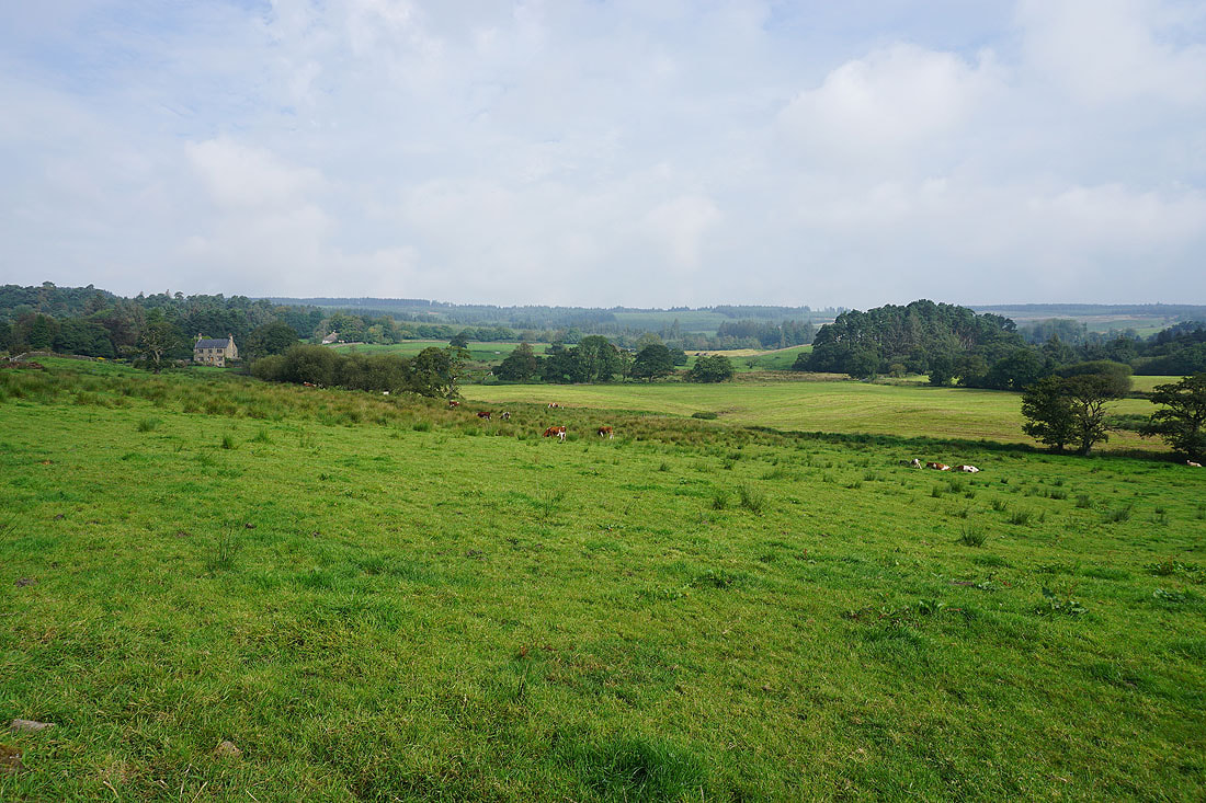
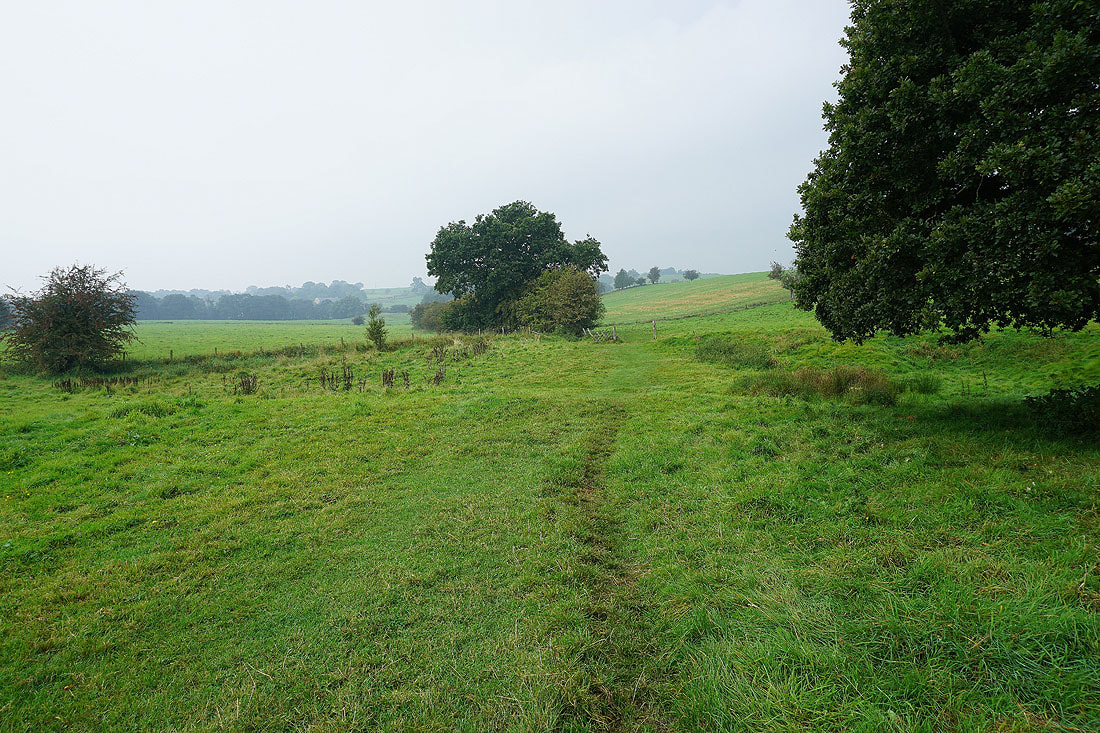
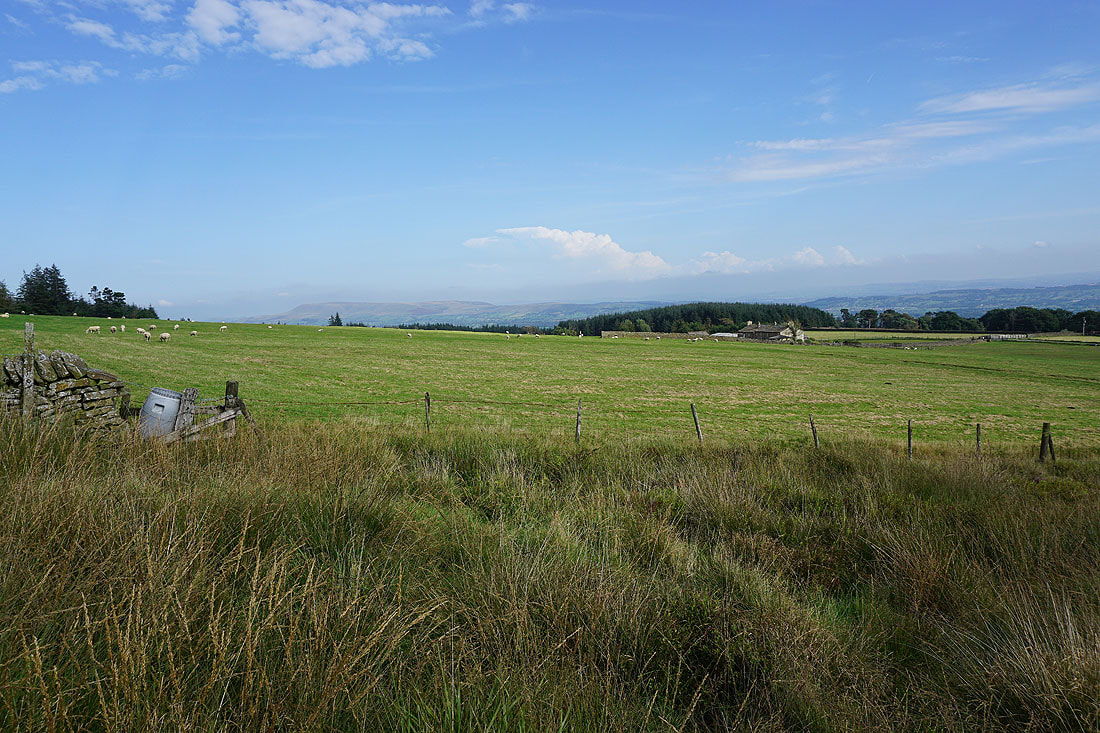
Grey skies over the fields below Longridge Fell
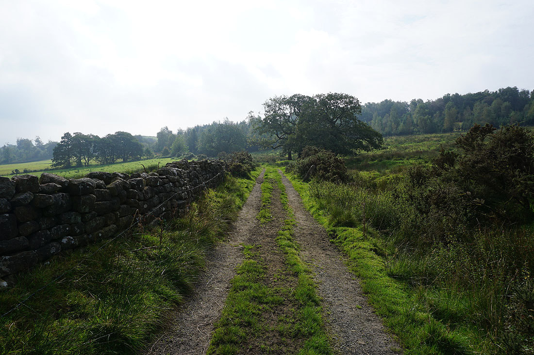
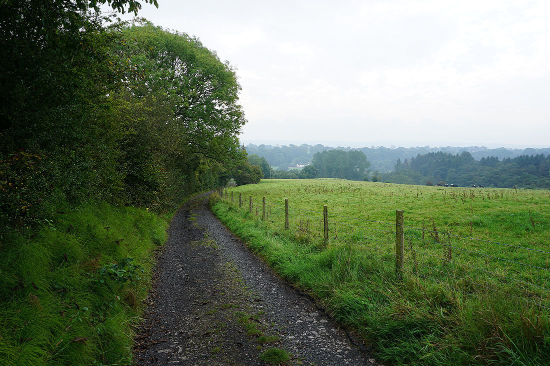
Making my way down the bridleway to pass Hudd Lee Wood
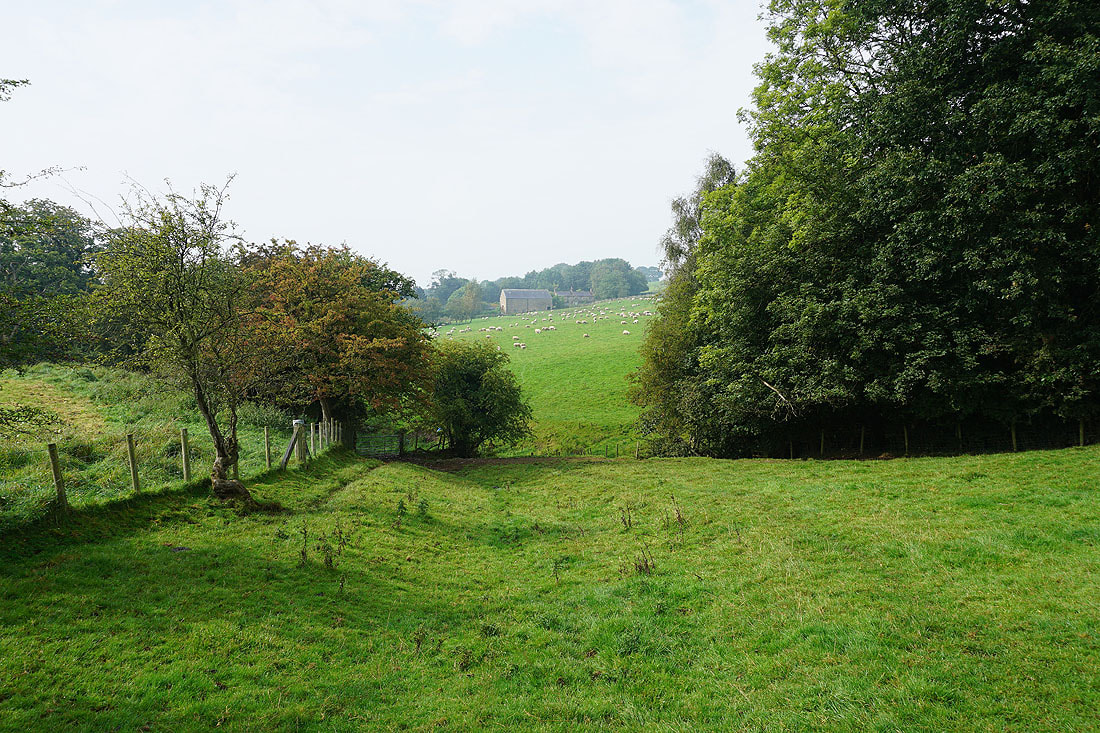
The skies brighten over the Ribble Valley farmland
Passed Greengore
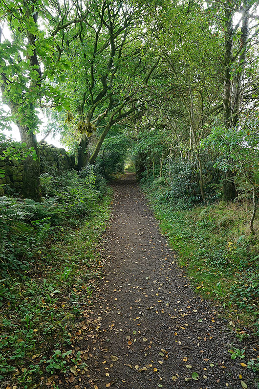
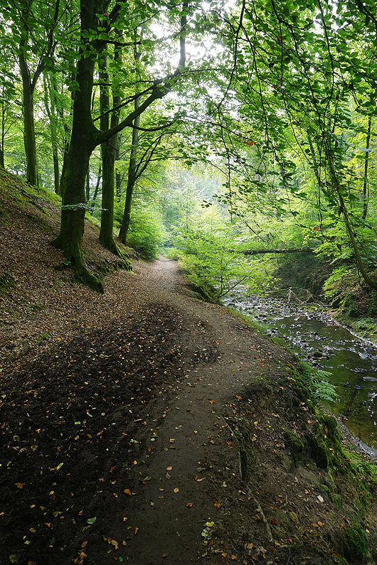
The bridleway then heads down into woodland for the final bit to Hurst Green
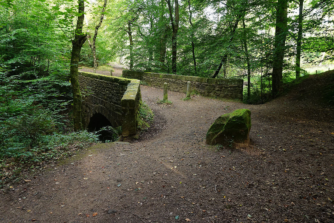
Across a bridge over Dean Brook
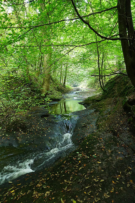
Before reaching Hurst Green the bridleway briefly runs alongside Dean Brook..
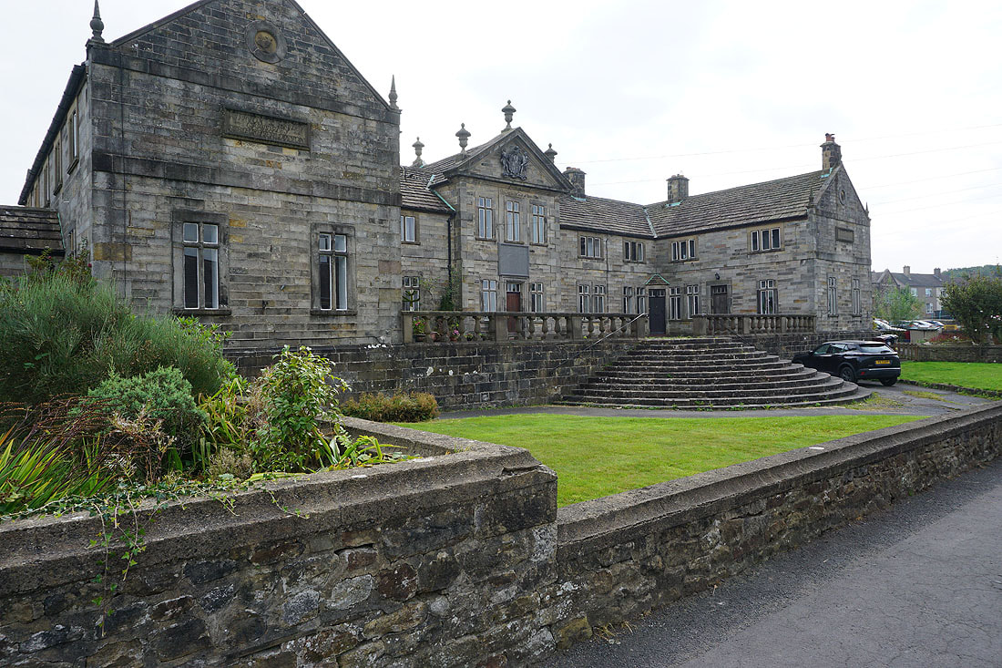
The Shireburn Alms Houses. Richard Shireburn founded Stonyhurst Hall in 1592 and this became Stonyhurst College in 1794. He donated the Alms Houses to the village.
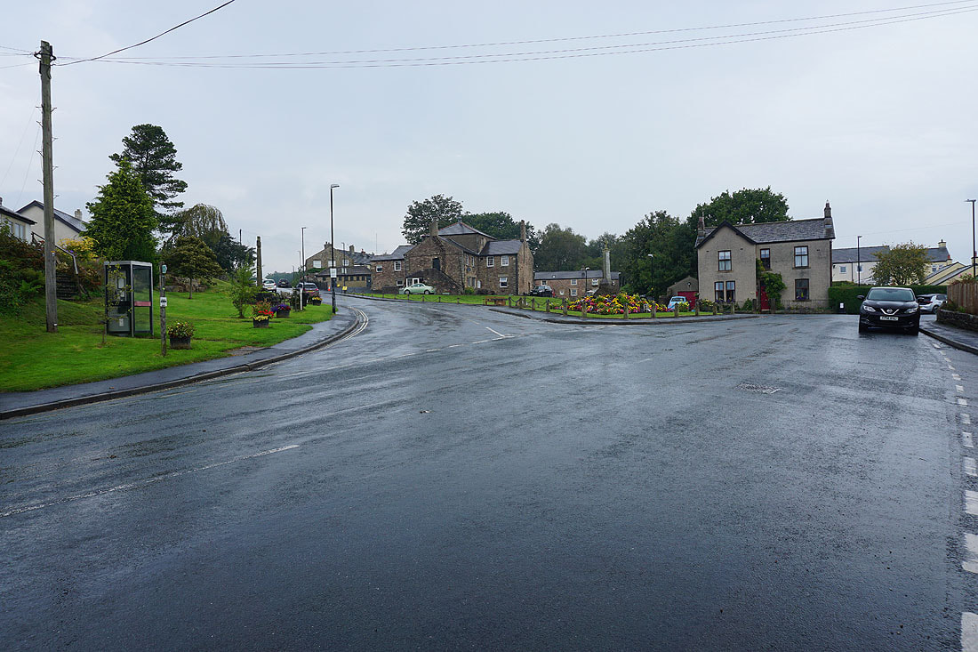
Wet roads in Hurst Green. A brief but heavy shower passed through while I was stopped at Millie's for coffee and cake.
I leave Hurst Green by taking the bridleway down Lambing Clough Lane..
..then down to Trough House Farm, where I'll join the Ribble Way
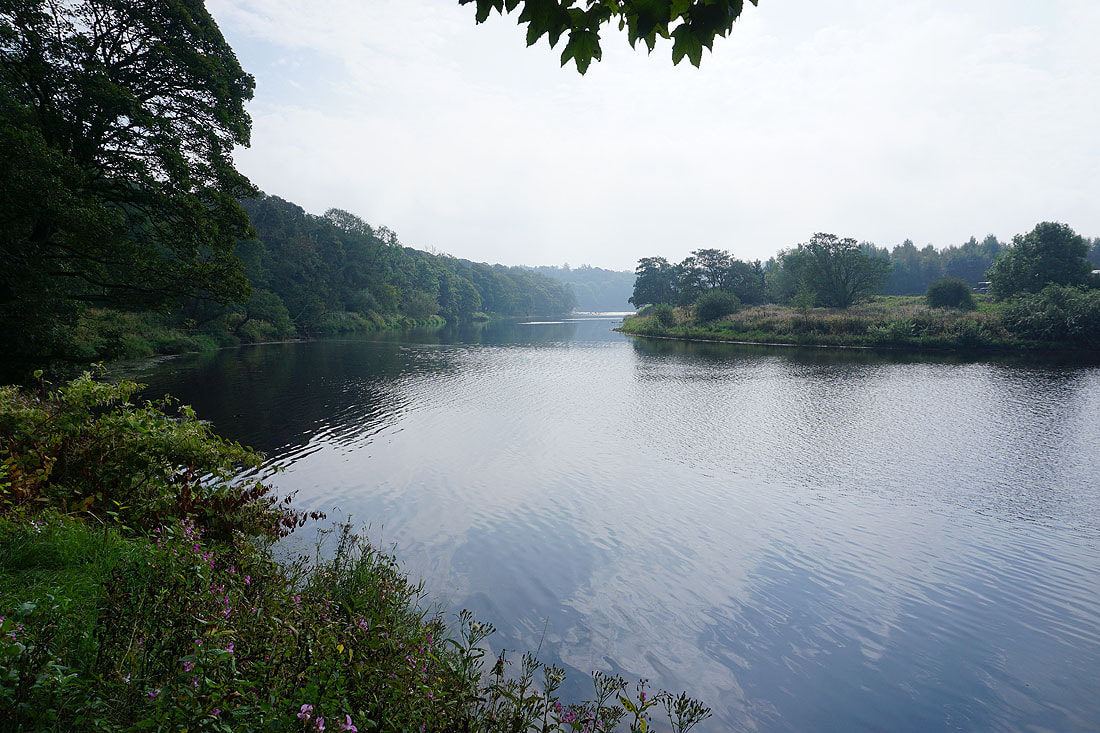
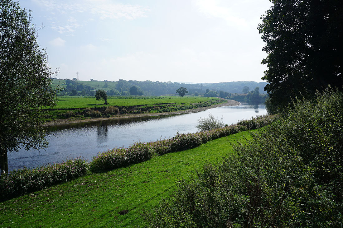
Not on my route but I had to make the short diversion for this view of the Ribble from the footbridge near Trough House Farm
On the Ribble Way across farmland..
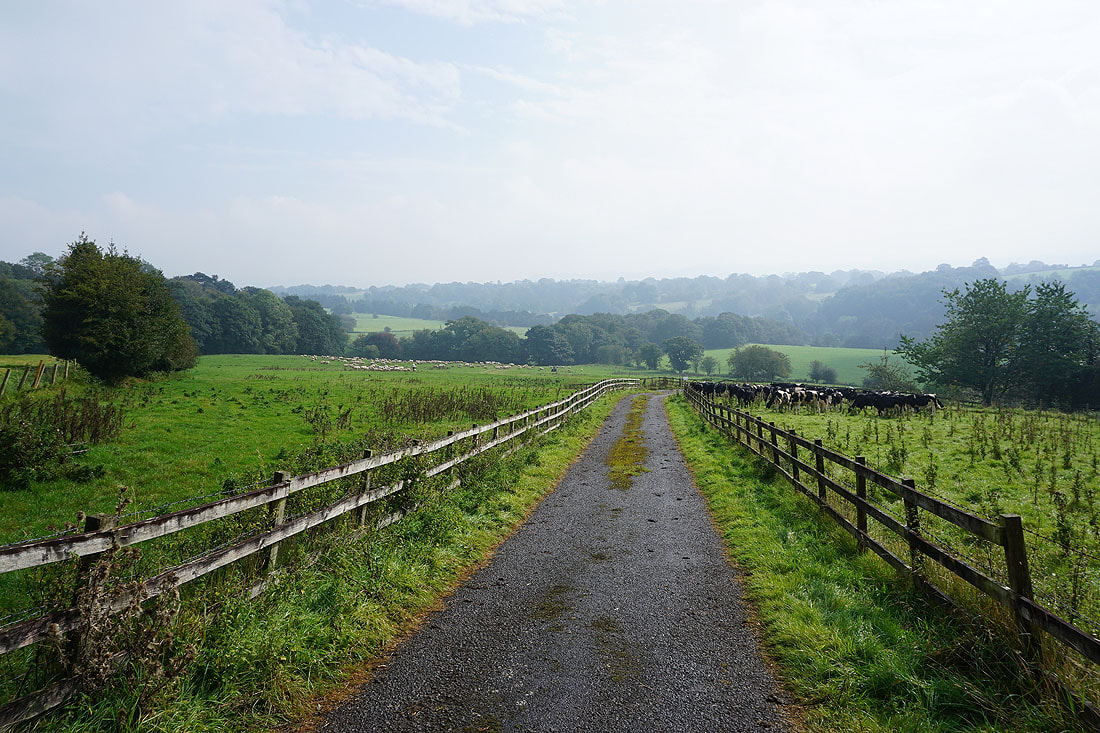
Looking back across the Ribble Valley as I reach Hey Hurst Farm
Following the Ribble Way south towards the River Ribble
A glimpse of the river through the trees to my left
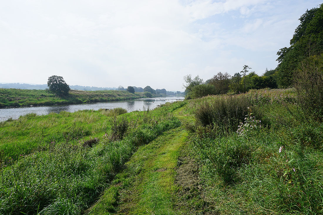
The Ribble Way joins the north bank of the river as it heads west towards Ribchester....
At Dewhurst House
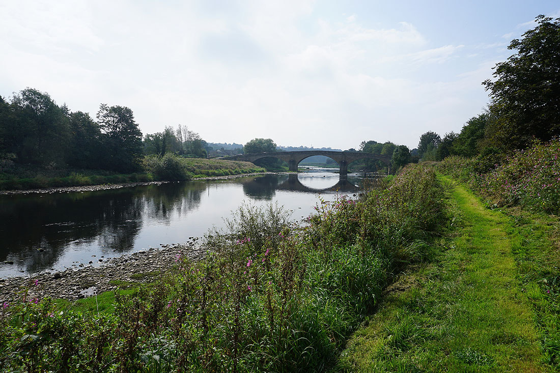
Approaching Ribchester Bridge..
Ribchester Bridge. Thought to have been constructed in 1774, it is a grade II listed building, built of sandstone and consists of three segmental arches on triangular cutwaters, with a string course and a solid parapet.
The River Ribble from Ribchester Bridge
Farmland to the north of Blackburn Road
Leaving Blackburn Road I walk south along Greenside
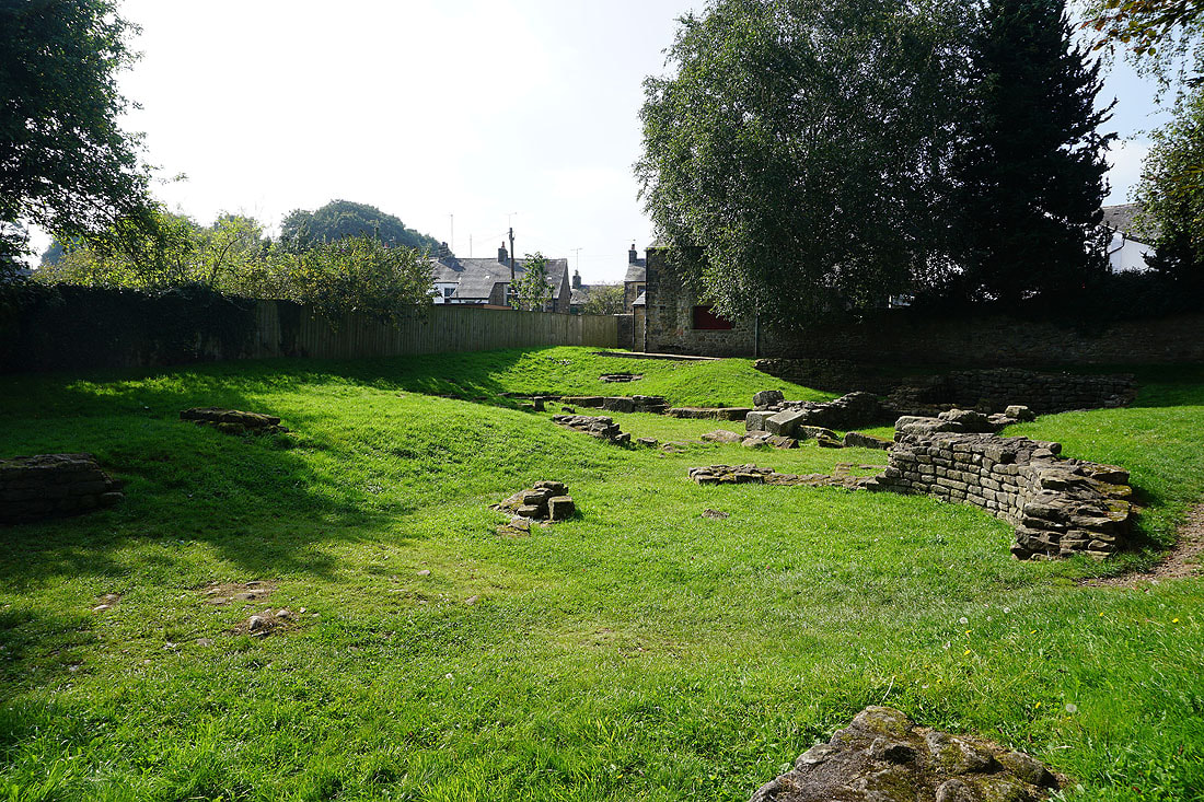
Part of the ruins of the bath house at Ribchester (known to the Romans as Bremetennacum), which was built in about AD 100. It continued in use for about 200 years. It was designed to serve the needs of the soldiers garrisoned in the nearby fort and later for the local civilian population. However, it was built outside the walls of the fort because of the ever-present risk of fire from the furnaces used to heat the various rooms.
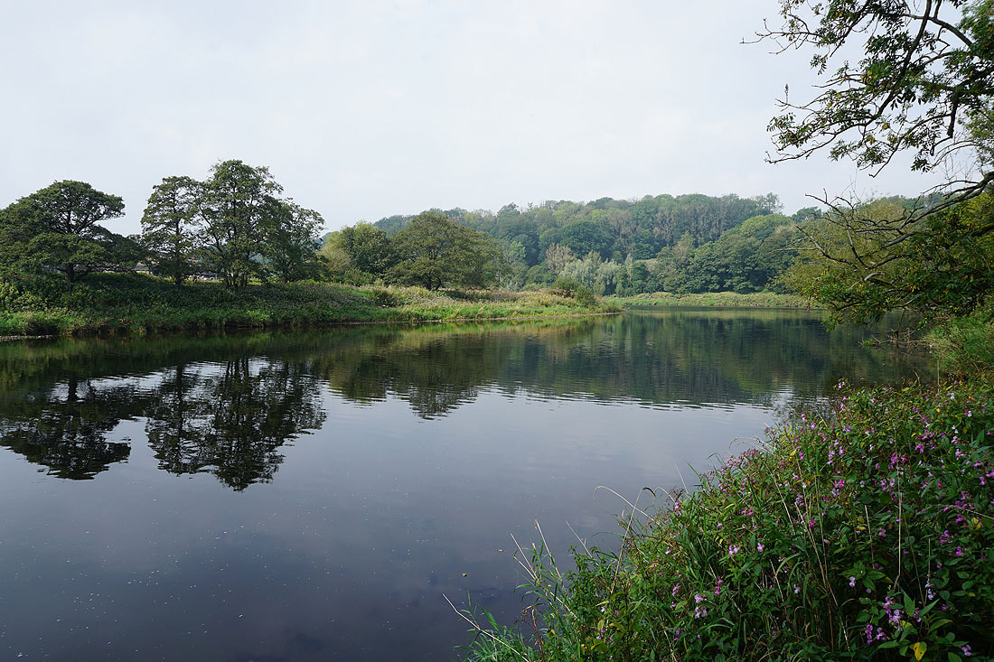
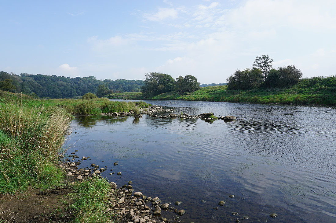
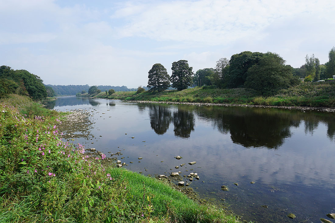
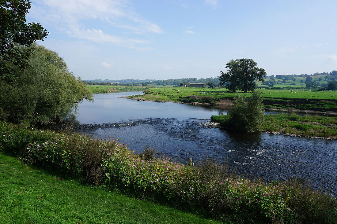
A short distance from the bath house ruins is a great view of the River Ribble..
From Ribchester I've walked back along Blackburn Road to just past the Ribchester Arms, to head north along Stydd Lane
The church of St. Peter and St. Paul
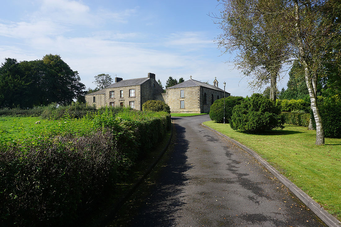
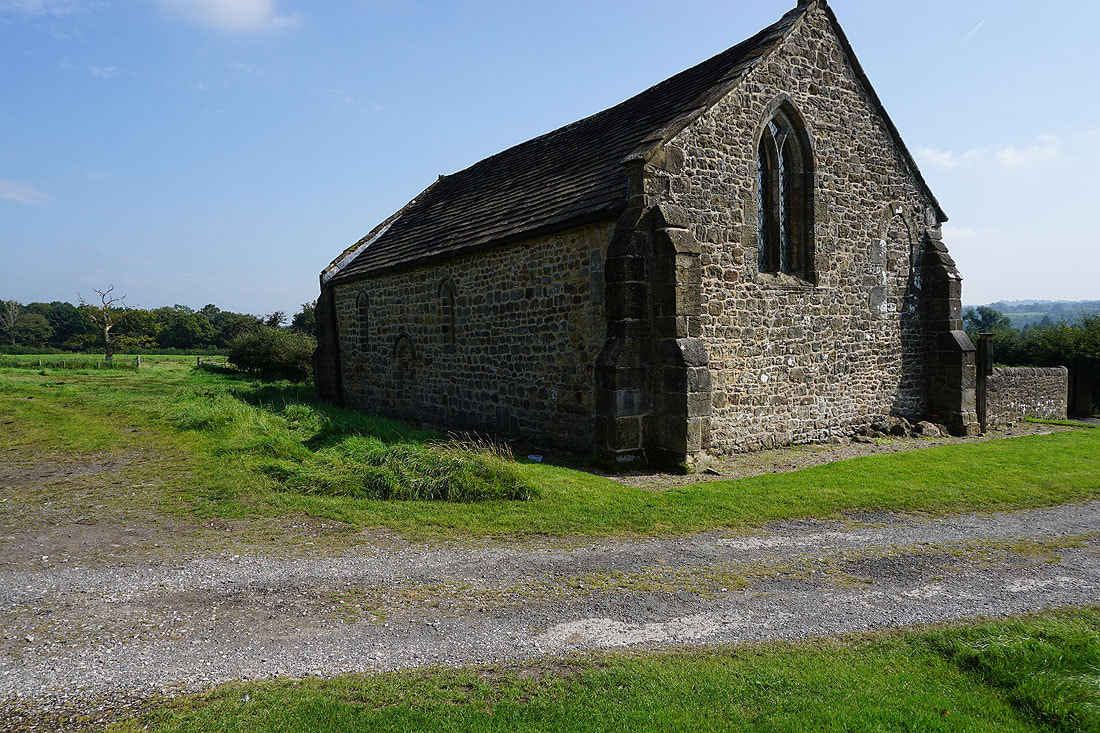
The Church of St. Saviour at Stydd, which is as old as it looks. Part of it dates from the end of the 12th century.
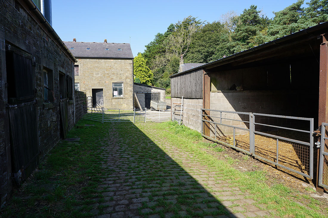
Following the footpath through Stydd Manor
and then north up Duddel Hill...
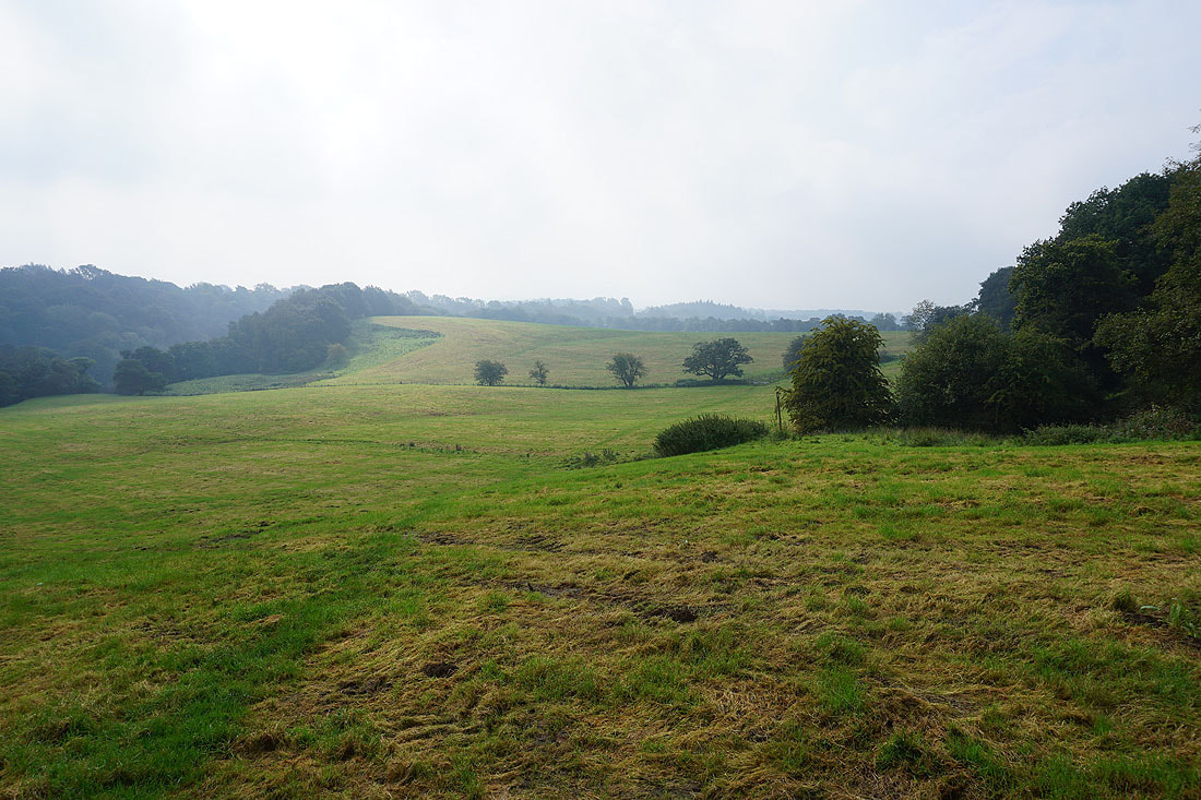
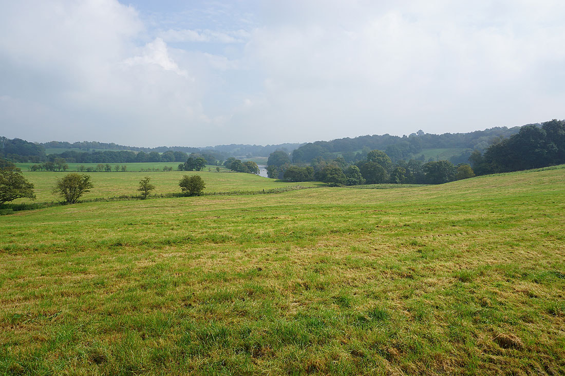
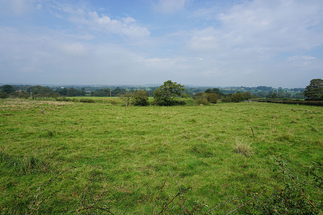
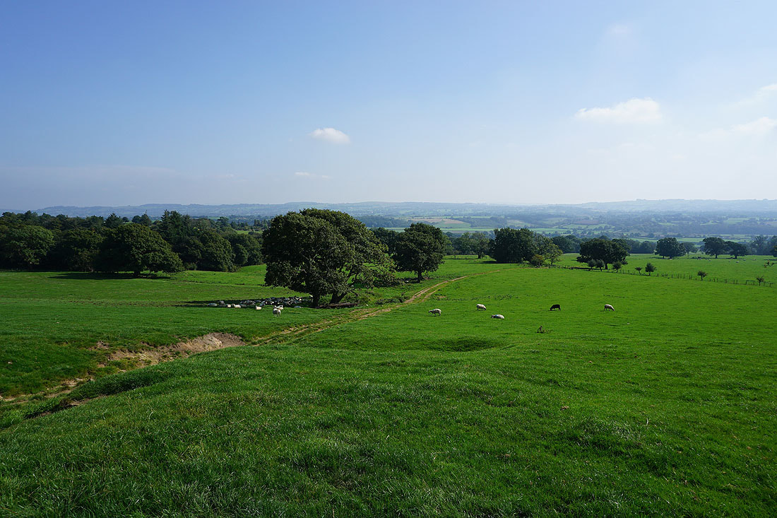
Looking back and across the Ribble Valley from Duddel Hill..
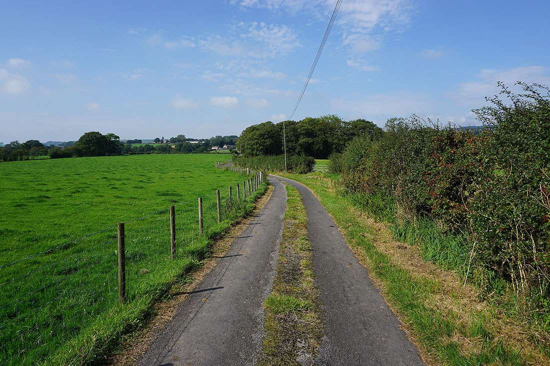
From Duddel Hill the footpath goes along a track to the road of Dean Brow
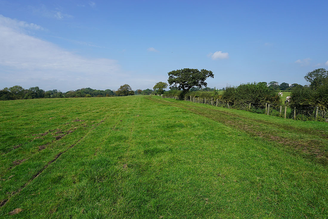
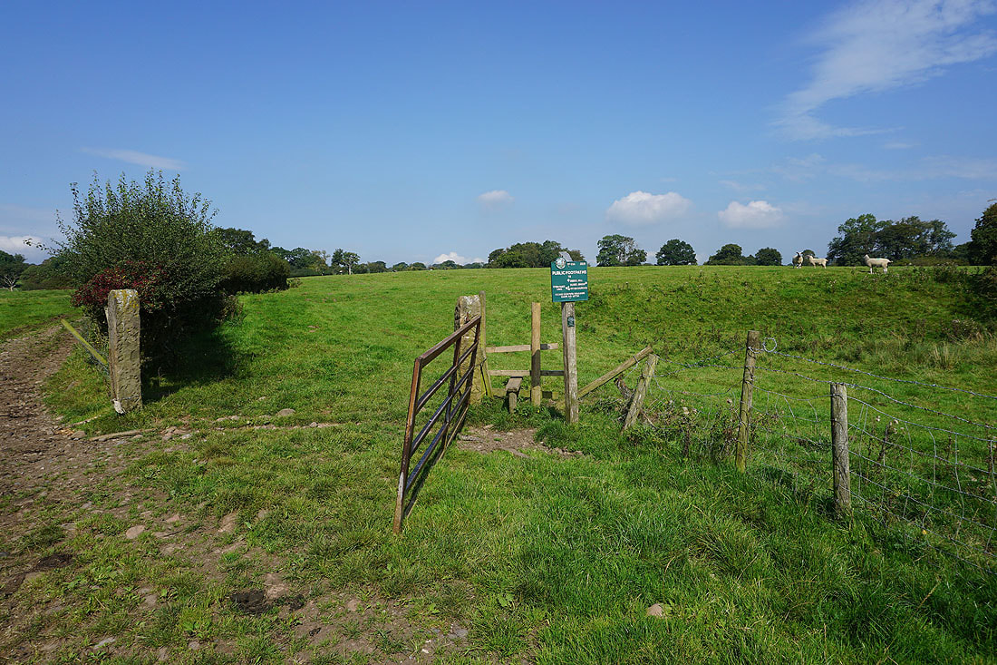
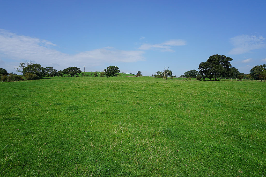
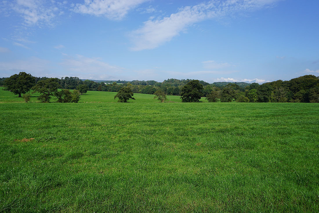
Having made it to the B6243 at Dean Brow, I follow footpaths up through fields..
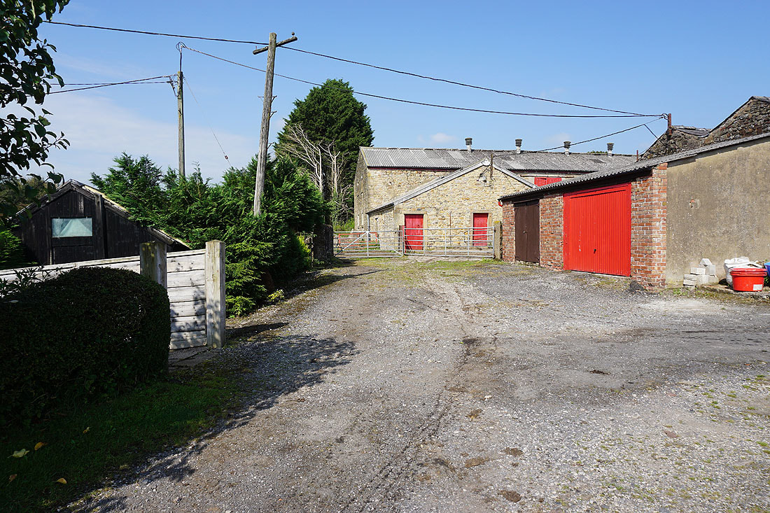
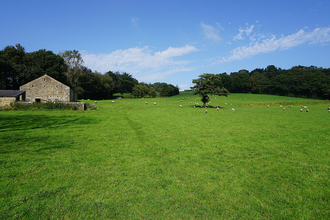
..to reach Goodshaw Farm
After a walk up to the top of Huntingdon Hall Road, and a short walk east along Old Clitheroe Road, I take the footpath up onto Longridge Fell
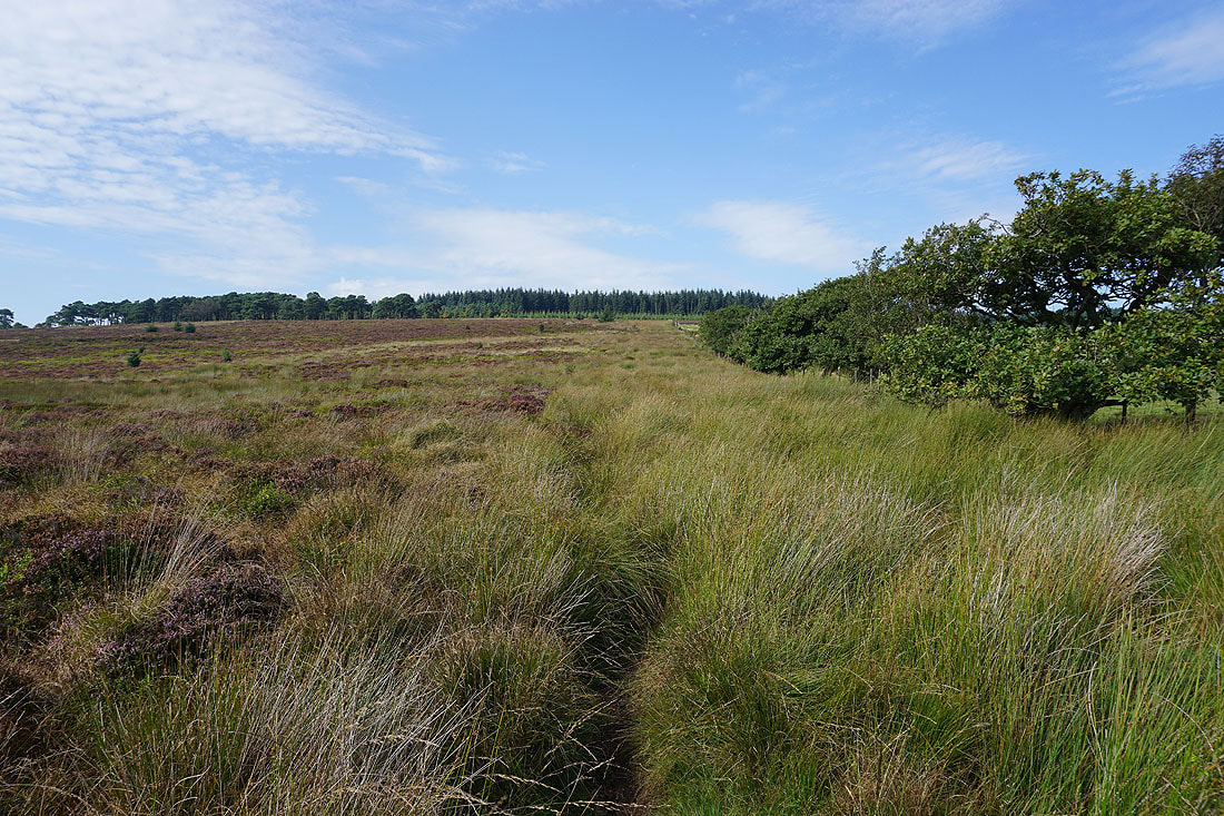
From the top of the lane I follow the footpath up the edge of a field towards the conifer plantations on Longridge Fell
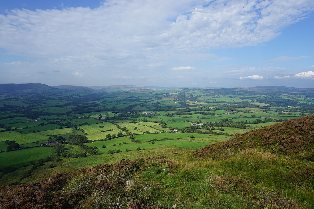
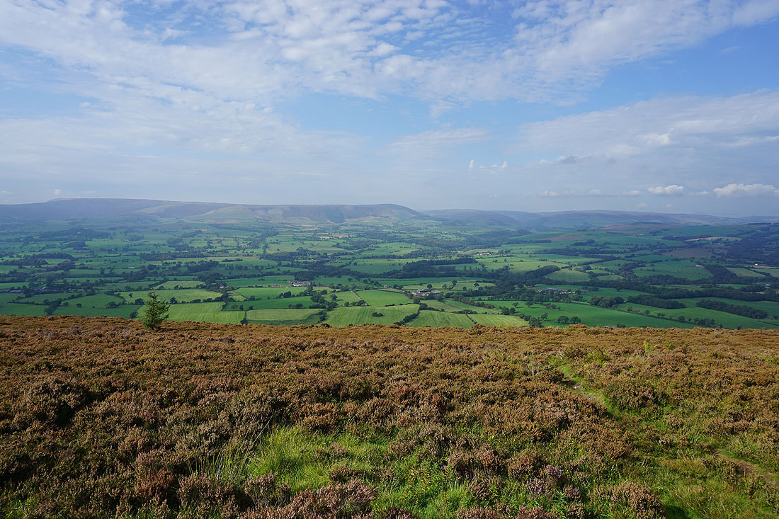
A short time later and I reach the northern edge of Longridge Fell, where I greeted by a view looking up the valley of the River Hodder to the fells around Dunsop Bridge
and across to Fair Snape Fell, Totridge, and the fells around the Trough of Bowland
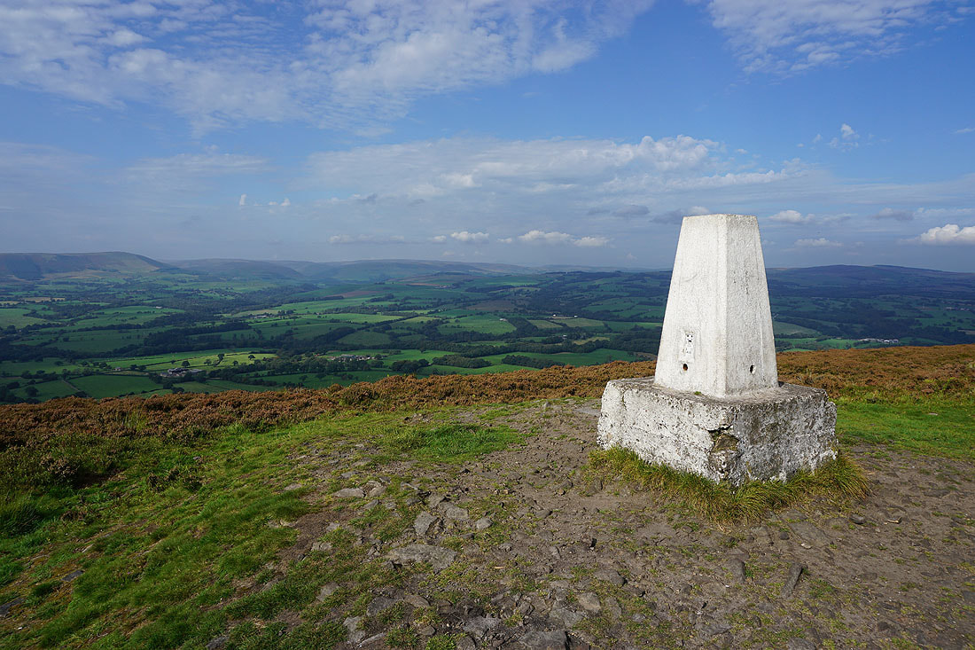
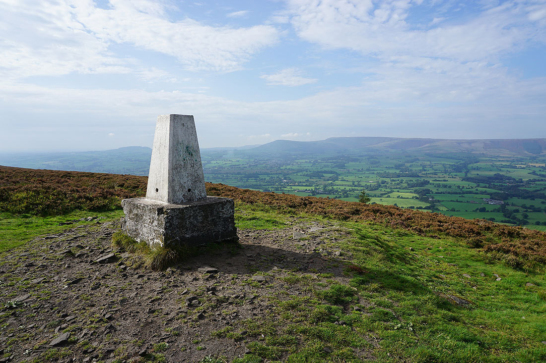
At the trig point on Spire Hill, the high point of Longridge Fell
Looking across the valley of the River Loud to Beacon Fell, Chipping, Parlick, and Fair Snape Fell
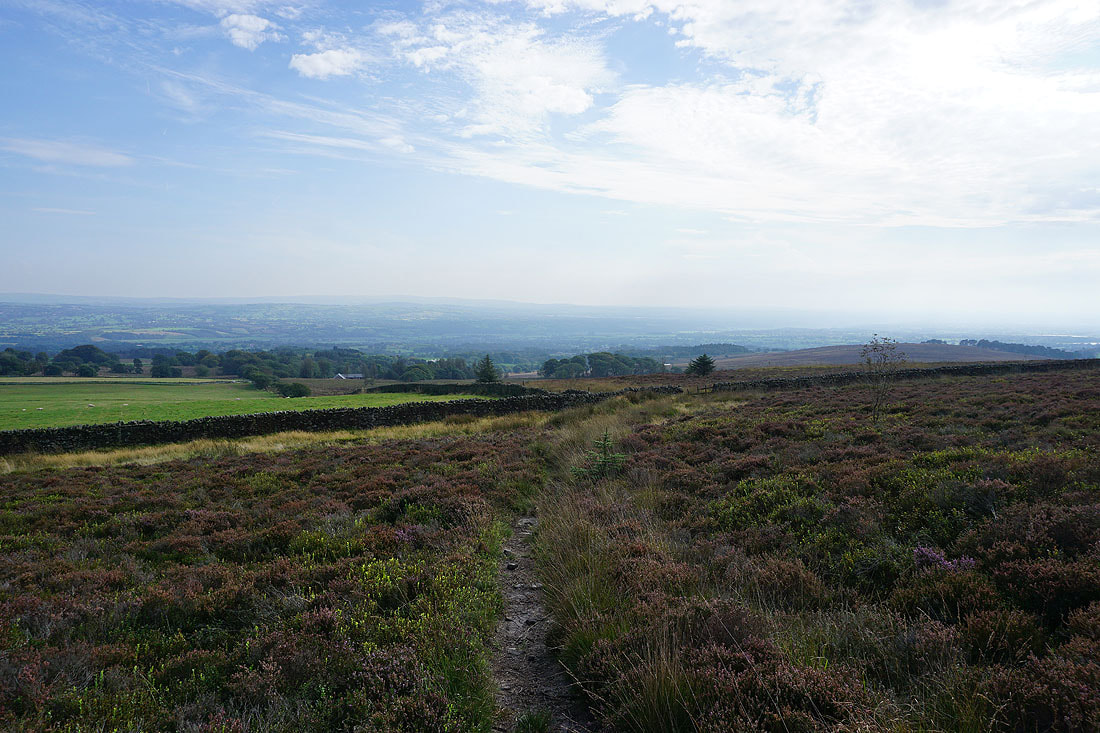
Having taken in the view, retracing my steps back down from Longridge Fell
To my left, Pendle Hill in the distance
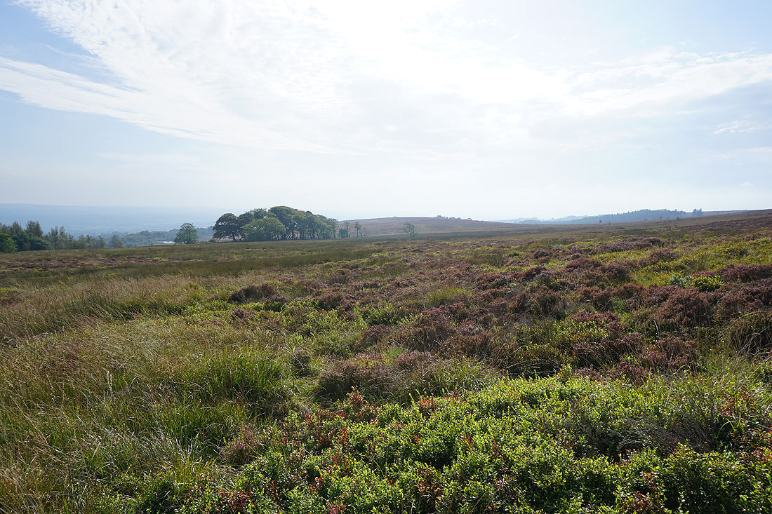
and to my right, the heathery expanses of Gannow Fell
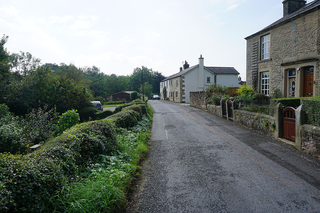
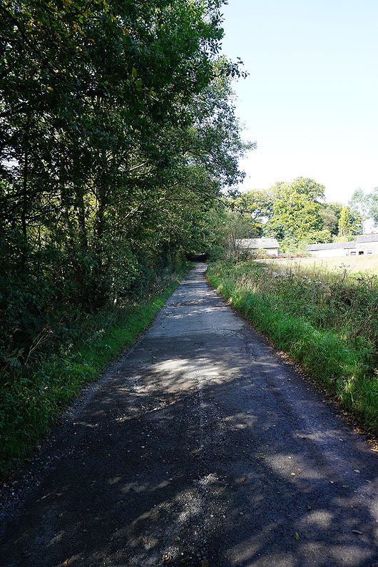
Back down the lane to Old Clitheroe Road
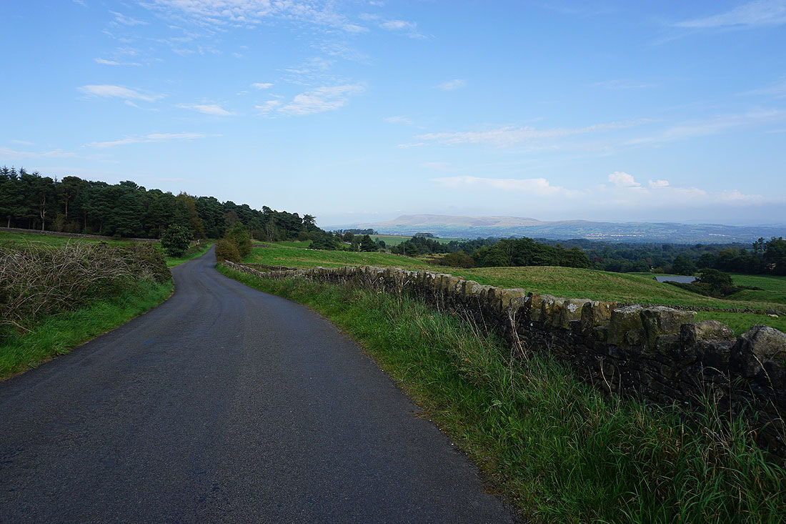
Pendle Hill in the distance as I walk east along Old Clitheroe Road back to where I'm parked
